VIKATGAD
TYPE : HILL FORT
DISTRICT : RAIGAD
HEIGHT : 2150 FEET
GRADE : MEDIUM
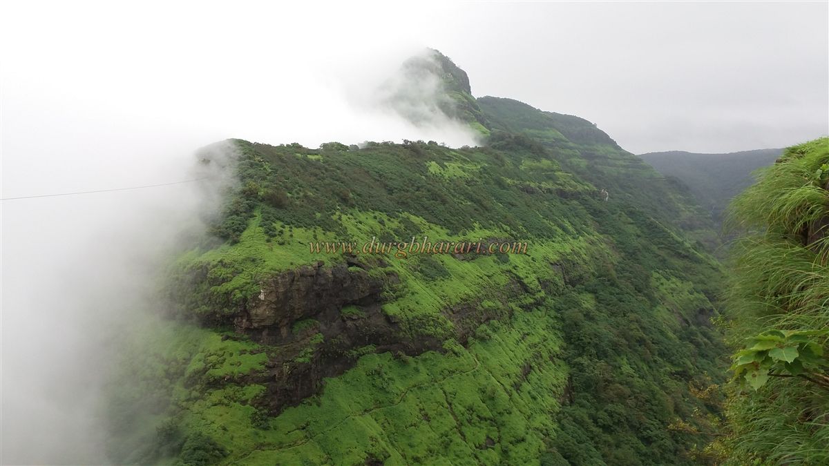
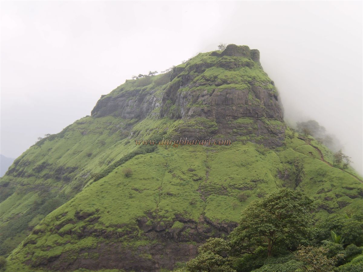
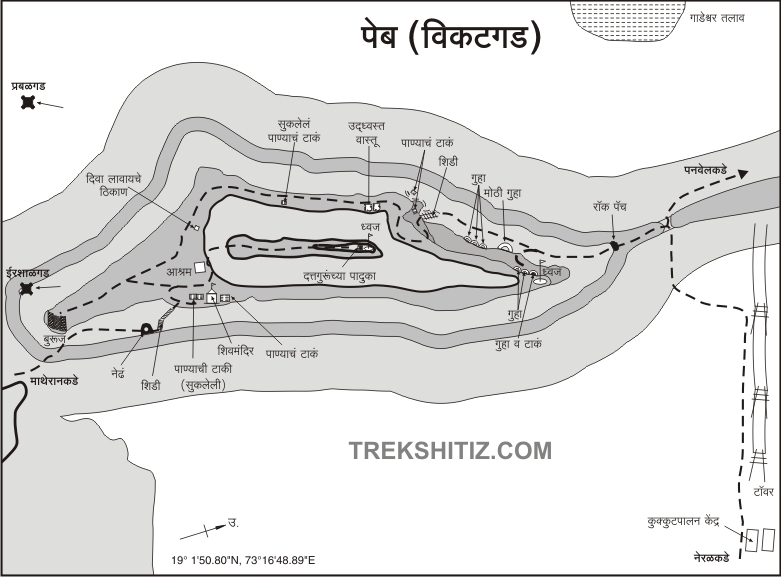
Peb Fort, also known as Vikatgad, is one of the easiest forts for travellers from Mumbai and Pune to visit within a single day. Originally named Vikatgad, it came to be popularly known as Peb Fort after the temple of Goddess Pebi at its base. The fort can be accessed from either Neral or Matheran. On the Matheran–Neral road and railway route, after Water Pipe station, the railway line crosses the road, and at this point, a signboard marks the path to “Peb/Prati Girnar.” This is where the trek begins, and one can reach this spot by ST bus or private vehicle. From here, the route continues along the railway track. After some distance, the track curves and reaches a pass from which electric wires can be seen leading to the opposite hill. This hill is Vikatgad.
After crossing the pass, to the right along the railway line, a saffron-colored iron arch with a small bell becomes visible.
...
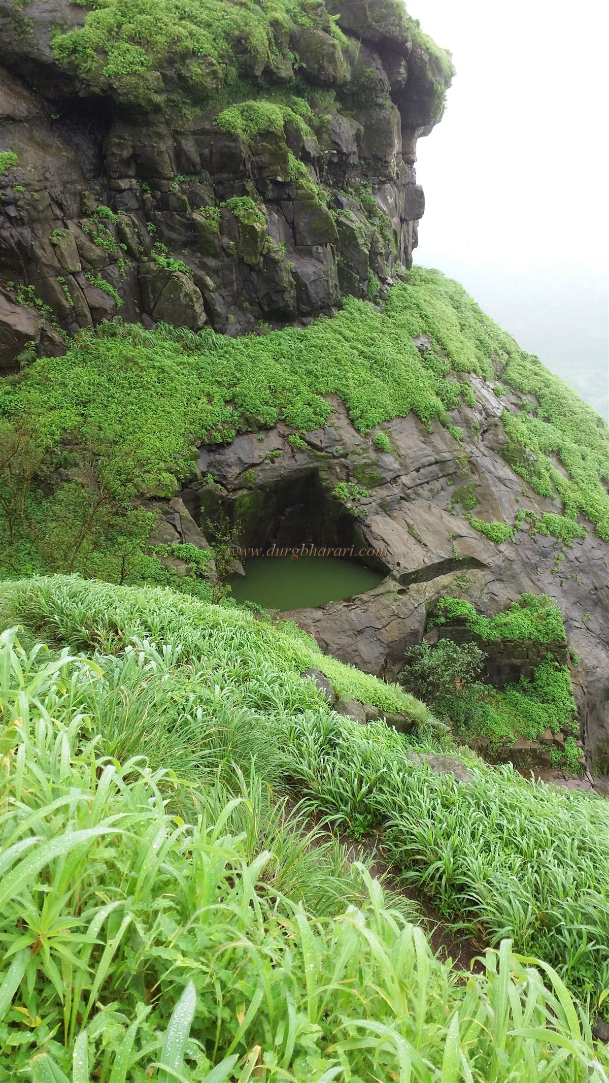
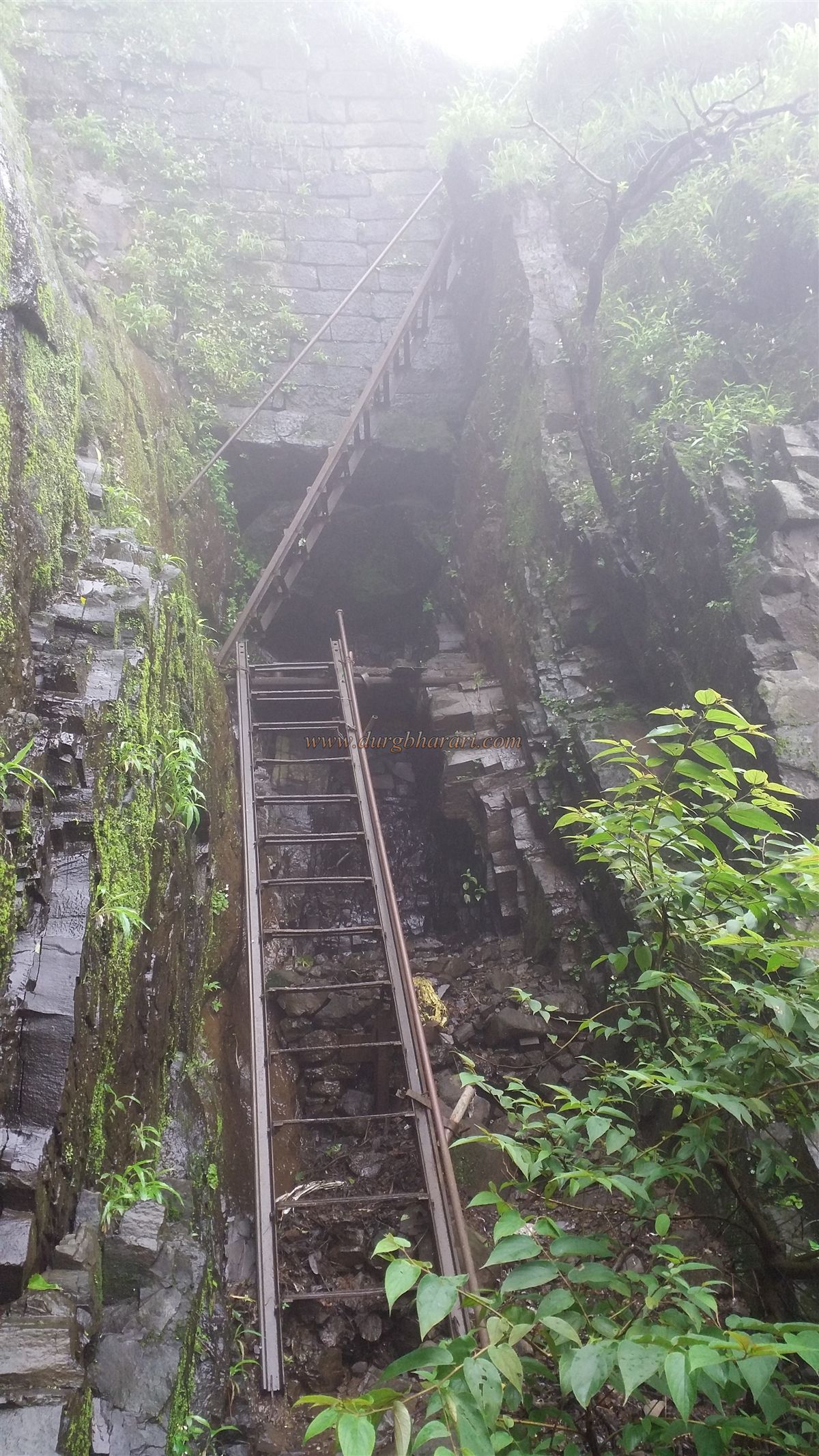
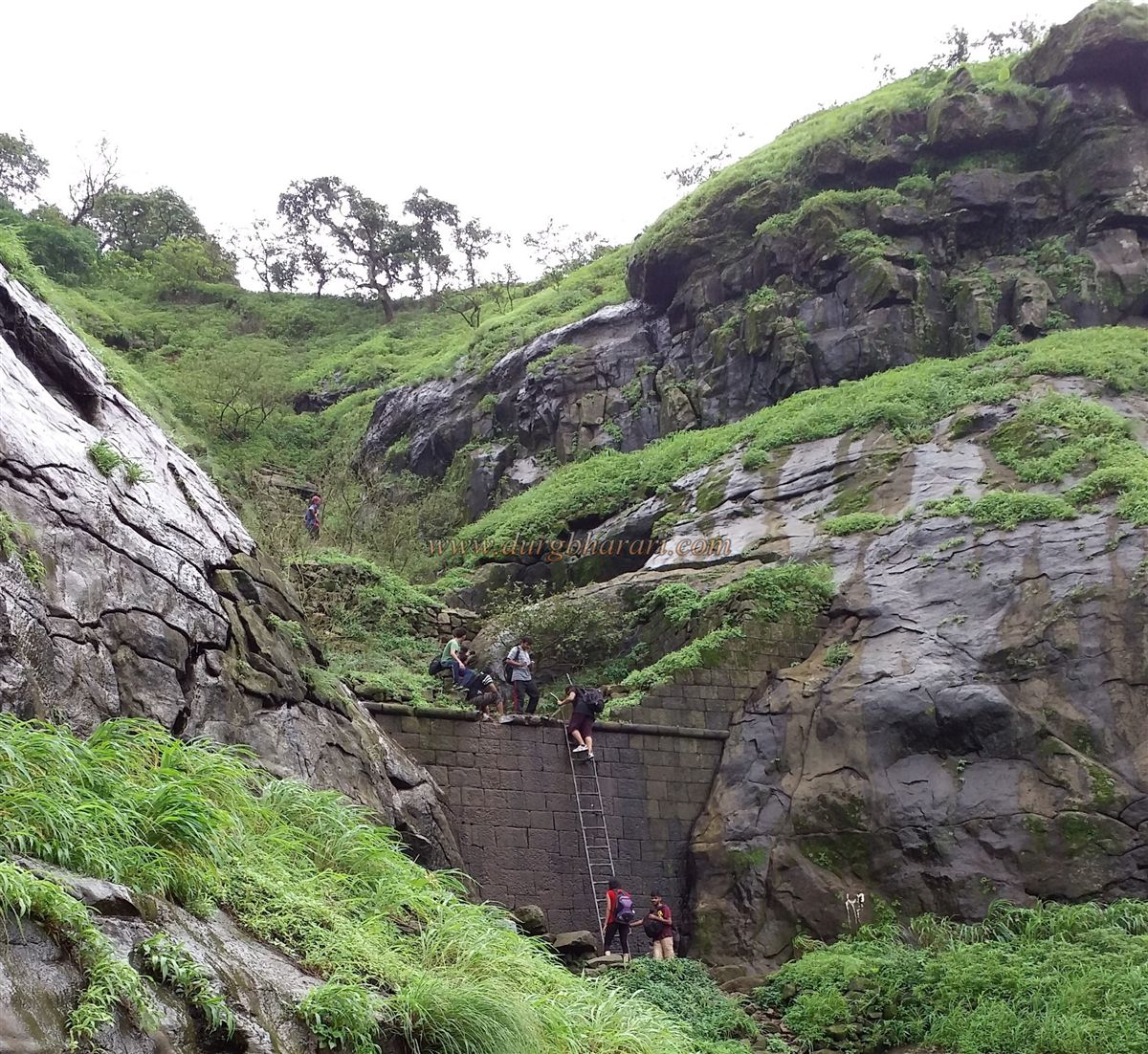
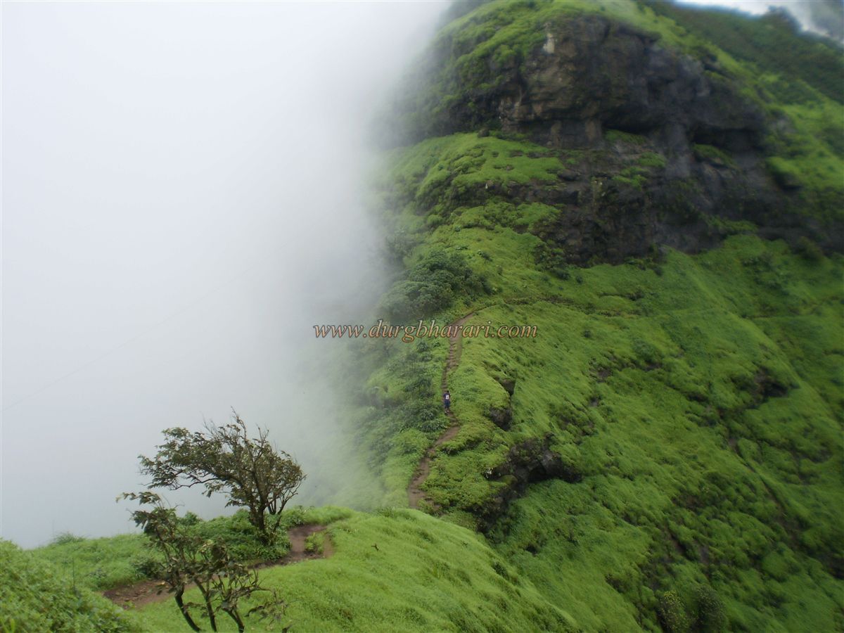
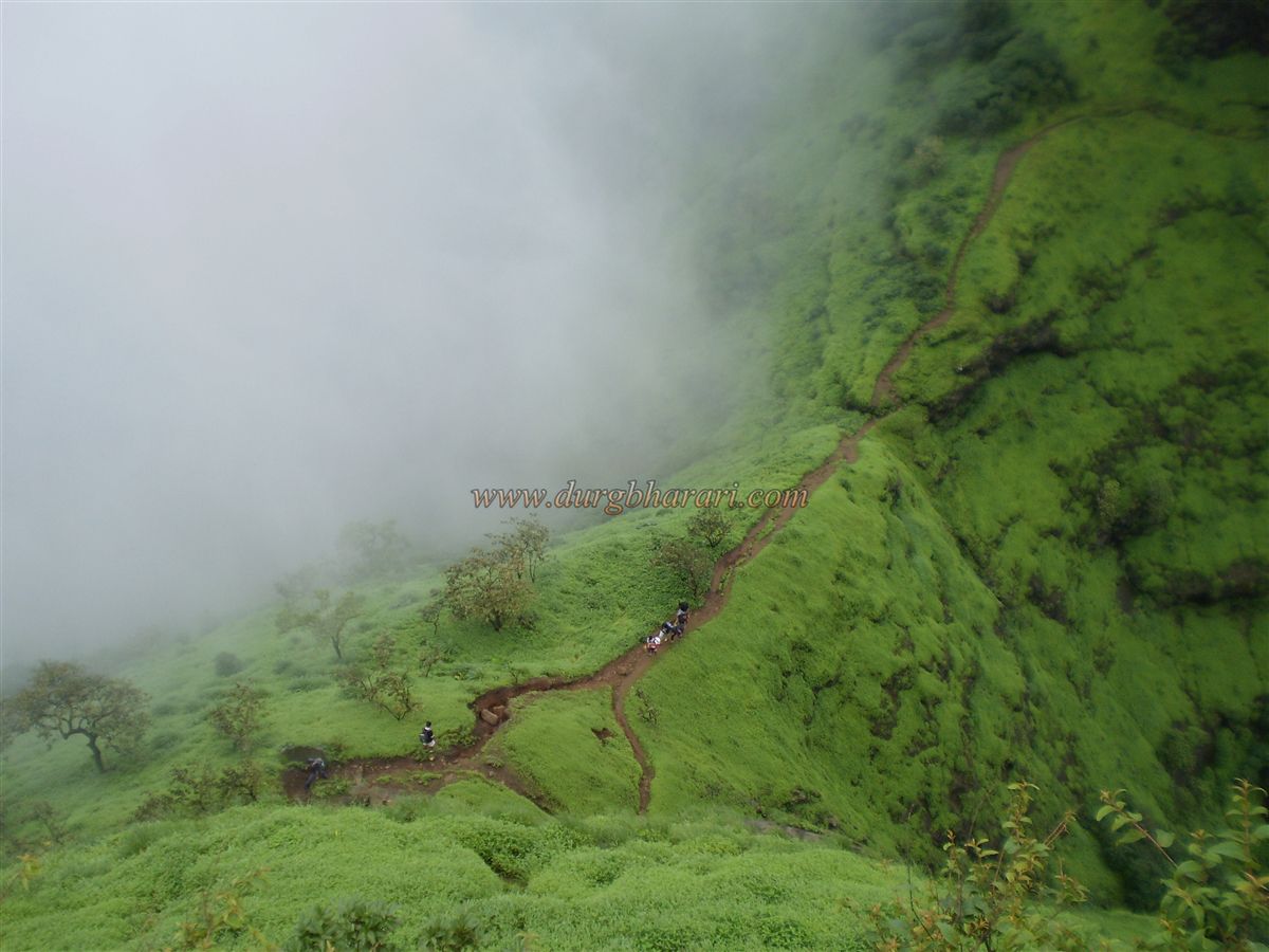
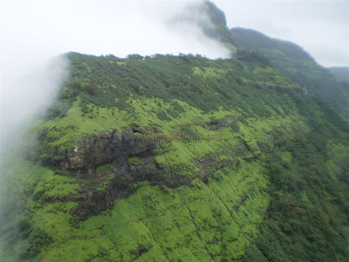
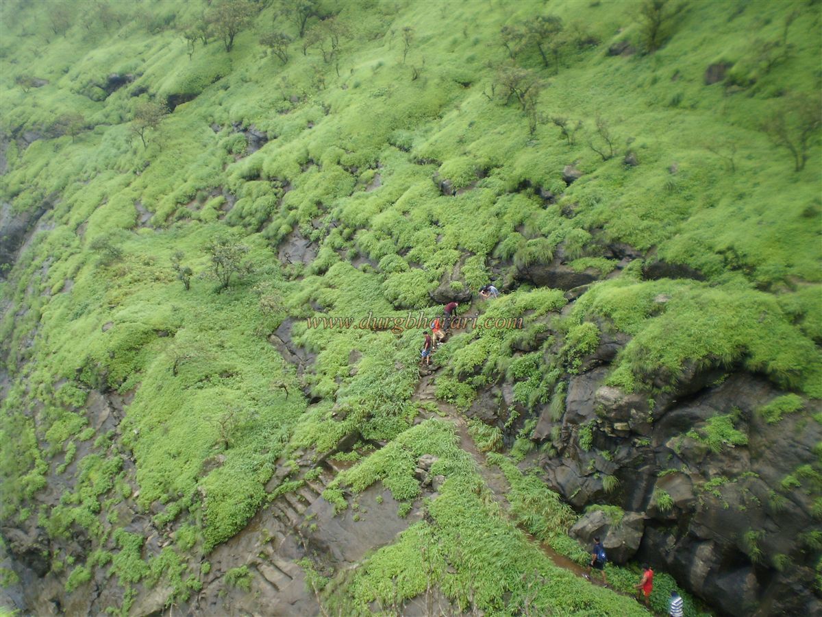
A metal ladder descends from this arch. It takes about 45 minutes to reach this arch from the road. From this point, one can clearly see Peb Fort and its ramparts, but to reach it, one must first descend into the valley. Along the trail, direction signs to Peb Fort are painted on tree trunks. A little further ahead, another ladder is encountered. After descending it and crossing the valley, the route climbs up the hill toward Peb Fort, skirting the left side of a rock face and following the edge of the mountain, leading to a pass between Peb and the Matheran range. From here, the fort’s only surviving bastion comes into view. Continuing along this route, two vertical ladders are encountered. Without these ladders, reaching the fort is nearly impossible. This spot was likely the original entrance to the fort. Near these ladders, there is a natural rock cavity. After climbing the ladders, one reaches a water tank near the Mahadev temple.
Upon entering the fort, the ruins of the ramparts on the left draw attention. These are the last surviving remains of Peb Fort’s defensive walls. It takes about two hours to reach the fort by this route.
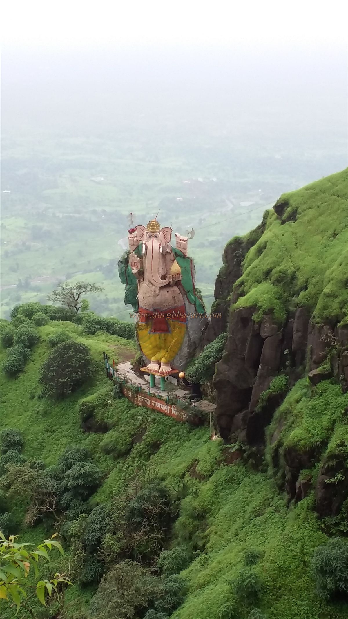
The second approach begins from Neral station. After leaving the station, the fort is visible next to the Matheran hill range. Following the path toward the mountains, one must take the right-hand trail toward the large electricity towers. After passing a tower with a concrete base, the trail continues to a large waterfall, one of the key attractions on this route. Near the waterfall, three paths diverge; the middle, well-trodden one leads to the fort’s caves. Along this route, one comes across a rock with a painting of Lord Ganesh. Climbing to the right of this rock and proceeding toward the pass, the path eventually leads to the caves. For first-time visitors, it is advisable to hire a local guide. This ascent takes about two and a half hours.
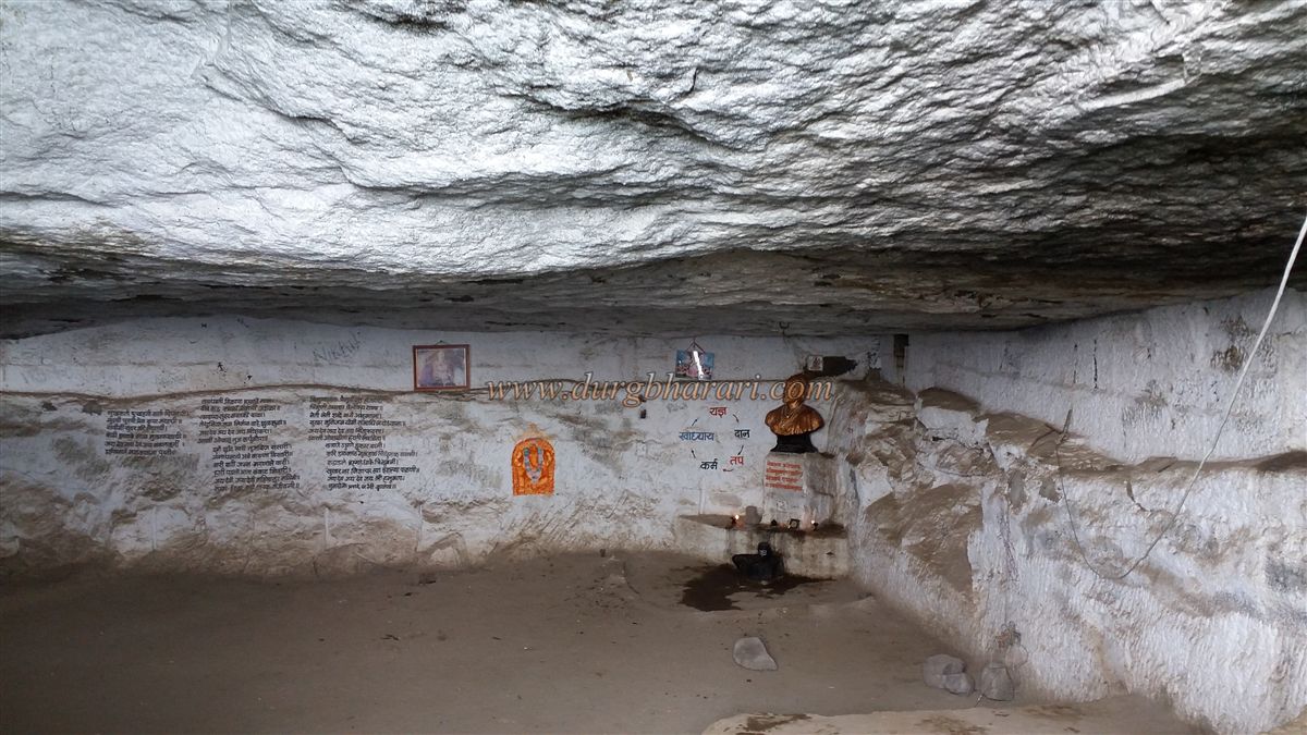
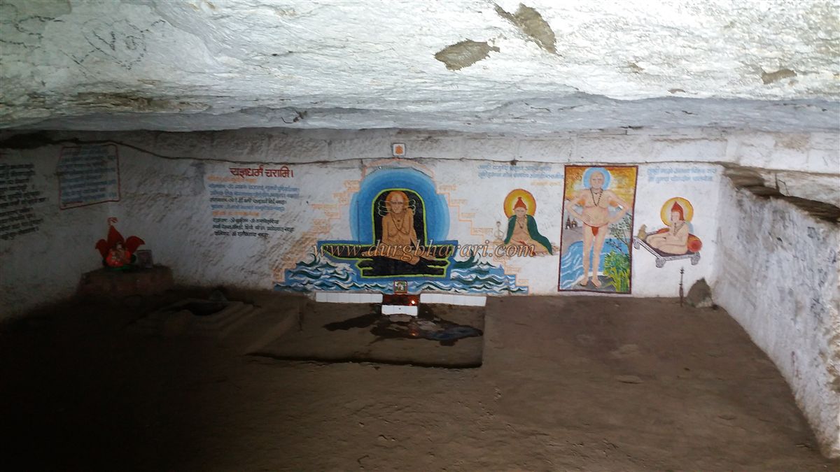
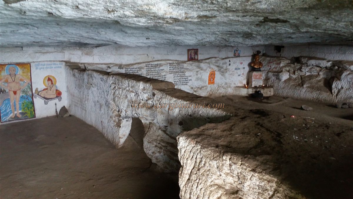
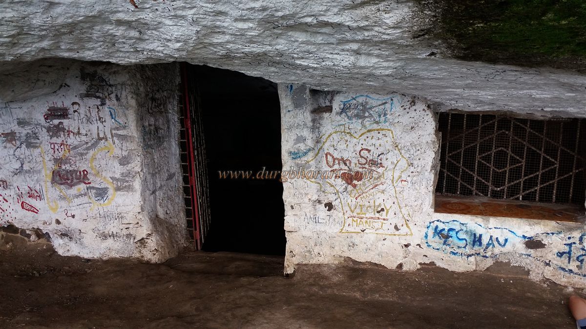
Upon reaching by this route, a massive cave is found on the left, capable of sheltering around 50 people. During monsoon, the view from this cave is breath taking. From here, one can also see the distinct rock pinnacles known as Navra–Navri and Bhatoba. Beside the main cave are several square-mouthed caves that require crawling to enter. One of these caves opens into a chamber large enough for 4–5 people, while another contains a water tank at its far end. A torch is essential for exploring these caves.
Continuing straight from the caves, the ramparts of the fort come into sight. Since the original path has been destroyed, a ladder has been installed to climb over the walls. Below this ladder are two medium-sized rock-cut water tanks, and another rock-cut tank is located to the right after climbing up. Beside this tank stands a small idol of Lord Hanuman. From here, stone-cut steps lead further up the hill. Along this path are the ruins of old structures and platforms of a wada (mansion).
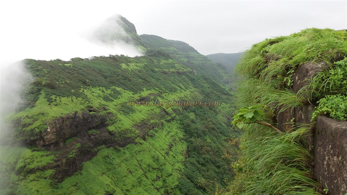
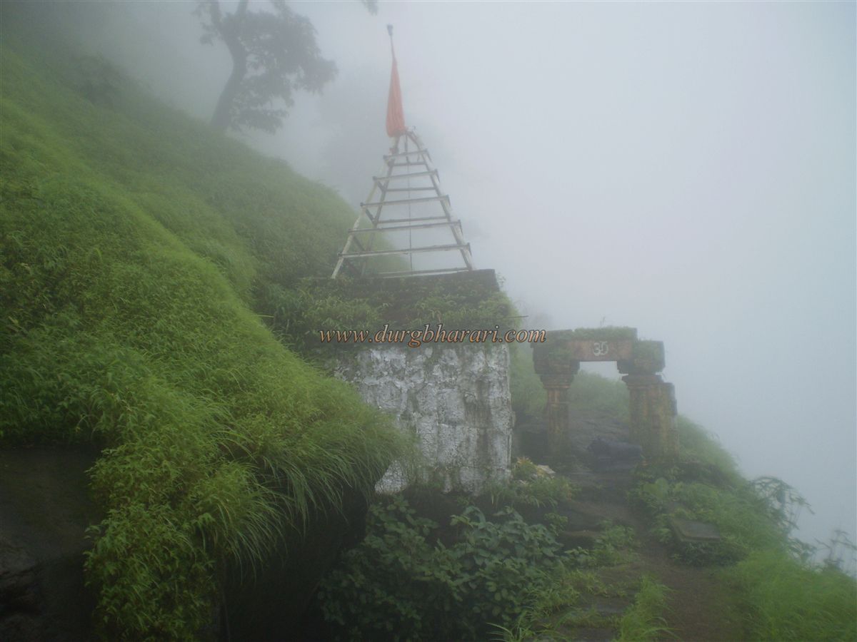
A little ahead, an ashram is reached where arrangements for accommodation and tea are available. Beside the ashram is a trail leading to the fort’s highest point. Climbing the ladder on this trail brings one to the summit, where the newly installed footprints of Lord Dattatraya are located. From this spot, panoramic views unfold — to the east, Neral and the Ulhas River; to the west, Gadeshwar Lake, Panvel, and Uran; to the north, the peaks of Mhaismaal, Chanderi, Tavauli, and the distant Malanggad; and to the south, Matheran and Prabalgad.
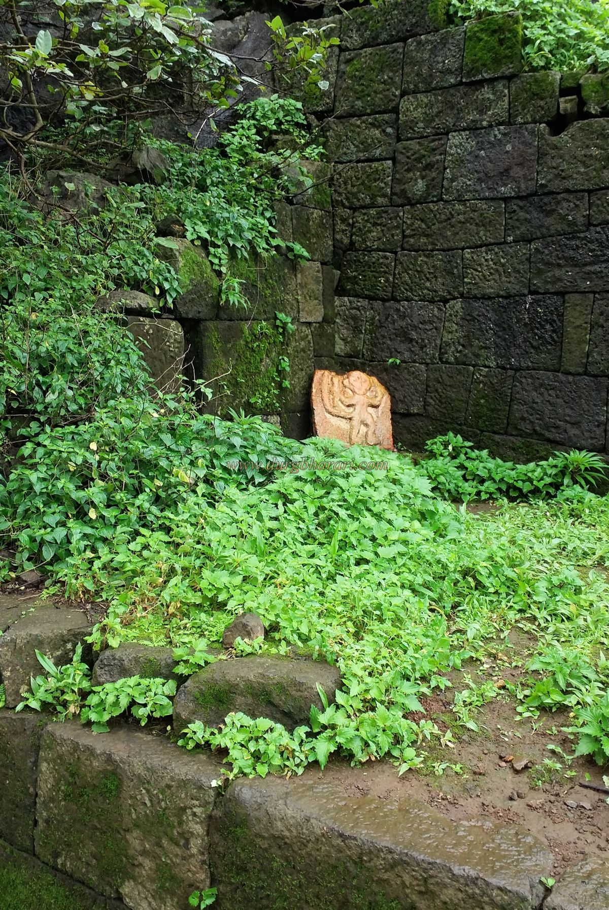
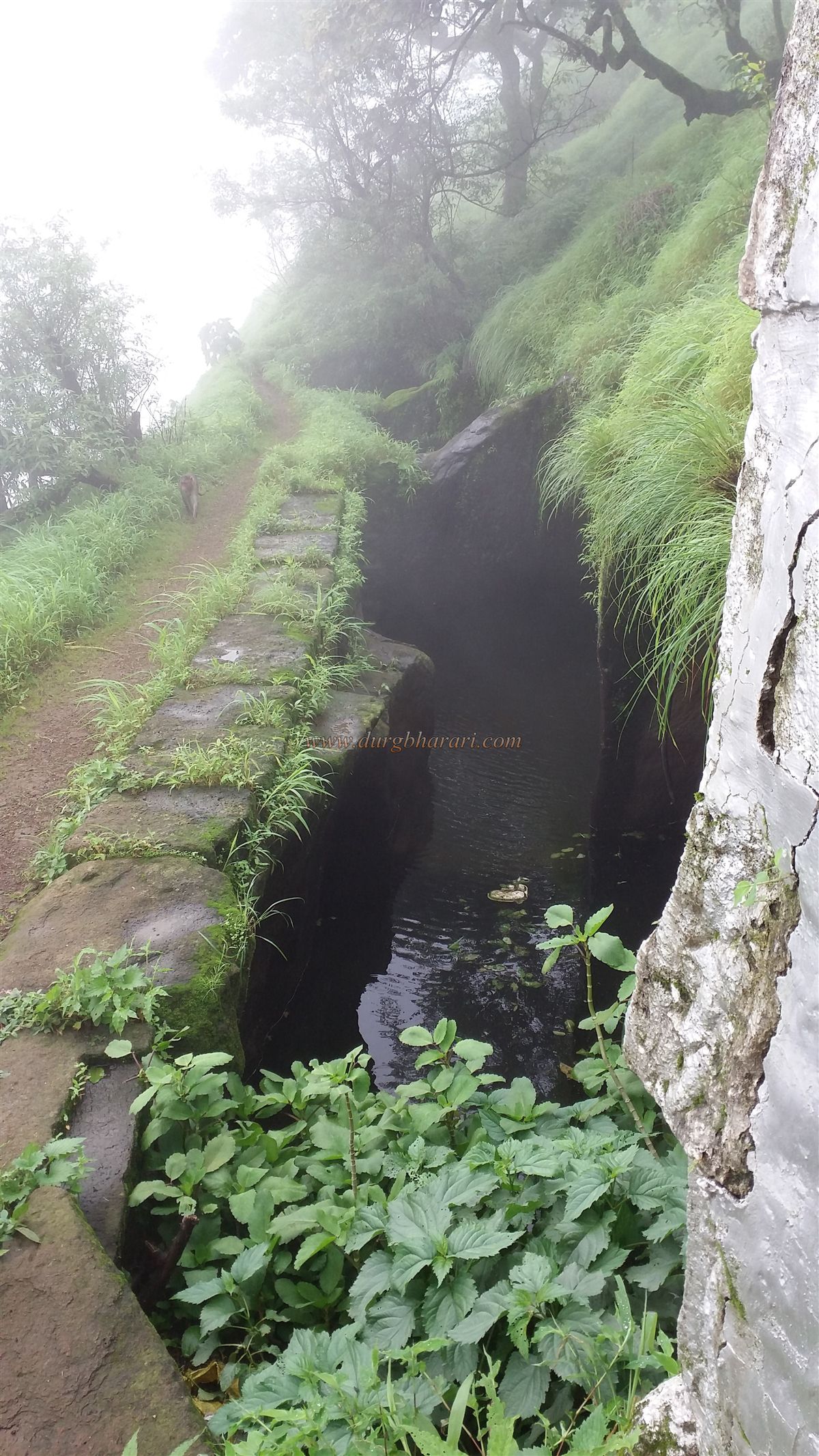
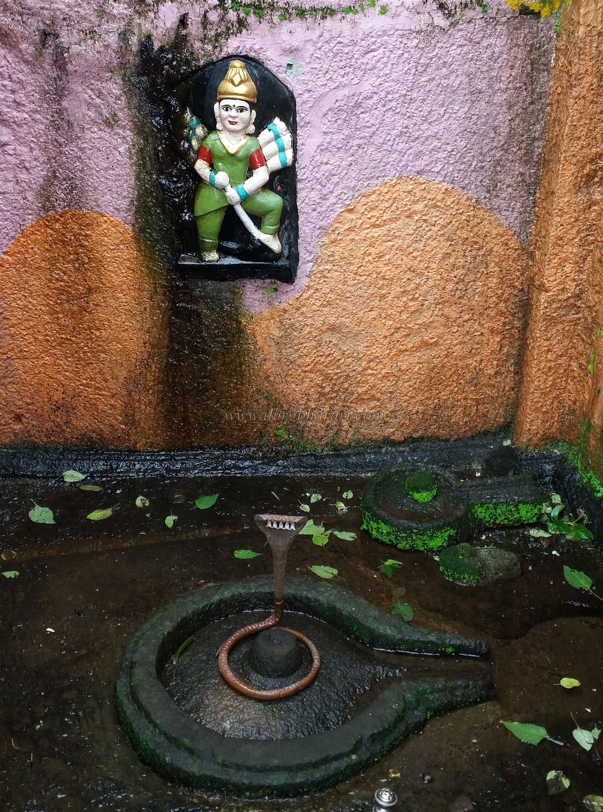
From this height, descending back toward the ashram, another trail leads to the southern part of the fort, where it’s only surviving bastion stands. The first approach described earlier passes below this bastion. After exploring the bastion and returning to the ashram, one can descend toward the cliff edge to find two drinking-water tanks. Nearby stands a Shiva temple with a carved image of Goddess Pebi on its wall, and on the wall of another adjacent tank is a depiction of a Yakshas.
This completes the exploration of the fort. One can return to Neral either by the original route or by descending via the path beneath the bastion to reach the Matheran–Neral road. Historical records suggest that during the Maratha period, Vikatgad served as a grain storage fort.
© Suresh Nimbalkar
GALLERY