VAGHERA
TYPE : HILL FORT
DISTRICT : NASHIK
HEIGHT : 3460 FEET
GRADE : MEDIUM
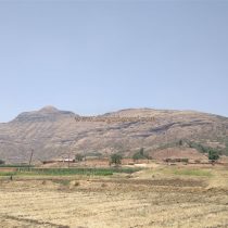
On Nashik - Harsul road 45 km from Nashik the Waghera village located on the top of the wharf. Beyond the dam behind the village stands the Waghera fort, which has a triangular-shaped head but is now only a remnant. This fort was built to keep an eye on Sati Ghat in the valley of Damanganga on the ancient trade route of Nashik-Trimbak-Jawahar. Upon entering the village, one can see a large cobblestone in the premises of the Gram Panchayat office on the right side and a large Nandi, Shivling, and Ganesh idol on the backside. According to the villagers, Waghera is an ancient fort and is known as the abode of Kashyap sages and is also the origin of the Kashyapi River. Later this river joins the Godavari River.
...
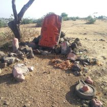
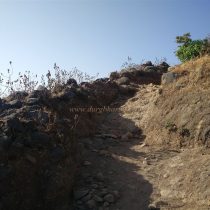
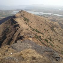
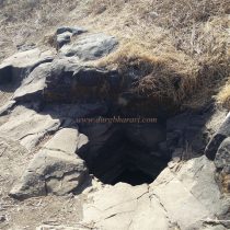
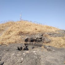
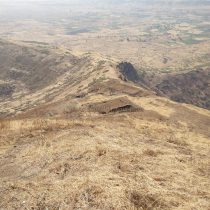
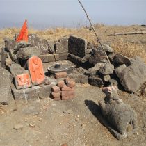
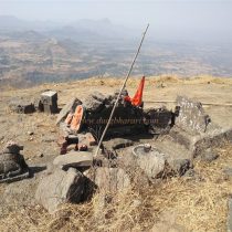
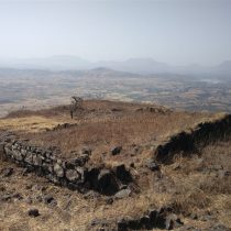
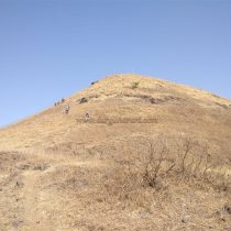
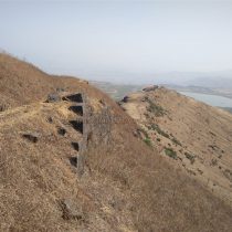
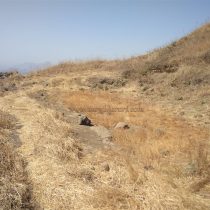
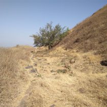
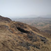
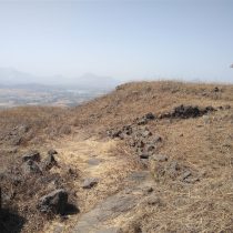
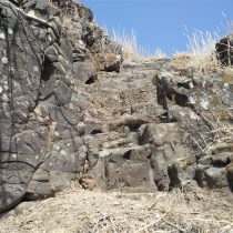
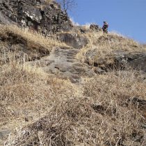
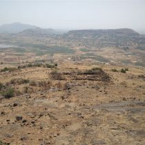
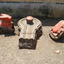
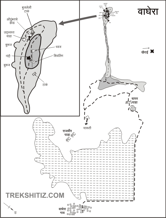
The present village of Waghera is not located at the foot of the fort but another village called Rajvihir Wadi is the closest village to the foot of the fort and is located about 4 km away from Waghera village. The villagers say that the former village of Waghera is at the top of Rajvihir Wadi. There is a story behind how Rajvihir Wadi got its name. Rajvihir means king’s well. The king's men at Waghera fort used to draw water from this stone well to provide the king water, hence it got its name Rajvihir. But, now this well has been renovated. A trunk of the hill where Vaghera fort is located directly descends in Rajvihir Wadi. As there is no tree shade and no drinking water on the fort except for the water in the first cistern on this trunk, plan to go to the fort early in the morning with enough water. An hour is enough to reach the fort from this trunk. After 15 minutes of climbing from the village, we reach a plateau. Scattered remains of houses of the old Waghera village can be seen in the east of this plateau. The idols of Lord Hanuman and a Shivling of the old Waghera village are still present here in the open. From here we reach the Machi under the fort in half an hour. But until we reach here, we get very tired. From Machi, you can see the pinnacle of Waghera. From here, after a ten-minute walk, we reach the top of the fort. There are remnants of a guard’s outpost here and after rock climbing a little onto the top of the hummock in front, you enter the fort from the ruined bastion. This part is of the inner Machi of the ramparts, with a cistern with a small opening on the right. Although this cistern is filled with water, the water in them is not drinkable. According to the guide that accompanied us, there are stone pillars on the inside of the cistern but they are not visible due to the water in it. This triangular-shaped fort is spread from south to north and the perimeter of the fort is spread over eight acres. On the right side of Machi is a sloping rampart with four bastions and some carved stones and quadrangle structures can be seen in the area. There are two ways to reach the top of the fort from here. Keep the fort on the right side and take a detour. On the way, you can see the ramparts and the bastions, as well as three cisterns of water carved into the rock but now filled with mud. The second way is to climb 15-20 feet from the cliff and go straight to the top. On this road, you can see a 5x5 foot square pit carved in the rock. A hole has been dug inside it to get water out of this pit, but the exact purpose of this pit is not known yet. There is a Shivling in the open on the head and in front of it, there is a Nandi and a broken idol of Ganesha. The top of the fort is 3418 feet above sea level. This is the highest point of the fort and from here you can see a large number of remains scattered on Machi and also the forts of Bramhagiri, Anjaneri, Ranjangiri, Ghargad, Songiri, Khairai, Ramshej, Dehergad, and Bhorgad. On the way down from this hill, you can see the remains of a large mansion and a neighboring administrative office of the fort from the previous times can be seen in front. Remains of some other structures are also scattered in this area. On the right side of the road are the ramparts and cisterns mentioned earlier and on the left side are 4 cisterns extinguished with soil carved in a row adjacent to the fort. One of these cisterns has a nice big umber tree. In front of this cistern, there is a rainwater harvesting lake and on the slope towards the bridge, another cistern carved in the rock can be seen. Go back from here and come back to the remains of the mansion. The two bastions on the opposite side of the fort once show signs of an east-facing gate to enter the fort. From here we come to the lower part of Machi on the fort by the steps carved in the rock. There are a lot of trees in this area and a lot of remains of houses. Looking at the trees here, there may be a water cistern here. After resting under a tree for a while, we continue our journey by the footpath parallel to the fort. The entire journey from the base of the fort to the head of the fort takes about 3 to 4 hours. The origin of Waghera comes from Wagher. The Wagher’s are a tribal community of Rajasthan. The villagers say that the fort got the name Waghera as it is under the control of the Wagher tribal community, but there is no proof to support this. The Peshwa Daftar records that people were taken from Nashik's Waghera for cooking and making arrangements at Sawai Madhavrao's wedding. In 1803, the Waghera tribe under the leadership of Patramal Manek, the hero of Waghera, revolted against the Gaikwads of Baroda, and later Mulu Manek and his brother Bersi Manek also revolted. Khanderao Gaikwad dealt with the Wagher’s with the help of the British as there were frequent rebellions against the British and Baroda. Waghera fort, which was under the control of Peshwa, was captured by the British in 1818. At that time, when Colonel John Briggs visited the fort, he found nothing there but houses. In the uprising of 1857, Jodha Manek, the chief of Wagher, declared himself the king of Okhamandal, and Nanasaheb became the chief of the Peshwa, but was then defeated by Colonel Donovan's army.
© Suresh Nimbalkar

