USARNI BASTION
TYPE : SINGLE BASTION
DISTRICT : PALGHAR
GRADE : EASY
Due to Bombay, the Konkan region is divided into two parts namely North Konkan and South Konkan. The stretch from Vasai to Daman is known as North Konkan and the stretch from Alibaug to Karwar is known as South Konkan. As the Portuguese ruled North Konkan for a long time, they built many small forts along the coast for the protection and administration of this area. Most of these forts have been extensively damaged and very few remnants remain. Usarni Bastion on the mouth of a small river entering the sea at Usarni is one of them. Safale railway station of Western Railway is the nearest place to visit Usarni Bastion and the distance from the railway station to Usarni is about 14 km. Buses and rickshaws are available to reach Usarni. As this fort is completely unknown to the locals, one should explore this fort with sufficient information.
...
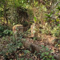
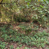
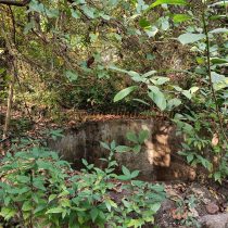
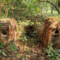
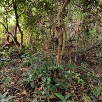
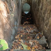
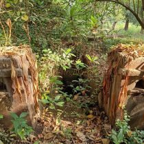
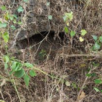
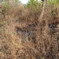
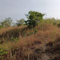
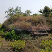
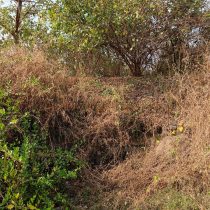
To go to this bastion, from the fork of Usarni village, you should first approach the school near Usarni. Standing in this school premises facing the sea, one can see a path on the left leading towards Suru trees. If you do not get the idea of the way, ask the locals for the way to the dam. After walking straight for 20 minutes along this path without turning anywhere, we come to the mouth of the river which flows into the sea from Usarni village. Before coming here, there is a medieval Shiv temple in the forest on the left side, but there is not much remnants present there. The distance from the school to the river mouth is about 1 km. On coming to the mouth of this river, a small round hill can be seen in the middle of the riverbed entering the sea on the left side. This is a part and the 15 feet high circular elevation seen here is the bastion of Usarni. The chief tower of surveillance. Due to constant tides, the entire bastion has been destroyed today and only some of it remains. Although the entire bastion has collapsed, 10-12 piled stones can be seen at one place. The most important thing is that this bastion has a small barn and due to constant tides, the interior except for the mouth has accumulated a large amount of sand. Apart from this, no other remains of the fort are visible. A ladder must have been used to get to and from the bastion. An embankment has been built on the stream of river behind the fort. The stones used in some places for this embankment must have been from this bastion. 10 minutes is enough to see the bastion. Around the 16th century, along with other forts in this area, this fort was also built by the Portuguese. The main purpose of these forts built by the Portuguese was to watch and protect waterways. It was supposed to be used to monitor the shipping lanes of the bay and to intercept visiting boats with long-range cannons. Using all these small forts, watchtower, the Portuguese established their empire along the North Konkan sea route. After the victory over Mahim fort in the Vasai campaign of 1739 AD, the area came under the control of the Marathas in January 1739 and the Portuguese unsettled from this area forever. If you want to see the Portuguese watch post on the sea route and its geographical importance, you must visit this place.
© Suresh Nimbalkar

