TUNGI-RAIGAD
TYPE : HILL FORT
DISTRICT : RAIGAD
HEIGHT : 1965 FEET
GRADE : MEDIUM
Some of the forts in the Sahyadri region have lost their recognition in history, leading to some confusion regarding their names and locations. Due to this confusion of name and location, one such watch post (fort?) which has remained unidentified, is found in Karjat taluka of Raigad district. This hill with a lookout point is now known as Tungi Fort. Now let's see the mention of this mountain in the books of history. In the book of G. N. Dandekar “Kille”, the name of Tungi fort appears in the list of forts in the Colaba district of that time, but neither Padargad nor Kalawantin Mahal. So they do not know exactly which Tungi Fort they are mentioning. But probably it should be Padargad. After this Mr. Anand Palande in his book “Durgvastu” mentions the fort of Padargad as Tungi. Apart from this, the third mention of Tungi fort comes in the book “Raigad jilhyache Durgvaibhav” written by Sachin Joshi of Pune.
...
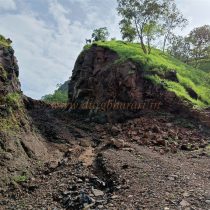
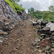
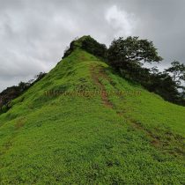
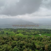
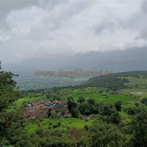
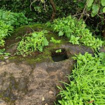
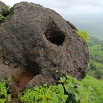
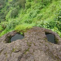
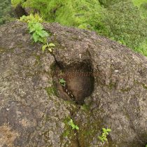
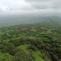
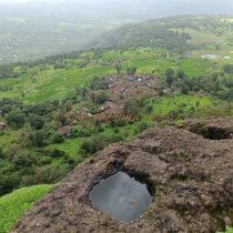
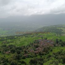
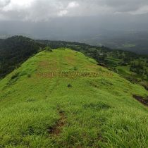
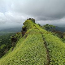
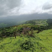
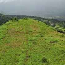
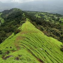
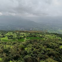
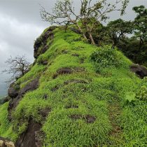
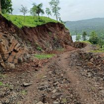
It is written that Tungi and Padargad are two different forts and there is a way to go to Tungi peak through the pass between Tungi and Padargad. Basically, Tungi is far away from Padargad and there is no pass to reach it, so there is confusion in the mind as to which Tungi Fort Sachin Joshi writes about. Keeping all these questions in mind, I visited Tungi (Fort?) and tried to present what I saw here. To go to Tungi Fort, first we have to reach Karjat Station. From here there is a road called Karjat-Khandas and after passing Kashele village on this road, there is a village named Pathraj before Khandas. The distance from Karjat to Pathraj is about 25 kms. After crossing the river bridge at Pathraj village, a small but paved road leads to Dongarpada village at a distance of 2 km. There is an unpaved road from this village to Tungi village under Tungi fort and a jeep-like vehicle goes to Tungi village except during monsoons. Other vehicles can reach the base of this hill. This is the closest route to Tungi Fort. Going directly to the base of the mountain by private vehicle, the distance from the base of the mountain to Tungi village is 2 km and the road is uphill so it takes about half an hour to reach Tungi village. Tungi village has about 50 houses and the village has a school up to 4th standard. If you want to stay in the village, you can stay in this school and home-cooked meals will also be provided on request. A paved path from the village leads to the Tungi fort and one can easily reach the fort. The path leading to the top of the fort is going from a narrow trunk and there is not much flat area on this trunk. After crossing the dirt road, you will see square-shaped carvings in the ascend. This path seems to be carved somewhat like a step. After going up this path, on the left side of the cliff, one can see a stitch carved into the rock. After seeing this, going straight ahead, we reach the highest point of the fort. At this place, there are six-seven carvings in square shape and a flag pole is planted here. There is enough space for six people to sit on the top and wide area can be seen from this place. This peak is midway between Padargad and Kothaligad and is quite far from the main hill range. Although there are no remains of a fort on the top, this peak was probably used mainly for monitoring and sending messages in the past.
© Suresh Nimbalkar

