TANDULWADI
TYPE : HILL FORT
DISTRICT : PALGHAR
HEIGHT : 1470 FEET
GRADE : MEDIUM
Because of Mumbai, the Konkan region has been divided into two parts — north Konkan and South Konkan. The stretch from Vasai to Umbergaon is known as North Konkan, while the stretch from Alibag to Karwar is called South Konkan. In terms of natural beauty, South Konkan is richly blessed, and though it is very close to Mumbai, it has not developed as much as it could have for tourism. In the northern Konkan, in the former Thane district (now part of the newly formed Palghar district), stands the Tandulwadi Fort, surrounded by dense forests and guarding the Vaitarna River. This trek can easily be done in a day from Mumbai.
To visit Tandulwadi Fort, you have to reach Saphale railway station via the Western Railway local train. Tandulwadi, the village at the base of the fort, is 7 km from Saphale station and 14 km from Varai Phata on the Mumbai–Ahmedabad highway.
...
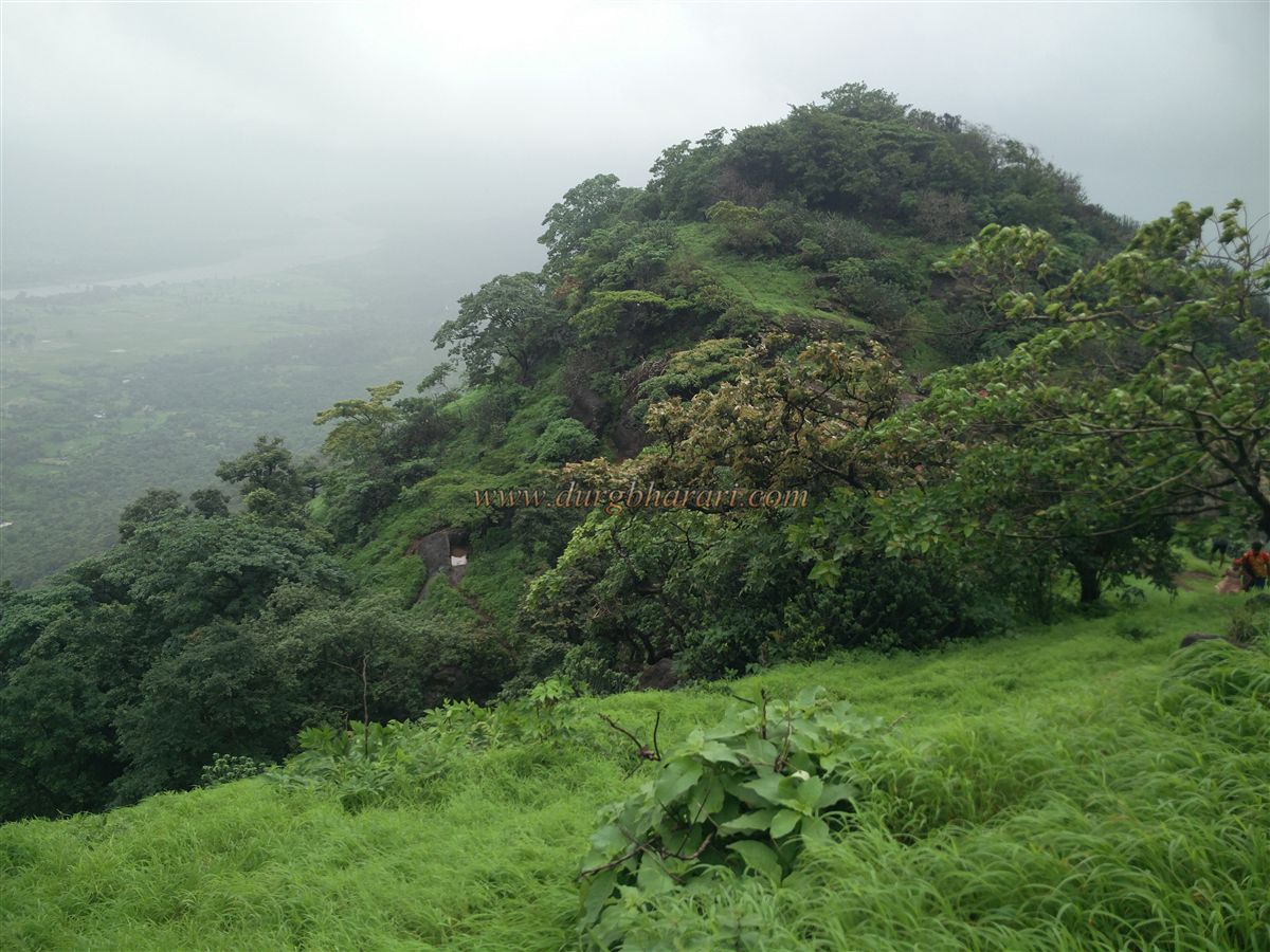
On the way from Varai Phata, you first reach Pargaon Phata, cross the bridge over the Vaitarna River, and then arrive at Tandulwadi Phata. From the village, the beautiful view of the fort behind it can be seen. The hill on which the fort stands stretches north to south, with an elevation of 1,427 feet above sea level.
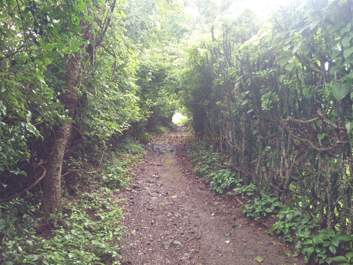
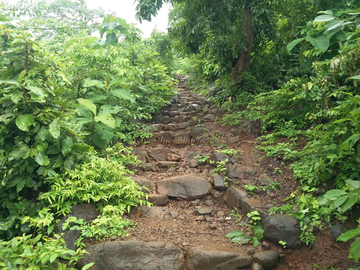
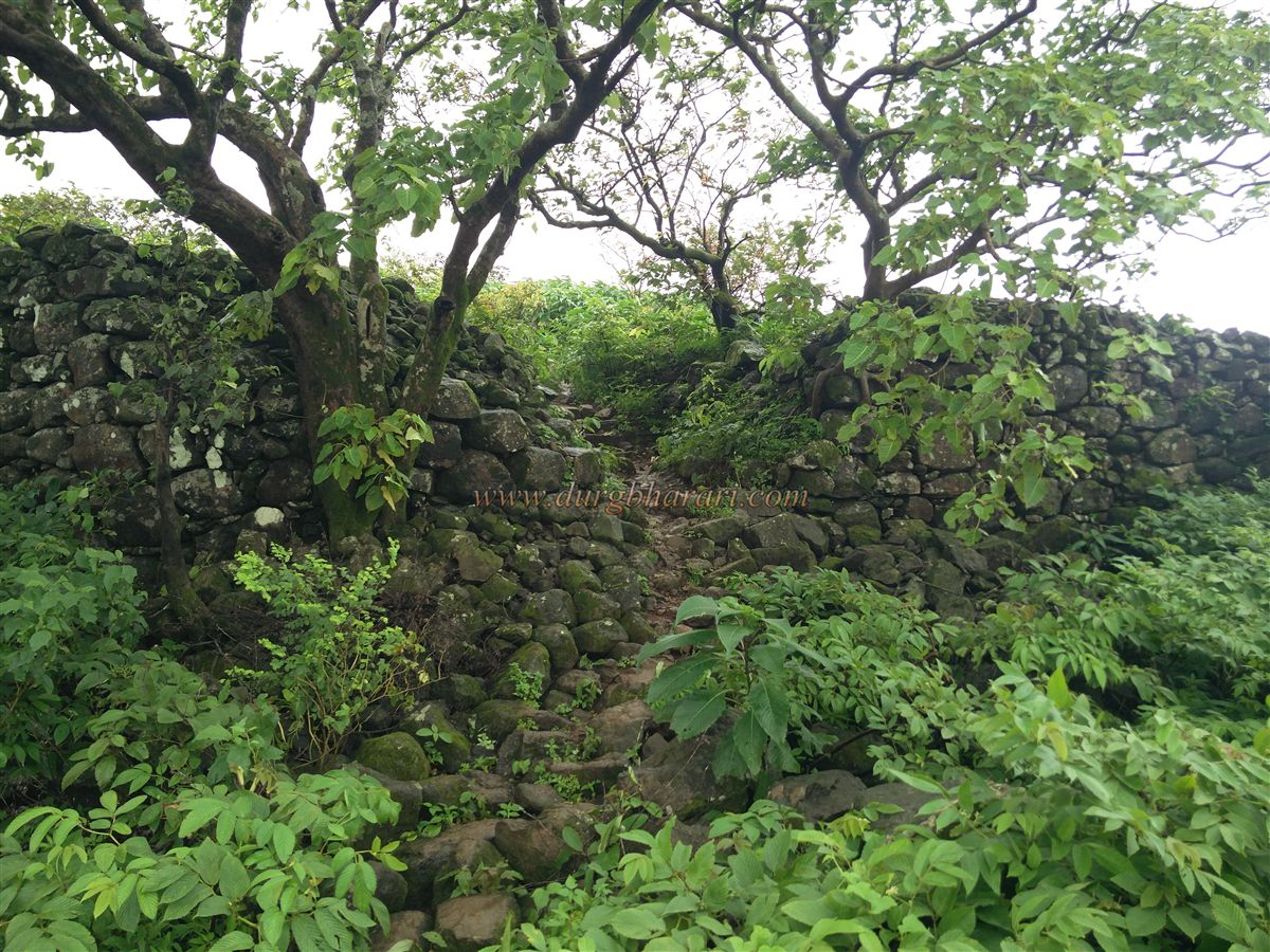
In the village, in front of the school, there is a cement path. Entering the village via this path, after passing 10–12 houses, you reach the rear of the village. Here, there is a small dam; crossing the wall of this dam, you get on the trail to the fort. This path leads directly to a plateau at the base of the fort. The steps on this trail were built by volunteers from Sahyadri Mitra Parivar, Makunsar, and Kille Vasai Mohim, making this steep climb much easier. Since locals and their livestock use this trail, there are a few diverging tracks, but one should stick to the stone steps.
This trail takes you to the Hajeri Maal plateau in about an hour. In the fort’s active days, visitors would register their names here, hence the name Hajeri Maal. The next plateau ahead is called Ghodmal. The fort area is surrounded by thick forests, and from this plateau two paths lead to the fort. The left path climbs up via the trunk (a rocky ledge) directly to the fort, while the right path skirts around the fort, enters the forest, and ascends through the pass between two hills. On the first path, at one spot, there is a 10-foot rock face that requires easy rock climbing. Though shorter, this path tests the skills of inexperienced trekkers.
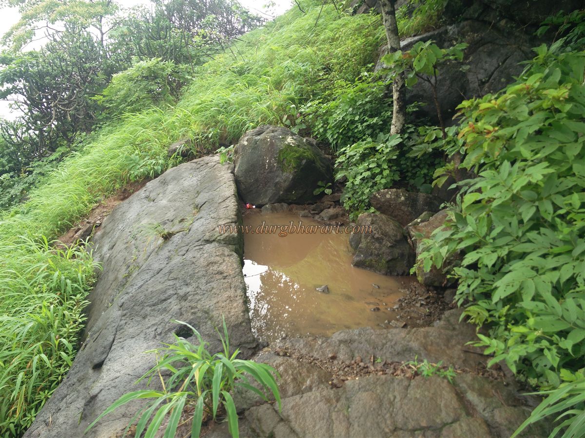
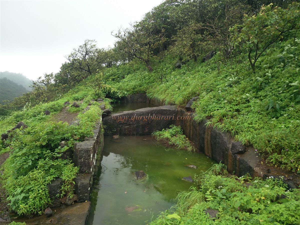
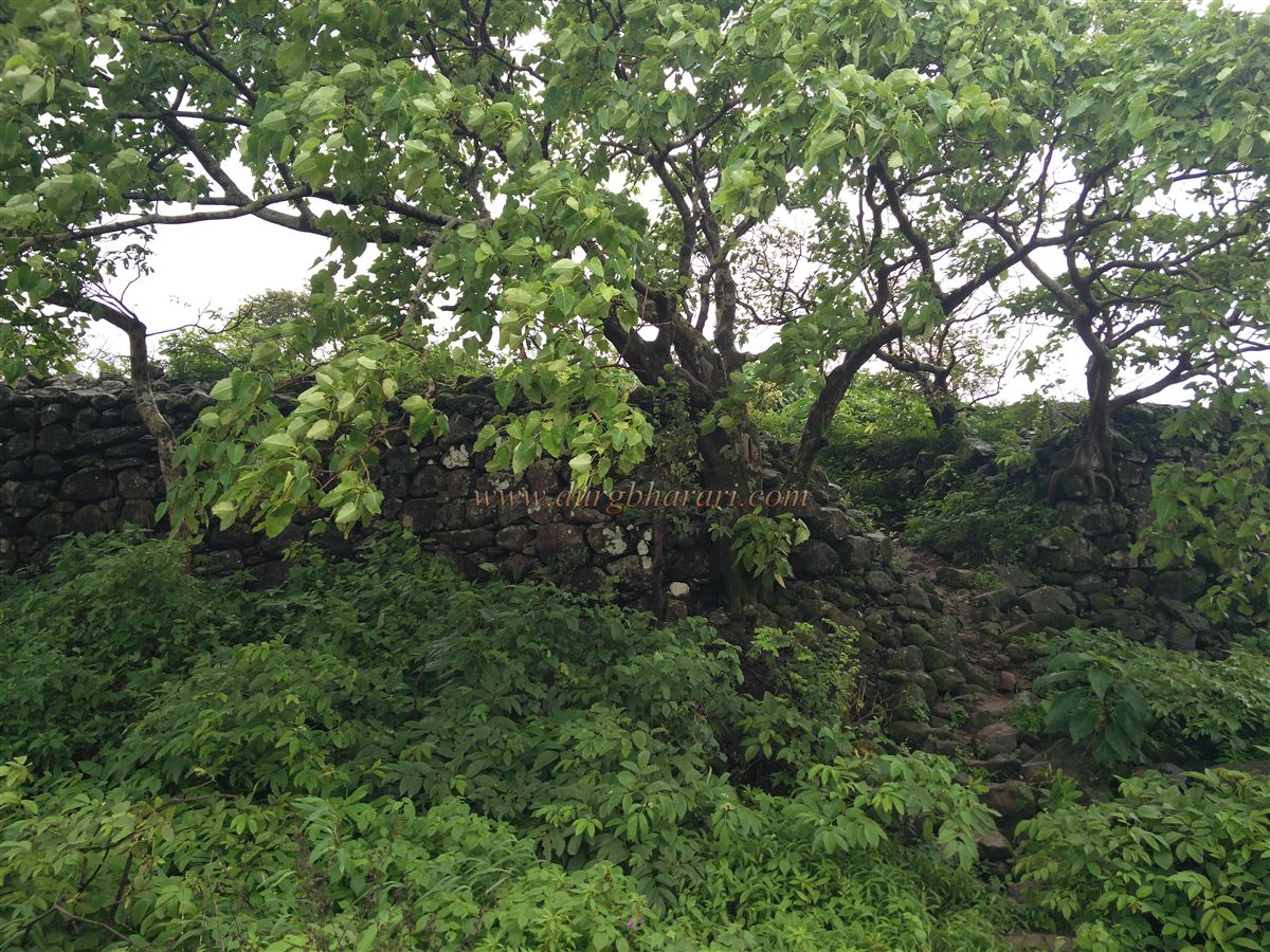
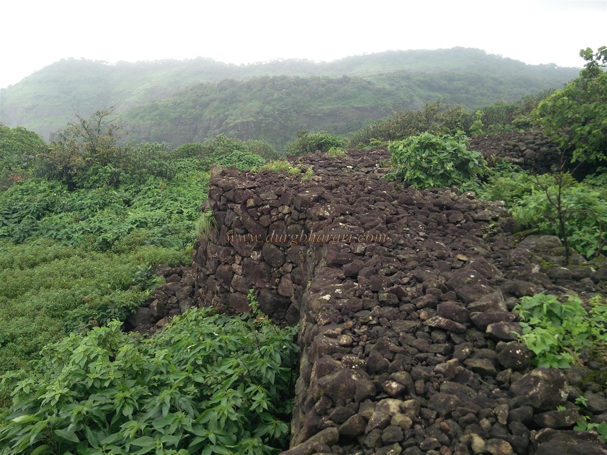
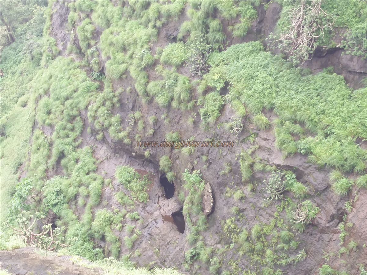
In the monsoon, moss makes this route slippery, and in summer, loose gravel causes the trail to become unstable. After three stages of ascent, you reach the fort. Along this route, you see a water cistern, fort walls in the gap between the fort and the neighbouring hill, and the ramparts along this way.
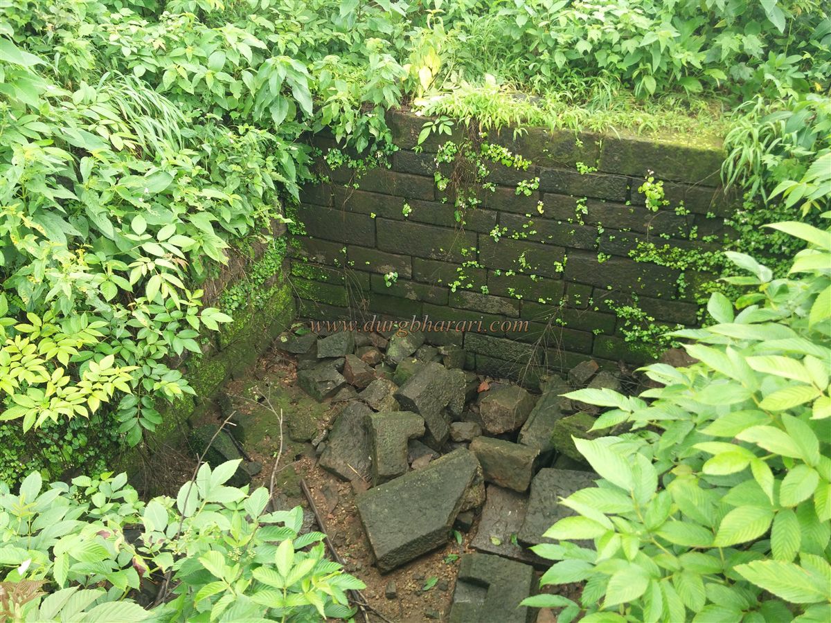
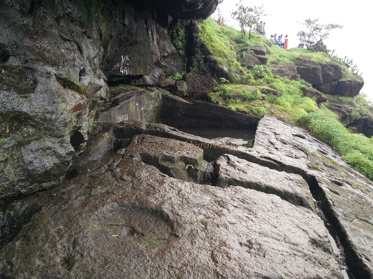
The second path is the main entrance route to the fort. It takes longer and is more tiring but is safer. Since the original path has collapsed, you have to cross large boulders before entering through the main gateway. Though the main gate no longer exists, outside it you can still see two water tanks carved into the rock and remnants of bastions. A good plan is to ascend via the first path and descend by the second, as this allows you to see the entire fort with less effort and time.
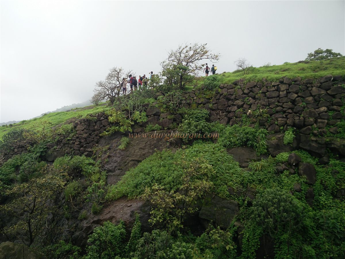
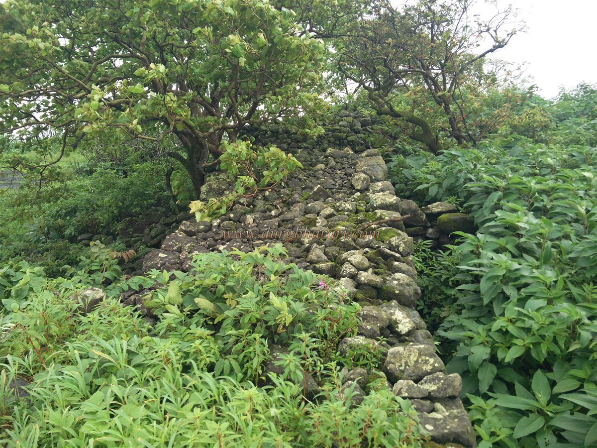
Those afraid of heights should avoid descending by the first path. On that path, after the second stage of ascent, the third stage passes a rock-cut cistern now filled with soil. Past this, a leftward trail takes you to the third stage, from where the fort plateau is visible, but to reach it you must descend, cross the gap, and climb the rampart. To protect this vulnerable approach, ramparts were built at both ends — now mostly ruined — making access easier.
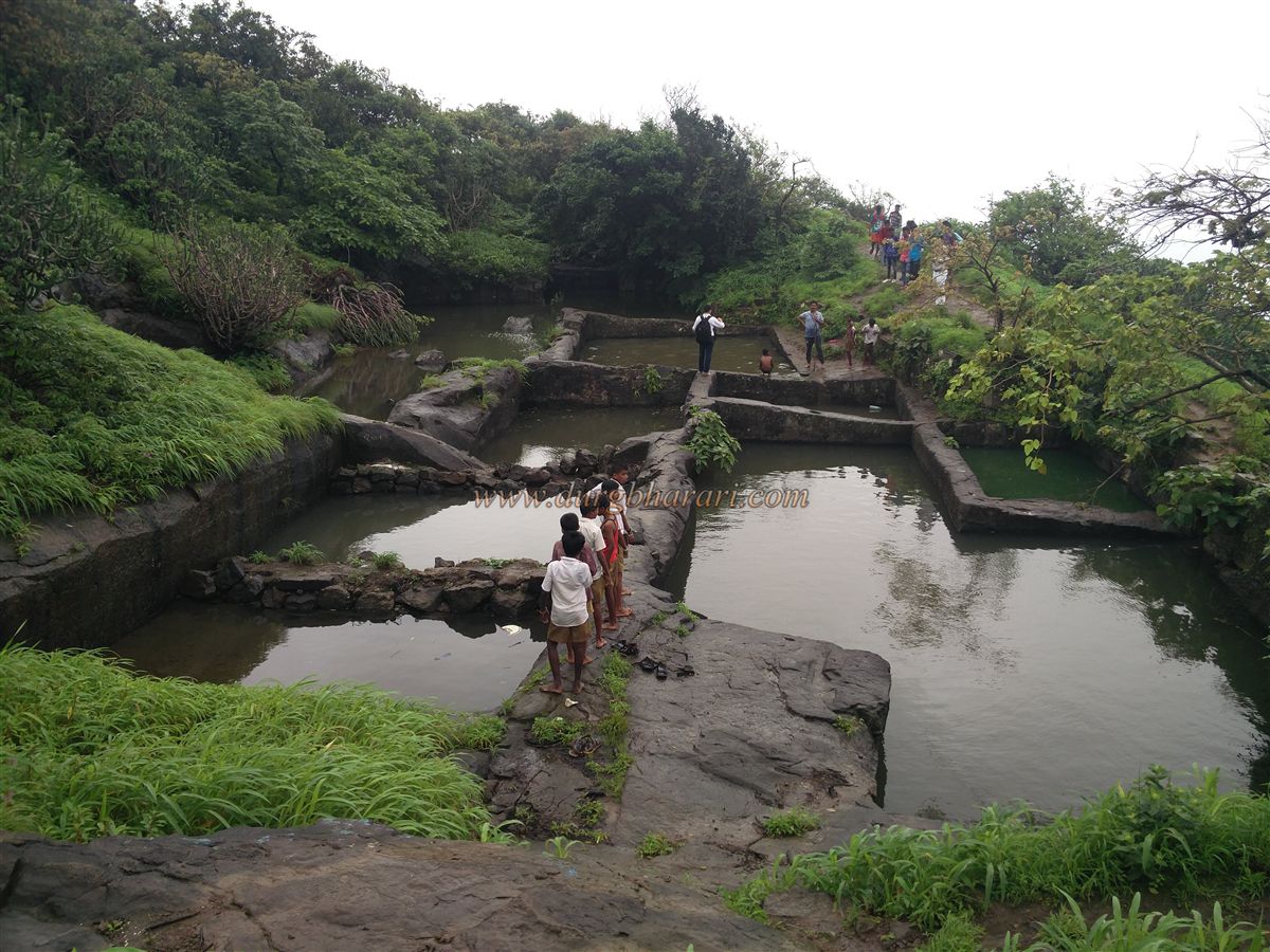
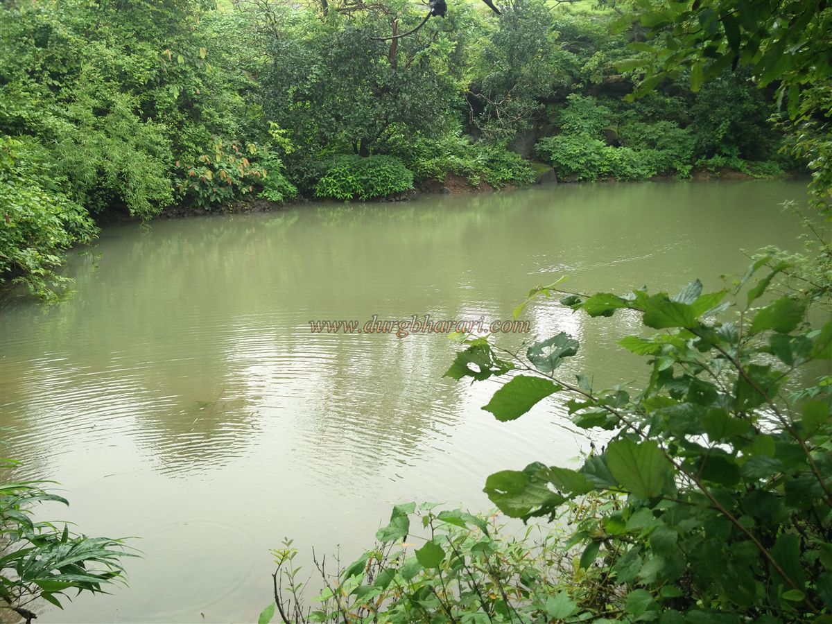
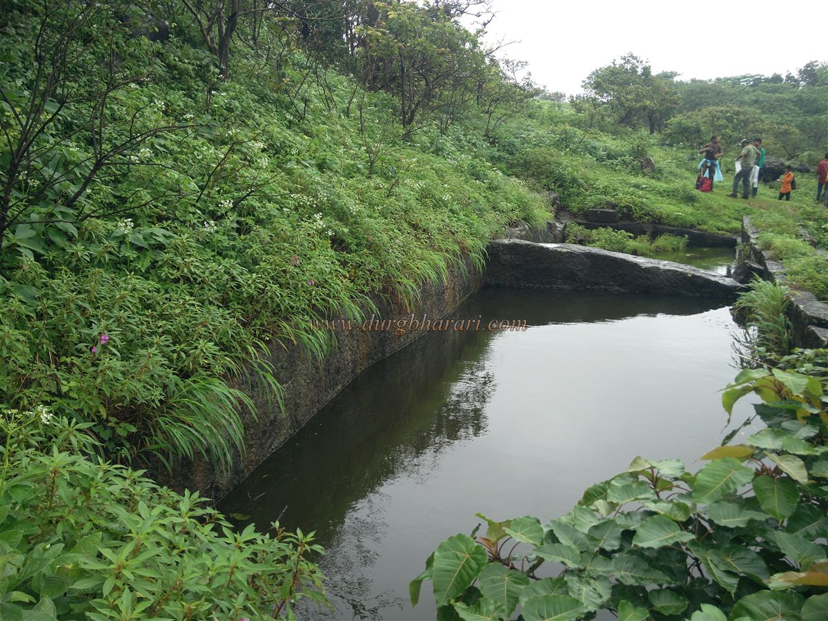
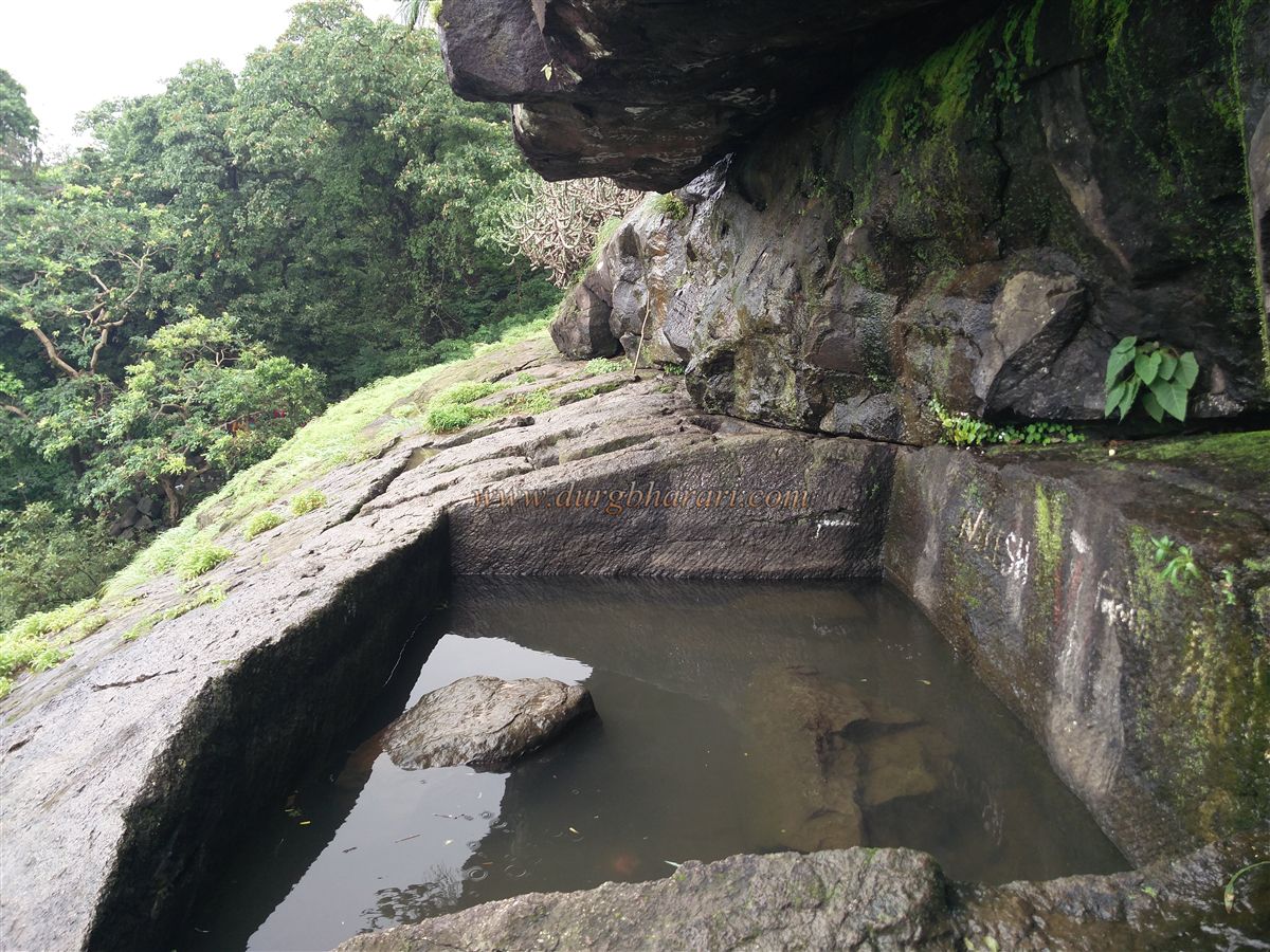
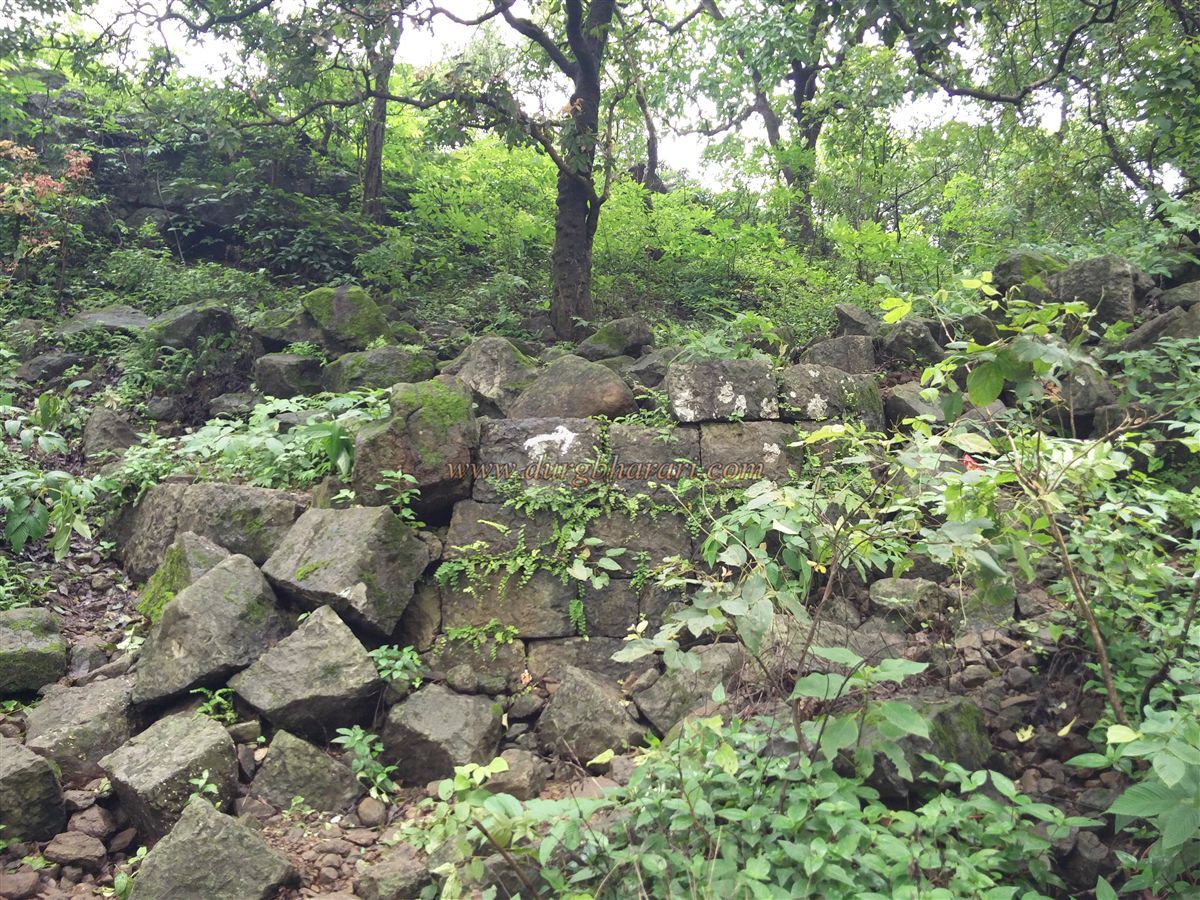
Inside, you find some remaining walls and a platform of an old structure. Moving ahead, there’s a group of eight rock-cut water cisterns, followed by a small pond. Beyond the pond, the path forks — straight ahead to the balekilla (citadel) and left towards the ramparts on the slope. This area has two more cisterns and ramparts 8–10 feet high. The path then rejoins the main route to the citadel.
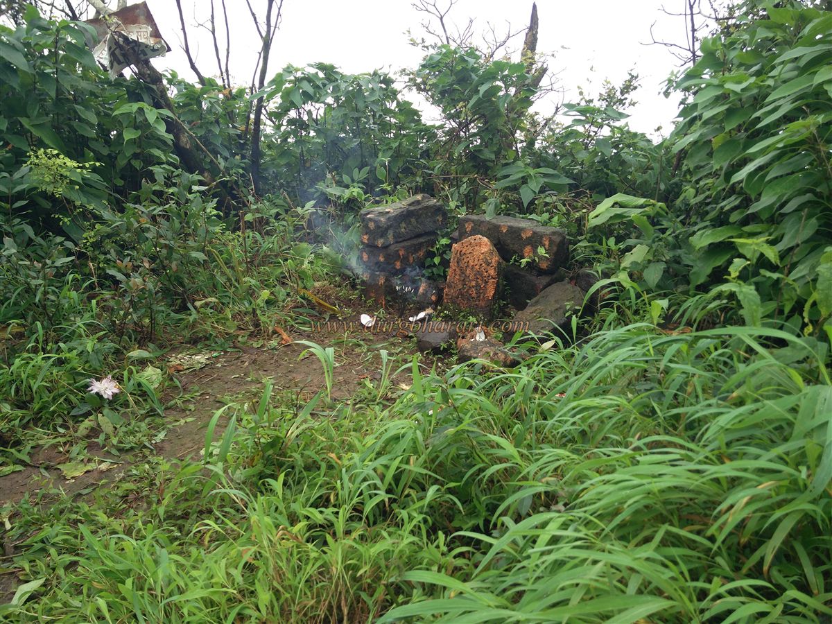
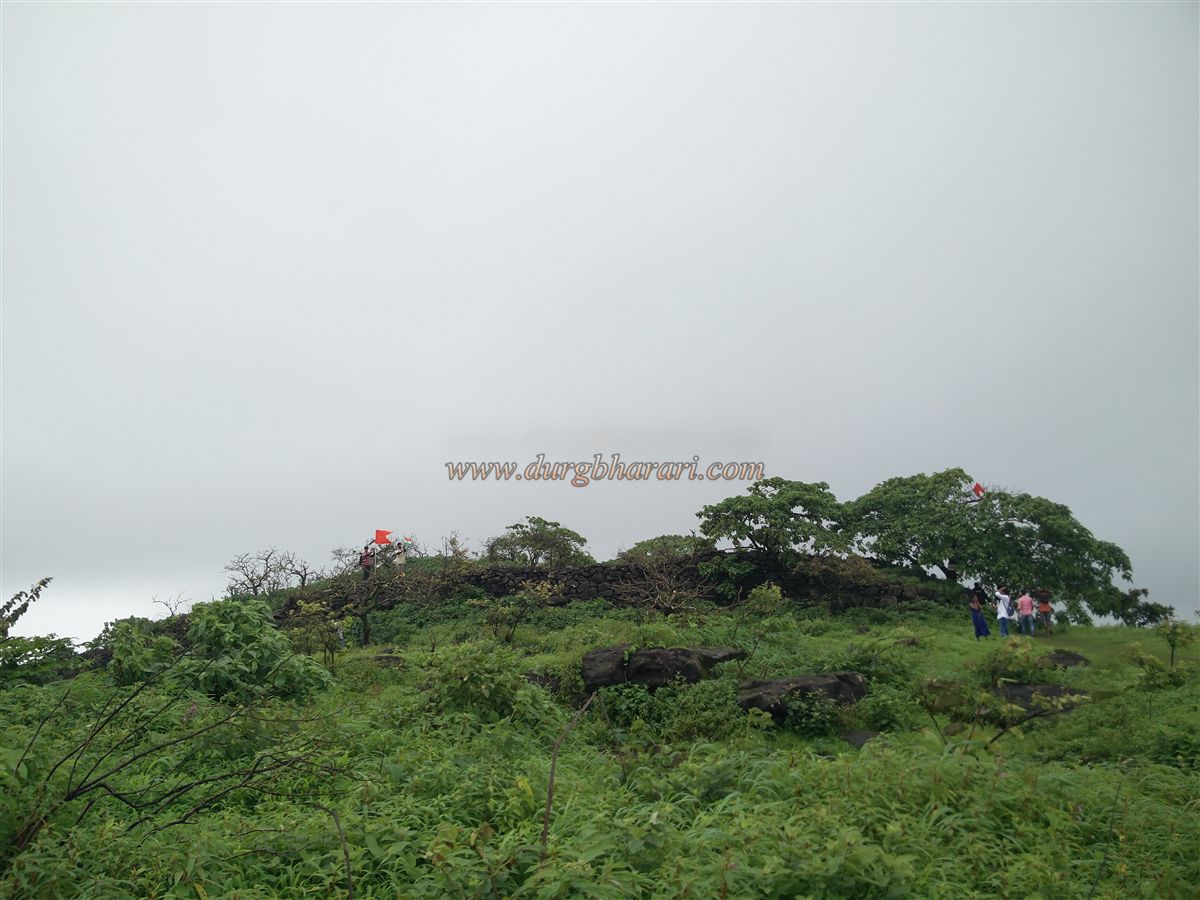
The citadel has 7–8 feet high rough stone walls with four corner bastions. Roughly square in shape, it covers about 15 Guntha and lies east–west. Inside, all structures are ruined; there’s a small square well, a stone idol smeared with vermilion, and thick overgrowth. The only eastern-facing entrance is now destroyed. From here, moving north, you find a partially dug tank on the cliff and two more cisterns outside the main gate.
Currently, the fort has 14 cisterns, 1 small square well, and 1 pond. From the top, you can see the confluence of the Surya and Vaitarna rivers and the surrounding landscape. A complete tour takes about an hour.
The fort’s exact date of construction is unknown, but the rock-cut cisterns suggest it has existed since ancient times. In the 13th century, Shurparaka (now Nalasopara) and Mahikavati (Kelve Mahim) were ruled by King Bhimdev. In 1454, the Sultan of Gujarat captured Mahikavati. Sultan Bahadur Shah of Gujarat appointed Malik Allauddin as the fort commander of Tandulwadi. Later, the Portuguese took control.
In 1737, during Chimaji Appa’s Vasai campaign, the fort was captured by Maratha commanders Vitthal Vishwanath and Awaji Kawade on 2 May 1737. Peshwa records note that Chimaji Appa sent 500 rupees on 8 May 1737 as rewards for the soldiers. In March 1738, Shankaraji Phadke wrote to Chimaji Appa that the fort had 60 cisterns and requested 5 masons for repairs. According to the Thane Gazetteer, Tandulwadi Fort is 16 km southeast of Kelve Mahim, situated on a hill 579 meters high.
© Suresh Nimbalkar
GALLERY