SURJAGAD-HILL FORT
TYPE : HILL FORT
DISTRICT : GADCHIROLI
HEIGHT : 2012 FEET
GRADE : VERY HARD
When we hear the name Gadchiroli, an image instantly comes to mind — a tribal and underdeveloped district plagued by Naxalism. Because of this, even though the region has countless attractions for tourism, visitors rarely turn their attention here. Not only that, even historians rarely step into this region, leaving its history largely unspoken. However, in recent years, development in this area has been progressing rapidly, and this changing picture is indeed satisfying. As tourists and researchers have begun to visit, many aspects of the region are coming to light.
In Etapalli taluka of Gadchiroli district lies a small village called Surjagad. Nestled within it is a hill fort of the same name. Blessed with natural beauty, lush green forests, and rich biodiversity, the village had long been blemished by Naxalism.
...
Although Naxalism has now ended here, a certain degree of fear still lingers in the minds of the locals. On two previous trips to visit the forts of Gadchiroli, the locals had refused to accompany us to the fort, preventing us from visiting it. On the third occasion, despite arriving on the wrong day, we managed to reach the base of the fort and saw the Bhuikot (ground fortification) at the foot of Surjagad Hill, which we accepted with satisfaction before returning. I have already described this Bhuikot on my website.
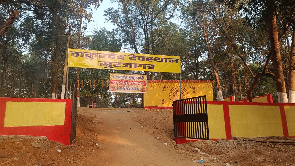
The locals had told us before that every year, in the first week of January, on the 5th and 6th, the annual Surjagad yatra (pilgrimage fair) is held — the principal festival of the tribal brethren of Gadchiroli district and the neighbouring districts. This festival is called the Surjagad yatra or the Thakurdev yatra. On only these two days do the locals go up to the fort; on no other day do they climb it. Therefore, even without a guide, one can go up with the people on these two days. Keeping these dates in mind, on January 4, 2025, we arrived at the foot of the fort.
The Surjagad fort is located in Etapalli taluka of Gadchiroli district, near the Maharashtra–Chhattisgarh border. If you plan to visit the fort, you must arrive at Surjagad village, located at its base, a day before. The distance from Gadchiroli to Surjagad village is 123 km, and from the taluka headquarters at Etapalli to Surjagad is 26 km. Apart from the government rest house in Etapalli, there are no lodging facilities. Public transportation is also not very convenient here, so it is advisable to travel during the day in a private vehicle.
Between Etapalli and Hedri there are scattered human settlements, but from Hedri to Surjagad village there are none. Just before Surjagad village, on the left side of the road, lies the Thakurdev temple, where the annual fair is held. Directly opposite this temple is the Surjagad Bhuikot. A path behind the temple leads to the fort. It takes about 2 to 2.5 hours to climb to the fort from this path.
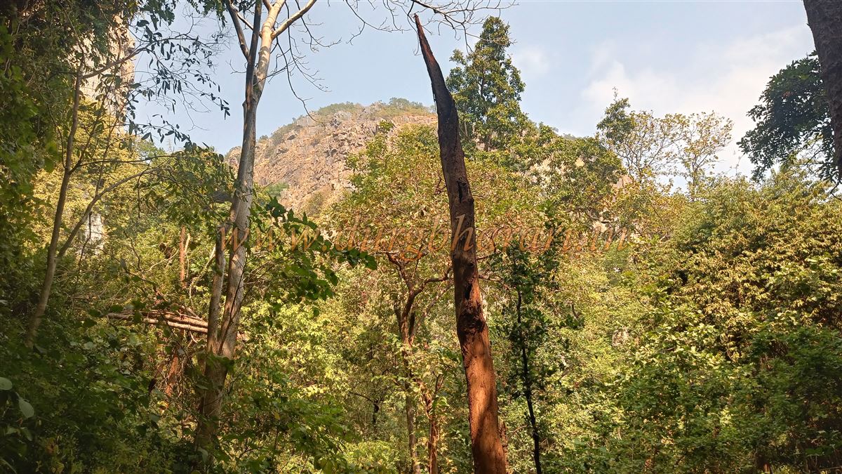
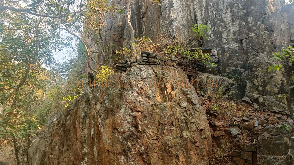
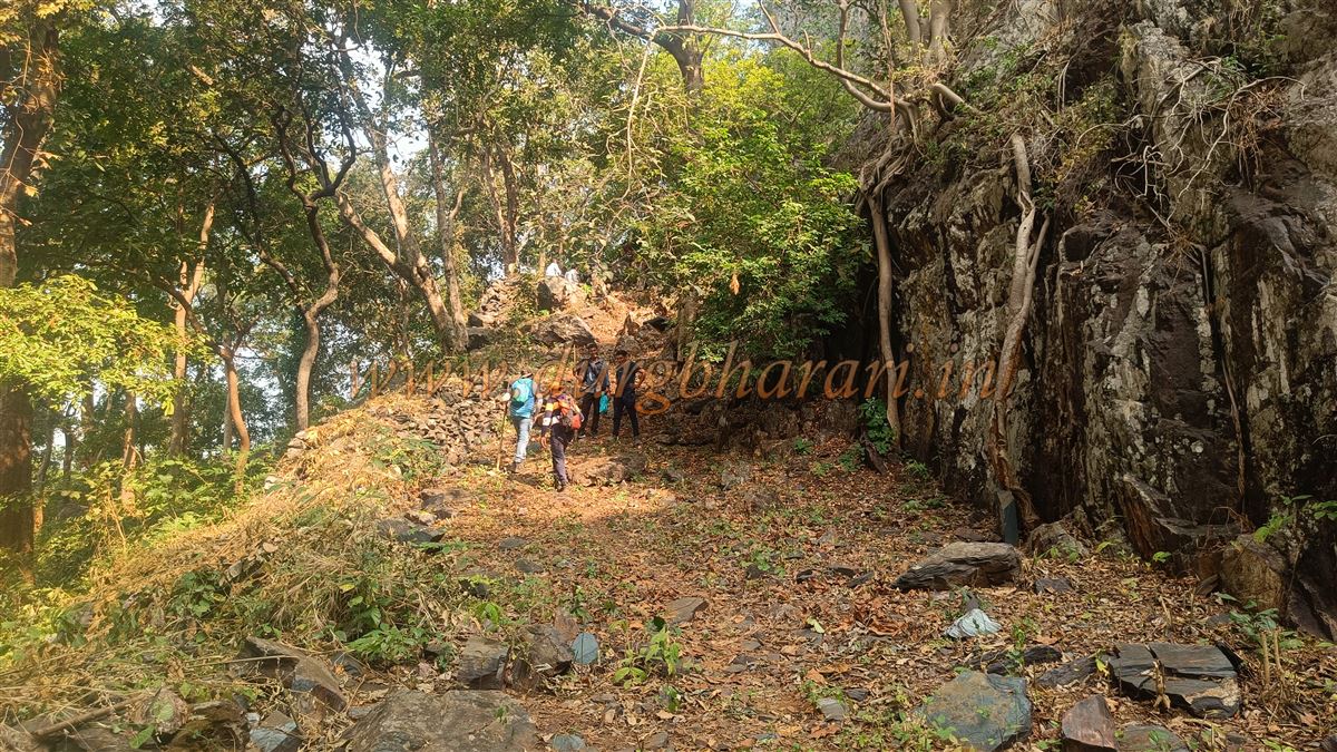
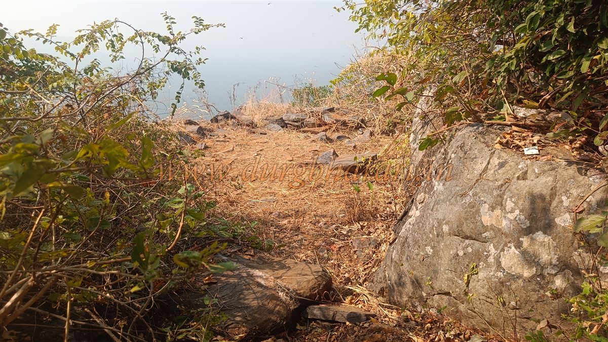
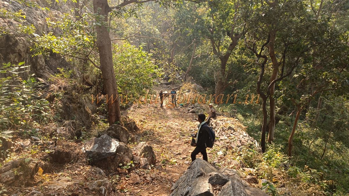
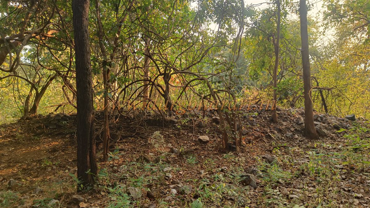
Before describing the fort, I should note that Surjagad is not merely the peak of a single hill; rather, it is spread over three separate hills, which we will encounter in sequence as we climb. From behind the temple, one walks about 2 km through dense forest along a well-trodden path to reach the foot of Surjagad Hill. About 15 minutes into the climb, one arrives at a stone fortification on the slope, entering the fort through a ruined gate. Today, only a pile of stones remains, suggesting that a gate once stood there. This roughly built stone wall, 6–7 feet high, extends to the cliff edge.
Some people, out of devotion, remove their footwear here before ascending further, but it is not mandatory, as many go all the way to the top wearing shoes. After entering through this gate, the real ascent begins — a steep climb of about 45 minutes brings you to a valley between two hills, and from there, another 15-minute climb leads to a pass between them.
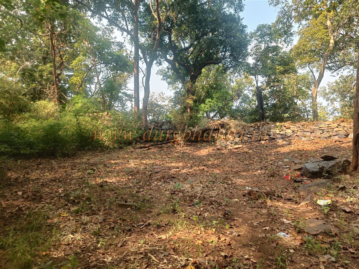
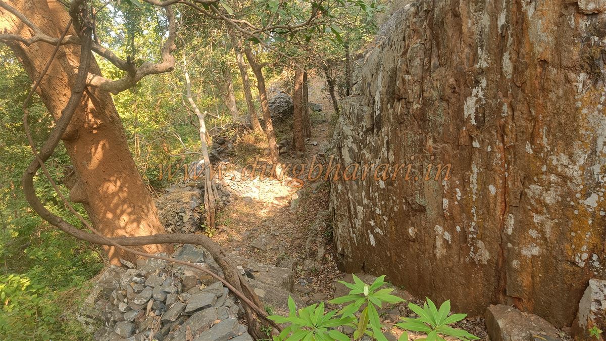
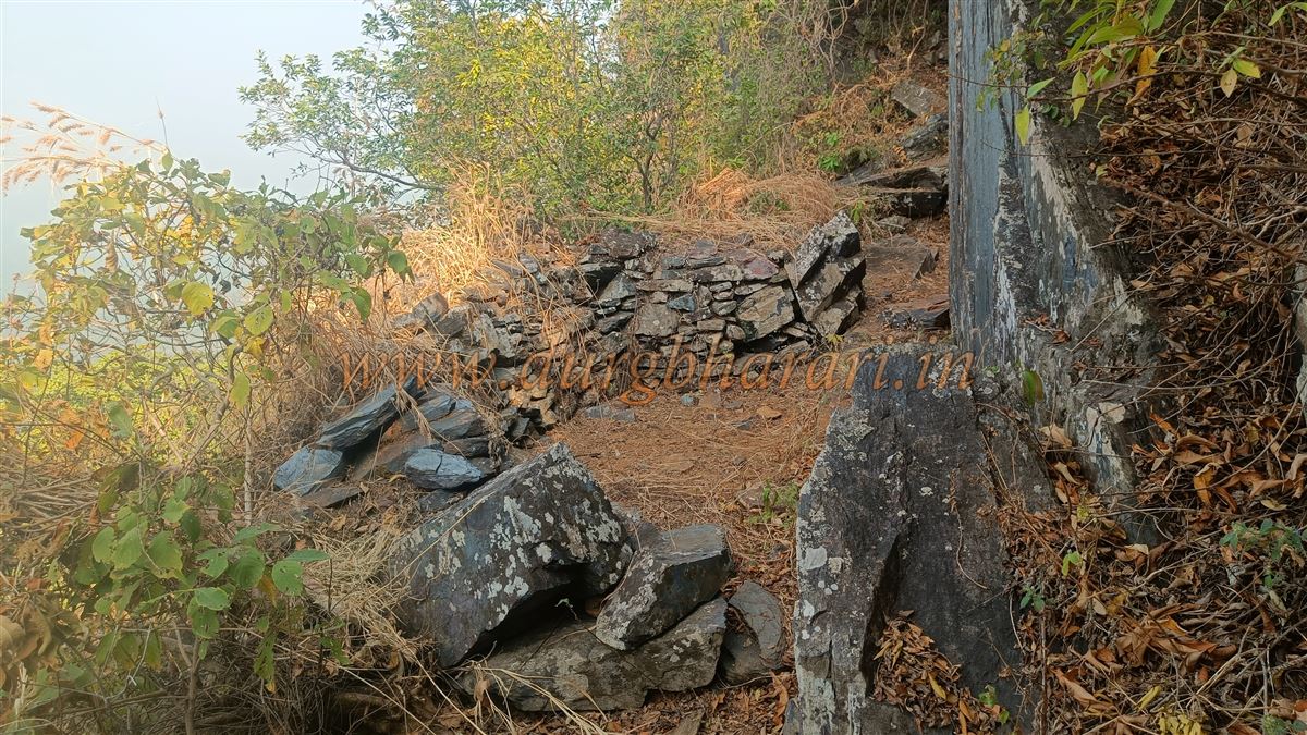
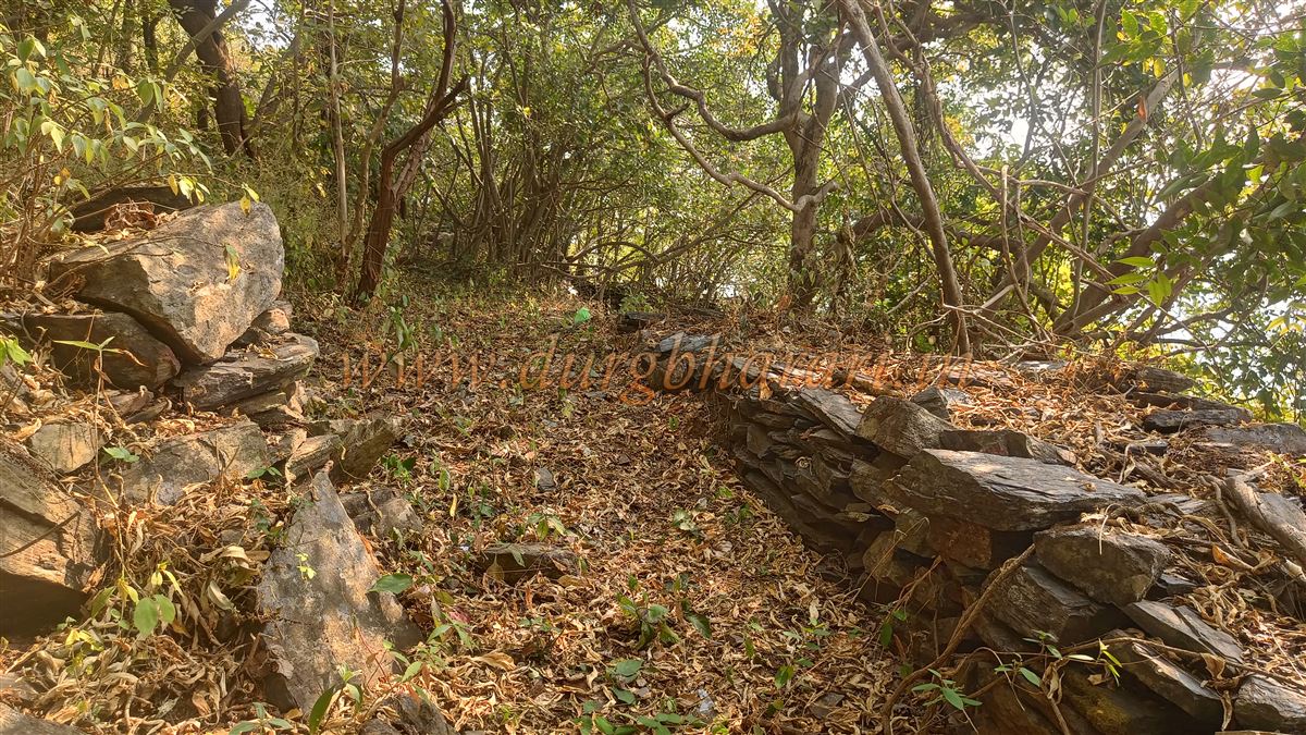
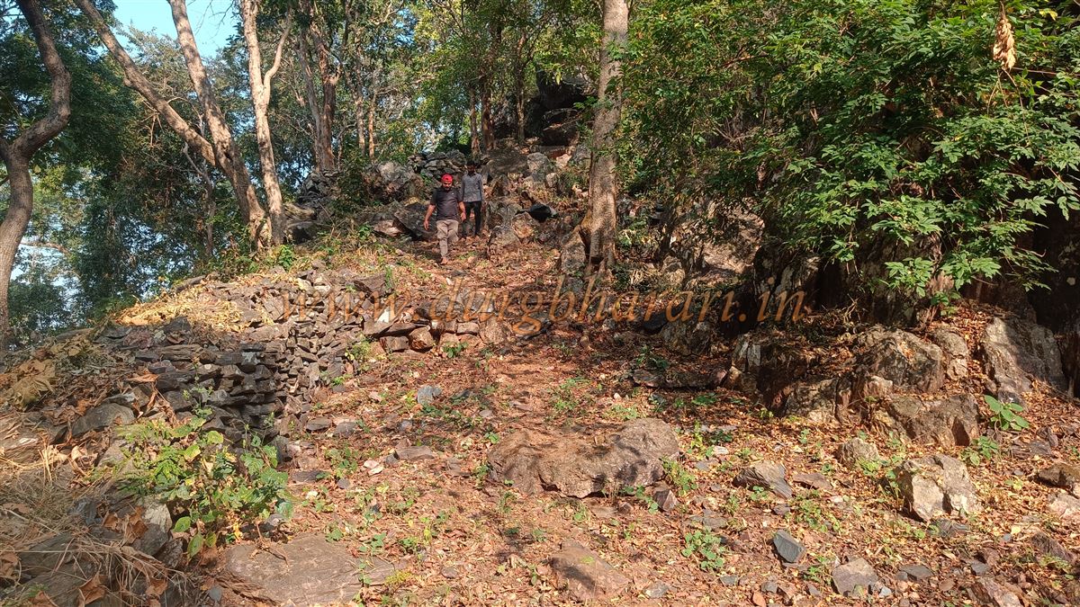
This pass is completely enclosed by a 5–7-foot-high stone wall, with two ruined gates — one encountered while coming up, and another leading further inside. Here, one can still see portions of the wall and bastion remains. Two large drums (Nagara) were once kept here for signalling, but they are now housed in the Thakurdev temple at the base. From this pass, the route to the fort is not overly difficult but not easy either. Locals usually climb carrying goats or chickens for sacrificial rituals.
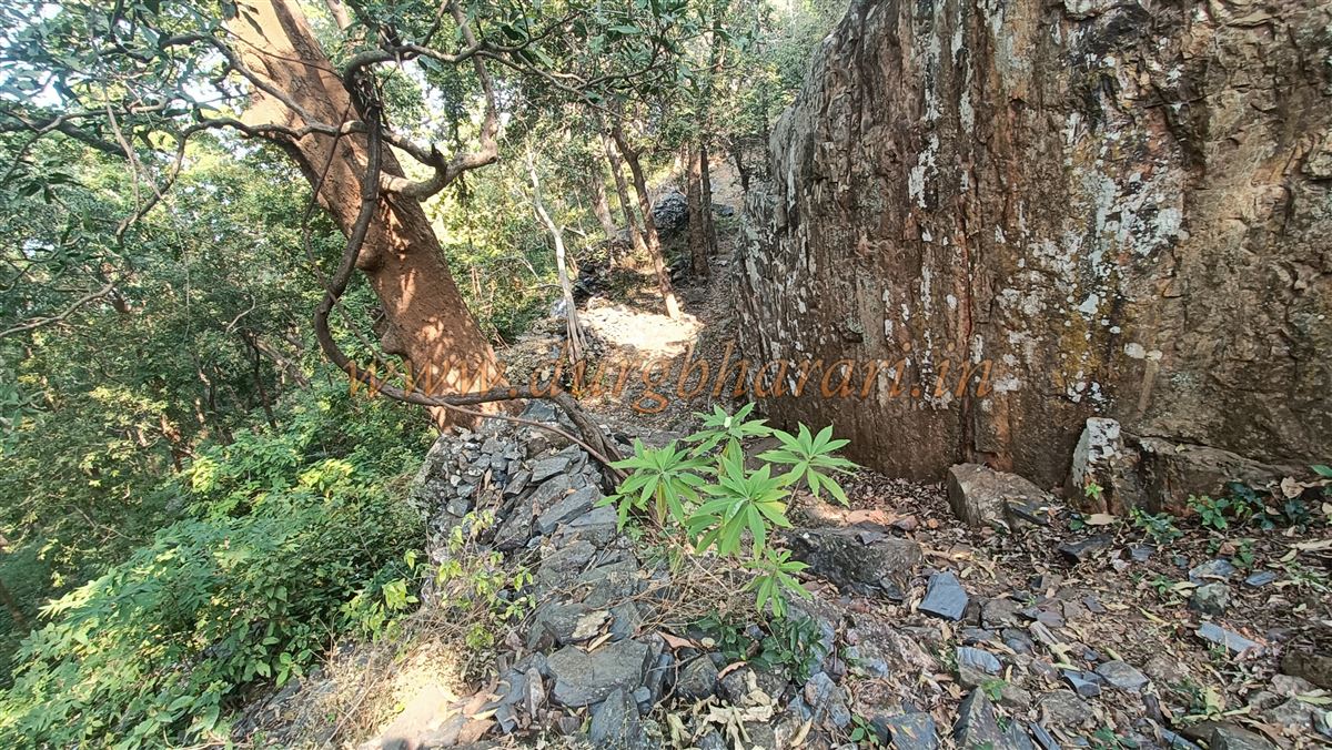
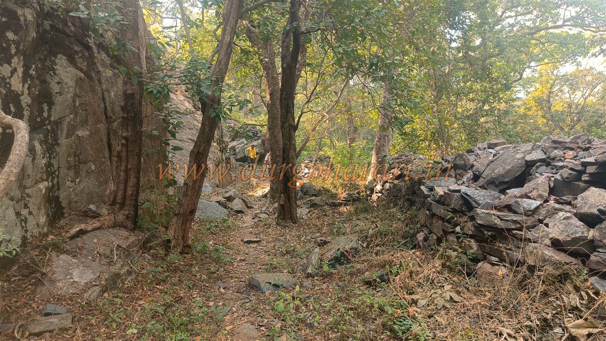
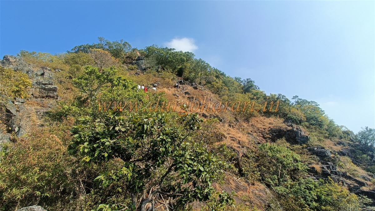
A path to the right from the pass leads to the second hilltop portion of the fort. On its left, along the cliff edge, runs a fortification wall; on the right lies the fort hill. Along this sloping path, there is a small bastion through which the path continues toward the summit. The route passes over rock slabs, some slippery in places, prompting locals to advise removing footwear here for safety, though it’s still optional.
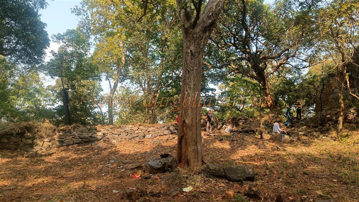
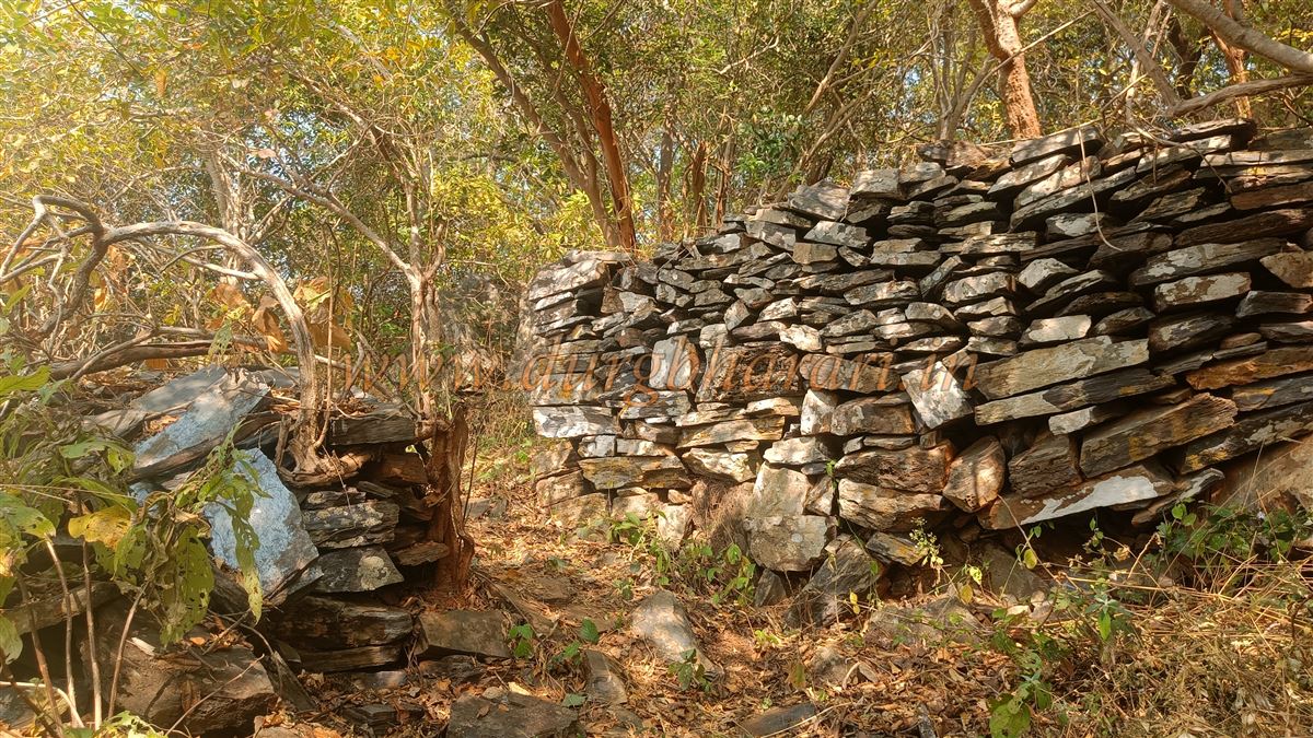
After climbing this rocky stretch, the third hill of the fort comes into view, with two well-built bastions on top — this is essentially the balekilla (citadel) of Surjagad. The path up is a bit slippery, so one must climb carefully. In about 10 minutes, you reach the citadel through a gate between two square bastions. Though the arch is gone, the stone frame remains intact. A circular bastion on the left corner overlooks the approach path and the surrounding area.
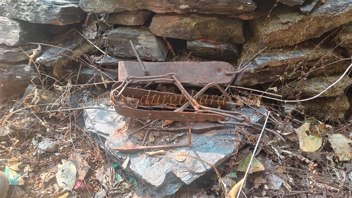
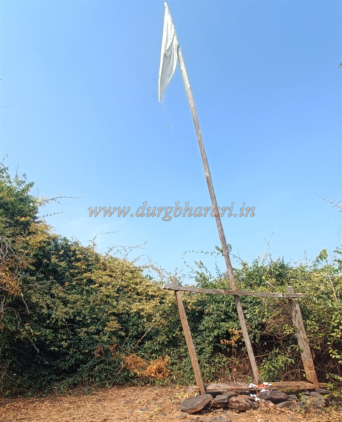
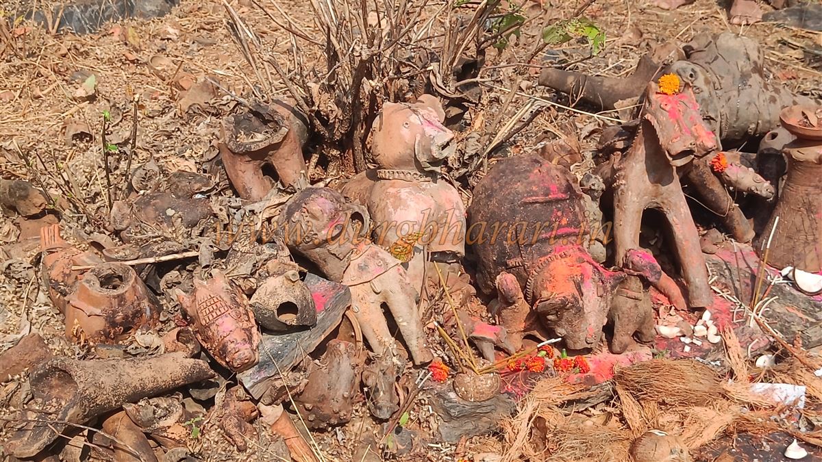
Beside this wall lie chains, bolts, hinges, nails, and other iron fittings that once belonged to the fort’s wooden doors. Climbing further, you reach the upper section of the fort, where there is a platform with a wooden frame holding a flagpole, from which a white flag flies. Around the platform are crude idols, to which devotees offer clay horses and other items as vows.
This is not the fort’s absolute peak, but the dense vegetation blocks further paths and obscures views. The altitude here is 2,012 feet above sea level. There is no visible water source, though locals say there is a reservoir on the slope to the left after entering the citadel, though the path to it no longer exists. It takes about three hours to reach this part from the base. The round trip to the fort takes about six hours.
Gadchiroli lies on the banks of the Wainganga River, considered the lifeline of Vidarbha. The Kautilya’s Arthashastra of Chanakya mentions the diamond mines and elephants for which the Vairagad region — of which Gadchiroli was once a part — was famous.
Because it lies beyond the Wainganga, this region was once under the Maurya, Satavahana, Kalchuri, Rashtrakut, and later Kakatiya dynasties of South Kosala (Chhattisgarh). The Kalchuri rulers built the Markanda temple complex on the Wainganga’s banks, a testament to the area’s prosperity. The Ain-a-Akbari of Emperor Akbar records that elephants were found here.
The Cholas of Tamil Nadu, the Adilshahi of Bijapur, and the Yadavas of Devgiri also attacked this region for its wealth. Later, it became part of the Gond-ruled Vairagad province under the Nagavanshi Manas, and later the Gond kingdom of Chandrapur. Between 1447 and 1472, Gond king Surja Ballal Shah’s list of 52 parganas included Gadchiroli.
The exact construction period of Surjagad Fort is unknown, but locals believe it was built by King Surjat Badwaik, who came to power after Mana ruler Kurum Prahod. Since it was completed during his reign, it was named after him.
It is believed that the name Gadchiroli comes from the Chiroli hills in this far eastern part of Maharashtra. On April 20, 1795, British officer Captain J.T. Blunt, tasked with mapping a route from Orissa–Chhattisgarh–Gondwana to South India, arrived in Gadchiroli from Kanker (Chhattisgarh) after staying in Vairagad. He described the village as a large hamlet called Chiroli-gad with some trade. He wrote that the area to the left of Chiroli-gad toward Baster was extremely dangerous, inhabited by extremely backward tribal who practiced human sacrifice, and that apart from the Vanjari traders supplying salt and grain, no one dared travel here for fear of their lives.
Locals also say that in the 18th century, Baburao Shedmake, the first revolutionary freedom fighter of Vidarbha, stayed in this fort for some time.
© Suresh Nimbalkar
GALLERY