SUBAPUR
TYPE : HILL FORT
DISTRICT : BELGAON
HEIGHT : 2720 FEET
GRADE : MEDIUM
Chhatrapati Shivaji Maharaj and forts share an inseparable bond, which becomes evident even during explorations of the southern territories. After his coronation, during his southern campaign, Maharaj expanded the Maratha Empire as far as the Tungabhadra and Kaveri rivers. His aim was not merely expansion, but also ensuring that the newly gained territories remained secure. To achieve this, he repaired many existing forts in the region and even constructed new ones. Thus, in the southern provinces too, one can see the contribution of the Marathas in fort-building.
When Maharaj annexed the southern territories previously under Adilshahi control, he undertook repairs of hill forts such as Parasgad and constructed new forts like Manoli, Hubali, Haliyal, as well as hill forts such as Nargund and Subapur. During the reorganization of states along linguistic lines, Belagavi—a Marathi-speaking multi-lingual region that was part of Swarajya—was incorporated into Karnataka.
...
Even today, in Subapur village at the base of the fort, many households bear Marathi surnames and continue to speak Marathi in large numbers. Though these forts are now outside Maharashtra, I consider them forts of Maharashtra because they were once an integral part of Swarajya.
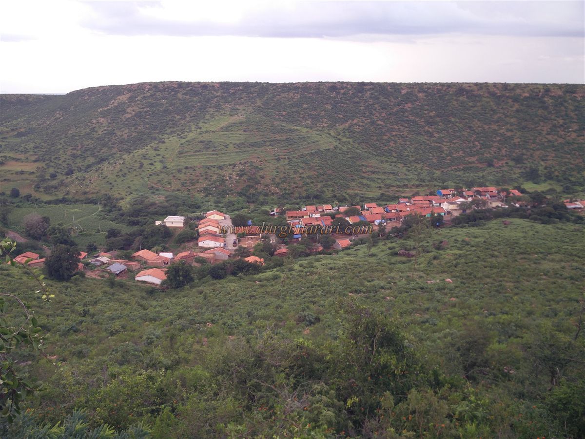
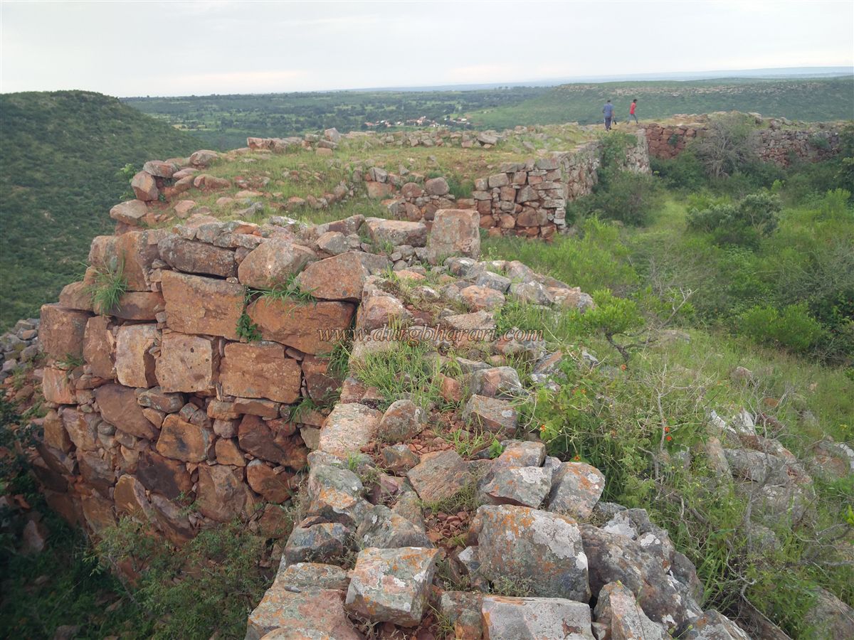
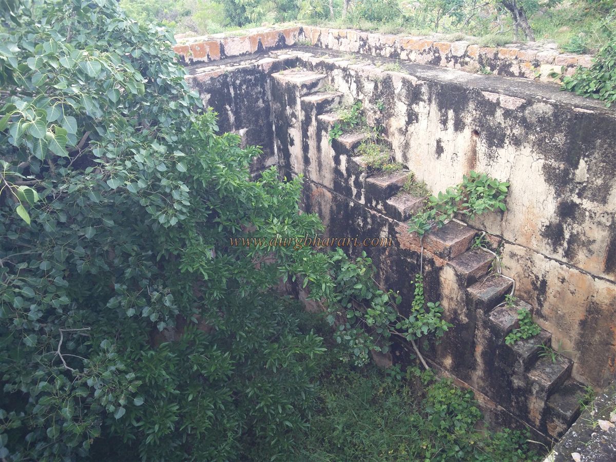
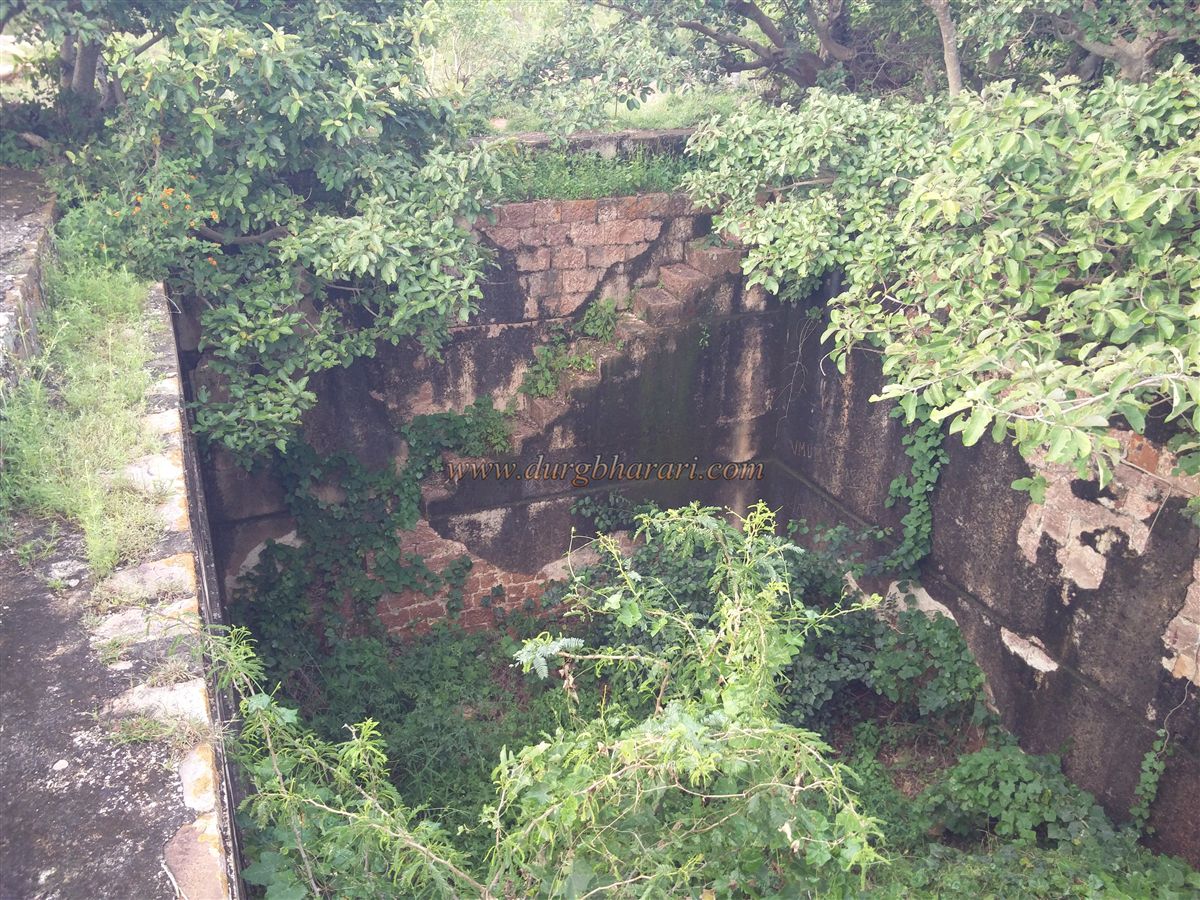
Subapur is a hill fort in Saundatti taluka of Belagavi district, located 60 km from Belagavi and 36 km from Saundatti. It is situated on a hillock about 150 feet high, spreading north to south behind the village. From the village, a well-worn path leads in about half an hour to the north-facing entrance of the fort, built between two bastions. The arched gateway has been completely destroyed. Upon entering the fort, one immediately notices a stone-built raised platform amidst dense vegetation, which upon closer inspection turns out to be a deep square-shaped water cistern with steps leading down into it.
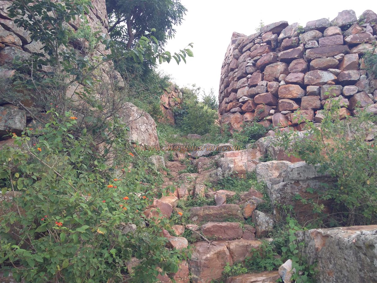
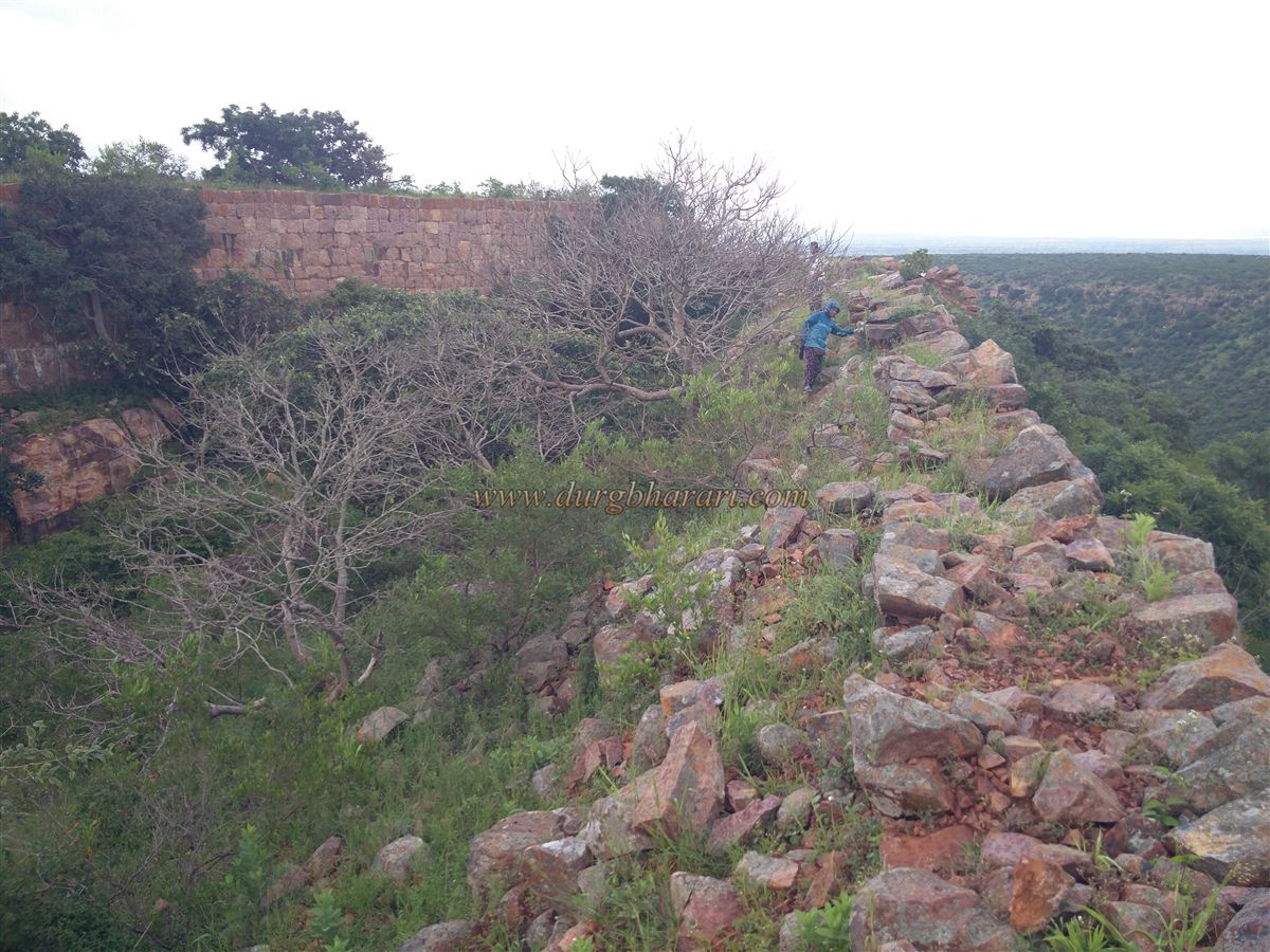
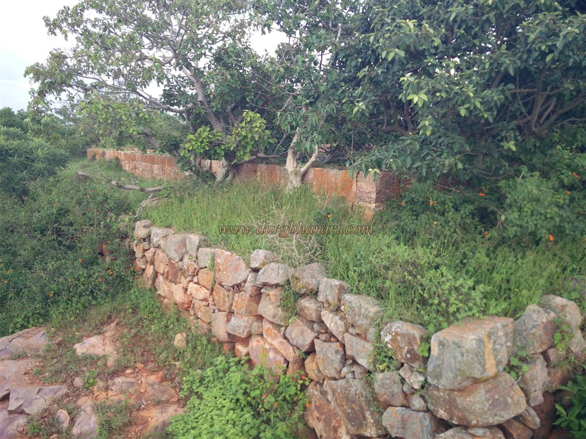
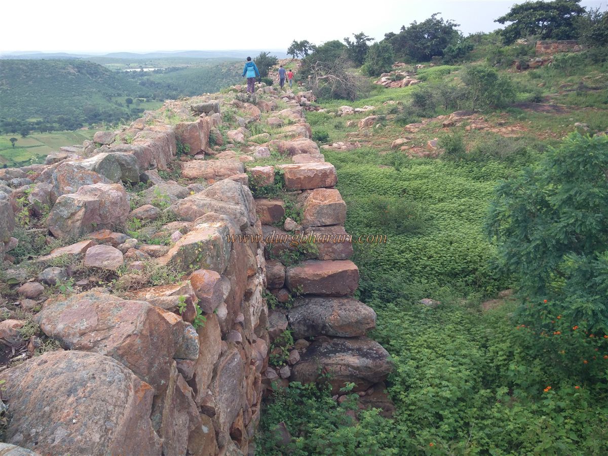
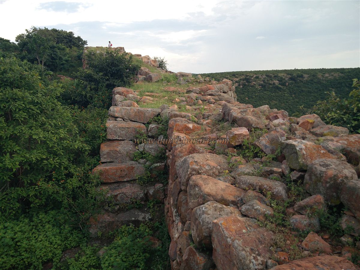
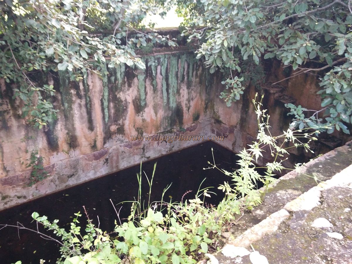
Returning to the gate and starting along the fort walls on the left leads to a circuit walk. The fort, at an altitude of 2,720 feet above sea level, is rectangular in shape and spreads over 12 acres. Its fortification walls remain largely intact, allowing a complete circuit walk along the ramparts. Moving further along, to the right lies a pair of water tanks. Beyond these tanks are the ruins of the killedar’s (fort commander’s) mansion. Continuing along the ramparts leads to the southern tip of the fort, but before reaching it, on the right lies another water tank—this one a large 40x40 ft square reservoir.
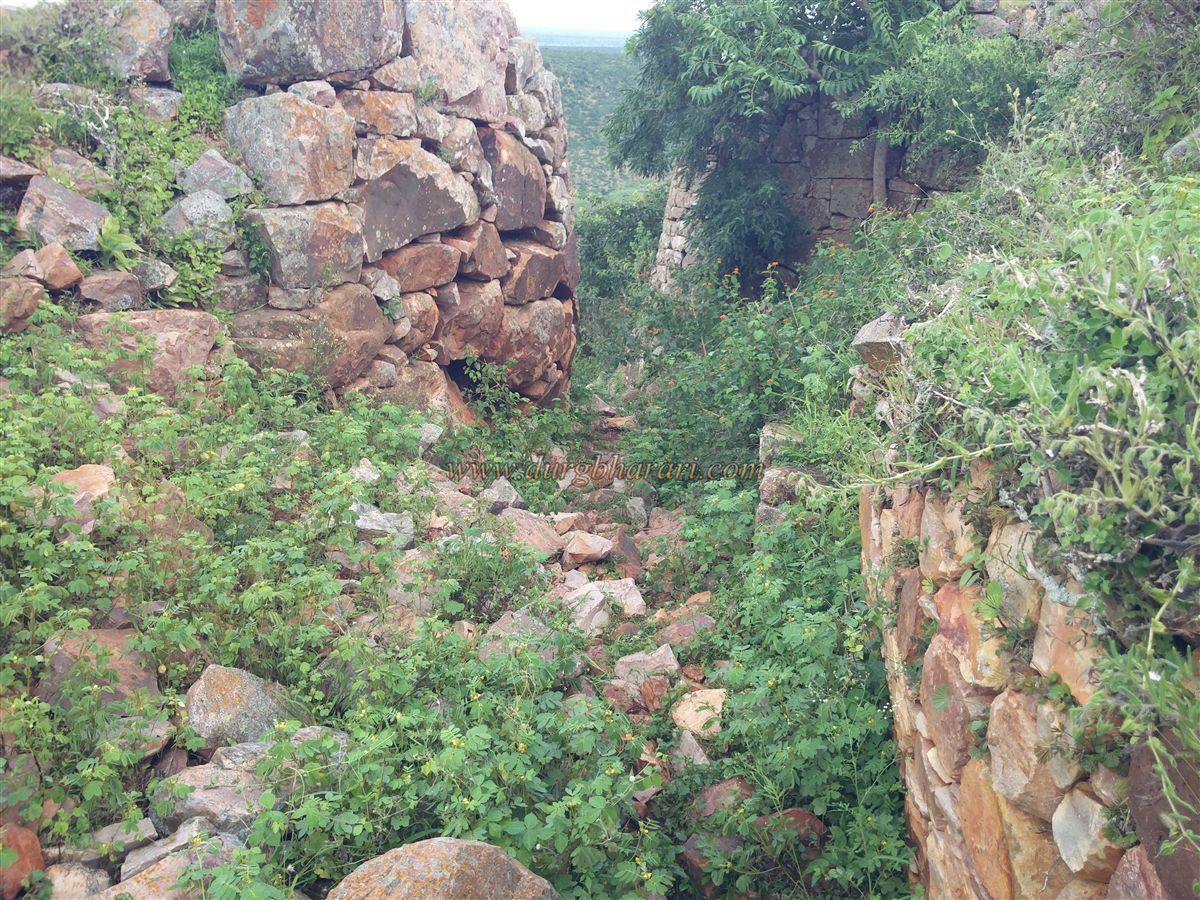
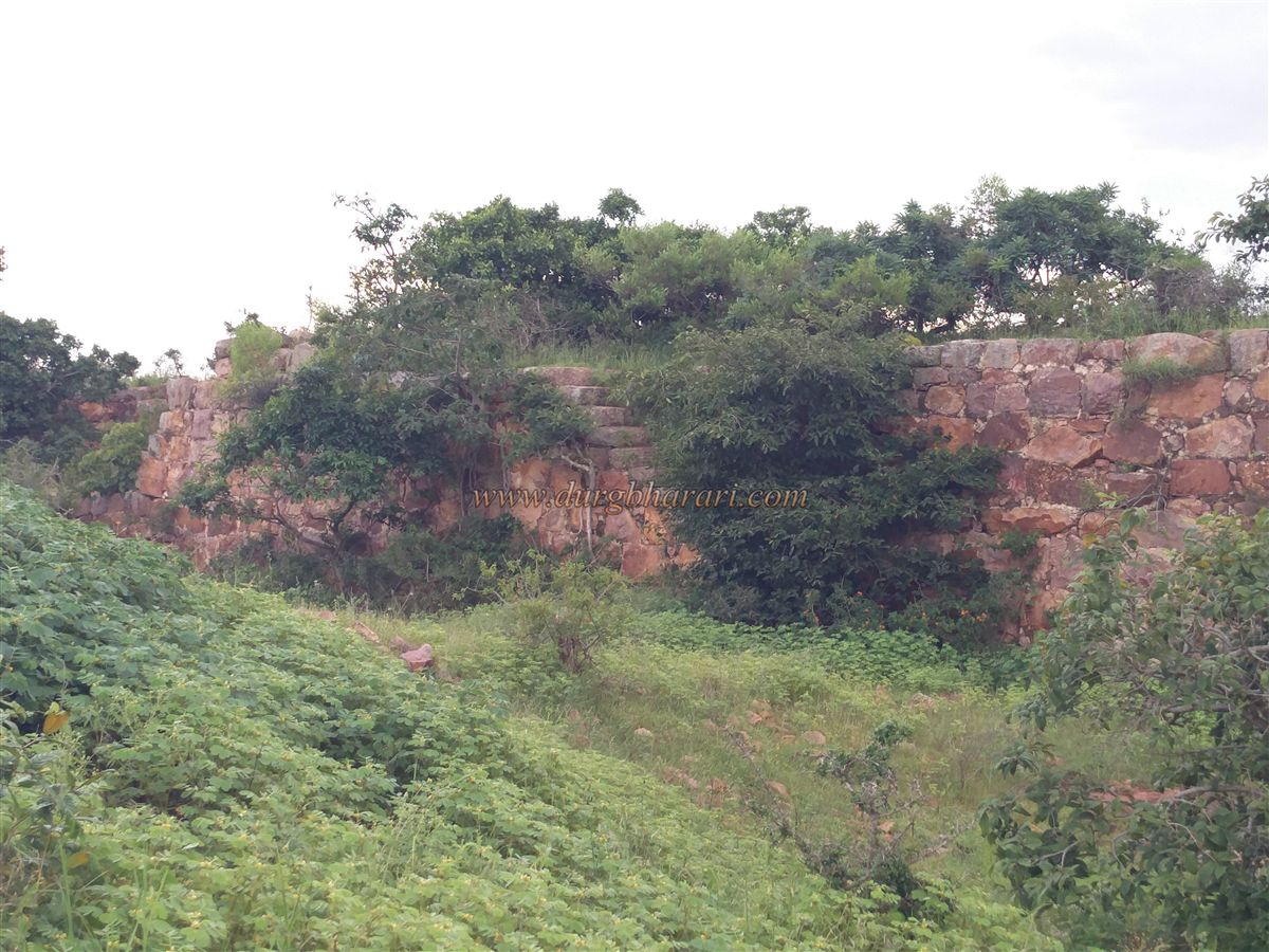
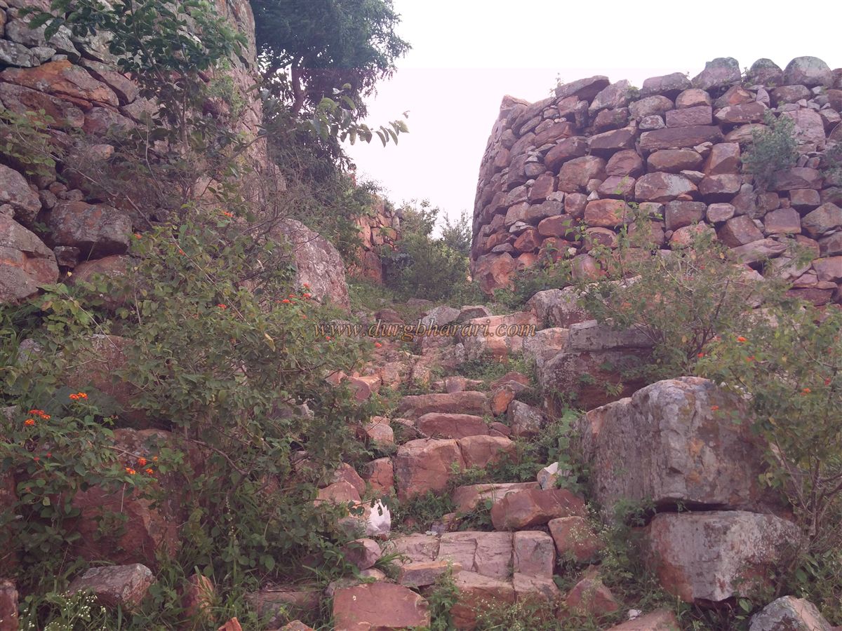
At the southern end of the fort is a second gate, cleverly concealed between two bastions. This southern section features a double line of fortification: the inner wall has two bastions, while the outer wall has three. The outer walls are built with roughly dressed stone, while the inner fortification uses well-dressed stone bonded with lime mortar. In the central bastion of the inner wall is a small passage leading out to the outer fortification. Nearby, a ruined structure stands on a raised platform.
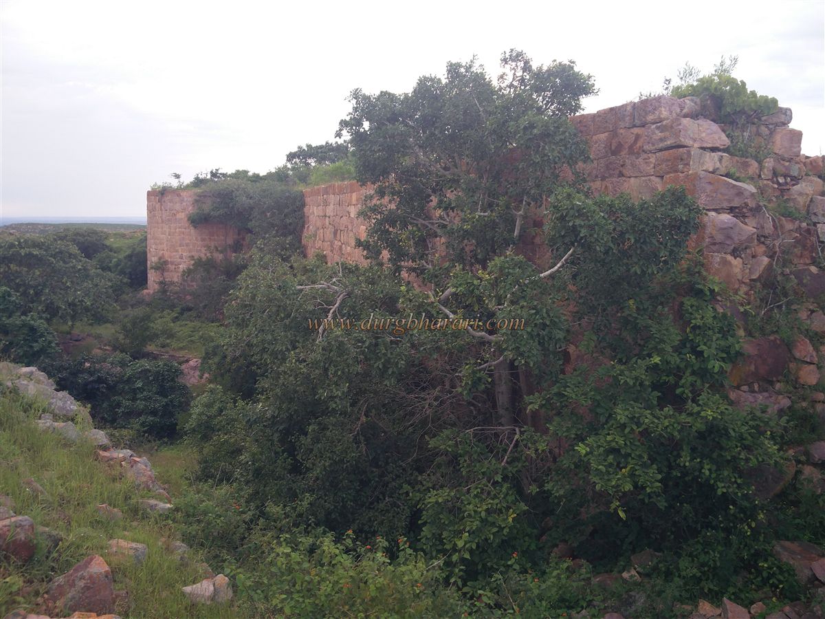
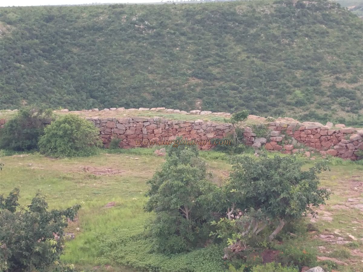
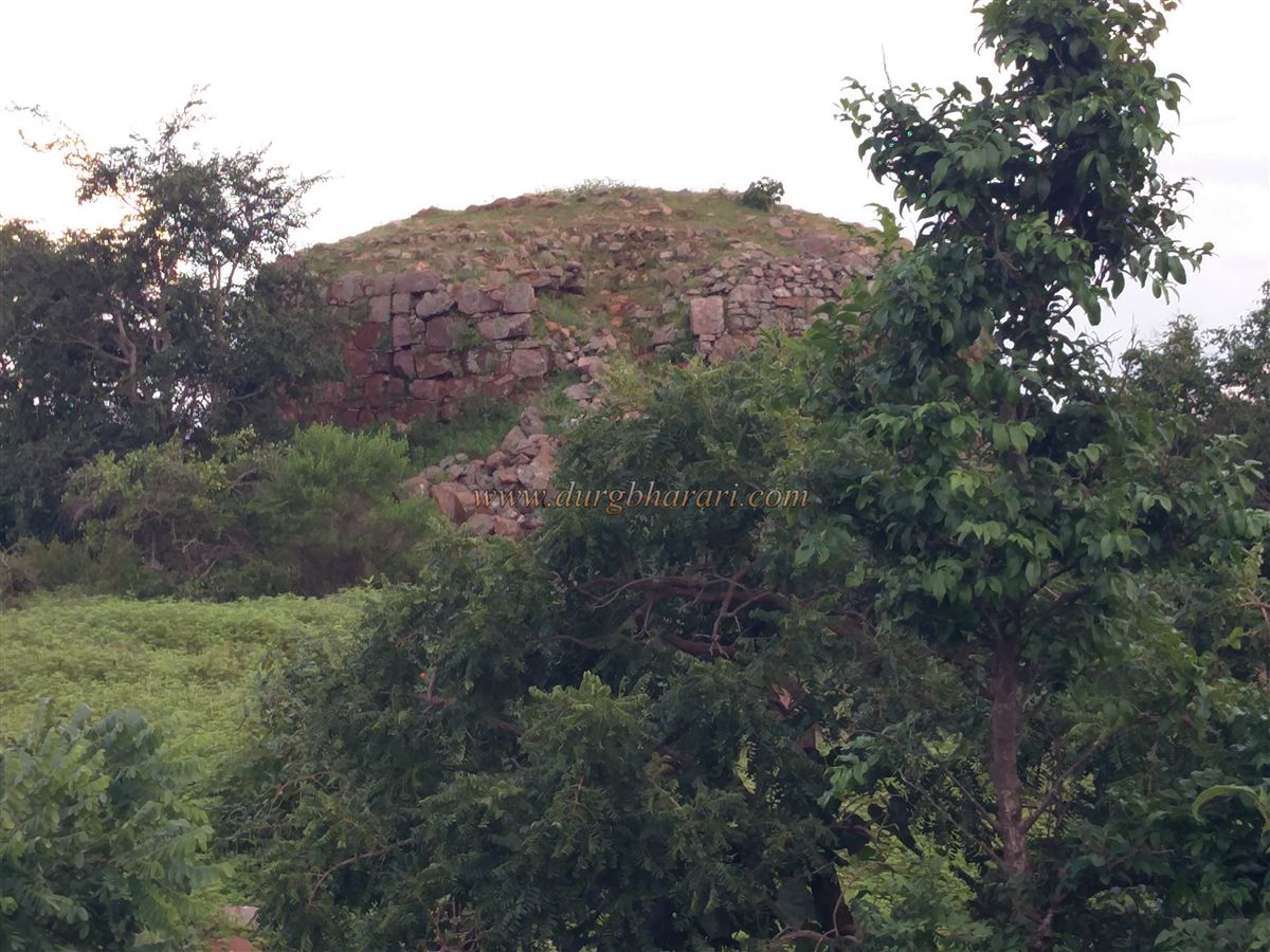
Turning northward from the southern bastions, on the right, one notices a detached bastion built within the interior of the fort. This bastion appears to have been designed for surveillance, offering a clear view of the entire fort interior. Near this bastion are the remnants of two small structures with partially surviving walls. Proceeding further along the ramparts, another 40x40 ft water tank lies close to the wall. The ramparts feature steps at various points to aid movement. Beyond two more bastions lies the fifth water tank. To the west of this tank, amidst some thickets, stands a large square well. Nearby are the ruins of the killedar’s mansion seen earlier. Returning to the gateway completes the circuit, which takes roughly an hour to cover entirely.
The fort’s outer fortification consists of 15 bastions, the double wall section has 2, and there is 1 bastion in the central area—making a total of 18 bastions. In all, there are six water reservoirs on the fort, four of which still hold water, though none of it is potable. Therefore, visitors must carry their own drinking water when climbing the fort.
The history of Subapur Fort begins in 1675 CE with Chhatrapati Shivaji Maharaj. During his southern campaign, when Maharaj annexed this region, the local Desai rulers allied themselves with him. Records from the Desai family at Chachadi indicate that the construction of this hill fort was undertaken by Shivaji Maharaj with assistance from Chachadi. However, the later history of this fort is not documented in the sources I have encountered. Today, the fort is known by the name of the village, Subapur, but it likely had a different original name, which remains unidentified due to lack of references.
Even today, in Subapur village at the base of the fort, many households bear Marathi surnames and continue to speak Marathi in large numbers. Though these forts are now outside Maharashtra, I consider them forts of Maharashtra because they were once an integral part of Swarajya.
Subapur is a hill fort in Saundatti taluka of Belagavi district, located 60 km from Belagavi and 36 km from Saundatti. It is situated on a hillock about 150 feet high, spreading north to south behind the village. From the village, a well-worn path leads in about half an hour to the north-facing entrance of the fort, built between two bastions. The arched gateway has been completely destroyed. Upon entering the fort, one immediately notices a stone-built raised platform amidst dense vegetation, which upon closer inspection turns out to be a deep square-shaped water cistern with steps leading down into it.
Returning to the gate and starting along the fort walls on the left leads to a circuit walk. The fort, at an altitude of 2,720 feet above sea level, is rectangular in shape and spreads over 12 acres. Its fortification walls remain largely intact, allowing a complete circuit walk along the ramparts. Moving further along, to the right lies a pair of water tanks. Beyond these tanks are the ruins of the killedar’s (fort commander’s) mansion. Continuing along the ramparts leads to the southern tip of the fort, but before reaching it, on the right lies another water tank—this one a large 40x40 ft square reservoir.
At the southern end of the fort is a second gate, cleverly concealed between two bastions. This southern section features a double line of fortification: the inner wall has two bastions, while the outer wall has three. The outer walls are built with roughly dressed stone, while the inner fortification uses well-dressed stone bonded with lime mortar. In the central bastion of the inner wall is a small passage leading out to the outer fortification. Nearby, a ruined structure stands on a raised platform.
Turning northward from the southern bastions, on the right, one notices a detached bastion built within the interior of the fort. This bastion appears to have been designed for surveillance, offering a clear view of the entire fort interior. Near this bastion are the remnants of two small structures with partially surviving walls. Proceeding further along the ramparts, another 40x40 ft water tank lies close to the wall. The ramparts feature steps at various points to aid movement. Beyond two more bastions lies the fifth water tank. To the west of this tank, amidst some thickets, stands a large square well. Nearby are the ruins of the killedar’s mansion seen earlier. Returning to the gateway completes the circuit, which takes roughly an hour to cover entirely.
The fort’s outer fortification consists of 15 bastions, the double wall section has 2, and there is 1 bastion in the central area—making a total of 18 bastions. In all, there are six water reservoirs on the fort, four of which still hold water, though none of it is potable. Therefore, visitors must carry their own drinking water when climbing the fort.
The history of Subapur Fort begins in 1675 CE with Chhatrapati Shivaji Maharaj. During his southern campaign, when Maharaj annexed this region, the local Desai rulers allied themselves with him. Records from the Desai family at Chachadi indicate that the construction of this hill fort was undertaken by Shivaji Maharaj with assistance from Chachadi. However, the later history of this fort is not documented in the sources I have encountered. Today, the fort is known by the name of the village, Subapur, but it likely had a different original name, which remains unidentified due to lack of references.
© Suresh Nimbalkar
GALLERY