SONGIR
TYPE : HILL FORT
DISTRICT : NASHIK
HEIGHT : 1890 FEET
GRADE : MEDIUM
There are a total of four forts in Maharashtra known by the name Songir or Songir. The first is the Songir Fort in Dhule, the second is Mirgad near Pen in Raigad district also known as Songir, the third is the Aavalas Fort near Karjat in Pune district also called Songir, and the fourth – completely unknown to most – is the Songir Fort in Peth taluka of Nashik district. Many fort enthusiasts are still unaware of the existence of this Songir Fort in Peth.
This fort lies in the sub-range of Peth within the Sahyadri Mountains, situated on a hill behind the village of Bhuvan, on an east–west stretch of the hill range. It was likely built as a watchtower fort to monitor and protect the medieval trade route from Nashik to Peth and Surat. The base village for this fort is Bhuvan, which can be reached from Nashik via Peth or via Harsul. The distance from Peth to Bhuvan is around 20 km, while from Harsul to Bhuvan it is approximately 35 km. Although the fort is located behind Bhuvan village, one does not need to enter the village to climb it.
...
On the route from Peth towards Bhuvan, one encounters a ghat section. While descending this ghat, at the very first major turn, a trail can be seen on the right-hand side – this is the starting point for the ascent to the fort. If coming via Harsul, this same trail is found at the second major turn while climbing towards Peth from Bhuvan. From here, within five minutes, one reaches a pass between two hills. From this pass, climbing the hill to the left leads to the plateau where Songir Fort stands.
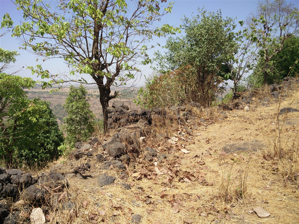
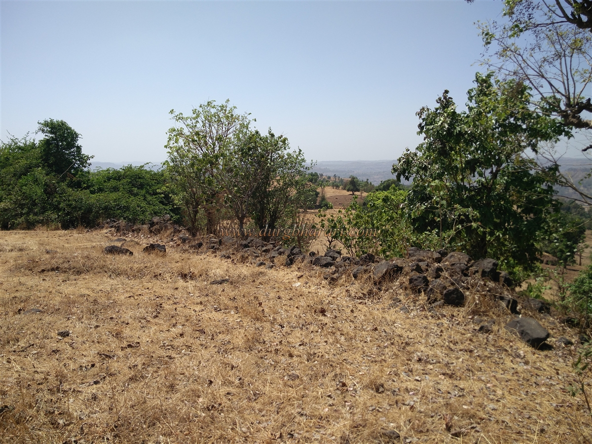
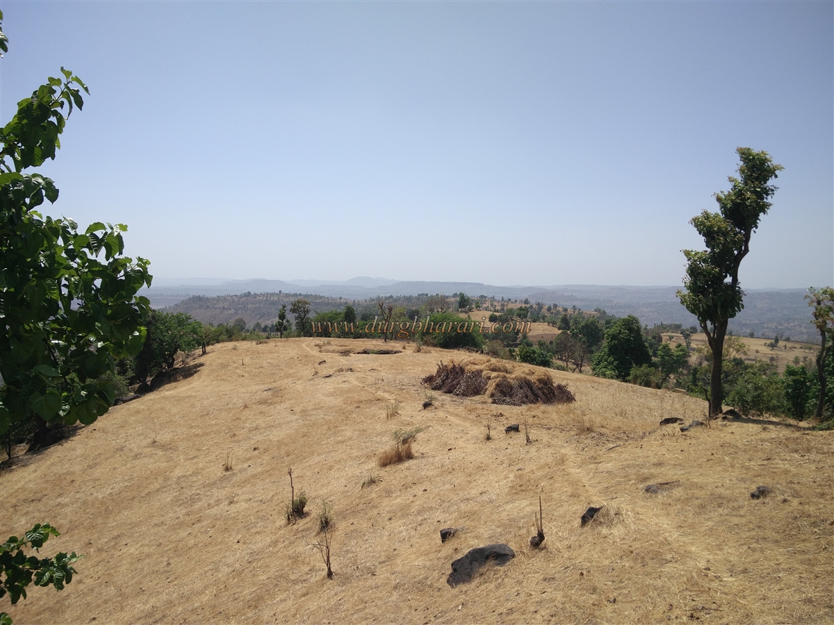
This plateau is long and stretches widely, containing two separate hillocks. The first hillock visible upon reaching the plateau is the one that houses the fort. However, no distinct fort structures are immediately visible. At the center of this hillock is a raised mound with the remnants of a platform, on which a saffron flag has been placed. This is considered the summit of the fort, standing at an elevation of 1,592 feet above sea level, and the hillock spans about 8 acres.
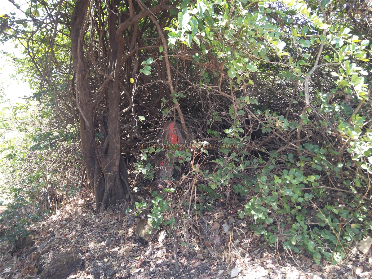
Descending behind this mound, one finds a half-buried dry tank. To the right of this tank are the collapsed remains of a stone wall. On the slope of the hilltop, a few stones smeared with vermilion can be seen, suggesting a small shrine. Below this slope, a large tree with a circular stone platform around it can be found. This marks the end of the fort exploration.
From the road, it takes around half an hour to climb to the top and another half an hour to explore, making one hour sufficient for a full visit. Since there is no water source on the fort, visitors must carry their own. Much of the plateau is still used for farming by local villagers, which may have led to the destruction of any existing ruins. The fort has a large number of Karvand (Carissa) and amla (gooseberry) trees, though tree-cutting is rampant.
This little-known fort finds no mention in historical records, making it one of the most obscure forts in the region.
© Suresh Nimbalkar
GALLERY