SONGIR
TYPE : HILL FORT
DISTRICT : DHULE
HEIGHT : 900 FEET
GRADE : EASY
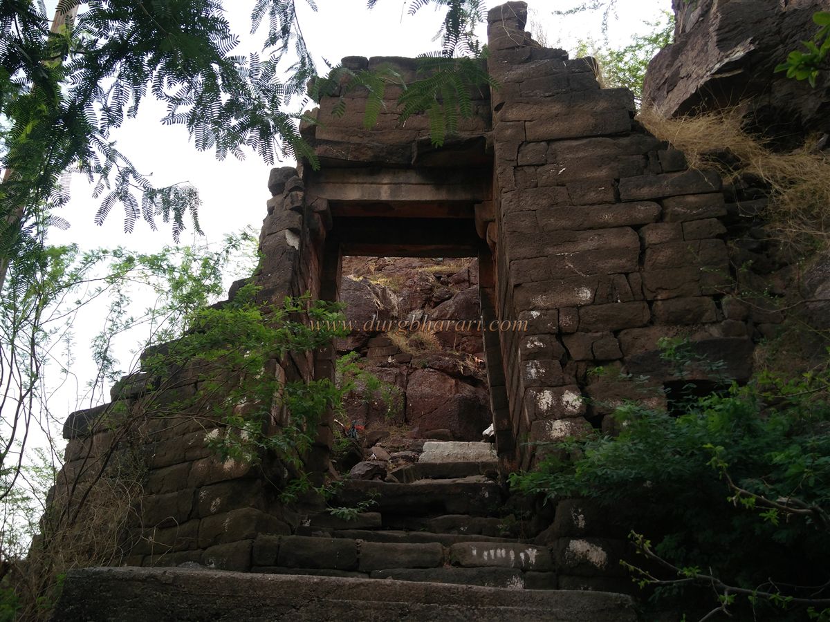
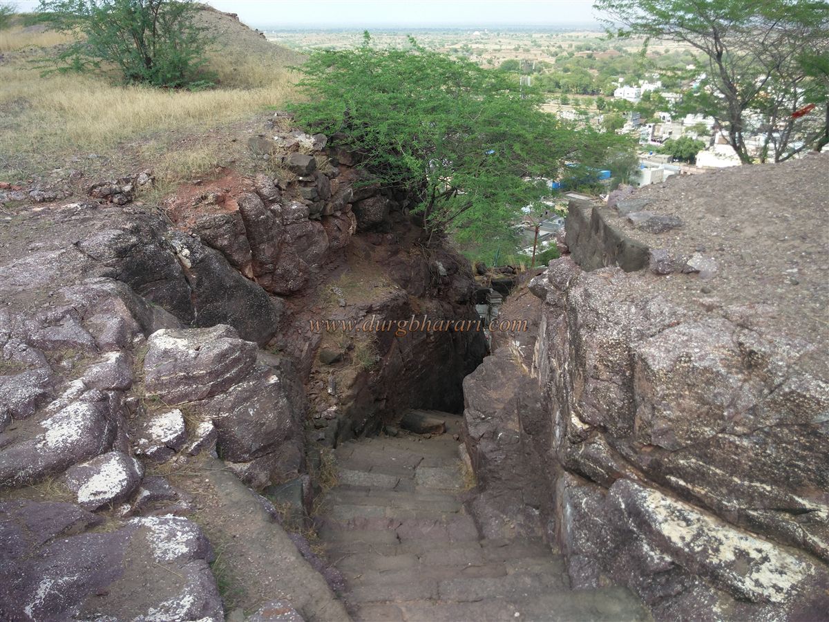
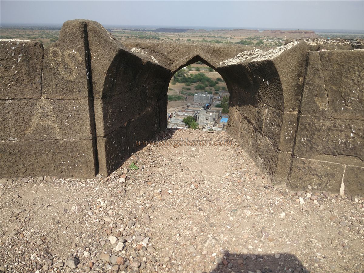
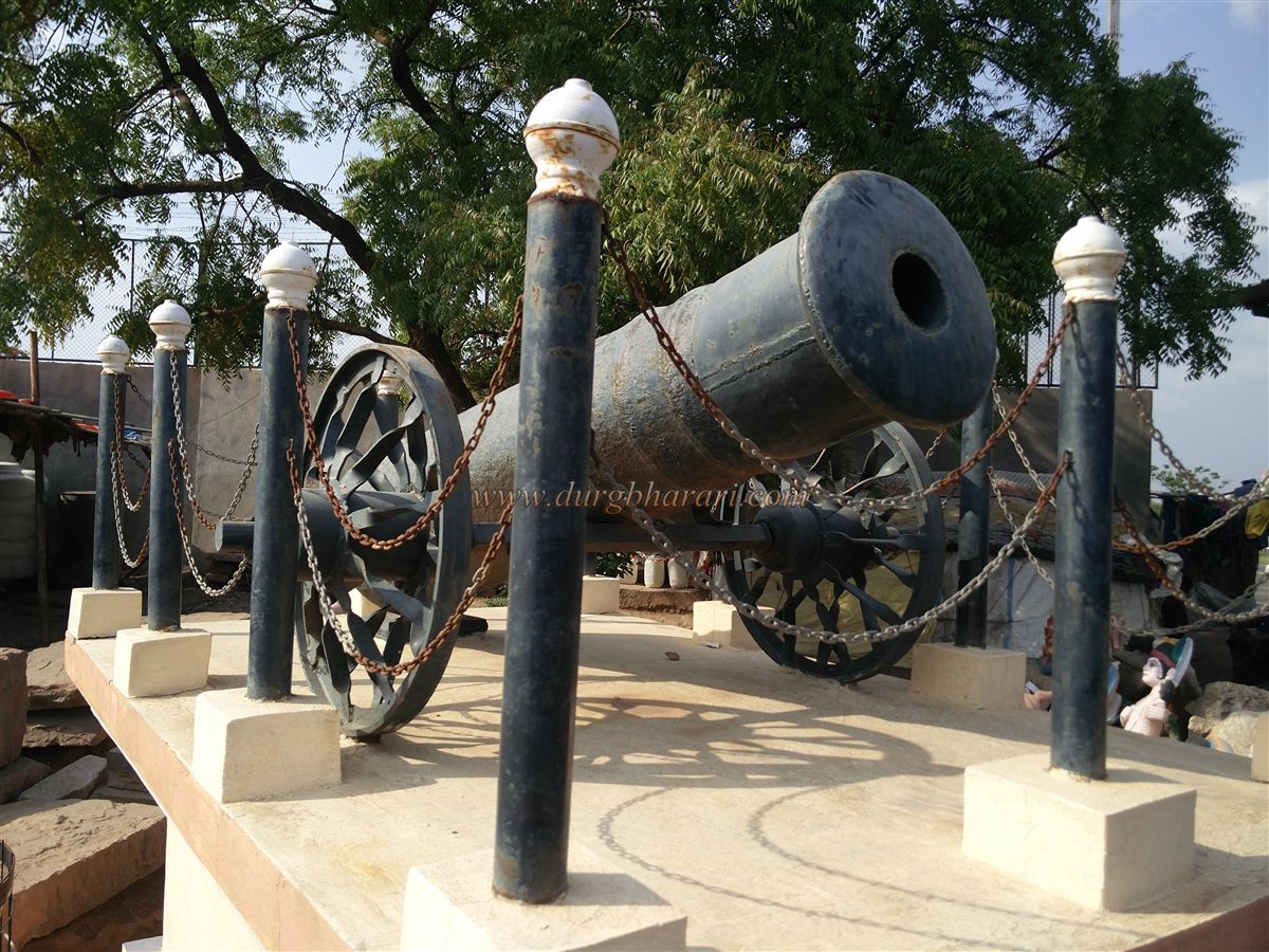
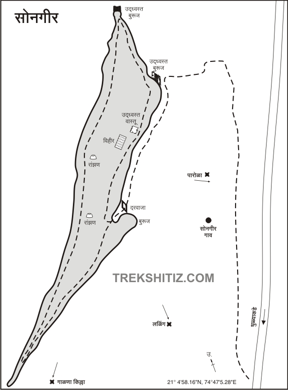
While traveling on the Nashik–Agra highway towards Dhule city, two medium-height forts can be seen on the left – Laling and Songir. Among these, the fort situated on a small hill near Dhule is Fort Songir. At the base of the fort lies the village of Songir, located 18 km from Dhule along the Agra highway. Entering the village from the Songir junction, one’s attention is drawn to a cannon brought from the fort, placed at the village square, and to the fort itself, which stretches north to south. From in front of the village Gram Panchayat office, a small path leads up to the fort. This is the only access route, and the steps at the beginning are newly constructed with cement, starting with an archway. At the end of this path stands the only surviving gateway of Songir Fort, which is still barely holding up. It takes about 15 minutes to reach this east-facing gate from the base.
...
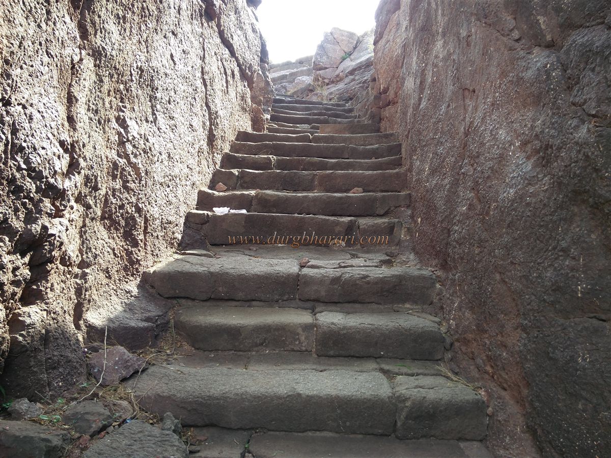
While climbing, one can see the fort wall and the square bastions on the right-hand side. The bastions flanking the gate are in ruins, but the archway remains intact. There is no ornamentation on the gate. Earlier, an inscription measuring 27 inches in length and 9 inches in width was embedded here, but it fell off and has now been preserved at the Rajwade Research Board in Dhule. It bears Sanskrit inscriptions. Inside the gate are four beautifully carved stone pillars and a tomb. Judging by these pillars, this spot may once have had a small temple or a beautifully designed entrance structure. Continuing up along the rock-cut steps, to the left lies the shrine of Sati Asara Devi. Climbing a further 15–20 rock-cut steps brings one to the top of the fort. It takes around half an hour to reach the summit from the base.
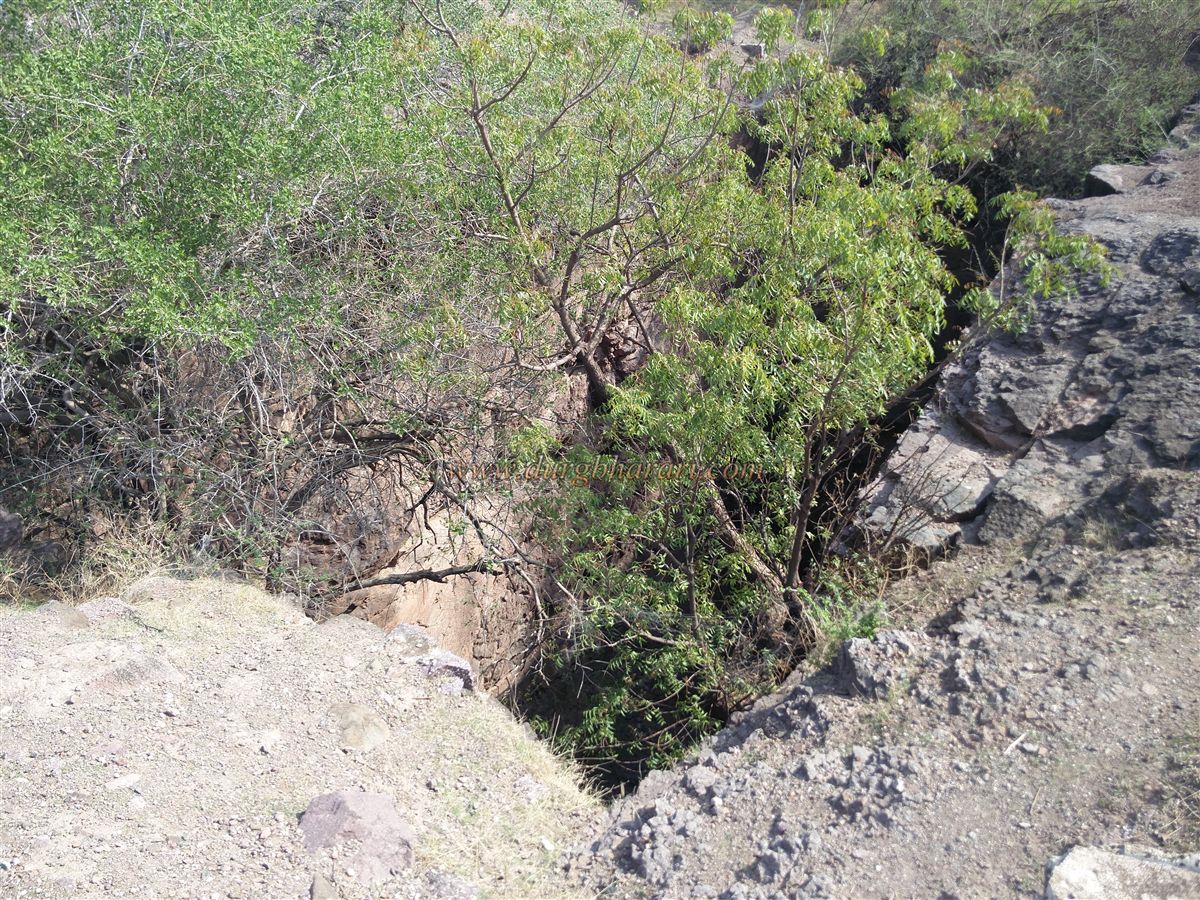
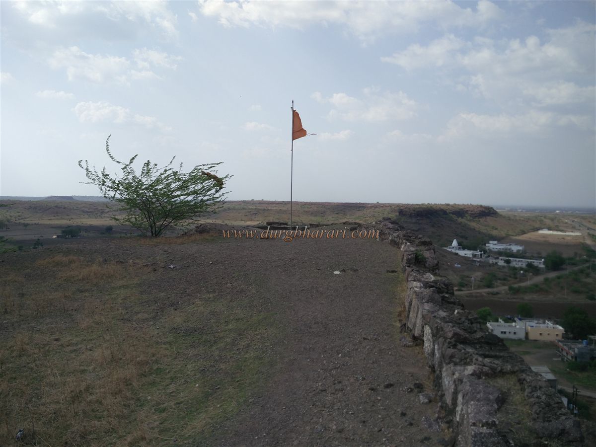
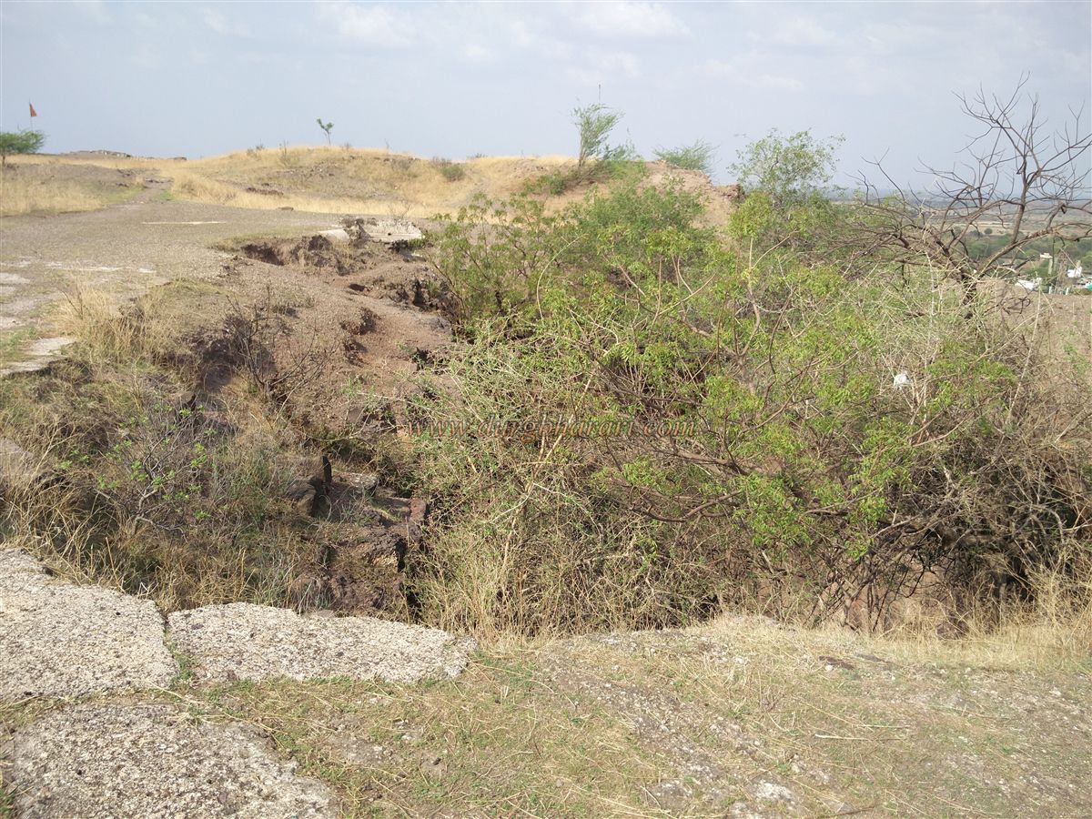
The plateau of Songir stretches from south to north, measuring about 1,200 feet in length and 160 feet in width. The surface is fairly flat with little vegetation. On the fort’s top, one can see an unplaster wall made of small stones, much of which has collapsed. From here, following a path through the middle of the fort, one reaches a bastion on the southern side. Besides the wall and bastions, there are no other significant structures in this section. On the northern side, remains of bastions are visible, including a circular black stone bastion with stone apertures for cannon mouths. Along this path are ruins of dilapidated houses and four underground stone cisterns (ranjans) used for storage. Beside these is a large rectangular well about 100 feet deep, once used to supply water to the garrison through clay pipes. This well, called “Sasu-Sunechi Vihir” (the Mother-in-law and Daughter-in-law’s Well), now contains little water, and its depth is obscured by thick vegetation. An 1806–07 account mentions that 3.5 rupees were spent on hemp ropes to draw water from this well. It is said that a secret underground passage from this well leads out of the fort for escape during enemy attacks. Next to the well are the remains of a stepwell with five niches on each of its four walls, plastered with lime to prevent leakage.
Today, no intact structures remain on the plateau. From the top, one can see the Dongar gaon Dam to the east, the Mumbai–Agra highway, and the Dhule–Shahada highway. This completes an hour-long tour of the fort. When the British surveyed this fort in 1854, they recorded the presence of some structures. A visit to Songir can easily be completed in 2–3 hours, including a stop at the V. K. Rajwade Research Center in Dhule, which houses rare manuscripts, inscriptions, sculptures, and cannons.
The Agra–Nashik route running north to south was of great importance during the medieval period, leading to the construction of forts at strategic points along it in northern Maharashtra. Though no record exists about the builder of Suvarnagiri, also known as Songir Fort, it was likely built to monitor the ancient Surat–Burhanpur trade route. This region, once under Emperor Ashoka, later came under the Satavahan, and in 250 CE, it was conquered by the Ahir kings. Subsequently, the Vakatakas, Chalukya, Rashtrakut, and the Yadavas of Devgiri ruled here. In the 12th century, the Yadavas held power, and it is believed that King Ugrasen of this dynasty built the fort. In the 13th–14th century, Hindu rulers controlled Songir Fort until in 1370 CE, Malik, the founder of the Farooqui dynasty of Khandesh, attacked and captured it. When the Farooqui rule ended in 1601 CE, the fort’s commander was a noble named Foulad Khan. Recognizing Mughal Emperor Akbar’s supremacy after Bahadur Shah’s defeat, Foulad Khan retained his position as fort commander under the Mughals. The fort remained under Mughal control until 1752 when the Marathas defeated the Nizam. As per the Treaty of Bhalki that year, the fort passed into Maratha hands, and Peshwa Balaji Bajirao entrusted its charge to Naroshankar. After the defeat and surrender of Peshwa Bajirao II in 1818, the British took control of the fort.
A witness to numerous dynasties and historical events, Songir Fort today stands neglected and forgotten.
© Suresh Nimbalkar
GALLERY