SONGAD
TYPE : HILL FORT
DISTRICT : RAIGAD
HEIGHT : 1055 FEET
GRADE : MEDIUM
Mahad town has a glorious history dating back to the seventh century. Located on the banks of the Savitri, Gandhari, and Kal rivers in Mahad taluka, the Gandharpale Buddhist caves from the seventh century stand along the Gandhari River. The name Mahad is believed to be a derivative of the Pali word Mahahattha, meaning “large market,” reflecting its significance as a major trading hub of the region. Extensive trade once took place here through boats along the Savitri River. However, as the river route silted up, only remnants of the Mahikavati and Dasgaon ports remain today. To protect this important trade route, a chain of forts—Daulatgad, Songad, and Mahendragad—was constructed.
The hill range that starts from Raigad to the north ends at Chambhargad and Songad. Thus, when Chhatrapati Shivaji Maharaj chose Raigad as the capital of the Swarajya, these forts toward the coast gained immense strategic importance for the defense of the capital.
...
This chain of forts made it difficult for enemies to attack Raigad directly. Though the exact period of Songad’s construction is difficult to determine, as an outpost of Raigad it served as an important watch fort overseeing the creek route.
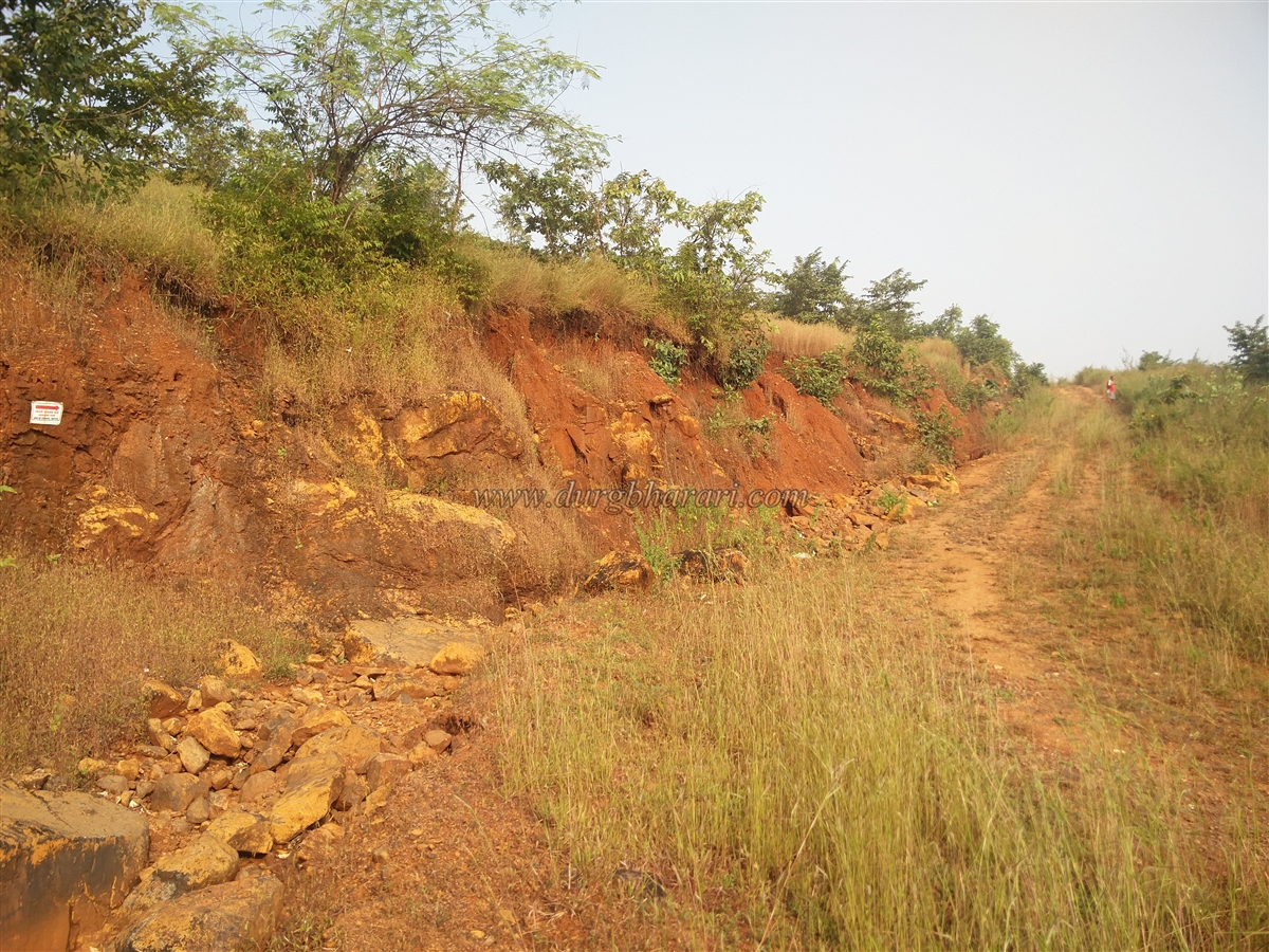
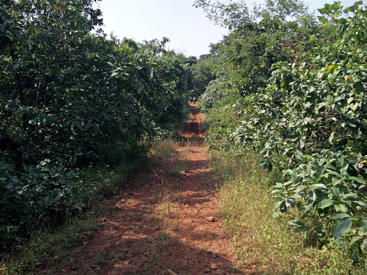
The ruins of Songad can be found atop a hill near the Gandharpale caves, along the Mumbai-Goa highway by the Savitri River. To visit Songad in Mahad taluka, one must first reach Gandharpale village, located 4 km before Mahad on the highway when coming from Mumbai. From Gandharpale, a dirt road leads to Kemburli Plateau, a small hamlet of 16 houses at the base of the fort. It takes about 45 minutes on foot to reach this hamlet. Songad itself is not visible until you arrive here. A ridge from the fort’s hill descends down to Kemburli Plateau. Only about 40 people live here, and as most of the younger residents work in cities, there are no local guides available to take visitors to the fort. Since few people visit the fort and the paths are overgrown, it is essential to get proper directions from villagers before starting the climb. The villagers often advise climbers to aim for the flag on the fort, but it does not remain visible throughout the ascent.
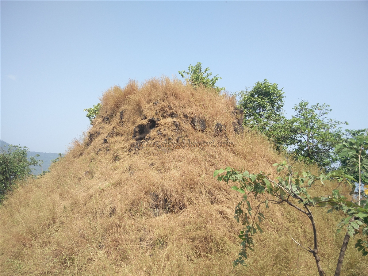
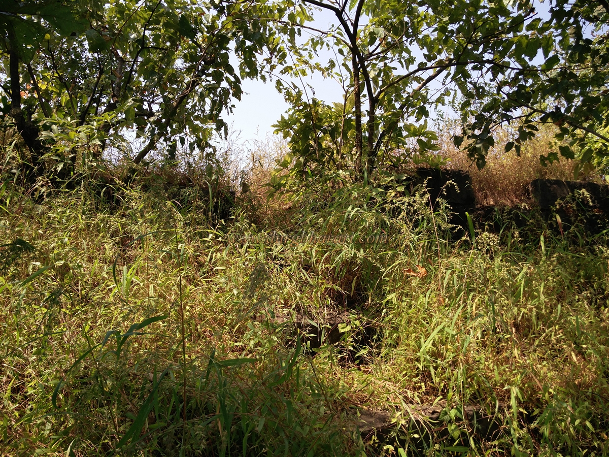
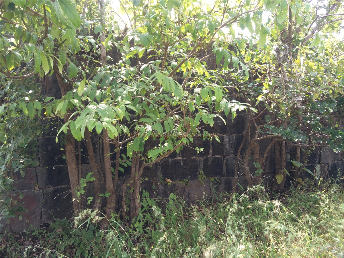
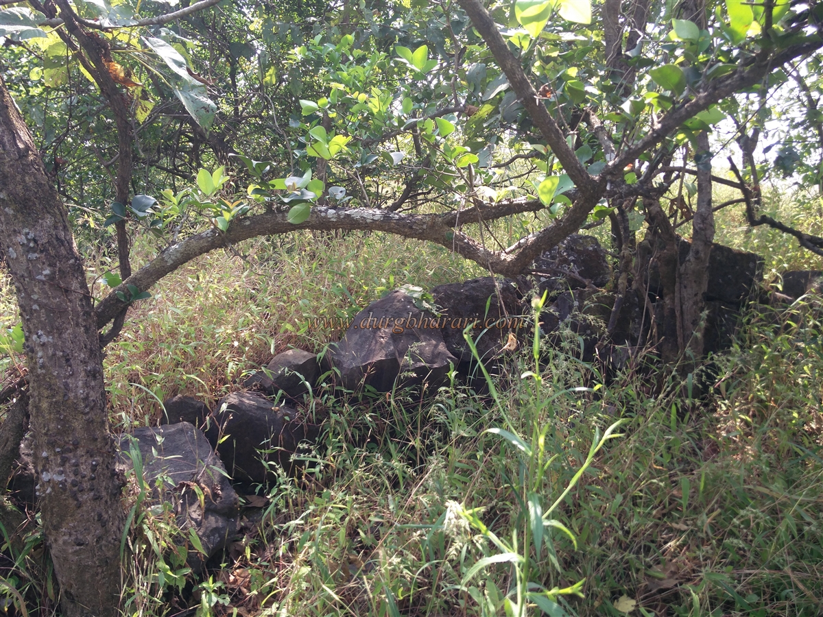
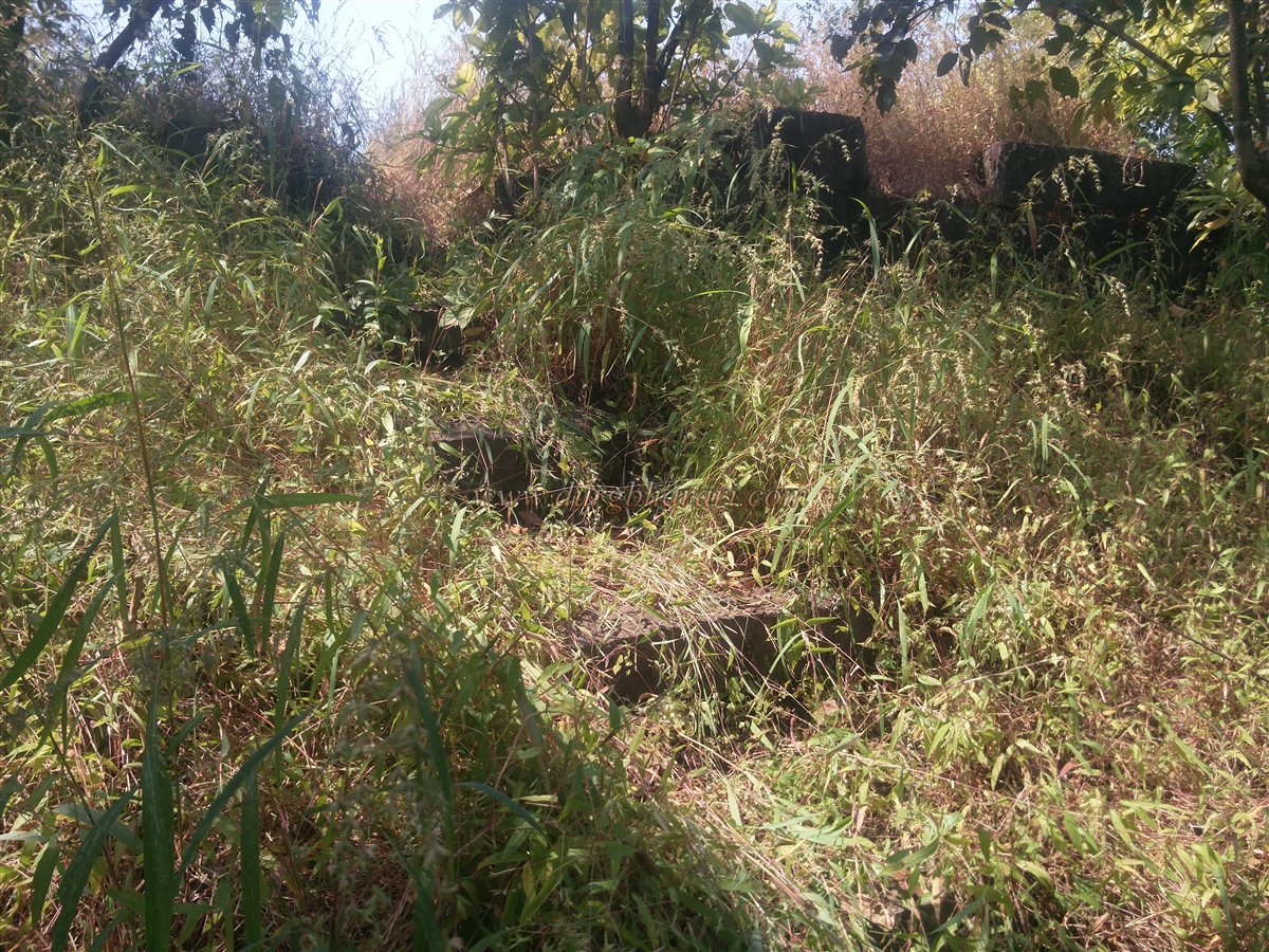
The fort’s hill has a narrow ridge and runs north-south, with an elevation of 890 feet above sea level. From the hamlet, a grass-covered trail passes over two small knolls, a patch of forest, and some flat ground before reaching a dilapidated southern bastion in about 30 minutes. Next to this bastion is a ruined east-facing entrance leading into the fort. The bastions near the gate are largely in ruins, with only parts still standing. Entering through this gate, two rock-cut water tanks can be seen on the hillside to the left, but the path to them is dangerously slippery.
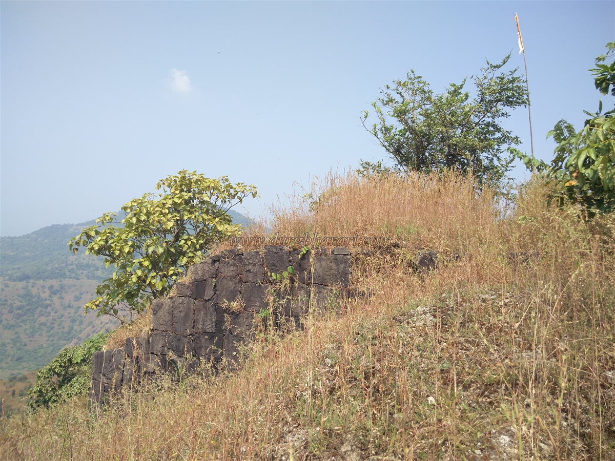
Further along the path, one enters a stone structure built on a platform. The walls and doorframe of this building still remain intact, and eight stone steps lead up to its entrance. This structure, located at the highest point of the fort, now holds a saffron flag within. Beyond the structure, a flat area contains remnants of two more ruined buildings. At the northern edge of this plateau stands a small bastion, marking the end of the fort’s northernmost point.
It takes only about 30 minutes to explore the entire fort, but about two and a half hours to climb from the base. Between October 1657 and January 1658, after descending into the Javli valley and defeating Chandrarao More, Chhatrapati Shivaji Maharaj annexed the forts of Chandragad, Kangori, Makrandgad, Songad, and Chambhargad into Swarajya. Some of these forts were used solely as watch posts and were likely not difficult to capture. Though the exact route Maharaj took to capture them is unknown, records suggest these forts were taken during November and December 1657.
When Maharaj was trapped at Panhala, the British at Rajapur not only supplied ammunition to the Bijapur forces but even joined Siddhi Johor’s army, firing cannons under the English flag. After escaping the siege, Maharaj retaliated in March 1661 by leading a force of 1,000 cavalry and 3,000 infantry to Rajapur. The British resident Revington and several Englishmen were captured, two of whom died in captivity. The remaining prisoners were brought to Songad near Raigad and handed over to Ravji Pandit. They were held there for some time until Revington fell ill; he was released on October 17, 1661, under the condition that he would return after recovery.
Songad is later mentioned in the Peshwa records of 1817, noting that after taking control of Raigad, the Peshwa stationed 300 infantrymen at Songad for its security.
© Suresh Nimbalkar
GALLERY