SONGAD
TYPE : HILL FORT
DISTRICT : SINDHUDURG
HEIGHT : 2050 FEET
GRADE : MEDIUM
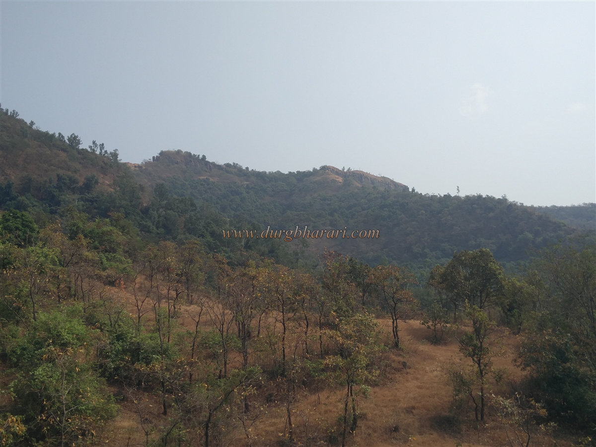
To the east of the Konkan lies the Sahyadri mountain range, where the borders of Pune, Satara, Sangli, and Kolhapur districts meet. In this range, a chain of forts was constructed on the ghats descending into the Konkan to monitor and protect these passes. Among these forts, still relatively unknown to many fort enthusiasts, are Bhairavgad and Songad, which were built to oversee the Nardave and Ghotage passes. The fort on the Ghotage pass, Songad, is officially known in records as Narsinhgad. The Gad River, flowing through this region, divides the area into two parts, with Bhairavgad falling in Kankavli taluka and Songad in Kudal taluka, despite their proximity. If private transport is available, much walking can be avoided, and both forts can be explored in a single day; otherwise, two days are required.
To reach Songad fort, one must first reach Sonwade village at its base. The distance from Kudal to Sonwade via Ghotage is 43 km, while from Kankavli to Sonwade it is 25 km.
...
If visiting both Songad and Bhairavgad, it is convenient to travel from Nardave to Sonwade, which is only 1.5 km via a paved road, or a 20-minute walk from Nardave old station. This road does not appear on Google Maps.
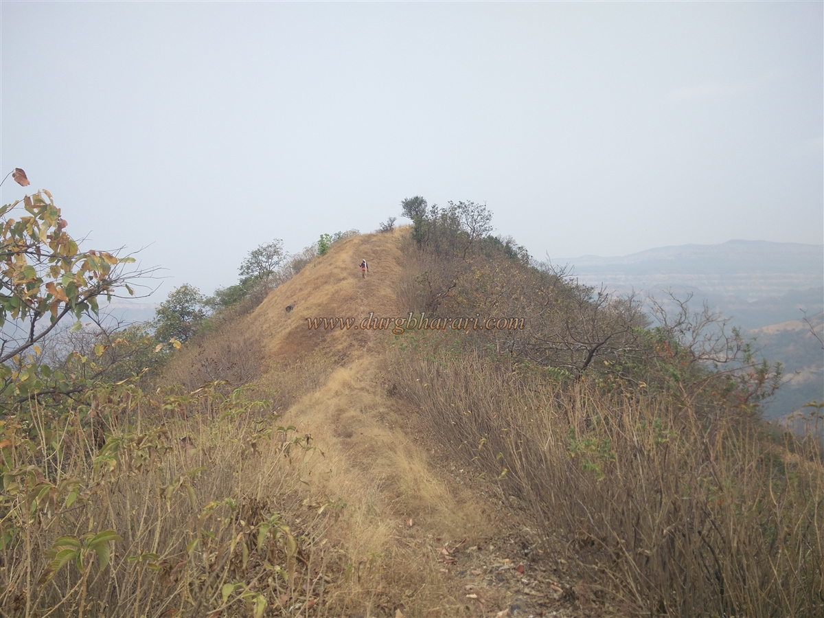
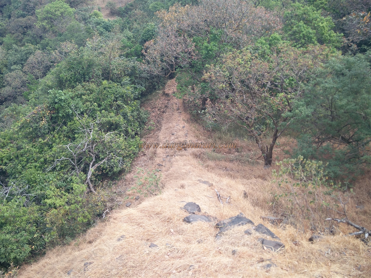
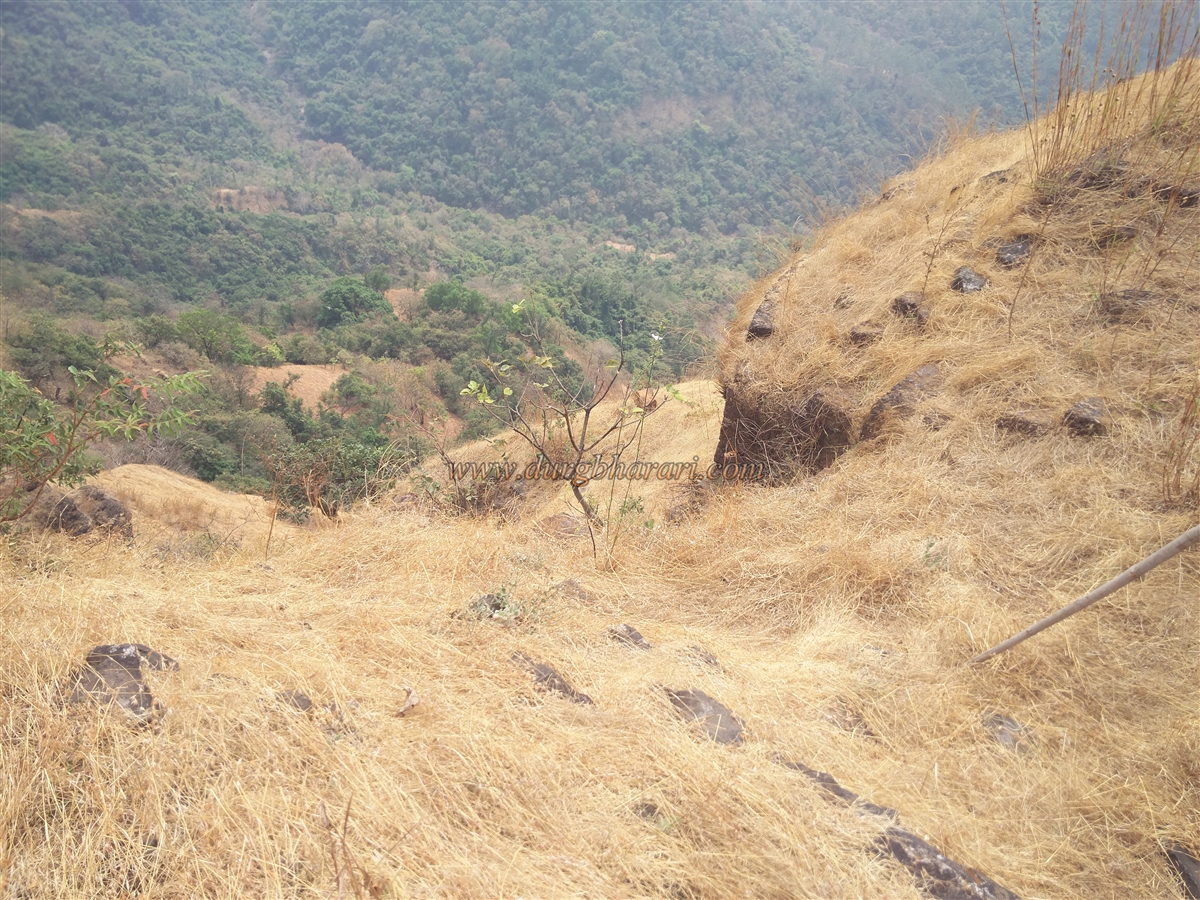
The hill of Songad stretches north-south, and there are three paths to the fort from the village. One path ascends from the southern ridge of the hill, while the other two climb from the northern ridge. From Ghotage to Sonwade, after crossing the river, roadwork is ongoing on the Sonwade Ghat road. If traveling by private vehicle, much of the ascent can be avoided, as this road leads halfway up the fort. From here, a well-trodden path climbs along the southern ridge and enters the fort through its ruined ramparts. The second path starts from the Lingeshwar temple near the village school and goes through the main settlement along the northern ridge. At the edge of this settlement, a cooperative agro-tourism center is under construction. Though the trail is visible, numerous cattle tracks make it difficult to follow, requiring careful navigation.
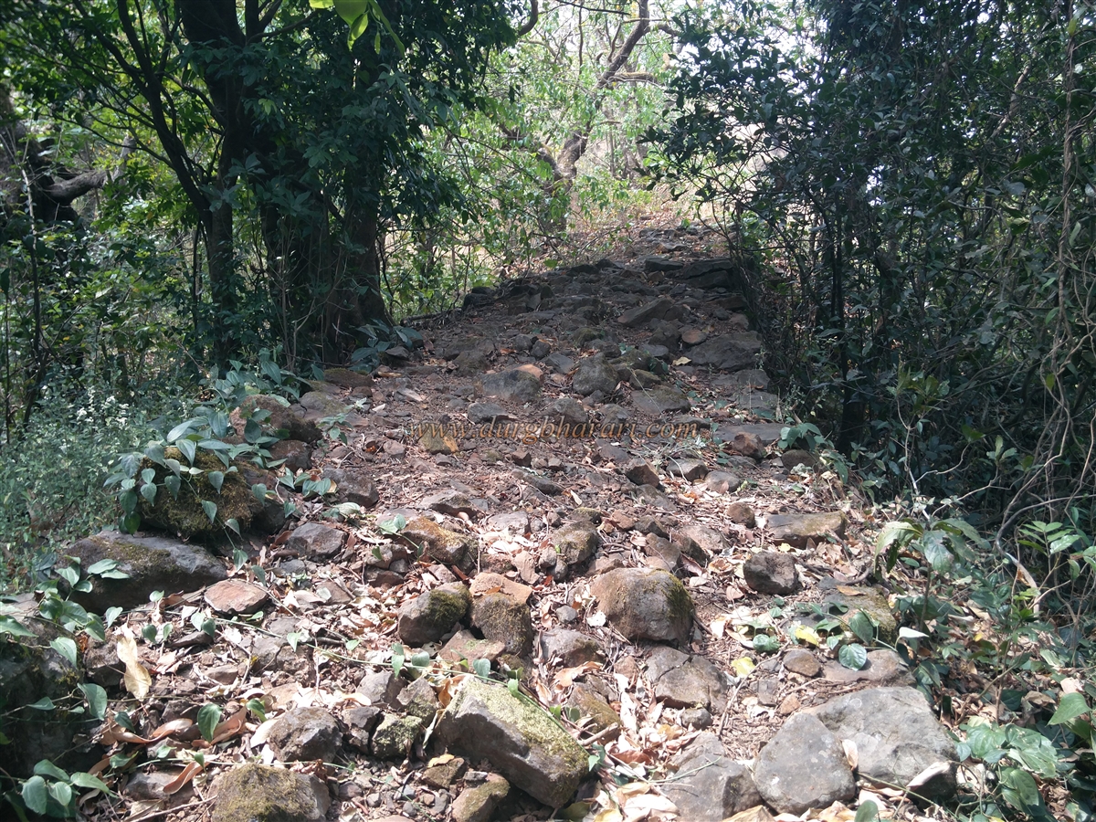
The third path begins from the main road from Sonwade toward Nardave, which turns right toward the northern ridge. After about 3 km, it reaches the opposite side of Sonwade, below the northern slopes. From a large bend here, the ridge can be climbed. Both the first and third paths lead to a ruined entrance between two bastions, taking about 45 minutes to climb if using a vehicle. The path from the village to the fort takes about 1.5 hours on foot.
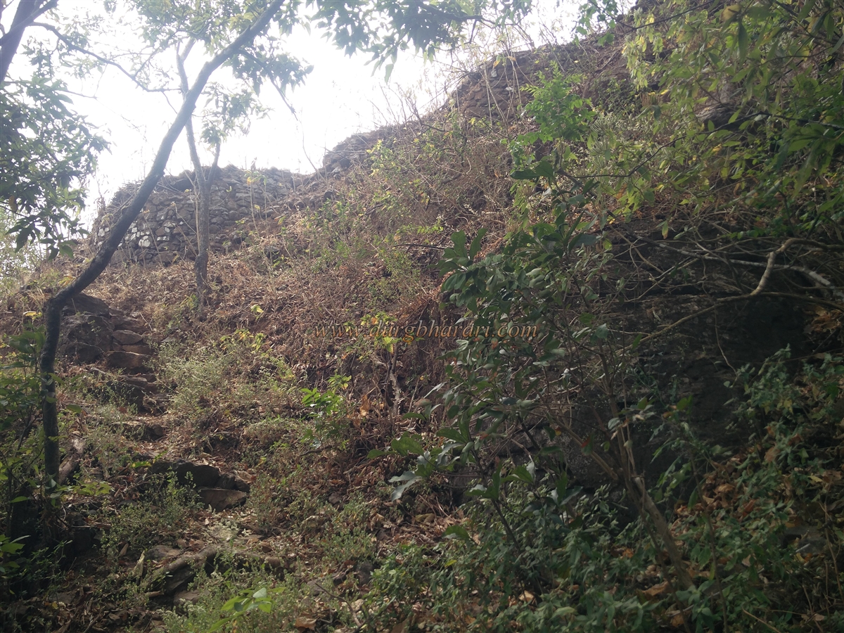
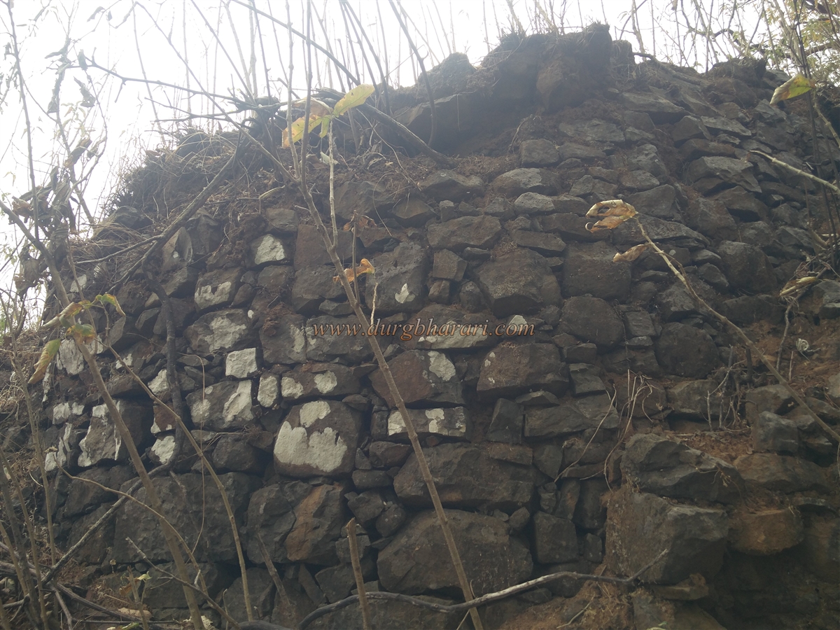
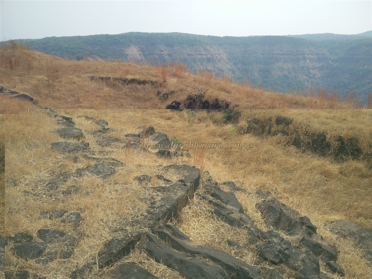
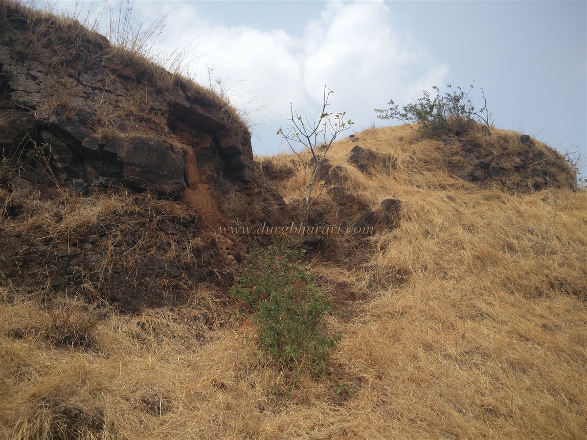
Climbing along the northern ridge, one reaches an oval-shaped natural rock arch locally known as “Bhimachi Akadi.” From here, two paths lead to the fort. The right-hand path joins the trail coming from the southern ridge, while the left-hand path leads directly toward the fort. Taking the left path, in five minutes one reaches a rough stone staircase that climbs between two bastions through a ruined west-facing gate. This lower gate stands about 70–80 feet below the fort’s summit. The area is overgrown with dense karvi shrubs and grass. From here, climbing along the ramparts begins the fort tour.
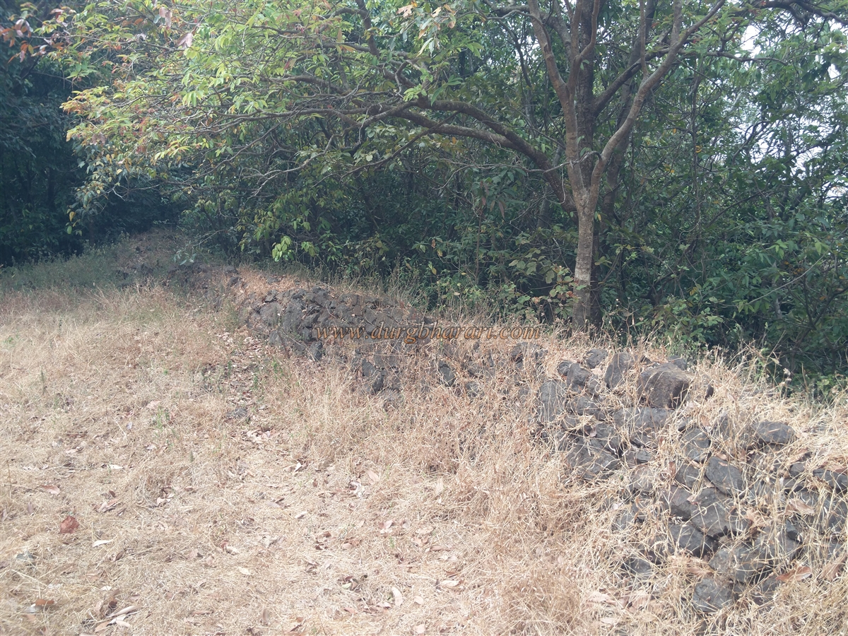
The first stop is a bastion above the rock arch, which overlooks the entire approach along the northern ridge. The bastion is surrounded by thick karvi growth and contains only a single platform. Continuing along the walls, the rampart descends, revealing remains of several structures. Built of uncut stones without mortar, parts of the rampart have now turned into mounds of soil. A path from the southern ridge enters the fort through this lower section of the rampart. At this point lies a carved stone inside the wall, once mistaken for a Shivalinga but actually a stone used for washing.
Near this slope, inside the fortifications, is a large deep reservoir, now overgrown with dense vegetation, making it difficult to see if water remains inside. The wall here is built extra wide to support the reservoir. On its edge stands a small shrine built with dressed stones.
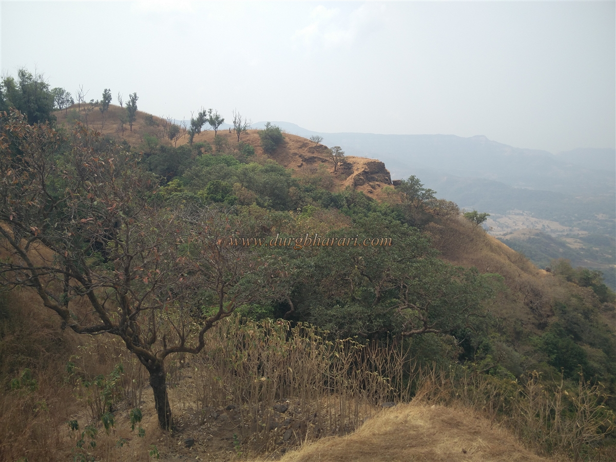
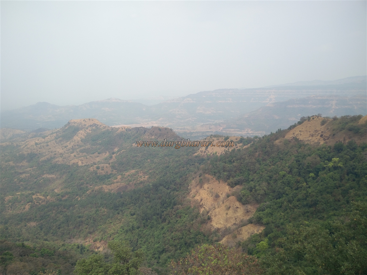
Further ahead, one reaches a massive bastion built of dressed stone at the southern tip of the fort. From this bastion, the entire southern approach to the fort is visible. Below this southern wall lies a large cave, said to hold water year-round, though it could not be located during exploration. From the bastion, circling along the rampart and passing another bastion leads to the eastern side of the fort.
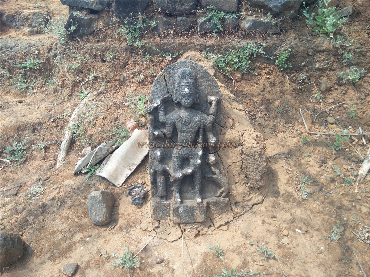
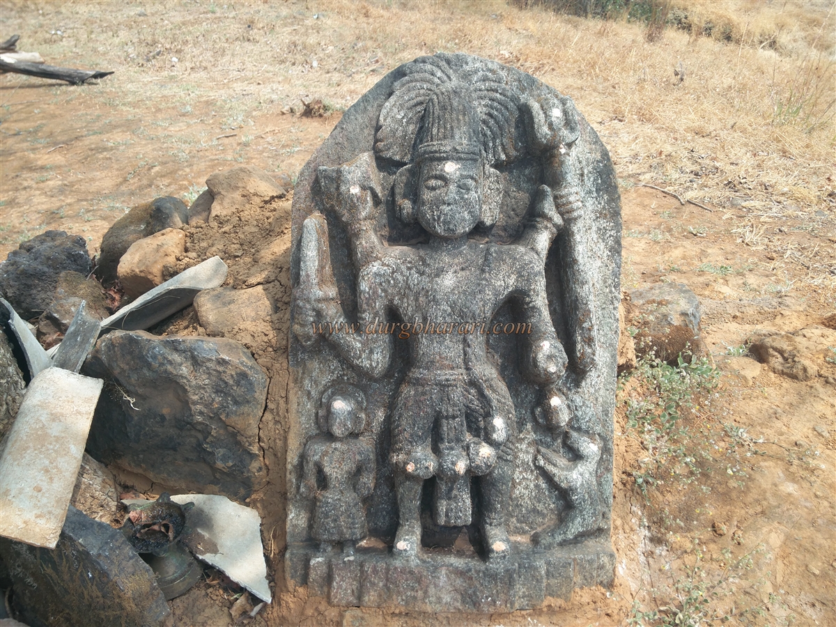
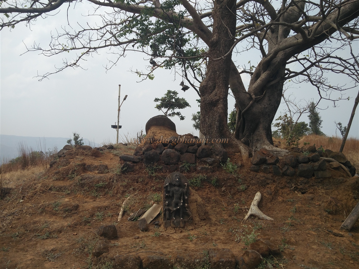
This area has the fort’s only relatively flat space. Under a peepal tree on a ruined platform stands an idol of Bhairavanath, with another broken idol of Bhairav behind it. The locals worship this deity as “Sondev.” Beside the idol stands a roofless hut containing utensils for cooking, with two water pots always kept filled by the villagers. The temple compound has a dry pond and another ruined platform.
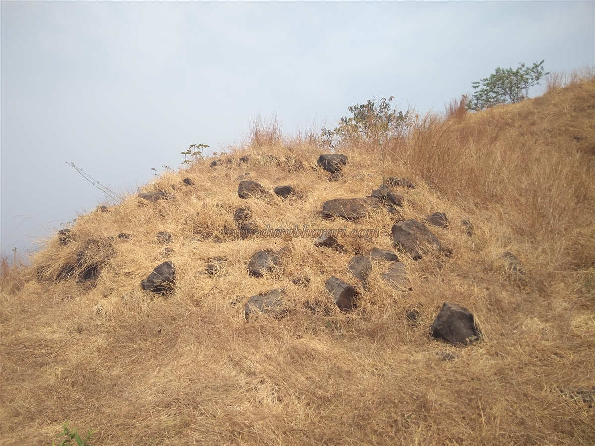
On a mound opposite the temple lie the remains of a large mansion, with 3–4-foot-high walls still intact. Inside the mansion are several rooms. At this spot, the fort stands at an elevation of 2,060 feet above sea level and spans an area of roughly 25 acres. Except for this eastern area, the fort lacks much flat ground.
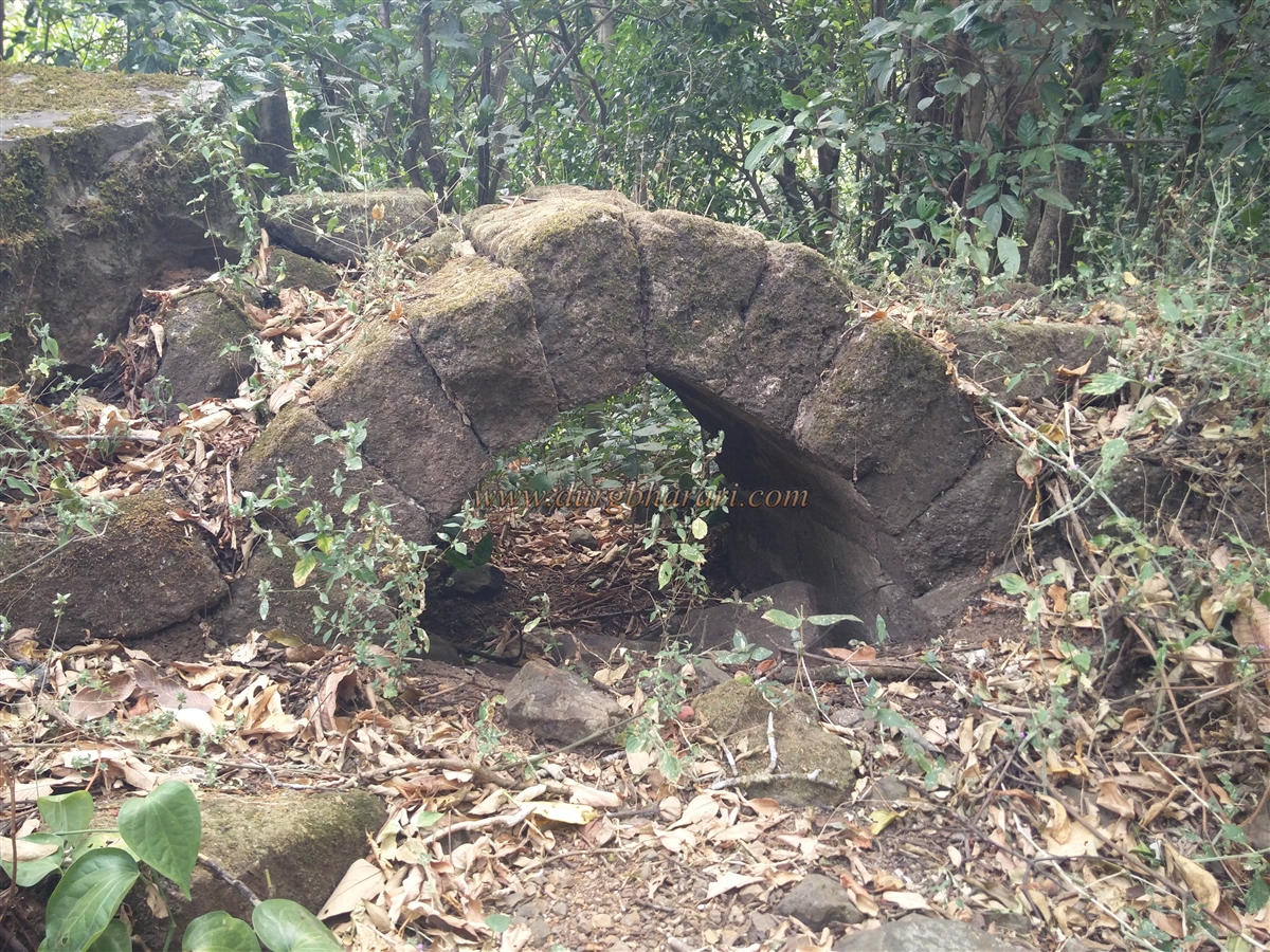
Continuing along the ramparts, one reaches a rock-cut water tank, followed by two ruined eastern-facing bastions. The gateway between them has completely collapsed, leaving only a few steps descending toward a narrow ridge connecting the fort to the main Sahyadri range. Carefully descending these steps reveals two bastions, a gateway, and adjoining ramparts made of dressed stone.
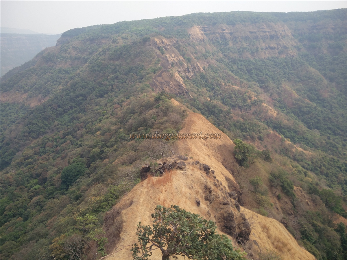
From here, turning north along the walls, Bhairavgad and the broad Gad river valley come into view. The presence of numerous ruins suggests that the main settlement of the fort was located in this area. However, dense grass covers most of these remains. Proceeding further, a large pond filled with soil appears in a depression, though it only holds water during the monsoon. Continuing along the ramparts, a small rock-cut tank can be seen, followed by a dense thicket and slope leading back to the starting point of the exploration.
It takes about 1.5 hours to fully tour the fort. Though no records mention the fort during Shivaji Maharaj’s time, its strategic position near the Nardave and Ghotage passes suggests it existed earlier as a watch fort. Some sources claim that Phond Sawant (1709–1738) built the fort, but this lacks documentary evidence; he may instead have repaired it.
A record from August 5, 1700, notes that Janardan Bhat of Patgaon was granted certain customs rights for goods transported through the Ghotage pass, proving that the route was already in use. Continuous conflicts between the Karvir rulers and Sawant often led the Sawant to trouble Bhairavgad and Songad. In April 1782, after lifting the siege of Rangana, the Sawant promised not to disturb these forts.
In 1787, the Sawant acquired a morchel (a military post) from the emperor, which the Karvir rulers opposed. As a result, Karvir’s commanders, Narasinhrao Shinde and Yashwantrao Shinde, attacked and captured Songad in early January 1788. A reconciliation was later reached, and on November 5, 1793, the fort was returned to the Sawant. In April 1795, Dhondo Lele was appointed as its commander.
In 1805, during internal disputes among the Sawant, Rangana’s Commander Ranoji Nimbalkar took the fort on behalf of Karvir and appointed Sakharam Jadhav as its commander. The fort remained under Karvir’s control thereafter. A letter dated November 9, 1817, from Commander Sakharam Jadhav to the Amatya, mentions British and Portuguese military activities, assuring that the fort’s defences were strong.
Throughout these documents, the fort is referred to as Narsinhgad. In 1822, during a revenue dispute between the Sawant and Karvir rulers, the British government awarded the forts of Songad and Bhairavgad to Karvir. In 1842, Keso Abaji served as the fort’s Sabnis (administrator). After the 1844 garrison revolt in Karvir, the fort remained active until 1850, as records indicate the arrival of British-provided salary bags that year.
© Suresh Nimbalkar
GALLERY