SONDAI
TYPE : HILL FORT
DISTRICT : RAIGAD
HEIGHT : 1600 FEET
GRADE : MEDIUM
Karjat on the Mumbai–Pune route is a favourite destination for trekkers. Many have begun their trekking adventures by exploring the nearby forts of Rajmachi, Peth, Songir, Peb, Bhivgad, Dhak, and Bhimashankar. On a hill facing Matheran, visible from the Karjat–Chowk road, lies the shrine of Sondai Devi, which is actually the Sondai Fort. Located near Karjat in Raigad district, the most convenient route to reach Sondai is via Chowk village from Panvel. From the Chowk–Karjat road, taking a turn at the Borgav junction leads along the Morbe Dam reservoir to the base village of Sondai wadi. Sondai wadi and Wavarle are the two base villages of this fort, with Sondai wadi situated at a higher elevation than Wavarle. Locally, Sondai Fort is referred to as "Sondai Devi’s hill," so instead of saying you are visiting the fort, saying you are going for the darshan of Sondai Devi makes it immediately clear to the locals, who are often willing to guide visitors.
...
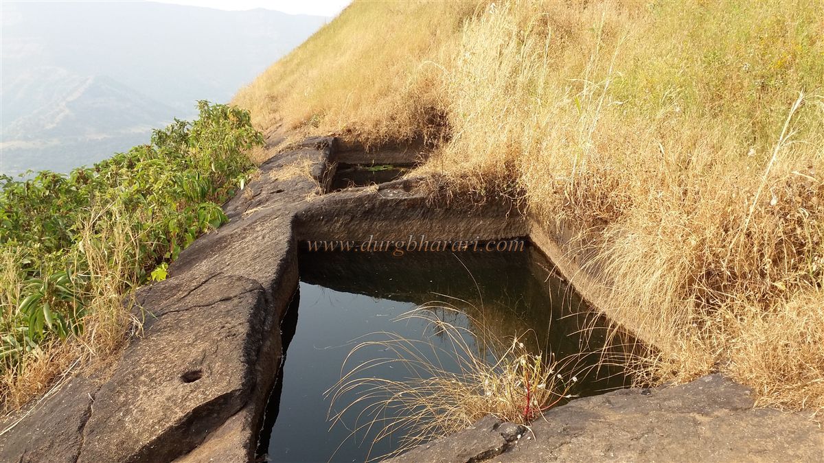
The climb to the fort starts from Sondai wadi. A well-trodden path leads up from the village to the fort, but it also branches toward Changevadi. Avoiding the left path toward Changevadi, the right-hand path brings you to a plateau within 15 minutes. Along this path, a route from Wavarle village merges. From here, a flag fluttering atop the narrowing ridge of the hill becomes a clear marker for the fort’s location. Ahead on the trail, rock-cut steps appear. Initially keeping the fort hill to the right and later to the left, you cross the ridge and reach a second plateau. It takes about 45 minutes to get here from Sondai wadi. At this plateau are two rock-cut water cisterns that hold water year-round, though during summer a rope is needed to draw water. From this spot, one can see the adjacent, taller hill of Ghawari, with a striking isolated rock formation that draws attention.
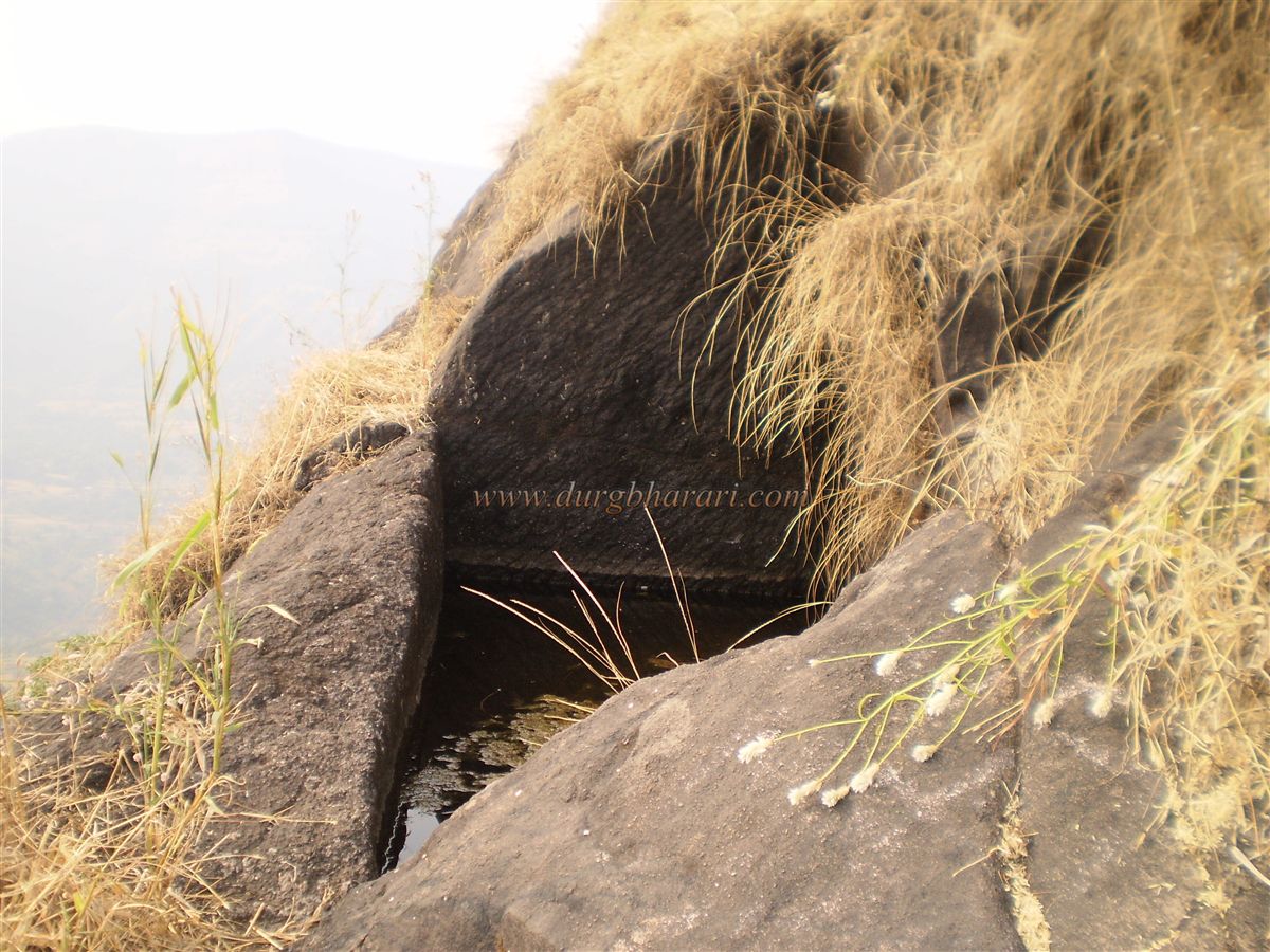
Further uphill, rock-cut steps lead to another level, where on the left is a dry cistern and on the right is an iron ladder providing access to the summit. Here, for those willing to attempt a bit of adventure, the rock face has been carved with footholds, allowing climbers to scale the 15-foot rock patch. Alternatively, the ladder makes the ascent much easier. These ancient rock-cut steps reflect the antiquity of the fort and provide a satisfying glimpse of its history.
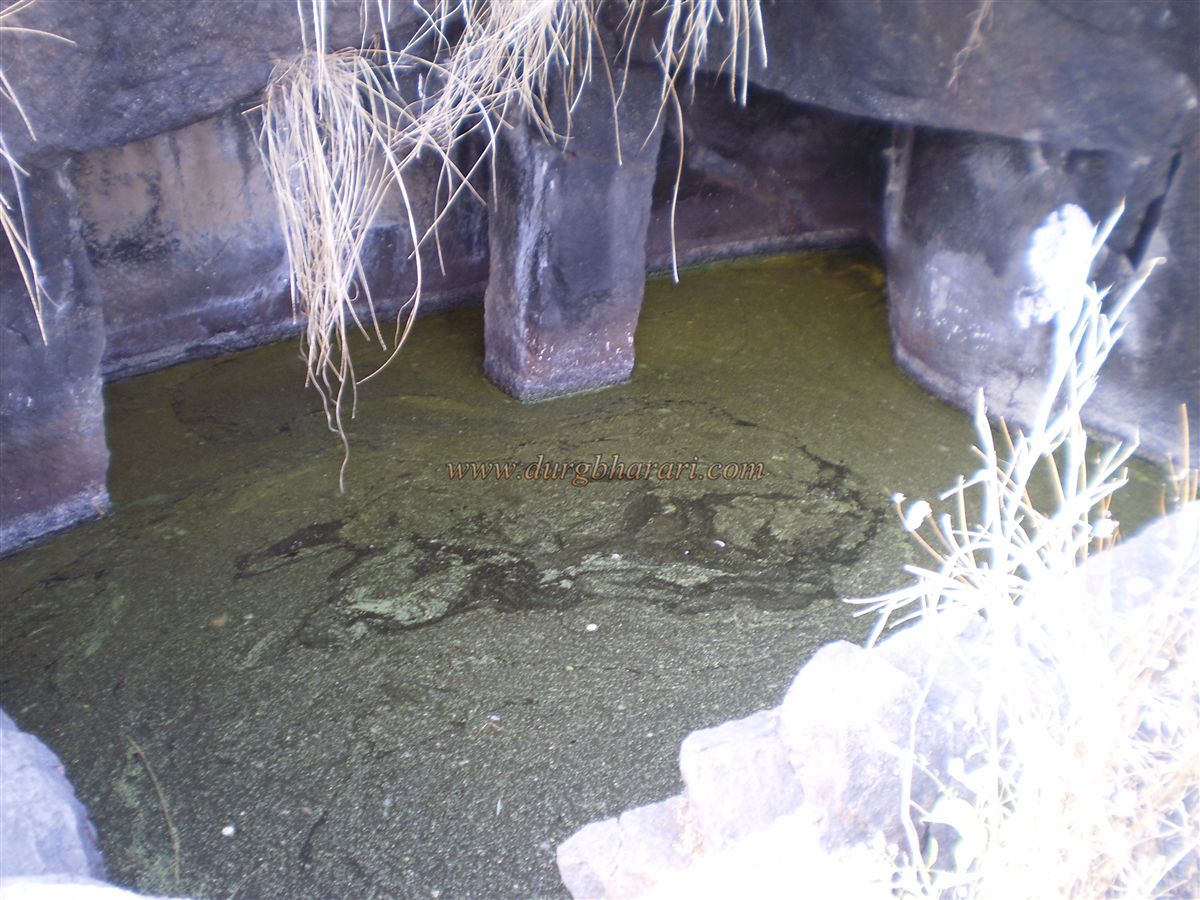
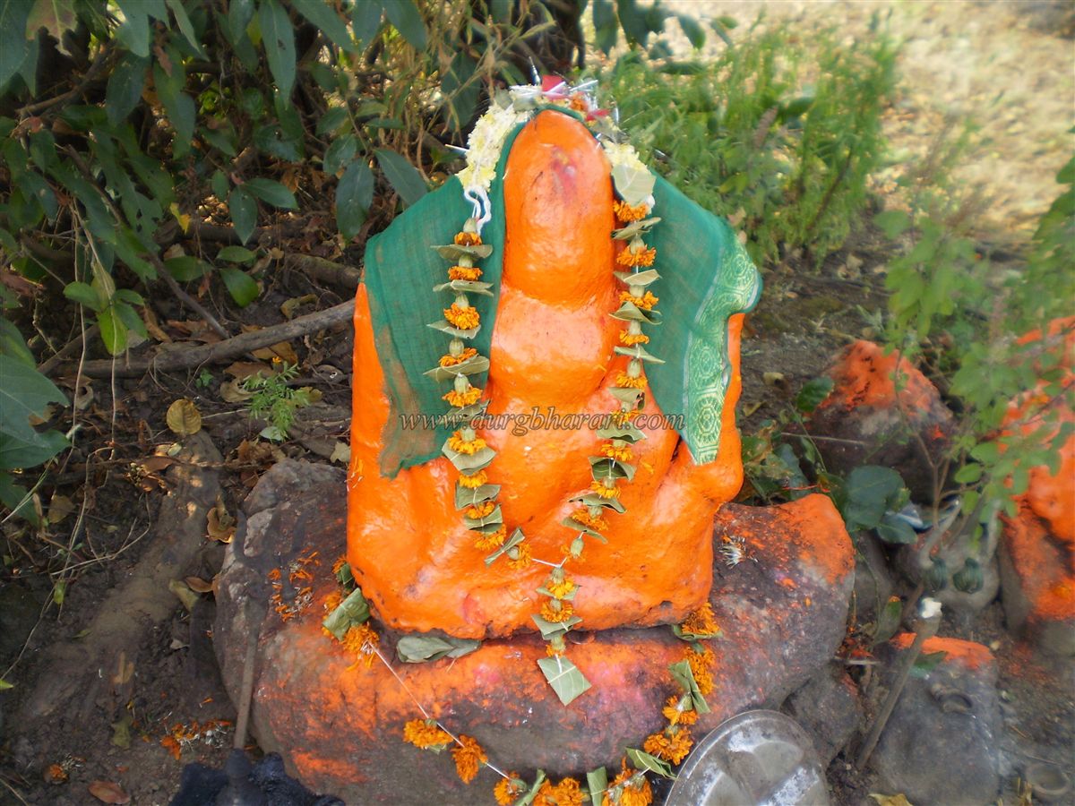
At the top of the climb is a cave-like excavation. On the right are two water tanks: the first, a large tank with two carved stone pillars, contains non-potable water, while the smaller second tank holds potable water. The summit of the fort is quite small. Under a tree are two carved stone idols, one of which is the idol of Sondai Devi. This stone idol, referred to as a Tandala, stands exposed to sun, wind, and rain throughout the year, yet remains the focus of heartfelt worship by the villagers, who perform rituals in the open.
There are no remnants of fortifications or bastions, but the natural beauty makes this trek refreshing, while the 15-foot rock patch adds a thrilling element. From the summit, to the west, Irshalgad and the vast plateau of Matheran are visible. The Morbe Dam, Wavarle Dam, and the surrounding countryside can also be seen from here. Judging by its size, this fort was likely used as a watchtower.
© Suresh Nimbalkar
GALLERY