SATAVALI
TYPE : COASTAL FORT
DISTRICT : RATNAGIRI
HEIGHT : 0
GRADE : RATNAGIRI
Satavali village, located in Ratnagiri district’s Lanja taluka, lies 18 km from Lanja town and 25 km from Rajapur. Situated on the banks of the Muchkundi River, Satavali was a secondary port in ancient times. To monitor the trade conducted along the Muchkundi River, Satavali Fort was constructed on its banks. This fort, classified as a small gadhi (outpost fort), is known as Satavali Fort after the village. A short distance from the fort, trading boats used to dock in the Muchkundi riverbed, and a jetty was constructed to unload goods, though it no longer exists. The place became a central storage hub for goods, hence it was known as “Bandarsatha.” From here, the goods were transported on bullock backs to the Ghats and nearby regions. Over time, the name “Sathavani” evolved into “Satavali.” The exact date of construction of Satavali Fort is unknown, but it certainly existed during Shivaji Maharaj’s era.
...
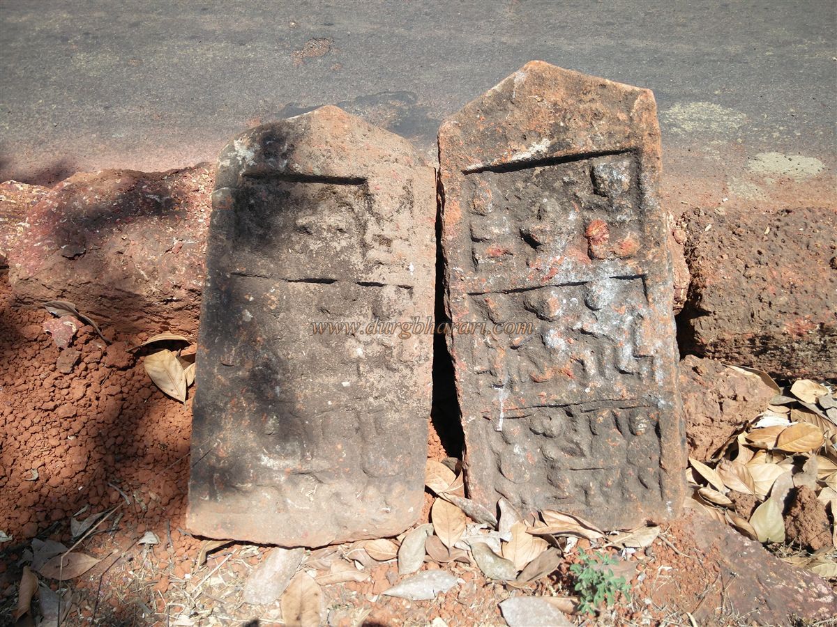
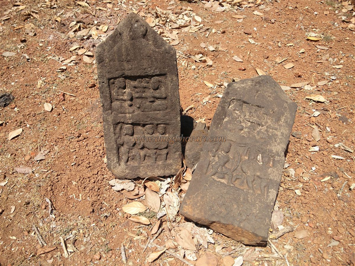
On the way from the village to the fort, several stone idols, hero stones (virgal), and sati stones are placed on the platform of the Omkareshwar temple. Further along the path, there is a square stone well with steps, divided into two sections. Using a private vehicle, one can reach the fort’s entrance in about five minutes via the road near Satavali School. In front of the fort lies the Muchkundi riverbed.
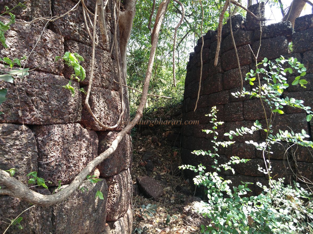
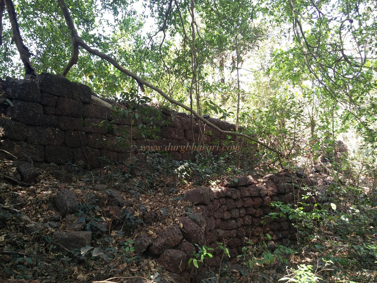
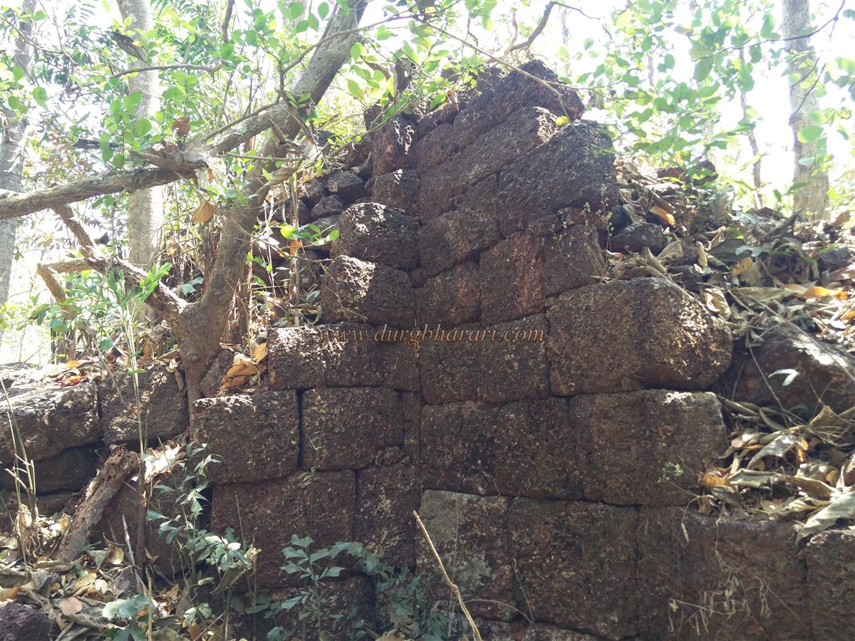
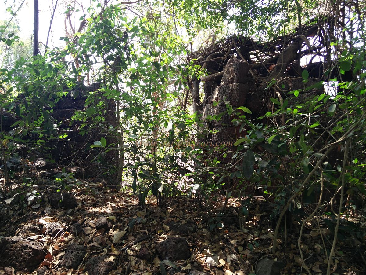
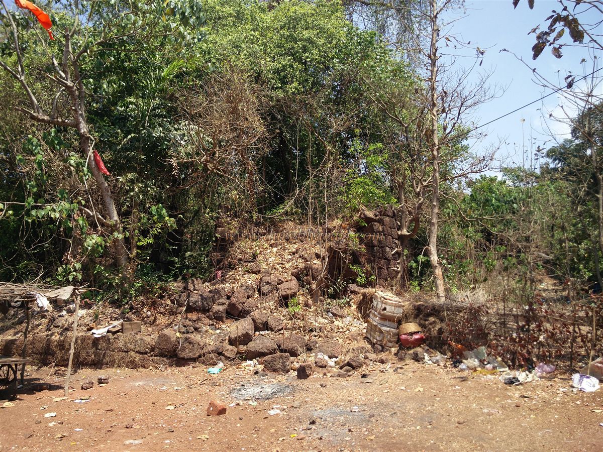
The fort is now in a dilapidated state, overrun by dense vegetation. This watch fort covers less than half an acre and has a total of five bastions. The eastern-facing main gate is situated at one corner, with two bastions flanking it and the remaining three at the other ends. The walls and bastions are built by simply stacking large laterite stones without any lime mortar or bonding mixture. Most of the walls and bastions have crumbled. Entry to the fort is through a ruined doorway between two bastions.
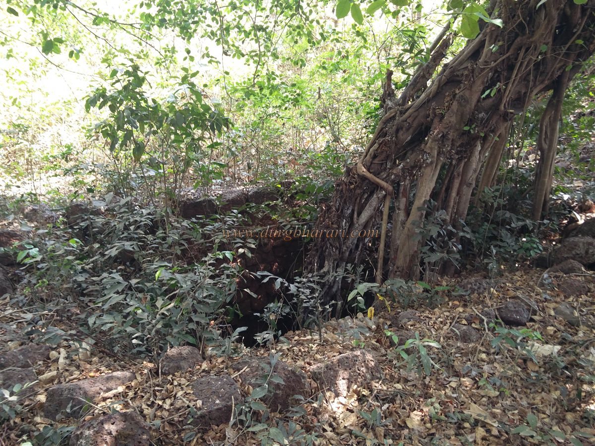
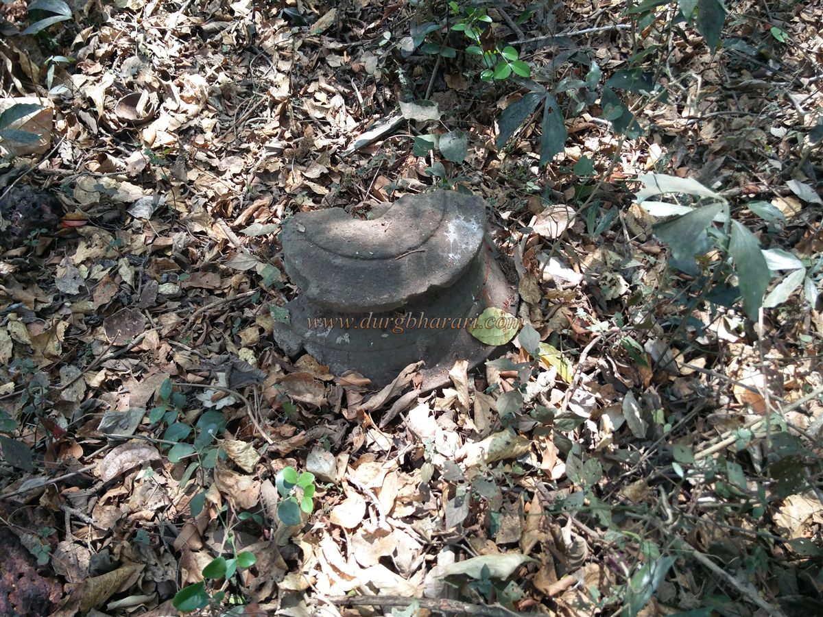
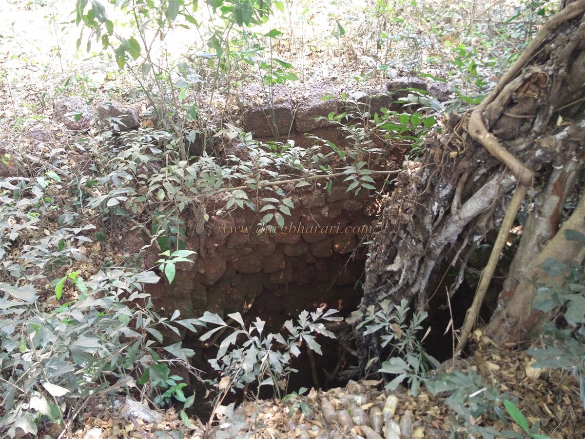
Inside, there is a huge tree immediately visible, with a dry square well to its right, filled with discarded glass bottles. Ahead of the well stands a large ruined platform, surrounded by three smaller ones. Due to overgrowth, visitors must clear their way through the shrubs to climb up the bastions and ramparts, where cannon and gun loopholes are still visible. On the eastern and southern sides of the fort lies a deep moat, likely dug out to extract stones for construction.
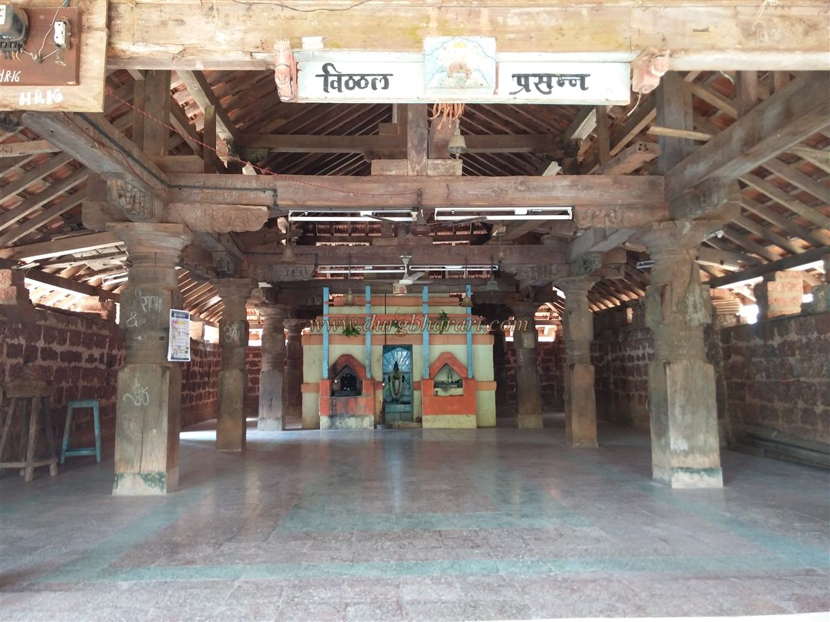
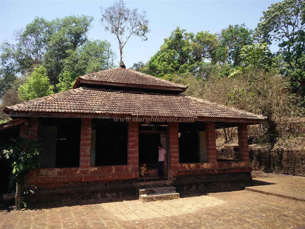
After visiting the fort, one should also see the Vitthal-Rakhumai temple in the village. This wooden-structured temple is beautiful, and a cannon is placed in its courtyard. An hour is sufficient to visit both the fort and the temple.
After Afzal Khan’s slaying, Shivaji Maharaj launched a campaign in the Konkan. Once Rajapur was captured, Sardar Doroji was sent to take Satavali Fort. Seeing the Maratha army approach, the fort’s Subhedar fled with his troops to Rajapur and later to Jaitapur, where he took refuge on Afzal Khan’s ships anchored from Dabhol.
Satavali is also mentioned in British records. British officer Gifford was imprisoned at Kharepatan, and the Marathas planned to transfer him to either Satavali or Vishalgad Fort. Gifford informed the British about this plan. To rescue him, Henry Revington devised a strategy. As the Marathas were transporting Gifford, the British intercepted them about 10 miles away. It is unclear whether a skirmish took place, but Gifford was successfully rescued. These events are mentioned in a letter dated 23 February 1660, written by Rajapur-based British officials to their counterparts in Surat.
In 1713, after mediator Balaji Vishwanath resolved the conflict between Kanhoji Angre and Chhatrapati Shahu Maharaj, Satavali Fort remained under Kanhoji Angre along with 16 other forts. In 1755, after relations soured between Tulaji Angre and the Peshwa, the Peshwas, with British assistance, seized Angre territory, and Satavali Fort came under Peshwa control. By 1818, the fort had fallen into British hands.
This historically significant gadhi deserves at least one visit before it disappears completely.
© Suresh Nimbalkar
GALLERY