SARTODI KOT
TYPE : GROUND FORT
DISTRICT : PALGHAR
HEIGHT : 0
GRADE : EASY
Sartodi is a small village nestled in the creek bend of the Vaitarna Estuary in the Safale region. The Sartodi Fort (Kot), once located here, has been completely destroyed and has faded into oblivion. The fort was situated about 2 km from Safale Railway Station and 18 km from the Varai Phata junction on the Mumbai–Ahmedabad Highway. From Safale station, private rickshaws are available to reach Sartodi village. Those traveling from the highway via Varai Phata will find the Sartodi turn before reaching Safale station.
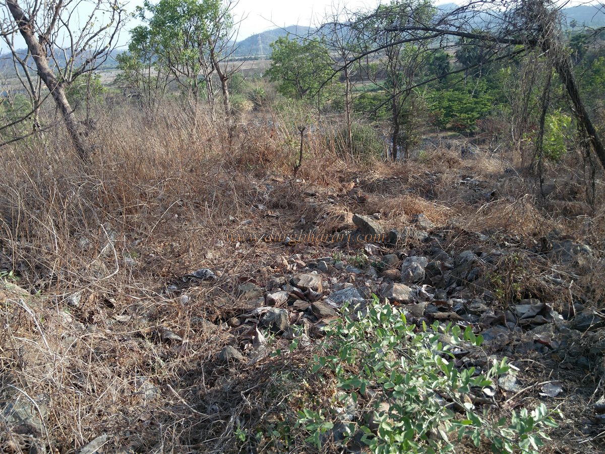
Since there is no readily available information about this fort and even the locals are unaware of its history, it is advisable to gather as much information as possible before visiting. The fort stood on a small hill about 50 feet high, covered with dense vegetation. Interestingly, locals do not recognize this as a fort.
...
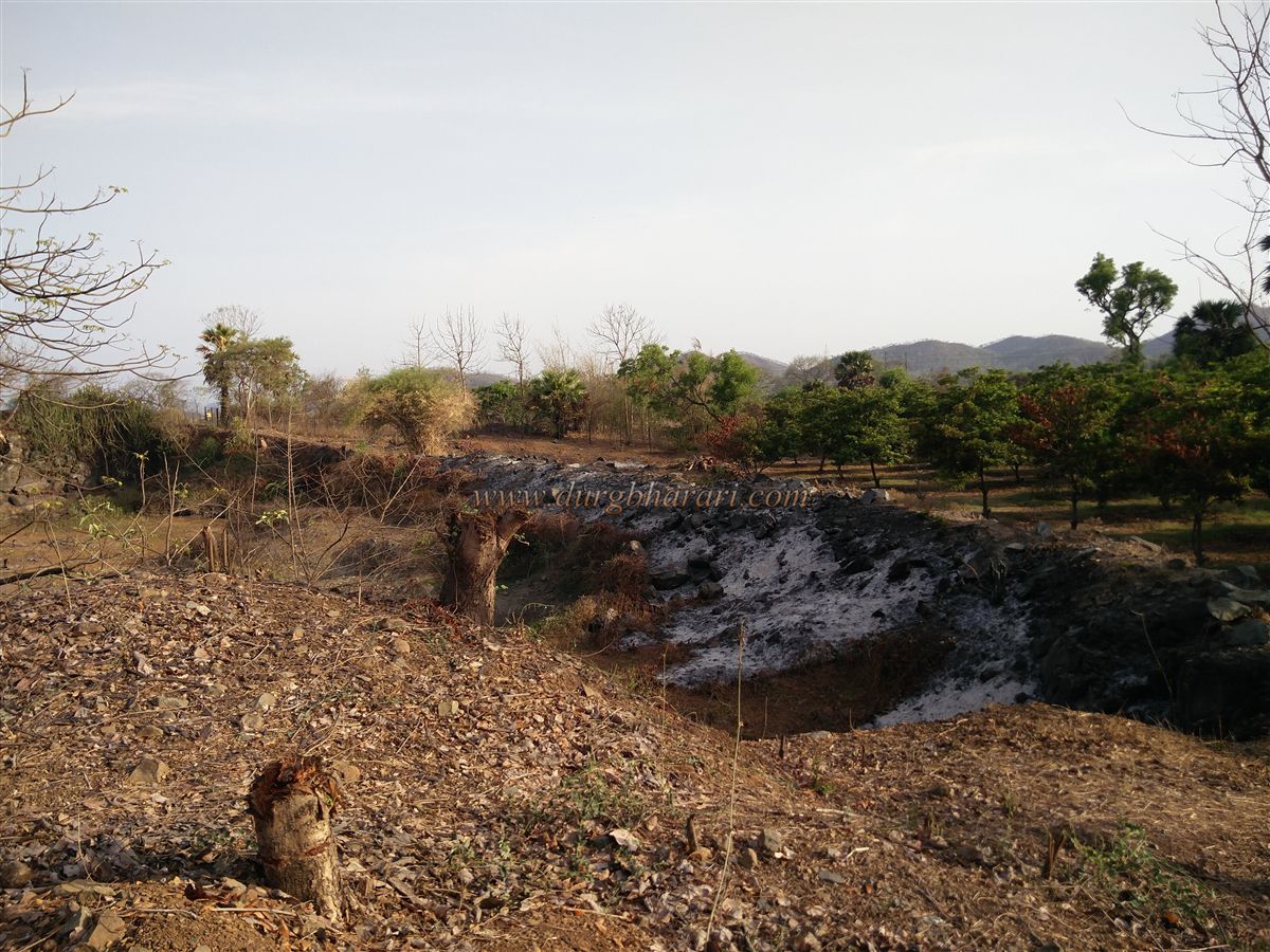
It is situated in the Phadke Wadi area of Sartodi village and is privately owned by the Phadke family, so their permission is required to visit the site. The base of the hill has now been converted into an orchard.
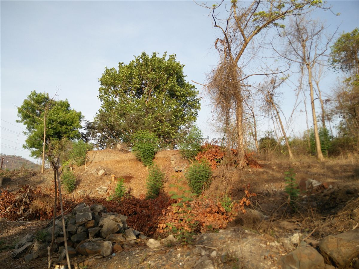
As one climbs up the hill, remnants of the fort become visible. Trees have overtaken most of the walls, their roots digging deep into the stonework. Compared to other Portuguese structures in the region, a relatively larger portion of the Sartodi fortification survived until recent times. The fort was square-shaped, with three sloping walls around 15 feet high, three semi-circular windows, and a platform still visible.
The construction involved undressed stones, clay, and lime mortar. Based on its size and remaining structures, it appears that this fort served as a residential, administrative, and watch post during the Portuguese era. On the southern side, at the foot of the hill, there is a carved rainwater reservoir, which was likely the source of building stones used in the fort’s construction.
This was a small fort that could be explored in about 15 minutes. The author first visited it in March 2014, but upon revisiting on 22 May 2017, found that the remaining structures had been completely demolished using force, erasing its last traces.
Although the fort no longer exists, its geographical location reveals its strategic significance — overseeing the creek and serving as a watch point for maritime activity. Along with other forts in the region, this was one of the Portuguese-built outposts. Using small forts, watchtowers, and long-range cannons, the Portuguese established their dominance over the northern Konkan maritime routes.
This outpost-style fort was likely constructed in the 16th century, with the primary purpose of guarding sea routes and supplying provisions to other forts in the region. In 1739, during the Maratha campaign against the Portuguese in Vasai, this region came under Maratha control, bringing an end to Portuguese presence here.
Today, visitors looking for a “fort experience” might be disappointed, as there are no surviving structures. However, for those interested in Portuguese maritime surveillance posts and their strategic geography, this site is well worth a visit.
© Suresh Nimbalkar
GALLERY