SARJEKOT-SINDHUDURG
TYPE : COASTAL FORT
DISTRICT : SINDHUDURG
HEIGHT : 0
GRADE : EASY
Sindhudurg district derives its very identity from the Sindhudurg fort. It is said that visiting Malvan without seeing Sindhudurg is like visiting a temple without seeing the deity. Therefore, tourists coming here make it a point to visit Sindhudurg fort. However, just as many forget the custom of paying respects to Nandi or the turtle before entering a temple, the smaller forts surrounding Sindhudurg are often overlooked. When Chhatrapati Shivaji Maharaj built Sindhudurg fort, he also created a chain of outposts—Padmagad, Rajkot, and Sarjekot—for its defense. While tourists flock to Sindhudurg, these secondary forts remain neglected and deserted.
Though Malvan was a port, its location in the open sea made it less convenient during the monsoons. The Gad River, originating in the Sahyadri, is known as the Kalaval Creek in Konkan.
...
At the mouth of this creek, a natural shoal called Bhushir slows the water flow and reduces wave intensity, making it an ideal place to anchor the Maratha navy during the rainy season. To aid and protect this naval base, Sarjekot was constructed at the mouth of Kalaval Creek, about 2.5 miles north of Sindhudurg.
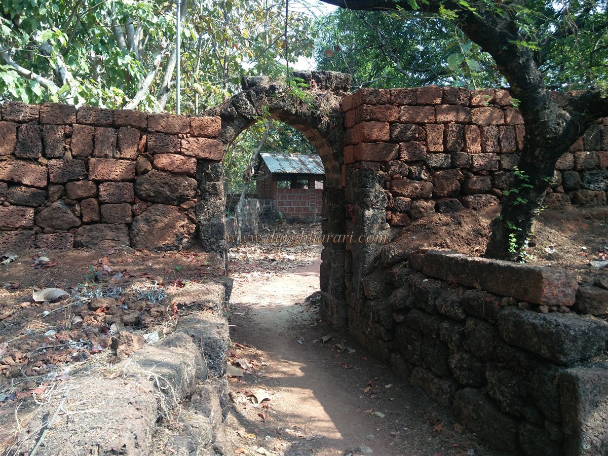
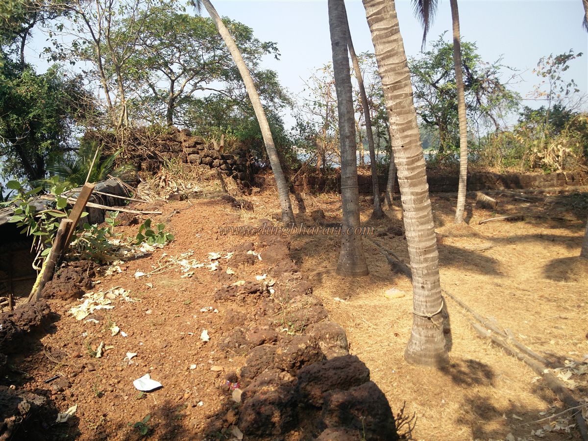
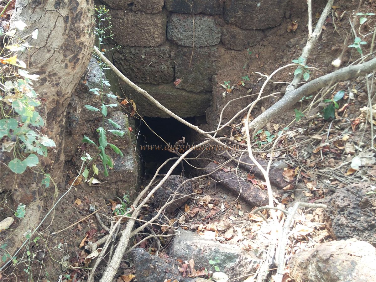
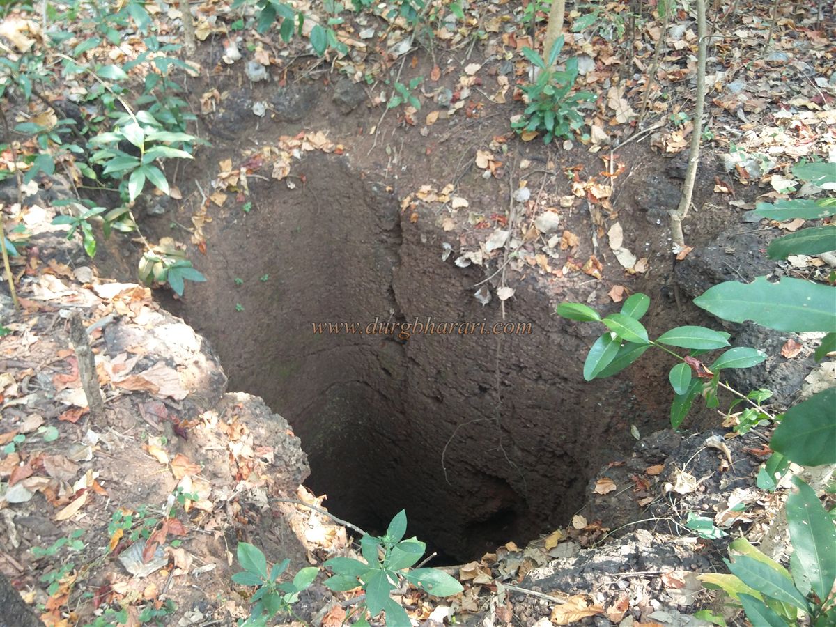
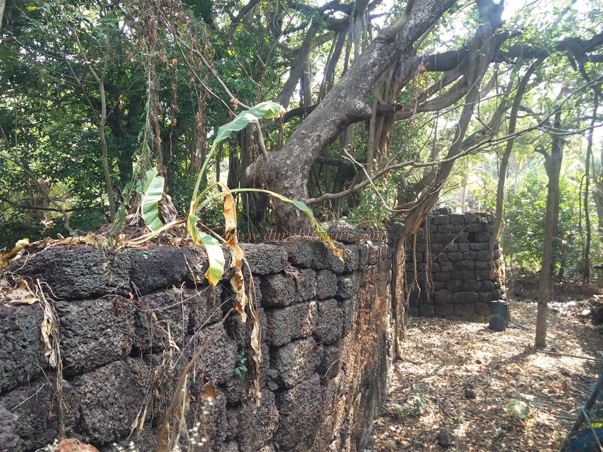
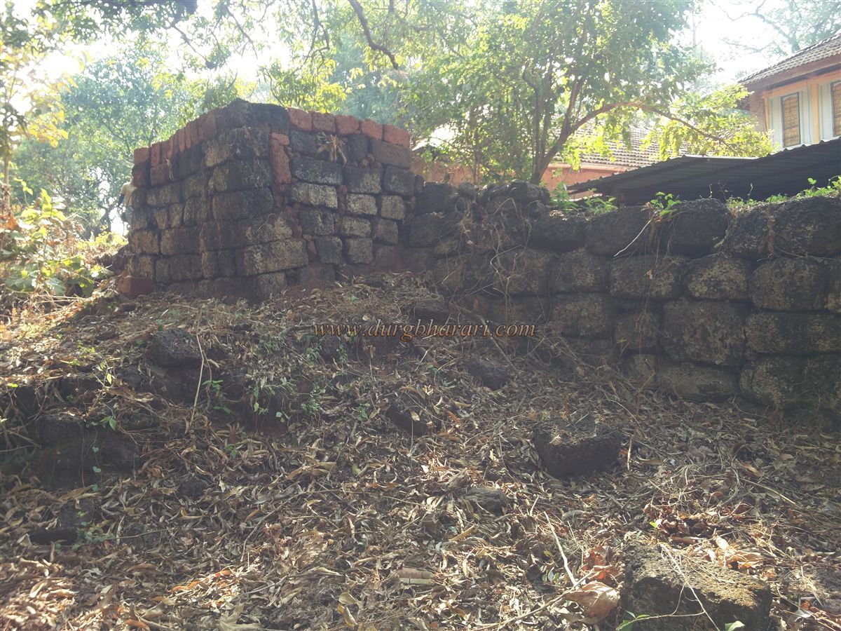
To visit Sarjekot, one must reach Kolamb village, located 4 km from Malvan on the Malvan–Achara road. From the village, heading toward the jetty, a small road to the left leads to the fort’s arched entrance. Inside the gate, there are platforms on both sides for guards and, to the right of the path, a small now-silted water tank. Further along the path, a descending way into the walls is visible, though its purpose is unclear. To the left of the entrance are three houses, as Sarjekot is under private ownership. The owners have converted much of the fort’s interior into a coconut plantation, flattening many of the original structures. One of these houses has a well, which still provides water for use today.
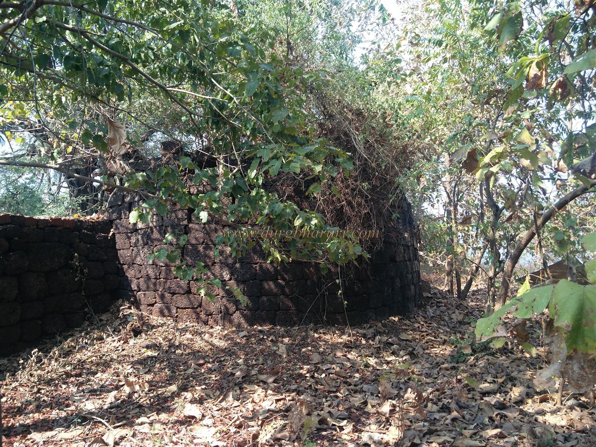
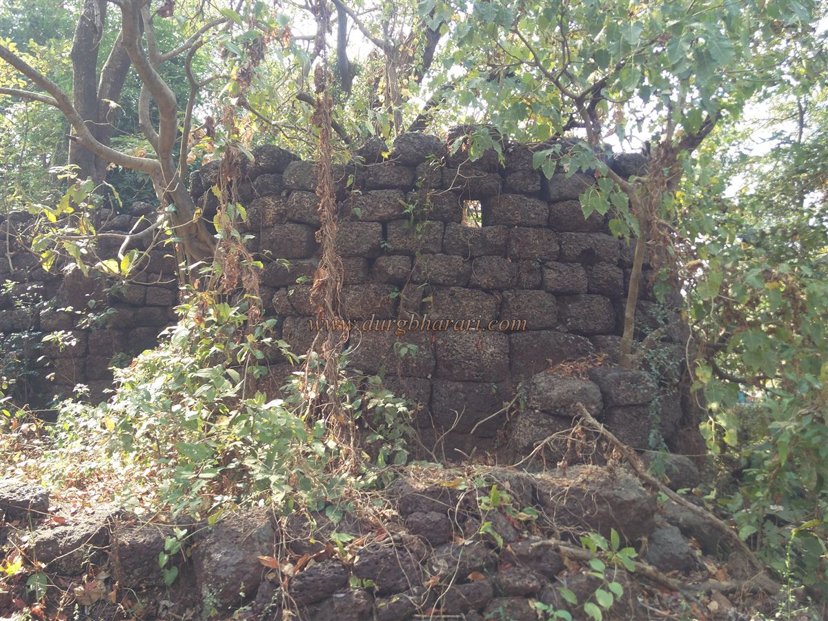
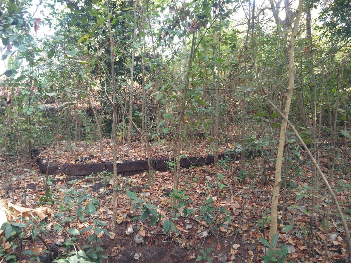
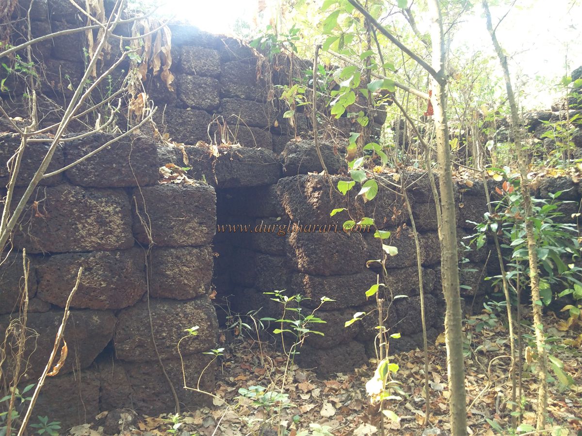
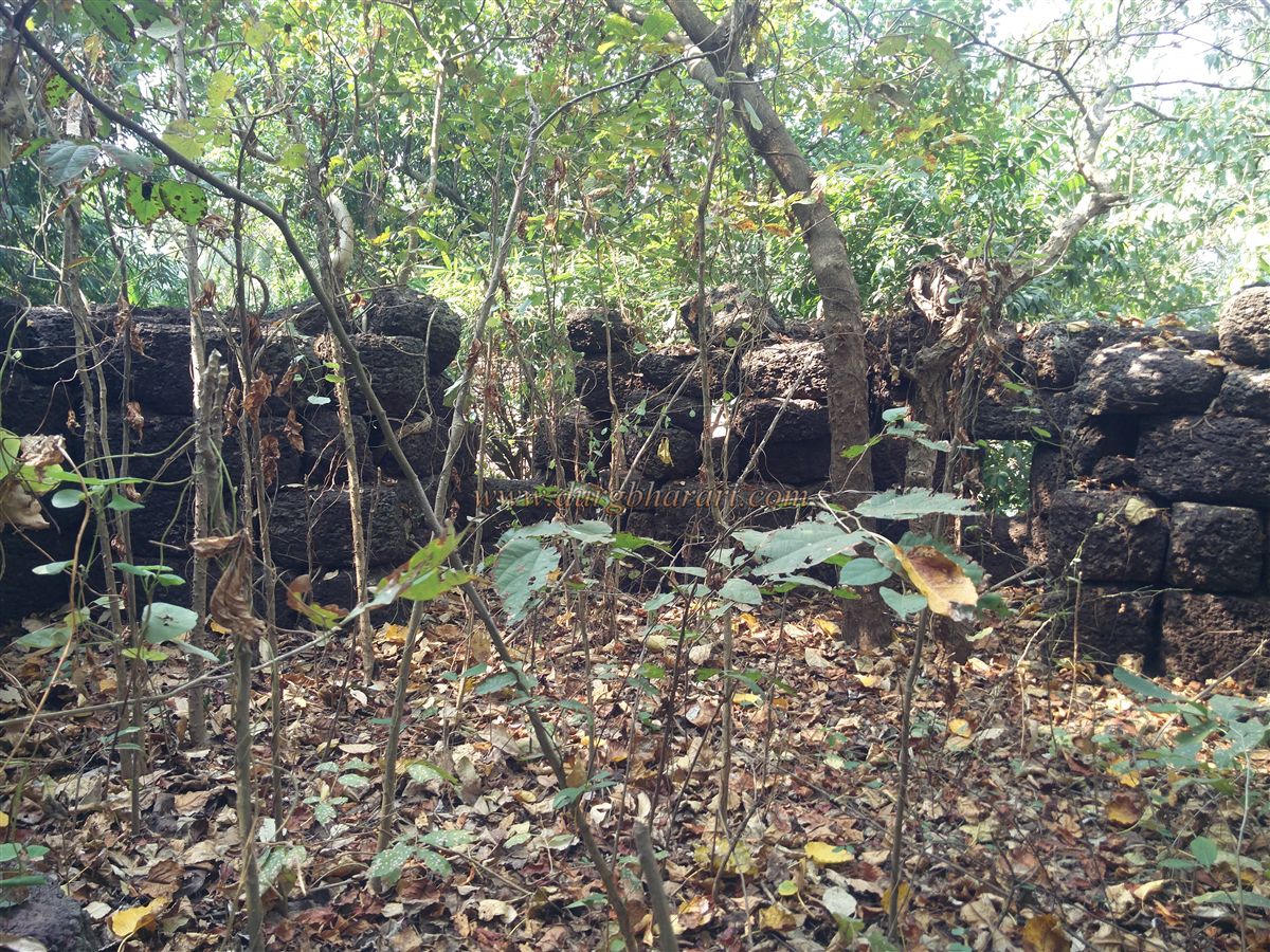
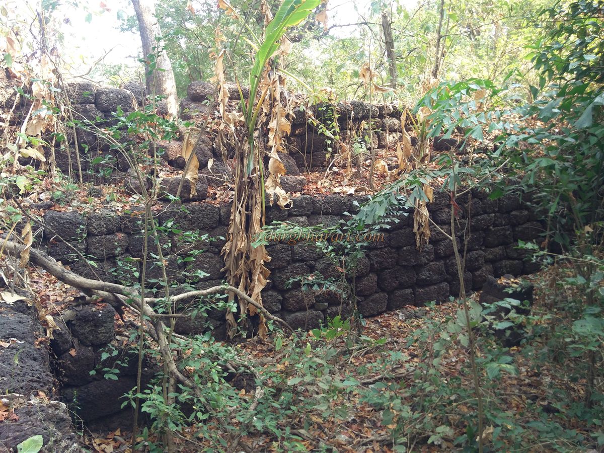
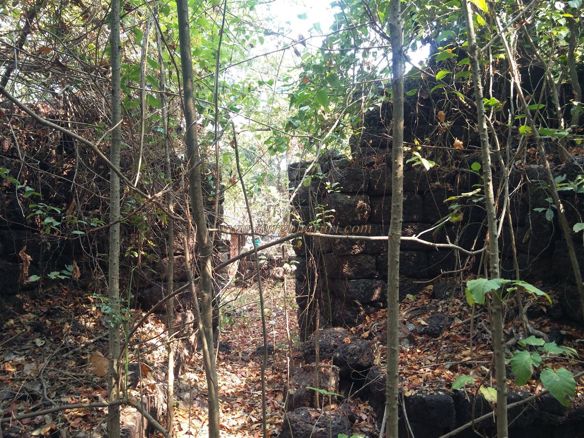
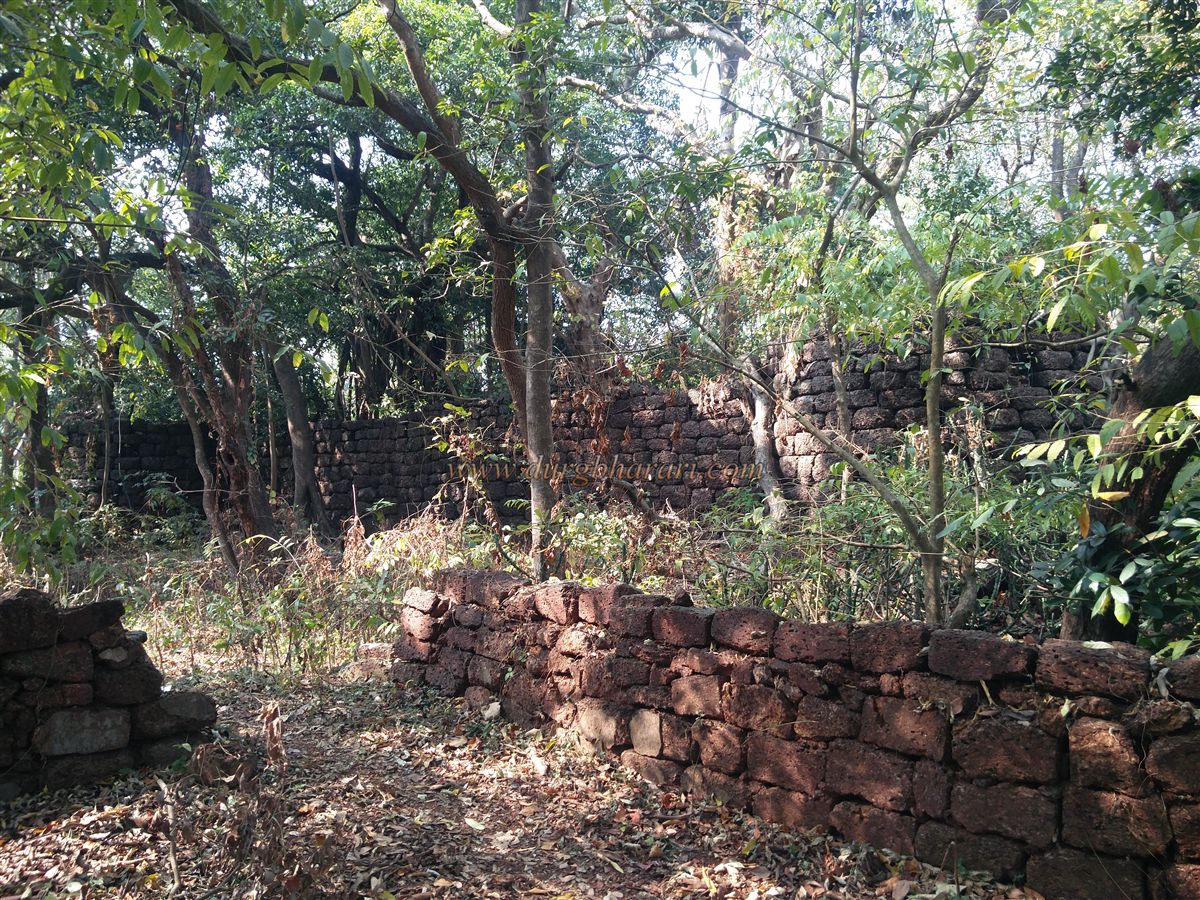
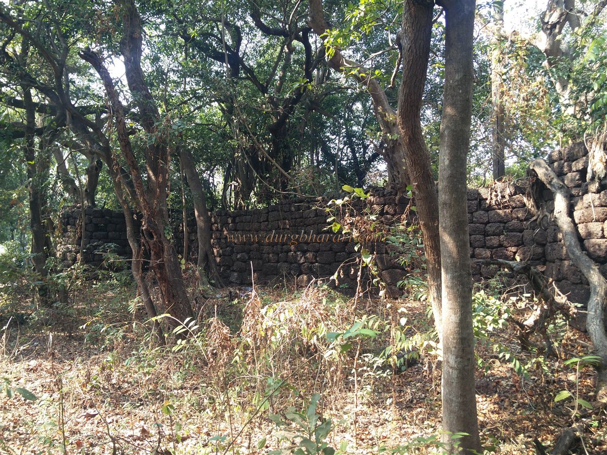
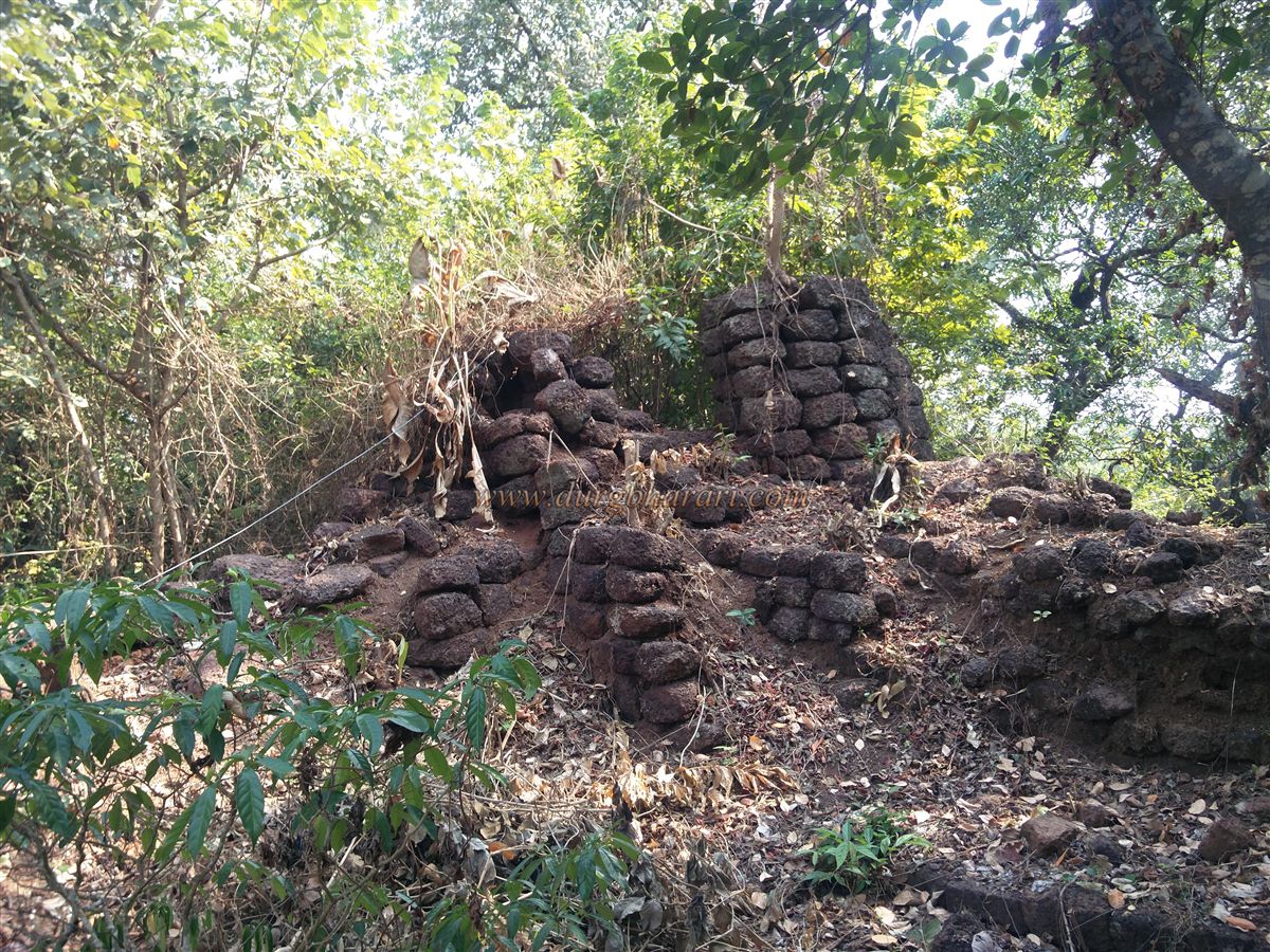
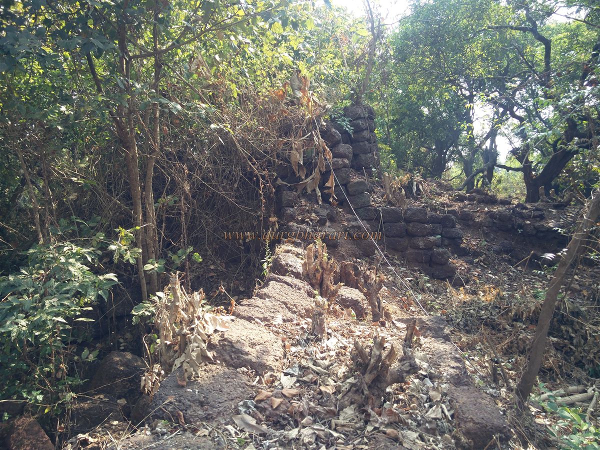
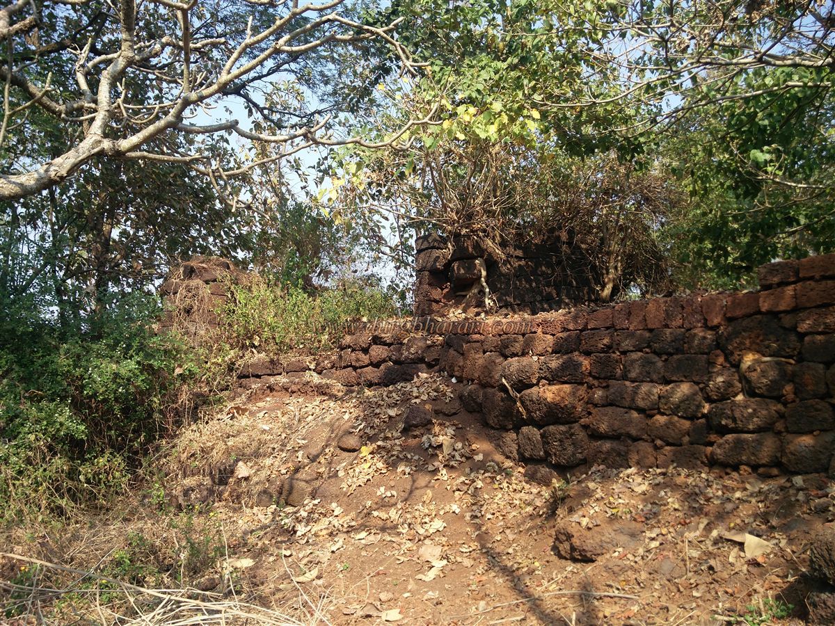
The fort, roughly square in shape, covers about two acres and is divided into the inner citadel (Balekilla) and the outer fort. Surrounded by the sea on one side and land on three, the citadel occupies one end of the fort. Sarjekot has a total of ten bastions—four within the citadel walls and three facing the sea. One of the bastions is square-shaped and appears to have been reconstructed after the original collapsed. Historical accounts suggest the fort once had a 10-foot-wide and 10-foot-deep moat on three sides, though now only the moat outside the citadel walls remains visible.
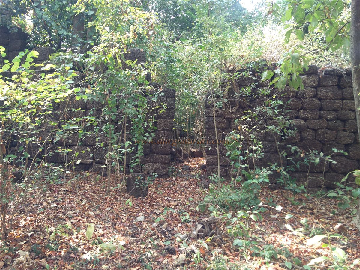
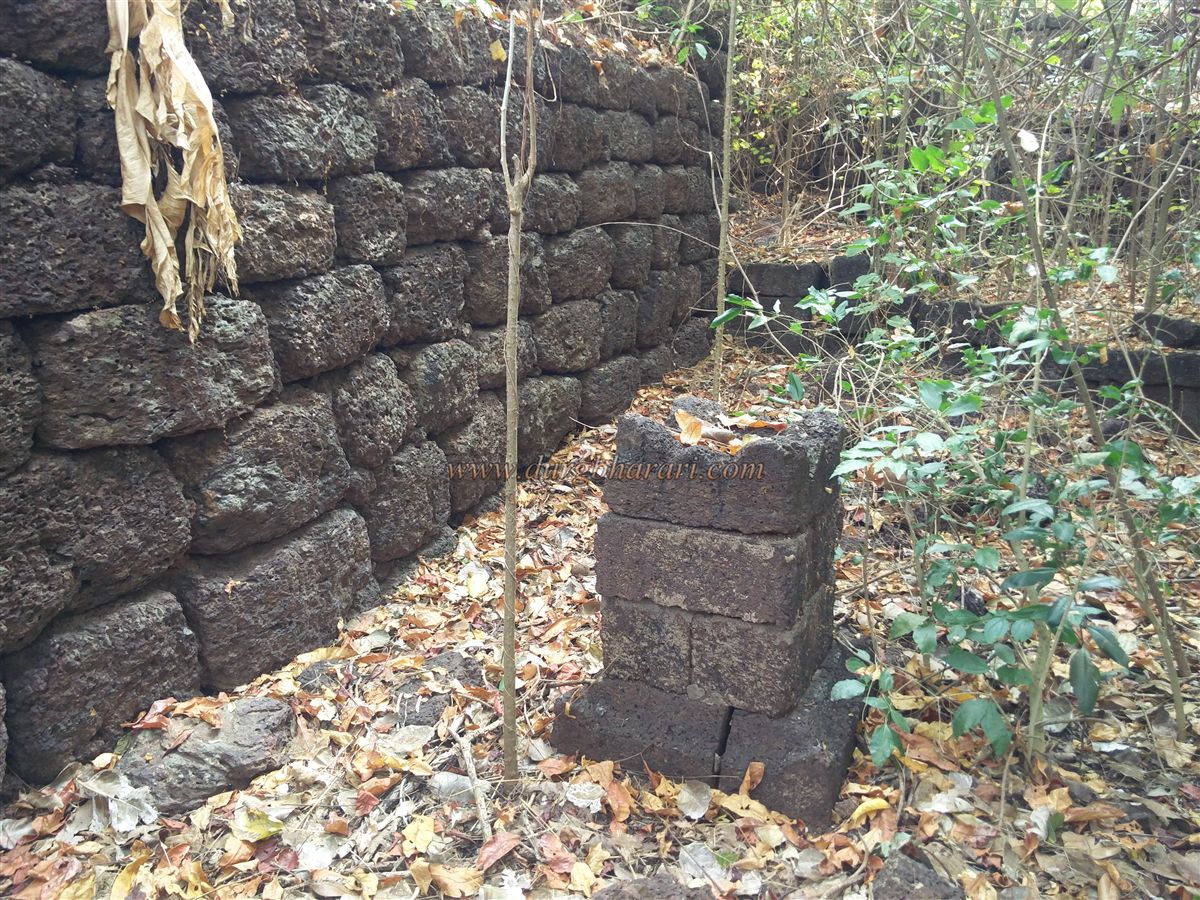
The fort was built using dressed laterite stone without any binding mortar. Except for two bastions and parts of the outer walls, most of the structure remains intact. A narrow passage from the house’s courtyard leads into the citadel, with no evidence of a proper gate at this point. Inside the citadel are a well, a Tulsi Vrindavan (sacred basil shrine), and the remains of a house foundation. There is also a latrine and a staircase leading to the ramparts, allowing visitors to walk along the walls. Despite overgrowth of thorny bushes inside, the bastions and walls of the citadel are in good condition. The walls feature gun slits for musket fire, while the bastions have large embrasures for cannons.
It takes about an hour to explore the fort fully. Sarjekot was built between 1664 and 1667, alongside Sindhudurg. In 1763, when the Portuguese attacked Sindhudurg, records mention 200 Maratha soldiers and six cannons stationed on a nearby small fort, likely Rajkot or Sarjekot. Under the treaty of October 1, 1812, between the British and the Karvir (Kolhapur) state, Sarjekot and Sindhudurg came under British control. A British survey in 1862 described Sarjekot, located in the limits of Rundi village, as having moats on three sides but noted that its walls had fallen into disrepair.
© Suresh Nimbalkar
GALLERY