SALOTA
TYPE : HILL FORT
DISTRICT : NASHIK
HEIGHT : 4740 FEET
GRADE : HARD
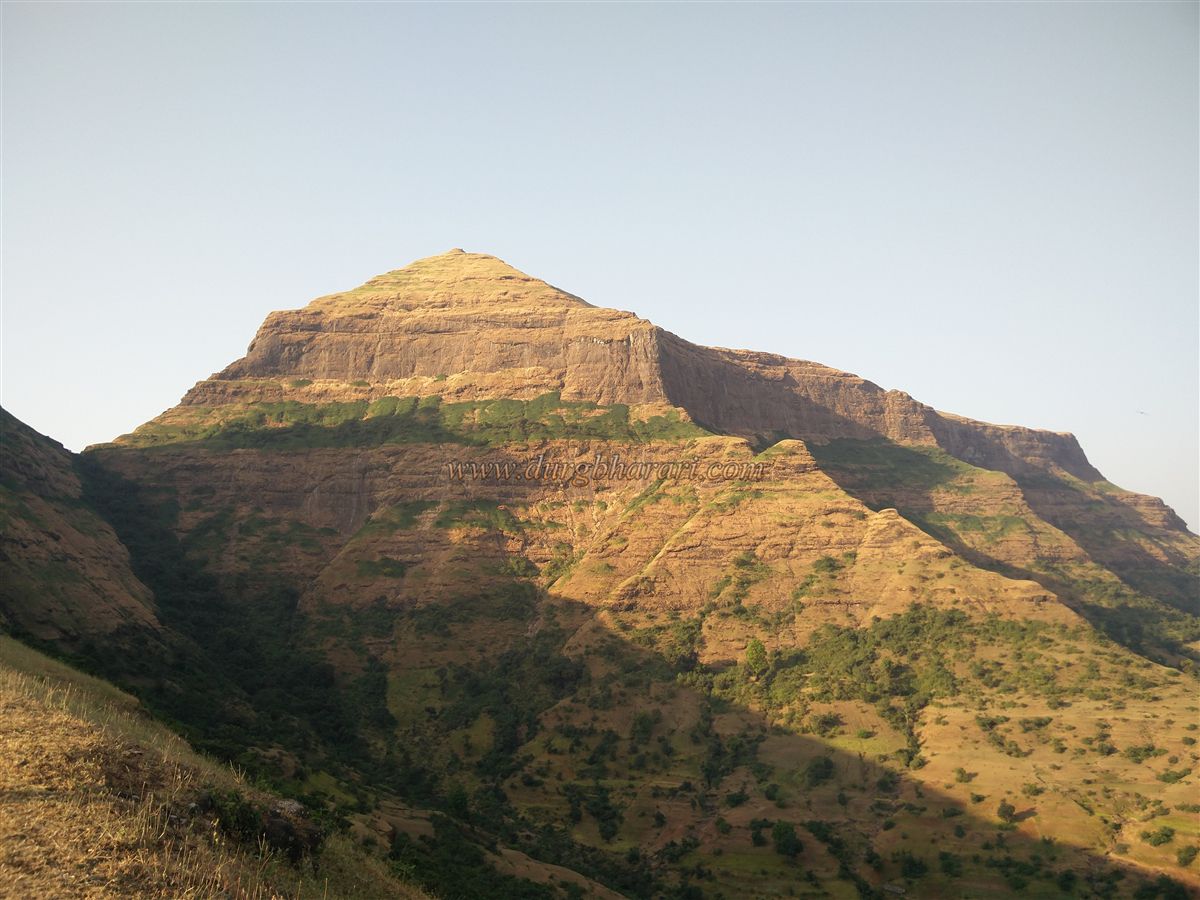
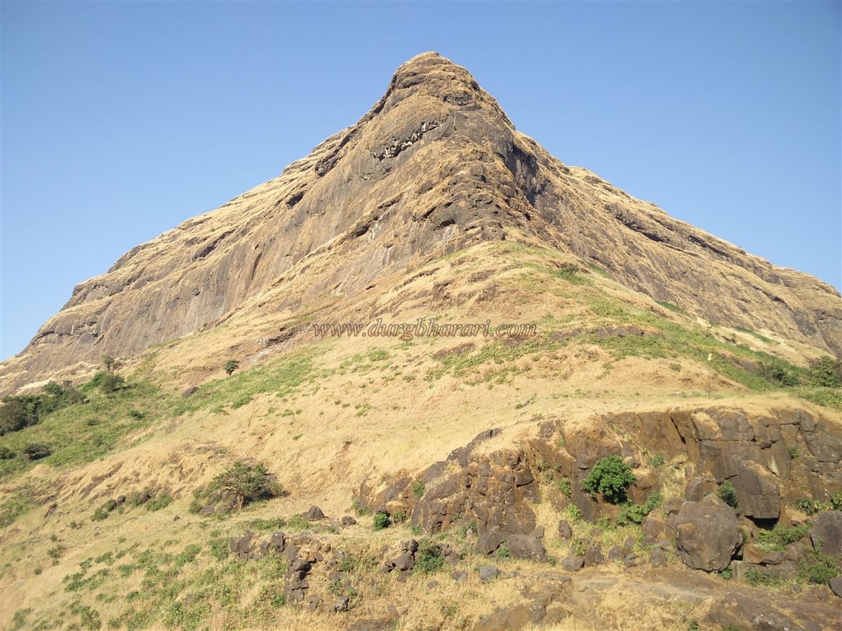
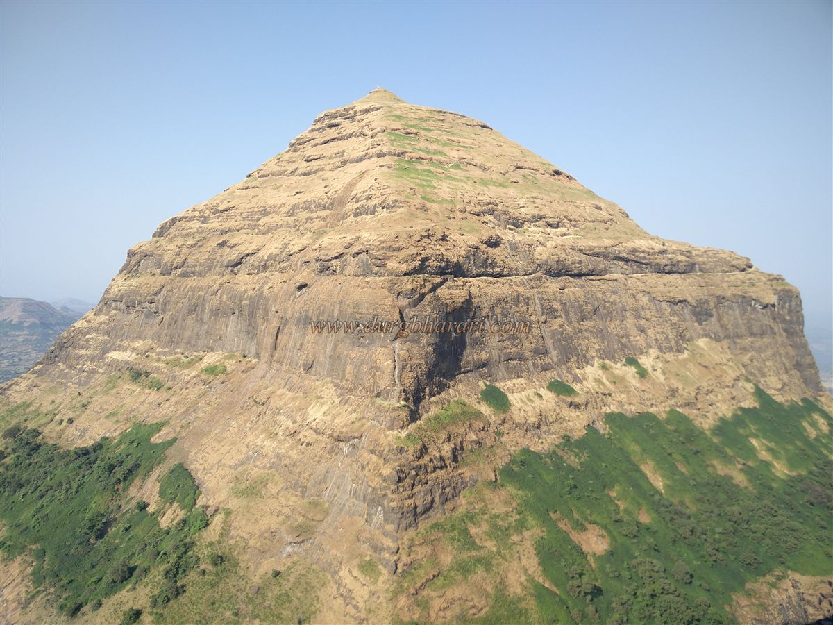
Among Maharashtra’s twin-fort trekking destinations, the Salher–Salota pair in the Dolbari mountain range of Nashik district ranks at the very top. Of these, Salher Fort is the tallest fort in Maharashtra, while its companion Salota Fort ranks second in height. Though trekkers frequently visit Salher due to its prominence, Salota remains largely ignored, as it is often said to have very few remnants. But this is far from the truth – Salota is also rich in ruins and architectural features worth exploring.
Situated on the border of Baglan in Maharashtra and the Dang region of Gujarat, these two forts are separated by only a narrow pass (Khind). While the only approach to Salota is through this pass, one can reach the pass itself via three villages: Salher wadi, Maldaur, and Waghamba. For those wishing to explore both forts together, the route from Waghamba proves the most convenient.
...
This allows trekkers to climb Salota first, cross through the pass to reach Salher, explore it, and finally descend towards Salher wadi. Starting early in the morning makes it possible to comfortably explore both forts in a single day with minimal effort.
Waghamba, located at the northern foothill of Salota, is about 134 km from Nashik and 45 km from Satana (via Taharabad). From the small Saptshringi temple on the left side of the road in Waghamba, a trail leads toward the Salher–Salota pass. As there is no water source on the way until the fort top, trekkers must fill water at the tank where vehicles are parked. It takes about 1.5 hours to reach the pass and another 2.5 hours to reach the fort.
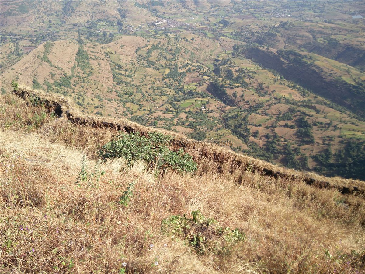
From Waghamba, the right-hand spur of Salota descending toward the village is clearly visible. This spur is the route to the pass. The trail is well-worn due to the high number of trekkers heading to Salher. On the upper plateau of the spur are ruins that likely served as outposts to monitor the path to the pass. As you progress, rock-cut steps appear along the trail. From here, the fort’s ramparts, bastions, and a gateway perched on the edge of the cliff become visible.
Another route once led to the fort from the opposite end, but it has now completely collapsed. The remains of this approach can be seen as a depression below, but the path is inaccessible from either above or below. This gate can only be viewed from this side trail. Shortly before the pass, to the right of the path, a small rock-cut cistern holds water until January.
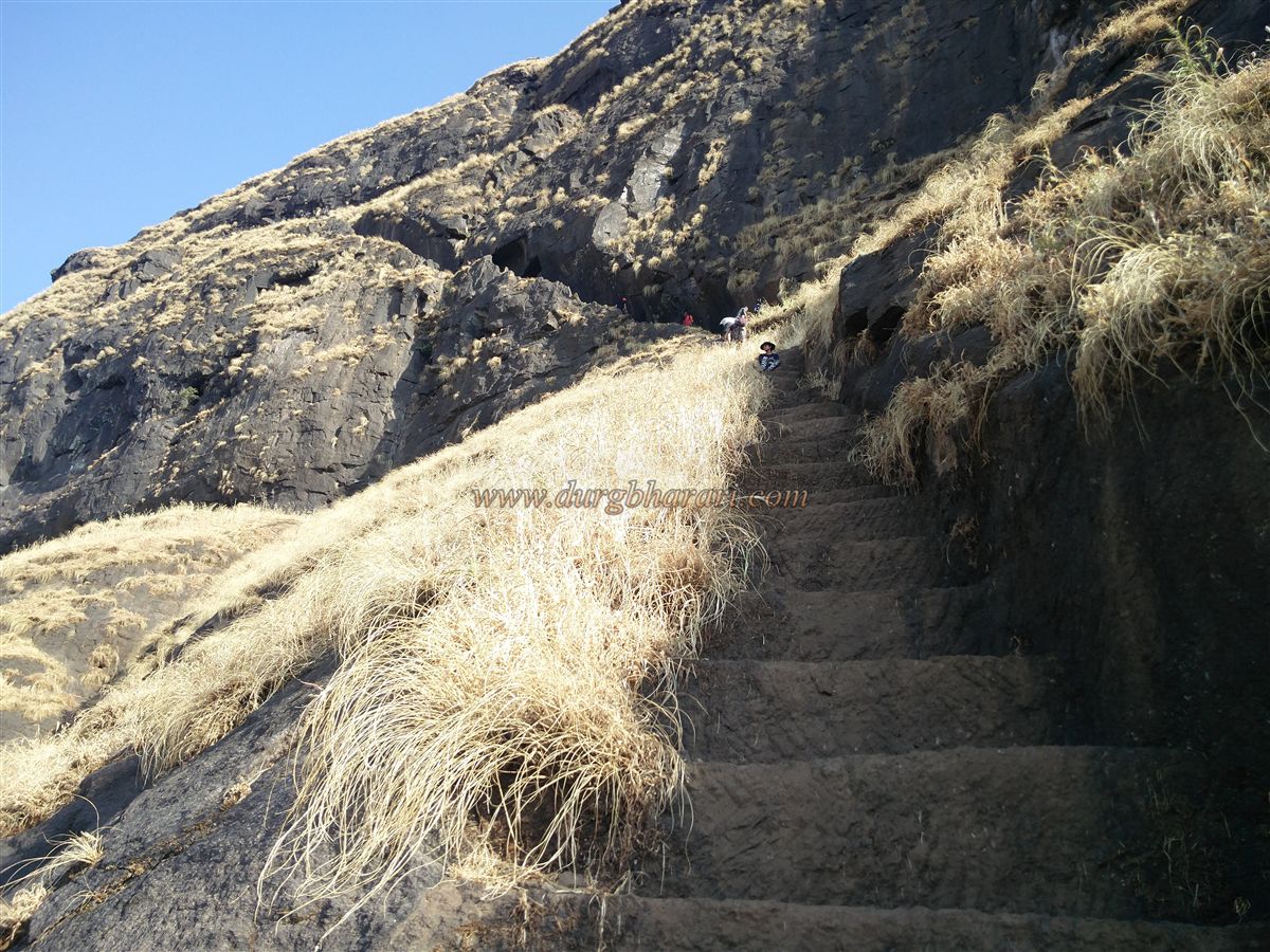
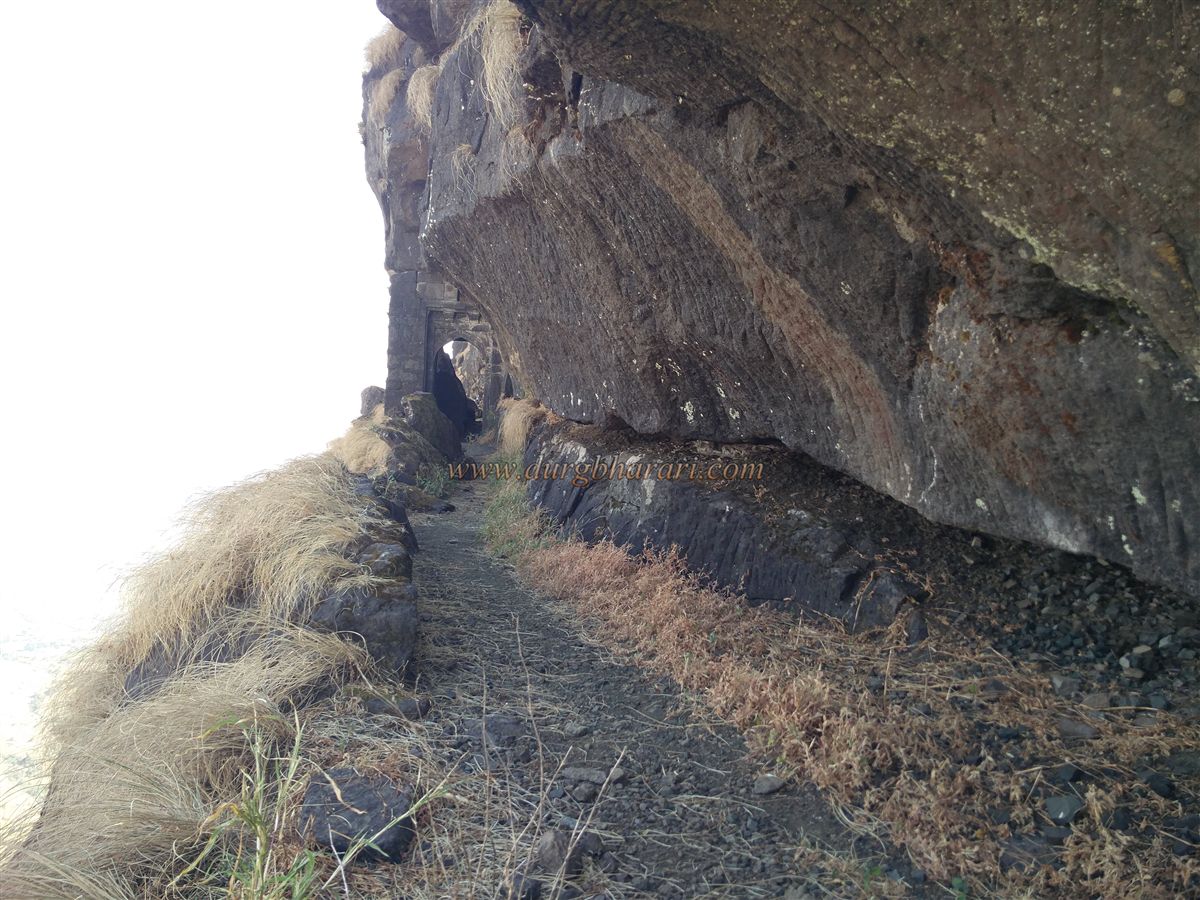
Upon reaching the pass, the right path climbs to Salher, while the left, narrower trail winds around Salota’s slope. This trail requires caution due to its narrow and slippery sections. After about 10 minutes, a rock wall with carved steps and the first gate of the fort appears. Nearby are ruins, including carved footprints (paduka) and a shivling, indicating this may have been a guard outpost.
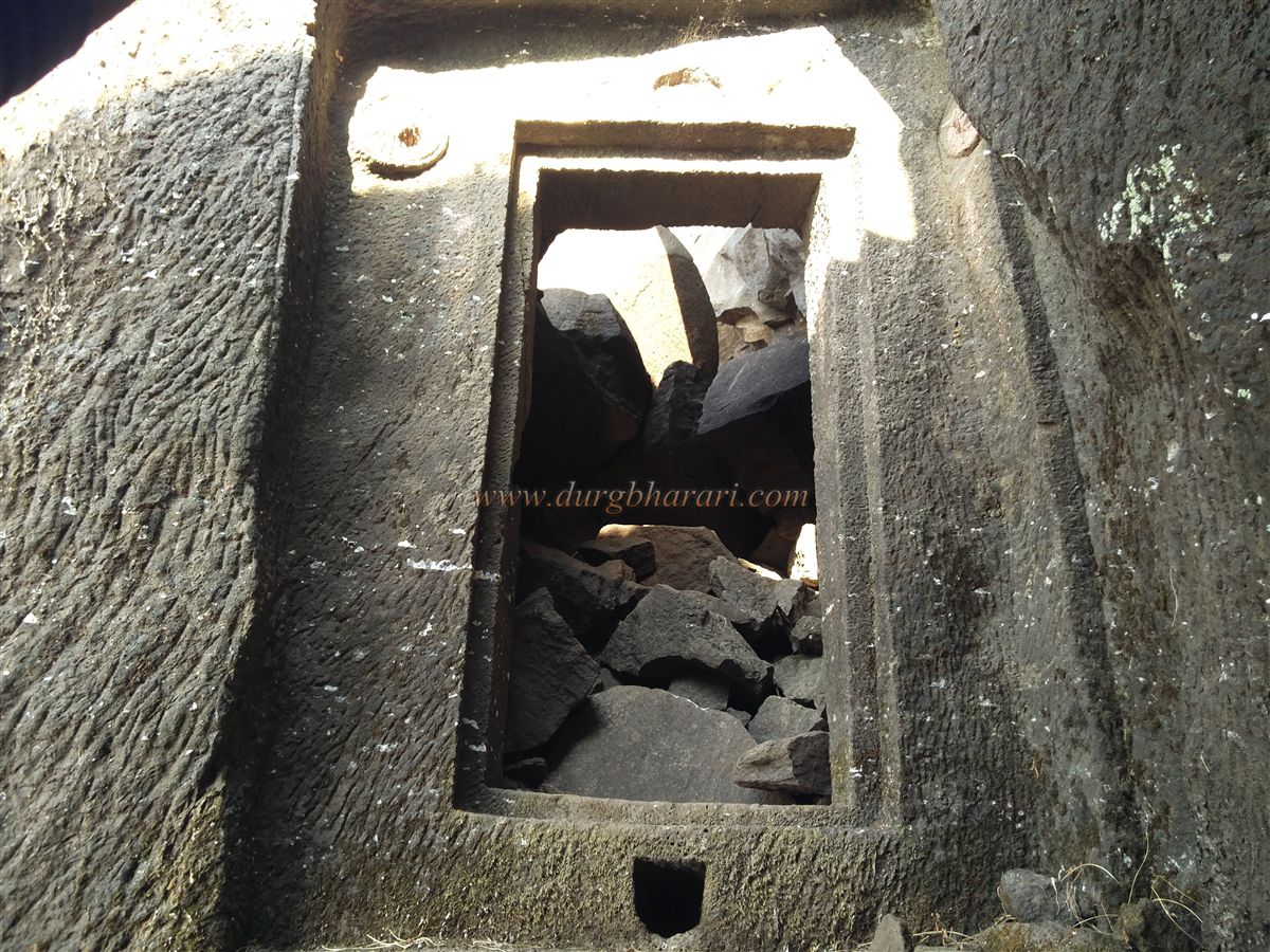
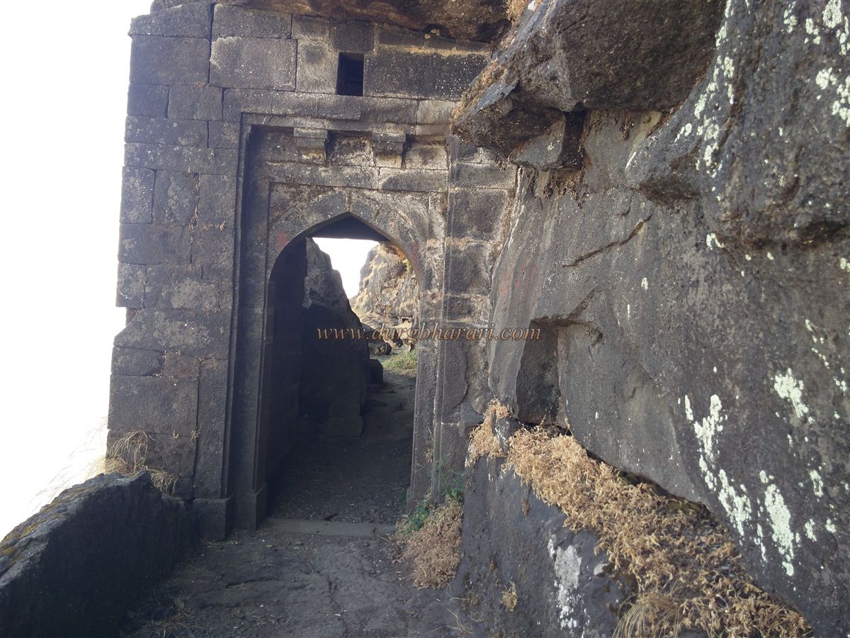
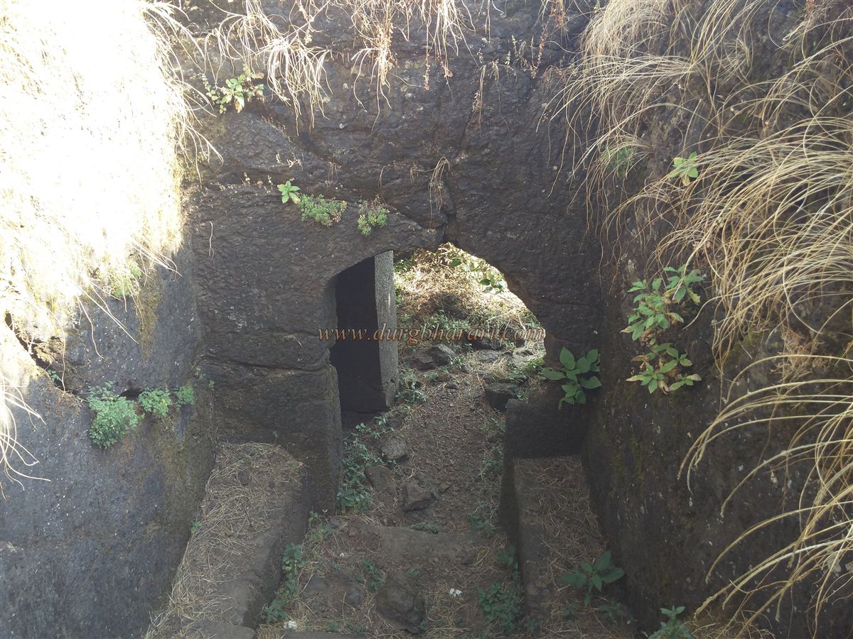
The final ascent involves 50–60 rock-cut steps, 2–3 feet high and 5–6 feet wide, carved at a steep 70-degree angle. These steps curve sharply at one point and lead to the main fort entrance, a beautifully carved rock-cut gateway facing west. Its outer frame features lotus carvings on either side or a Ganesh idol at the top. Inside the gate are two large rock-cut guard chambers. However, part of the rock ceiling above has collapsed, requiring climbers to scramble over the debris to gain entry.
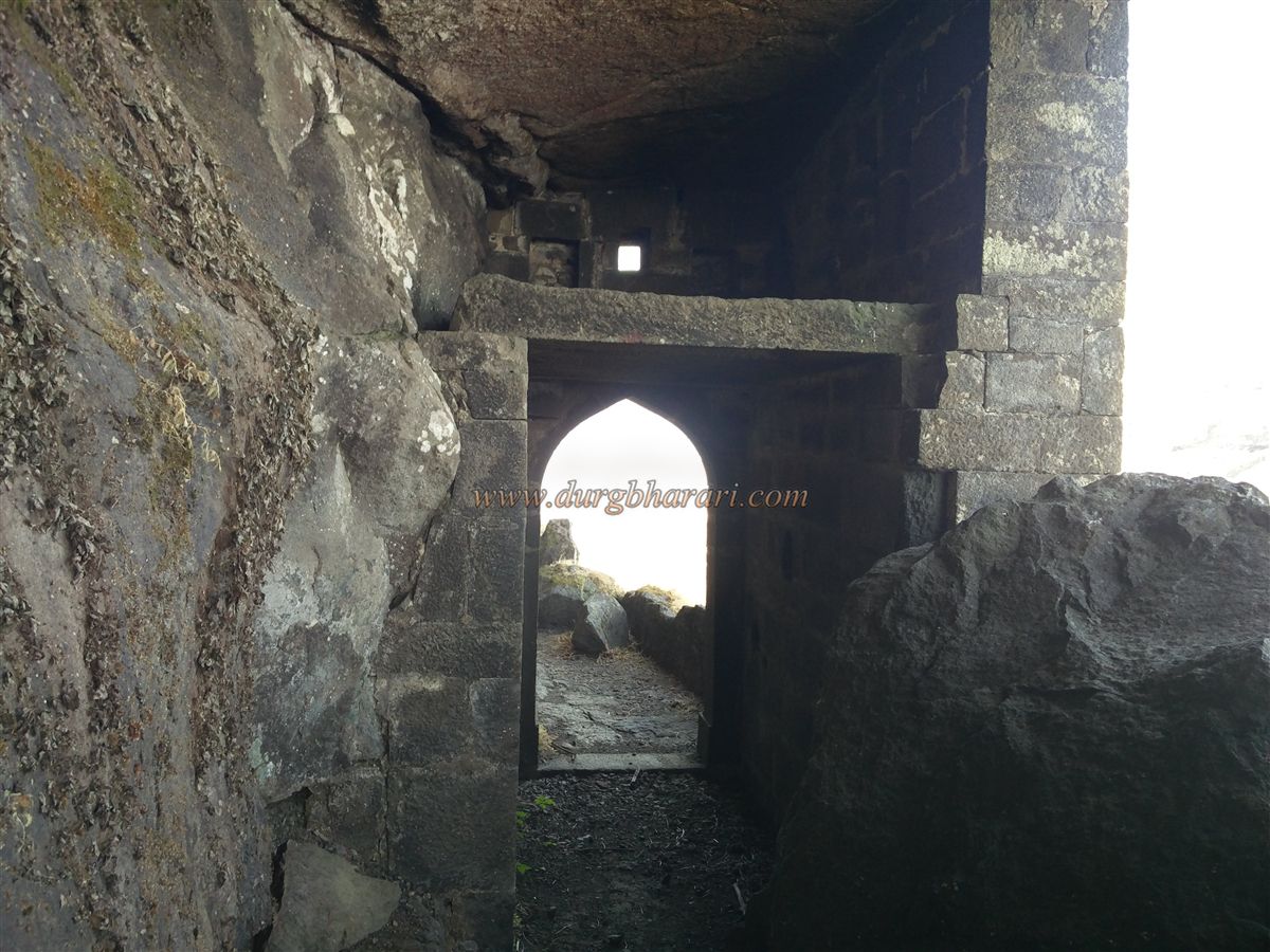
Beyond the gate, the trail skirts the entire western edge of the fort before turning northward to reach a second, north-facing gate, built with dressed stone. Unlike typical gateways, no guard chamber (devdi) stands beside it; instead, stone platforms above the gate likely served as sentry posts.
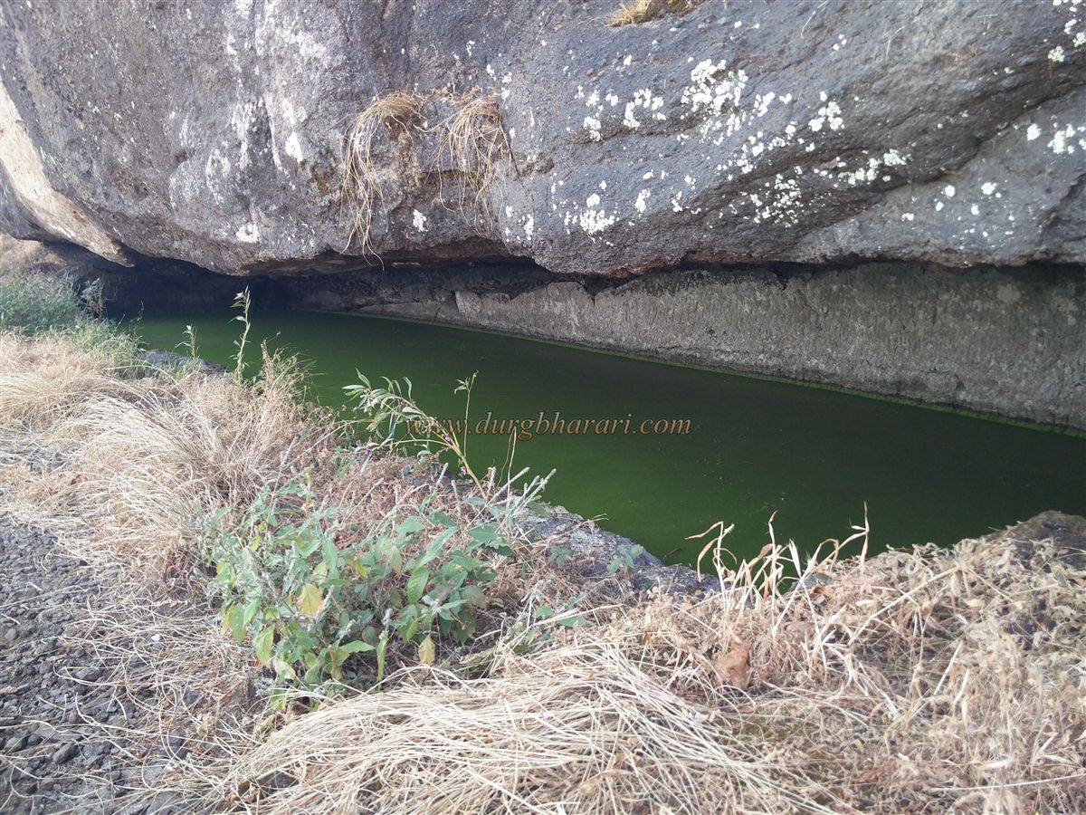
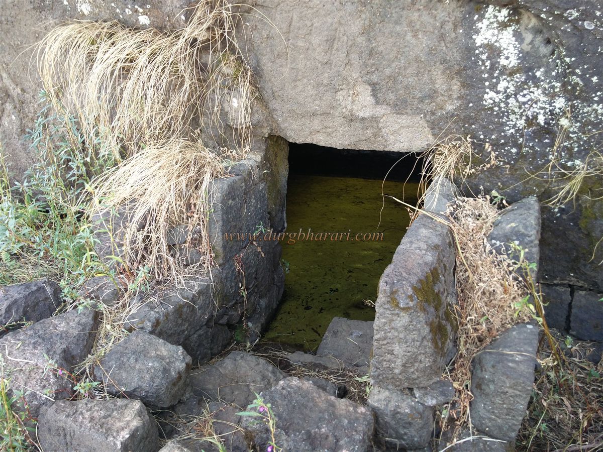
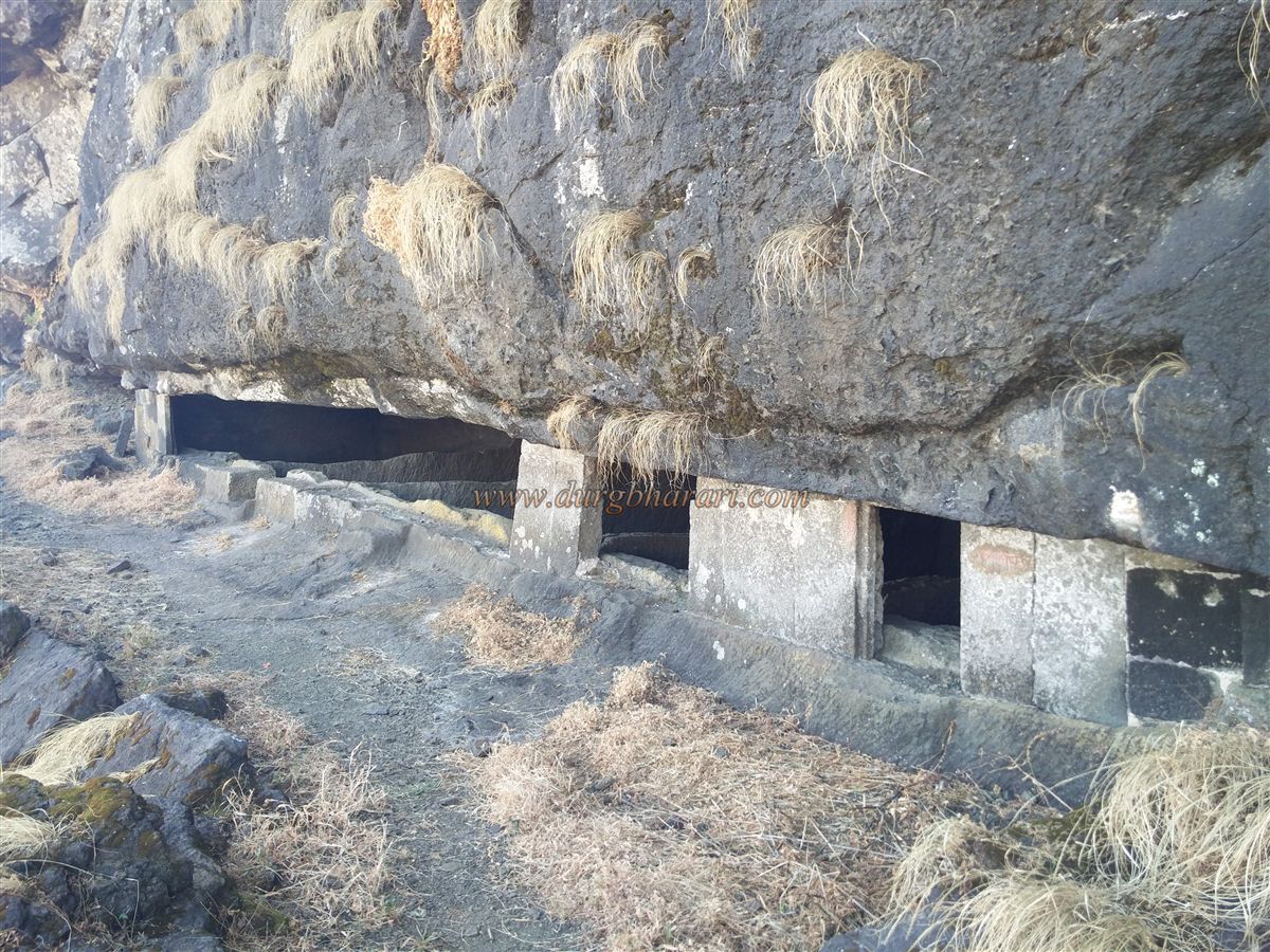
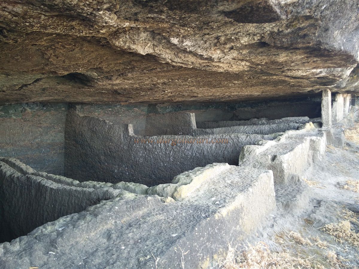
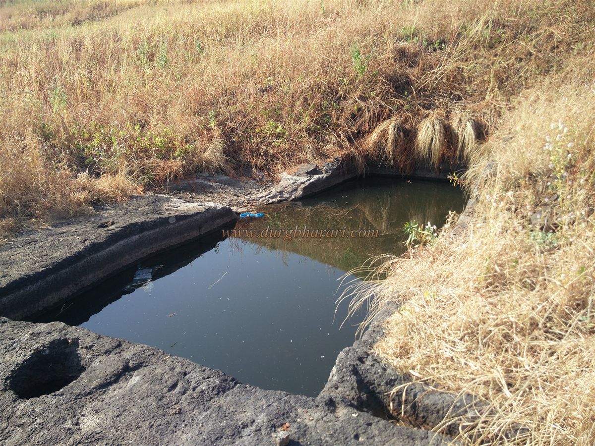
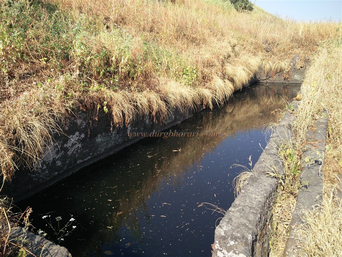
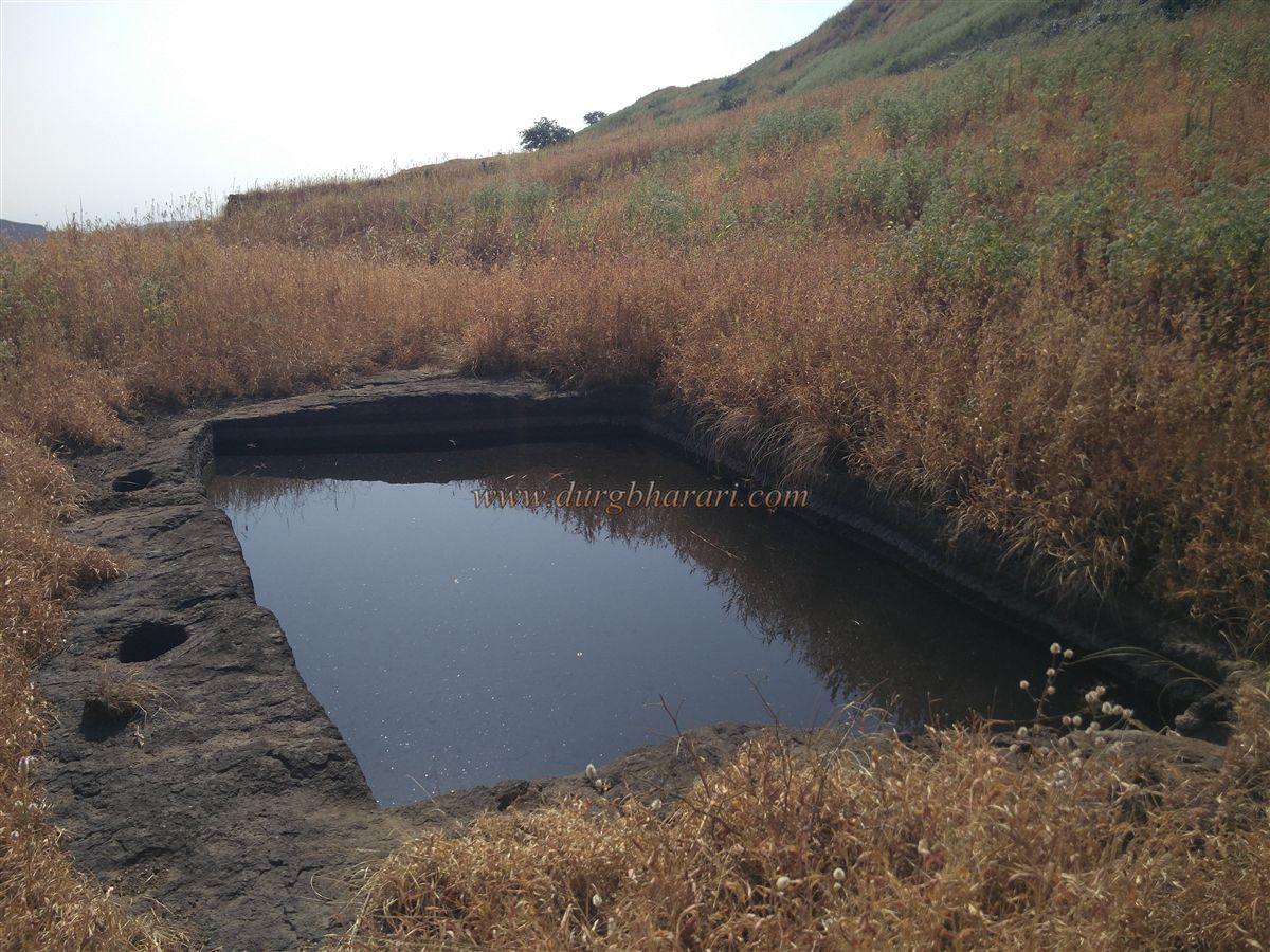
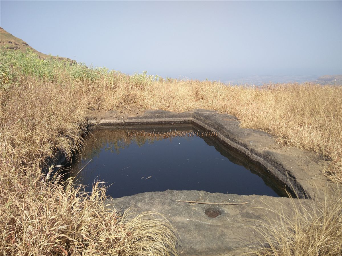
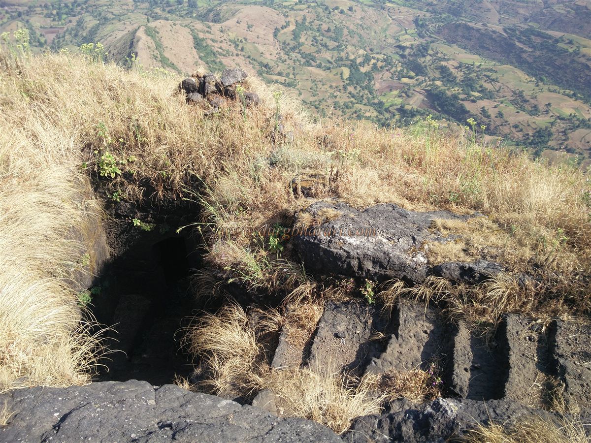
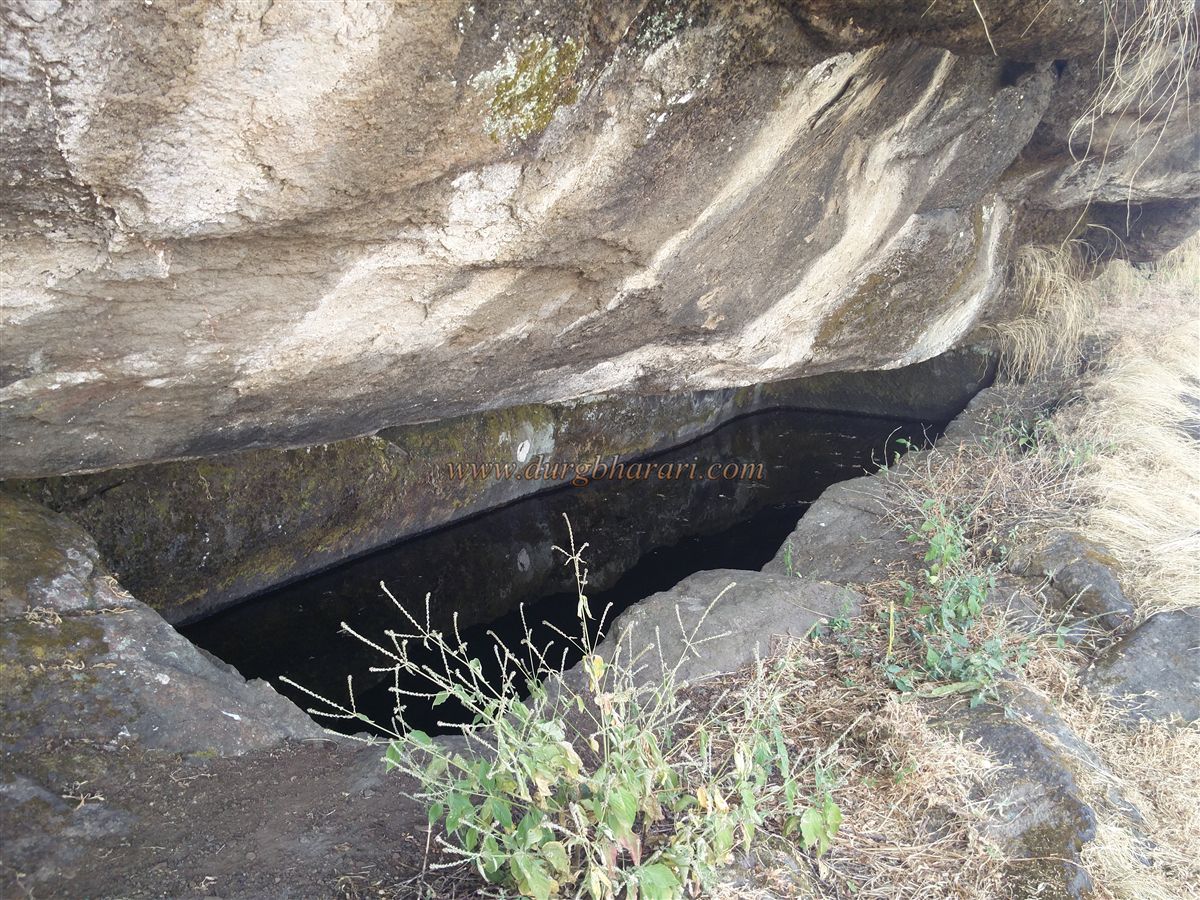
Further along the trail are two rock-cut water tanks – one open and one enclosed – but their water is not potable. Nearby are open and closed-mouth rock-cut caves. At the point where the path turns northward, a large section of the cliff has collapsed, possibly hiding the remains of another gateway. Scrambling over these fallen rocks brings you to the next section of the fort.
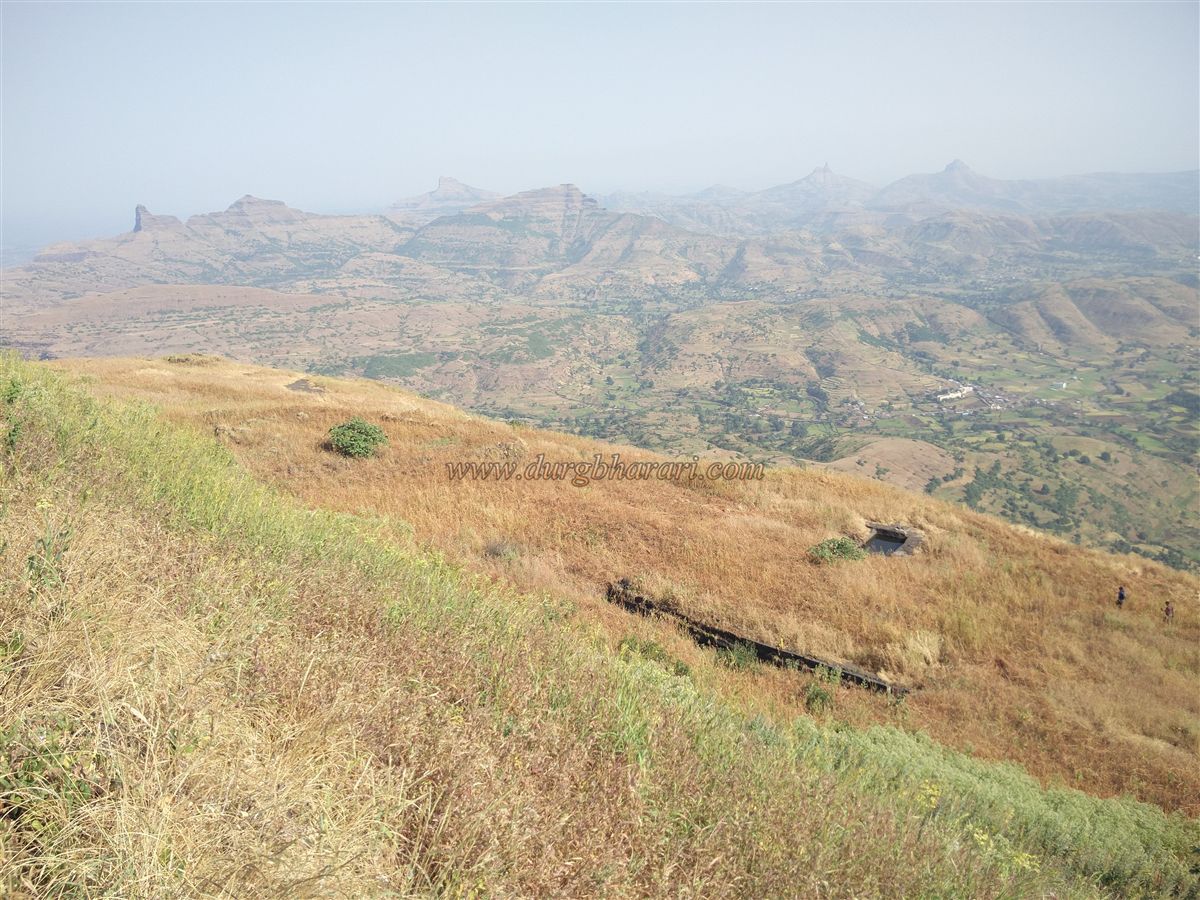
From here, a right turn leads to a rock-cut third and final gate facing east, giving access to the fort’s triangular summit, spread across roughly 10 acres at 4,550 feet above sea level.
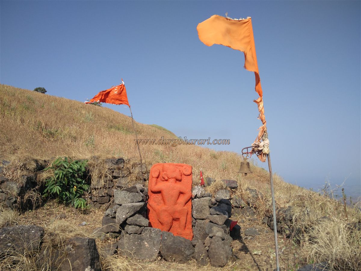
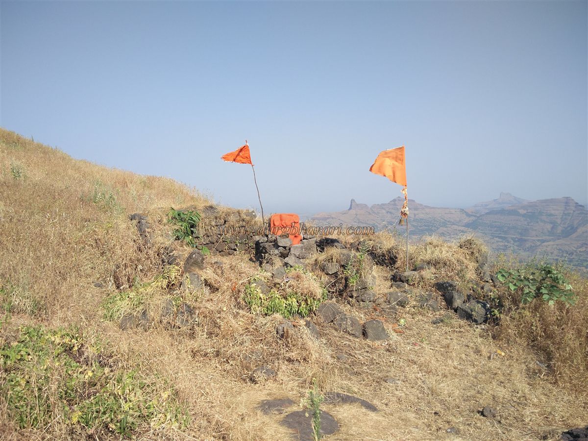
Before exploring the upper knoll, a path to the eastern tip of the fort reveals a long rock-cut water tank, a large platform that may have once held the commander’s mansion (killedar wada) or the administrative court (sadar), and another water-filled tank. At the far end, a dilapidated structure houses a Hanuman idol coated with vermillion, and nearby, large sections of the eastern ramparts with surviving loopholes (fanji) can be seen. Beneath this lies another gateway, though access is blocked by a collapsed path.
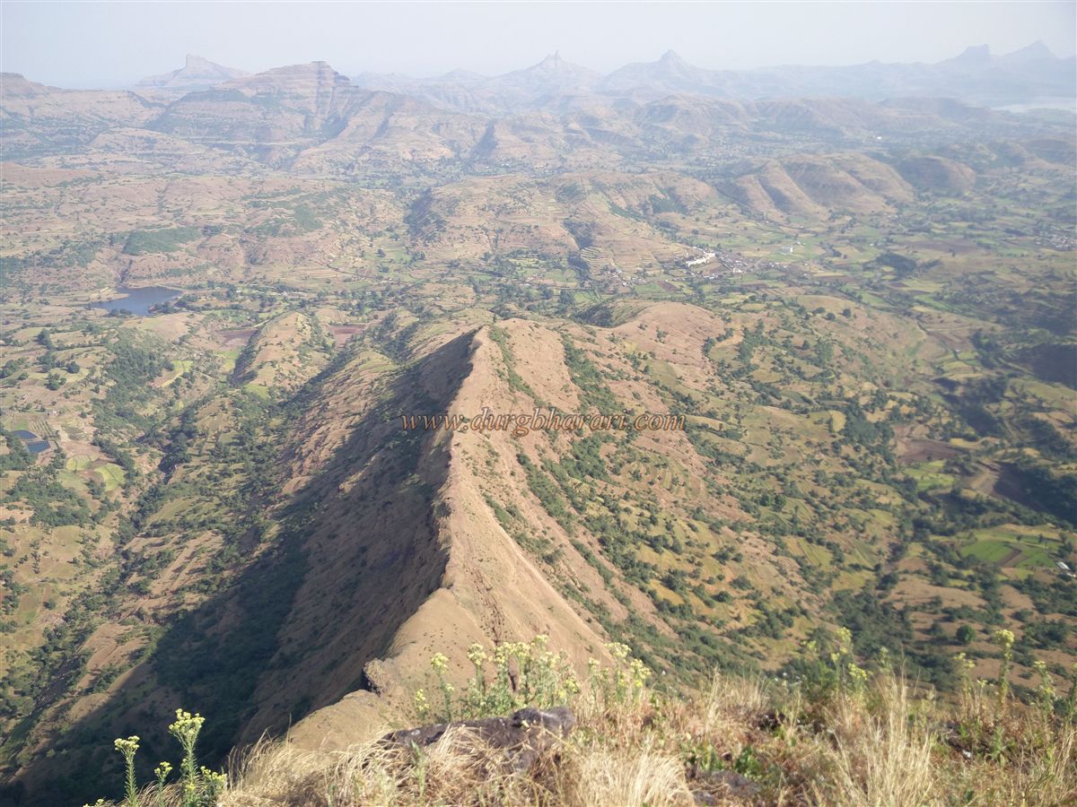
From the Hanuman idol, a trail climbs to the western knoll, which offers a breath taking view of Salher, with its iconic carved steps and pyramid-like shape. This vantage point also provides panoramic views of the Dang region of Gujarat. On descending from the knoll, one can explore two more rock-cut cisterns and ruins near the western edge before returning to the main gate.
Exploring Salota takes about an hour, and the trek is best paired with Salher for a full-day adventure. Historically, Salota shares its significance with Salher and has no distinct records of independent events.
© Suresh Nimbalkar
GALLERY