SADASHIVGAD
TYPE : HILL FORT
DISTRICT : SANGALI
HEIGHT : 2770 FEET
GRADE : EASY
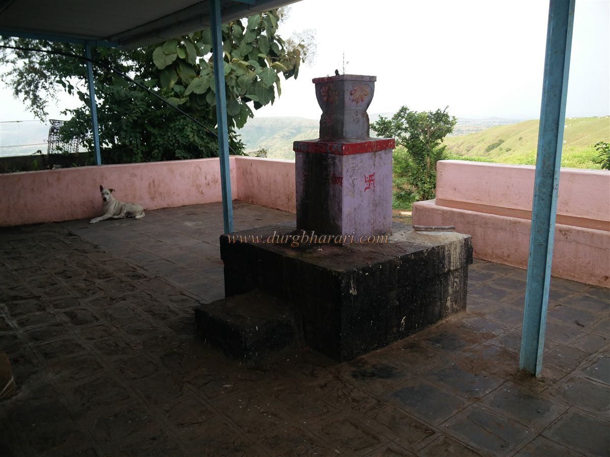
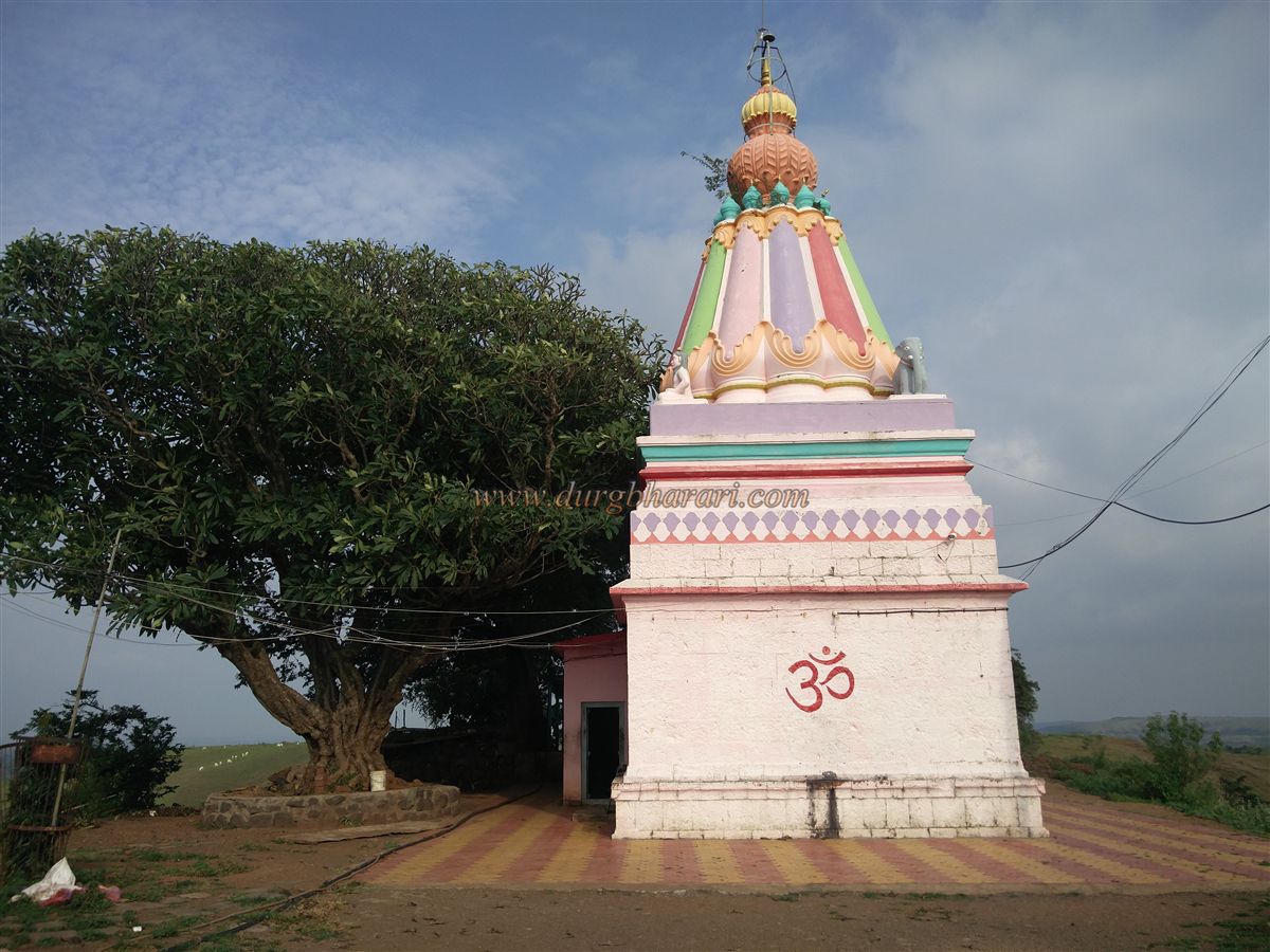
Most forts in Maharashtra are named either after the deities worshipped on them or the villages within their boundaries. Sadashivgad, located on the Satara-Sangli border, about 7 km east of Karad in Satara district, is one such fort. It derives its name from the Mahadev (Shiva) temple located on the fort.
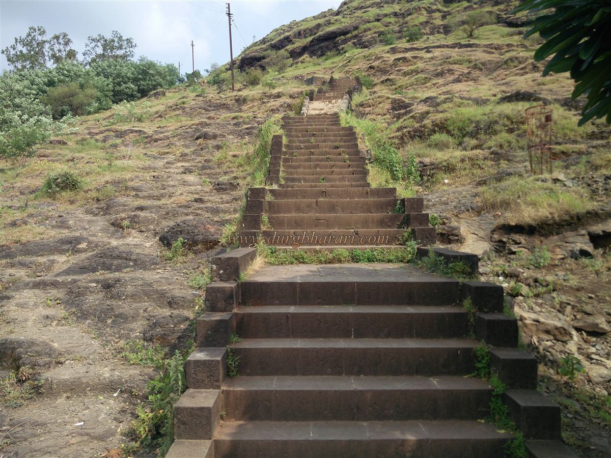
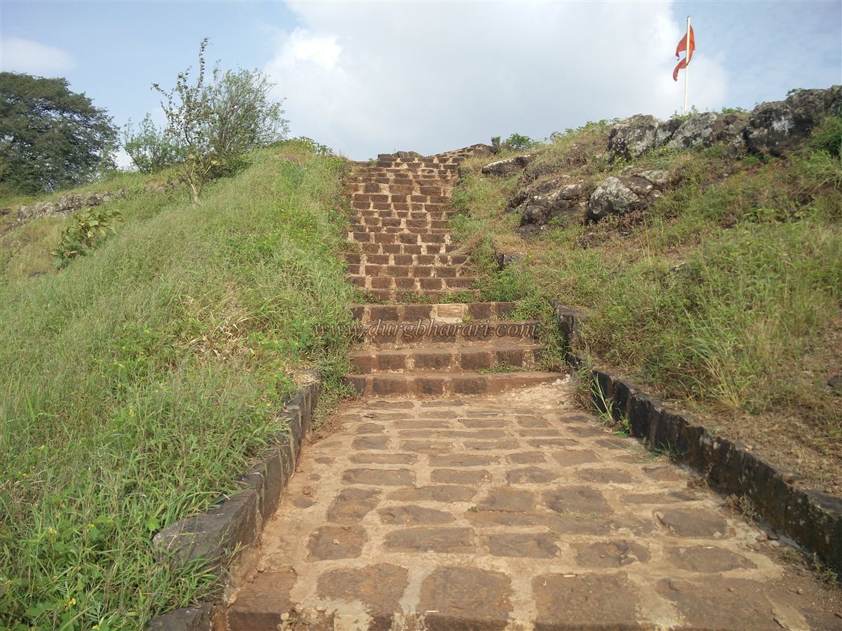
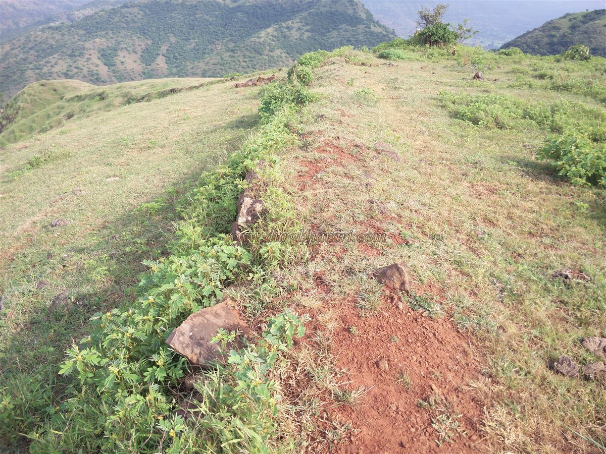
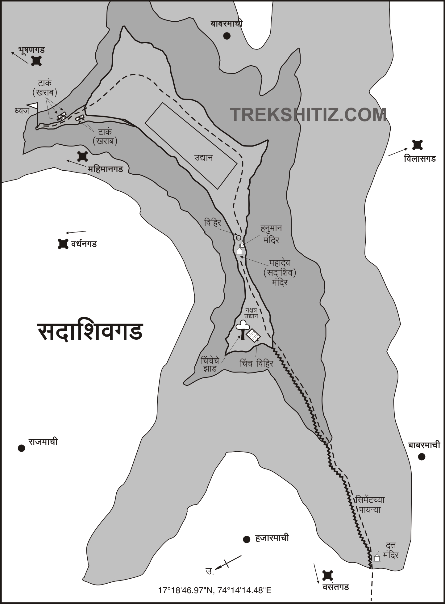
From Karad, there is good transport connectivity to Oglewadi, the base village for the fort. From Oglewadi, one needs to climb around 1,000 stone steps to reach the top of the fort, which takes about one hour. This fort, built primarily for surveillance, consists of four machi (plateaus) within its boundary — Hajarmachi, Babarmachi, Vanvasmachi, and Rajmachi.
...
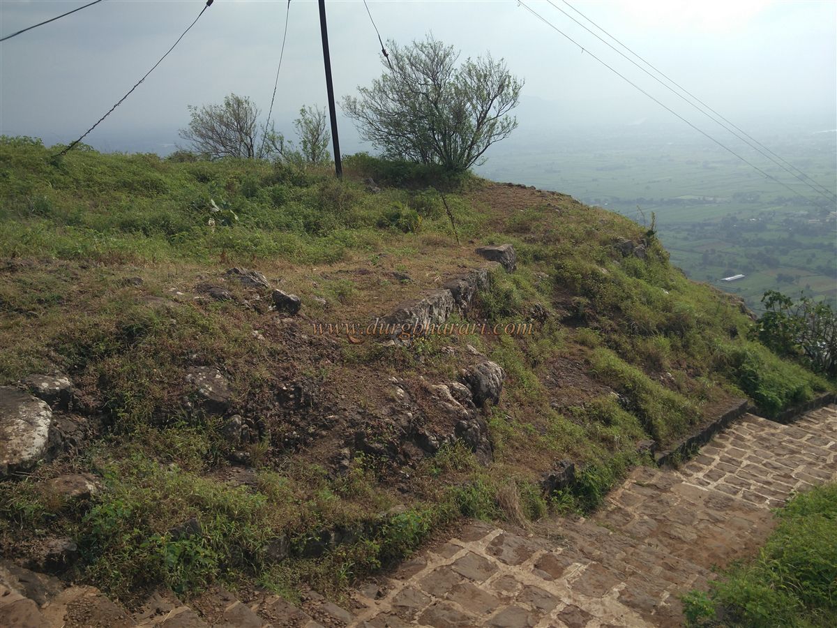
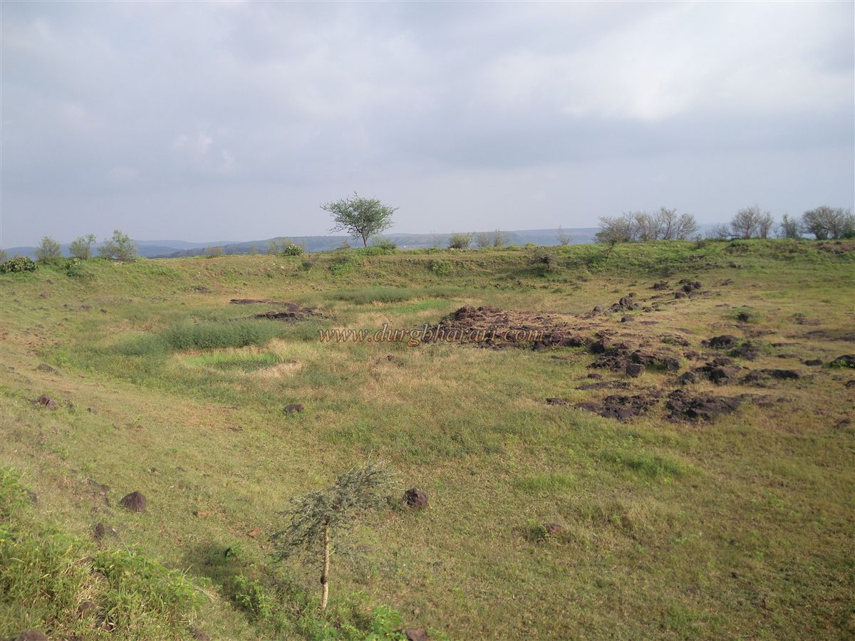
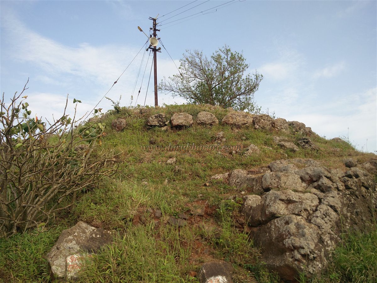
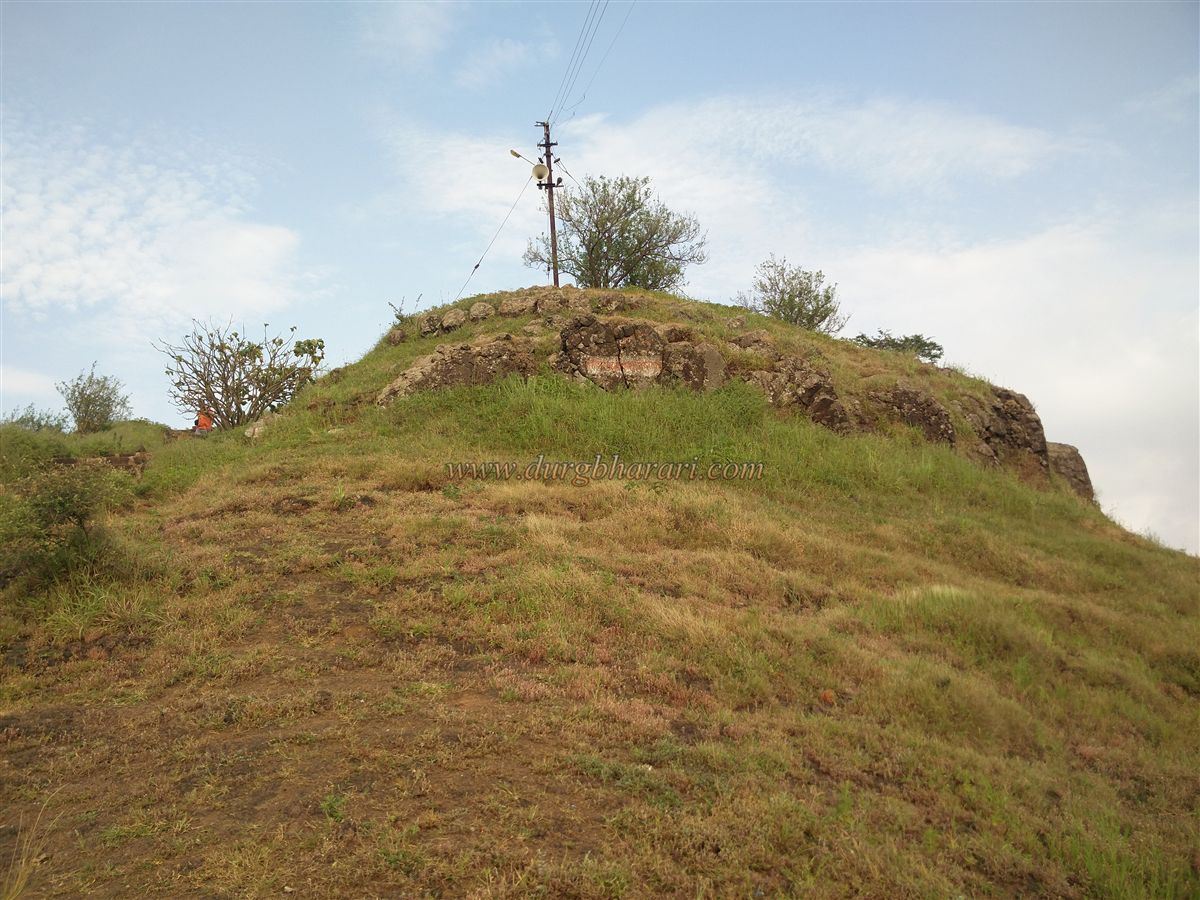
While climbing up, in the last stretch, remnants of a bastion and stone foundation of the fort walls can be seen. These are the only surviving remains of the fortifications today. The fort stands at an elevation of 2,665 feet above sea level and spreads over more than 25 acres, running east to west.
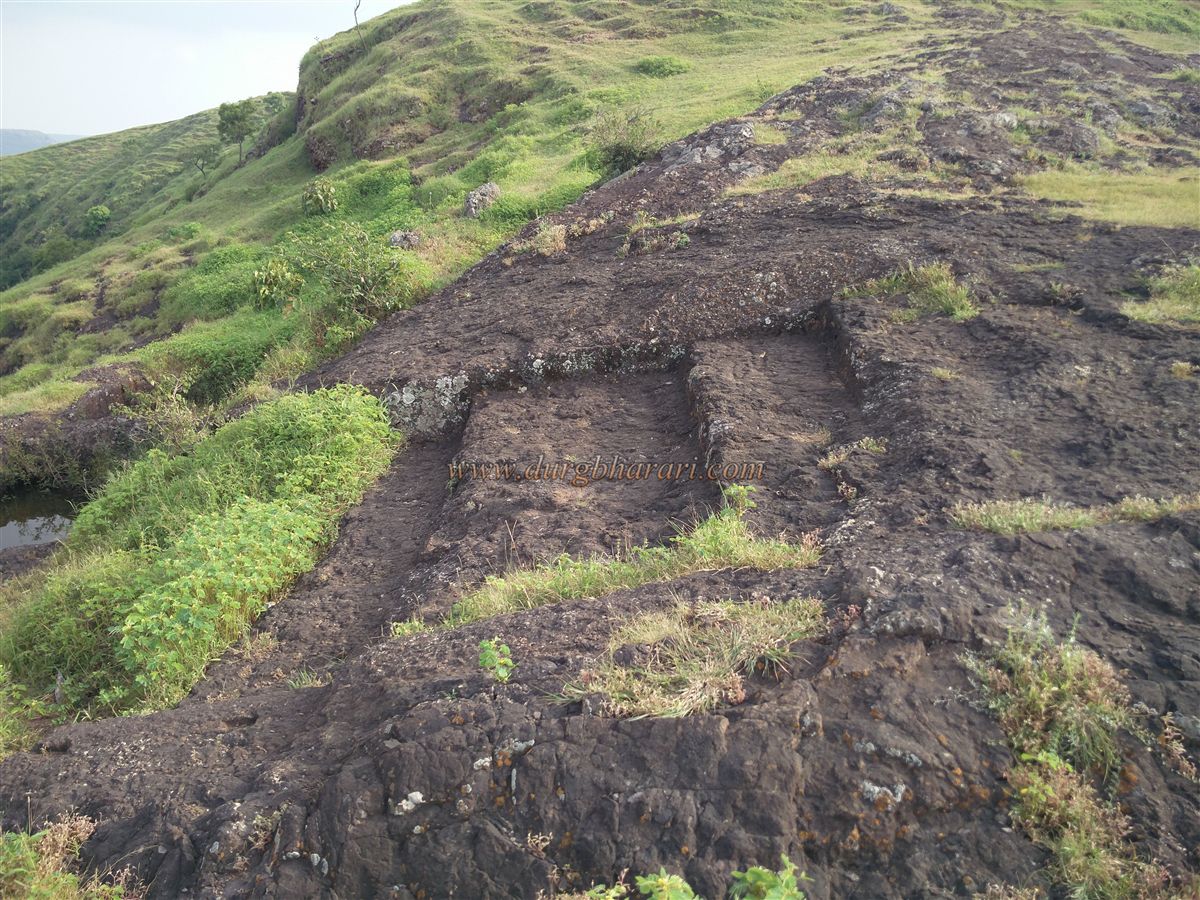
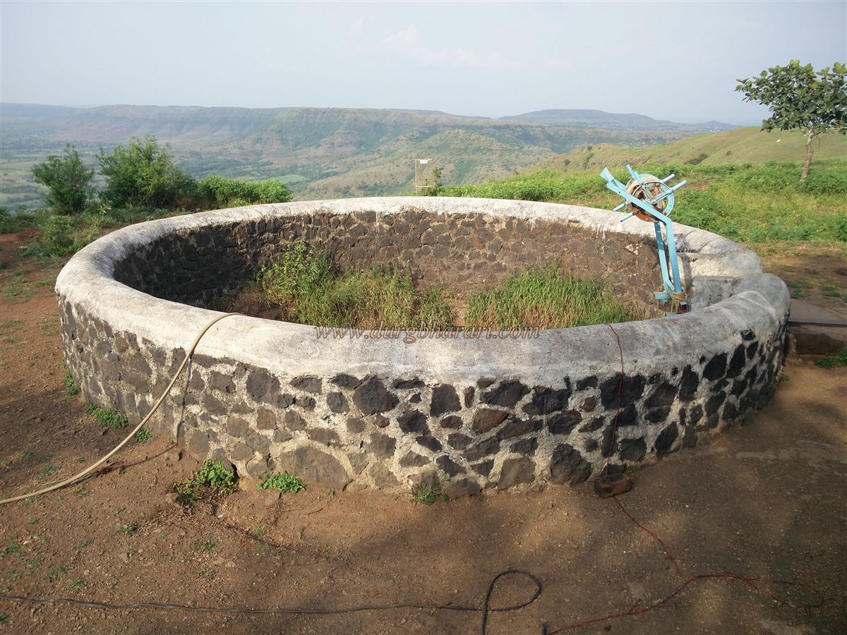
At the end of the steps, the straight path leads to the temple, while the left path takes you to a large square well. Though the well contains water, it is not potable. Returning to the main path towards the temple, one comes across a stone cistern and the platform of a ruined structure.
The Mahadev temple on the fort is constructed in stone, with its spire having been rebuilt in recent times. The temple can accommodate 15–20 people for overnight stays. In its courtyard lies a perennial water well, which serves as the drinking water source for the fort. Nearby, there is also a newly built small Hanuman temple.
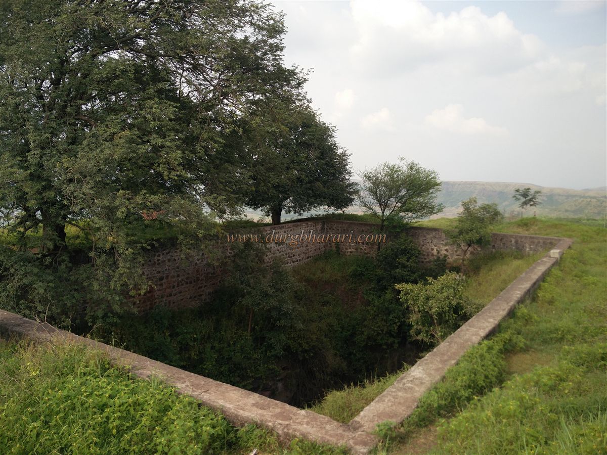
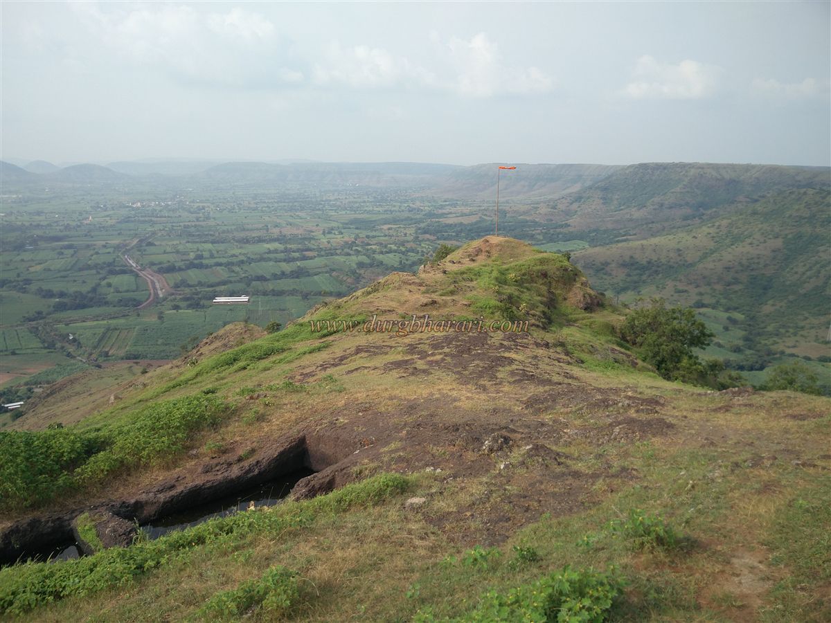
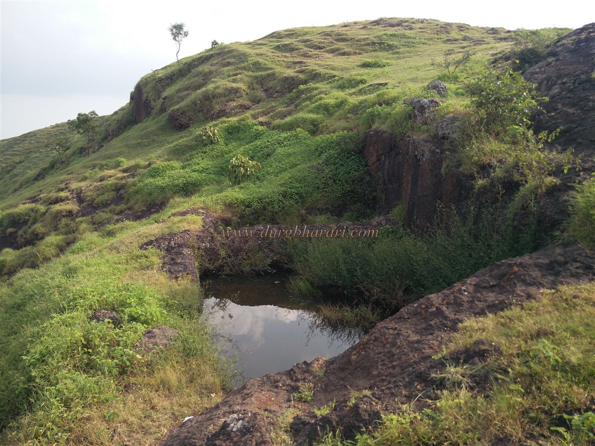
In front of the temple, on the plateau, there is a large rock-cut tank with steps leading down into it. On the eastern side of the fort are the collapsed remnants of the fort walls. From here, on the northern spur, three rock-cut water tanks can be seen. Near these tanks are rock-cut steps and traces indicating the presence of the fort’s original entrance. Another rock-cut water cistern is also located here.
As most visitors return after visiting only the temple, these structures remain largely unnoticed. However, anyone exploring the fort should make it a point to visit them. Returning to the temple completes the circuit of the fort. Though there are not many surviving structures, the fort’s perimeter is considerable, requiring about an hour to fully explore.
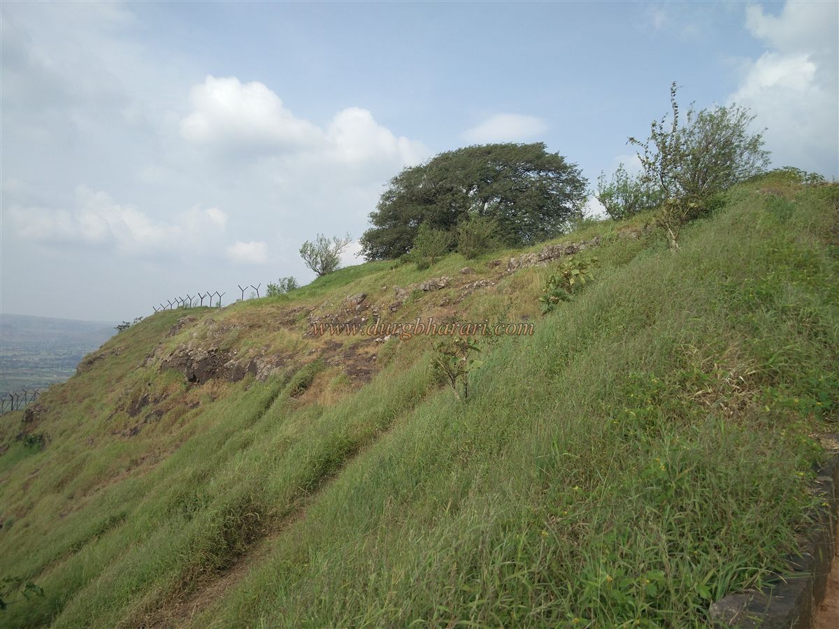
Judging by the structures and water supply, it appears that this fort primarily served as a watch post and surveillance fort. From the top, one can enjoy panoramic views of the Koyna River, Karad, Malkapur, Agashiv Hill, Vasantgad, and Machhindragad.
After the slaying of Afzal Khan on 10 November 1659, during the Marathas’ swift campaigns between 13 November 1659 and February 1660, this area was captured from the Adilshahi. However, when Chhatrapati Shivaji Maharaj was trapped in Panhala, Siddi Johar recaptured the region. Around 1670–71, the Marathas regained control, and it is believed that around 1676, Chhatrapati Shivaji Maharaj constructed this fort as part of a chain of forts in this mountain range. After this period, there are very few historical references to Sadashivgad.
© Suresh Nimbalkar
GALLERY