ROHILGAD
TYPE : HILL FORT
DISTRICT : JALNA
HEIGHT : 2060 FEET
GRADE : MEDIUM
In Ambad taluka of Jalna district lies a small village named Rohilagad. This village is home to Rohilagad Fort, the only hill fort among the five forts in Jalna district. Although the exact builder of this fort remains unknown, the ancient rock-cut caves located halfway up the hill behind the village emphasize the antiquity of this fort. Ambad, the taluka town, was a prominent market center during the medieval period. Since the important trade route from Ambad to Devgiri passed near this village, the fort was likely constructed to guard this strategic passage, especially considering that this is the only hill in the region. Judging by the layout and surviving structures, it appears that Rohilagad was primarily used as a watch-post or lookout fort.
Rohilagad village is located about 40 km from Aurangabad and 35 km from Jalna.
...
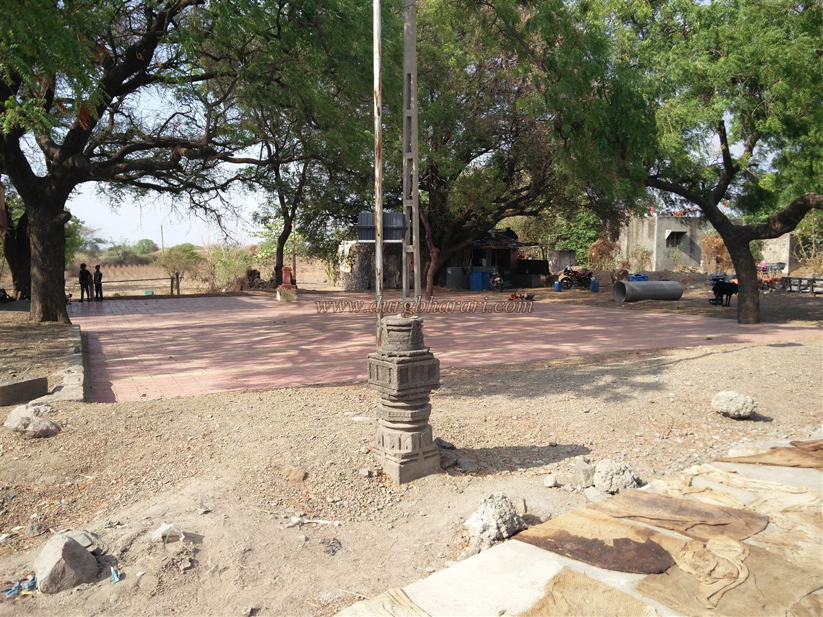
It is 7 km off the Aurangabad–Beed highway at the Rohilagad junction. On entering the village, one can see a few intricately carved sculptures and decorated stone pillars from a ruined temple outside the Mahadev temple. There is a well-trodden path from the village to the caves, as local villagers use the flat area in front of the caves for farming. It takes about 15 minutes from the village to reach these caves.
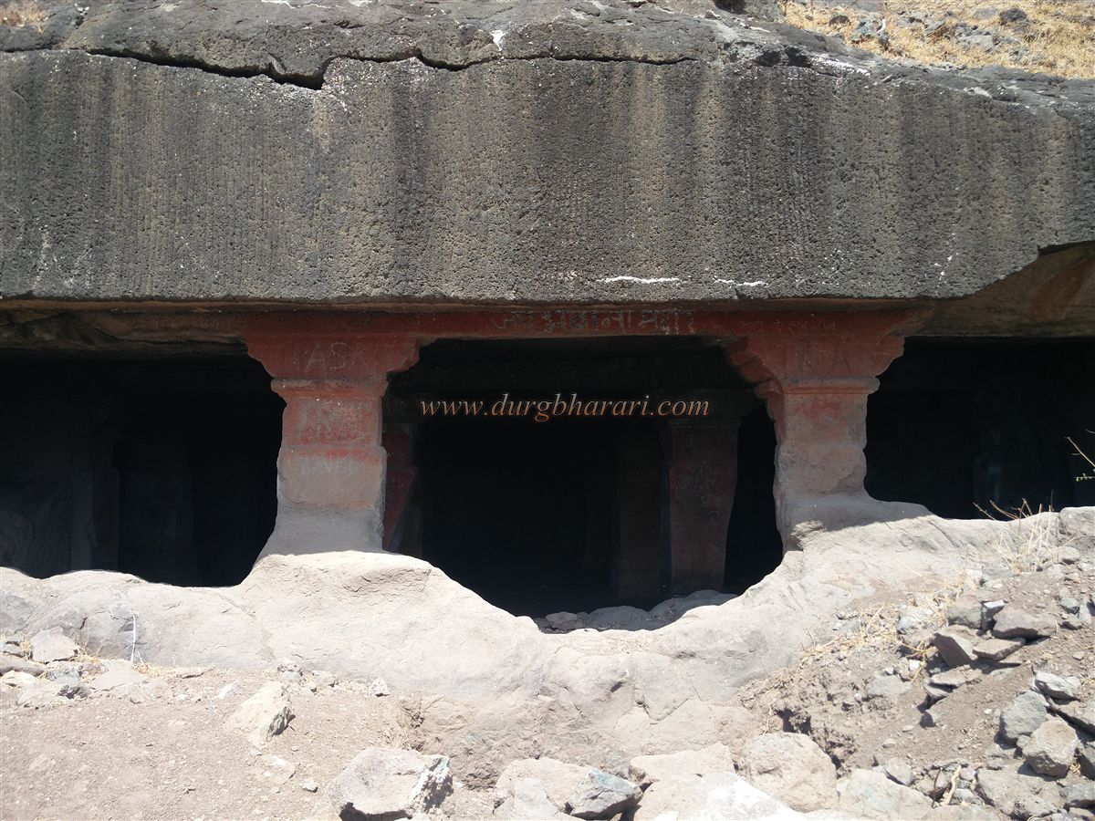
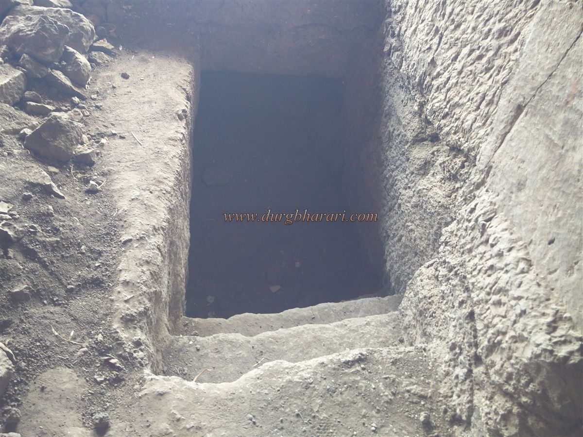
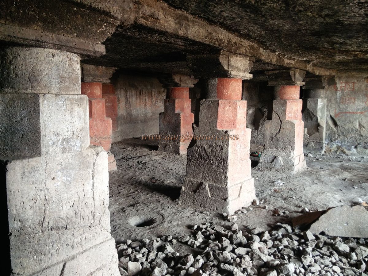
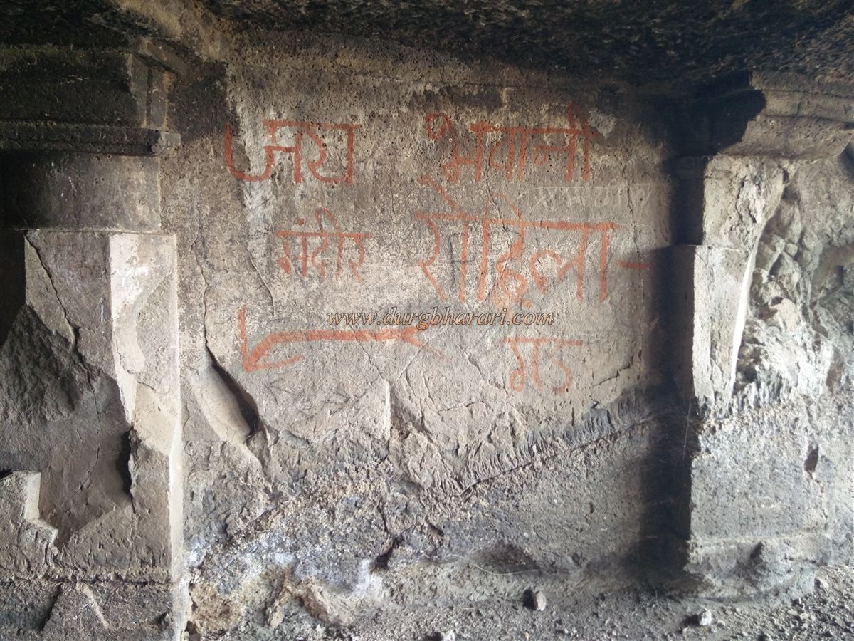
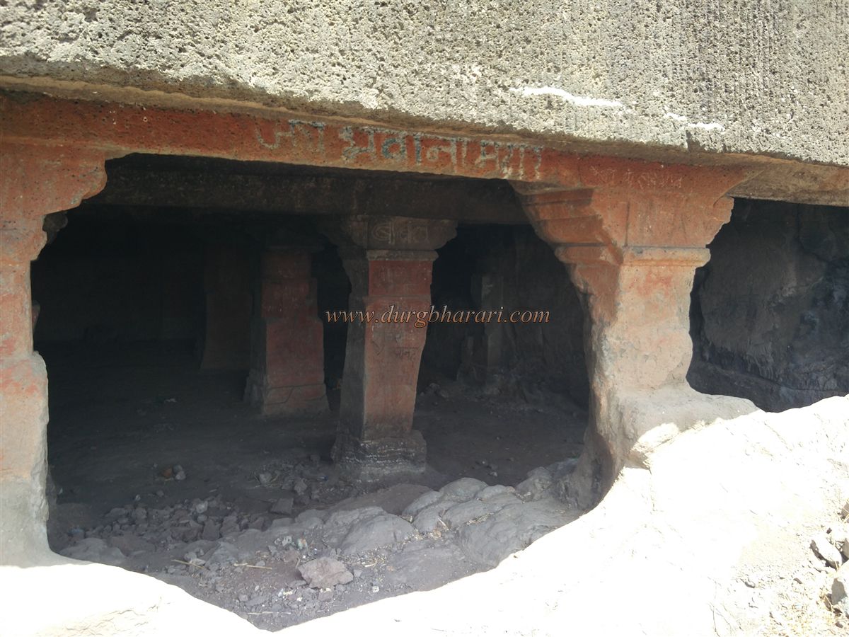
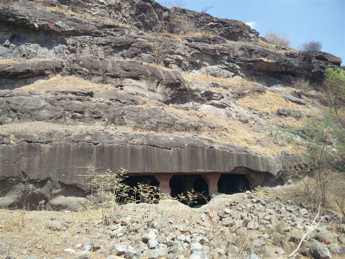
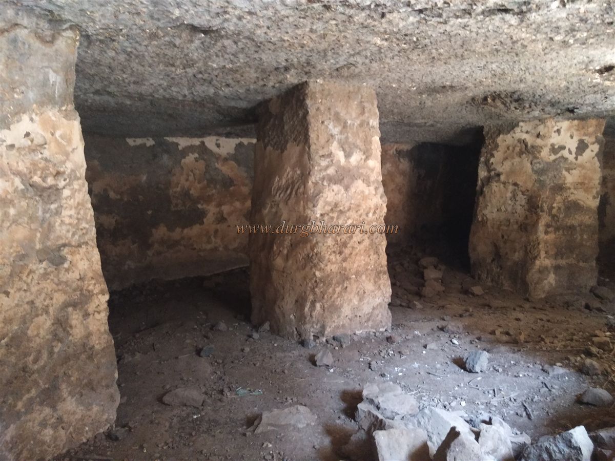
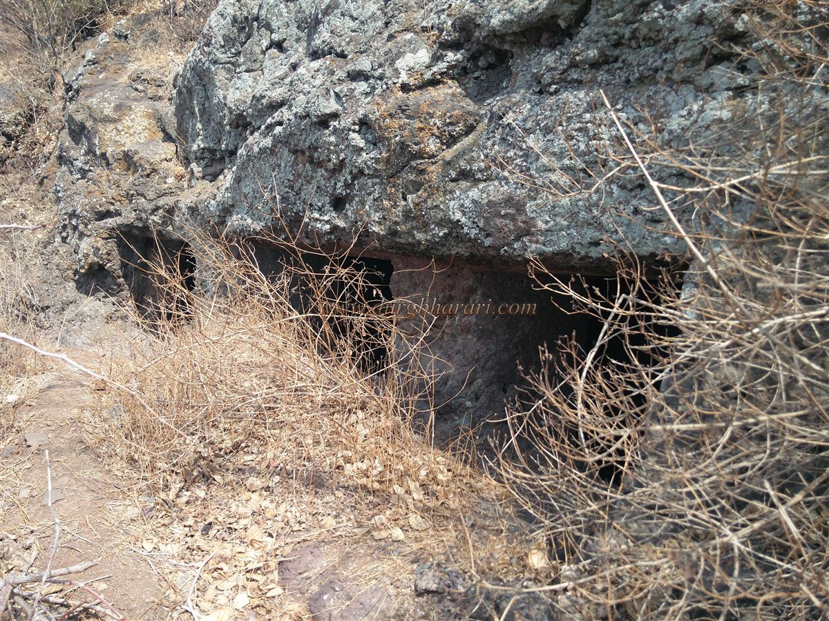
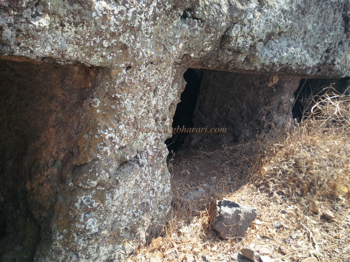
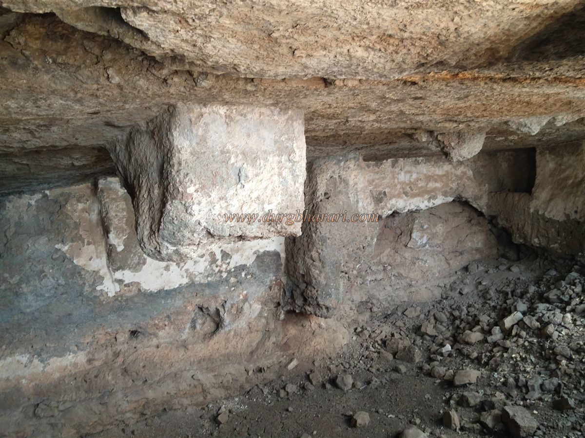
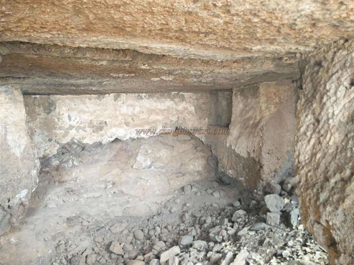
Due to the flow of debris and soil from the hilltop, the front façade of the caves has been largely buried. The cave, though half-finished, is fairly large and has a ceiling supported by eleven pillars. At the entrance of the cave, there is a rock-cut but now-buried water cistern. Steps have been carved inside the cave to descend into the tank. One shrine-like niche inside the cave, though unfinished, has been smeared with vermillion (shendur). Beside this cave lies another large rock-cut cave, but it is currently inaccessible due to the accumulation of soil and debris at its entrance.
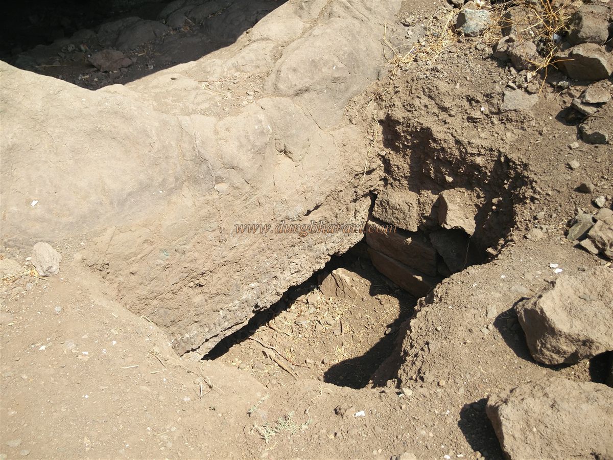
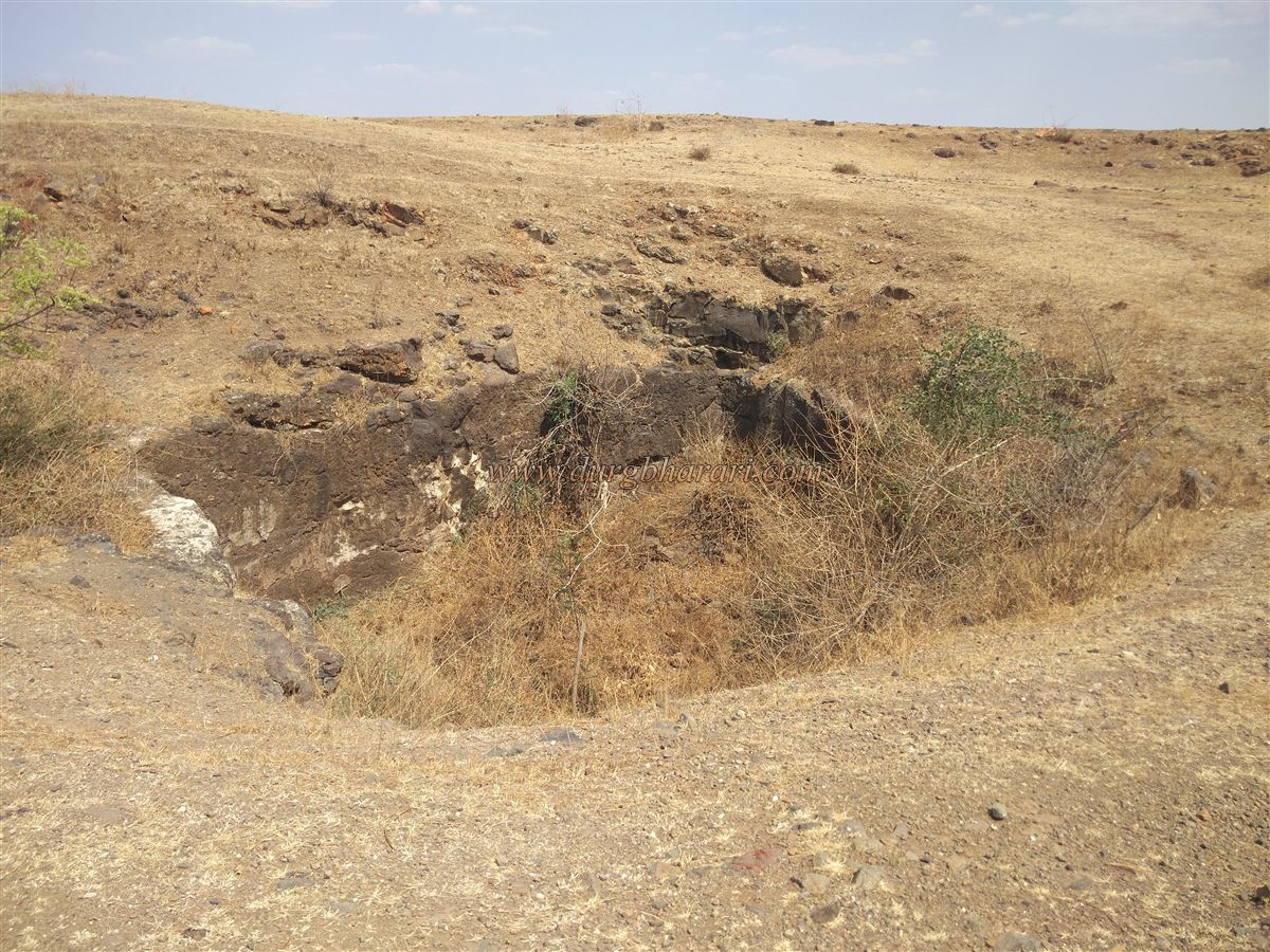
From the caves, the summit of the fort is just a few feet higher. There are two routes to ascend: one goes straight up from the cave roof, while the other takes a gentler incline from the left of the caves, circling the hill. Though the direct route appears easier, the loose gravel and soil make it slippery. The safer option is to take the second path, which also leads to a remarkable rock-cut stepped cistern supported by pillars. Two columns still stand at the cistern’s entrance, but the inner pillars have completely collapsed. Given the region's low rainfall and the friable nature of the rock, water retention in this cistern was difficult, which may be why the fort was eventually abandoned.
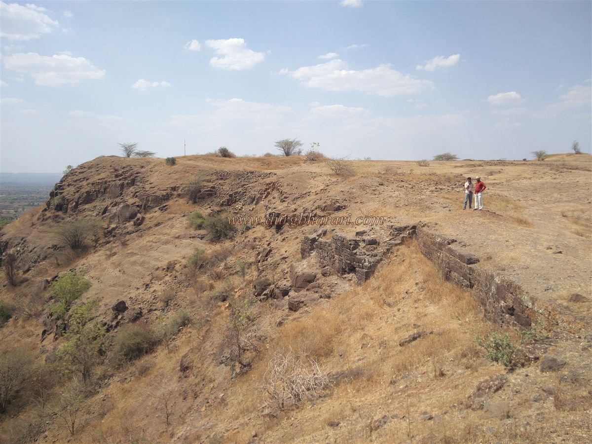
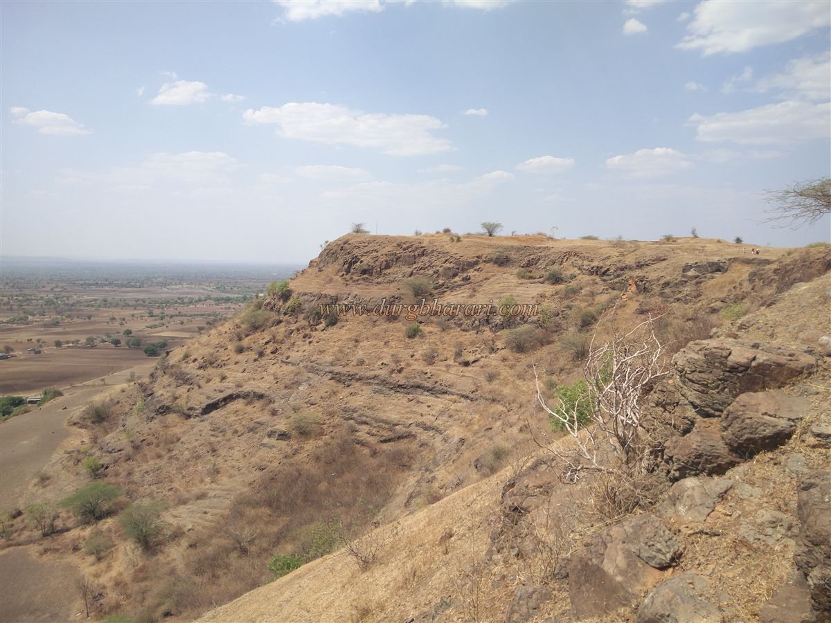
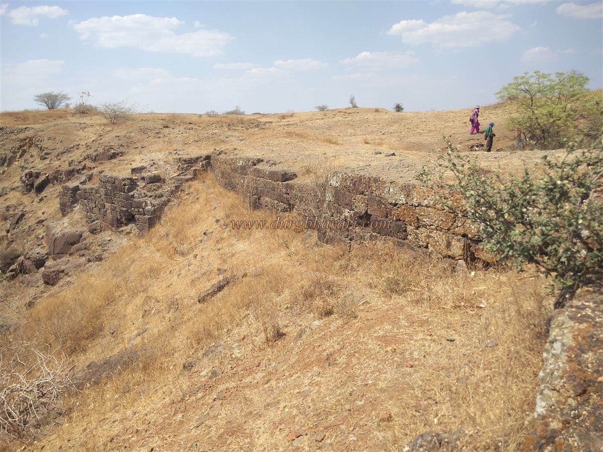
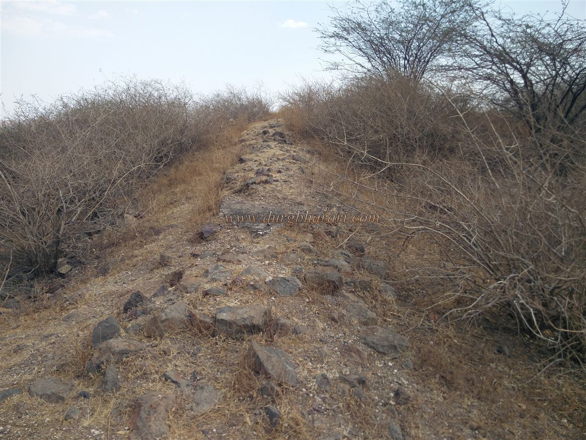
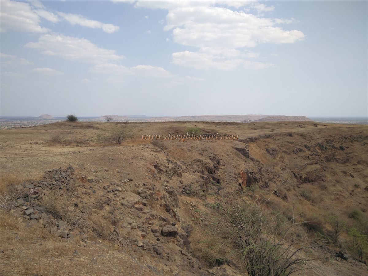
Moving ahead, remnants of a well-structured fortification wall mark the entrance to the fort. To the left of this entry point is a raised area that resembles a bastion. This elevated spot is the highest point on the fort, and remnants of a building wall are visible here. From this height, one can view the entire fort at once. The fort has a roughly triangular plateau, located 2,070 feet above sea level and spread across an area of about 5 acres.
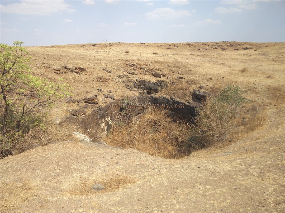
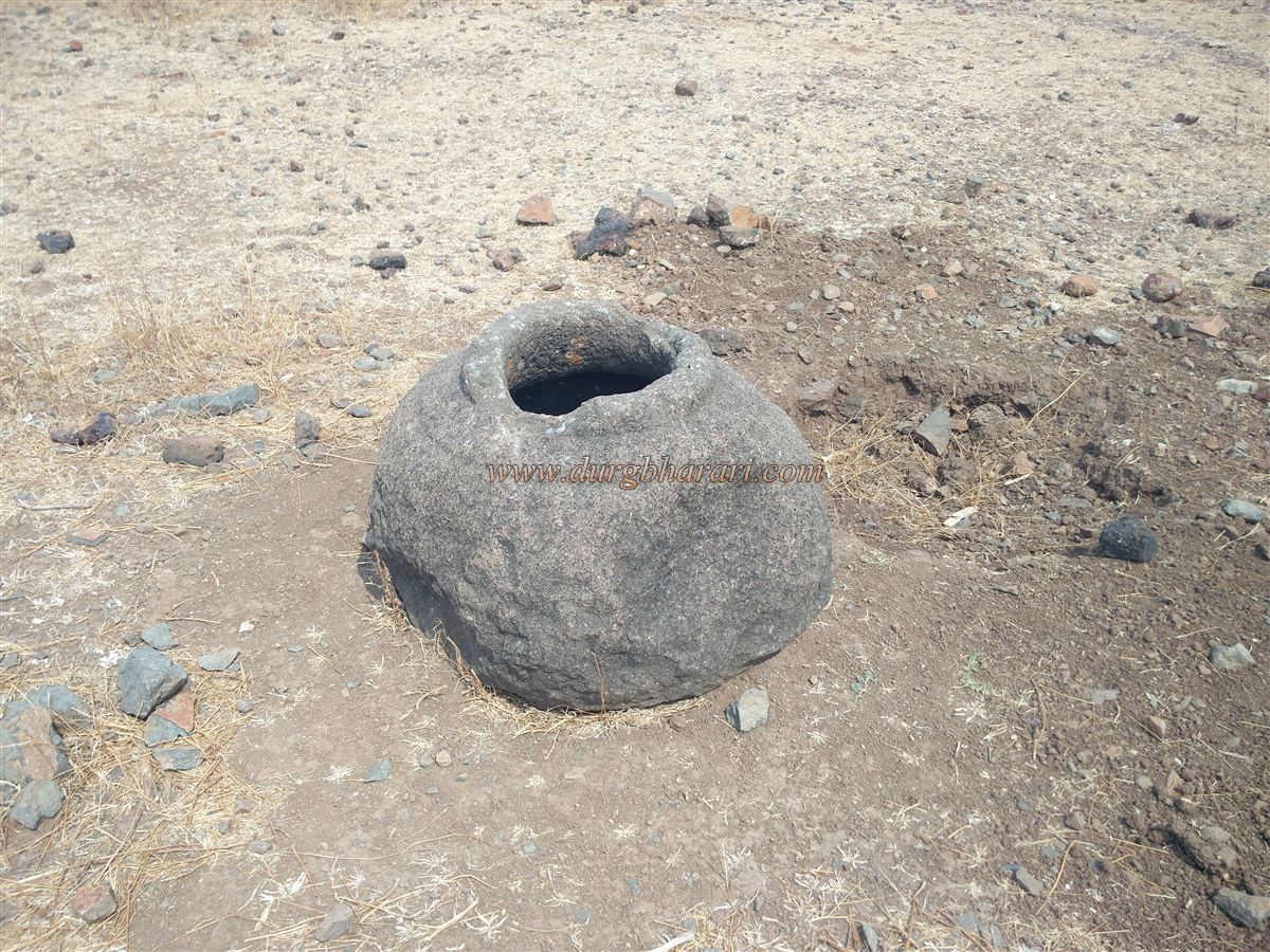
The southern tip of the fort is a long spur extending 450 feet in length and 75 feet in width. On the right side of this elevated plateau, one comes across a large stone container reminiscent of those found at Naneghat, although its base is now broken. From here, one should begin circling the fort along the wall on the left, opposite the village. At the start of the path, there is a rainwater pond carved into the rock, which usually dries up outside the monsoon season.
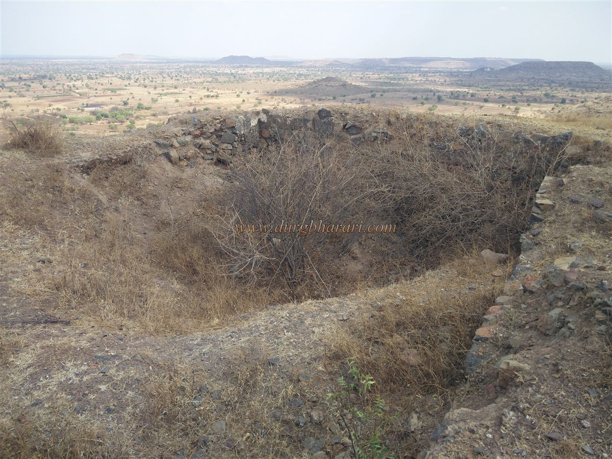
Further along the path are more rock-cut stepped cisterns. One of them has large amounts of silt in the columned section and is overgrown with thorny bushes. With some effort, one can descend into the tank through the overgrowth and view its inner columns. Nearby is another smaller dry cistern, which is also filled with vegetation.
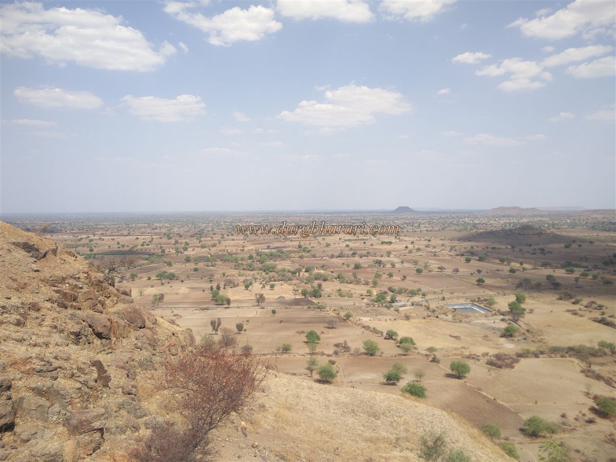
Continuing along this trail leads to the southern tip of the fort. Returning from here, on the western side of the fort one finds well-preserved stone fortifications and a nearby bastion. Moving forward toward the village-facing side, one can see remnants of a large building and a buried water cistern. The remaining plateau is strewn with large stones. At the edge overlooking the village, a saffron flag has been hoisted. From this point, one gets a panoramic view of Rohilagad village and the surrounding countryside.
This concludes the circuit of the fort. From here, one can either descend toward the caves using the previously mentioned path or return by the same route taken during the ascent. It takes about three hours to explore and return from the entire fort.
When locals were asked about the name of the fort, they said that it was named Rohilagad because Rohila people once lived in the village. Vishal Takle, a local fort enthusiast, has taken up conservation work of the fort with the help of some villagers. If you plan to visit the fort, you may contact Vishal for assistance at 7517894650.
© Suresh Nimbalkar
GALLERY