RANJANGIRI
TYPE : GIRIDURG
DISTRICT : NASHIK
HEIGHT : 3070 FEET
GRADE : HARD
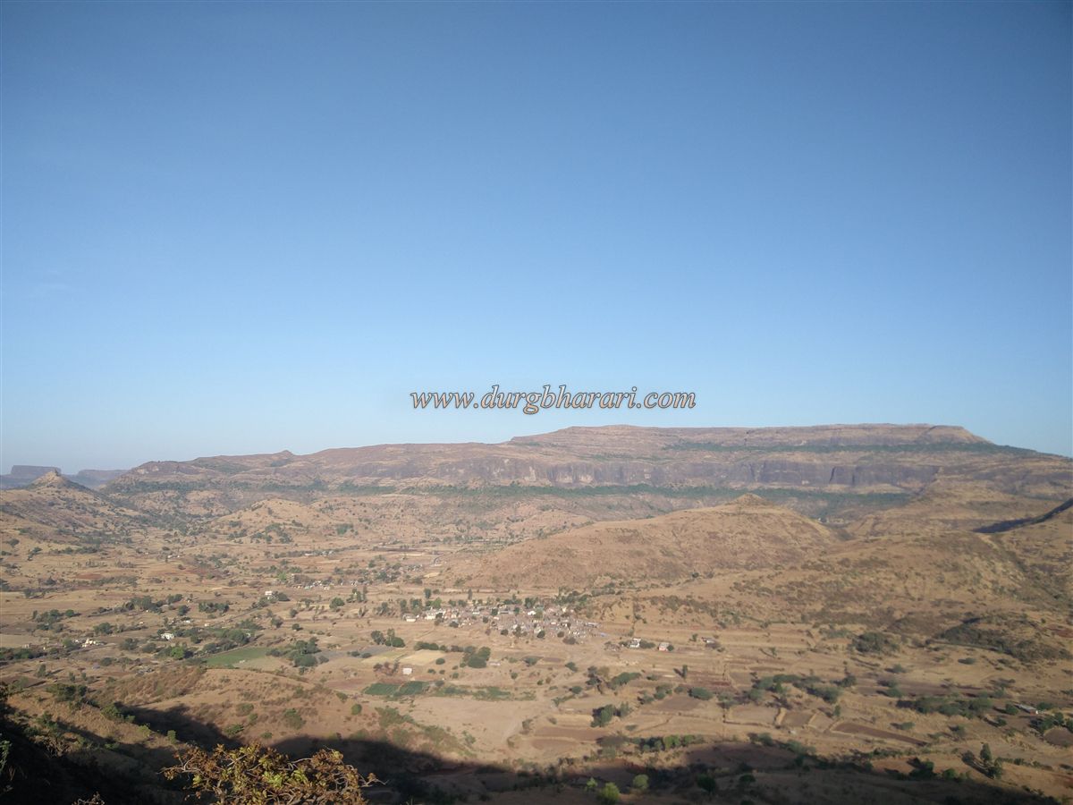
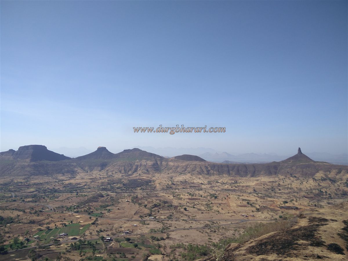
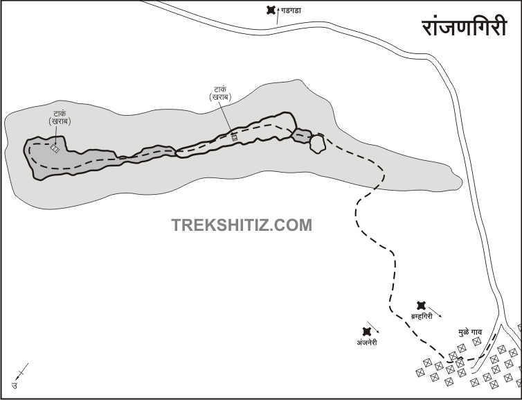
In Nashik district, there are the Selbari-Dolbari, Ajanta-Satmala, and Trimbak hill ranges. Among these, the Trimbak range, located east of Nashik and south of Igatpuri, includes several forts such as Bhaskargad, Harshgad, Trimbakgad, Anjaneri, Ranjangiri, Gadgada, and Bahula. Ranjangiri is one such watch fort in the Trimbak range. Since ancient times, Nashik has been known as a marketplace. To protect the trade route coming from Dahanu port to Nashik—via Dahanu, Javhar, Gondaghat, Amboli Ghat, Trimbak, and Nashik—this fort was constructed as part of a chain of forts guarding the route. Mulegaon is the village at the base of the fort and is accessible via Jategaon from the Mumbai-Nashik highway. Mulegaon is about 11 km from the Mumbai-Nashik highway.
...
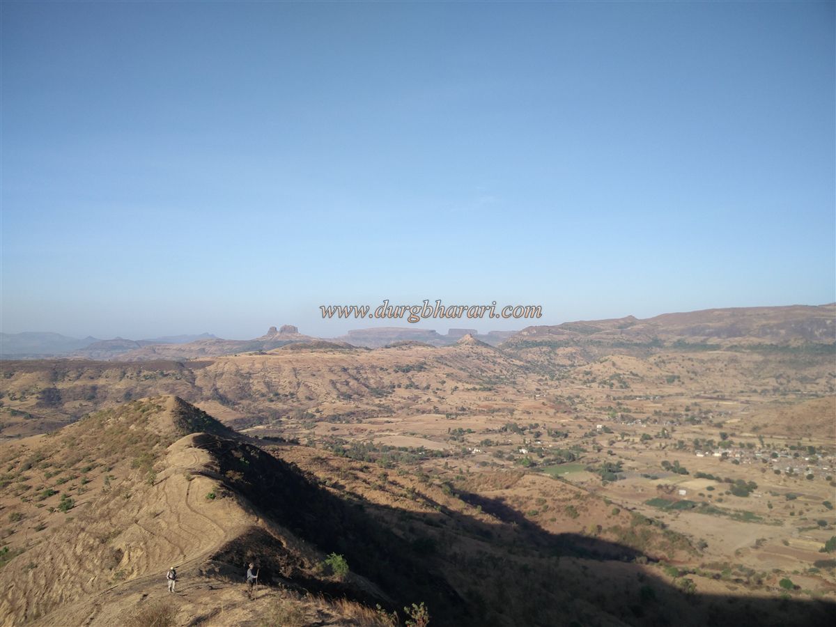
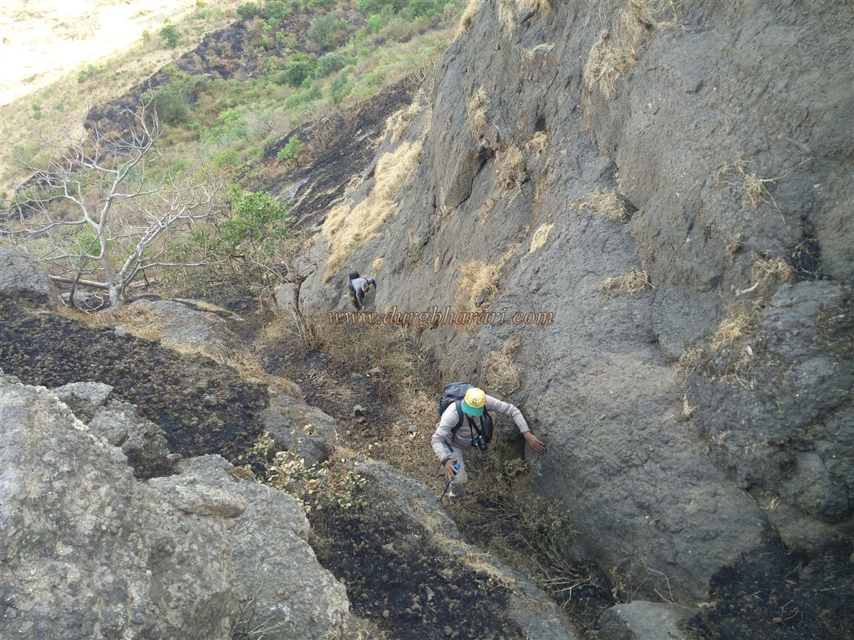
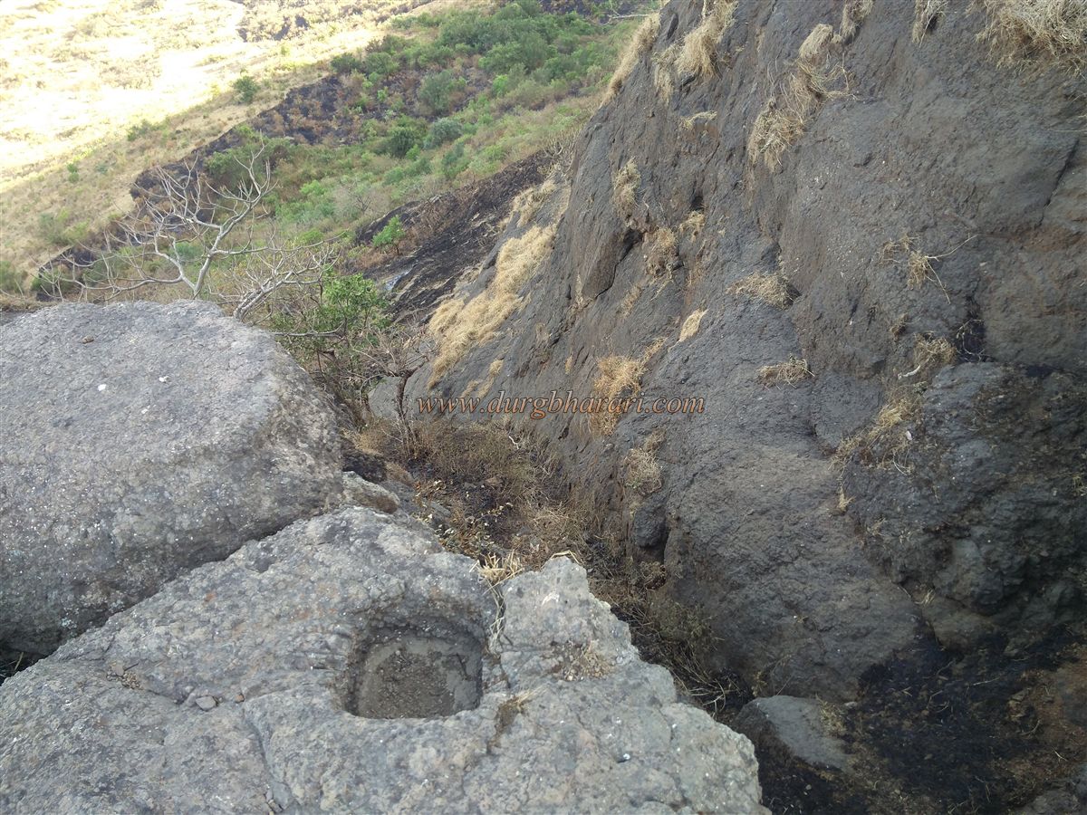
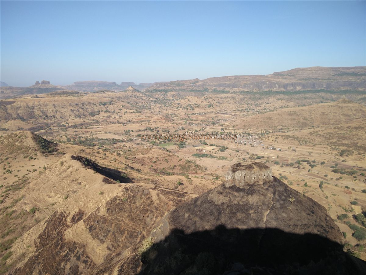
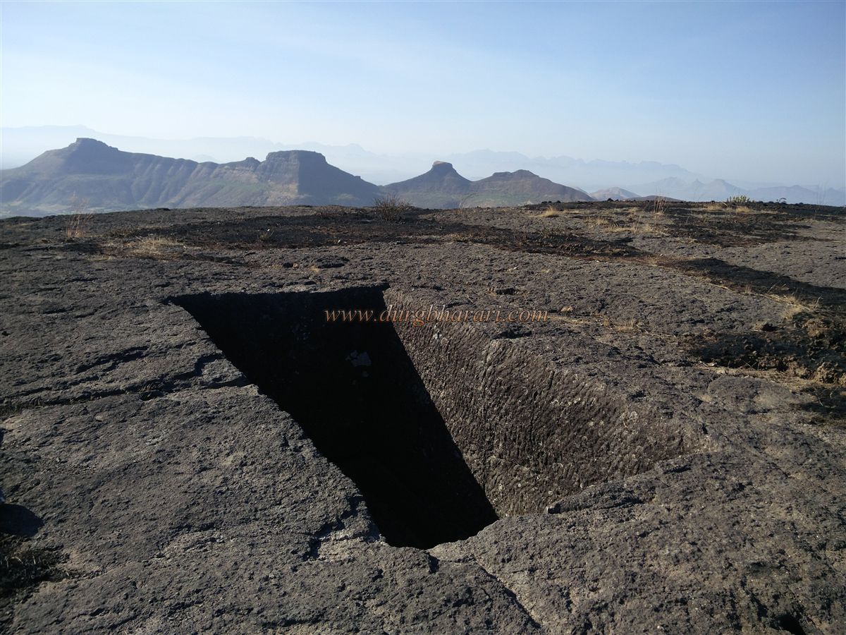
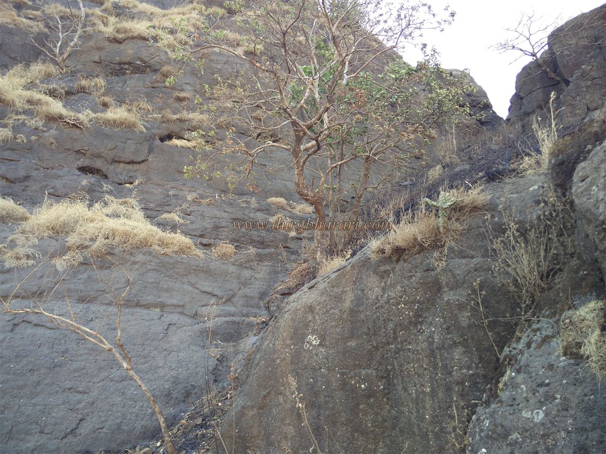
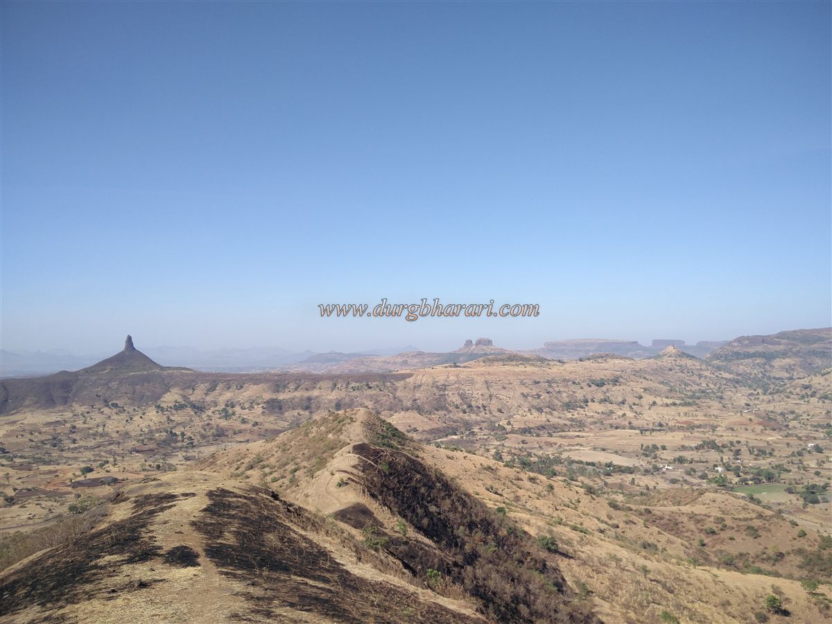
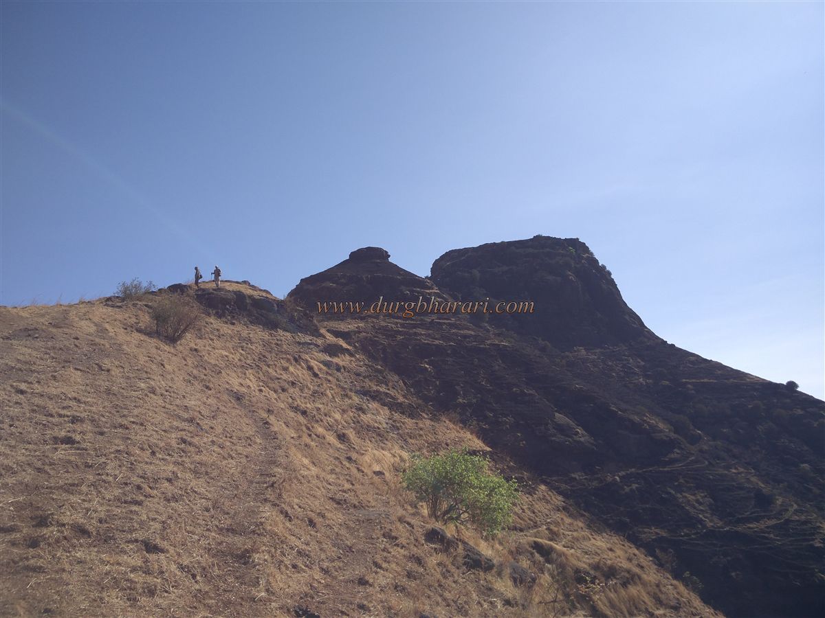
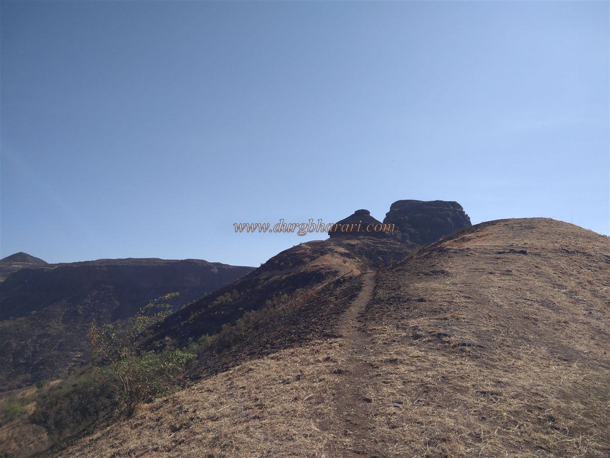
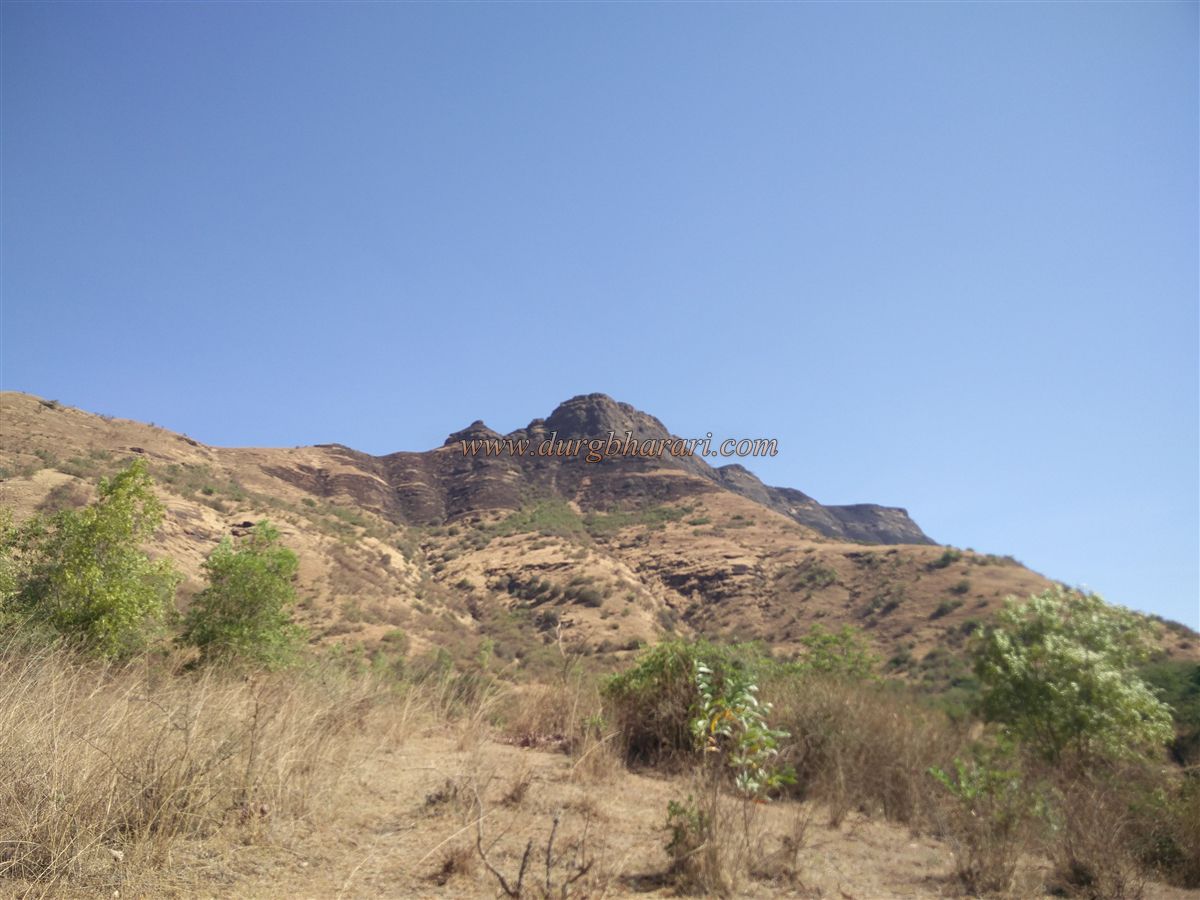
Not many people know about the Ranjangiri fort, located behind Anjaneri fort. The locals refer to this hill as Budhalicha Dongar. While traveling from Jategaon to Mulegaon, one sees a long, narrow-ridged hill on the right—that is Ranjangiri fort. On the left side of the road, one can spot Ghargad and Dangya Sulka. There is no need to go all the way to Mulegaon to reach the fort. A road from Dahegaon intersects the route you're traveling, and from this junction, the plateau below the Ranjangiri fort is visible. Keeping that plateau in sight, the climb begins. Since the path leading up the fort is not well-trodden, one has to search for the trail while climbing. At some places, a mountain in front of the fort resembles a “ranjan” (a type of vessel), which may be the reason behind the name Ranjangiri. However, I personally didn’t find the shape very similar to a “ranjan.” In front of the fort is a small, round hill, and one has to circle around it to reach the pass between that hill and the fort. While ascending through the pass, there is a lot of loose gravel, so care must be taken while climbing, as the stones dislodged by those ahead can hit the climbers behind. After this brief rock climb, one reaches the pass. From there, after climbing four or five stone steps visible ahead, one reaches the top of the fort. Looking at the rock cuttings there, it seems that some structures may have existed earlier, but now only faint traces remain. It takes about an hour and a half to climb from the base to the fort. Situated at an elevation of 2,927 feet above sea level, the fort's top is narrow and stretches east to west. The fort covers an area of about four acres, and apart from the 4–5 steps needed to reach the summit, a rainwater reservoir, and two water tanks carved in the rock, there are no other remains. From the top, one can see the forts of Gadgada, Anjaneri, and Bahula, along with vast surrounding areas. It takes about half an hour to explore the entire fort. Since there is not a single tree on the fort, there is no place to rest, and thus it is best to visit the fort in the morning. Ranjangiri, known as a watch fort, remains completely silent when it comes to its history.
© Suresh Nimbalkar
GALLERY