RAMDURG
TYPE : HILL FORT
DISTRICT : SANGALI
HEIGHT : 2225 FEET
GRADE : EASY
Jat is a taluka located in the eastern part of Sangli district. In the pre-independence era, Jat was a princely state. The state included two major towns—Jat and Daphalapur—and 117 villages. The medieval history of Jat and its surrounding area is essentially the history of the Daphale royal family who ruled the Jat princely state. Around 1680, Satavaji Chavan, the Patil of Daphalapur, obtained the Deshmukhi (revenue control) rights over Jat, Karjagi, Bardol, and Kanad from the Adilshahi. This marked the rise of the Daphale royal family and the formation of the Jat princely state. For defense and administration, they built several fortified residences (gadhi) and small forts such as Anantpur and Ramdurg within their territory.
...
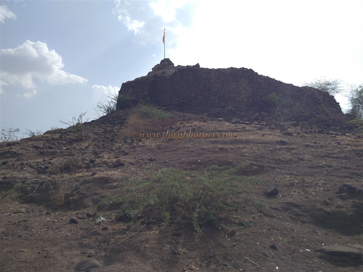
In the 17th century, Sardar Daphale built the small Ramdurg Fort on a small hill near the village of Rampur, not far from the city of Jat. As this was the only hill in the otherwise flat terrain, it allowed for a far-reaching view. Given its proximity to the Jat state and the fact that it was the only elevation in the area, it is likely that the fort was built for administrative purposes. Located along the Jat–Kavathe Mahankal road, the fort lies 78 km from Sangli and just 4 km from Jat, in the village of Rampur. From the Rampur junction, entering the village and heading toward the hill at its rear, one can begin to see the fort and the saffron flag hoisted atop it.
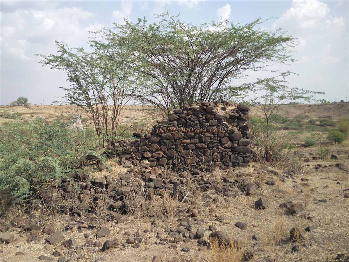
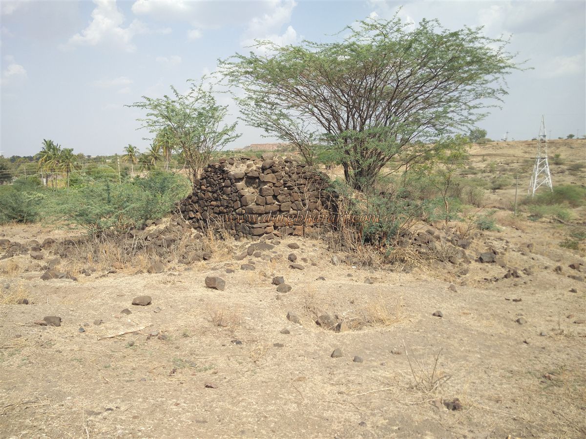
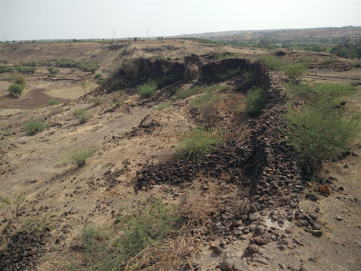
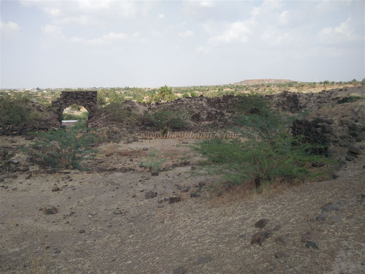
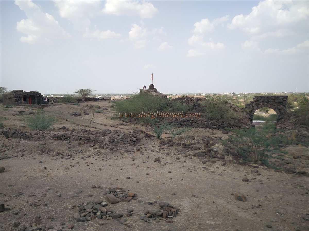
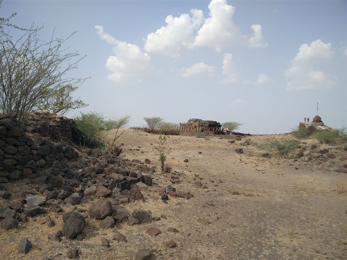
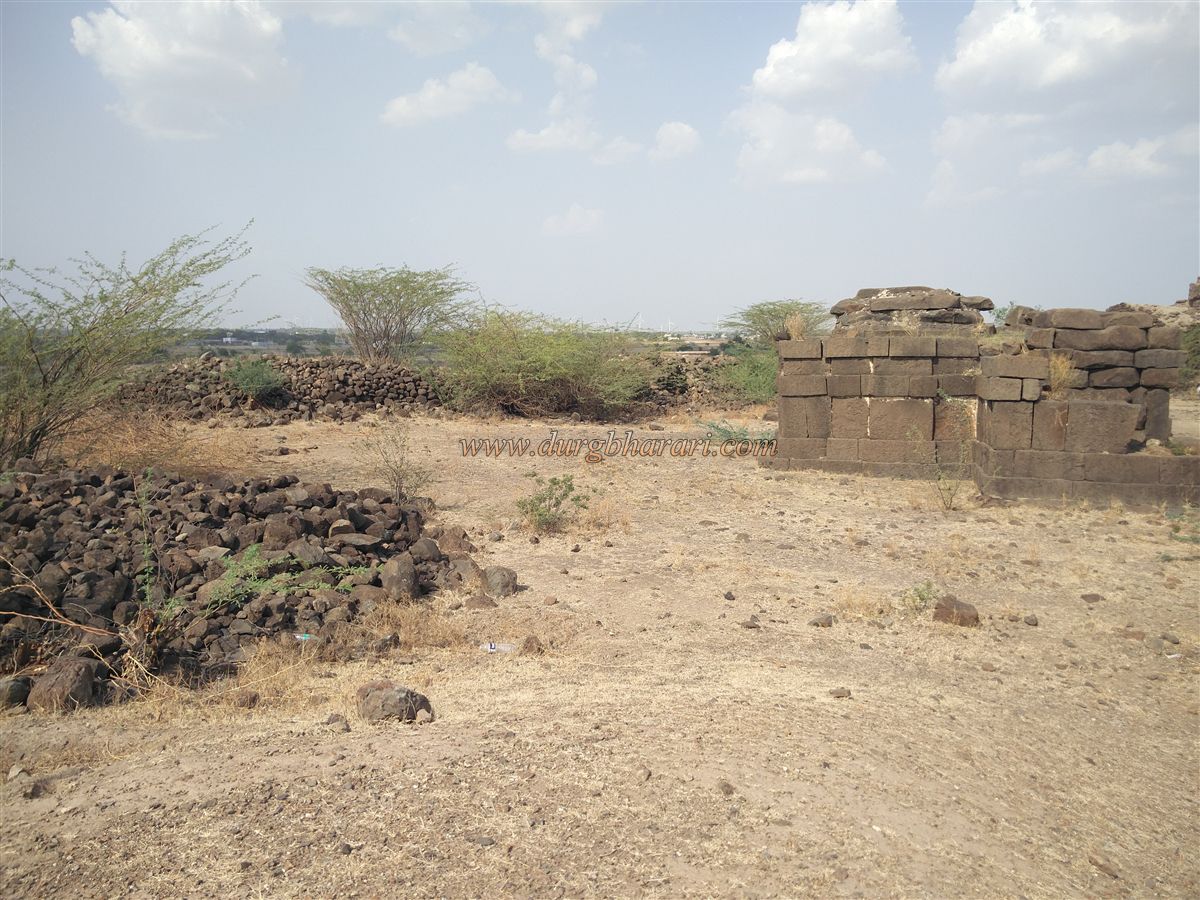
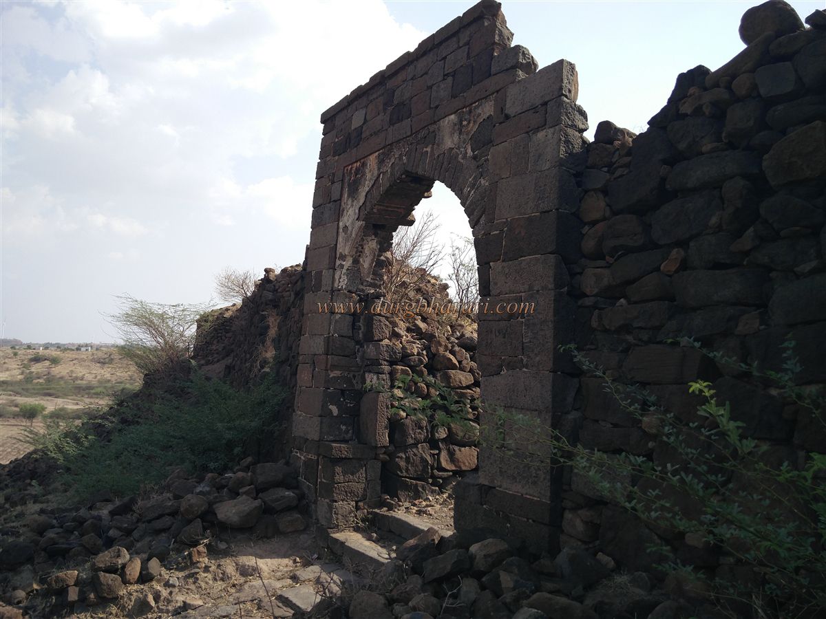
The fort is situated on a hill approximately 150 feet high behind Rampur village and covers an area of about 1.5 acres. It has a total of four bastions built into its fortifications, one of which is located within the fort and was likely constructed to monitor internal activities. A private vehicle can be taken as far as the water tank behind the village. From there, a five-minute walk leads to the east-facing gate built into the ramparts of the fort. The gate arch is still intact, and there are stone steps carved in front of it. There is no visible ornamentation or sculpture on the arch. The walls of the fort, made of rough-cut stone blocks, have largely collapsed.
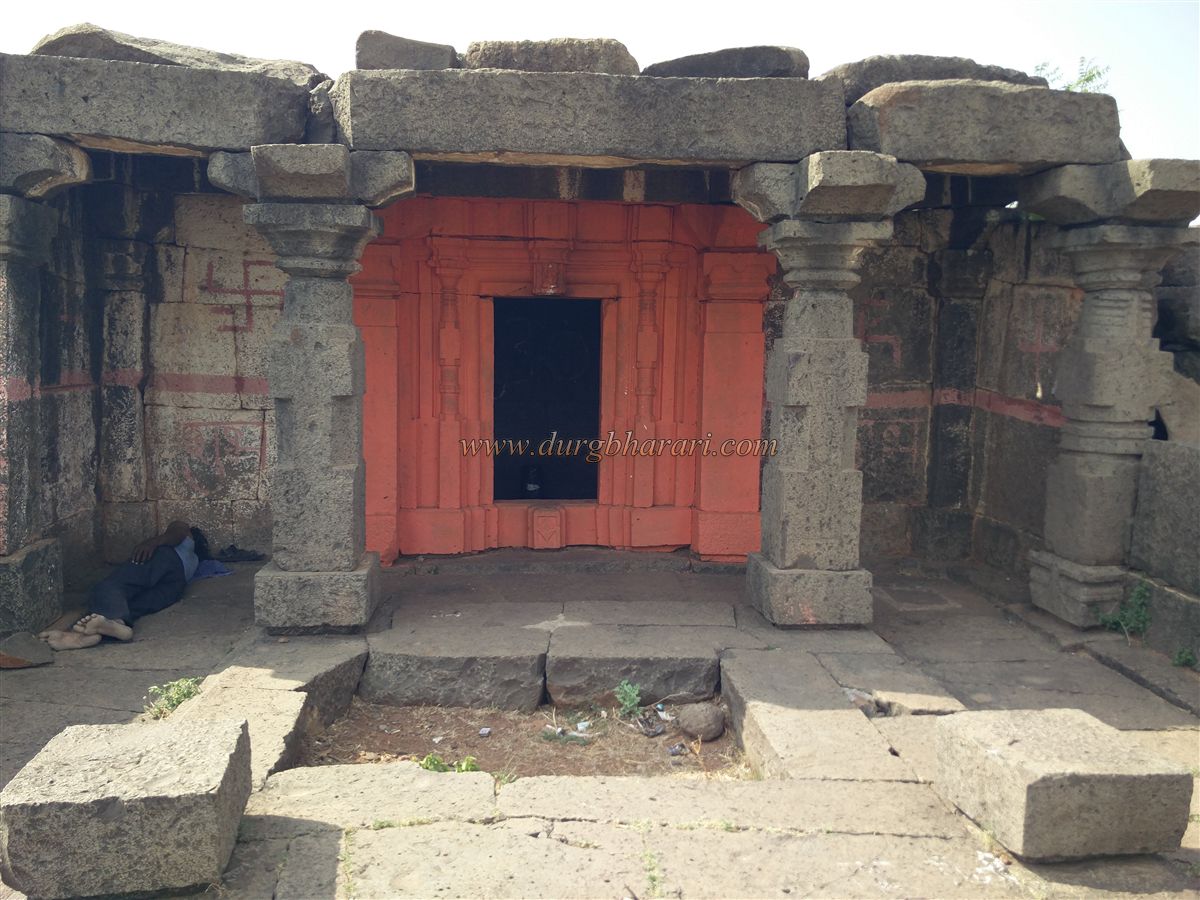
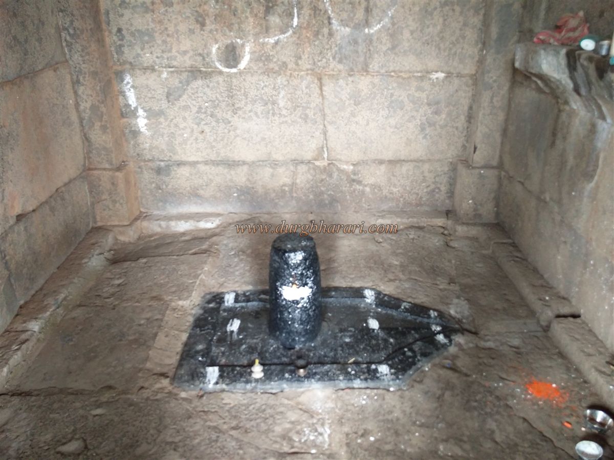
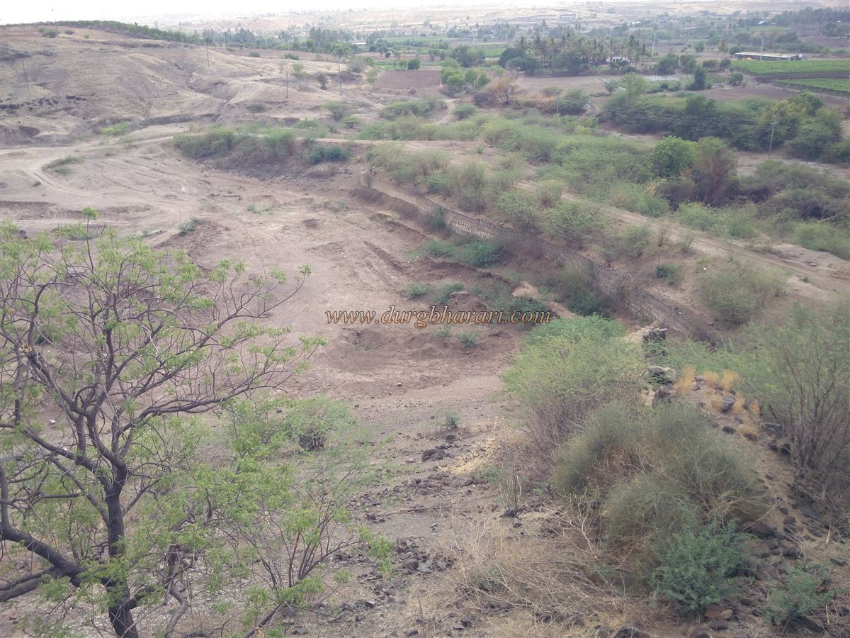
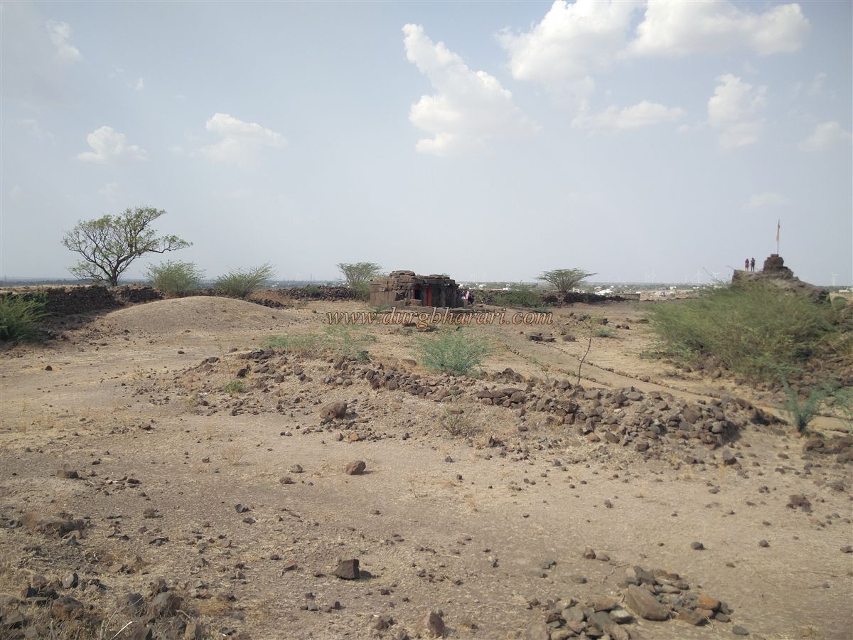
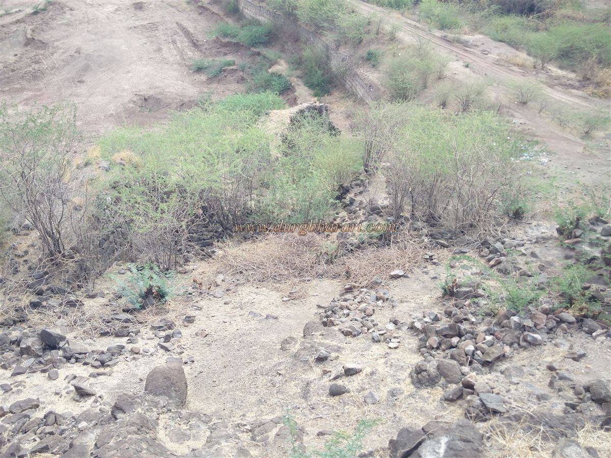
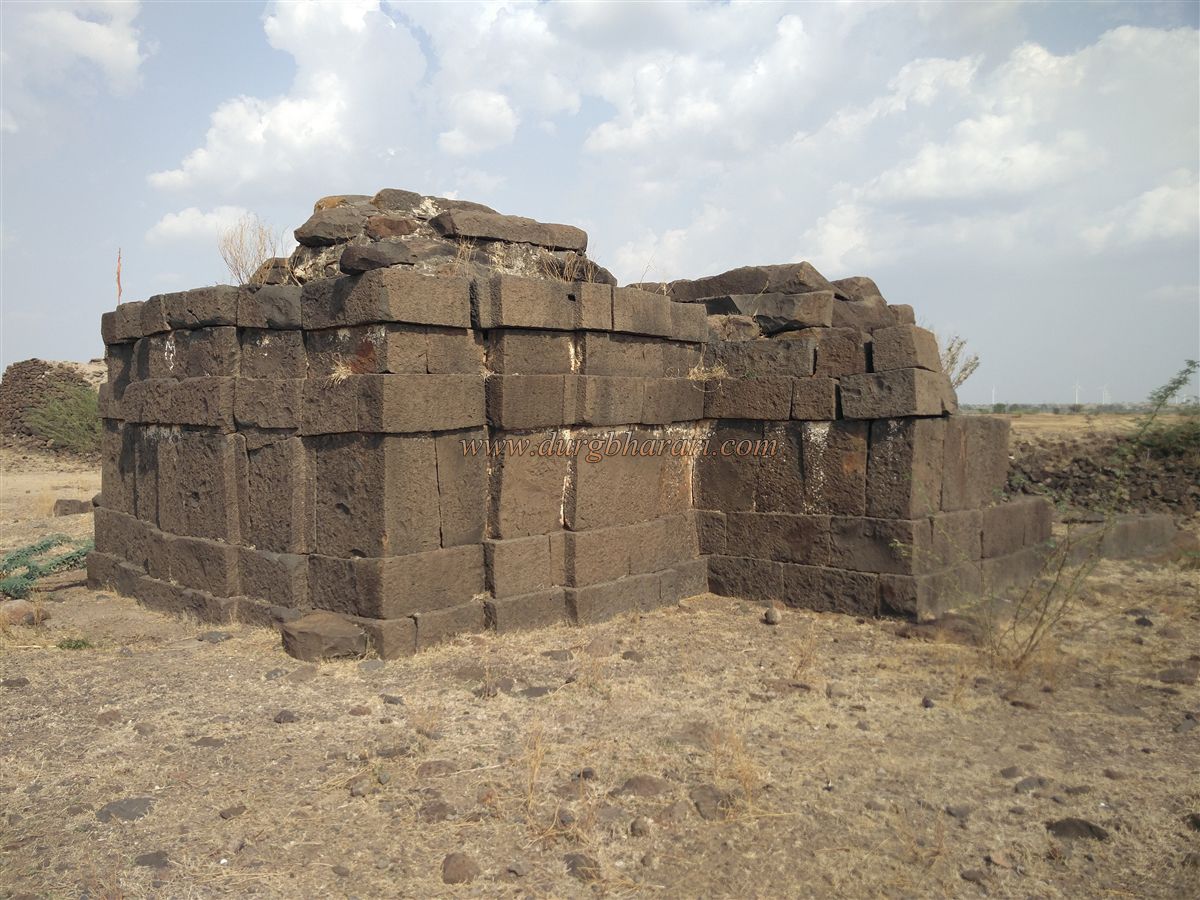
On the side opposite the gate, at the base of the hill, there is a tank (pond) constructed with dressed stone. The fortification wall seems to extend down the hill to this point. A small gate and descending steps lead toward the tank, but due to the damage and overgrown thorny bushes, it is not possible to descend. Upon entering through the main gate, an ancient temple can be seen on the right. The temple is heavily damaged, but judging by its construction, it likely predates the fort and originally stood on the hill. Once a two-part structure comprising a sabhamandap (assembly hall) and sanctum, only the sanctum now remains. A newly installed Shiva lingam occupies the sanctum. Four carved pillars from the Sabhamandap still stand, and a Ganesha sculpture is carved on the doorway.
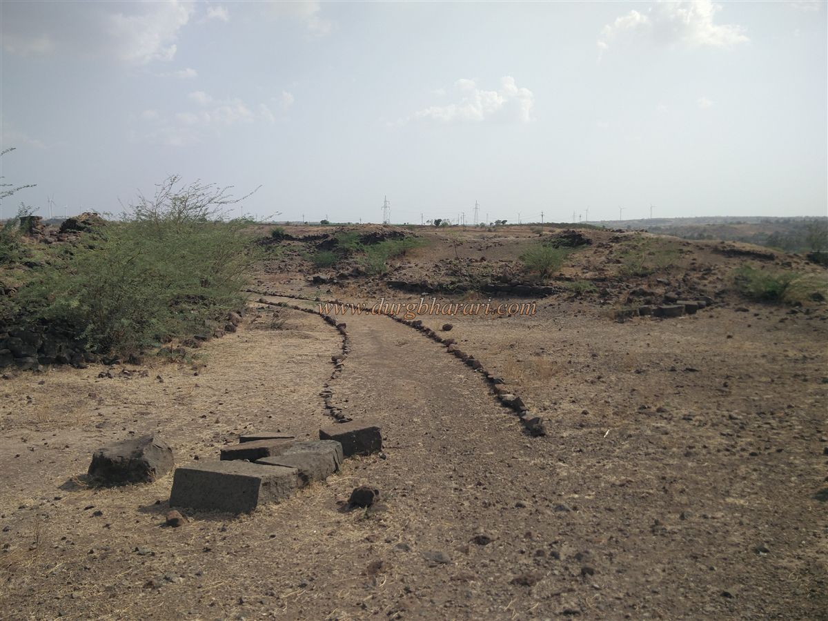
In front of the temple, adjacent to the rampart, is the tallest bastion on the fort, where the saffron flag is hoisted. From this bastion, one can observe the surrounding region as well as the gate and the interior of the fort. While exploring the fort, remnants of plinths of structures and collapsed piles of stone can be seen in various places. There is no water source on the fort itself, and the tank below was likely built to supply water to it. As the fort is small in size, it can be fully explored in about half an hour.
© Suresh Nimbalkar
GALLERY