RAMDARNE
TYPE : HILL FORT
DISTRICT : RAIGAD
HEIGHT : 625 FEET
GRADE : MEDIUM
There are many forts in the valleys and gorges of the Sahyadri that have faded into obscurity with time. Since these forts are not mentioned in historical records and their exact locations are not well-known, few ever visit them. One such fort is Ramdarne Fort, located near Alibag in Raigad district. Judging by its size and location, it seems that this fort was primarily used for lookout and surveillance purposes.
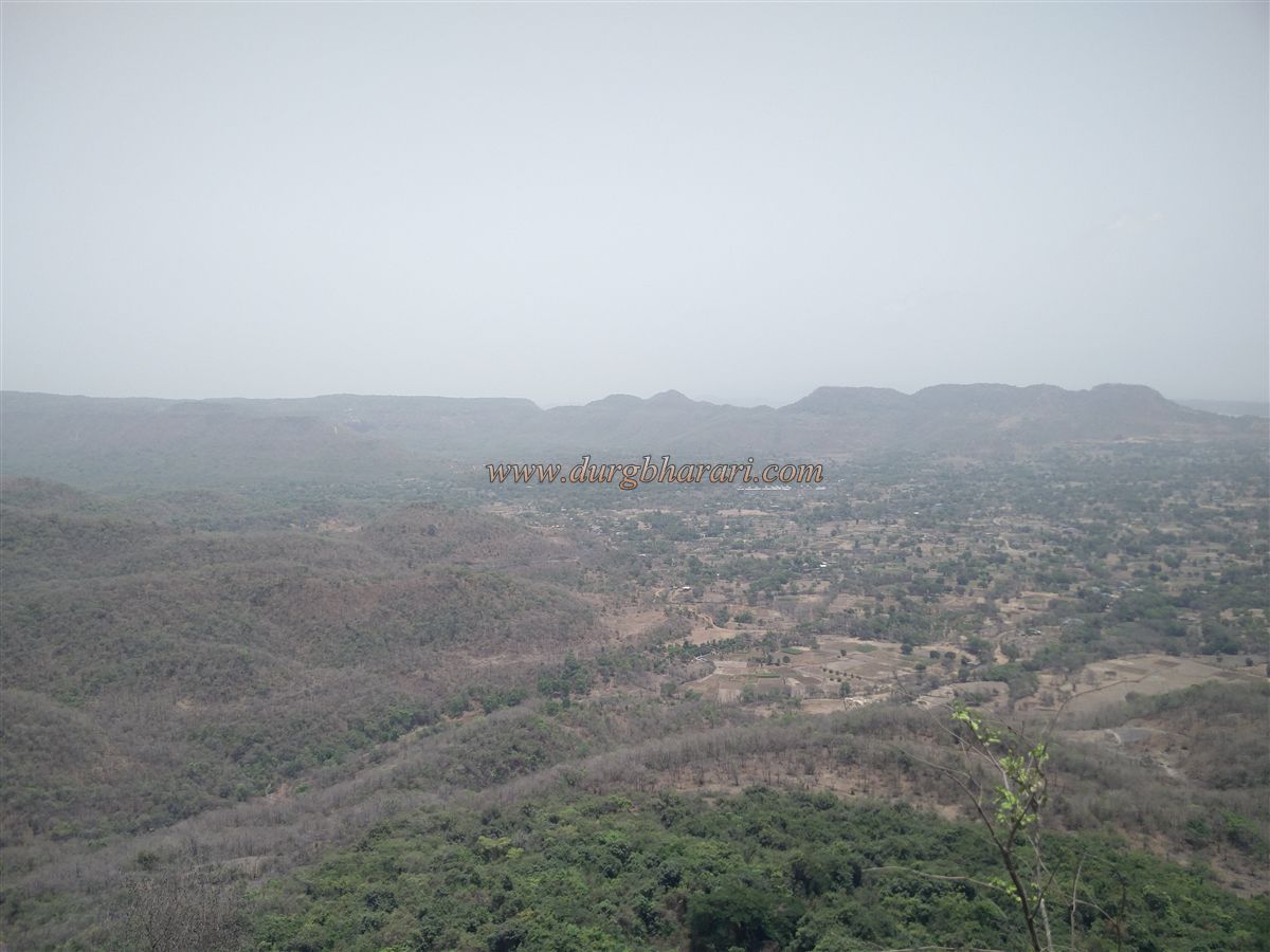
To visit Ramdarne Fort, one must first reach Vaishyet village, located about 7 km from Alibag via the Rewas road. While the locals may not be aware of the fort itself, they are familiar with the Ramdarneshwar Temple located on a nearby hill, so it's advisable to ask for directions to the temple instead of the fort. The plateau below the hill where the fort is located is vast and uneven. There are multiple paths from the surrounding villages to the plateau, but the most straightforward and well-trodden route begins from Vaishyet village.
...
To the east of Vaishyet lies a large stone quarry. Above this quarry, atop a hill, is a small tribal hamlet known as Ramdarne Pada. Crossing the MIDC pipeline road from Vaishyet brings you to this settlement. Above the hamlet is a lake formed by an earthen dam, accessible by an unpaved road that is largely eroded, making walking the best option. It takes about half an hour to reach the hamlet from Vaishyet.
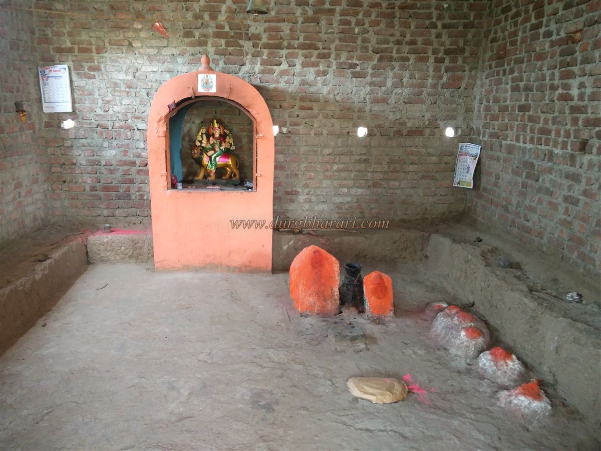
Although the path to Ramdarneshwar Temple is well-defined, there is no clear route beyond the temple to the fort, so hiring a local guide from the hamlet is recommended. Above the hamlet lies a spacious plateau with a large lake formed by damming the terrain. On the bank of the lake stands a temple of a goddess, capable of accommodating 10–12 people for an overnight stay.
From behind this temple, a path leads to the Ramdarneshwar Temple situated on a distant hill. At the base of this hill, one path veers left towards the recently renovated temple, while another continues straight. If one chooses to skip the temple visit, they can continue straight toward the fort or visit the temple and descend the hill from the other side. It takes about an hour to reach this point from the hamlet.
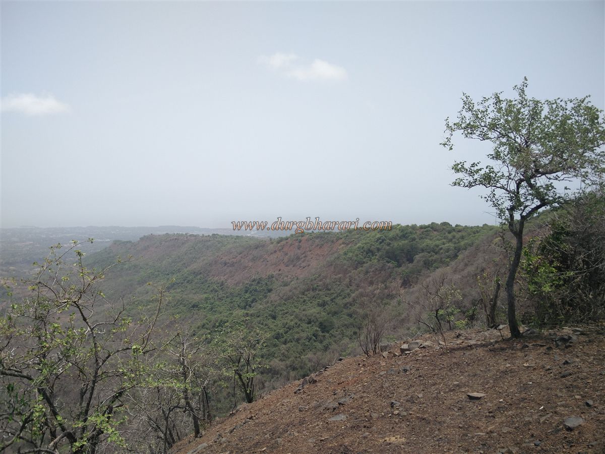
The Ramdarneshwar Temple is built atop the highest hill on the plateau and offers a sweeping view that includes the Thal Fertilizer Plant, Sagargad, Khanderi, Underi, and the Kanakeshwar hills. However, due to an intervening hill between the temple and the fort, Ramdarne Fort is not visible from here.
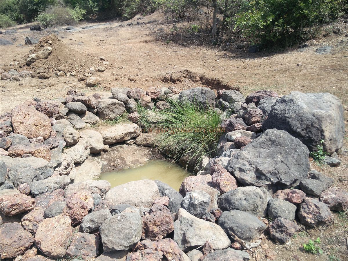
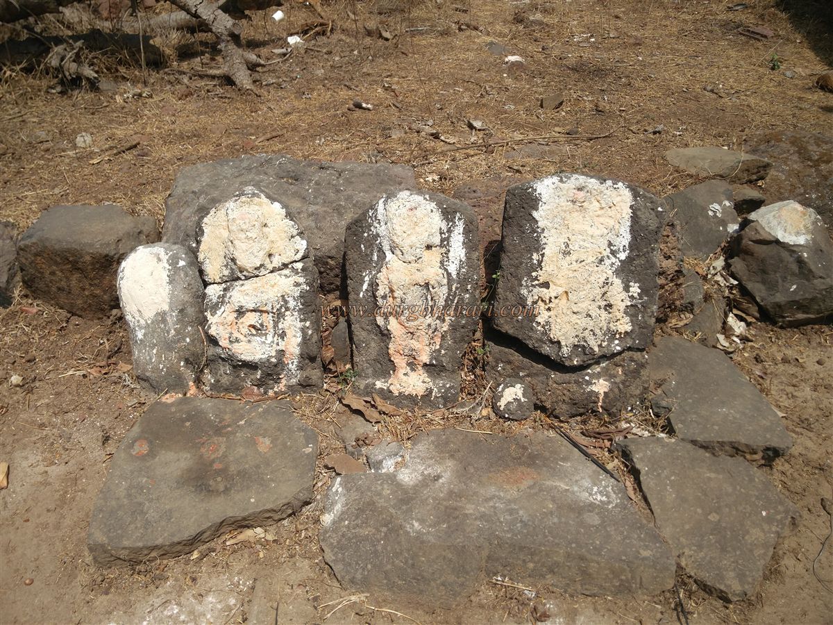
After visiting the temple and descending or continuing along the main trail, one crosses a stream where several water cisterns have been carved. The water in these cisterns is milky in colour, and locals consider it sacred and use it for drinking. After crossing the stream, another recently built temple of a goddess appears, with some worn idols outside and a newly installed idol and rice offerings inside.
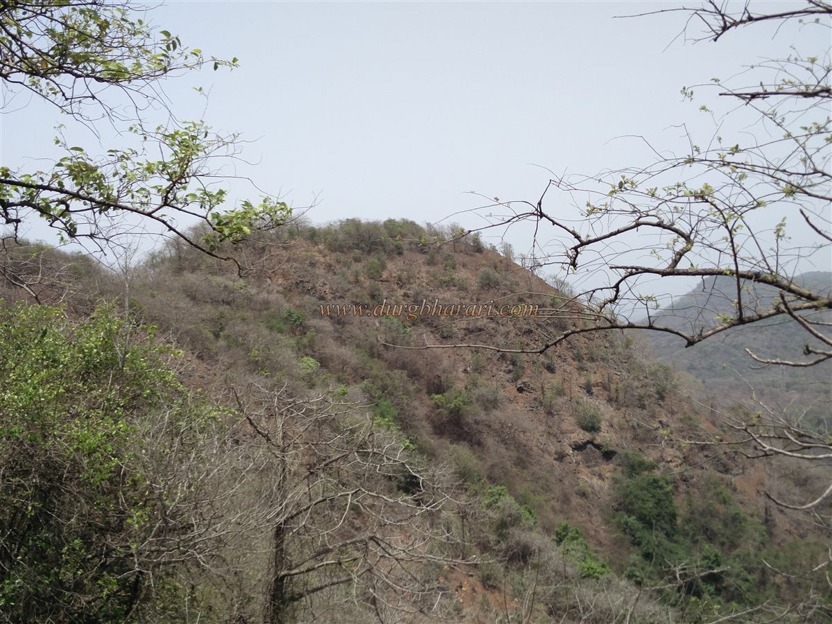
In front of this temple is a hill, and the climb to the fort begins from here. There is no clear path, but one should begin ascending the hill from the right side. After a steep 15-minute climb, one reaches a ridge from where the actual fort—Ramdarne Fort—becomes visible. To reach it, one must descend the ridge and enter the ravine that separates the two hills. This ravine is a man-made trench, likely carved to isolate the fort from the surrounding terrain.
On the side of the fort facing the trench are the remnants of an old outpost, and two paths lead off from the ravine—one to the left and one to the right. The left path climbs to the fort, while the right path leads to a set of water tanks carved into the rock. The path to the tanks has collapsed near its end, making it impossible to reach them directly, but the three tanks are visible from above.
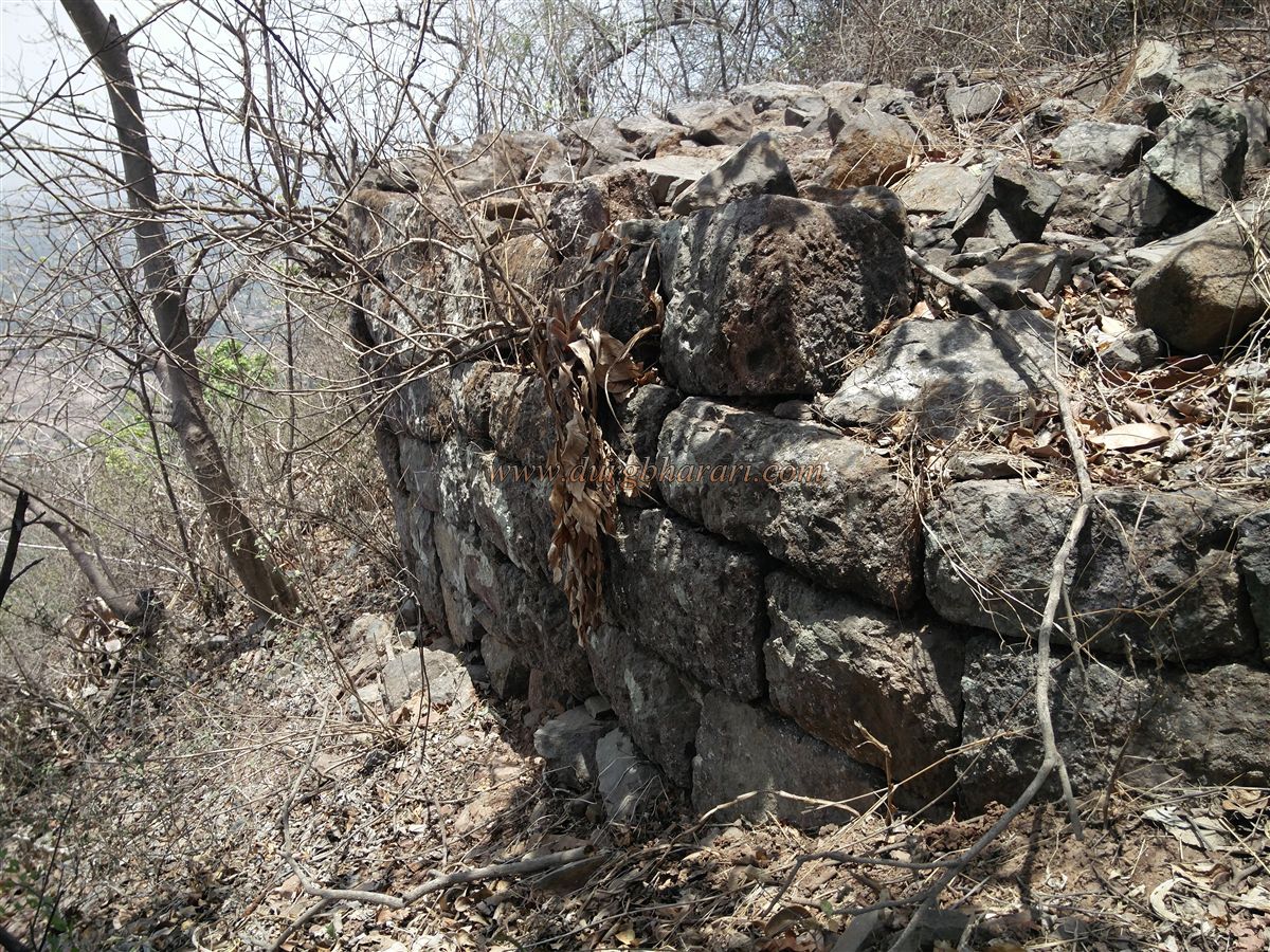
Climbing the left path brings you to a bastion from which you enter the fort. It takes about two to two-and-a-half hours to reach this point from Vaishyet village. The entrance gateway and its arch are completely destroyed, but both bastions and the adjoining fortification walls are partially intact. The construction does not appear to have used any binding material like mortar.
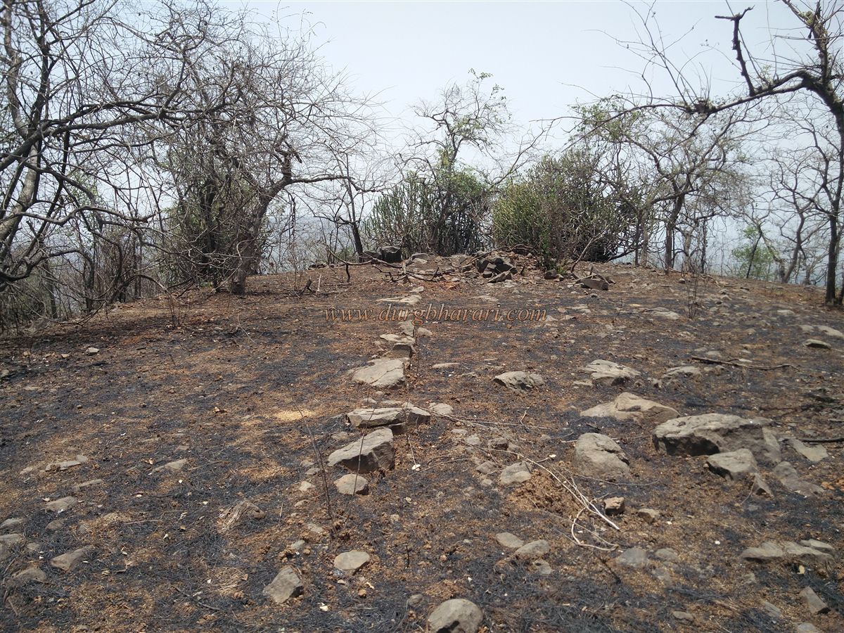
Standing at the gateway, one can spot a trail from Parhur Pada, a village at the base of the fort, leading up to it. The main gate faces west, and the fort rises to a height of 740 feet above sea level. The fort's summit is triangular and spans about 1.5 acres. On the plateau are ruins of a large structure and remnants of several smaller houses.
From the western spur of the fort, the three rock-cut cisterns mentioned earlier can be seen below the fortifications. The fort offers distant views of the Karle Pass, Sagargad, Underi, Khanderi, and the Kanakeshwar hills. Due to its small size, a complete tour of the fort takes only about 15 minutes.
© Suresh Nimbalkar
GALLERY