RAJMACHI
TYPE : HILL FORT
DISTRICT : PUNE
HEIGHT : 2070 FEET
GRADE : MEDIUM
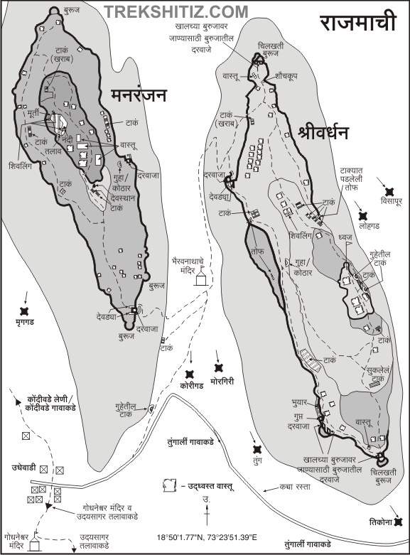
Trekking enthusiasts must first understand that Rajmachi is a single fort that has two citadels located on its machi (plateau) — Manranjan and Shrivardhan. Rajmachi is the only fort in Maharashtra with two citadels, and these citadels are actually independent forts themselves. The layout of this fort is vast, and it houses many significant remains. To do justice to its natural beauty and architectural grandeur, the fort is best understood in three parts: first, the plateau area known as Rajmachi; second, the Shrivardhan Citadel; and third, the Manranjan Citadel. In this article, we will explore the Rajmachi plateau in detail.
The area formed by the mountain range stretching from Lonavala and Khandala in the Sahyadri is known as the Ulhas River valley. Situated near the source of this river, about 15 kilometres northwest of Lonavala on the Mumbai–Pune railway line, lies Rajmachi Fort.
...
. It has existed since the Satavahana era on an ancient mountain pass and is surrounded by dense forests and lush greenery. The elevation of Rajmachi Fort is approximately 2,700 feet above sea level.
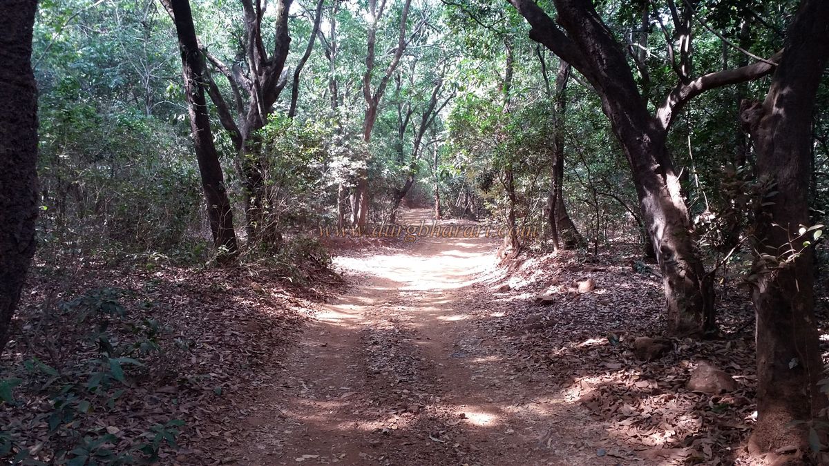
There are two main routes to reach Rajmachi. The first is from Karjat to the village of Kondivade, which can be accessed by bus or rickshaw. From Kondivade, a rugged footpath leads to the fort via Kharvandi. This route takes around three hours to reach the village of Udhewadi. The second route is from Lonavala via Tungarli, covering about 15 kilometres and taking roughly five hours on foot. While descending the Khandala Ghat from Lonavala to Khopoli via the Mumbai–Pune highway, one comes across the "Rajmachi Point." Looking ahead from here, the series of peaks seen are the fort of Rajmachi.
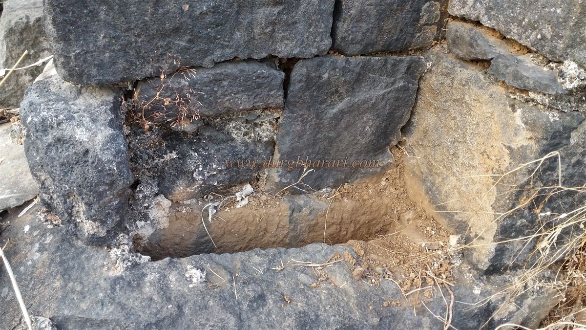
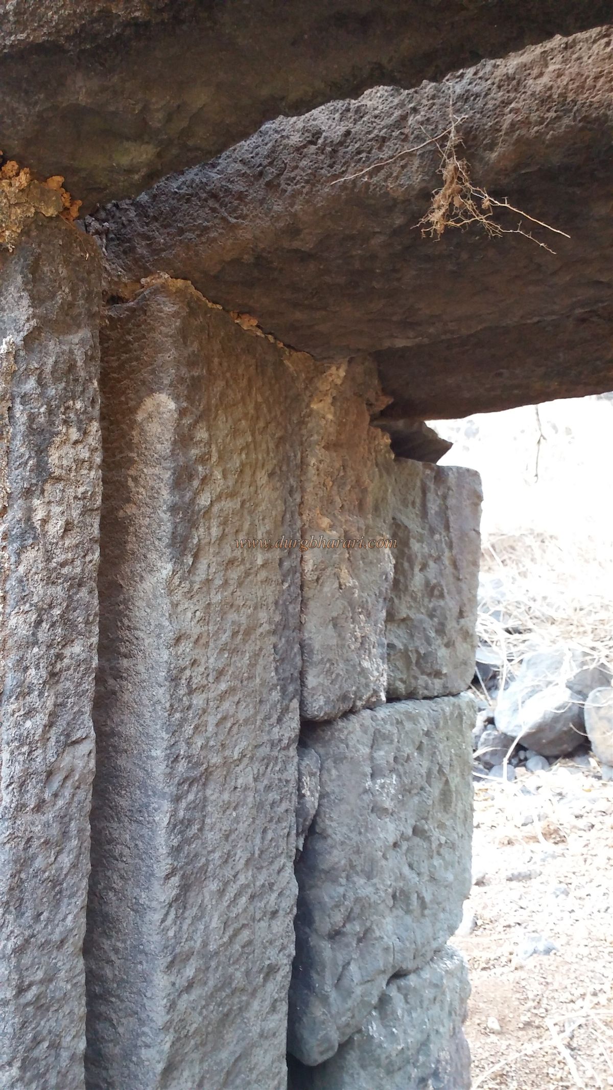
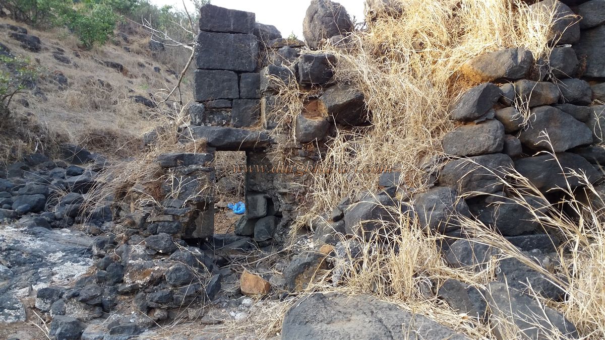
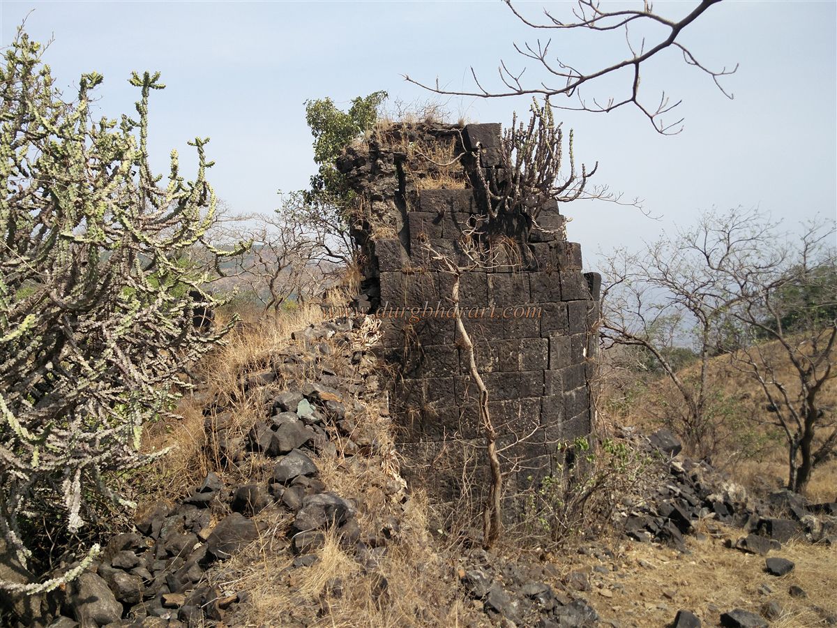
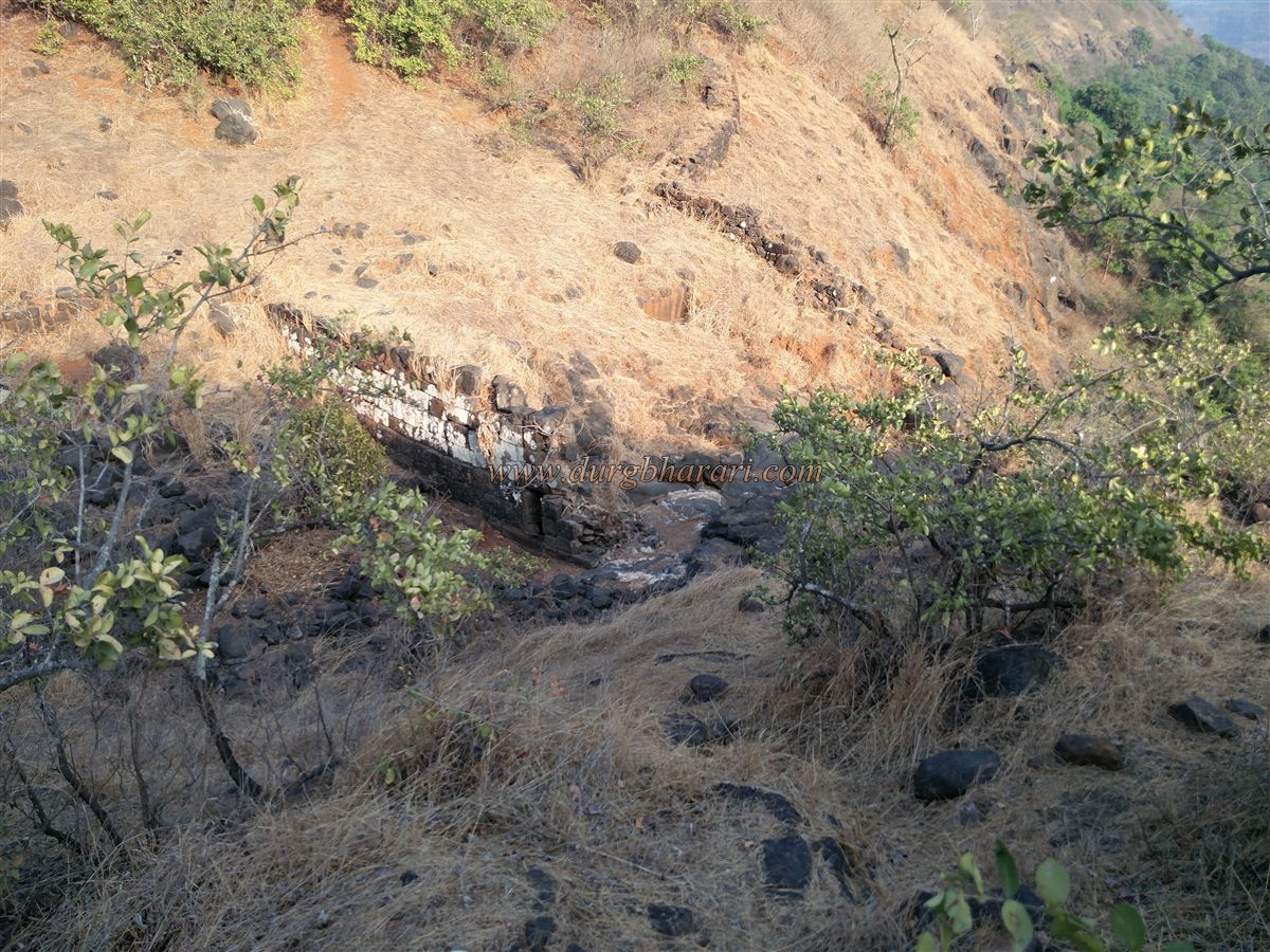
On the eastern and southern sides of Rajmachi is a deep gorge known as Kataldara. The Ulhas River originates from this valley. To the west of the river lies the Bhairav Hill. While approaching the fort via the Tungarli route from Lonavala, the lower-level fortification blocks the path a little before reaching the fort. This gate has now been dismantled and replaced by an earthen path, but the massive stone walls nearby suggest the former presence of a significant gateway.
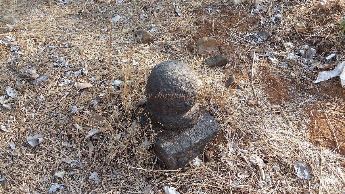
Just inside this entrance, on the left side, are temples of Ganesh and Maruti. A little ahead are some sati stones. Beyond this gate begins the territory of Rajmachi. The plateau features the two imposing citadels of Shrivardhan and Manranjan in its center — Shrivardhan constantly watches over the surroundings. The view from the fort is spectacular, especially during monsoon when waterfalls cascade down the valley.
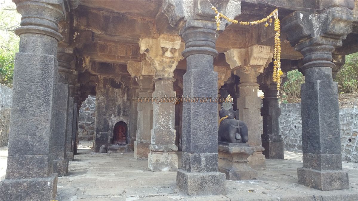
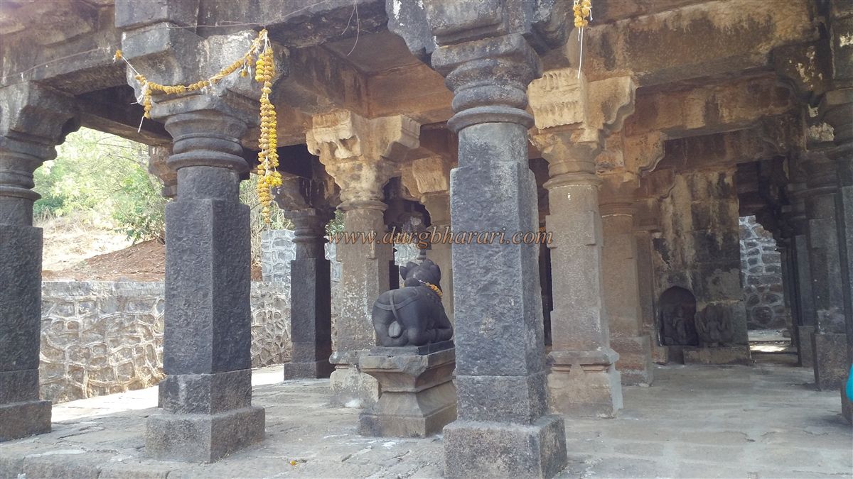
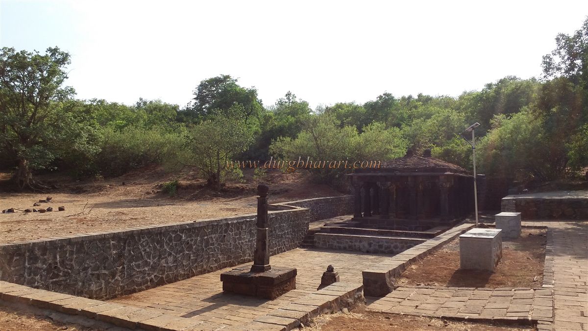
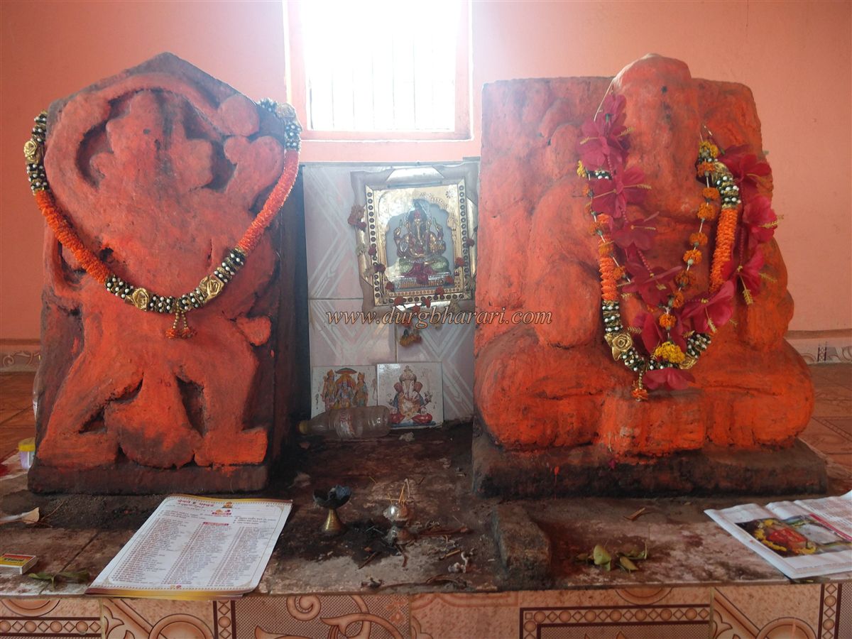
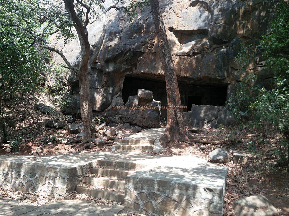
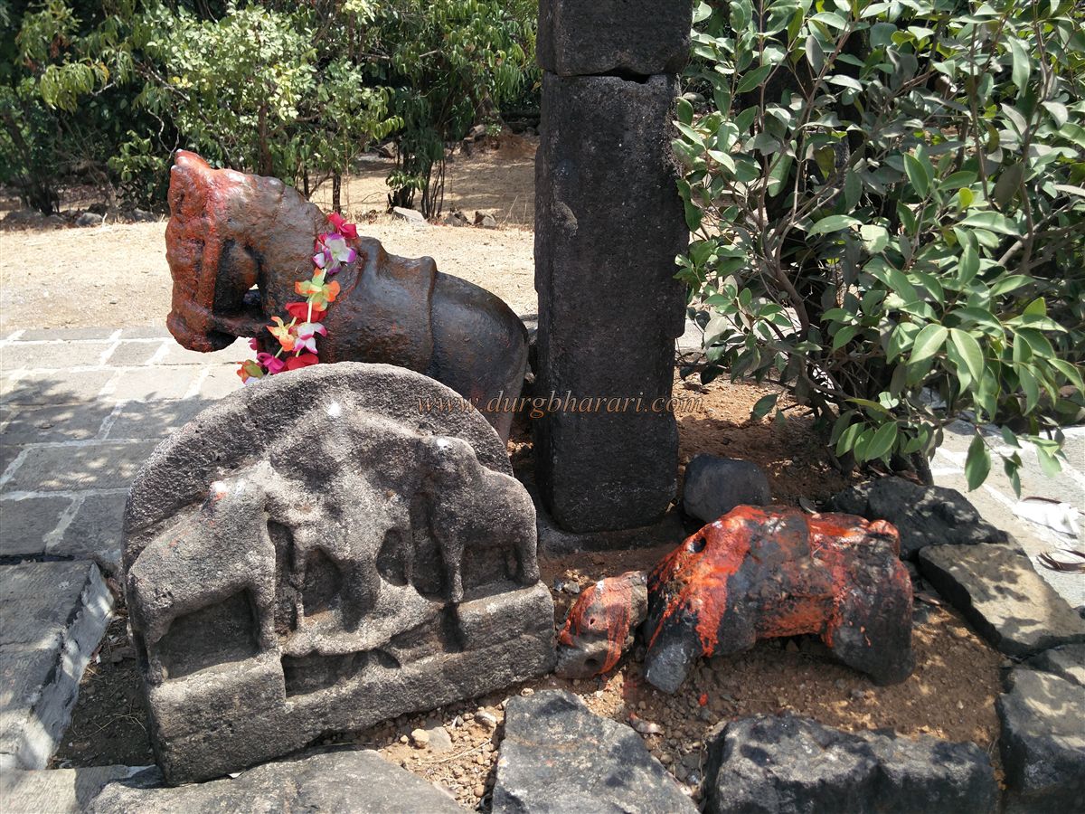
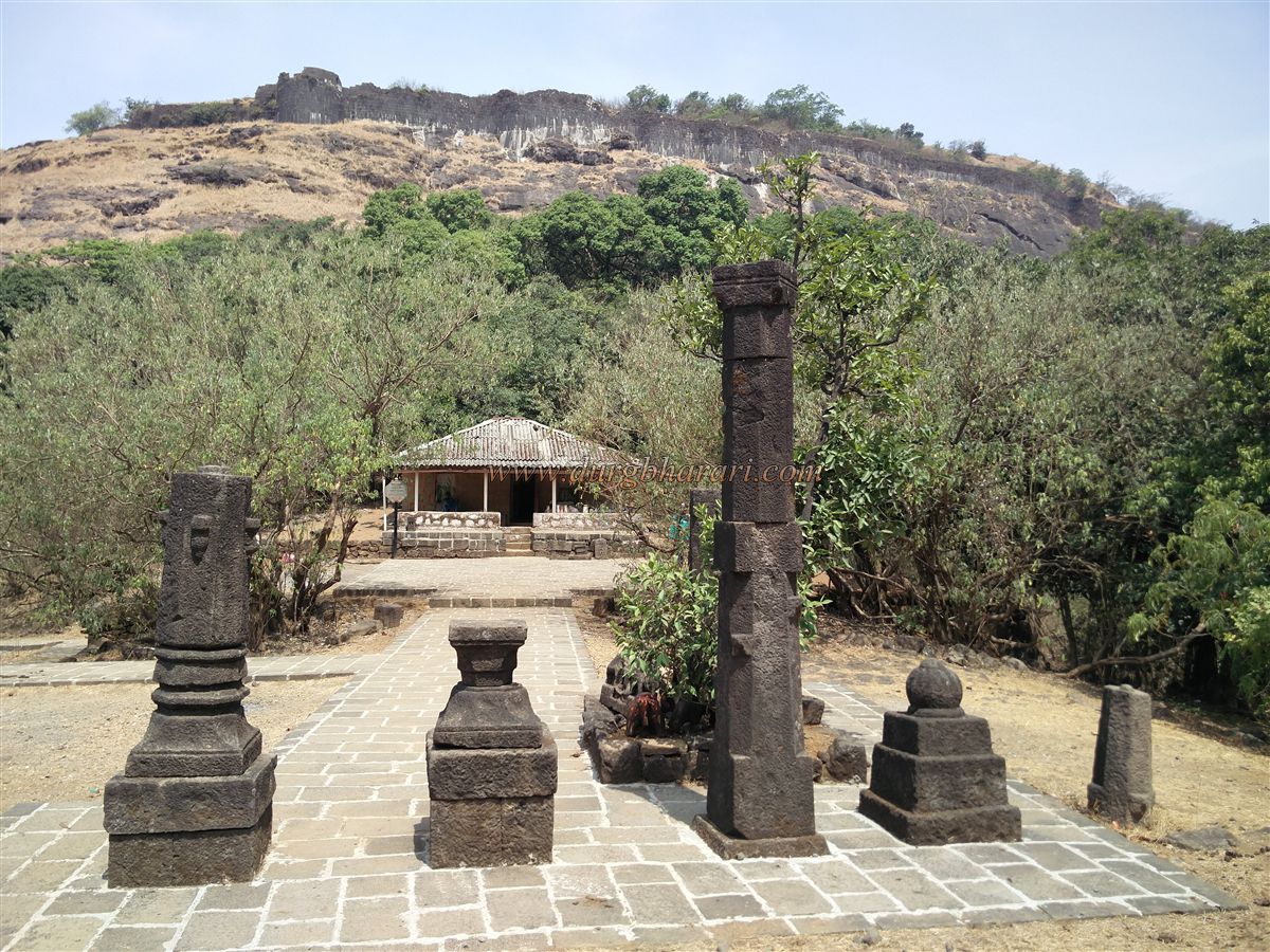
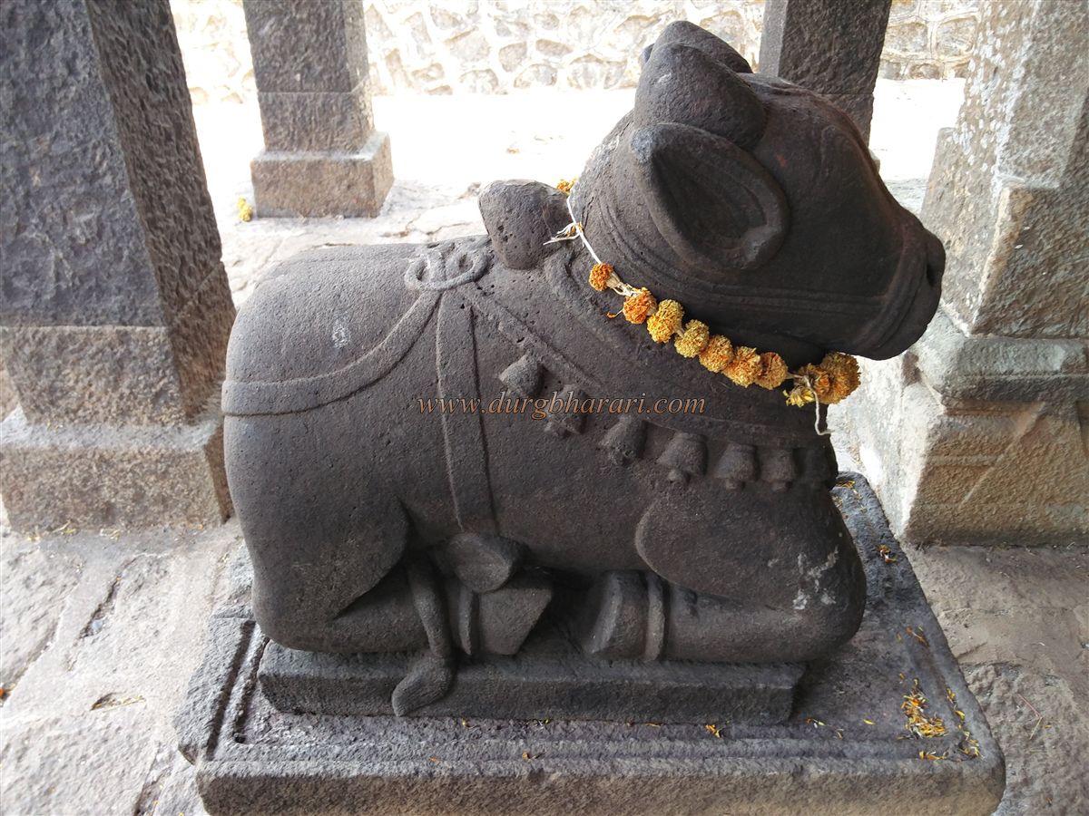
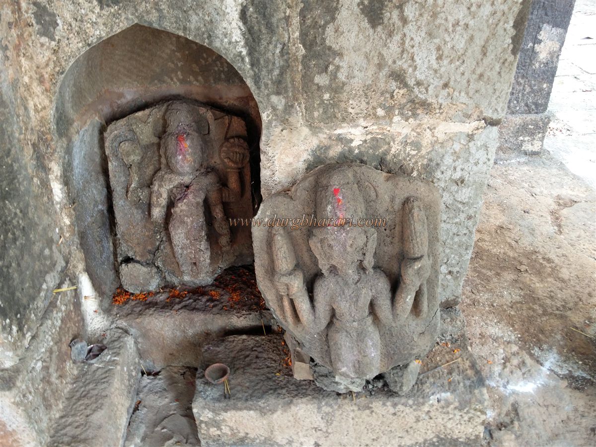
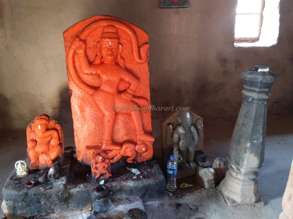
While walking toward the citadels, one encounters rock-cut caves. Between Shrivardhan and Manranjan is a depression where a temple of Bhairavanath stands. This temple houses idols of Bhairav and Jogeshwari, which were donated by Chhatrapati Shivaji Maharaj, Shahu Maharaj, and Peshwa Bajirao I at different times. In front of the temple are two broken cannons and three stone Deepmalas, adorned with beautiful carvings. The sculpture of Gajantlakshmi among them is especially noteworthy.
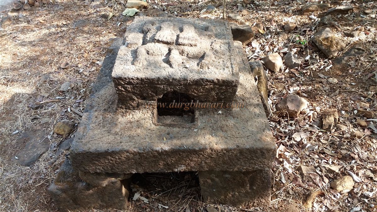
The path to the left from here leads to Manranjan Citadel, and the one to the right to Shrivardhan. Udhewadi is a small fishing village with about 20–22 houses, and a Maruti temple lies adjacent to it. Moving southward from the village is a protected forest containing ruins of various settlements and a laterite stone well, though this well does not retain water.
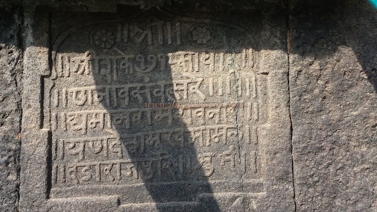
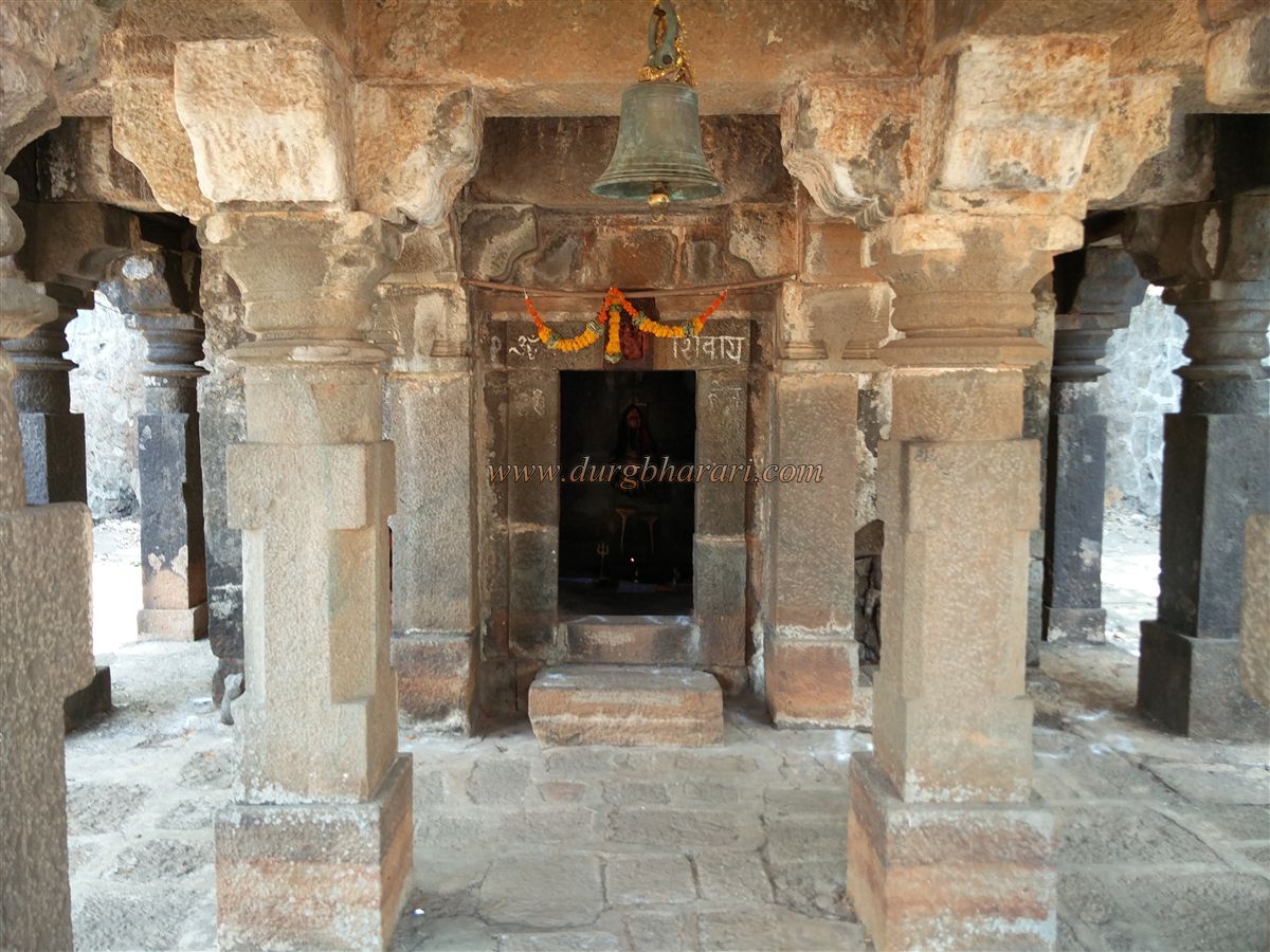
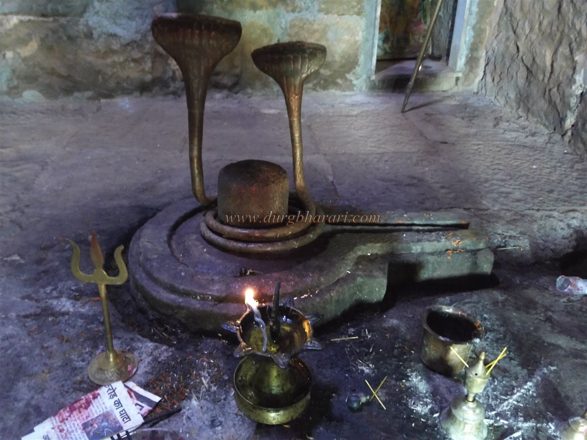
To the southeast of this forest and at a lower elevation lies a large artificial tank. An inscription on the tank wall credits its construction in Shaka 1712 (1790 CE) to Ramrao Narayan Rao Deshmukh, the revenue officer of Dandarajpuri. Beside the tank is a lime kiln. On the western side of the tank is an ancient Shiva temple built in the Hemandpanti style. A spring flows from behind the temple, beneath the sanctum sanctorum, and emerges from a stone cow-mouth spout at the temple’s front. Below this spout is a stone cistern that collects the water, which then flows into the tank. This arrangement creates a natural water source with a temple above and a tank below. Nearby is a well-built stone well.
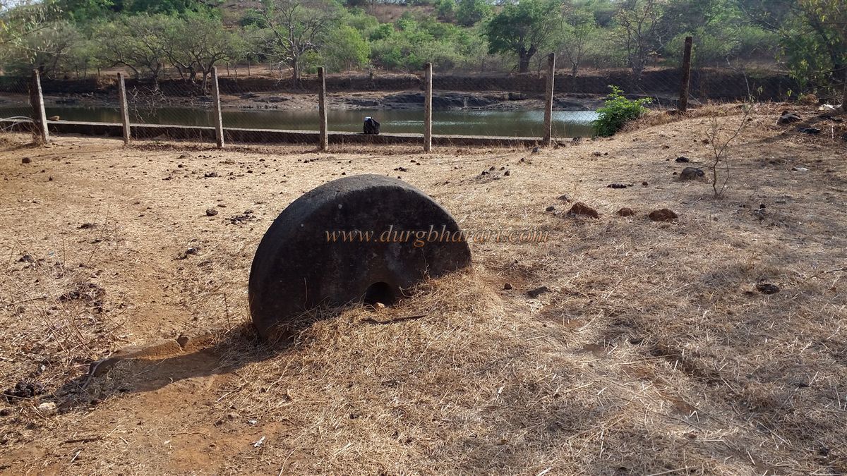
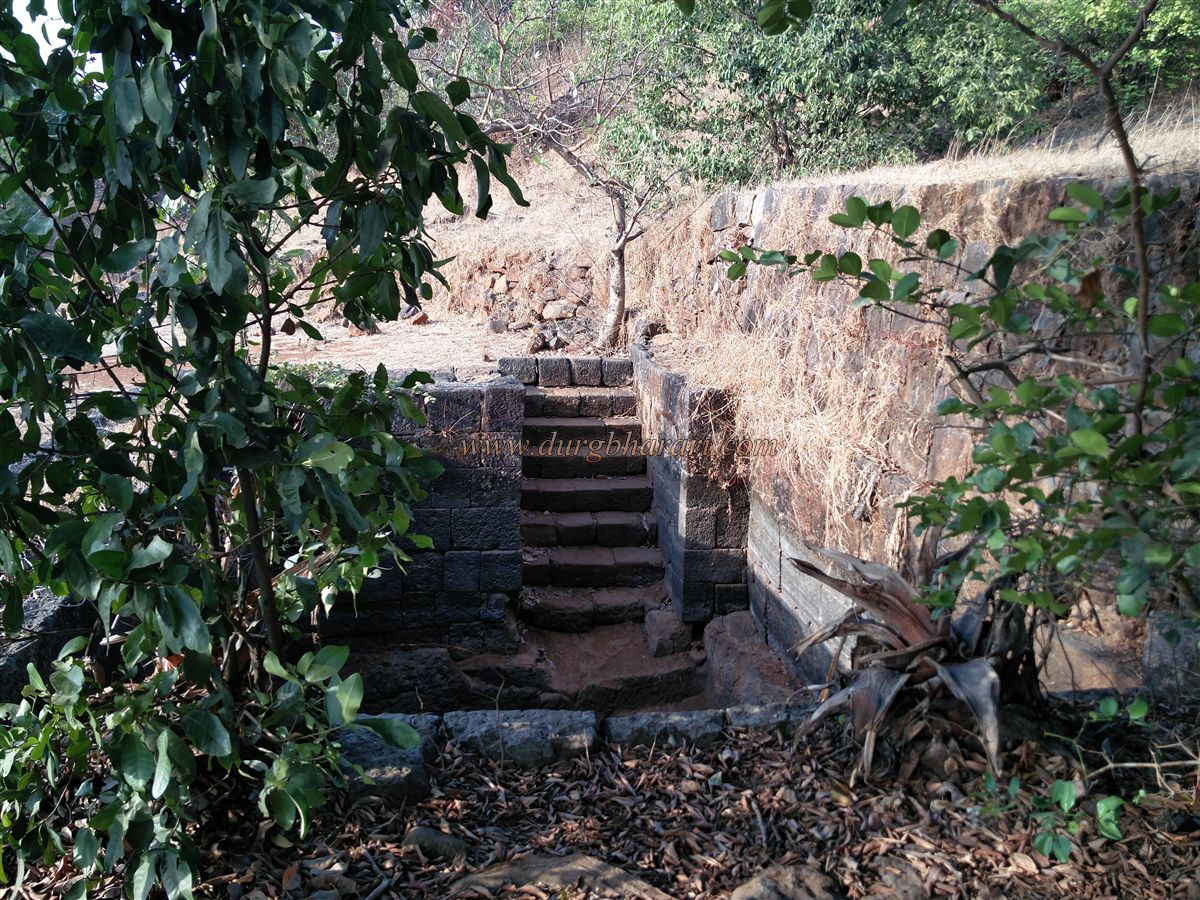
To the west of Rajmachi is the partially ruined Konkan Darwaja (Konkan Gate). On the path leading to it is a rock-cut cistern. Before reaching the gate, a small dam has been built across the water stream. In addition to these, many other small and large ruins are scattered across the fort. For trekking and fort exploration enthusiasts, Rajmachi offers an ideal destination.
In ancient times, Kalyan and Nalasopara were major trading ports. Like Naneghat, Borghat was also an important trade route leading to the Deccan plateau. Rajmachi was one of the forts built to guard this route. At the western foothills of Rajmachi lie the Kondhane Buddhist Caves. These caves, carved during the Satavahana period, were likely created under the authority of the ruling power at Rajmachi. The fort has witnessed the rule of the Satavahana, Chalukya, Rashtrakut, Yadav, Kadambas, Bahamani, Adil Shahi, Marathas, and Peshwa — all of whom contributed in some way to its development.
Rajmachi was referred to as the "Gateway to the Konkan." During Shivaji Maharaj’s Kalyan campaign in 1657, the forts of Rajmachi, Lohgad, Tung, Tikona, and Visapur were brought into Swarajya, bringing the entire region under Maratha control. In 1689, during Sambhaji Maharaj's reign, the fort remained with the Marathas. However, when Aurangzeb invaded Maharashtra in 1704, the fort was captured by the Mughals. After Aurangzeb's retreat, the Marathas reclaimed Rajmachi.
In 1713, Shahu Maharaj handed the fort over to Kanhoji Angre. In 1730, it came under Peshwa Bajirao I. In 1776, the impostor Sadashivrao Bhau occupied the entire Konkan region up to Borghat and seized Rajmachi. His power grew for a time, but the Peshwa soon attacked and reclaimed the fort and the surrounding area. In 1818, Rajmachi fell into the hands of the British.
A minimum of two days is required to fully explore the fort. Udhewadi village on the plateau provides good accommodation and food facilities. On the western slopes of Rajmachi lies the Kondhane Buddhist Caves. Located about 2 kilometres southeast of Kondhane village in Karjat taluka of Raigad district, these caves date back to the 2nd century BCE, i.e., the early Satavahana period. They are an excellent example of monolithic rock-cut architecture. The cave complex includes one Chaitya (prayer hall) and seven Viharas (monastic cells). These caves were likely carved under the authority of Rajmachi rulers at the time.
In the Ulhas riverbed below Rajmachi, a large rock has been carved to hold 21 pitchers of water, and inside it is a sculpture of a child. According to the 1993 Maharashtra Gazetteer for Raigad District (p. 721), locals used to offer prayers here for children. This pond is locally known as "Jijau Kund," and people bathe here with great devotion.
© Suresh Nimbalkar
GALLERY