RAJKOT
TYPE : COASTAL FORT
DISTRICT : SINDHUDURG
HEIGHT : 0
GRADE : EASY
The fort that stands as a symbol of pride for the Marathi people on the seashore is the Sindhudurg Fort. The Sindhudurg district derives its name and identity from this very fort. It is often said that visiting Malvan without seeing the Sindhudurg Fort is like going to a temple without seeing the deity. Therefore, tourists coming here make it a point to visit the Sindhudurg Fort. However, just like in temples where devotees first see the Nandi or the turtle idol before entering, people often forget the significance of the surrounding forts when visiting Sindhudurg. The same can be said about the lesser-known forts around Sindhudurg, such as Padmagad, Rajkot, and Sarjekot, which were strategically built by Shivaji Maharaj for the defense of Sindhudurg. While tourists visit Sindhudurg, these auxiliary forts are often neglected and have now become desolate.
...
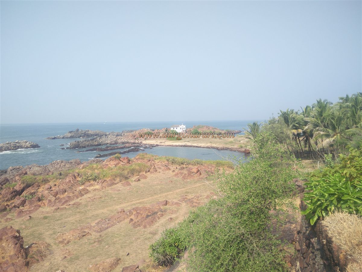
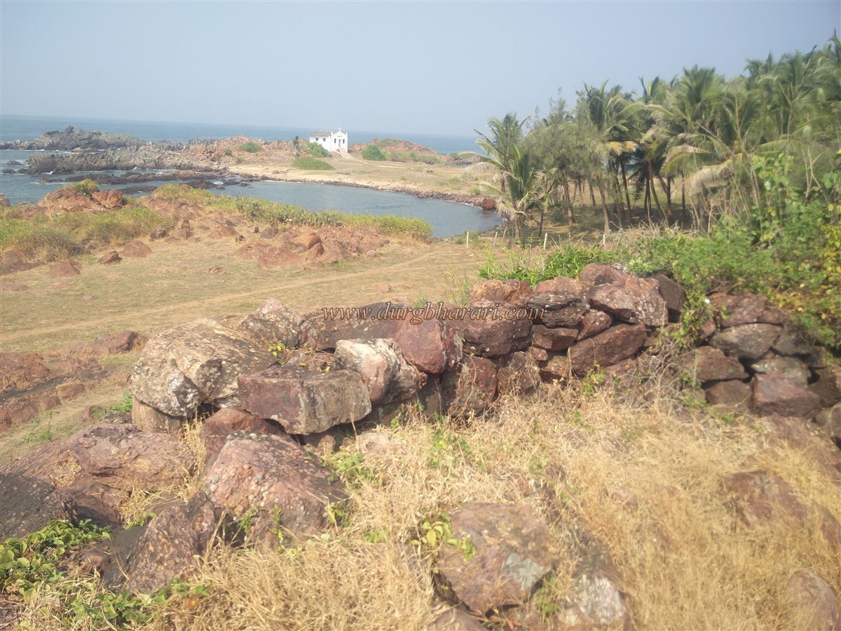
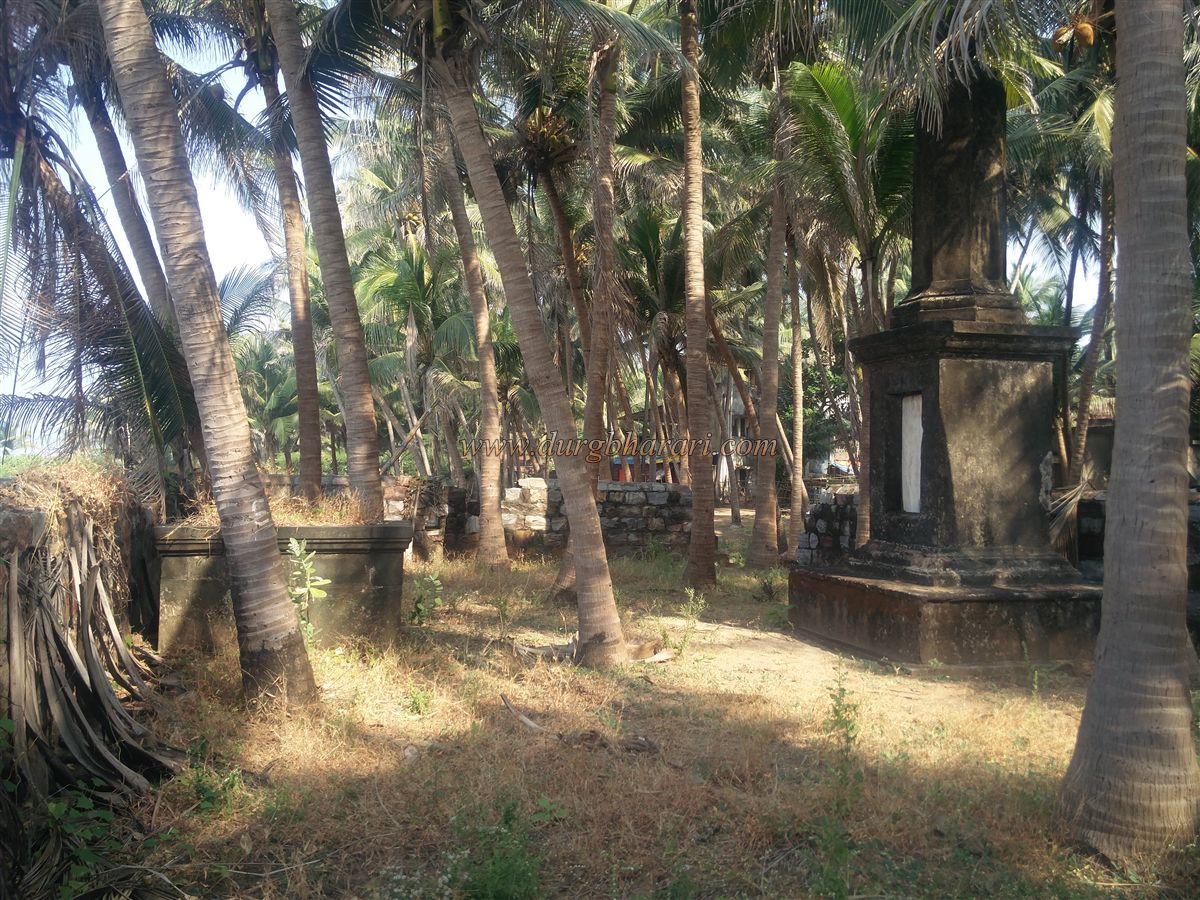
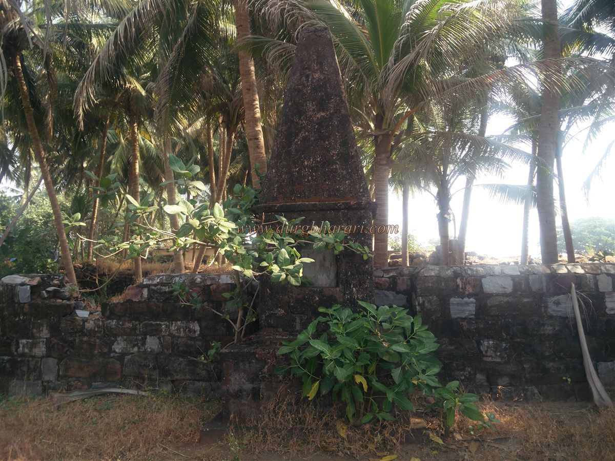
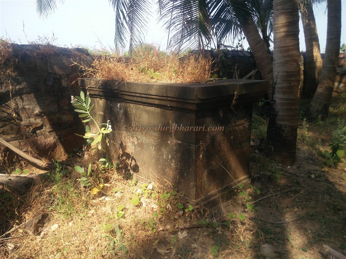
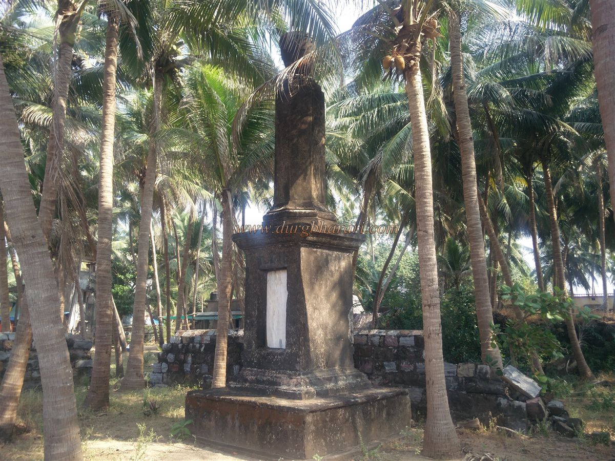
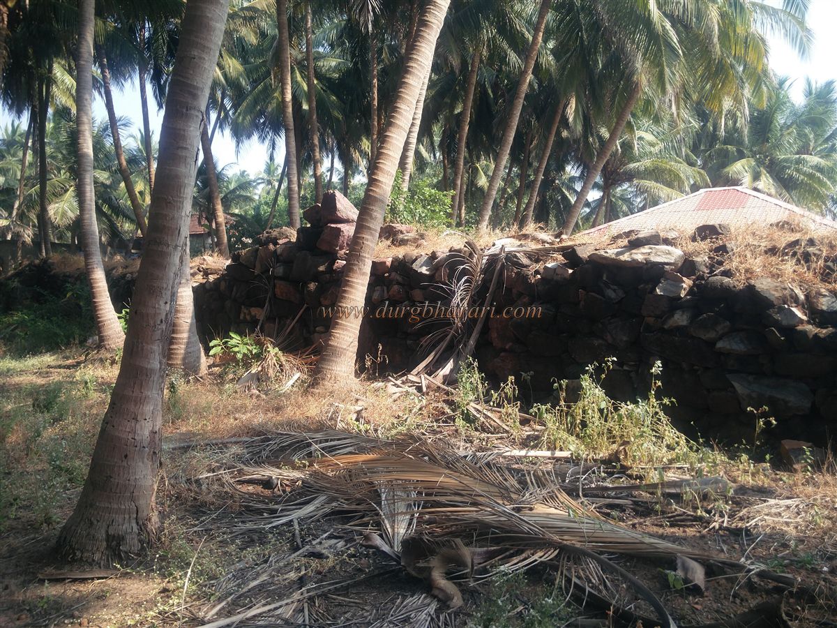
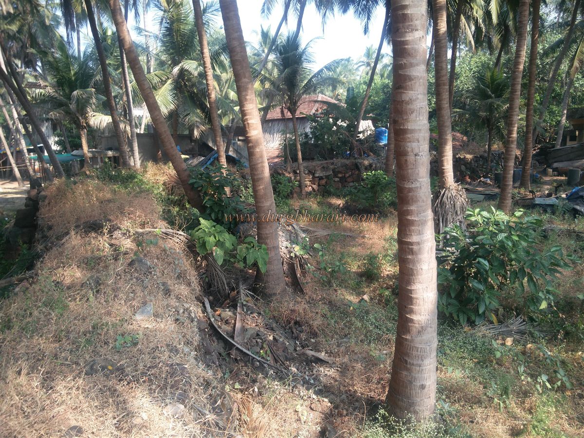
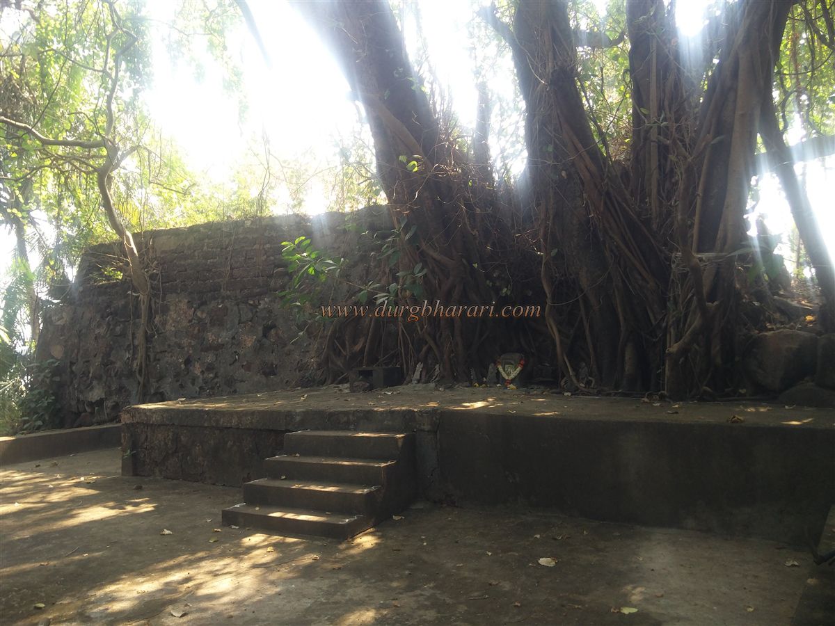
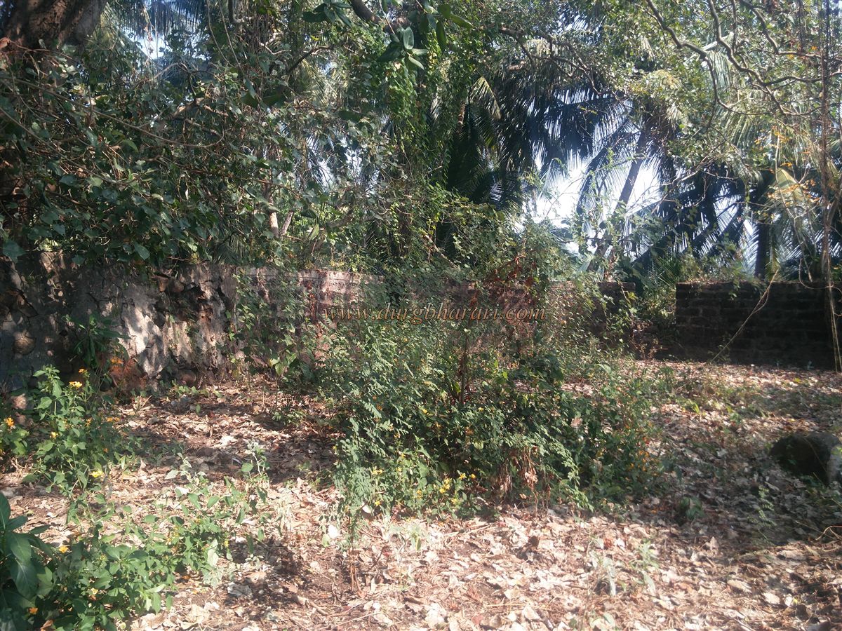
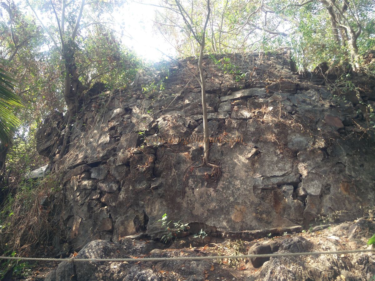
To the north of Sindhudurg, on a high rocky projection into the sea, stands the fort of Rajkot. The distance between Sindhudurg and Rajkot in a straight line is less than 3,000 feet. This fort was built to protect Sindhudurg from land-based attacks. It can be reached on foot from the Jay Ganesh Temple located in the Medha area of Malvan town. This rectangular-shaped fort covers an area of about 3 acres, and its entrance gate is now completely destroyed. The fort is bordered on three sides by the sea and on one side by land. When standing on the shore, one can see a structure atop an elevation directly in front. This structure stands on a bastion facing the sea. On the way to this bastion, under a large tree, there is a domed memorial of a notable person. Due to large-scale fish drying on the flat parts of the fort, one has to tolerate a strong, unpleasant odor.
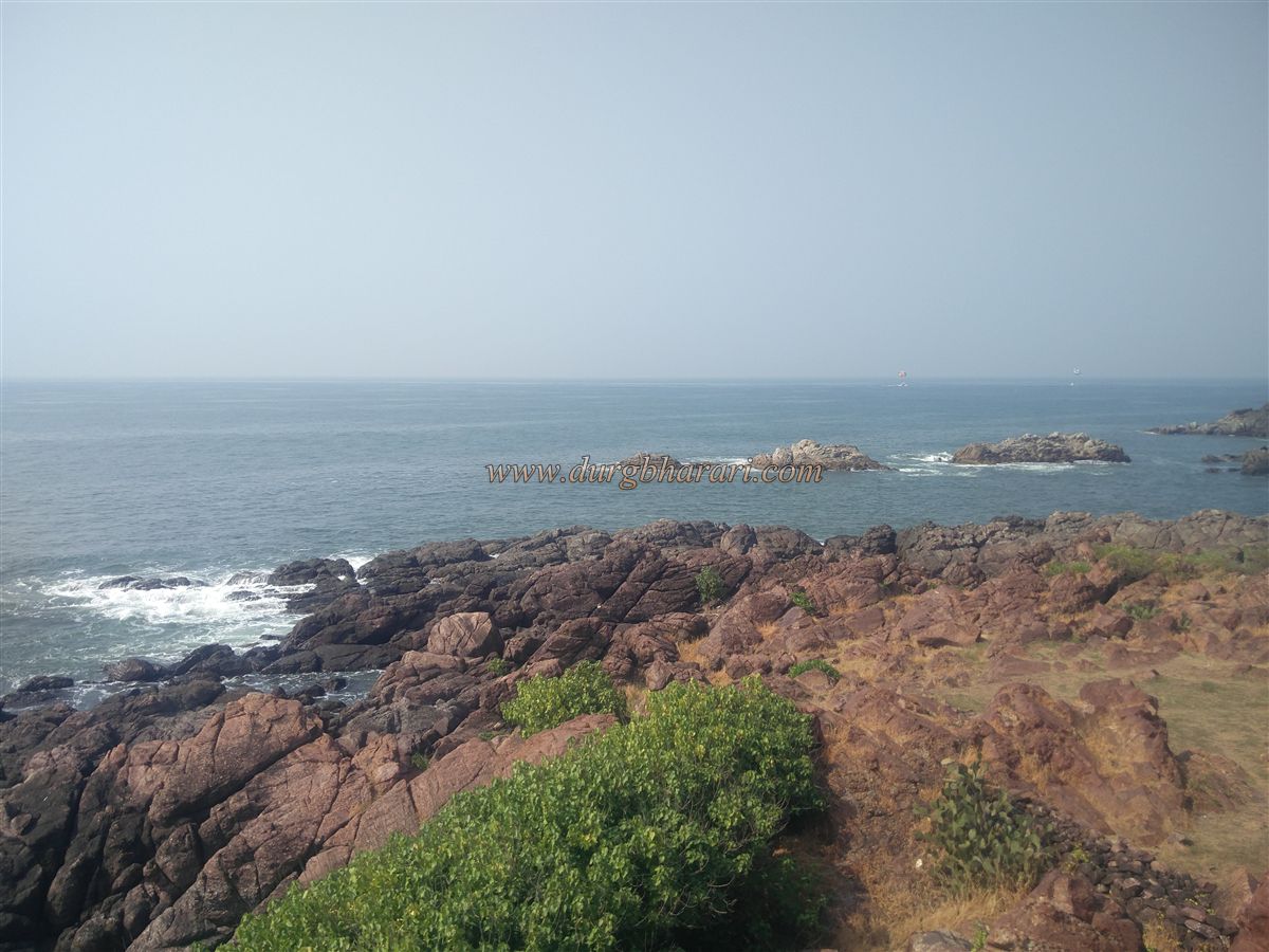
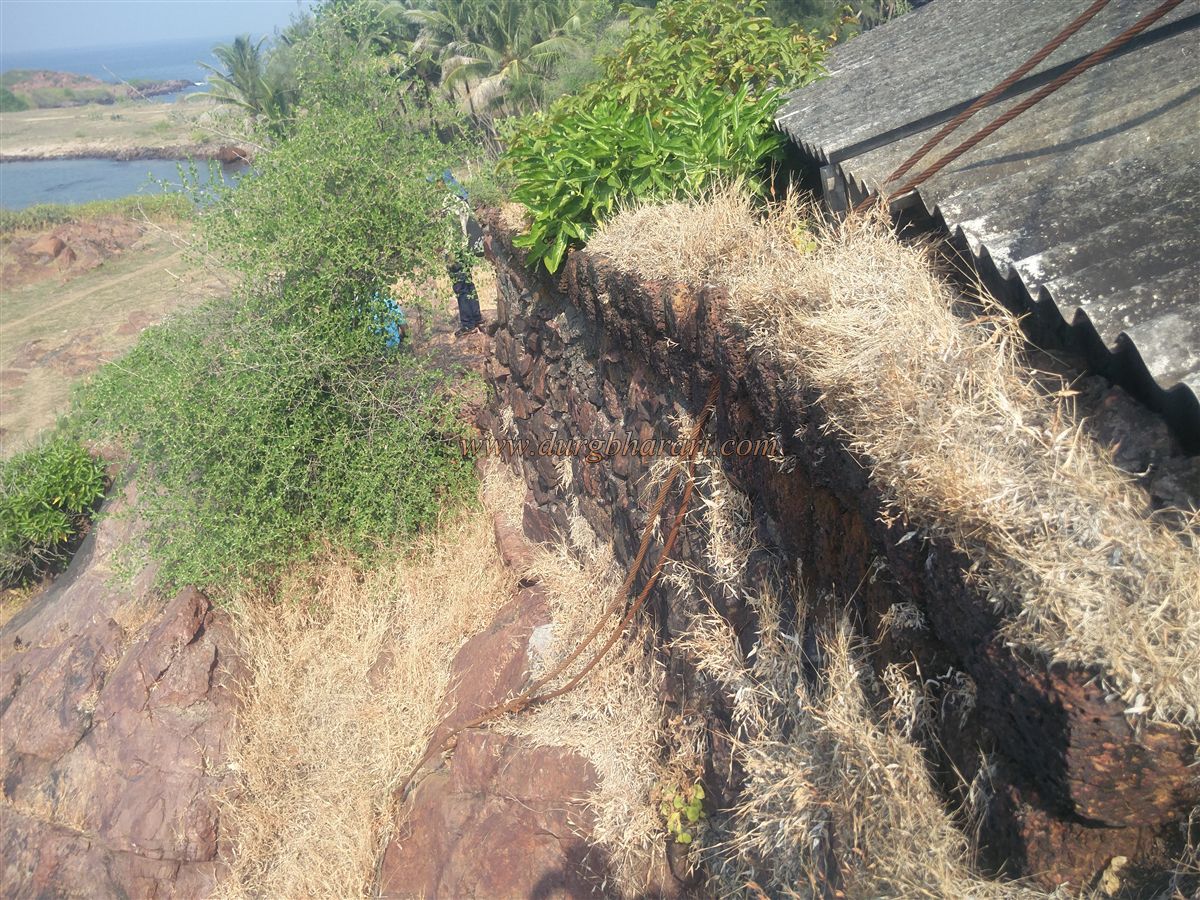
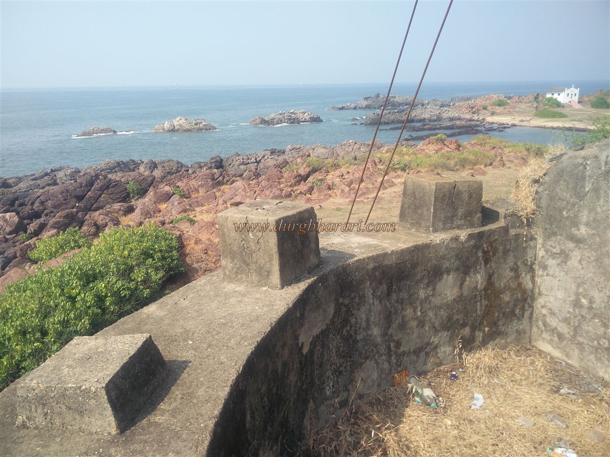
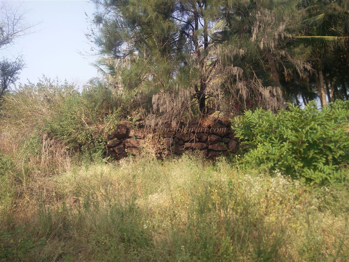
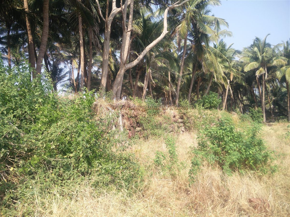
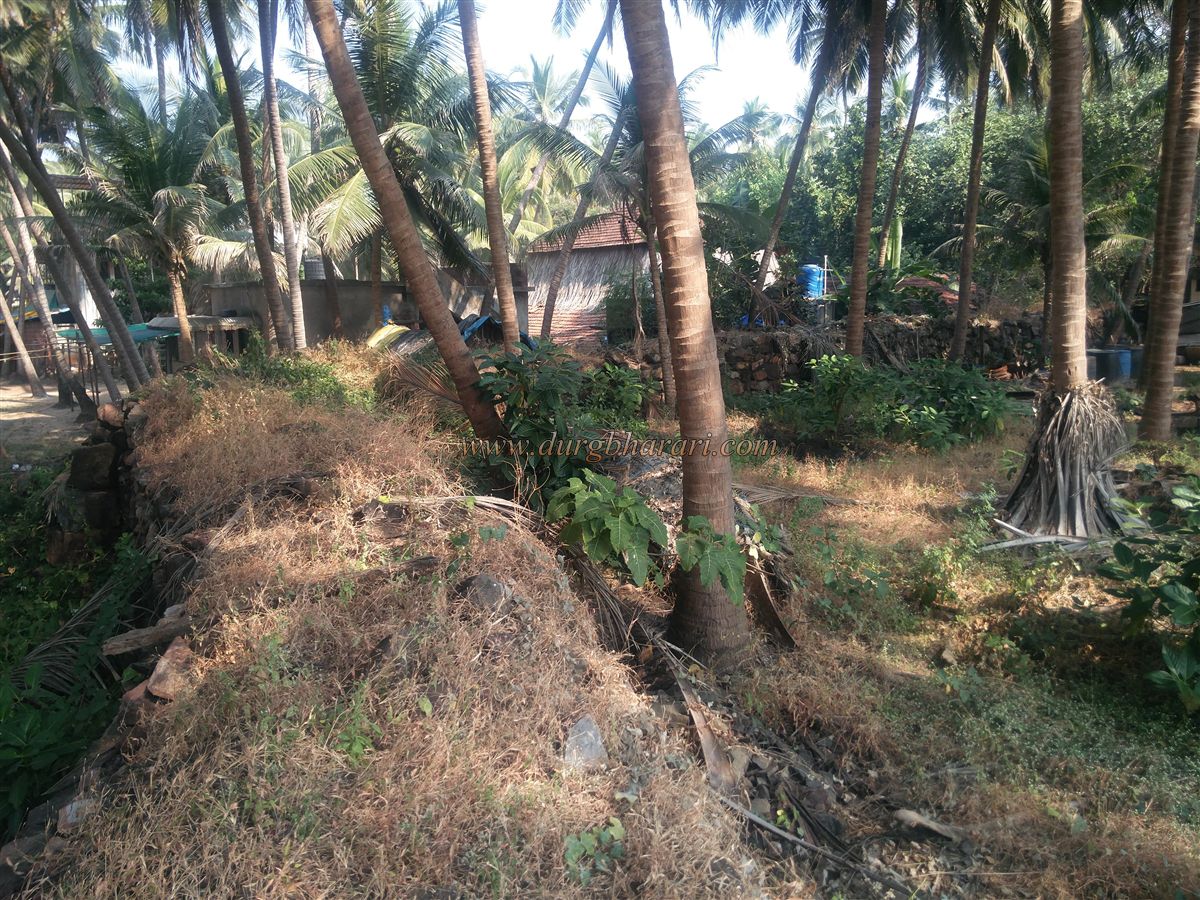
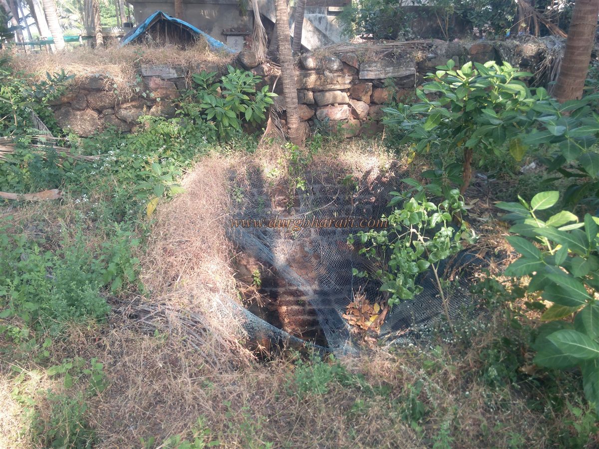
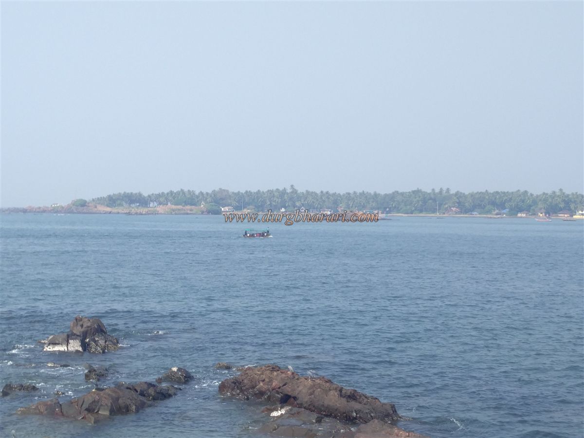
From the bastion, one can see Sindhudurg Fort and the vast, endless Arabian Sea in the distance. As one moves along the coast from this bastion, another ruined bastion comes into view. Beyond this, towards the landward side, the fort’s ramparts are still standing and measure about 5 to 6 feet in height. No binding mixture was used in the construction of these ramparts. As one proceeds along the edge of the ramparts, four English officers’ tombs enclosed within a compound outside the rampart can be seen. At the end of the rampart is a third, collapsed bastion, and adjacent to it is a well-constructed water well. This well is the only water source within the fort and is still in use today. Moving further along the rampart, one comes across a house, and in front of it is a well-preserved fourth bastion. This bastion features large cannon slits for artillery fire. Attached to this bastion within the fort premises are three or four houses. This concludes a half-hour tour of the fort.
The construction of Rajkot Fort was carried out alongside Sindhudurg between 1664 and 1667. In 1763, when the Portuguese attacked Sindhudurg, records mention that 200 Maratha soldiers and six cannons were stationed at a nearby small fort, which was likely either Rajkot or Sarjekot. In 1766, under a treaty between the British and the Karvirkar (Kolhapur State), the British requested permission to set up a warehouse and anchor large ships at Rajkot Fort. According to the treaty signed on October 1, 1812, between the British and the Karvirkar, Rajkot and Sindhudurg Forts came under British control. During a British inspection of the fort in 1862, it was noted that one cannon remained on the fort and that much of the fortification had significantly deteriorated.
© Suresh Nimbalkar
GALLERY