RAJDHER
TYPE : HILL FORT
DISTRICT : NASHIK
HEIGHT : 4330 FEET
GRADE : MEDIUM
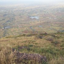
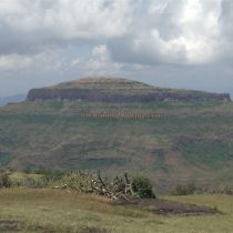
In Maharashtra state Nasik district inherits maximum number of forts. In this district on the mountain ranges of Sahyadri we can find Selbari, Dolbari, Tryambak, Anjaneri, Ajanta, Satmala, Sub mountain ranges where there are more than 65 forts. Out of which Ajanta – Satmala mountain ranges going through Chandwad Taluka we can see forts like Koldher, Rajdher, Indrai, Chandwad, Mesana , Katra and likewise forts. In the Chandwad Taluka on the Ajanta Satmala Mountain the Rajdher fort is one of the important fort is one of the important fort. On the foothills of this fort is the village Rajdher wadi. This village is 10km from Nasik city. This village is situated in the Centre of Rajdher fort and Indrai fort. And while entering Rajdher wadi we can see Rajdher wadi we can see Rajdher fort on the right hand side and Indrai fort on the left hand side. From Rajdher wadi village and going a little ahead of the school there is on right hand side there is a rough road on plateau below the fort.
...
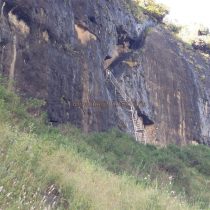
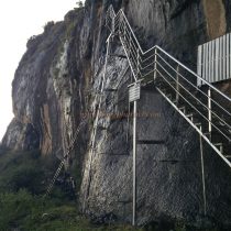
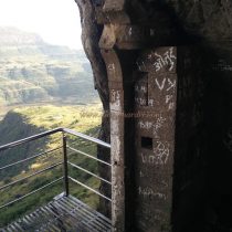
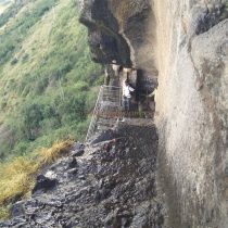
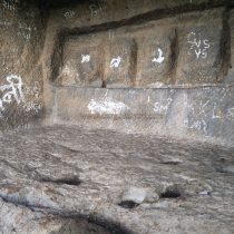
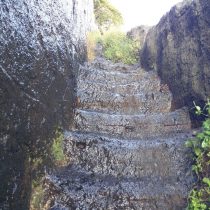
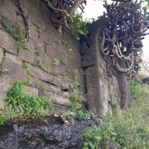
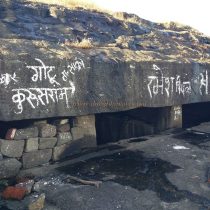
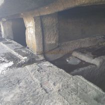
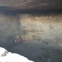
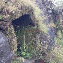
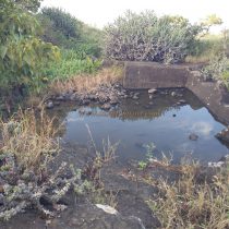
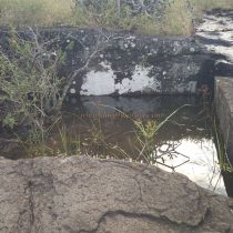
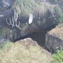
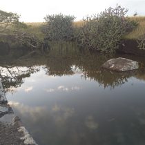
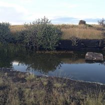
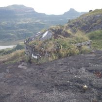
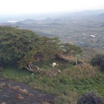
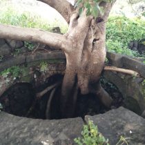
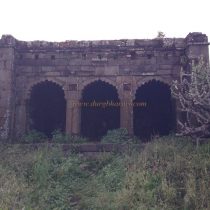
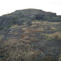
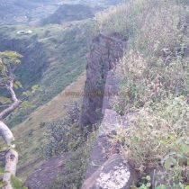
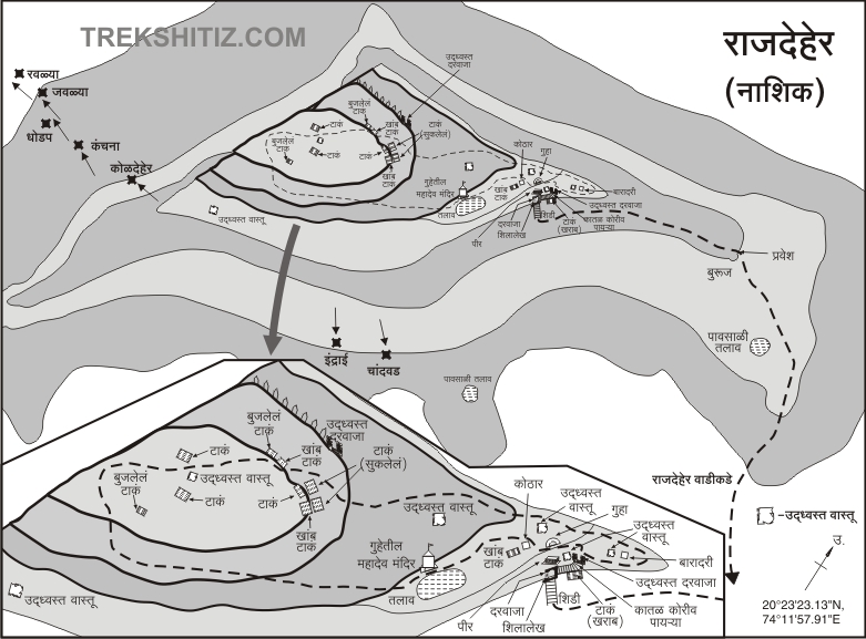
Also while doing the trek of Koldher Rajdher instead of going down the Rajdher wadi village we can go fort from the plateau. We can do the 2 treks of Koldher Rajdher easily in one single day. From Rajdher wadi on the journey to the foothills there are no trees on the way to give shelter from sun and heat so you have to start your journey as early as possible before sunrise. The road is totally dusty and at some places there are markings of white line to indicate the directions and since there are no trees on the way the chances of getting lost are nil. While going on this route you have to clear two steps on the plateau below the fort. On the first leg step on the plateau we can see a pillar sized monumental stone with carvings on all its four sides. On the second step of the plateau on the way going places towards the fort at certain places there are steps constructed along the way. At one place we can see a destroyed round part of Bastion and a foundation of structure on the way. This place must be the indicator to indicate the way to the fort. From here on the ledge of the rocky side of the fort we can see a ladder. Walking towards the direction of our way by using steps carved in rocks and reach the rocky ledge. From Rajdher wadi to our journey upto here takes about one and half hours. At this place the steps going towards the fort were destroyed by British army using dynamites and hence the villagers have now placed ordinary iron ladder to go on the fort. This ladder is now replaced by a new forty feet high strong ladder by jungle authority. To climb up without ladder is very difficult. A little away from the ladder on the right hand side of the rocky area there is a big cave with two partitions. To enter in this cave we have steps built to go down and inside there is water accumulated inside this cave and the local people recognize this as a horse stable. After watching the cave and coming up via ladder we directly reach on the collapsed East facing door. On the outer side of this door on the left hand side is stone block with Persian script carved on it. On this slab there is nothing of Chandwad Indrai along with Rajdher fort being captured by Allavardin Khan. From here the path to fort is totally carved in the rocks and the inside of the door is also carved in the rock. Here in the rocks the steps are carved cross shaped spirally and we have to climb up very carefully. On the left hand side there are two caves carved to provide shelter to the sentries in the rocks. One of the cave is half carved. At the end of the steps there is a north facing second destroyed door and we can see in the nearby region walls of the fort and other structures. These structures are buried in large quantities. From this door we enter the forts plateau. Rajdher fort is divided into two parts basically the first being Balekilla and the second being the other part or Machi. I.e. fort top. The fort is spread over an area of 12 acres from south to North direction and the height of the pre fort or Balekilla is 3950ft above sea level. On coming up on the fort top there are three routes. One of the path is going straight towards the rocky hill on the Balekilla direction while the other two remaining routes go on the right and left side of the top part of the fort head. Initially at first we have to visit the fort top by taking the right hand side route. In this part looking at large quantities of ruins of the structures it seems to be the main habitant for people on fort at that time. Over here there is a building having three arches and the work on the building depicts Mughal work architecture and is presently in intact condition. In the area of this building there are large quantities of foundations of houses. At the end of the Machi or fort top is the north end and at this end there is Bastion built. There is provision for hoisting flag. After viewing the fort top / Machi and coming back to the initial spot we should take the left route. In this area there are many trees grown up and in between these trees there are lots of ruins hidden among them. The initial path of this route is bathroom / Hamamkhana and the top of this Hamamkhana nearby a circular opening a peepal tree has grown up. In front of there are walls of the palace and on the inside there is a tomb. After seeing this we should turn back and taking the path going straight ahead start climbing on the rocks. After going a little ahead on this path on the rocks there is a big cave dug inside with two partitions in it. This cave being dug in the ground level we cannot see it until we go near it. Presently over here there is Baba residing in this cave and he keeps the cave neat and clean. To enter the cave a wooden ladder is kept inside. On the left hand side of the cave at a distance of same places there is a small square tank dug in the rocks and on the top part of this tank is covered with stone wall and dome thus enclosing this tank. There is a small door kept to enter this place. There is no idea as to what this place or structure is meant for. After going a little ahead off the temple. There is a cave balanced on two pillars. Presently in this cave water has accumulated here. After seeing the cave we should return to the enclosed tank. From this tank ahead a path from the shrubs goes toward the Balekilla. On this path at the beginning there is a big constructed lake with steps to enter the lake. On the bank of the lake there is a small cave which is not visible to the eye and inside this cave there is a lord Shiva’s Temple. The arch on the mouth of this cave is made of bricks. Besides the lake on the upper side on the way towards the Balekilla hidden in the shrubs there are small and big groups of tanks that can be seen here. Out of these tanks are ware houses or pillar tanks. From these tanks on moving towards west directions at the end in the Centre of Balekilla there are bunch of caves dug to be seen. On the mouth of these caves in the rock Verandah has been carved and the way to the caves is also carved through the rocks. On the front side of the cave a carved tank filled with mud. On the path on the right side downwards on the Machi we can see a 100 ft. long protecting uniform wall along with observation posts on the fort. From this wall to go downwards there is a small door. You can go out of this door but the path ahead is destroyed making it impossible to go downwards. From here after climbing the steep climb of Balekilla we reach the highest part of the fort. This part of Balekilla has two water filled tank and two half buried tanks of mud. Also one square block of structure and half completed wall can be seen. From the ladder to complete the trek of entire fort head it takes 2 hrs. From the fort top we can see Satana, Malegaon, Chandwad cities and likewise Chandwad, Kanchan, Manchan, Maangi, Tungi, Nhavigad, Koldher, Indrai, Dhodap, Salher, Chauler Forts can also be seen. From Bale Killa on descending down from the east on the rocky path we see one more carved tank. From ancient times while going on the North South direction Chandwad is an important valley route and hence to keep an eye on this route Chandwad fort was built and to support the defense system Rajdher Indrai, Koldher and Mesana forts were also built. Rajdher fort on the Chandor mountain range has an important strategic location and importance. The route on the rocky walls of the fort and the pillar tank and caves vouch for the ancient inheritance of the fort. The water tanks and other remains of ruins indicates the presence of large population on the fort. According to the slab near the door with the script on it says that the fort was captured in battle by Allavardikhan a Sardar of Shahjehan from Nizamshah possession in the year 1636 in the month of June and on 15th April 1818. The Chandwad fort captain McDowell captured the fort in the battle with Alivarkhan and then destroyed the main entrance of Rajdher fort with help of cannons and win Rajdher fort.
© Suresh Nimbalkar

