PREMGIRI
TYPE : HILL FORT
DISTRICT : NASHIK
HEIGHT : 2890 FEET
GRADE : MEDIUM
While exploring the forts of Baglan, such as the famous and expansive Salher, Salota, Mulher, Hargad, and Dhodap, one also comes across relatively unknown and smaller outpost-like forts such as Pimpala and Premgiri. Due to their obscurity, these forts are rarely visited by trekkers or history enthusiasts, and as a result, the trails leading to them are often not well-trodden.
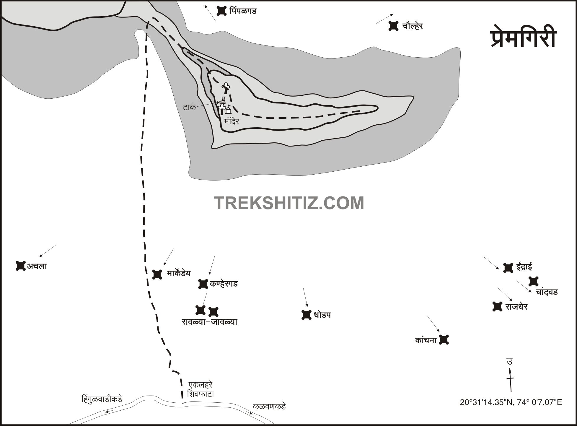
One such little-known fort is Premgiri, located in Kalwan Taluka of Nashik district. Situated about 6 km from the taluka headquarters of Kalwan, this fort is approximately 77 km from Nashik city via the Vani route. As the fort is unfamiliar even in its surrounding region, it is advisable to gather proper route information before visiting.
...
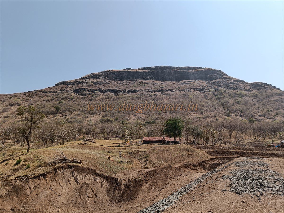
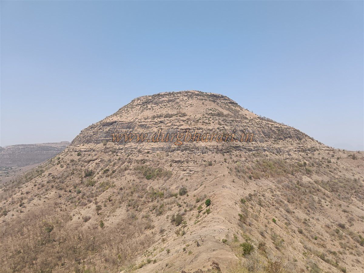
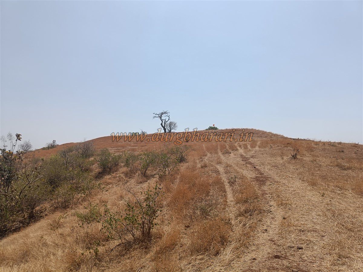
From Kalwan, on the way to Hingalwadi village, a diversion to the left leads to Eklahare village at around 2 km. beyond this village, a dirt road turns right toward the hills. Continuing on this track for 2 km leads one to Hingalwadi village, but to reach the fort, you need to come back and take the right-side hill trail. This hill is actually the Premgiri Fort. The road leads to a narrow ridge connecting the fort and the adjacent hill. (This route is accurately marked on Google Maps under the name Premgiri Fort.)
At the base of the ridge, the forest department has planted trees. There is a farmhouse and a cattle shed here. As there is no drinking water available on the fort, it is recommended to fill your bottles from here. From behind this house, a steep but well-trodden path leads to the connecting ridge between the fort and the adjacent hill, which takes about 15 minutes to reach.
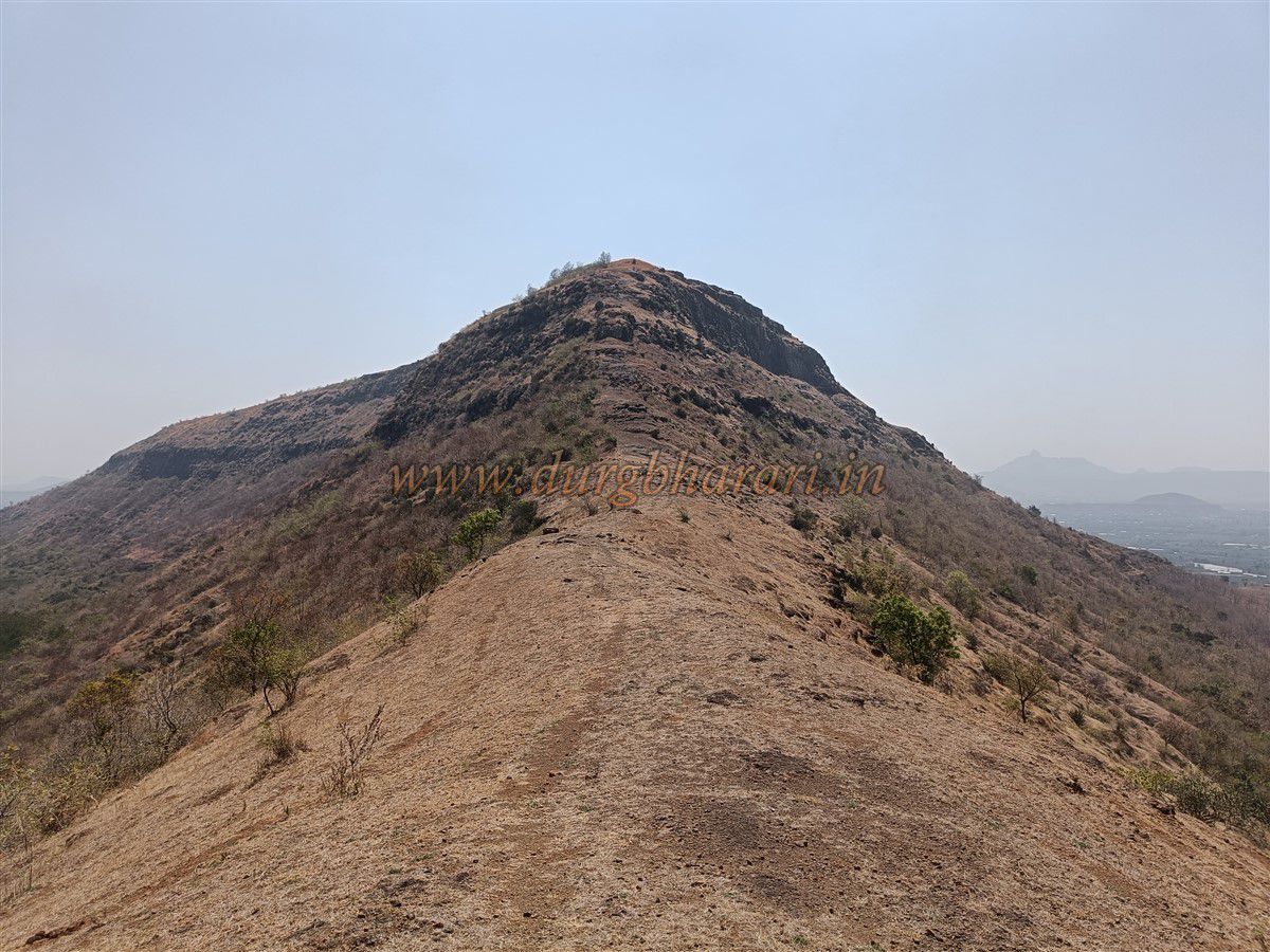
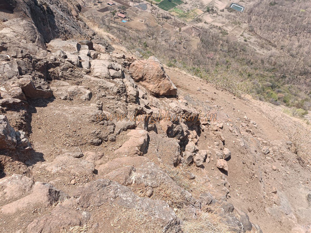
Though the fort is relatively unknown, the presence of a Hanuman temple on top ensures regular visits by locals from nearby villages, which helps in maintaining the trail. Upon reaching the ridge, you must turn right to begin the actual climb toward the fort. Certain stretches of the path have loose gravel and can be slippery, requiring careful footing.
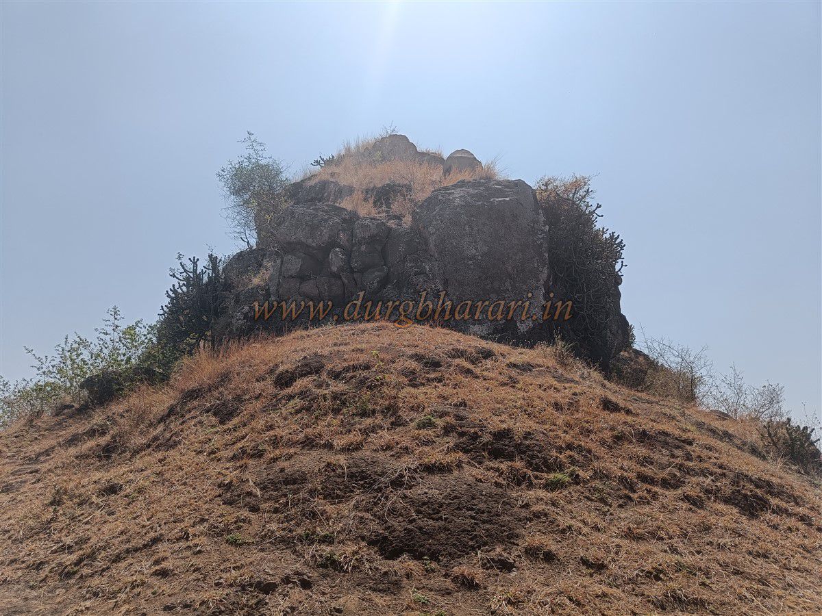
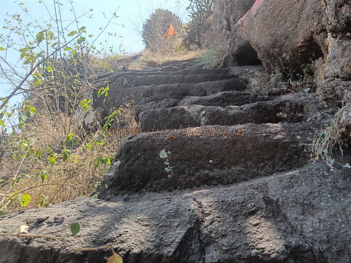
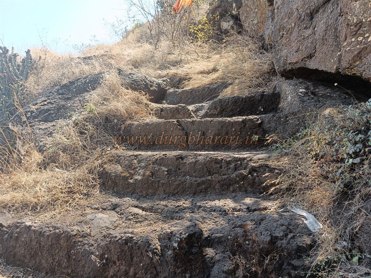
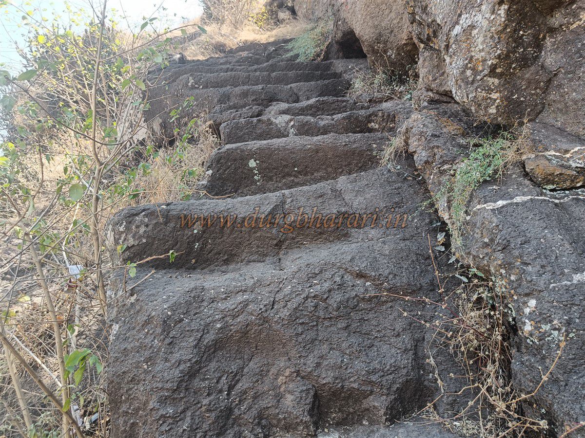
As you ascend, you will encounter 10–12 rock-cut steps. Beyond these steps, the final section of the path includes a 20-foot high but relatively easy rock patch. Climbing this brings you to the fort plateau. Along the way, you won’t find any fortifications, bastions, or gateways—there are no visible remnants of typical fort architecture.
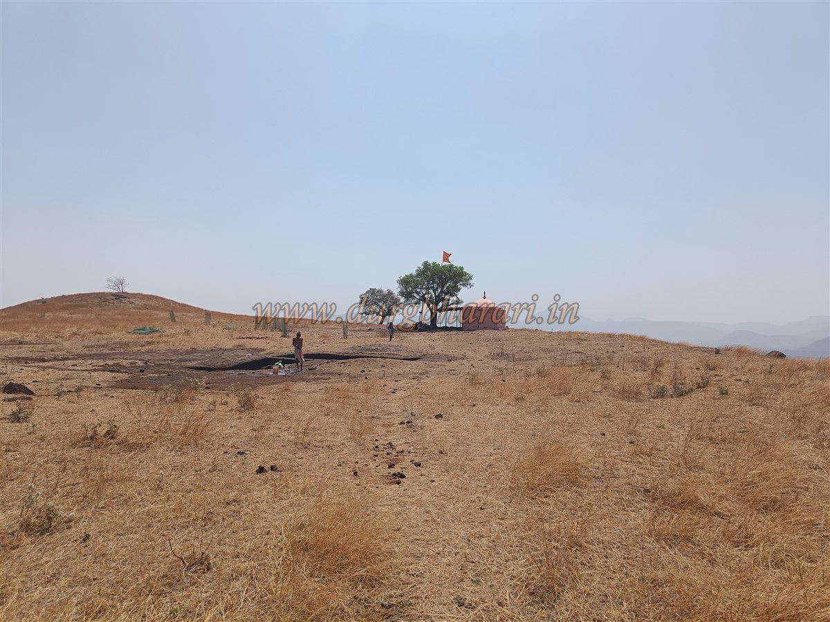
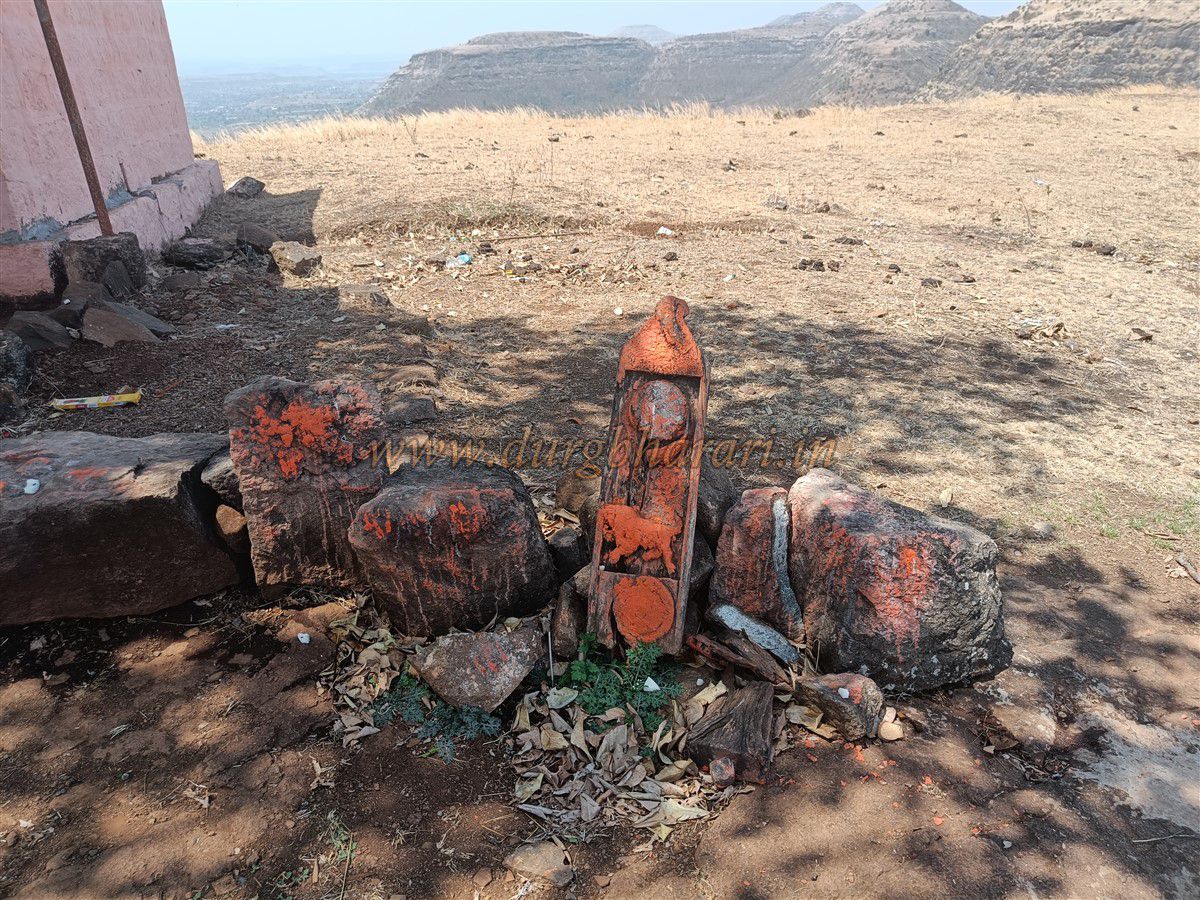
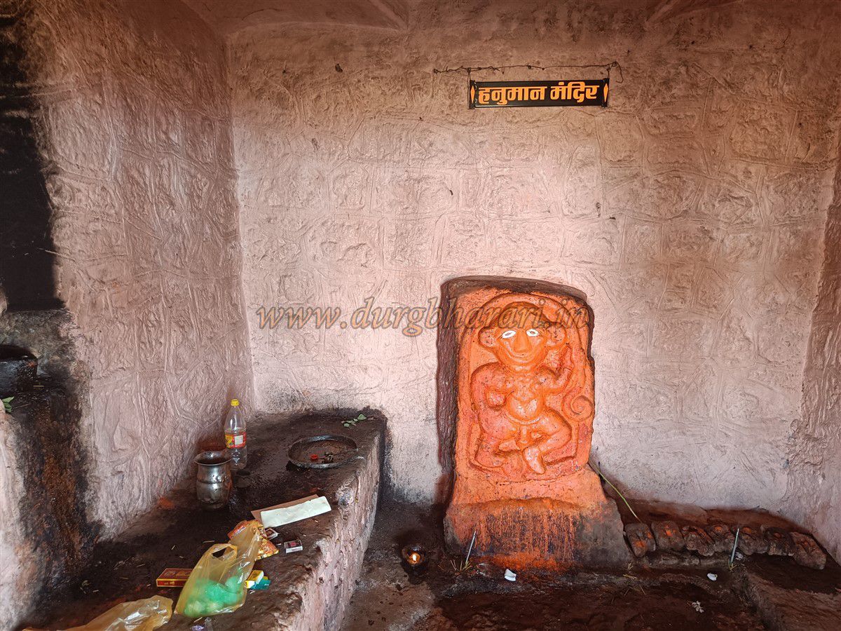
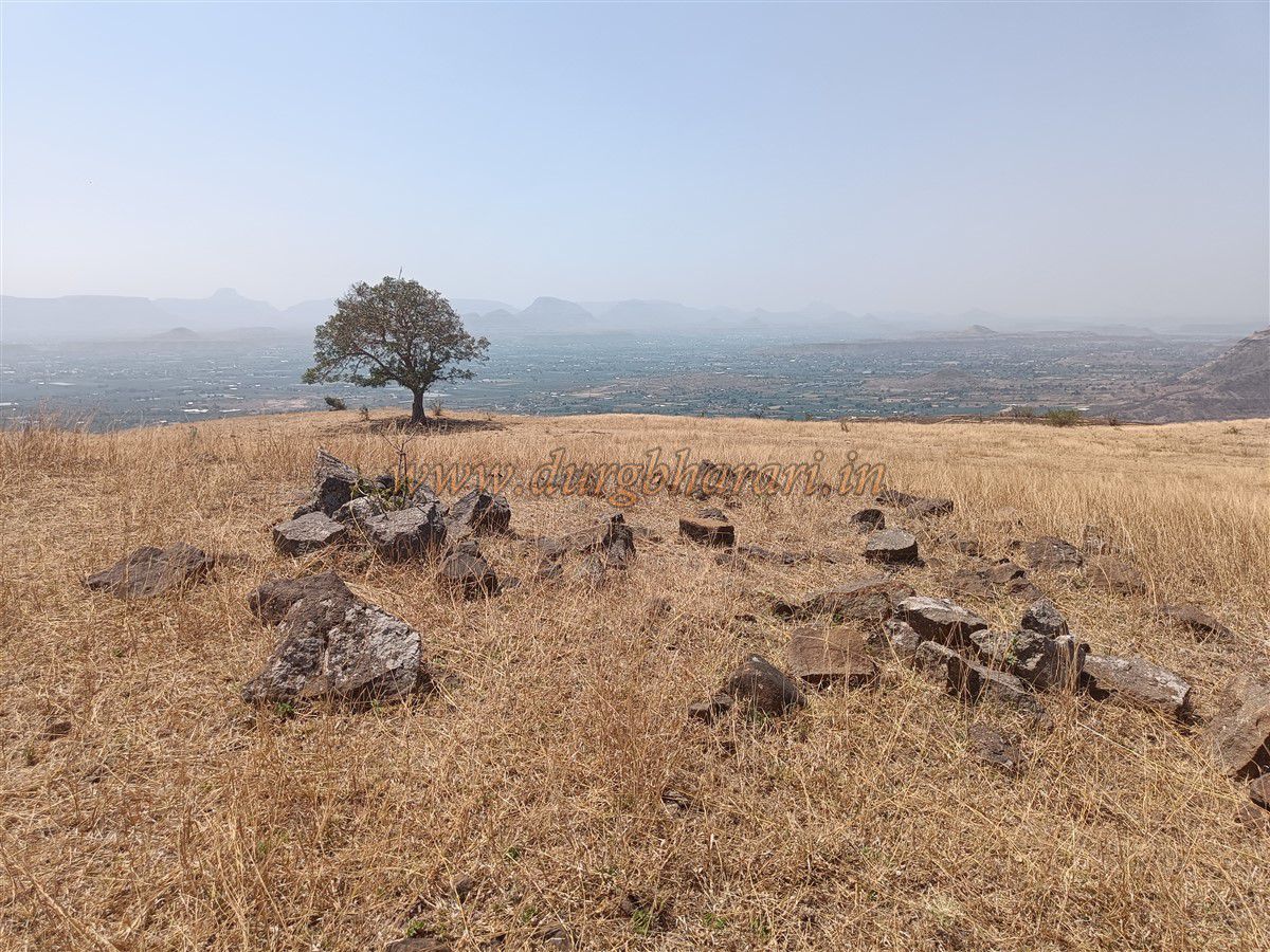
Once atop the fort, you will find two rectangular water tanks carved into the rock, locally known as Ramkund and Sitakund. One of these tanks contains water, but since locals use it for bathing, the water is not potable. A short distance from the tanks, under a tree, lies a small stone-built temple housing a Hanuman idol. Outside the temple, on a wooden beam, carvings of a tiger, crescent moon, and lion can be seen.
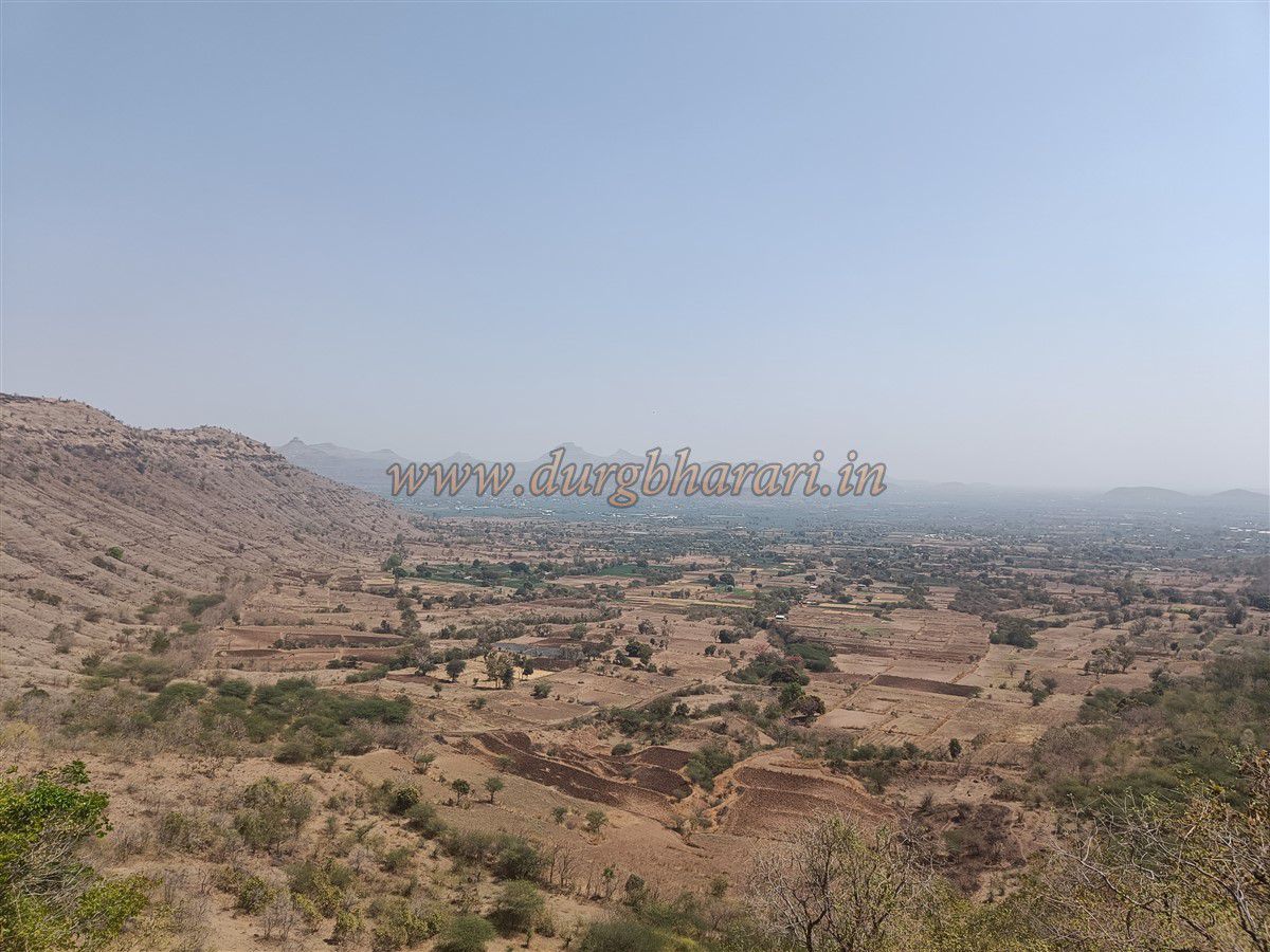
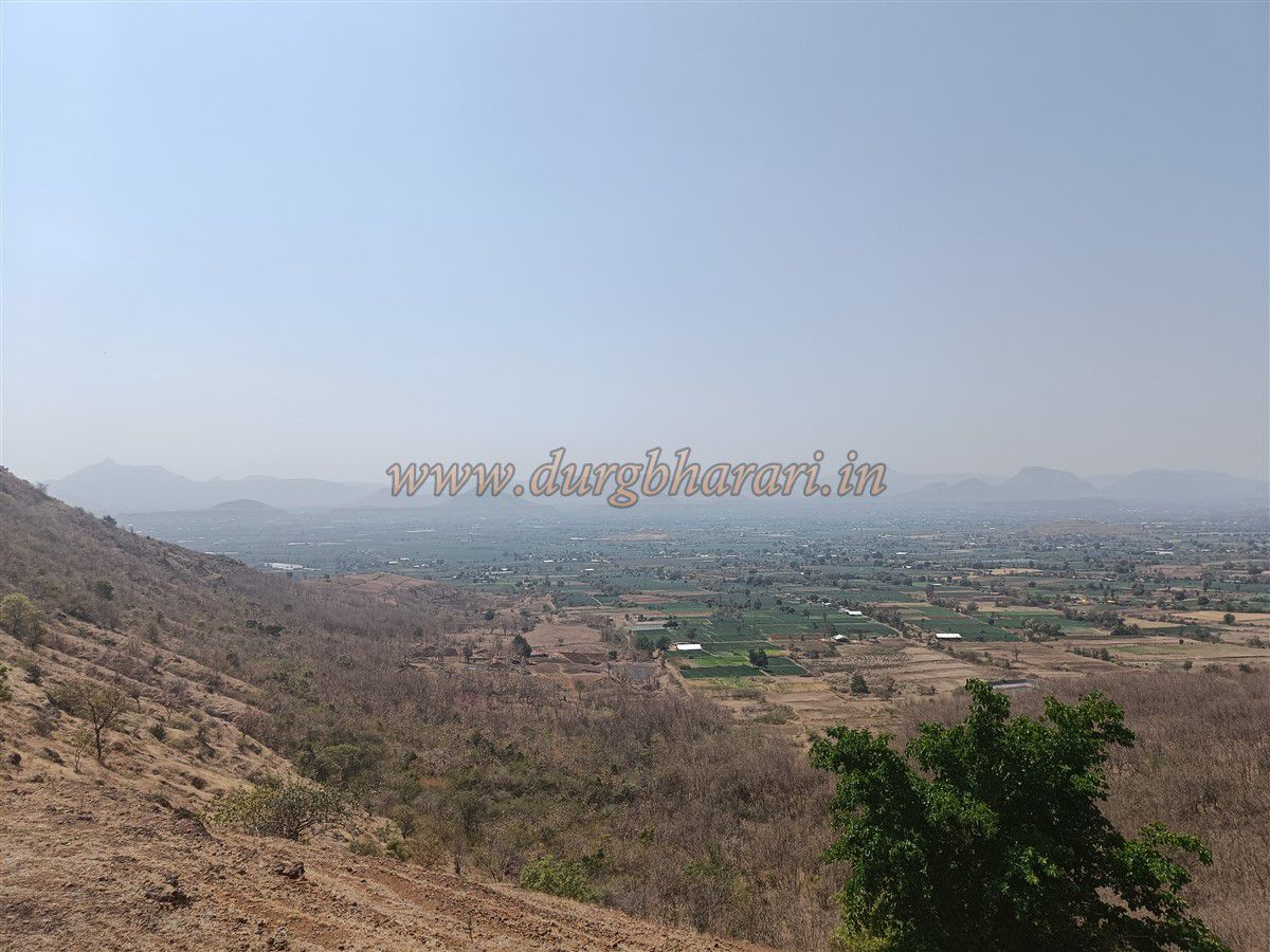
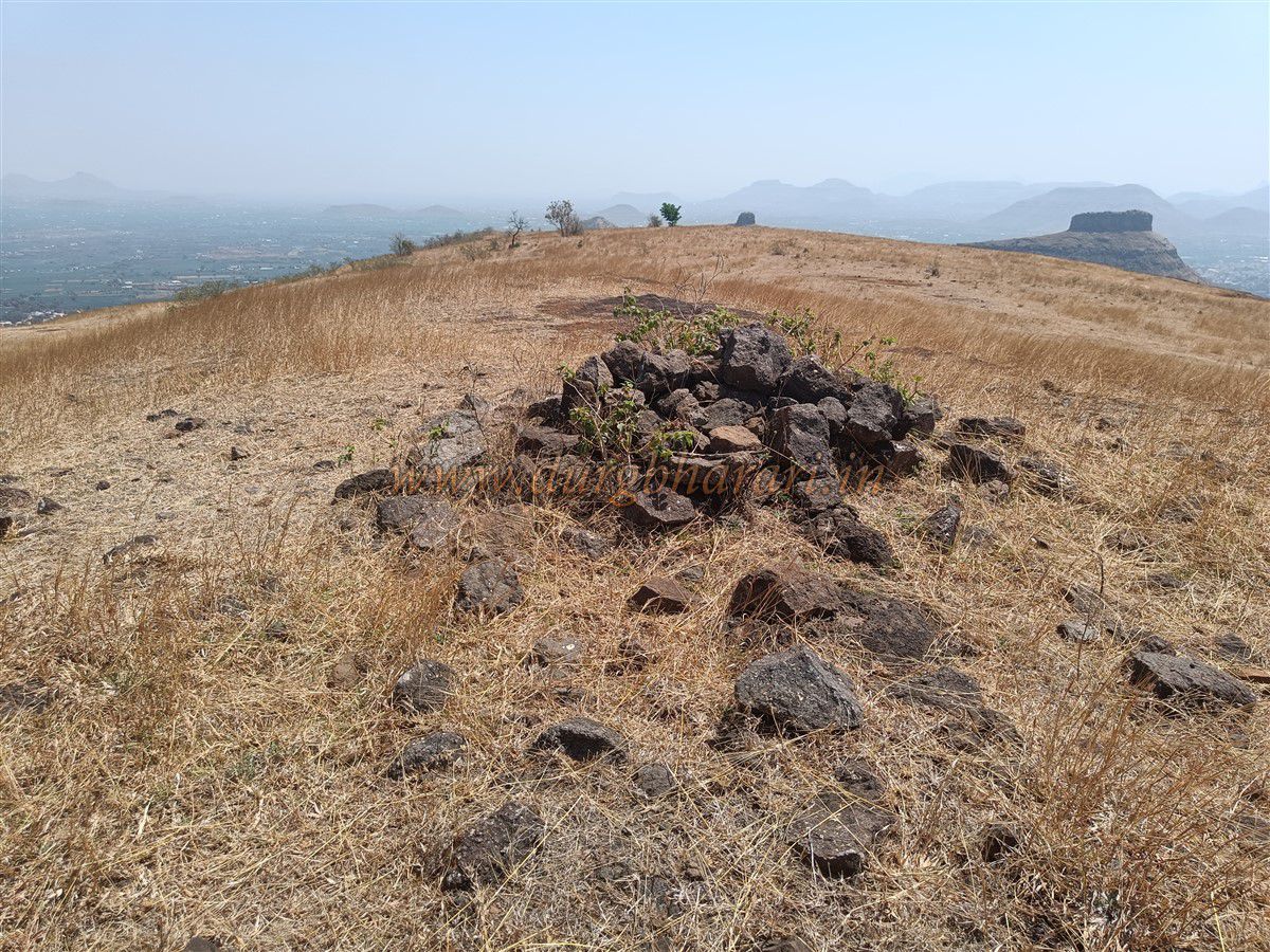
Further ahead lies a raised mound, on which lie remnants of an old structure. Apart from these features, there are no other ruins on the fort. Standing at 2,890 feet above sea level, the fort has a narrow north-south elongated plateau that spans around 30 acres. It takes about half an hour to explore the top, and a round trip including descent takes approximately three hours.
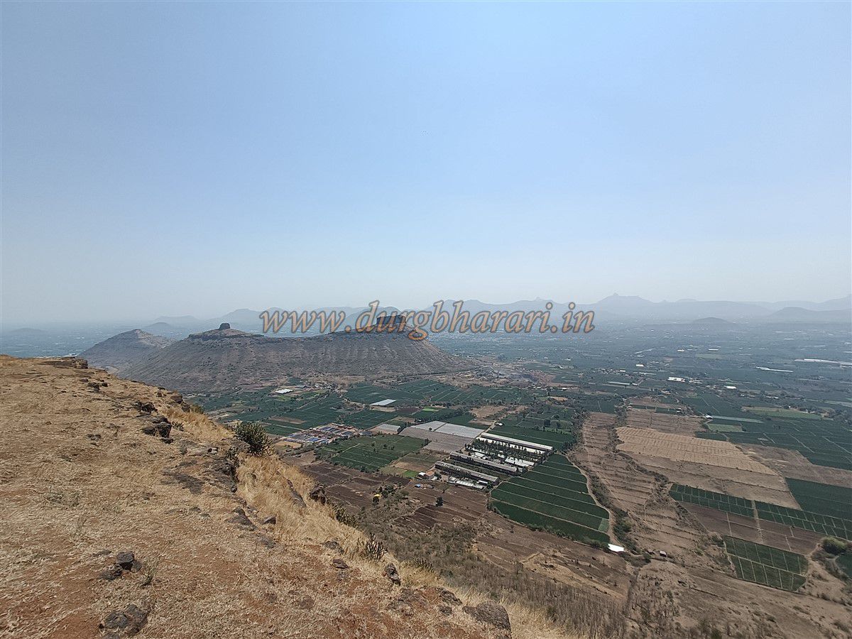
Due to the absence of drinking water and shelter, overnight stays on the fort are not feasible. It is believed that smaller forts like Pimpala and Premgiri were built as watch-posts along the routes leading to major forts such as Salher, Salota, and Mulher in the Selbari–Dolbari ranges.
© Suresh Nimbalkar
GALLERY