PRATAPGAD -GONDIYA
TYPE : HILL FORT
DISTRICT : GONDIYA
HEIGHT : 1770 FEET
GRADE : MEDIUM
When we think of Pratapgad, what usually comes to mind is the famous fort near Mahabaleshwar. However, apart from that Pratapgad, another fort by the same name remains hidden in the dense forests of Vidarbha, still unfamiliar to most people. Located in the Gondia district, this fort can best be described as a vast and beautiful hill fort. Given the dense forests on and around the fort, it could also be classified as a forest fort (Vandurg). This is a must-visit fort for anyone traveling through Gondia district.
Situated in the Arjuni Morgaon taluka of Gondia, this fort is about 68 km from Gondia city and 90 km from Bhandara via Navegaon. The village at the base of the fort is also known as Pratapgad. The distance from Arjuni Morgaon to Pratapgad village is approximately 12 km. Since this forested area is known for bear activity, it is important to take proper precautions when planning a visit. Vidarbha is sparsely populated, and so while exploring forts in the region, it's best to use private transport for convenience and safety—otherwise, visiting even one fort in a day can be difficult.
...
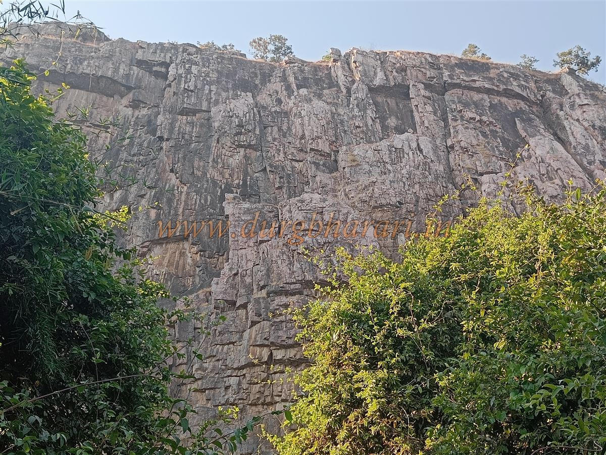
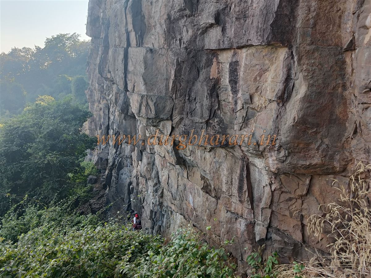
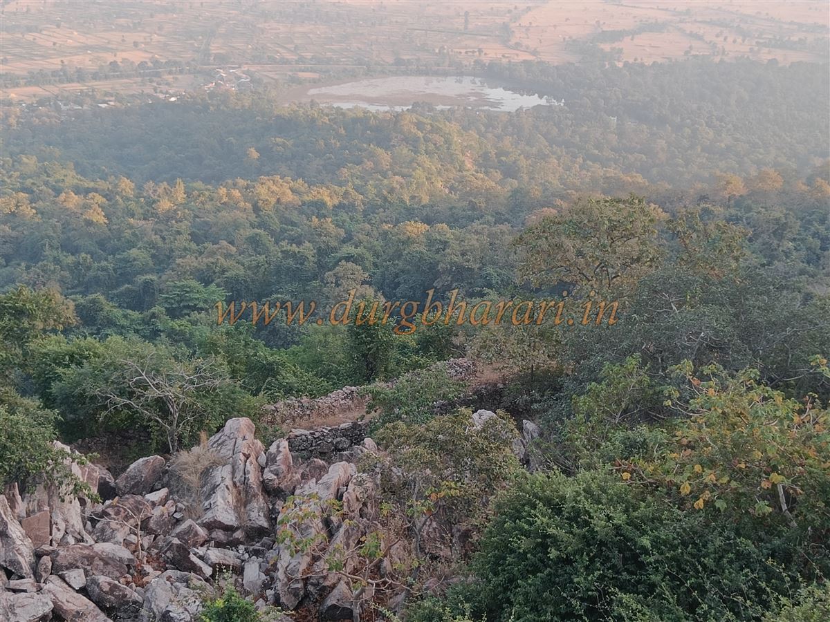
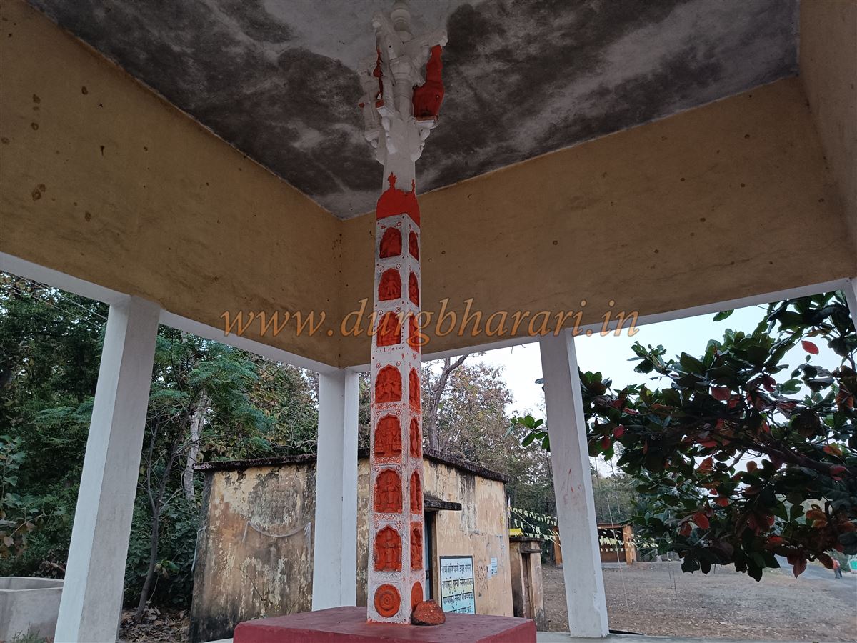
The fort lies on a mountain range extending southward from the Navegaon sanctuary. The triangular-shaped summit of the fort spreads across around 45 acres, while the entire fort complex covers over 55 acres. There is a dargah (shrine) in the forest above Pratapgad village, and the trail leading to the fort begins near it. At the curve in the road leading from the village to the dargah, one can see a 15-foot-tall Garud Stambh (Garuda Pillar). On each of its four sides are carvings of 28 deities, with lotus motifs at the base and elephant heads above. A concrete shelter has now been constructed to protect this pillar. The road allows private vehicles to reach the dargah directly.
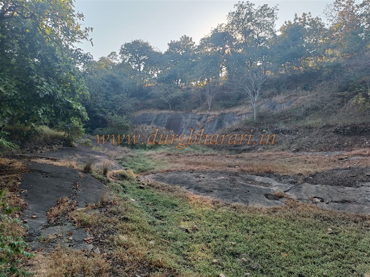
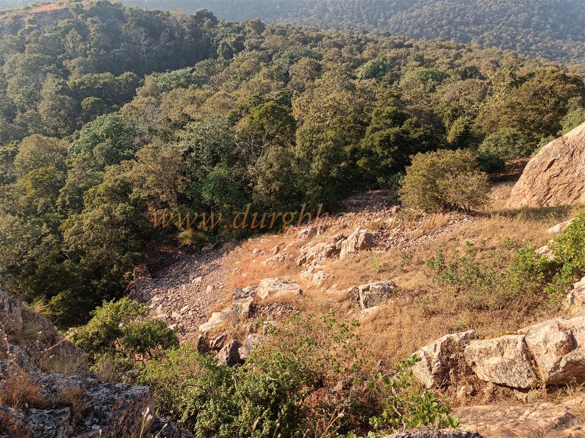
Since there is no water source on the fort, one must carry enough drinking water before starting the climb. Although the trail is visible, the ruins of the fort are scattered throughout the forest, so it is essential to take a local guide for a proper exploration. The fort is divided into three parts—outer fortifications (Ghera), Machi (lower plateau), and the Balekilla (citadel). There are routes to the fort from the west, south, and north, but currently only the northern route is usable; the others have been lost to time.
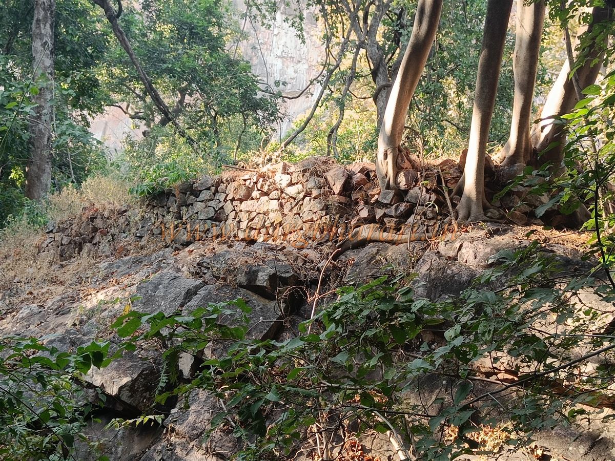
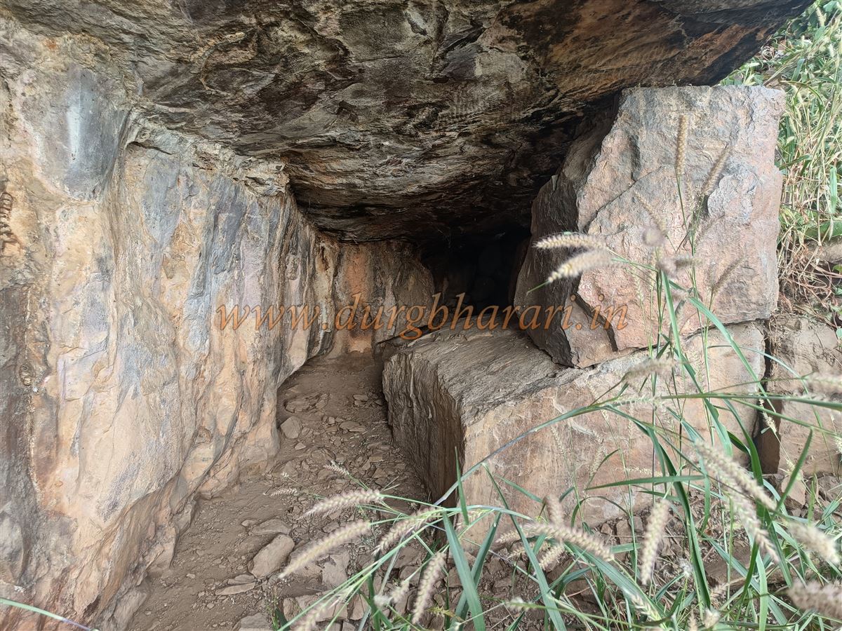
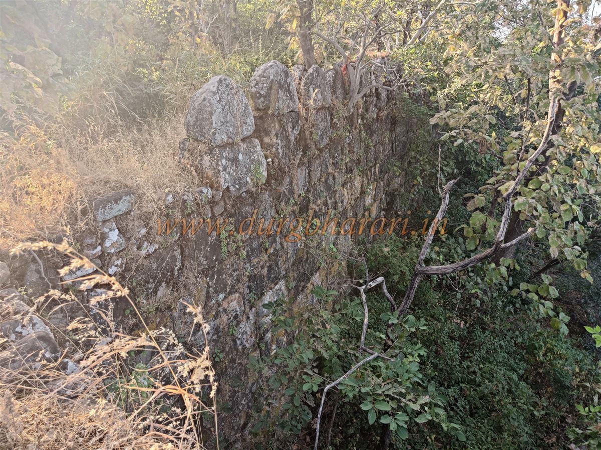
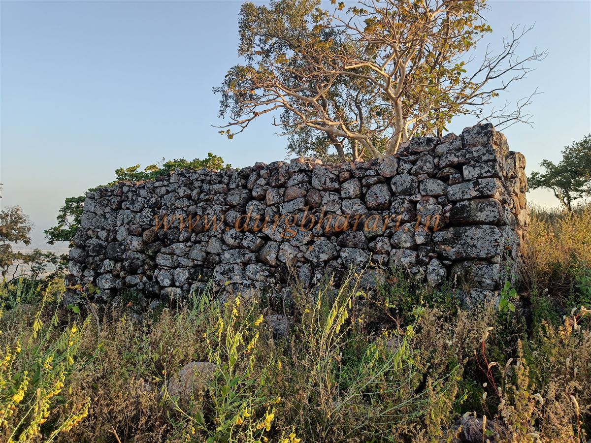
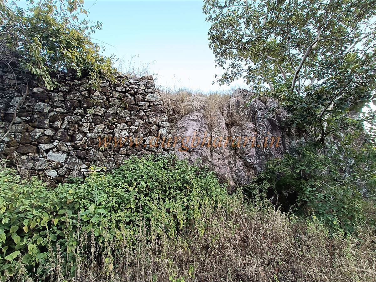
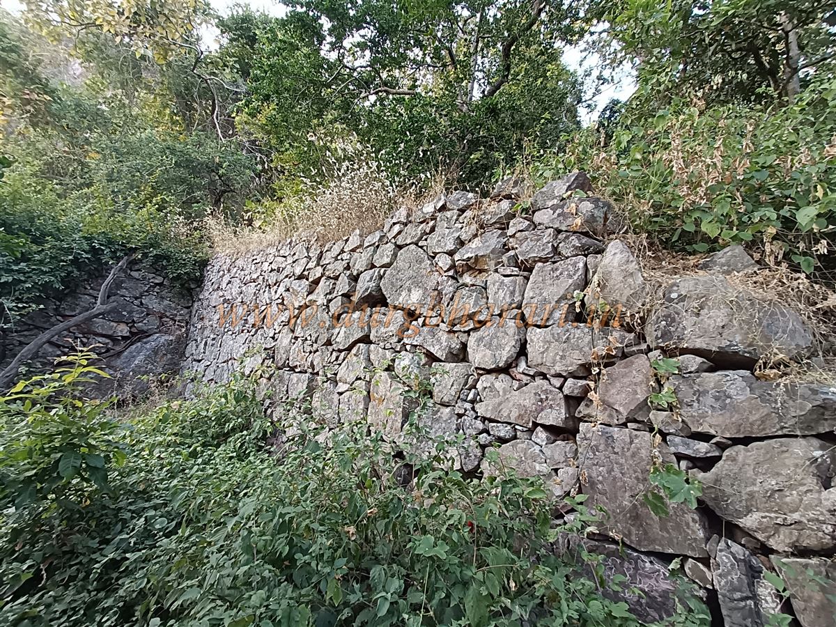
Starting the ascent from the dargah, on the left side, one can see a stone wall descending from the upper slopes to the dargah below. This 10–12 feet high and 5–6 feet wide wall, made of large stones, appears along all three sides of the hill, though parts of it have collapsed. After about half an hour of climbing from the dargah, one reaches the base of the hill, and on the left, one can see parts of the fort wall. Near it are the remains of an old structure. As the trail turns right to ascend, there's another path climbing alongside the rock face, which leads not to the fort but to a deep cave inside the hill. However, due to the presence of wild animals like bears, it’s best to avoid entering the cave.
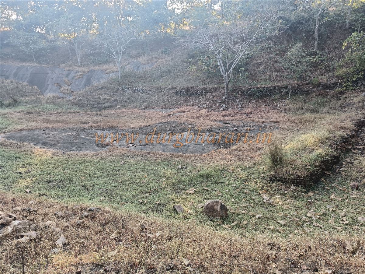
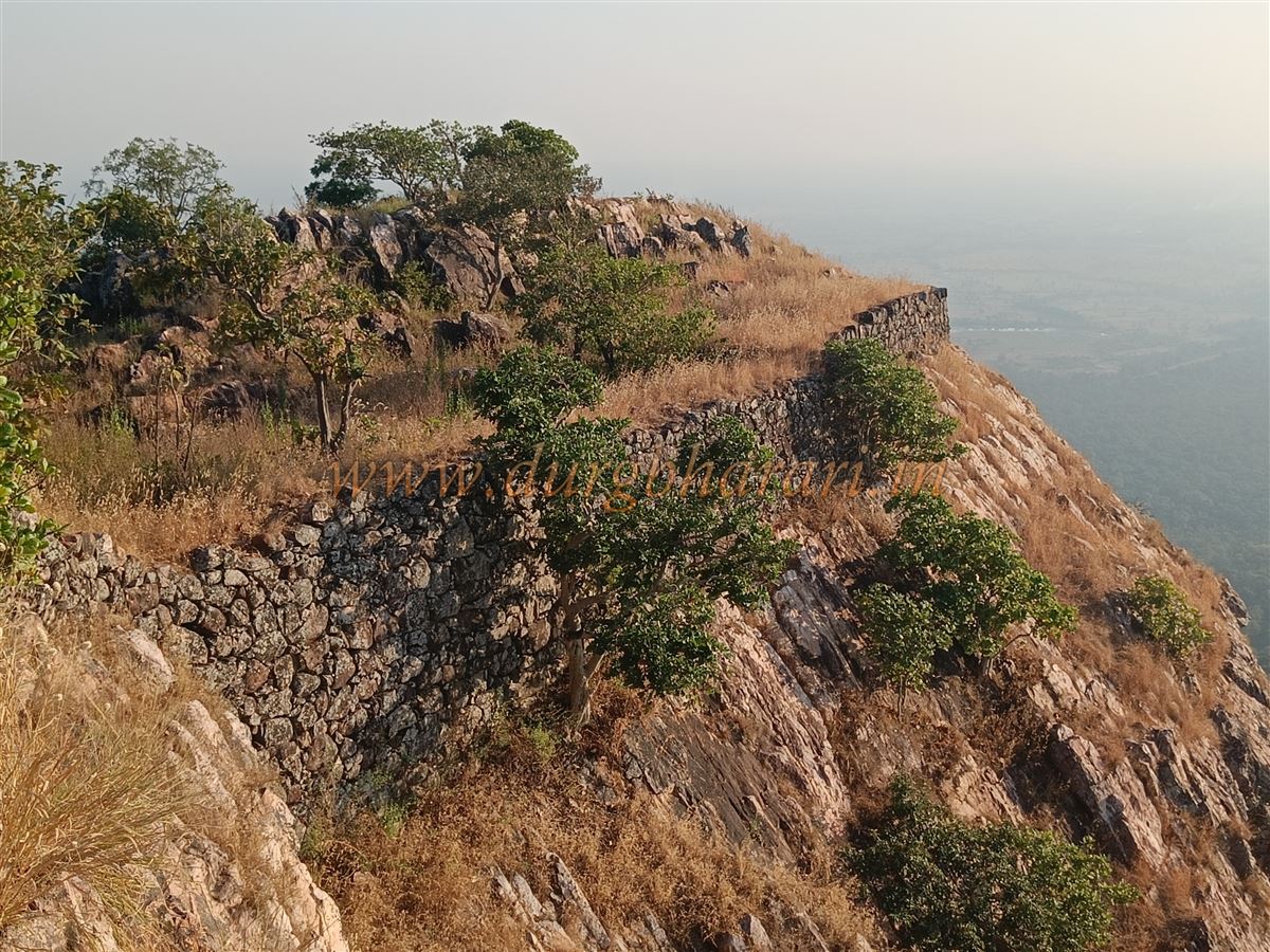
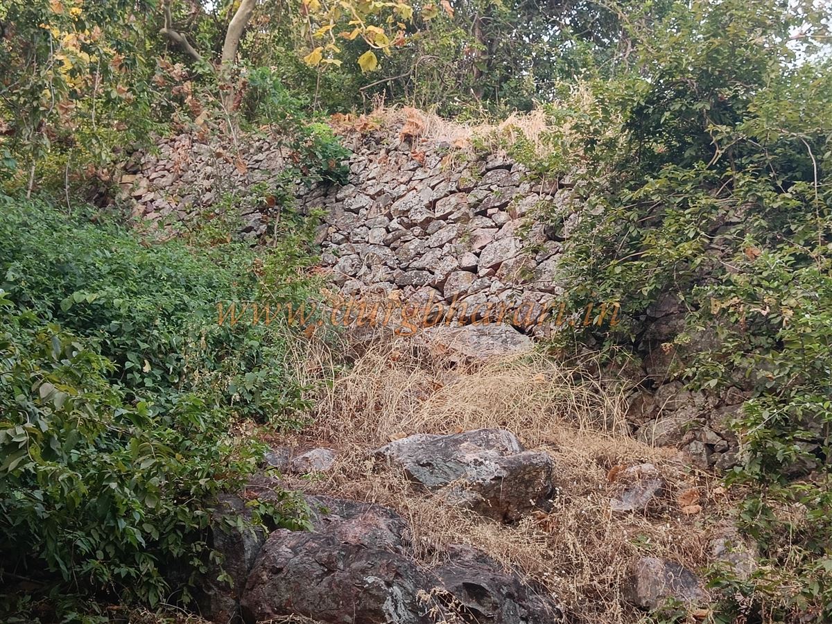
Continuing along the main trail for about 15 minutes, one enters the fort through a section of fort wall that, though 20–22 feet tall, does not have provisions for defence like arrow slits or guard towers. The winding path through the wall leads to a point on the mountain ridge known as the Machi. Here stands a stone bastion, on which a newly built grave is marked with flags. From atop this bastion, one can see the fort wall descending on both sides. The entire area is fortified and leads to a rear section of the fort covered in dense forest, which the guide usually avoids due to bears. It’s believed there’s a water tank and some ruined houses in that forested Machi.
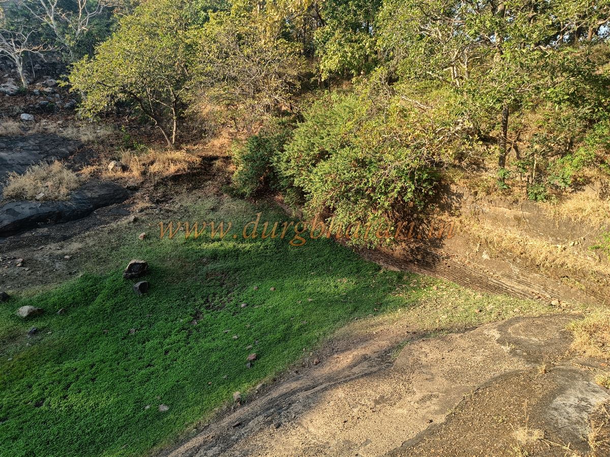
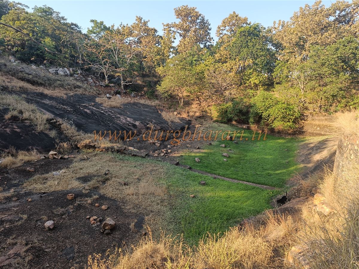
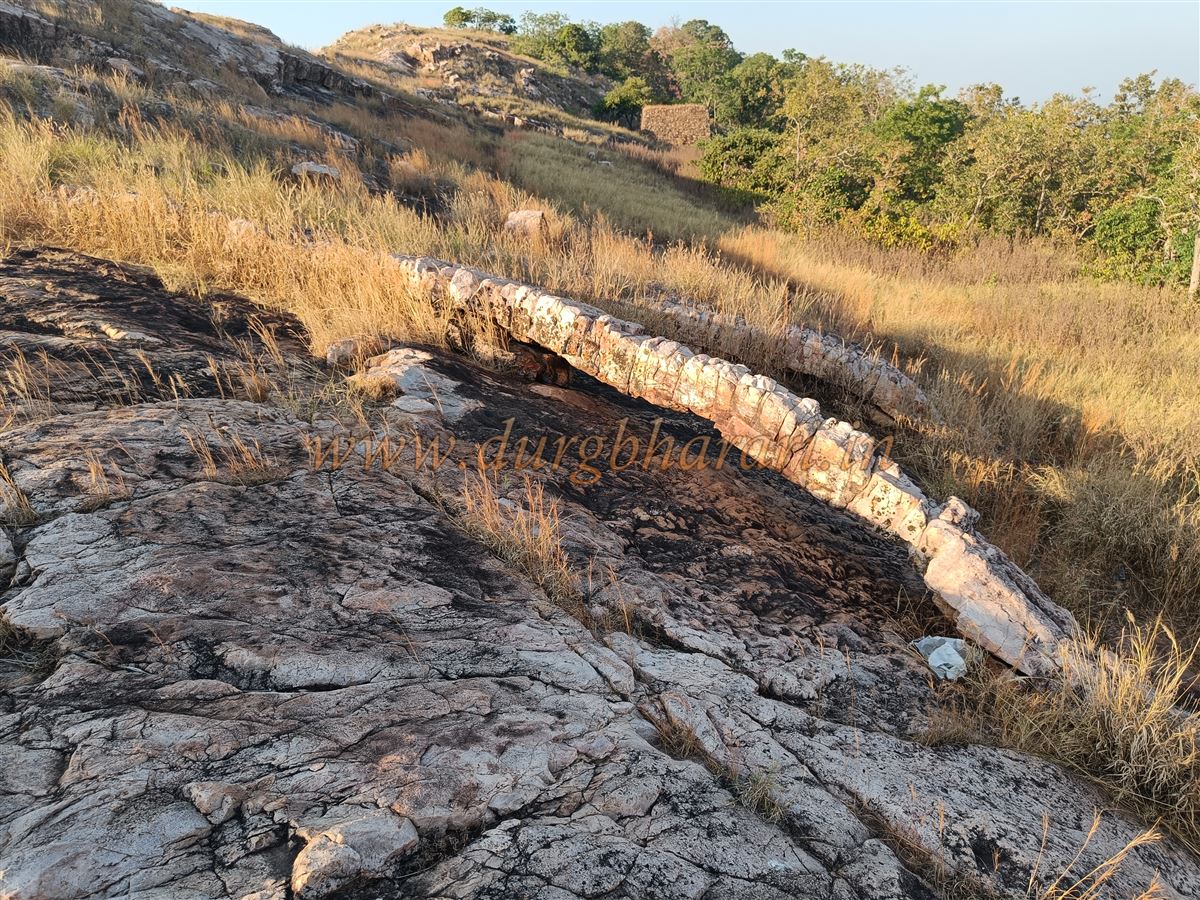
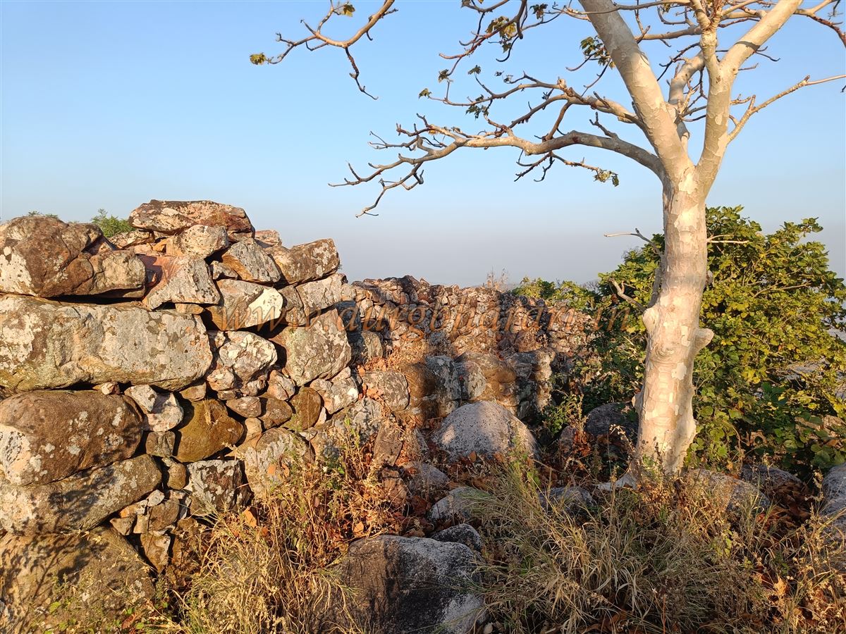
To the left of the bastion is a stairway leading to the upper part of the fort. It brings you through a ruined gateway built between two bastions and leads to the upper plateau. From the right-hand bastion, one can see the solid stone fort wall and its crenulations. Moving straight ahead brings you to a small plateau, from where one can see the next ridge housing the citadel and some structural ruins. Between the plateau and this ridge is a large walled reservoir made using bricks, now dry, which was divided into three parts.
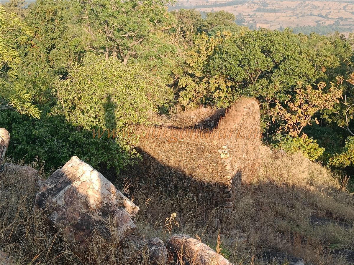
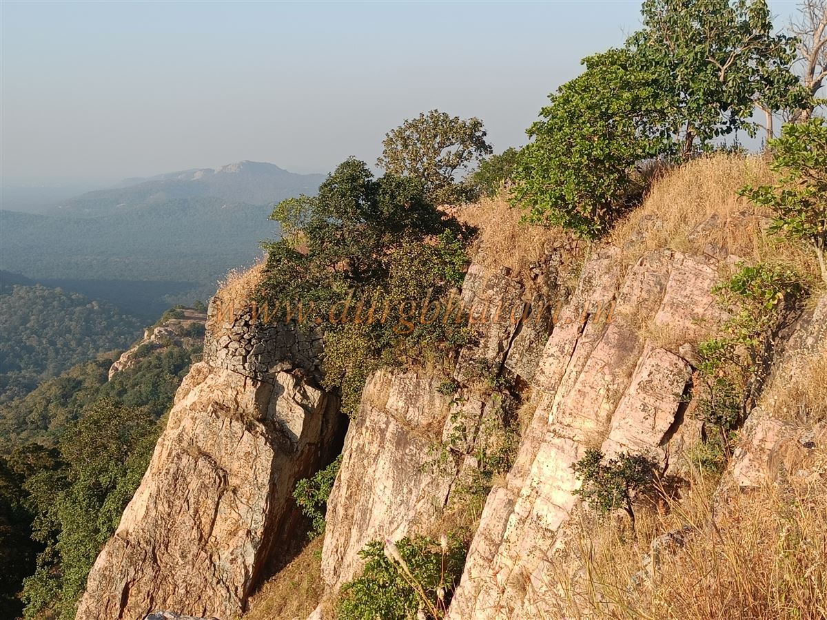
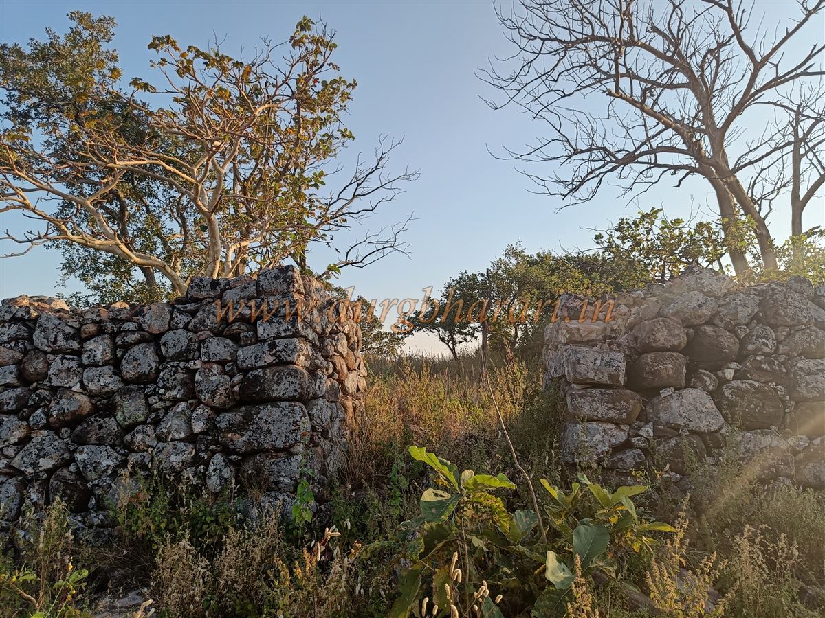
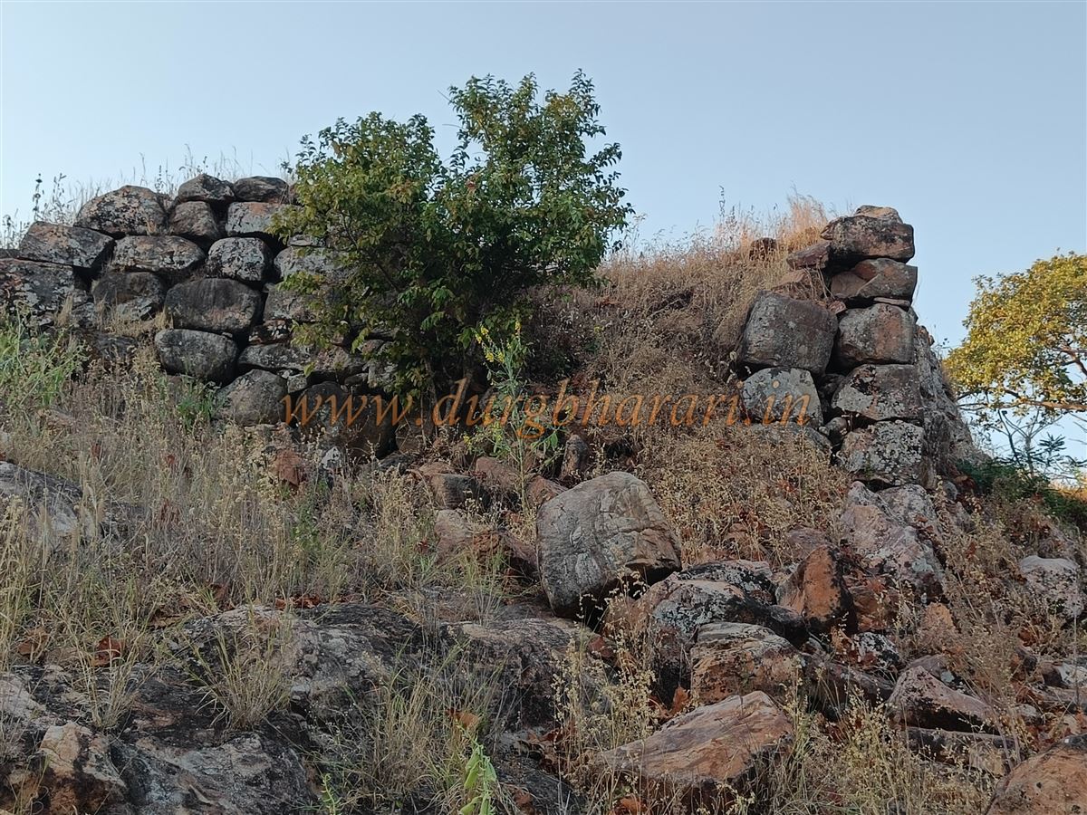
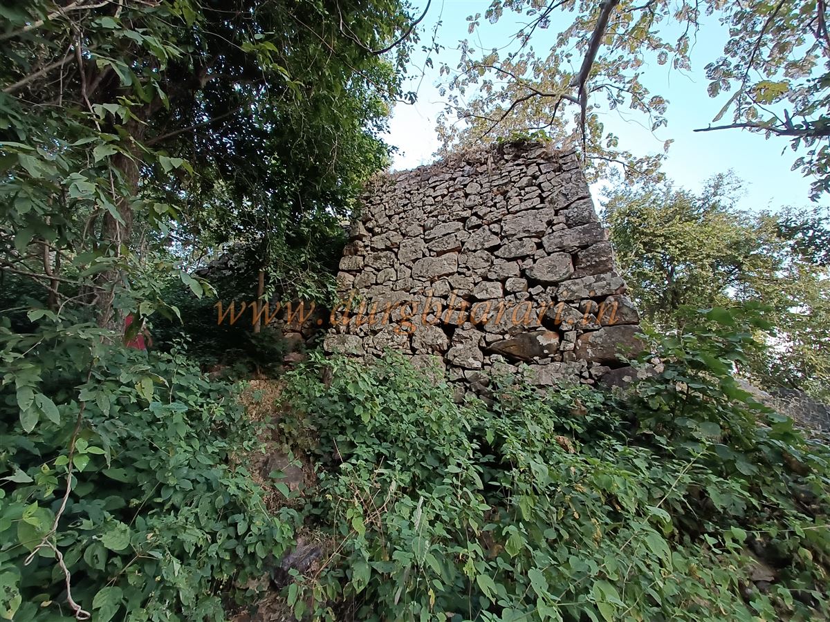
Following the wall along the edge of the hill leads to the second ridge. On this route, one first comes across the flag post and nearby a small natural cave known locally as "Pap-Punya cha Nedha"—a passage believed by locals to absolve sins if one can pass through it. Continuing onward, on a slope to the right are two roofless stone structures, and shortly afterward, the citadel is reached.
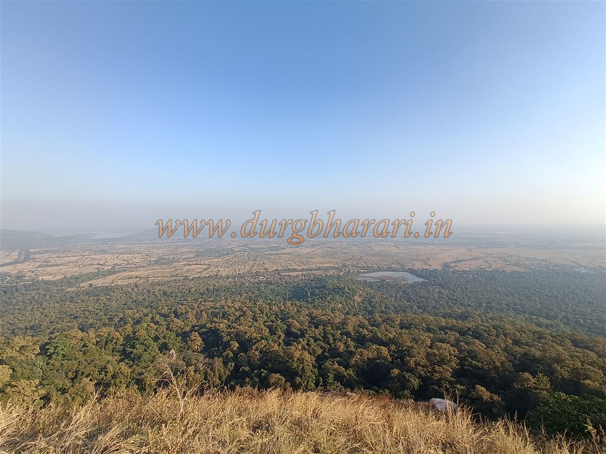
The citadel's lime-free fortifications are still intact, allowing one to walk all around it. The northern entrance has no arch, while a smaller doorway lies to the south. Inside the citadel are foundations of old structures now covered in vegetation. From here, one can enjoy views of the western portion of the fort and the surrounding dense jungle. Despite visible ruins and fortifications in this area, guides typically avoid leading visitors there due to bear presence.
At 1,770 feet above sea level, the citadel is the highest point on the fort. It takes about two and a half hours to climb from the dargah to this summit, and about four hours for a full round trip. The fort’s unique lime-free construction is one of its notable architectural features. Like many other forest forts in the Gondia–Gadchiroli region, very little documented information or historical reference is available about it.
Since the fort is not widely known, its history remains silent. But based on the architectural style and the Gond dynasty’s historical influence in this region, it is likely that the fort was built by the Gonds. Once under the Gond rulers, this fort today stands forgotten, having lost its identity and history.
© Suresh Nimbalkar
GALLERY