PINDVAL
TYPE : HILL FORT
DISTRICT : GUJRAT
HEIGHT : 1710 FEET
GRADE : EASY
While exploring the forts located in the Maharashtra-Gujarat border region, one can see a total of 16 forts of various sizes. These forts bear the marks of Maratha presence, and although they are now in Gujarat, since they were once part of Swaraj, I have included them under the category of forts of Maharashtra. Pindval Fort near Pindval village in Dharampur taluka of Valsad district is one such fort believed to have been built by the Marathas.
The nearest railway station is Valsad, from where Pindval Fort is about 50 km. Since there are no direct buses to the fort, one must travel 30 km to reach Dharampur, the taluka headquarters. From Dharampur, only two buses run daily to Pindval–Piprol, and they are not very convenient. At the Dharampur bus stand, inquire and get off at the junction leading to Pindval–Piprol, about 10 km away.
...
From there, due to very limited traffic, one may need to wave down any available vehicle or continue on foot. However, the path is entirely uphill and not easy. While there are paths to the fort from both Pindval and Piprol villages, they are not very accessible and require a considerable trek. Furthermore, since almost no one in the area knows about the fort, locals often mistake Wilson Hill for the fort and direct travellers there, even though Wilson Hill has no connection with the fort.
On a hill opposite the fort, a few ruins exist which locals refer to as "Madi." On further inquiry, some point to that location as the fort, but it is actually a way station on the hill route, possibly a guard post, with no real structures. Today, the exact location of Pindval Fort is marked on Google Maps, and one can confidently reach it following that. Locally, the fort is known as “Kotha,” but very few are aware of it. When asking for directions, it is best to use the word “Kotha.” Between Pindval and Piprol villages, there is a GETCO (Gujarat Energy Transmission Corporation) power tower and office. A rough dirt road branches off to the right from here, leading to the fort, which lies about 2 km away. This stretch must be covered on foot. Walking along this route for about 20 minutes, one will notice a footpath branching off to the left about 50–60 feet before the junction. Walking 10 minutes down this path, you reach a broken fort wall, which takes you directly to the fort's summit. This path, used by tractors for farming, is well-worn and leaves little chance of getting lost.
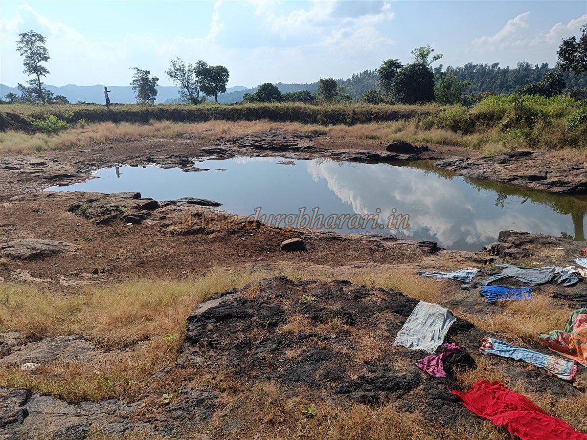
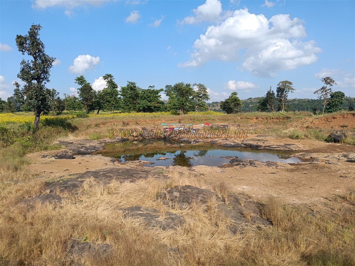
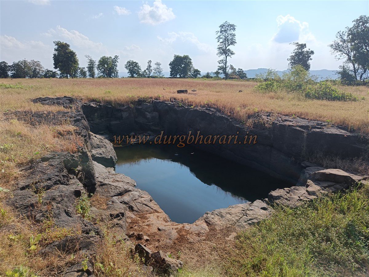
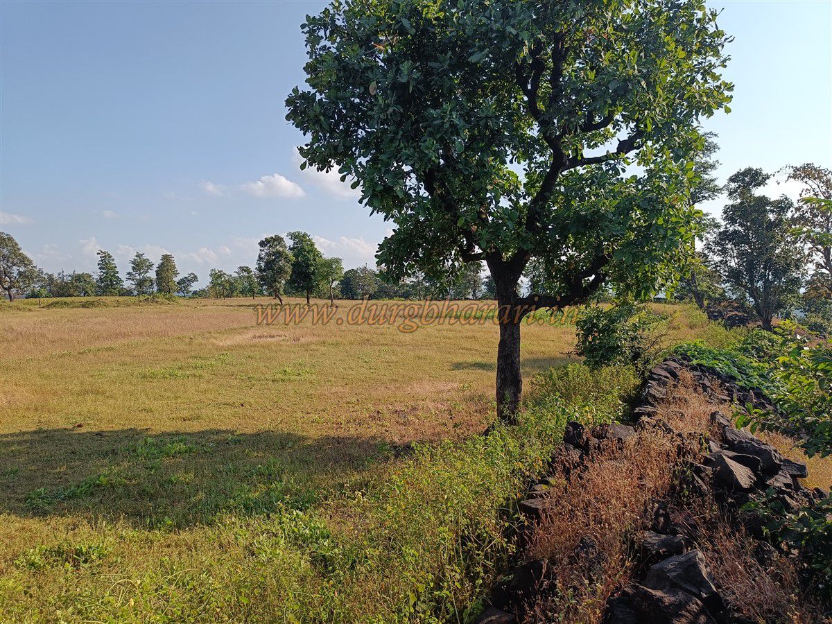
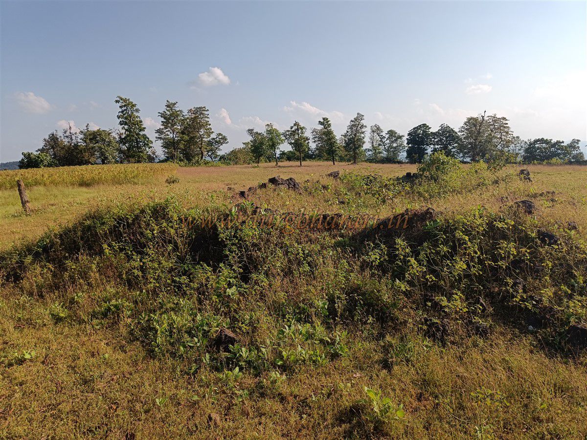
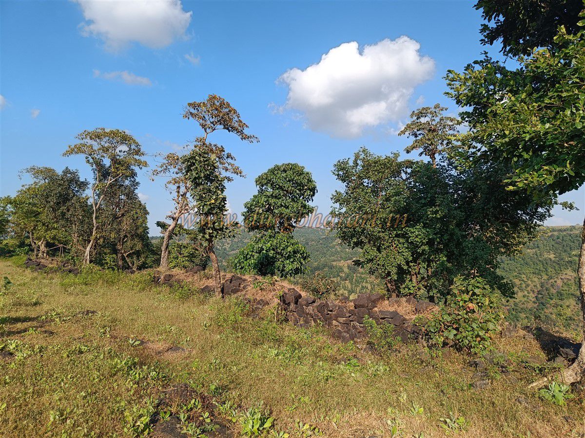
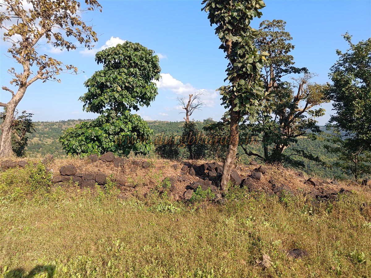
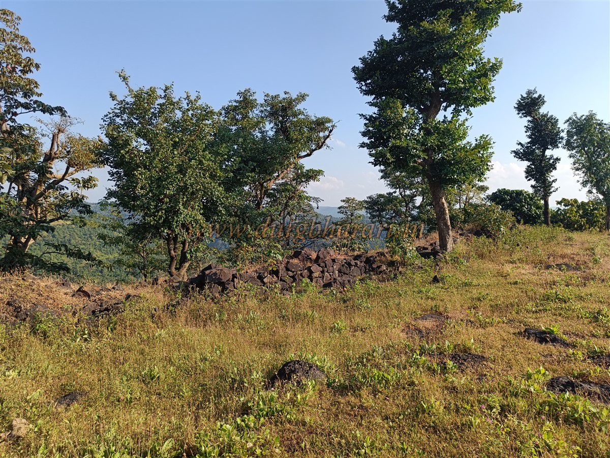
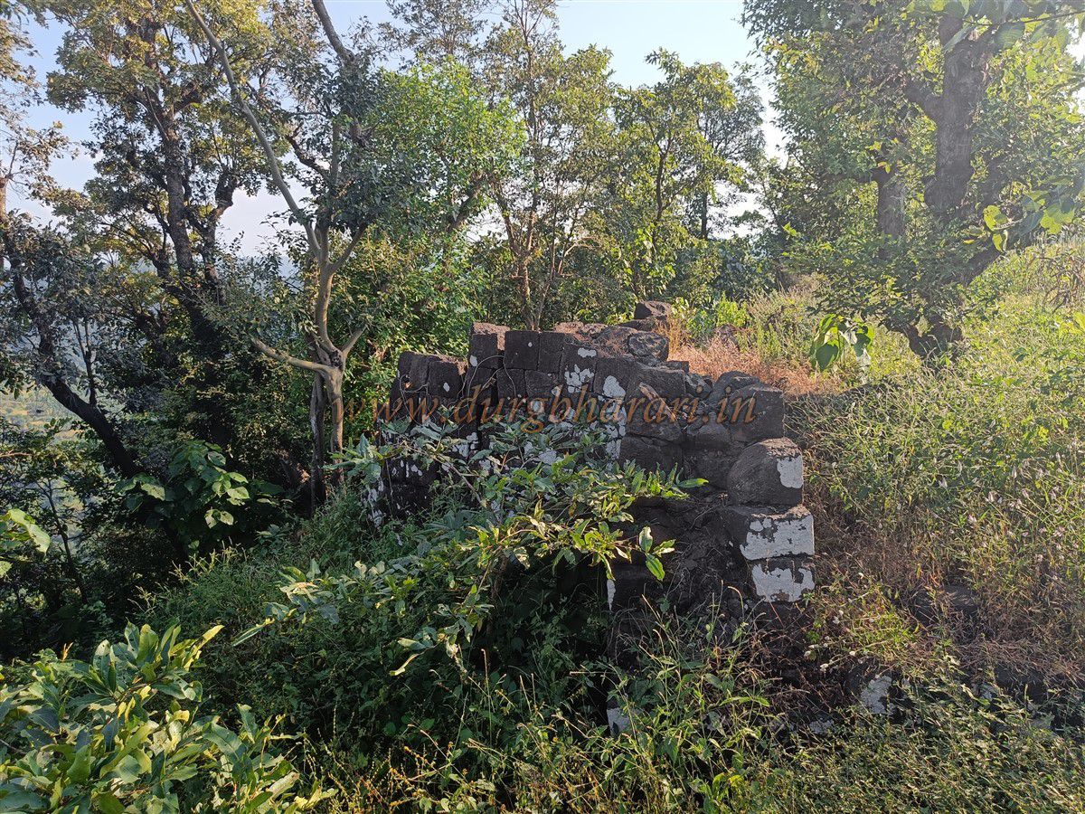
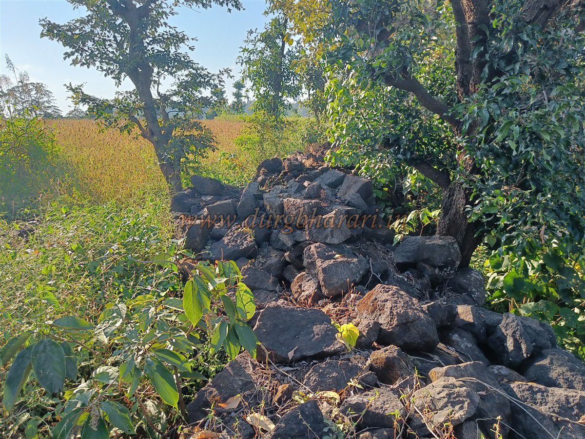
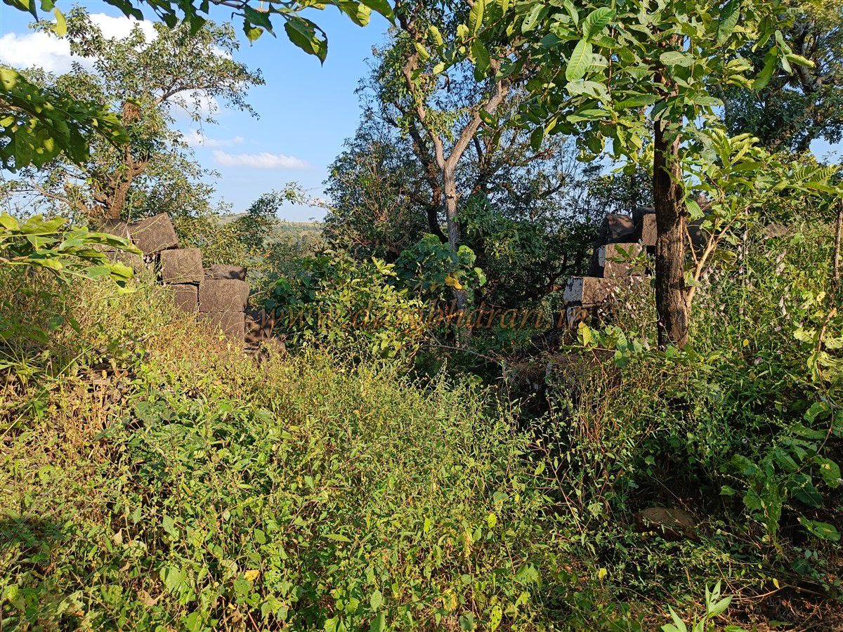
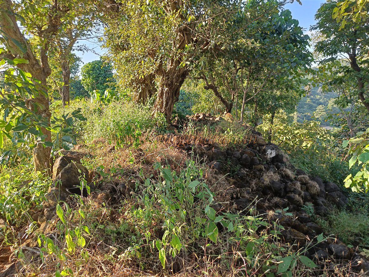
The fort’s summit is rectangular, spread across about 11 acres, and lies at an elevation of 1710 feet above sea level. The plateau stretches north to south. As most of the interior land is used for farming, many original remains have disappeared. After entering the fort, a stone platform of a ruined structure lies on the right side, built using cut stone blocks. Further along the path on the right side, there is a large rock-cut reservoir surrounded by a raised stone wall constructed to store excess water. Villagers now use this tank for washing clothes. To the left of this tank is a rectangular cistern with potable water available only until March or April. Opposite the tank are two more stone platforms, one of which still has part of a wall intact.
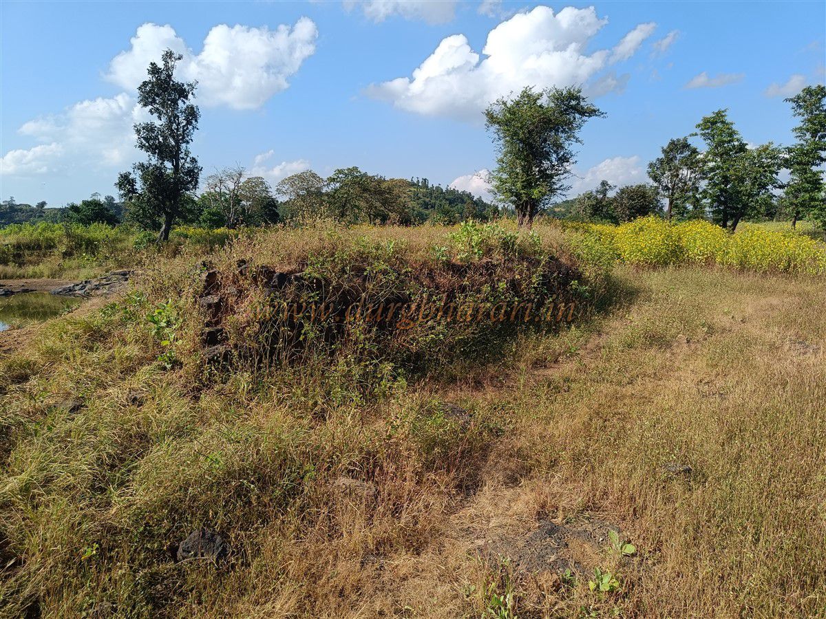
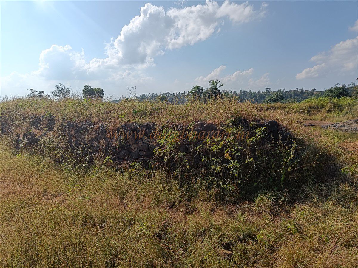
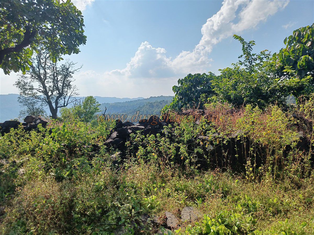
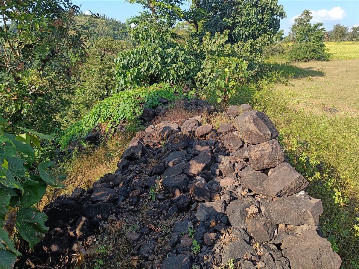
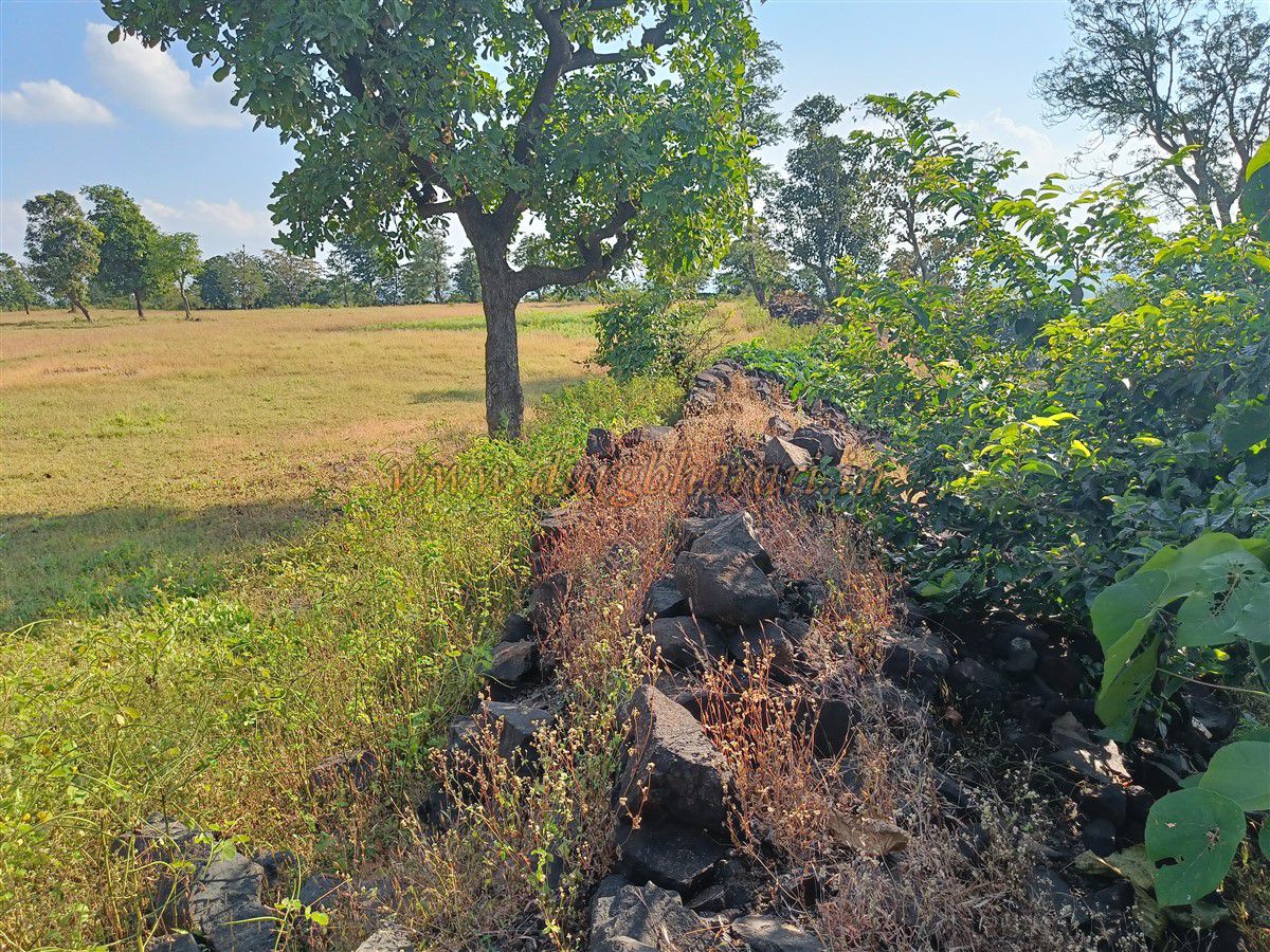
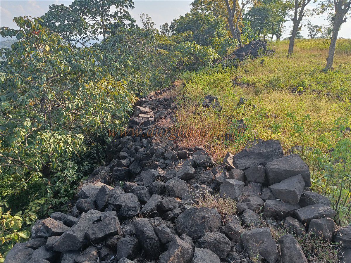
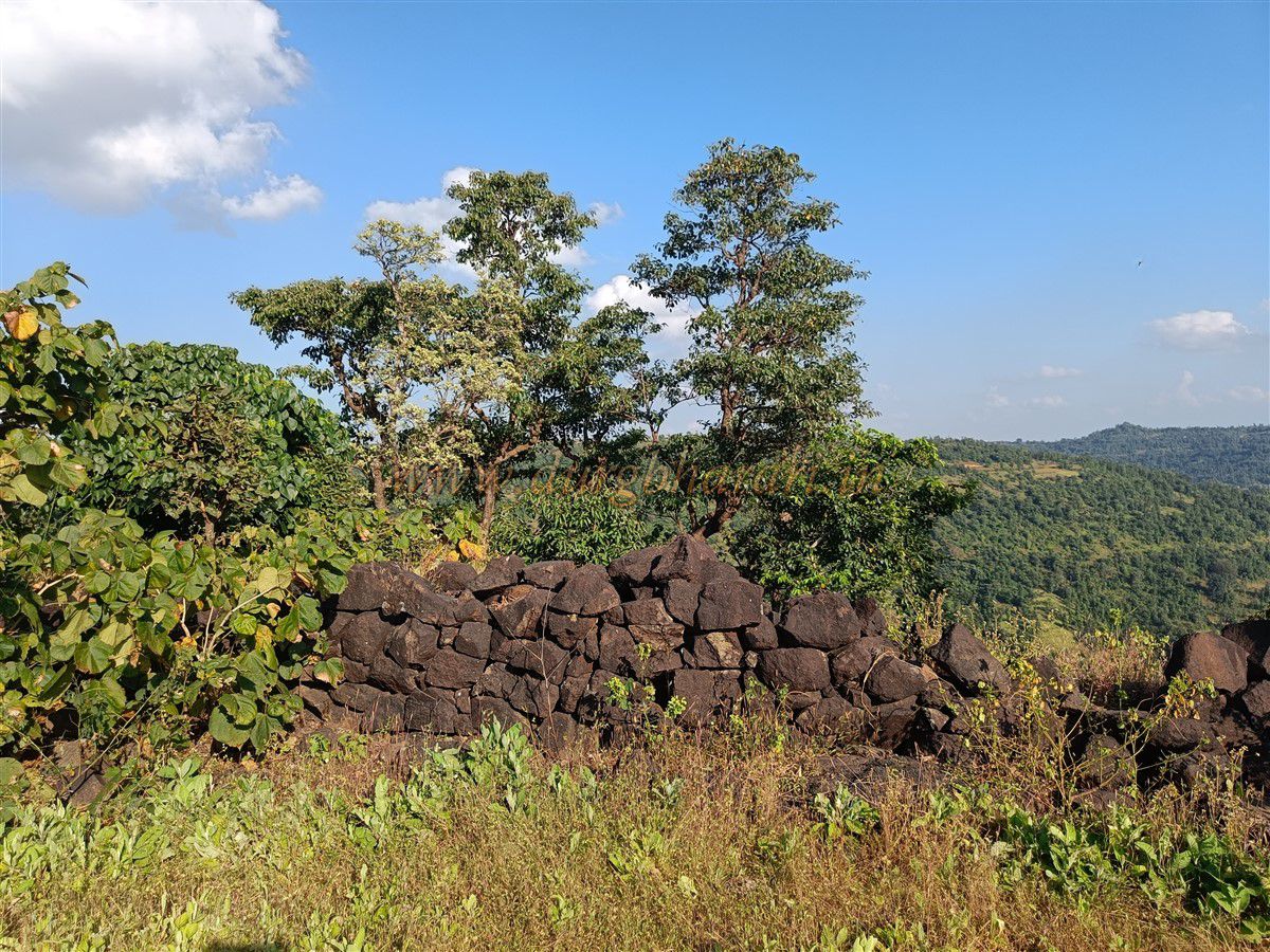
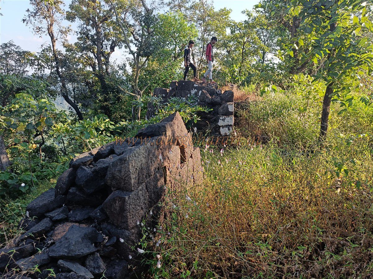
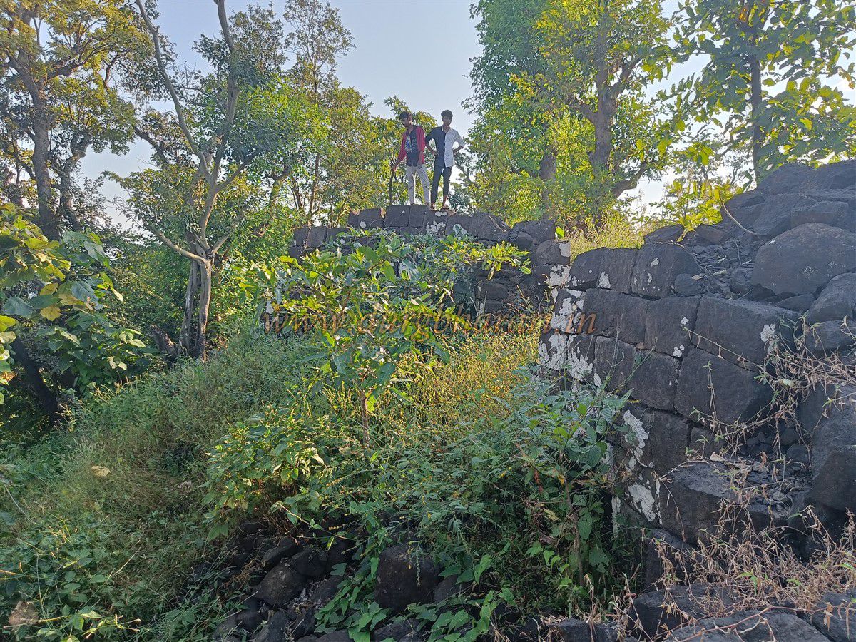
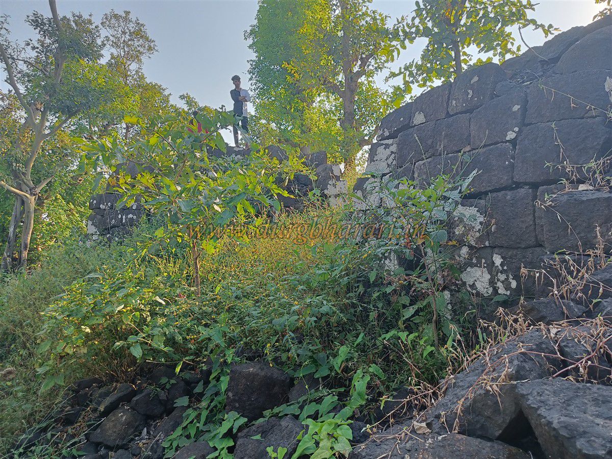
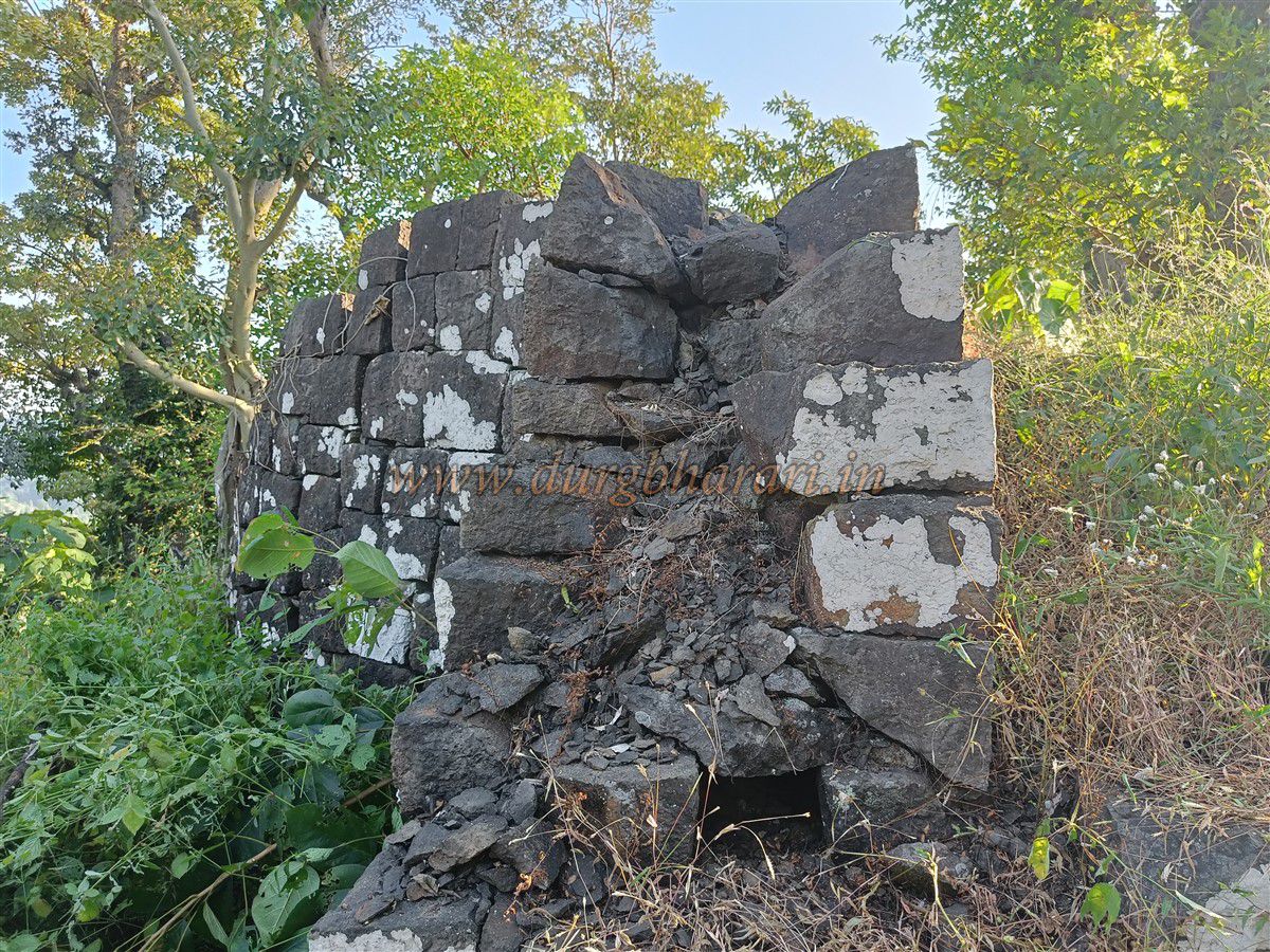
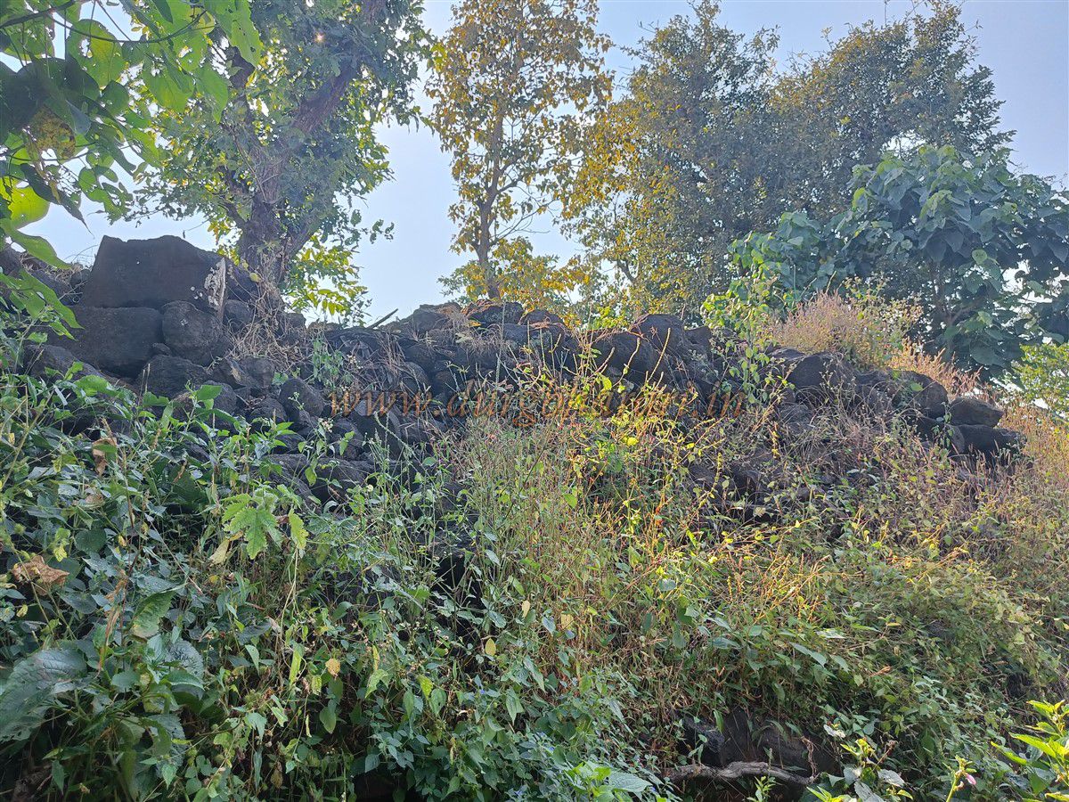
The entire fort is encircled by a 7-foot-high wall made of neatly arranged stone, with several bastions at intervals. From the point of entry, if you turn left and follow the wall, you reach the east-facing main gate of the fort, located between two bastions. This entrance is also made of cut stone, though the arch has collapsed. The hill across from this gate—often mistaken as the fort—is actually the Madi point, likely a watch-post on the approach route.
From the top of the walls, one can see the surrounding dense forest. A full tour of the fort takes about an hour. In 1784, after the death of Somdev, the Koli king of Ramnagar, a treaty was negotiated by Yesu Dalvi between the queen and Peshwa’s Officer Dhondo Mahadev. As a result, the fort came under Maratha control. At the time, Yesu Dalvi and Abaji Naik Palwe were appointed to oversee the fort. Descendants of the Dalvi family still reside in Pindval, and the Naik family in Piprol. The local language here is a mixture of Marathi and Gujarati.
© Suresh Nimbalkar
GALLERY