PERJAGAD
TYPE : HILL FORT
DISTRICT : CHANDRAPUR
HEIGHT : 1575 FEET
GRADE : MEDIUM
Perjagad is a hill located in Chimur Taluka of Chandrapur district, and it is well known as a local tourist destination not just in the nearby region, but across the entire taluka. Except during the summer, the hill attracts a steady stream of tourists and devotees throughout the year. Locally, this hill is popularly referred to as "Sat Bahini Cha Dongar" (Hill of the Seven Sisters) because idols representing these seven deities have been installed there.
Though it is locally known as a pilgrimage site, the hill is not widely recognized as a fort. However, during a fort exploration journey in Gadchiroli, fort researcher Ganesh Bansode shared information suggesting that remnants of fortification could be seen on this hill, prompting a visit.
...
Perjagad is located about 127 km from Chandrapur and 27 km from Chimur. From Gadchiroli, the distance is approximately 84 km. The base village of the hill is Sonapur, located on the Chimur–Talodhi road. From Sonapur, there is a 3 km unpaved road leading toward the foothill of the fort. If one is traveling with a private vehicle, this distance can be covered by car; otherwise, it must be walked. As public transportation in this area is limited, it is advisable to use a private vehicle for convenience.
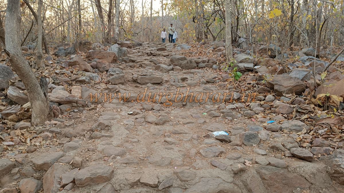
Perjagad and its surroundings fall within the GhodJhari Wildlife Sanctuary, and hence forest department officials are deployed in the area. Entry to the hill is restricted to the time between 9:00 AM and 5:00 PM only. Where the rough road ends, an archway marks the starting point of the trail leading uphill. Beyond a few initial stone steps, the entire path is steep and made of natural rock.
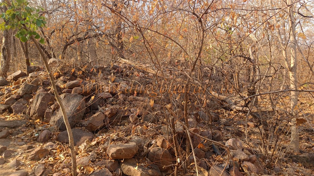
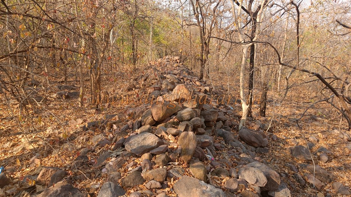
After a 10-minute climb, one reaches a broken idol of Lord Ganesha. From here, entry to the hilltop is via a ruined section of fort wall. This area seems to be a part of the outer fortification, with the wall extending in both directions, though dense vegetation restricts access along its length. The wall, constructed with tightly arranged stones, is about 5–6 feet wide and 8–10 feet high. Initially, the wall follows a straight line along the slope and then continues upward toward the main hill. Due to thick vegetation, the exact location of the original entrance is not clearly visible.
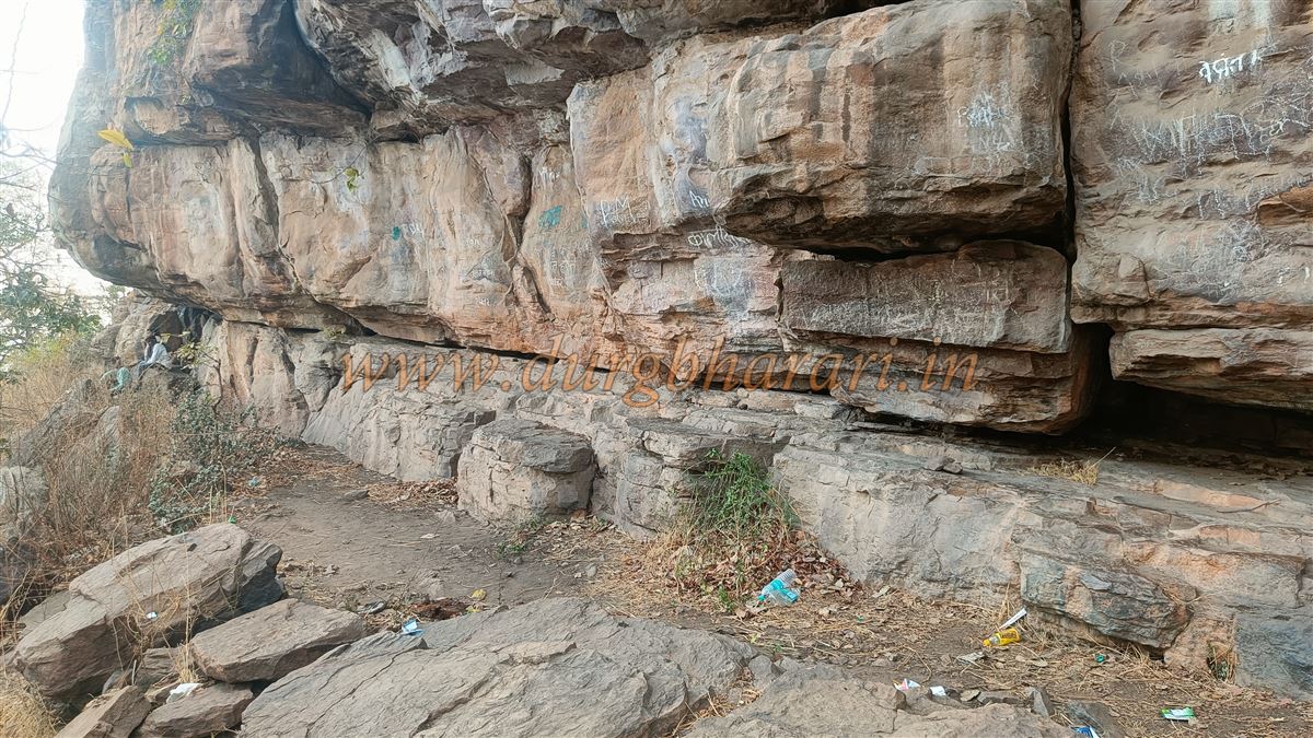
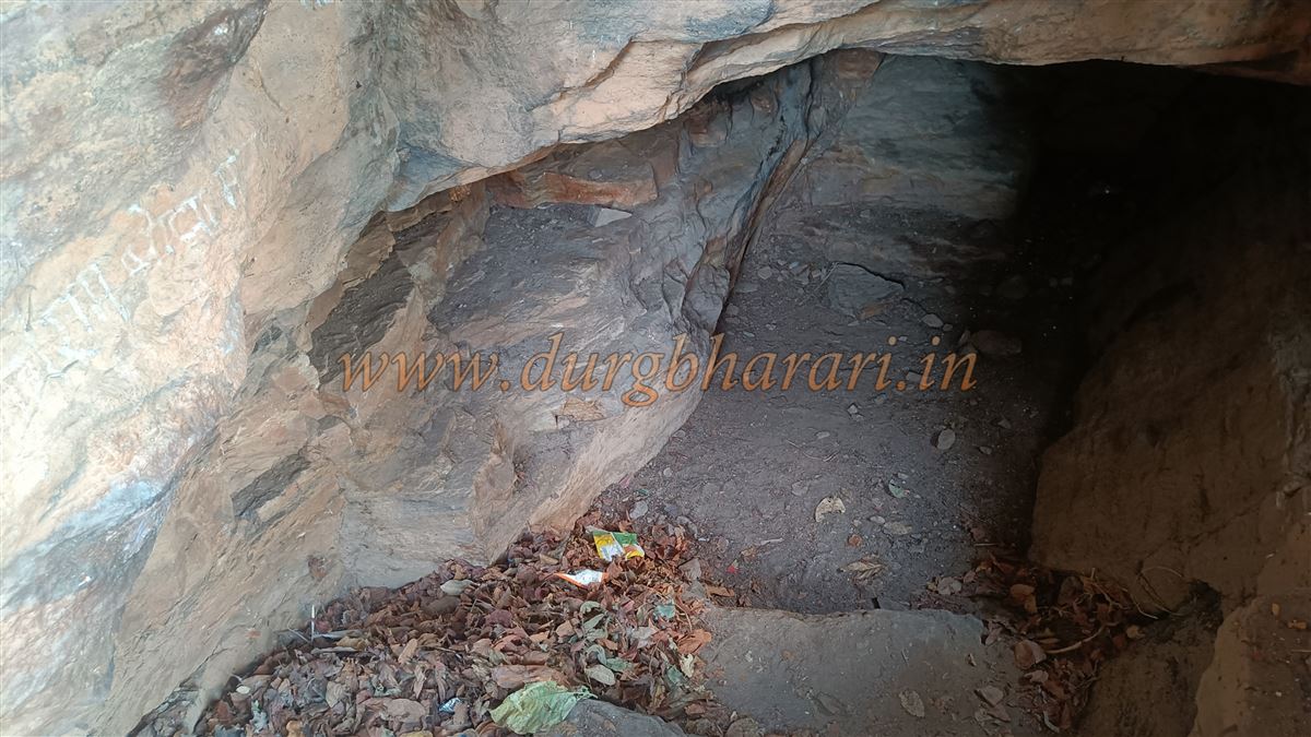
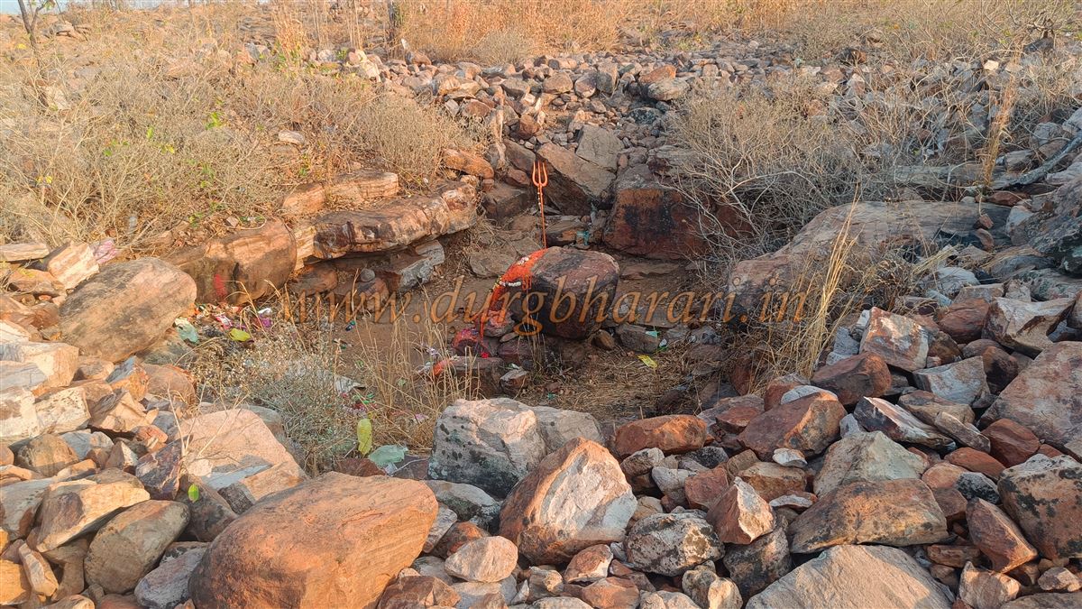
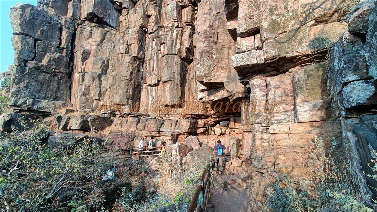
The path continues further up toward the base of a prominent rocky pinnacle (needle-like peak). At the base of this rock formation is a water tank carved into the rock, which is currently dry. A path leads around the pinnacle to the rear side, where one can see a ruined bastion built against the hill. The path continues along the edge of the cliff, eventually reaching what appears to have been the site of the original entrance—based on its structural layout.
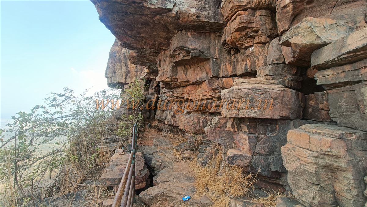
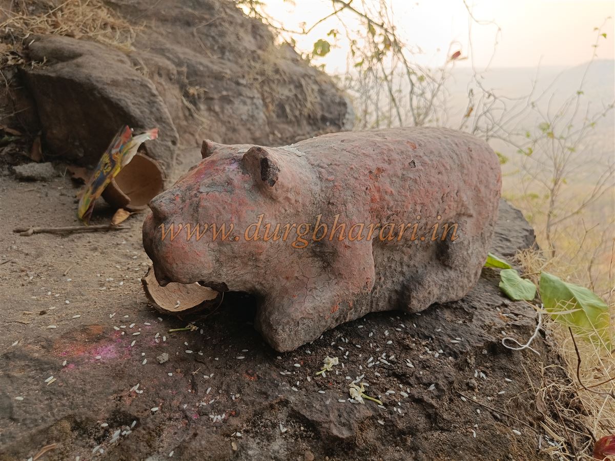
From this point, a partially risky path ascends the pinnacle, which has been secured with iron railings by the forest department. Midway up the pinnacle, in a rock shelter, there are installed idols of seven deities—Muktai, Abai, Nibai, Bhivarai, Powarai, Umai, and Gaurai. Among them, Muktai is regarded as a patron deity of the Mana tribal community.
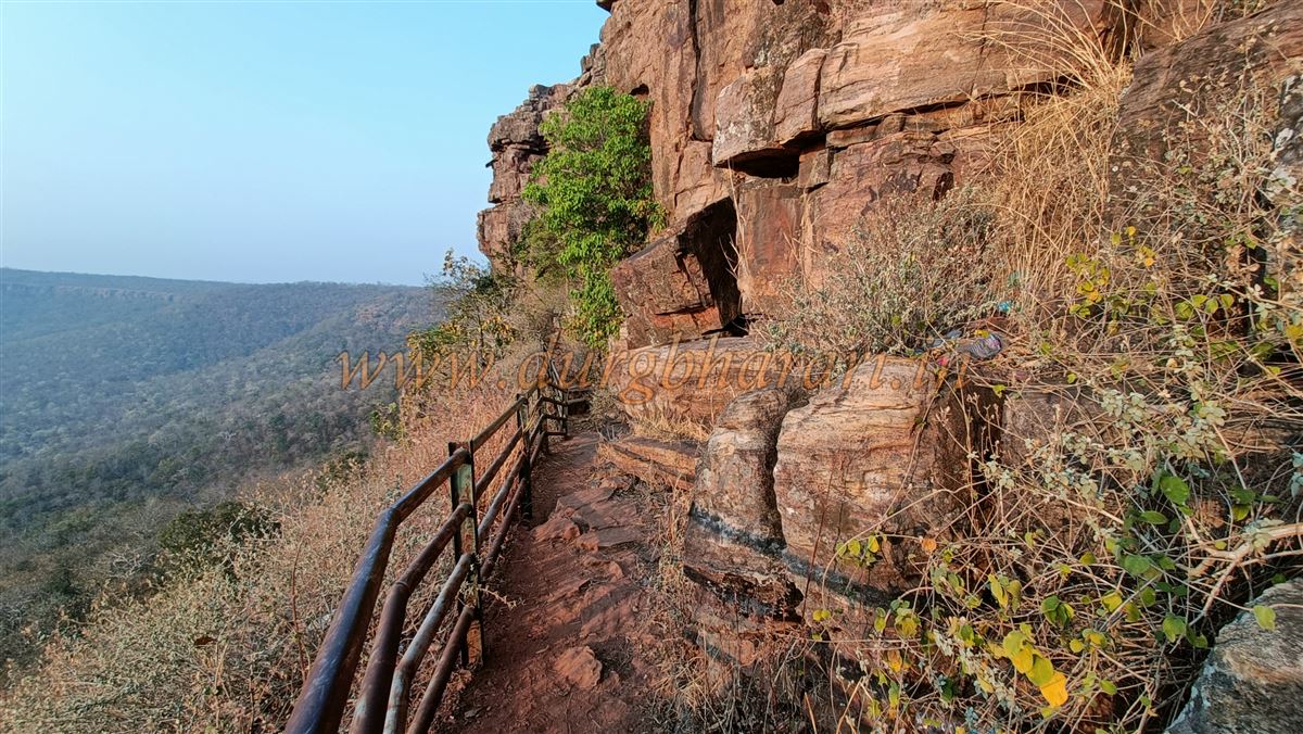
From here, the trail circles the pinnacle at multiple levels before finally leading to the summit. The final stretch of the climb is particularly narrow and carved entirely into the rock, with steep stone steps allowing only one person to ascend or descend at a time.
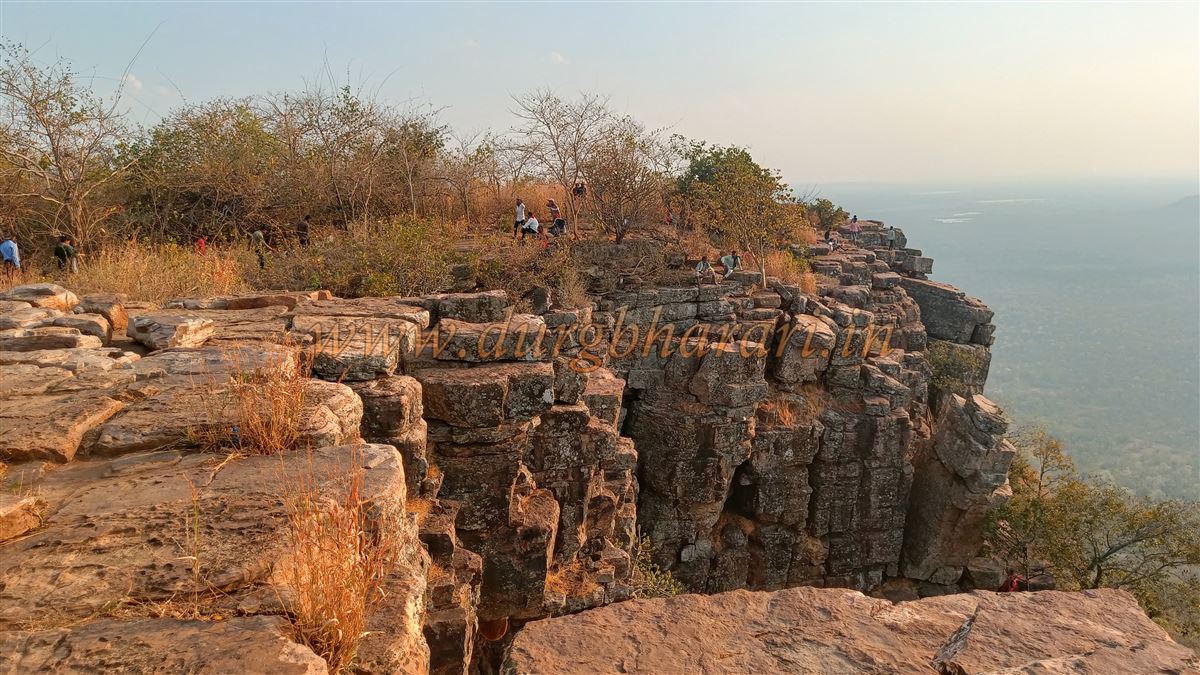
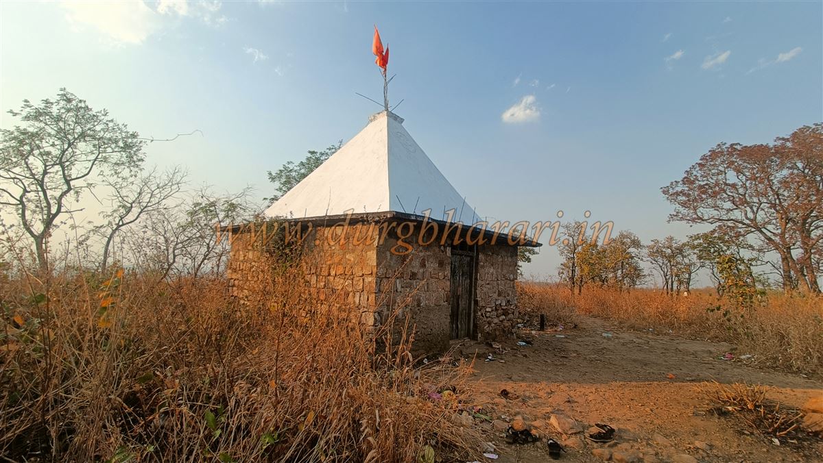
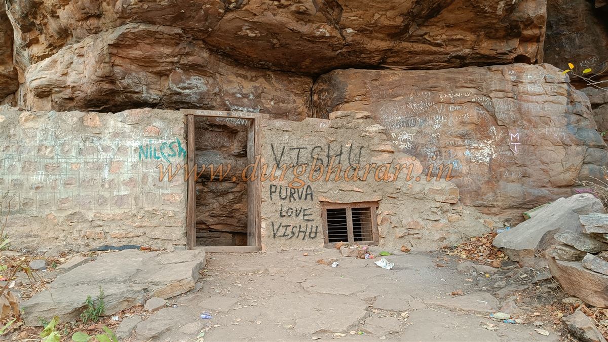
The summit of Perjagad is not very large, but it features two small water tanks and a temple dedicated to Lord Mahadev (Shiva). The climb from the base to the top takes around one hour, and 15 minutes is sufficient to explore the summit.
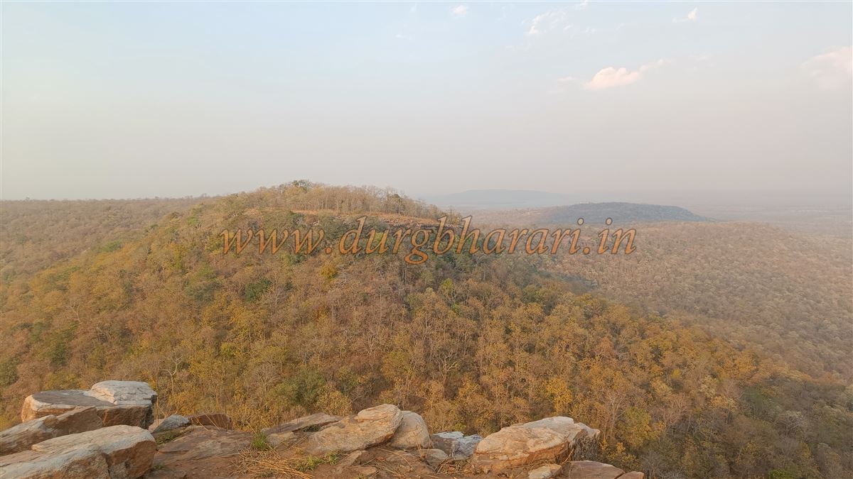
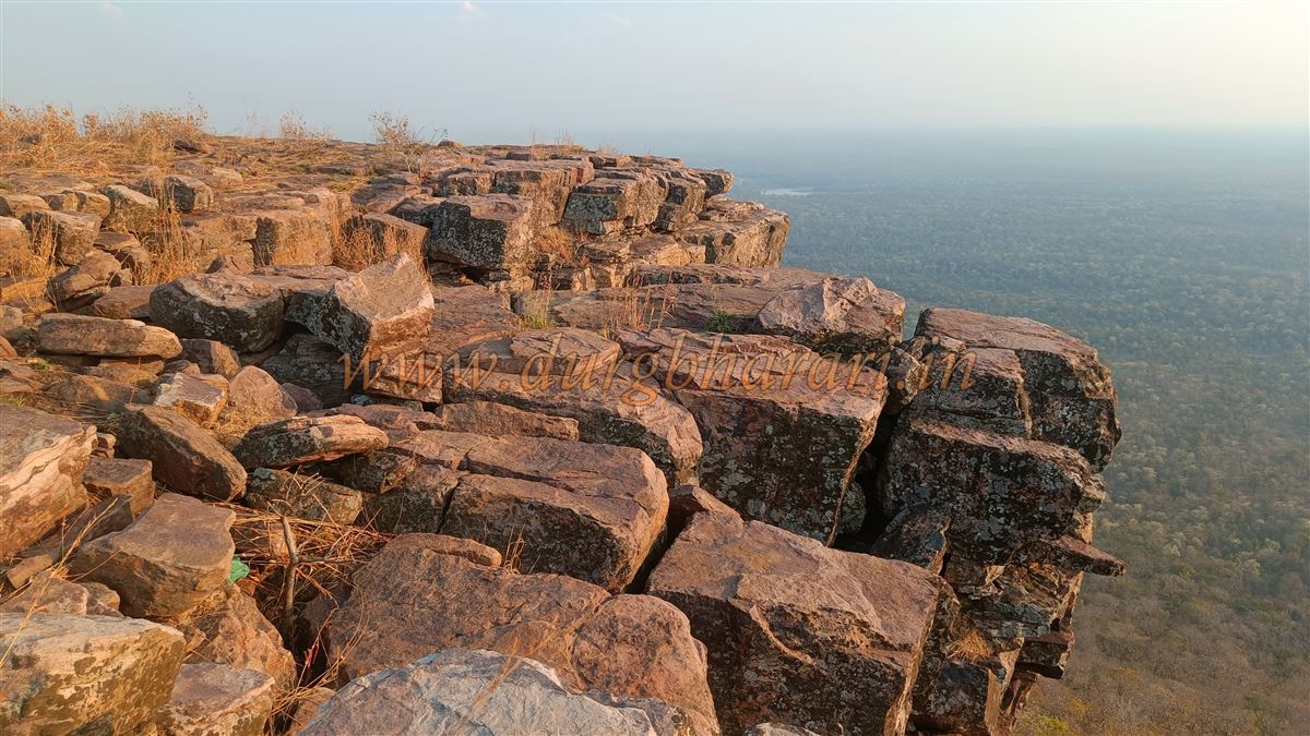
Standing at 1,575 feet above sea level, the hill offers a panoramic view of the surrounding landscape, especially the thick forests that dominate this region. Since the hill is not popularly known as a fort, its history also remains largely obscure.
© Suresh Nimbalkar
GALLERY