PEDKA
TYPE : HILL FORT
DISTRICT : AURANGABAD
HEIGHT : 3000 FEET
GRADE : MEDIUM
In the Satmala mountain range between Pitalkhora and Ajanta in Aurangabad district, there are several forts. However, except for well-known ones like Daulatabad and Antur, most others remain relatively unknown. This district, known as a tourism hub of Maharashtra, suffers from extremely poor road infrastructure outside of the main tourist routes and highways, which prevents visitors from exploring these lesser-known forts.
One such lesser-known fort is Pedka Fort, located to the south of Gautala Wildlife Sanctuary in Kannad Taluka. To visit Pedka Fort, one needs to reach Pedka wadi, the base village of the fort. For those traveling from Mumbai or Pune, the best route is via Manmad–Nandgaon. The distance from Manmad to Jehur is around 68 km, and the route goes through Manmad–Nandgaon–Jategaon–Boltan–Jehur. From Aurangabad, it's about 70 km via the route Aurangabad–Verul–Chapner–Jehur, which takes around 3 hours.
...
From Jehur to Pedka wadi is a distance of 5 km. Though Pedka wadi is at the foothill, it is more convenient to reach from Ganga Ashram, which is just 3 km from Jehur. This route saves time and gets you closer to the fort. Since vehicular access is only available up to Jehur, one must walk from Jehur to Ganga Ashram or Pedka wadi in the absence of a private vehicle.
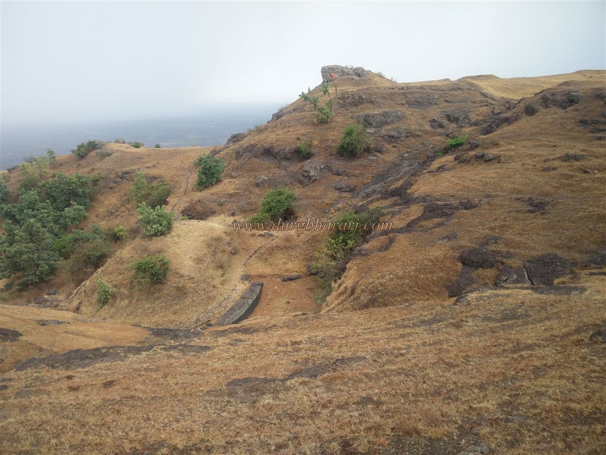
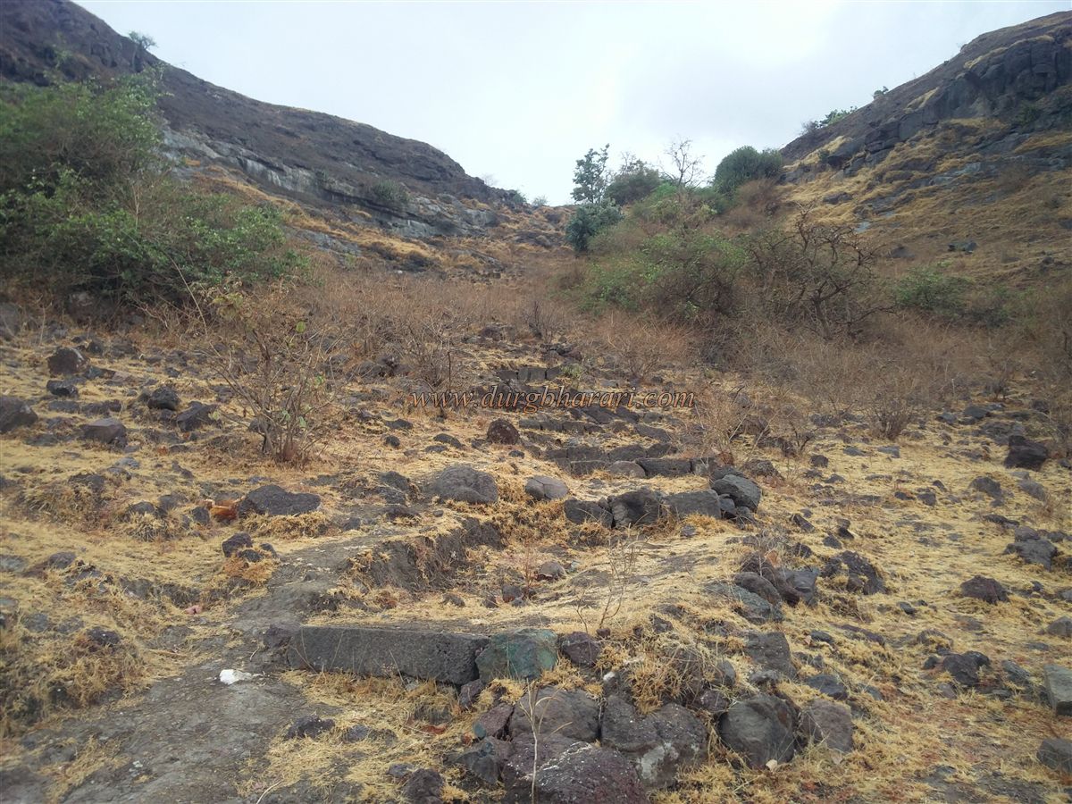
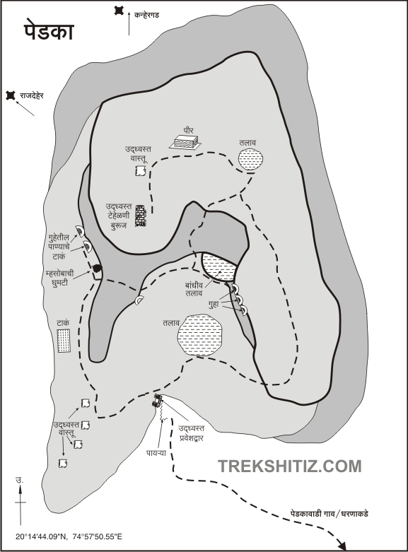
Upon reaching Ganga Ashram, the fort of Pedka, situated at the edge of a north-south hill, catches the eye. A steep climb in front of the ashram leads to the plateau, which is divided into three levels. From here, a worn trail leads to a gorge located between two spurs of the fort in about an hour. Along this path, one finds many crystal stones, which have been arranged by local shepherds into human-like figures.
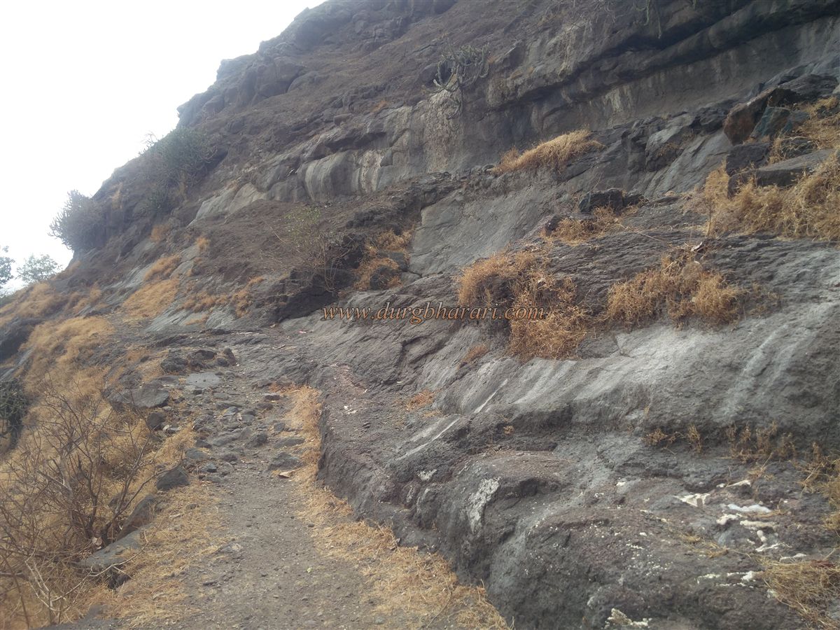
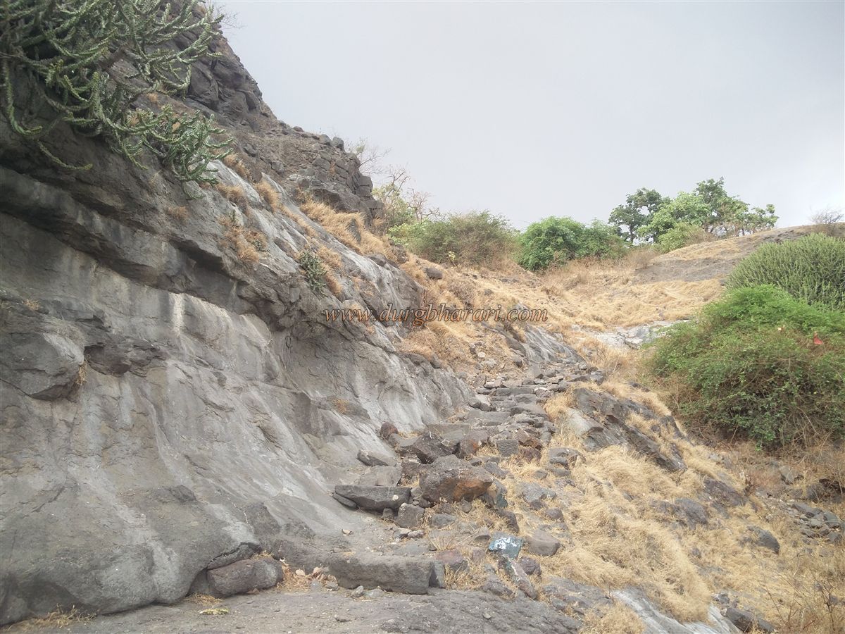
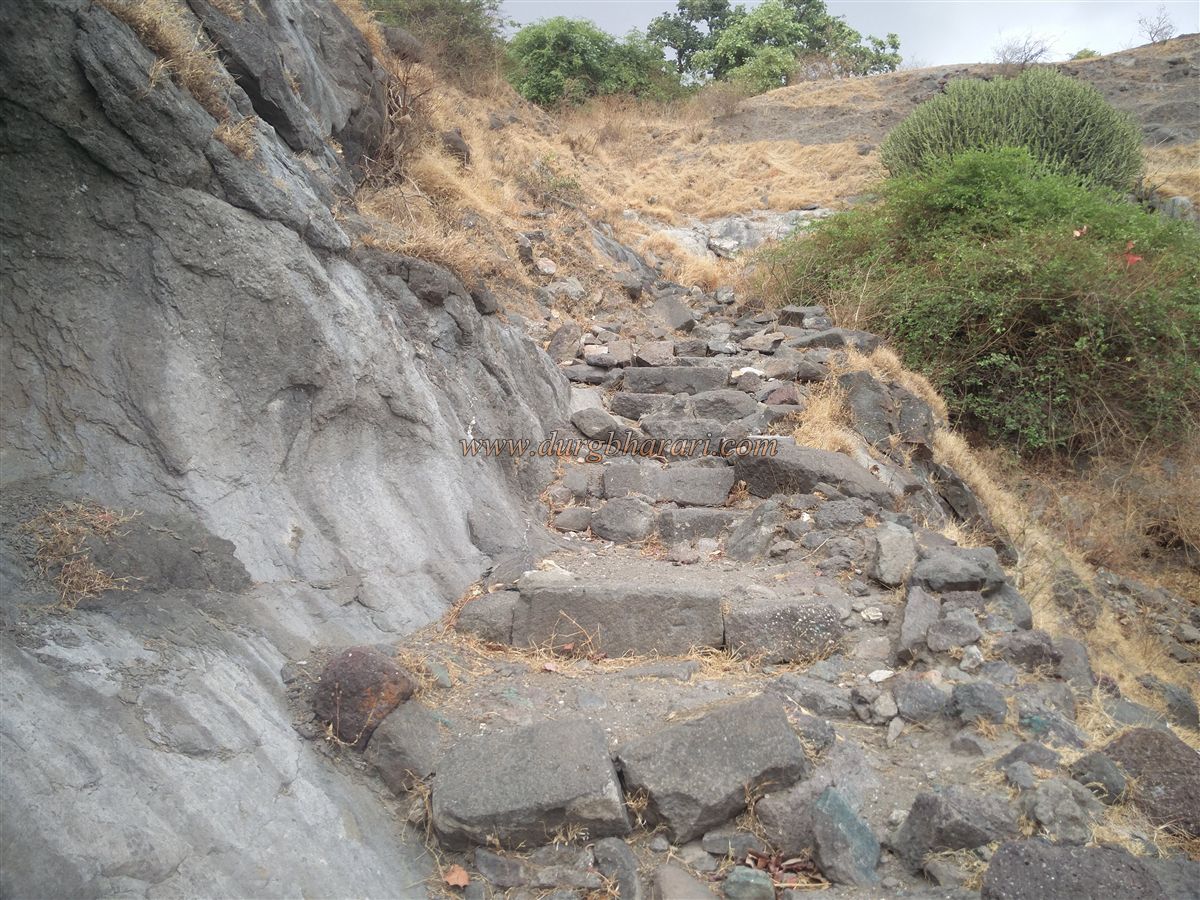
Another route from Pedka wadi also joins here, and this marks the true beginning of the fort ascent. The path from the gorge goes alongside the left spur, and the steps constructed on this path are mostly in ruins. After climbing the remaining steps, one enters the fort’s Machi (lower level) via the ruined west-facing entrance on the left spur. This is the only known entrance to the fort, and the climb from the base takes around 1.5 hours.
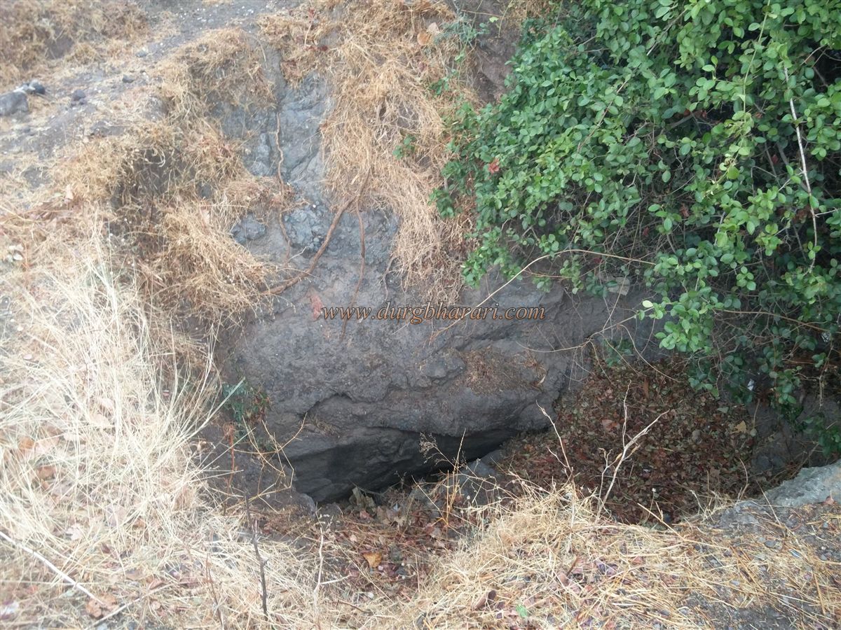
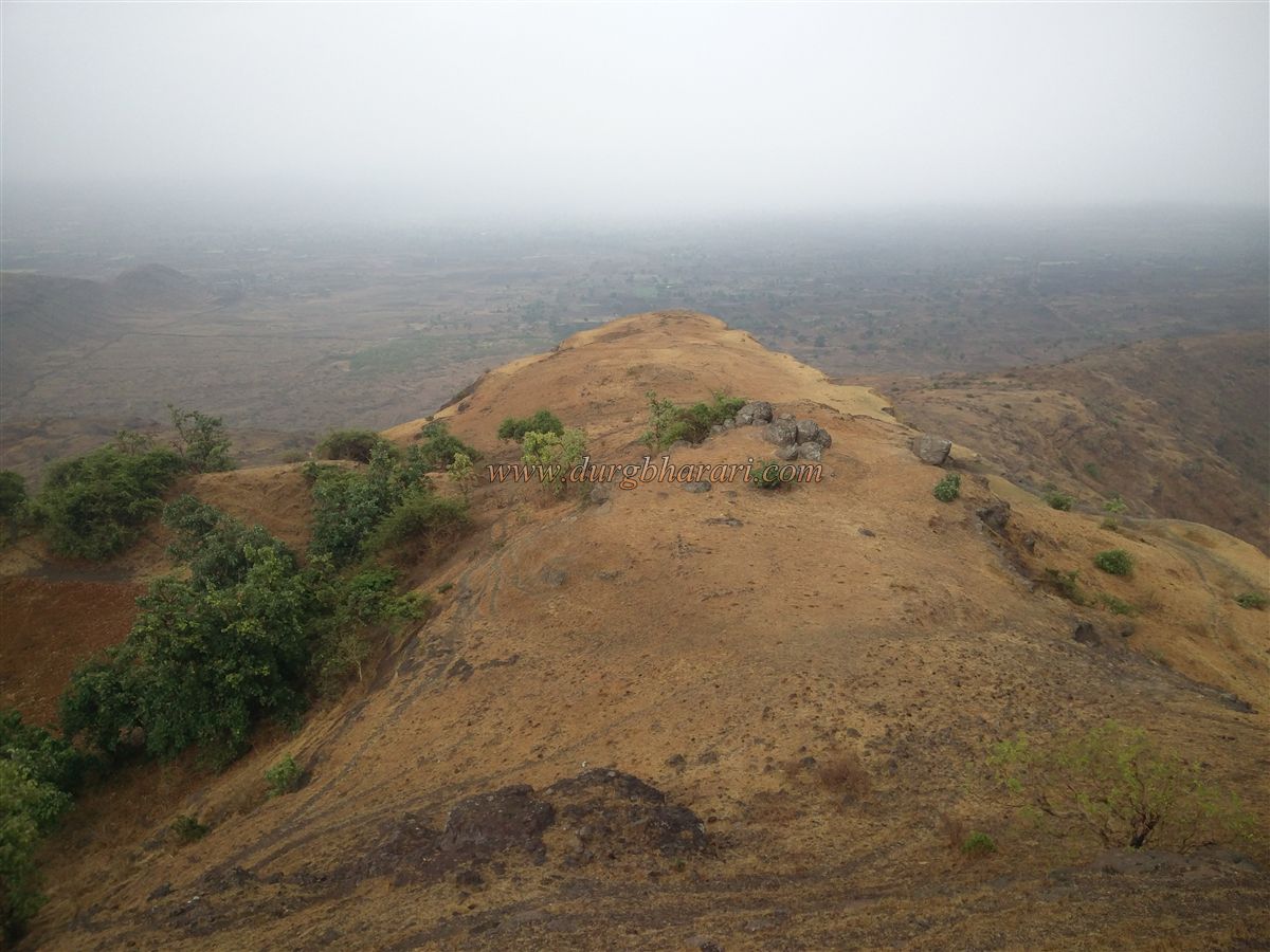
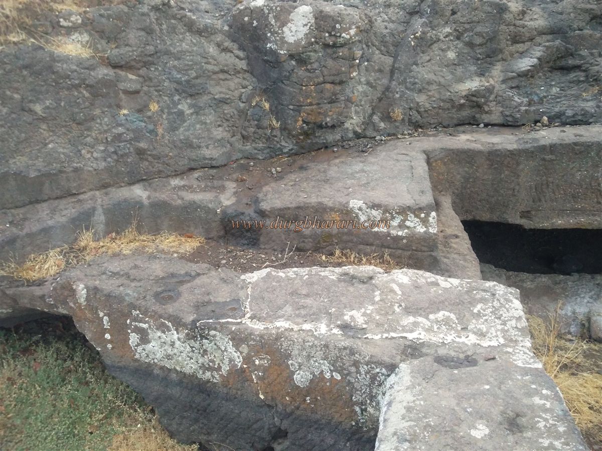
The fort stands at a height of 3010 feet above sea level and is spread over 12 acres, stretching in a north-south direction. On the Machi, one can see 1-2 plinths as remnants of former structures. Walking along the trail keeping the fort hill on the right and the valley on the left, one comes across three rock-cut water tanks. The first tank, known as Khaambtaki, is filled with silt in its front section. This is the only tank with potable water on the fort.
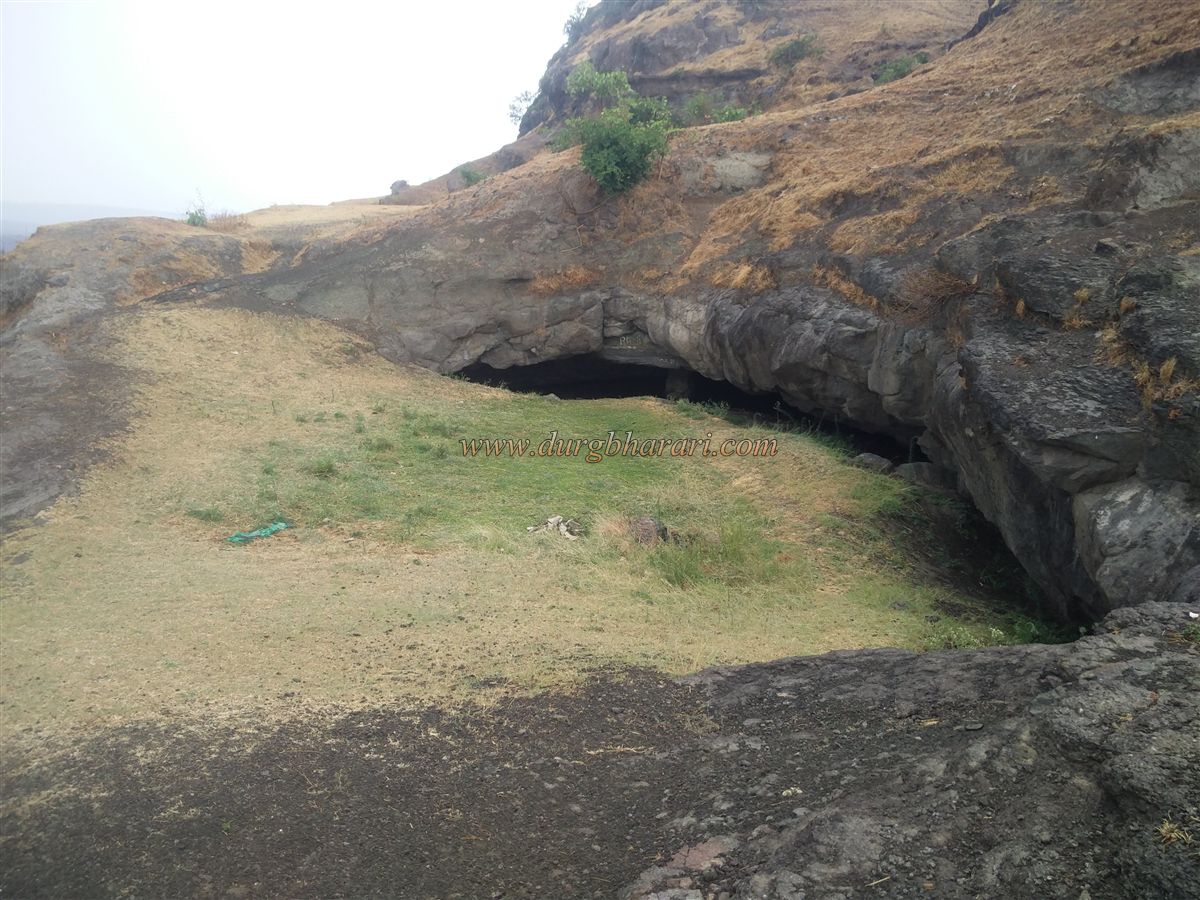
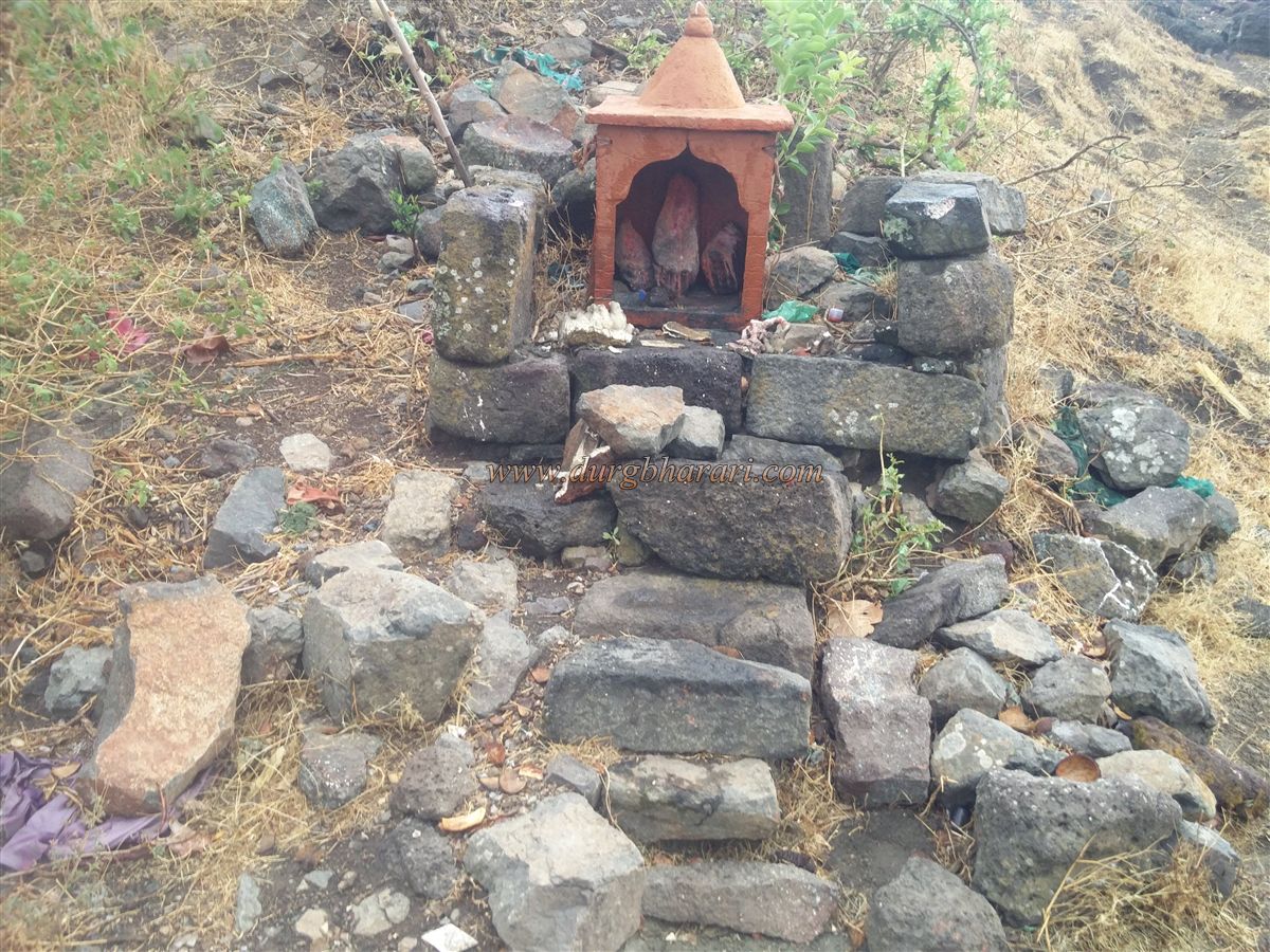
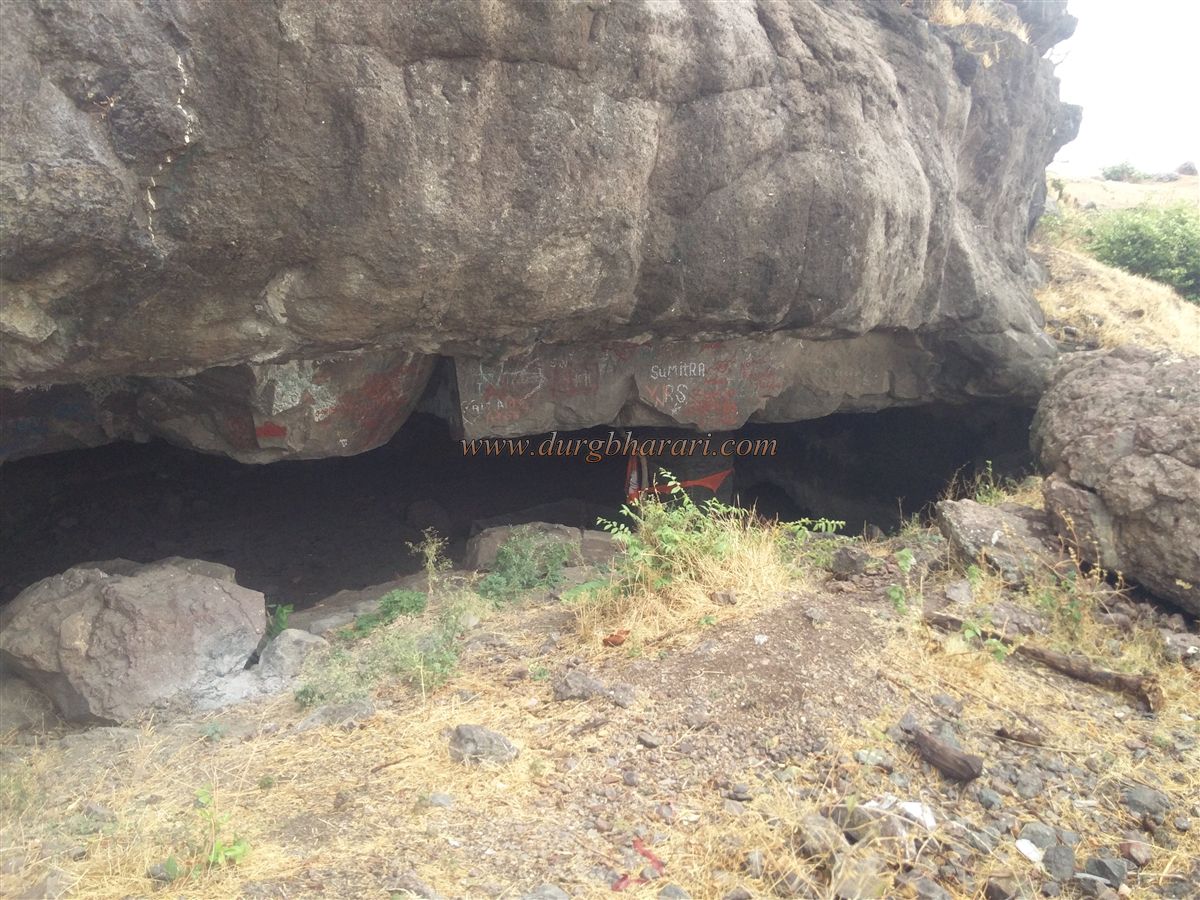
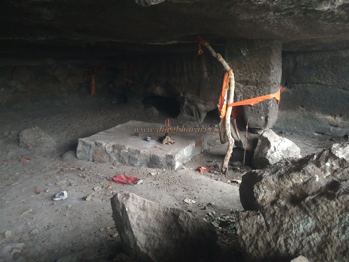
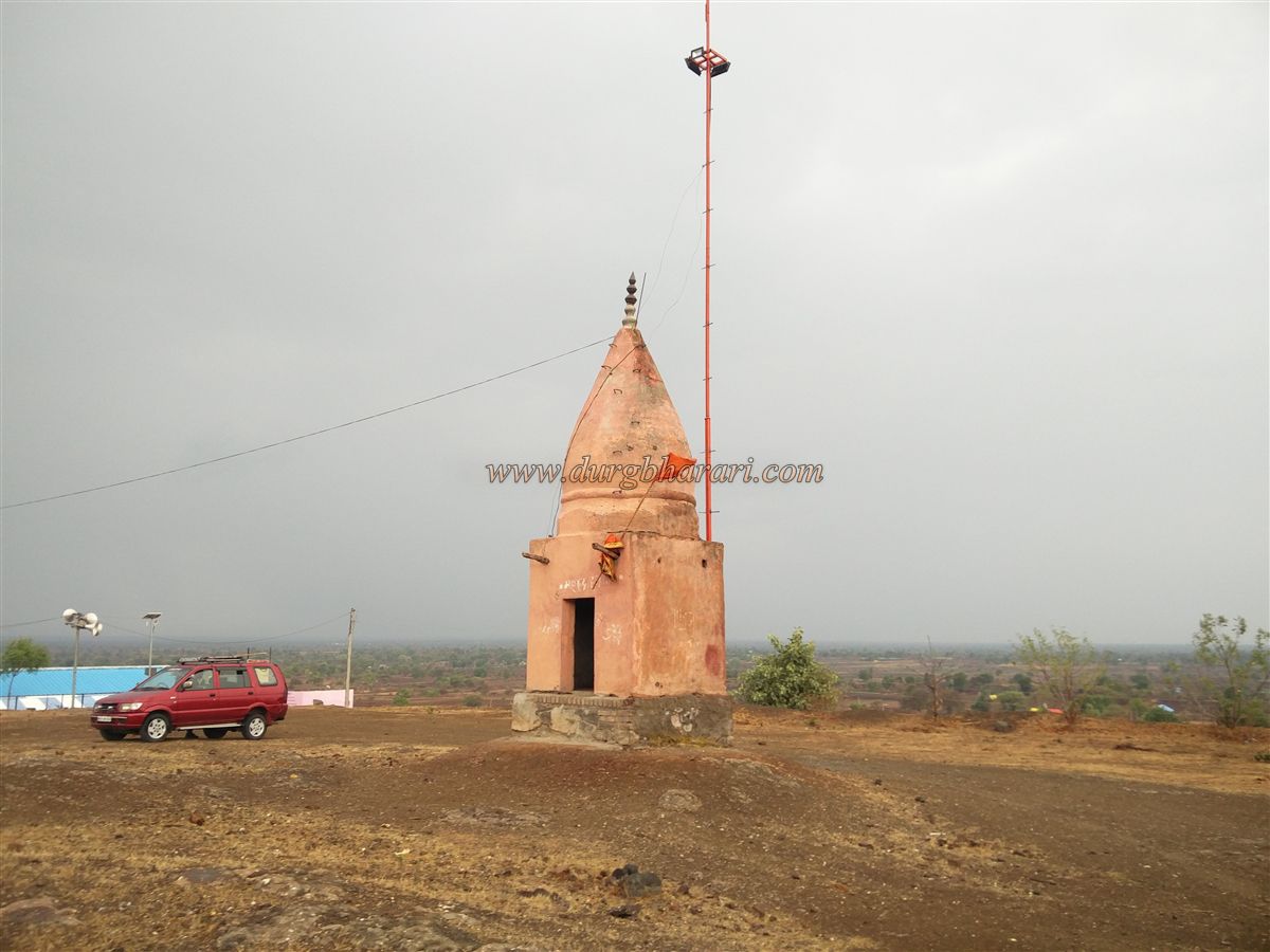
Further along, to the right, are two rock-cut pillars with a tank carved into the cliff wall. Just beyond this tank is a cave carved into the rock, housing a plinth with a Trishul (trident), Nandi (bull), and Shivling placed upon it. Continuing further uphill, there’s another dry tank covered with vegetation. Above this tank lies a small shrine containing vermilion-smeared stones.
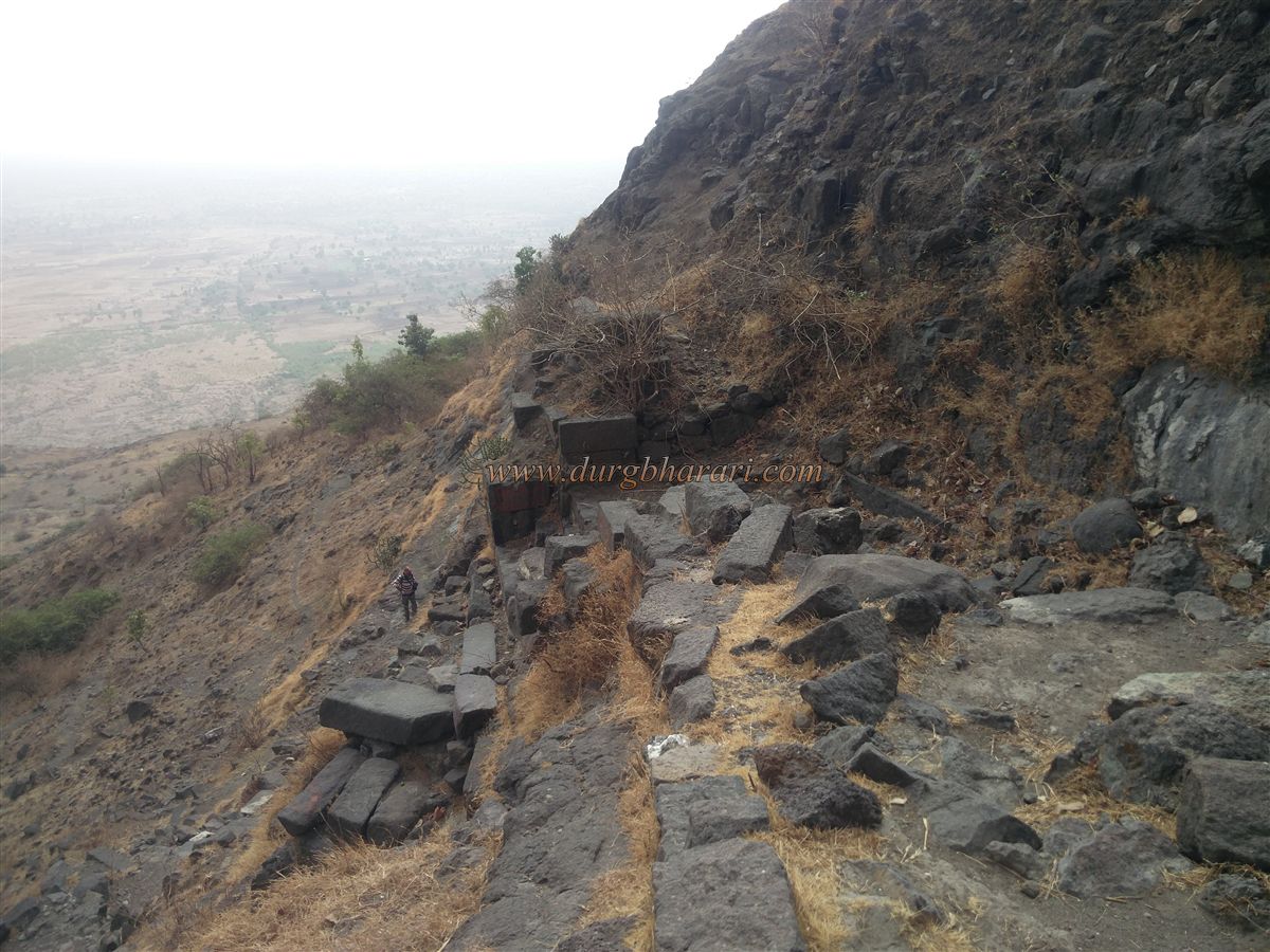
As you ascend toward the summit, between two hills of the fort, a large pond and a cave can be seen in the lower area. However, it's advisable to explore the top of the fort first. Adjacent to the path of ascent, to the left, is a mound, which is actually a buried bastion, offering a full view of the ascent path and Machi below.
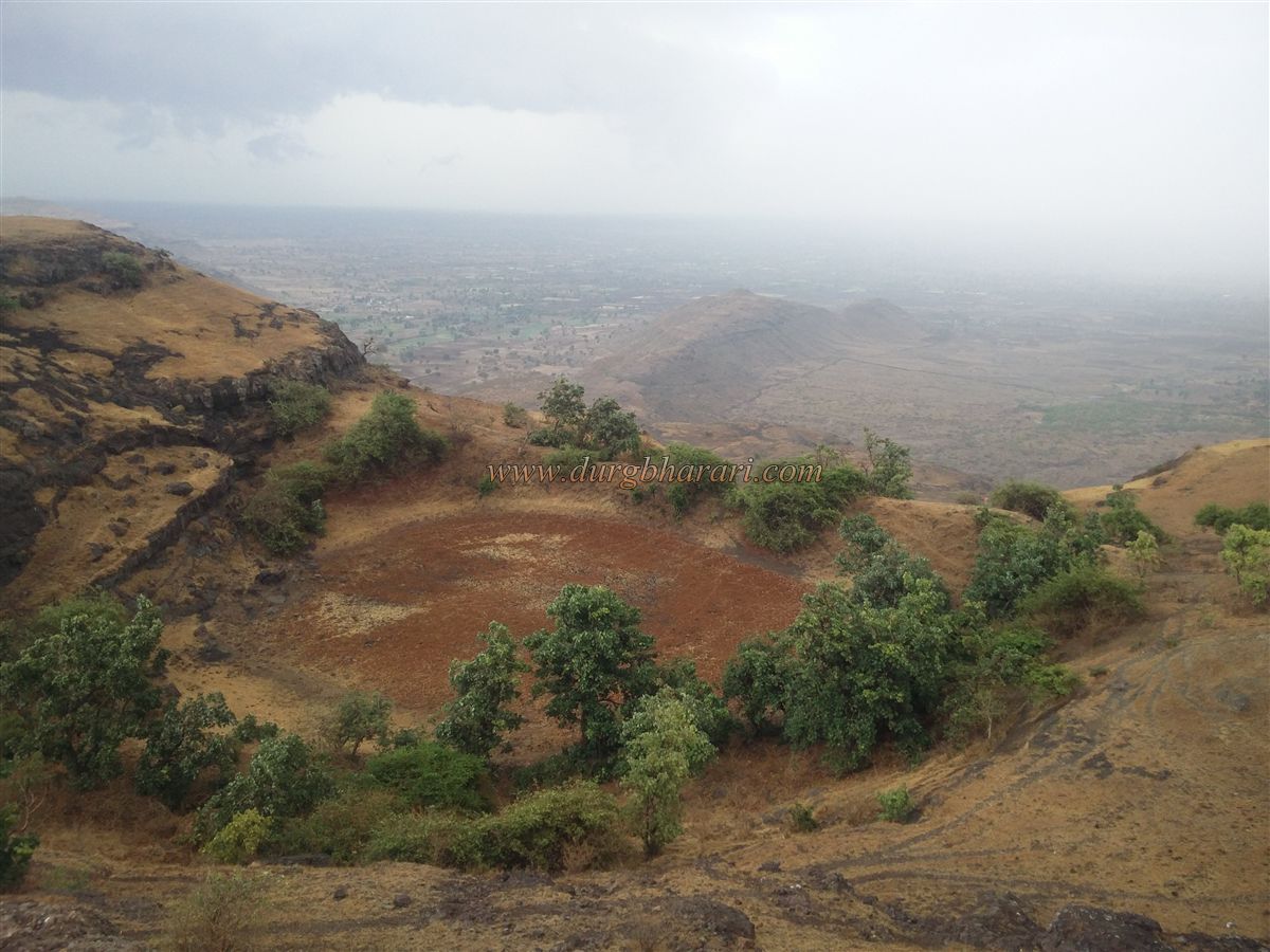
At the centre of the summit, there is only one remaining plinth of a building, upon which lies a grave. In front of the grave is a stagnant pond. Apart from this, no other remnants are found on the summit. From the top, one can see Pedka Dam below, Chivli Mahadev Hill to the east, and the Pitalkhora range and Kanhergad to the south.
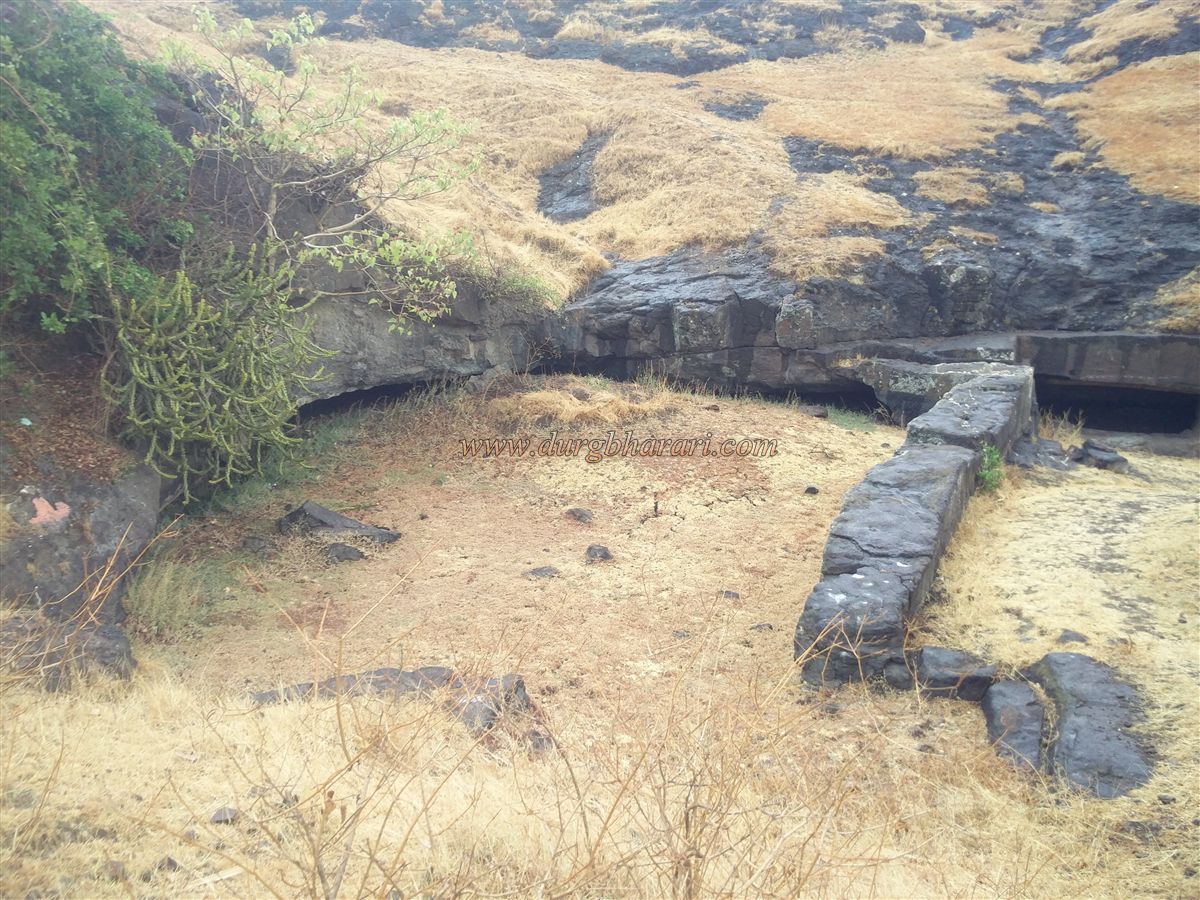
After exploring the summit, one should descend in the direction of the earlier mentioned pond. A traditional water filtration system, common on many forts in Maharashtra, is seen here as well. Instead of directly allowing water to flow into the main pond, two smaller ponds above it are used to collect runoff. Once these small ponds fill up, carved outlets in the rock at their edges let the filtered water flow into the main pond, minimizing the accumulation of silt. However, as this silt is no longer cleared, all the ponds are now filled with mud and debris.
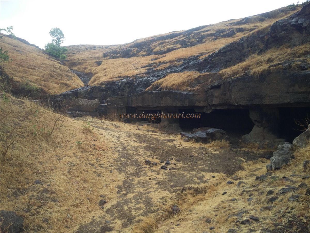
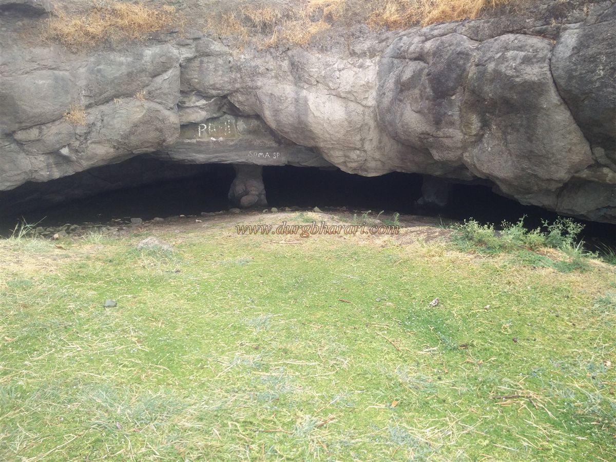
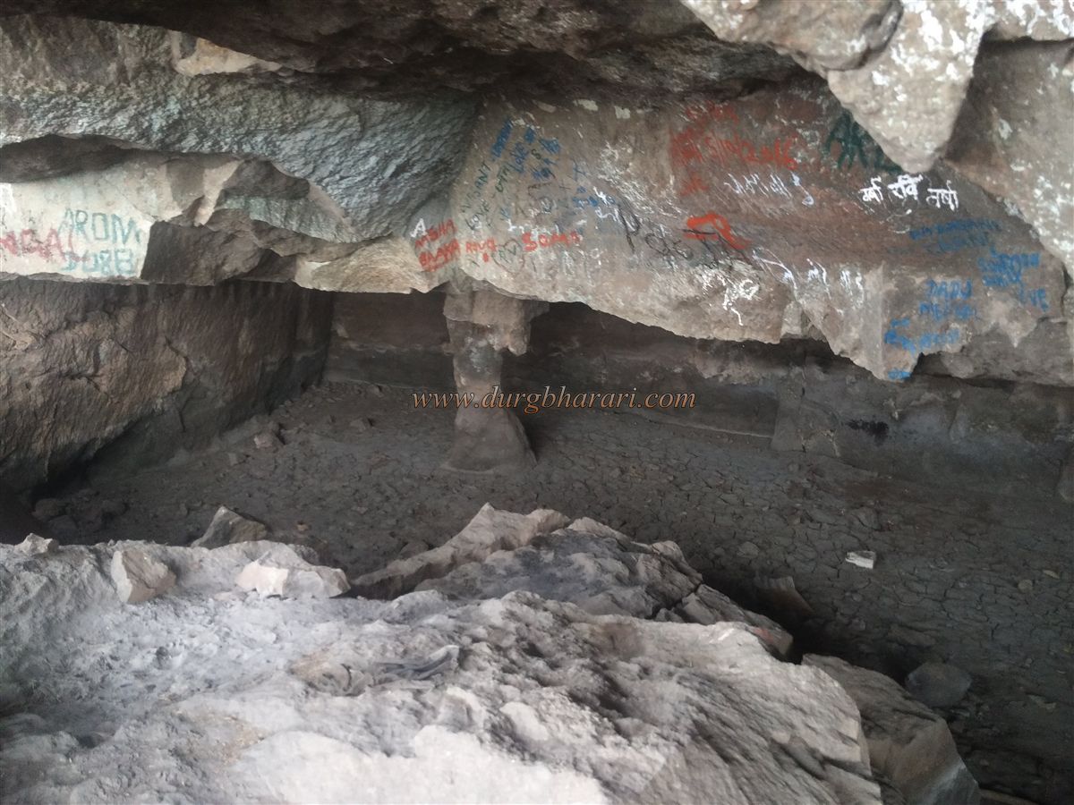
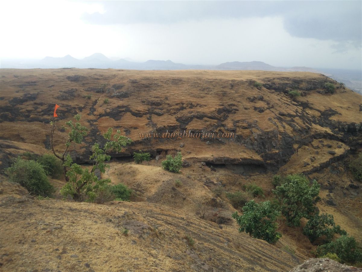
Next to these small ponds is a large cave supported by two pillars, with an inner chamber capable of accommodating 20–25 people. Beside this are two unfinished caves, marking the end of the fort tour. The entire exploration of the fort takes about 1 hour.
Judging by the remains and structure, it appears the fort was primarily built for watchtower or surveillance purposes. The rock-cut cisterns and caves suggest that Pedka Fort was likely constructed in the 6th or 7th century. A chain of forts was built for surveillance along the route to Devgiri, the Yadav capital. After the defeat of the Yadav, Devgiri lost its strategic importance, and so did these outpost forts.
The "Badshahnama" chronicles state that in 1630–31 AD, under the orders of Mughal emperor Shahjehan, the Mughal commander Sipahandar Khan invaded this region and captured it.
If traveling by private vehicle, both Rajdher and Pedka forts can be visited in a single day starting from Chalisgaon or Manmad, with an overnight halt at Patna Devi.
© Suresh Nimbalkar
GALLERY