PAVANGAD
TYPE : HILL FORT
DISTRICT : KOLHAPUR
HEIGHT : 3080 FEET
GRADE : EASY
Maharashtra is known as the land of forts. The variety of forts seen in Maharashtra is unmatched by any other region in India. One such example is the numerous fort pairs found across the state. Among them is the Panhala–Pawangad duo in the Panhala Taluka of Kolhapur district. While Panhala Fort is always crowded with tourists, its twin—Pawangad—rarely receives any attention, despite being built under the rule of Chhatrapati Shivaji Maharaj. Let us now begin our exploration of Pawangad!
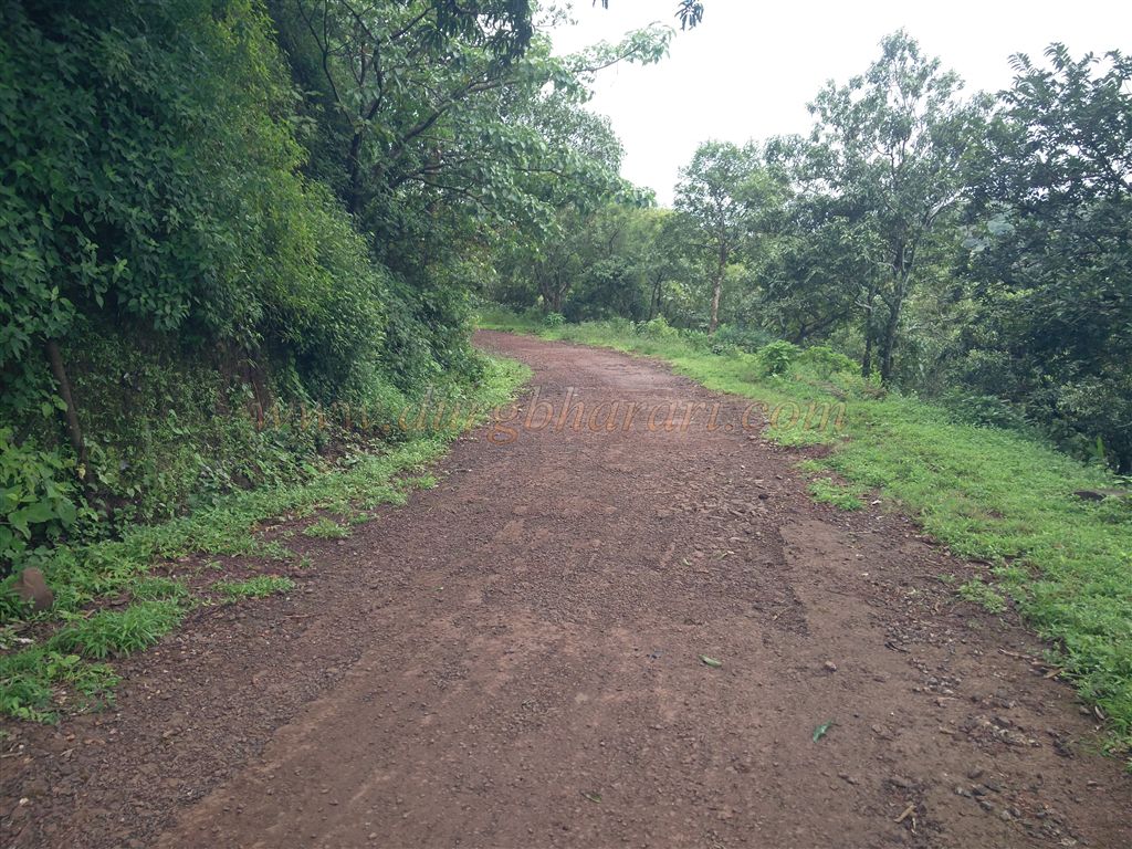
To reach Pawangad, a rough road branches off from beneath the Kaliburuj bastion on the eastern side of Panhala and proceeds via Redeghat. However, our approach will be by foot. From the village of Waghbil at the base of Panhala, the hill seen to the left is Pawangad.
...
There are two foot trails to reach the top, both beginning from Budhwar Peth at the base of the fort. As there is still a settlement atop the fort, these paths are well-trodden. The first path climbs behind the Zilla Parishad School in Budhwar Peth and takes about 20 minutes. The second, more convenient route, begins near the Panhala checkpoint, ascends through the Panhala–Pawangad pass, and joins the rough road from Redegat. This route takes only about 10 minutes.
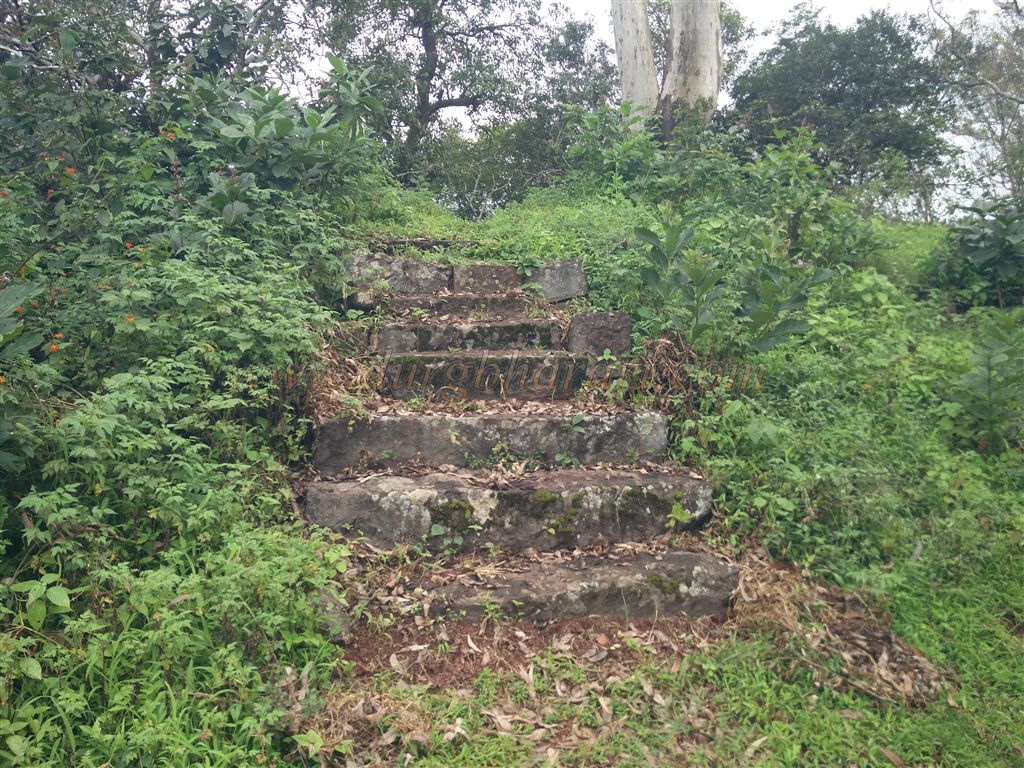
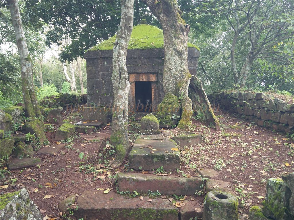
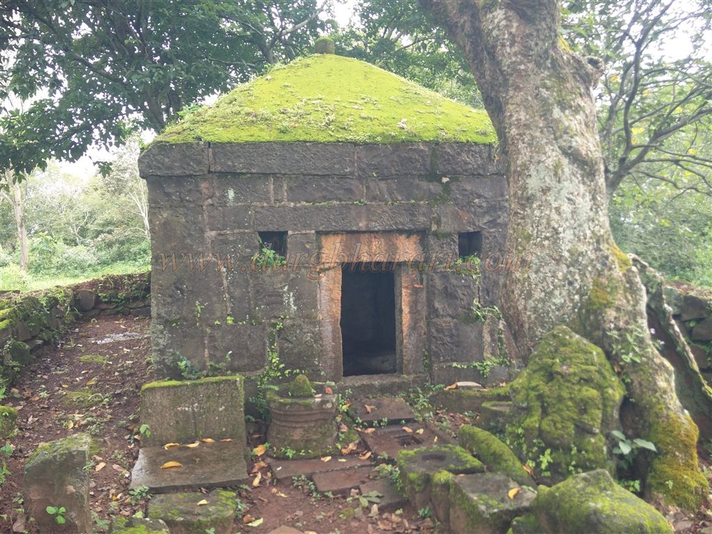
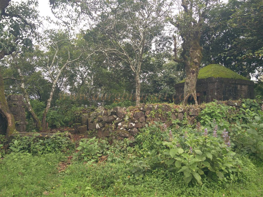
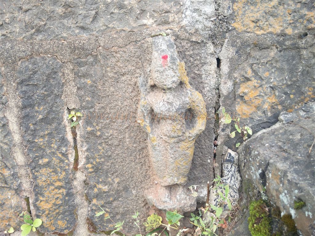
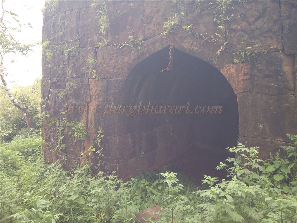
The gate that once stood along this trail was completely demolished by the British in 1944, leaving no trace. As we proceed along the rough path, a few stone steps lead to a small Shiva temple enclosed by a low stone wall. Within the compound are broken idols (Shivling, Nandi, and Ganesha), and outside is a collapsed deepmala (lamp tower). Continuing onward, on a nearby plateau lies another temple—this one dedicated to the fort’s presiding deity. The temple features two carved panels. In front of it stands another temple with a partially preserved idol of Hanuman. All three temples likely belong to the same historical period, and the surrounding fort walls remain largely intact.
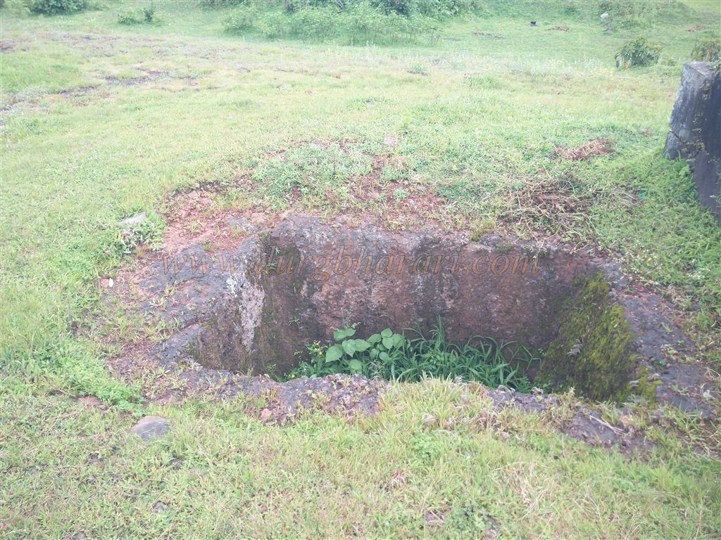
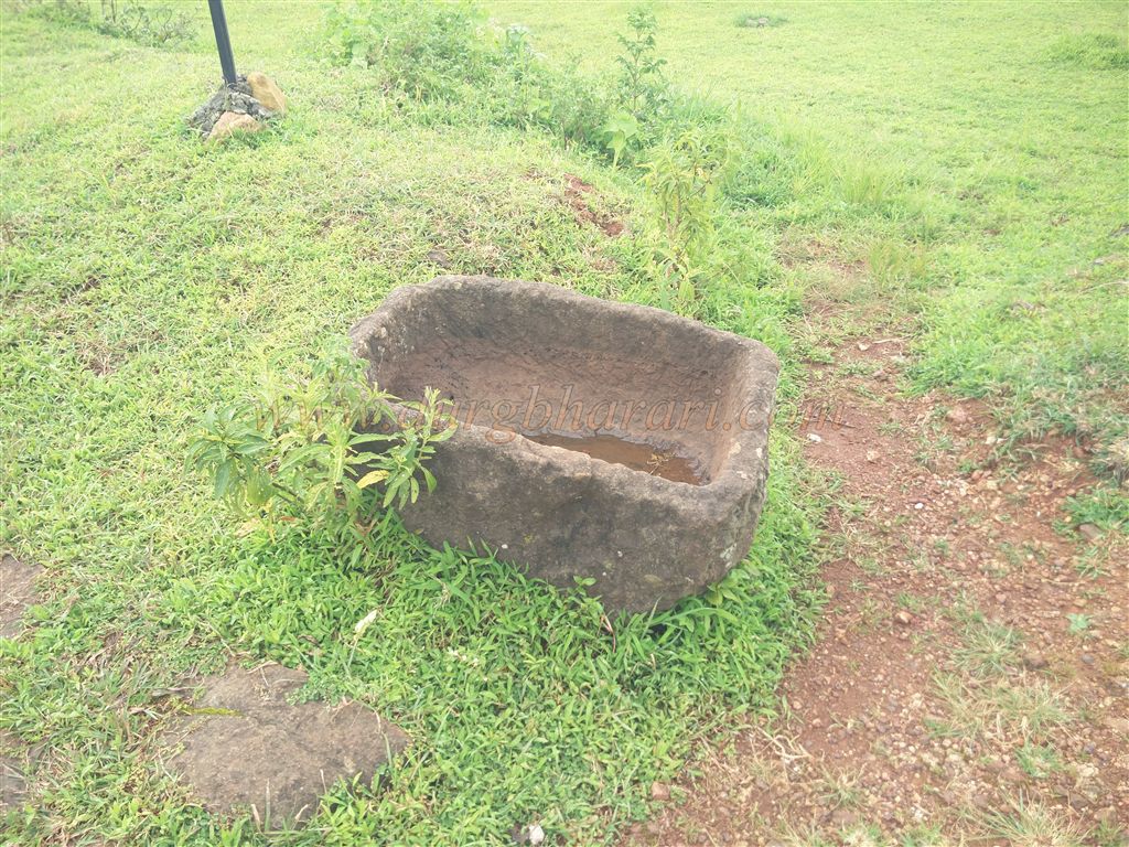
Heading further brings us to the main settlement atop the fort. The central area is relatively flat and houses most of the important structures. Instead of entering the village, if one continues to the left, they will come across a rectangular stepped well carved into rock. Beside the well is a stone trough. The steps are worn and slippery, requiring caution. The bottom of the well reveals a stone arch, though the water is not potable.
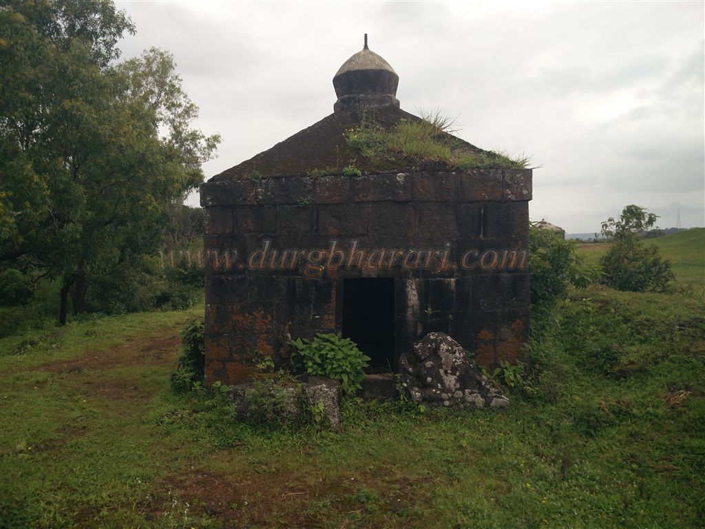
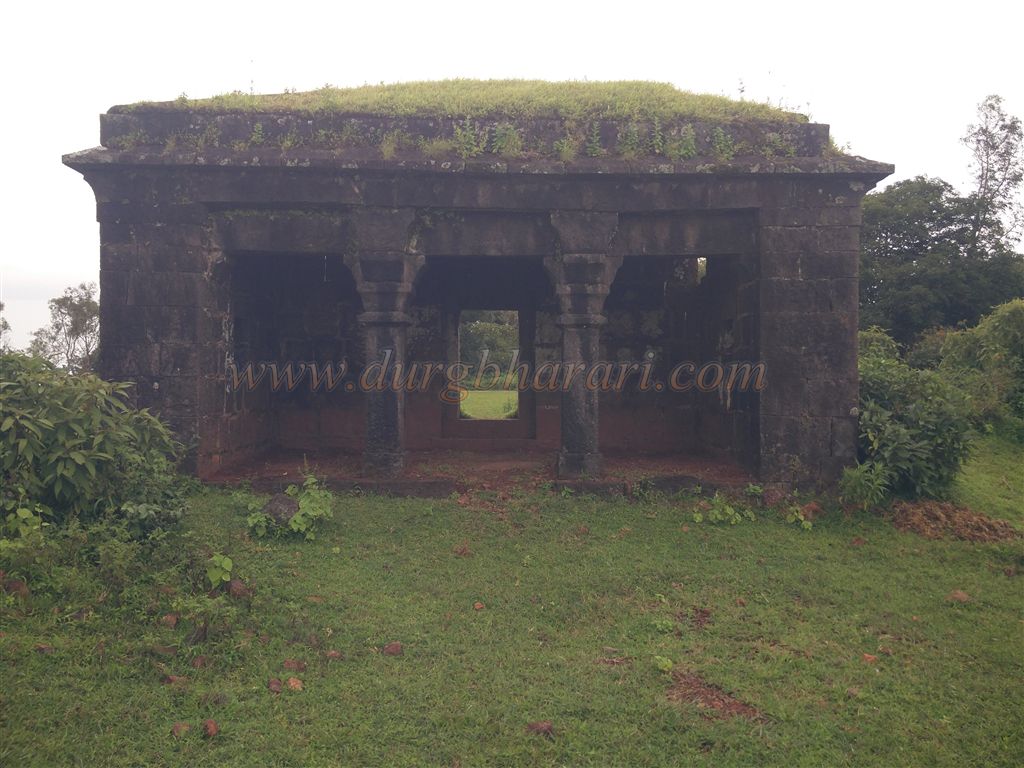
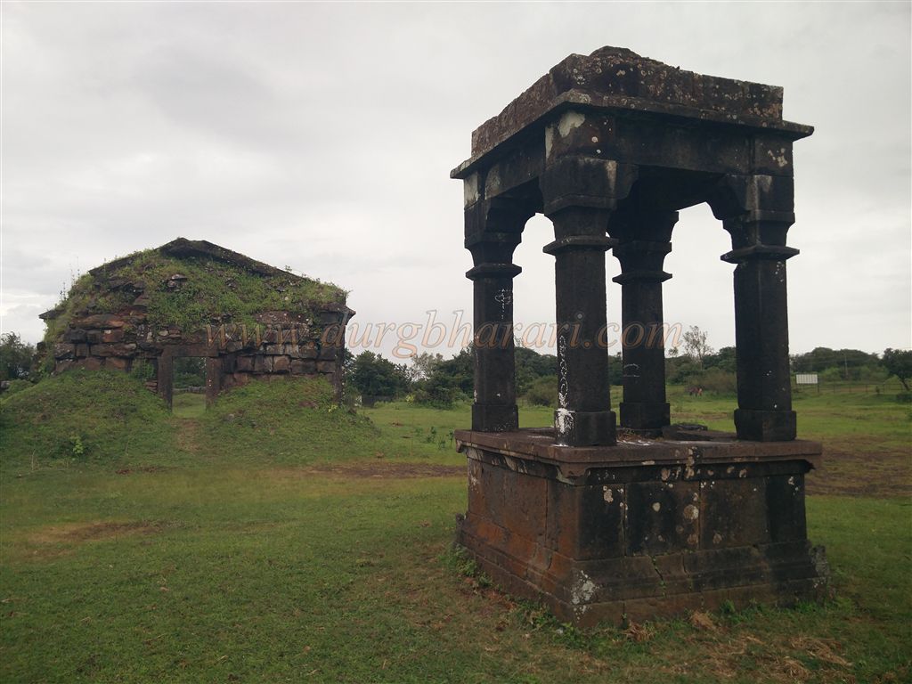
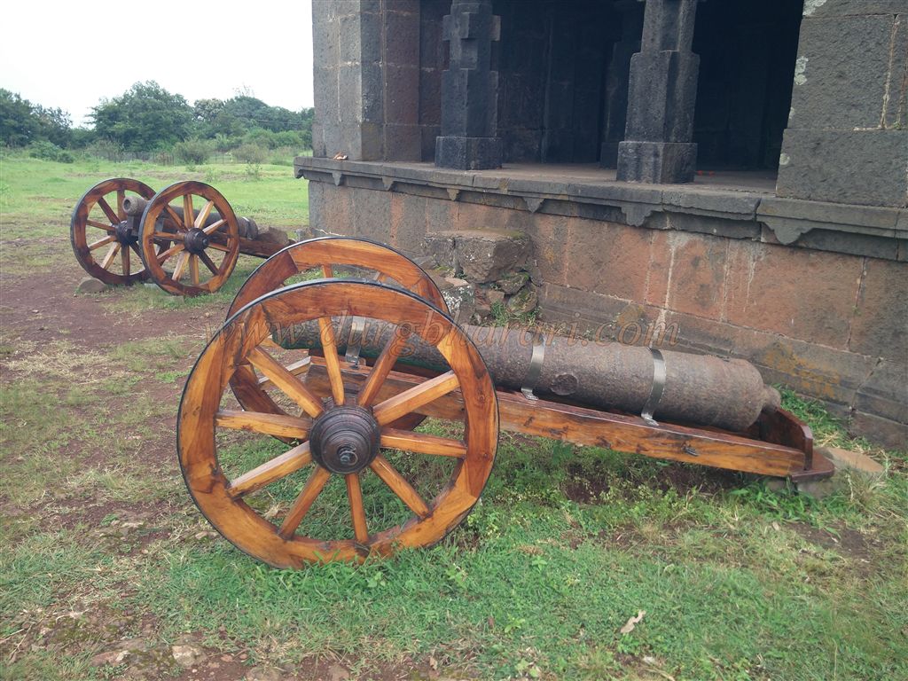
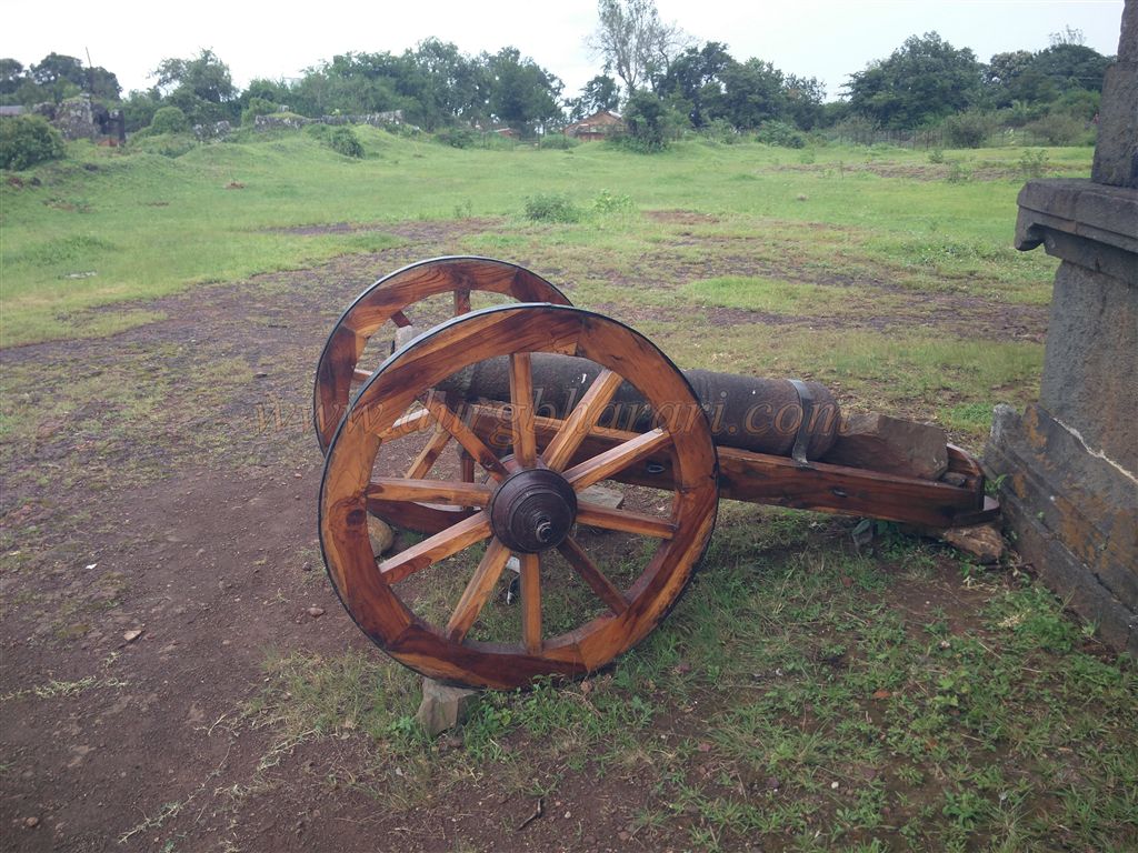
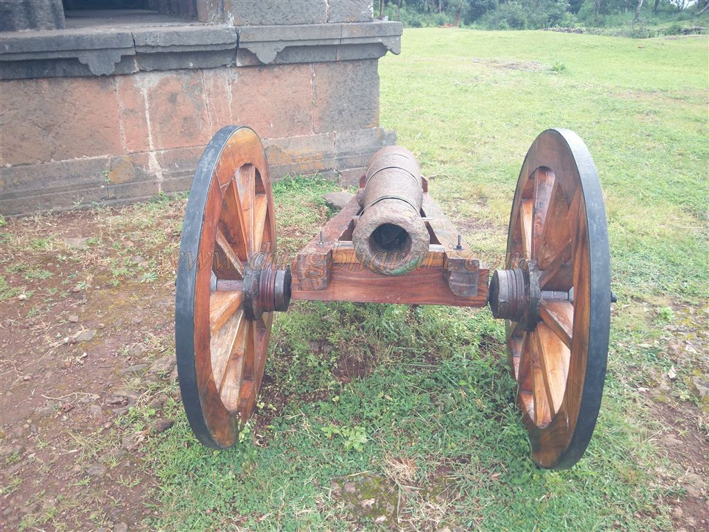
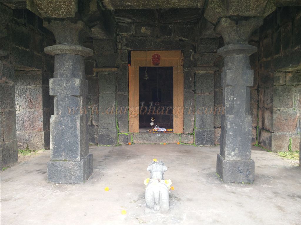
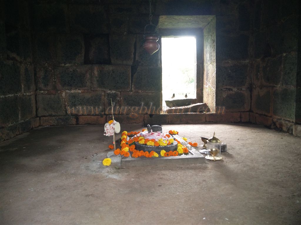
Opposite the well lies a beautifully constructed Shiva temple with a separate Nandi Mandap. The temple faces east and comprises a sanctum and a Sabhamandap. The Shiva Lingam and Nandi inside are more recent additions, and interestingly, Nandi is placed inside the Sabhamandap rather than in its own pavilion. In front of the temple, two medium-sized cannons are mounted on a wooden cart.
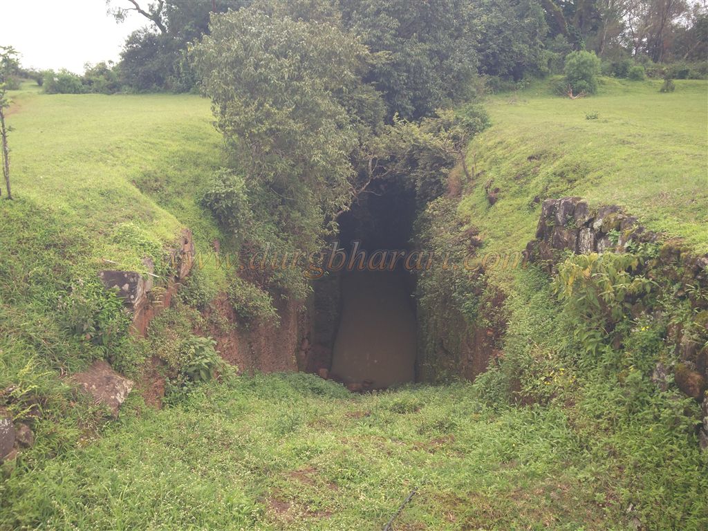
Behind the temple, one finds a shallow square tank carved into the rock, and next to it is another tank with a stone canopy. Locally referred to as the “Ghee Well,” it is believed that this tank was once used to store clarified butter for medicinal use—particularly for treating wounds. However, such covered tanks are found on other forts too, casting some doubt on the story.
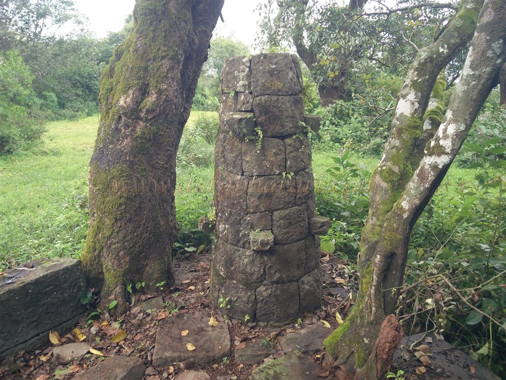
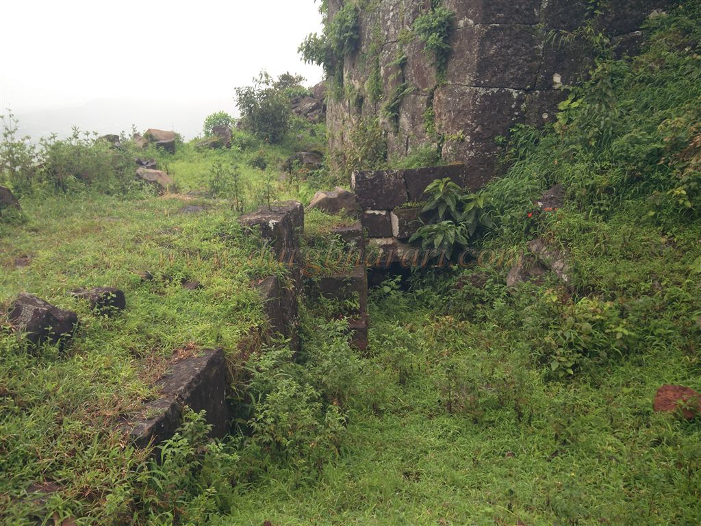
Adjacent to the temple lie the ruins of a palace. Though largely collapsed, remnants of its outer walls hint at its former grandeur. From the left of the temple, a trail leads through the thickets toward the east, eventually arriving at the “Chandra-Surya Bastion,” where a saffron flag flutters in the wind. This square bastion is built slightly detached from the main wall and contains a small chamber with an arched entrance. Carvings of the moon and sun on the stonework give the bastion its name. From this point, one can view the surrounding hills, including Panhala and the distant Jotiba range. Further along lies a smaller bastion, now inaccessible due to thick thorny bushes.
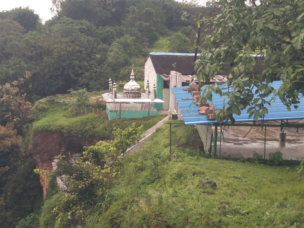
As there’s no continuous path along the ramparts, we return to the temple and proceed through the settlement toward the southern part of the fort, where an old mosque stands. Descending a newly built staircase, we reach a cave tomb, now known as the Dargah of Lagudbandh Fakir. Historically, this site was the cave of sage Markandeya.
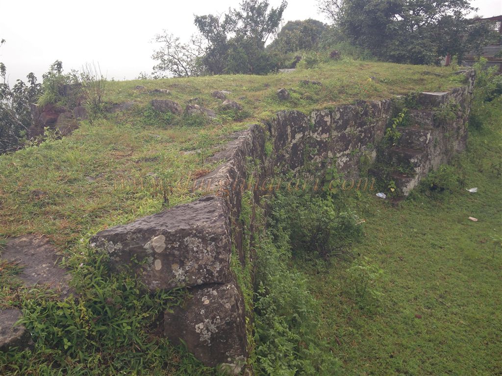
Climbing back up and proceeding past the mosque, one comes across the remnants of the original entrance to the fort. As this portion is rarely visited, having prior knowledge or guidance is essential. Continuing the circuit along the right-hand wall reveals well-preserved sections of the fortification, with stairways leading up to the bastions.
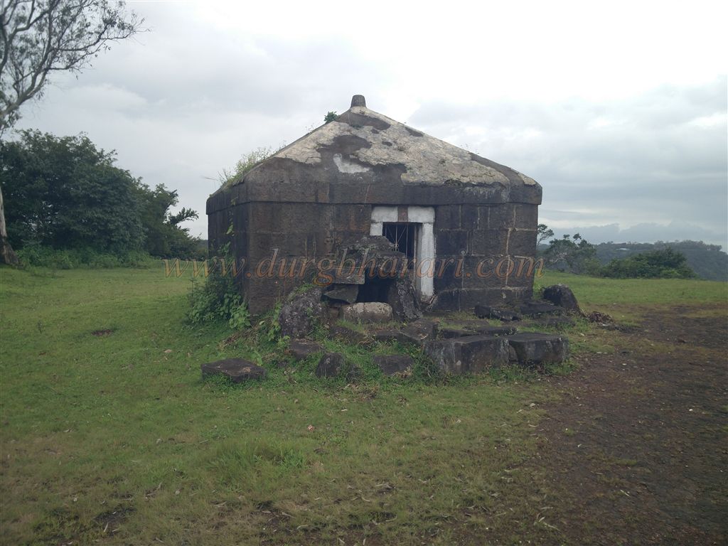
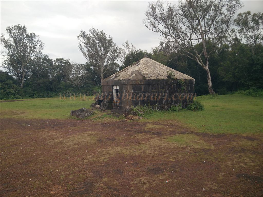
In about five minutes, we reach the “Yashwant Bastion,” a square bastion located at the edge of the fort within the ramparts. It likely once featured double-layered walls. Today, though much of it is ruined, a flagstaff and stone steps leading to the top remain. Saluting the flag atop this bastion marks the completion of our tour.
It is believed that Bhojraja, who built 15 forts, was responsible for the construction of Pawangad. However, records from Queen Tarabai's reign suggest that Chhatrapati Shivaji Maharaj established the fort. During the siege of Panhala by Siddi Johor, cannon fire was launched from the nearby Markandeya Hill. After recapturing Panhala in 1673, Shivaji recognized this vulnerability and fortified Markandeya Hill with bastions and ramparts, creating Pawangad. For their outstanding execution of this task, Arjoji Yadav and Hiroji Farzand were awarded 5,000 hons each by Shivaji Maharaj.
In 1701, during Queen Tarabai’s rule, Aurangzeb launched an assault on Panhala and Pawangad. Prince Bedar Bakht, along with generals Zulfikar Khan, Nusrat Jung, and Tarbiyat Khan, laid siege to both forts. Despite their efforts, including underground tunnels and artillery bombardment, the forts did not fall. Eventually, the commanders negotiated with the Maratha fort keepers, who handed over both forts for a large sum of money on 28 May 1701. Panhala was renamed “Banishaah Durg” and Pawangad became “Rasulgad,” though both returned to Maratha control soon after.
Notable contemporary writers like Khafi Khan, Saki Mustaid Khan (in Maasir-i-Alamgiri), and British envoy Sir William Norris described the Mughal siege. Their records highlight the internal rivalries among Mughal commanders, inefficient logistics, and the failure of siege techniques such as underground passages. Norris wrote scathingly of the corruption in the Mughal army—commanders inflated troop numbers to siphon salaries, and artillerymen lacked skill. The Mughals' heavy cannons, mounted poorly and firing stone rather than iron shot, were ineffective against hill forts.
Eventually, realizing they could not conquer the fort through combat, the Mughals resorted to bribery. Norris also reported that Aurangzeb offered him favours in return for British military support. Although Norris brought 12 bronze cannons, he only allowed six gunners to assist due to safety concerns.
After the British took control of Panhala in 1844 under General Della Motte during the Gadkari uprising, they demolished two of Pawangad gates. Today, Pawangad stands as a testament to Shivaji’s military foresight, Maratha valour, and the resilience of hill forts.
© Suresh Nimbalkar
GALLERY