panhalghar
TYPE : HILL FORT
DISTRICT : RAIGAD
HEIGHT : 620 FEET
GRADE : EASY
There are several geographical reasons why Chhatrapati Shivaji Maharaj chose Raigad as the capital of Swaraj. Raigad was strongly fortified from a military standpoint due to the surrounding chain of forts such as Mangad, Daulatgad, Panhalghar, Songad, Chambhargad, and Lingana. This network of auxiliary forts made it difficult for enemies to directly attack the capital.
Although the exact period of construction of Panhalghar Fort is uncertain, it is recognized as one of Raigad’s supporting forts. After Shivaji's era, this fort faded into obscurity until it was rediscovered in 2006 by Pune-based historian Mr Sachin Joshi.
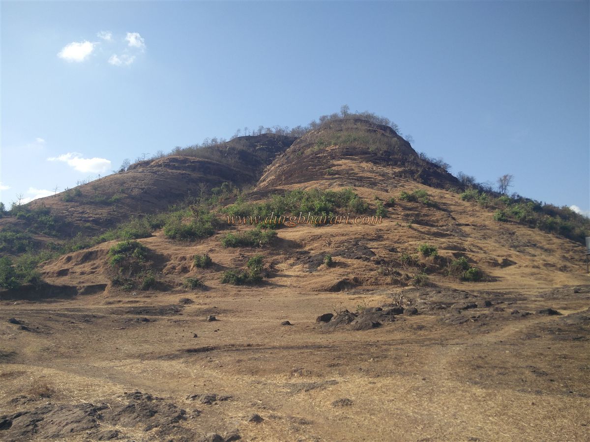
Hidden in the dense ranges of the mighty Sahyadri Mountains, this small fort still maintains its place in history.
...
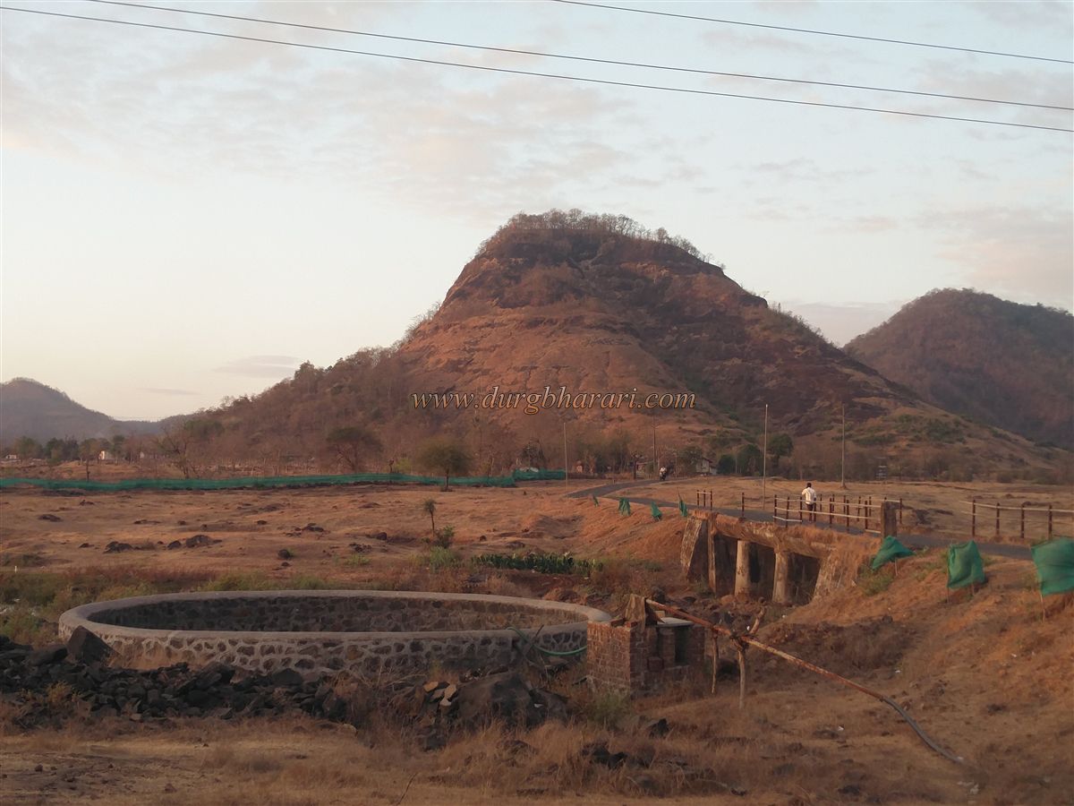
To visit Panhalgad, located in the Mangaon taluka, one must first reach Lonere village on the Mumbai-Goa highway. From Lonere, a road branches off to the left and travels 5 km to the base village of the fort, known as Panhalghar. This village is divided into two parts—Khurd and Budruk. The trekking path to the fort begins from Panhalghar Khurd, a small tribal hamlet.
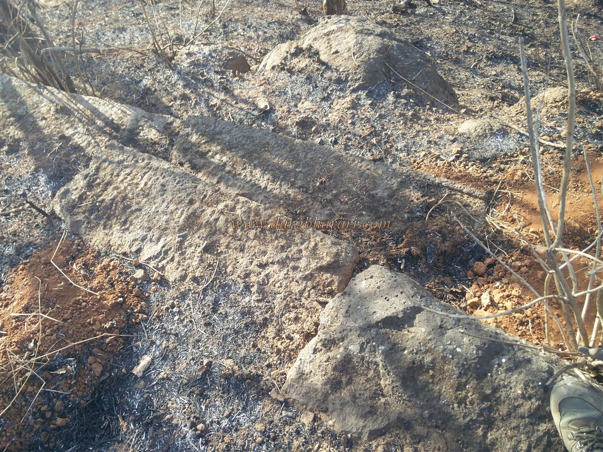
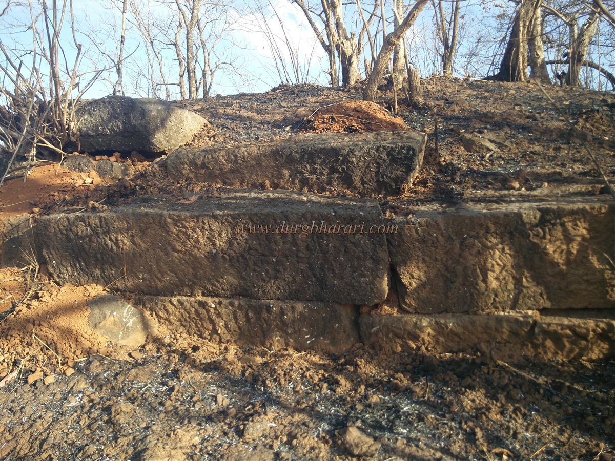
The fort’s hill extends in a north-south direction, with an elevation of 485 feet above sea level. Although the elevation isn’t very high, the ascent is steep. The fort’s original structures such as the fort walls, bastions, and gateway at the base are completely ruined. However, a half-hour climb brings you to a small plateau.
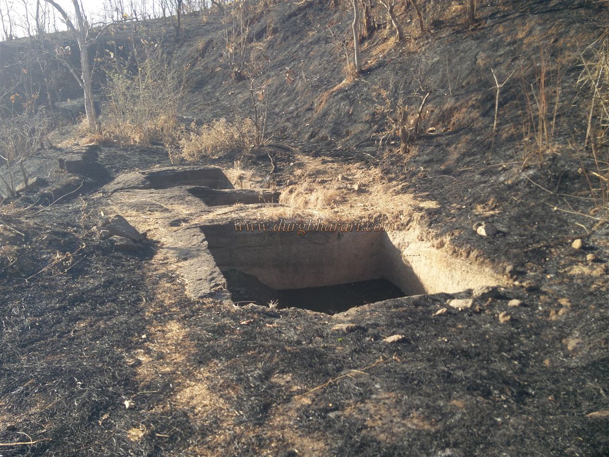
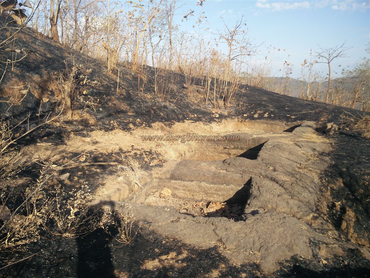
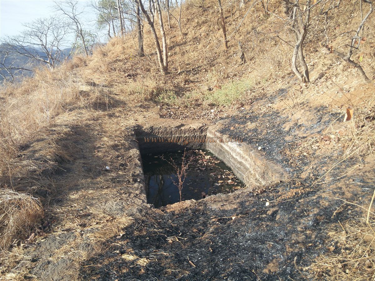
On this plateau, there are three rock-cut water tanks, and a short distance ahead, remnants of fort walls are visible. Near these tanks are small pits believed to have been used for planting bamboo poles. Moving ahead from the tanks, the path splits into two—one leads straight up, while the other curves left and runs parallel to the edge.
Following the left path around the cliff brings you to another buried tank, now filled with soil. From this point, if you look upward, you can see a saffron flag fluttering on a rocky outcrop. After viewing this tank, one must return to the earlier path and proceed toward the flag post.
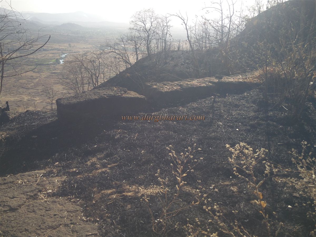
To the right of the flag post, there's another rock-cut water tank, and beside it, one more tank buried under the soil. Altogether, six water tanks can be seen on the fort. The path from the flag post leads to the top of the fort (Gadmatha), where remnants of a structure's foundation and fragments of the fort walls can still be seen.
As you circle the top and move toward the northern edge, you’ll come across the ruins of a bastion. From this bastion, you get a magnificent view of Raigad Fort. A descending path beside the bastion leads you down the fort, completing your exploration.
It takes around two hours for a round trip from the base to the top and back. Judging by its size, the fort likely did not house a large garrison. Its primary role seems to have been surveillance and communication support for Raigad, the capital.
© Suresh Nimbalkar
GALLERY