PANDAVGAD
TYPE : HILL FORT
DISTRICT : RAIGAD
HEIGHT : 590 FEET
GRADE : MEDIUM
Some forts in Maharashtra have faded into obscurity over time, losing their historical identity and presence. Sometimes, just a single reference connecting them to history is all that remains—just a brief reminder of their existence. With no visible remains of fortification on their slopes or summits, these forts are often overlooked by even the most passionate fort enthusiasts.
One such hill fort, located within shouting distance of Mumbai, has completely vanished from public memory. The Pandavkada Waterfall in Kharghar, a popular monsoon destination for Navi Mumbai residents, gets its name from a nearby fort—Pandavgad. However, since there are no fort-like remains on the site, very few people know of its historical significance.
...
Apart from a single line in a letter from the Peshwa Dafter (records) mentioning Pandavgad near Belapur, there is no other recorded reference to this fort. Thus, its history begins and ends with that lone sentence.
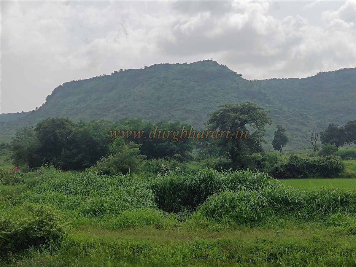
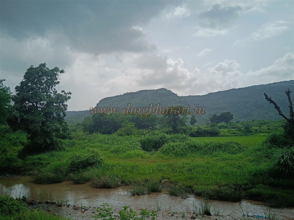
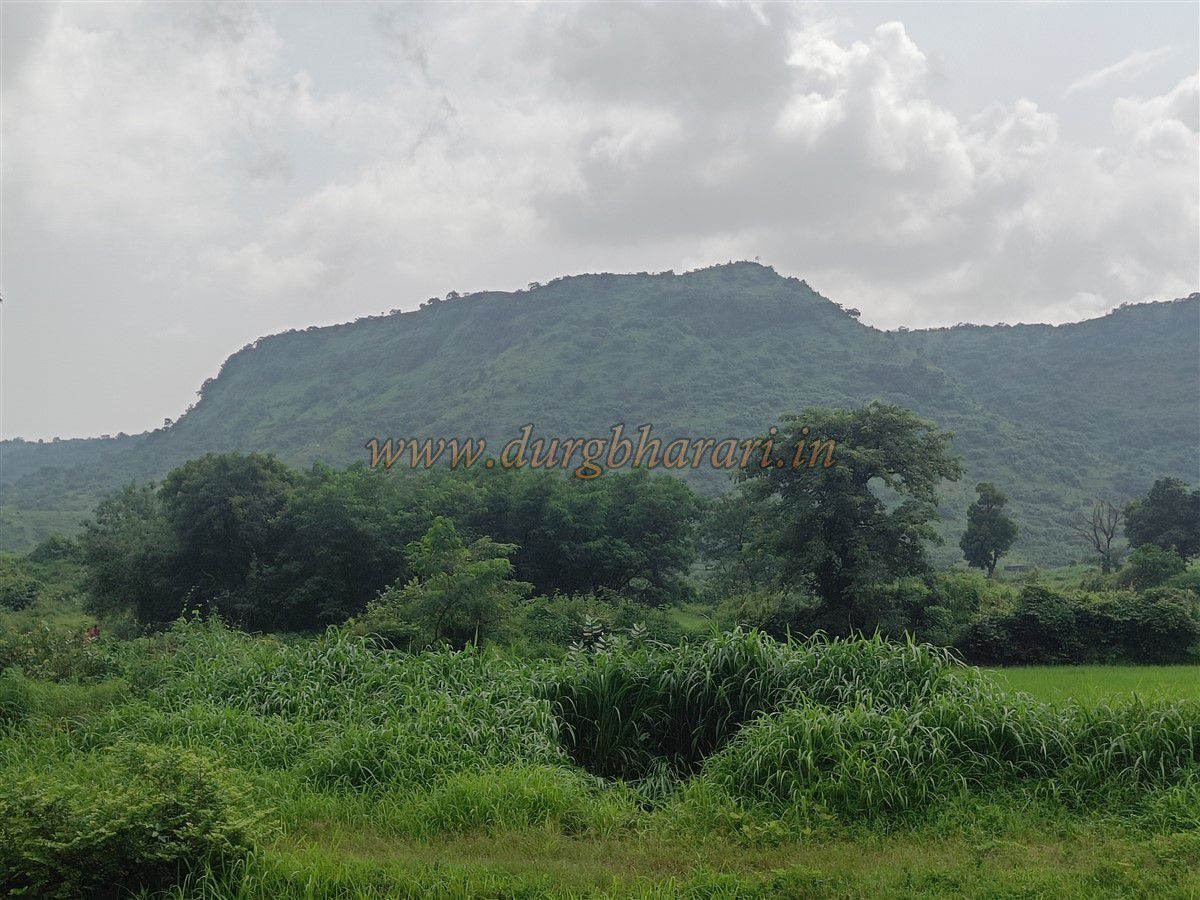
The location of Pandavgad is the broad hill situated directly opposite the Pandavkada waterfall. On Google Maps, this spot is now labelled as “Best Viewpoint of Pandavkada Waterfall.”
To visit Pandavkada, first take the Harbour Line train to Kharghar Railway Station in Navi Mumbai. From there, hire a rickshaw to reach Dhamole village, which is around 4.5 km away. From Dhamole, a rough footpath leads toward Pandavkada.
After about 15 minutes of walking, you reach the base of the hill from where the waterfall originates, along with a nearby ridgeline. One well-used trail continues straight to the waterfall, while another faint, less-trodden trail leads to the adjacent descending spur of the hill, which is the actual route to the fort.
Since no one frequently visits the fort, the trail is not well-defined, so you’ll have to rely on your judgment to make your way to the summit. The climb from Dhamole village to the top of the hill takes approximately one hour.
Once on the summit, apart from a few scattered stones that may have once been part of a fort wall, there are no significant remains. This raises the question-why call it a fort at all? However, when you take in the panoramic view from the top, it becomes quite clear why this spot may have once been a fort. From Pandavgad, you can see Chanderi, Malanggad, Prabalgad, Irshalgad, Manikgad, and Karnala, along with the Belapur creek stretching all the way to the sea. This vantage point confirms the strategic importance of the location.
Due to several accidents during monsoon season, monsoon trekking in the Pandavkada region is prohibited, so this hike is best attempted during summer. Also, during the monsoon, the grass overgrowth hides the only visible platform on the summit, making it hard to spot.
A round-trip trek from Dhamole village to Pandavgad and back takes approximately 3 hours. As there is no water source on the way or at the top, be sure to carry sufficient water for the trek.
© Suresh Nimbalkar
GALLERY