PALASDURG
TYPE : HILL FORT
DISTRICT : THANE
HEIGHT : 2450 FEET
GRADE : MEDIUM
Mahuli Fort, located in Shahapur taluka near Mumbai and Thane, is a popular destination for a one-day trek. The term "popular" is fitting, as the fort regularly attracts amateur trekkers and nature lovers. Nestled in the Sahyadri ranges, Mahuli is part of a fort trinity comprising Mahuli, Bhandargad, and Palasgad. Though separated by natural passes, these three forts are structurally and geographically interconnected: Mahuli lies in the centre, with Palasgad to the north and Bhandargad to the south. Each of the forts has its own entrance and separate paths to ascend.
Among them, Mahuli is the largest and serves as the gateway to the other two forts. With proper planning, one can camp at the base village the previous night, begin the trek early in the morning, visit all three forts, and return by evening. Since all three forts are individual entities, they are described separately
...
Most visitors explore only the Maha Darwaja (main gate) of Mahuli and its nearby structures. Very few reach Bhandargad, and even fewer make the effort to visit Palasgad.
This write-up is dedicated to Palasgad, a lesser-known and unexplored part of the fort complex. To reach Palasgad from Mumbai or Thane, one must travel via the Thane-Nashik highway and take a turn at Asangaon to reach Mahuli village, which lies at the base of the fort. The distance is approximately 77 km from Mumbai and 55 km from Thane. Accommodation is available at the local tourist rest house and in the temples dedicated to Lord Ganesha and Lord Shiva in the village.
At the base of the fort, three old temples can be found: one dedicated to Ganesha, one to Shiva, and the third to the village deity. The temple complex contains scattered carved stone relics, and a medieval-era water tank is also present nearby. Facing the Shiva temple, a path on the right behind the temple leads to the Ganesha temple, where drinking water is available at a nearby hand pump. Inside the temple compound is a stone dome and a broken hero stone (virgal).
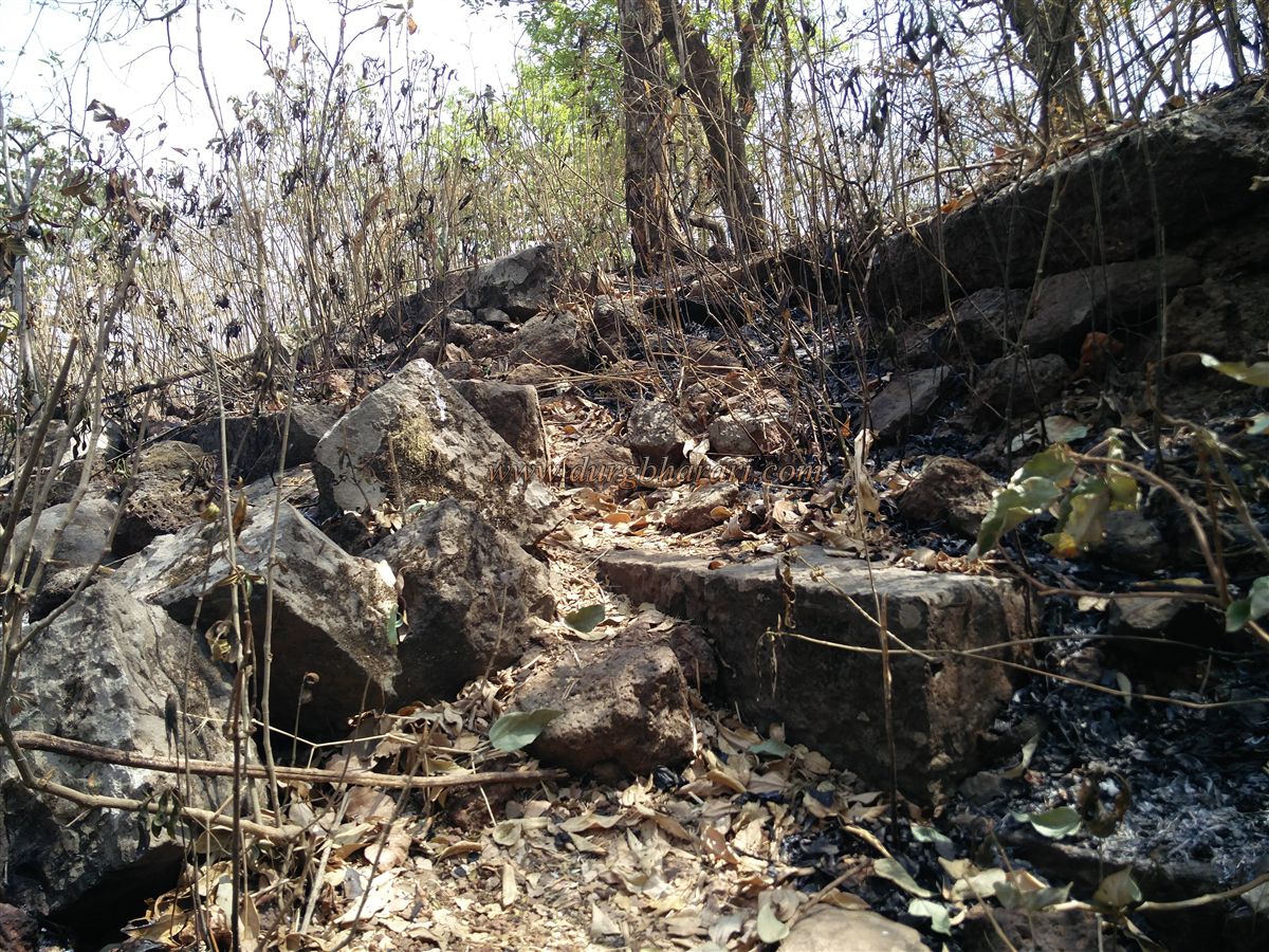
Walking further, one passes through a newly built gateway leading to the Forest Department’s tourism centre, where an entry fee of ₹20 per person is charged. The trail to the fort passes through this centre. Despite being frequently used, the trail is steep and passes through sparse forest terrain. After crossing a hill and stream, one arrives at a small plateau containing ruins of old structures, likely remains of offices and mansions from the Peshwa era.
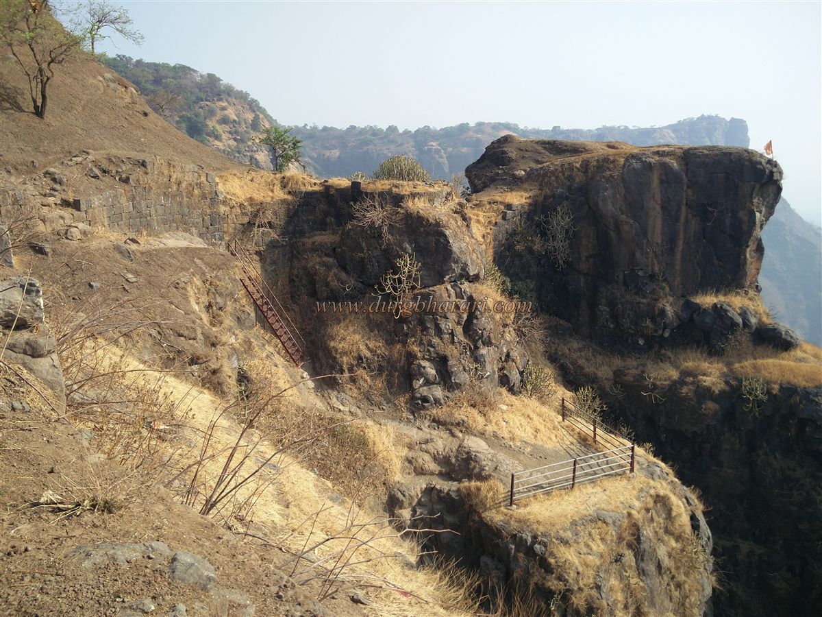
After some simple rock climbs, it takes about two hours to reach the base of Mahuli’s cliff, where a segment of the fortification wall still exists. A 15–20-foot tall iron ladder has been installed to help climb this section. Once atop, one enters Mahuli Fort. Several access routes exist: via Maha Darwaja, Hanuman Darwaja, Kalyan Darwaja, Vandre Khind, and the pass between Mahuli and Palasgad. Though the current route is not the official path, it is the most commonly used one today.
Since the objective here is Palasgad, only brief mentions are made of Mahuli’s structures. After passing the fort wall, a path leads straight to the Maha Darwaja of Mahuli and further toward Palasgad. The first landmark on this trail is a rock-cut water cistern, though the water is not potable. After walking for five minutes, a fork in the path appears: the straight path leads to Namazgir/Idgah on Mahuli, and the right path leads to the Maha Darwaja.
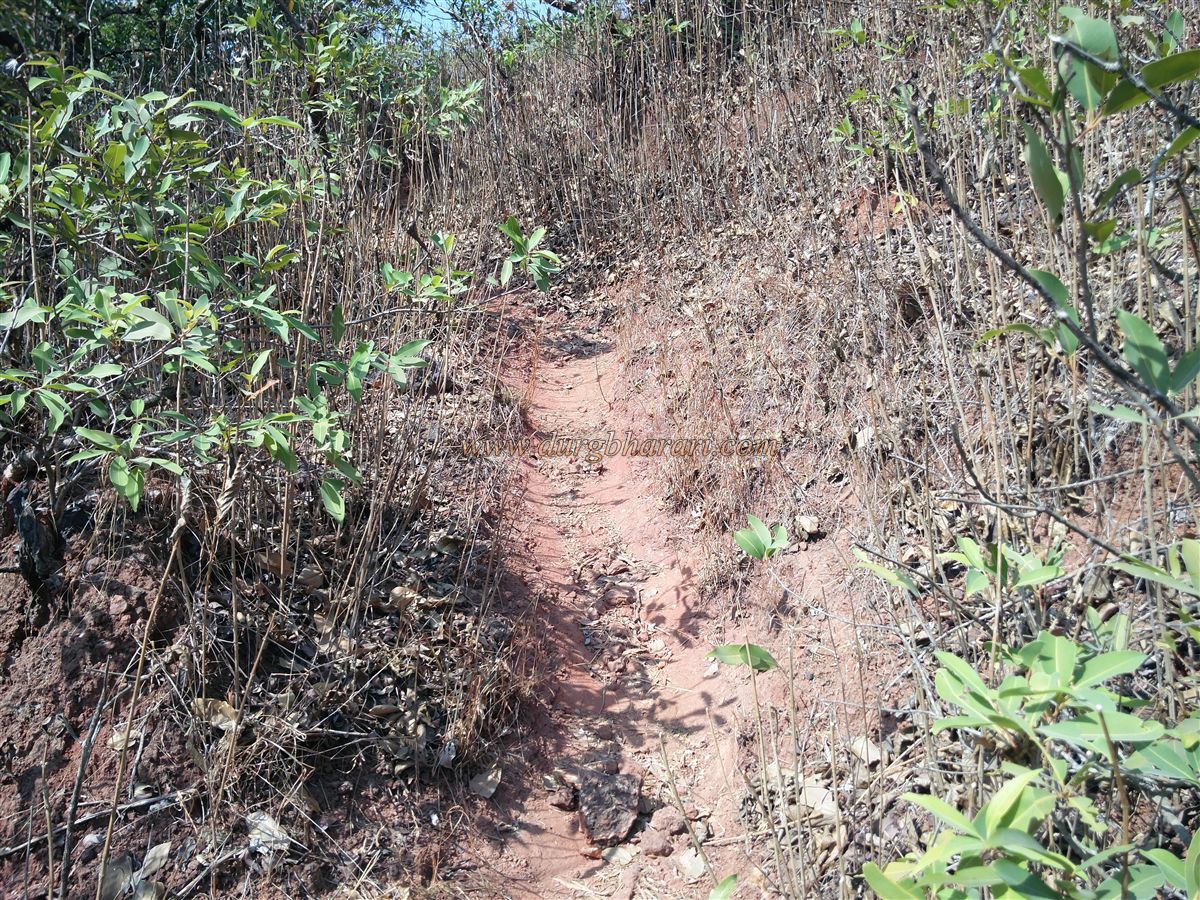
Mahuli’s main gate is carved into the rock at the mouth of a narrow pass and is protected by bastions on both sides. Even the guard chambers are carved into the rock. The original path from Machi village to this gate has been lost over time. A cistern with drinking water lies near the gate — important, as Palasgad has no water source. A trail on the right of the Maha Darwaja leads northward toward Palasgad, passing through dense karvi shrubs.
After about 10 minutes, a structure’s foundation is visible on the right — believed to be the Killdeer’s (fort commander’s) residence. Further ahead, another fork appears: the straight path leads to the northern end of Mahuli, while the right path descends toward Palasgad. This route passes through a ruined gate in Mahuli’s outer wall and descends into the valley separating Mahuli and Palasgad. A path from Khor village, west of Palasgad, also meets this valley trail. Since the trail forks here, care must be taken not to inadvertently follow the Khor path and descend the fort.
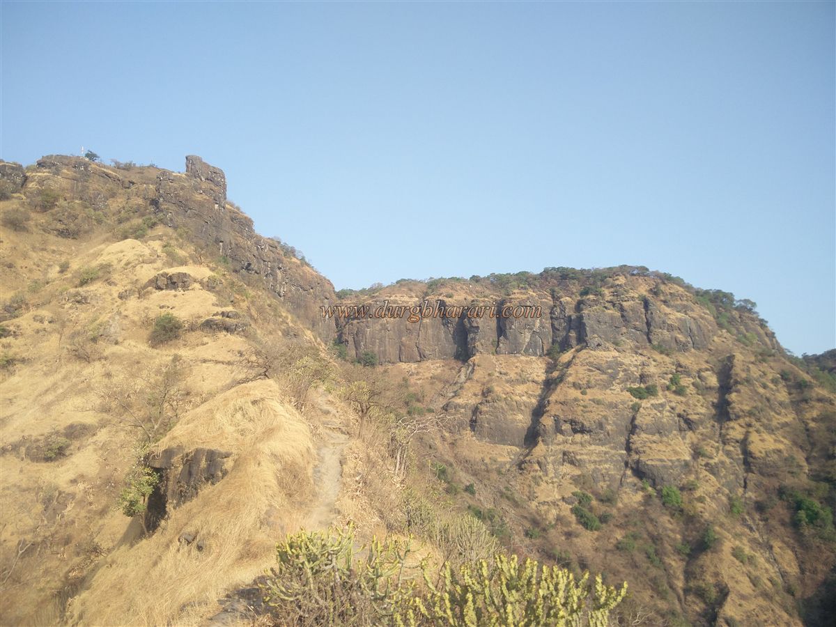
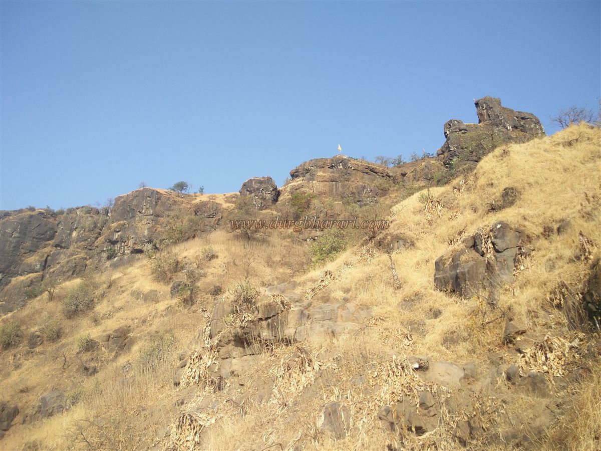
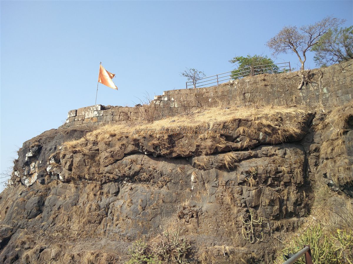
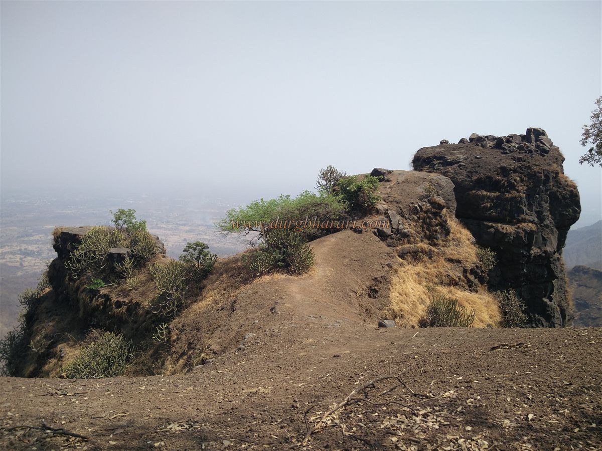
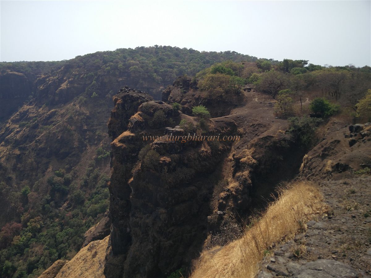
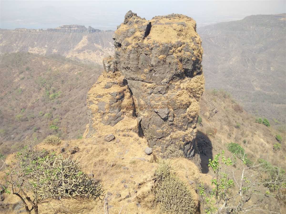
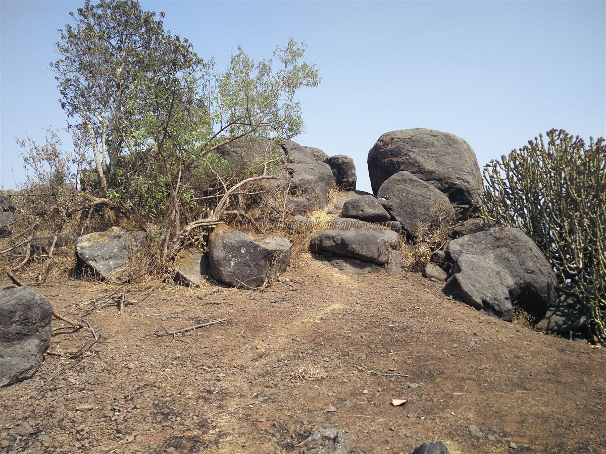
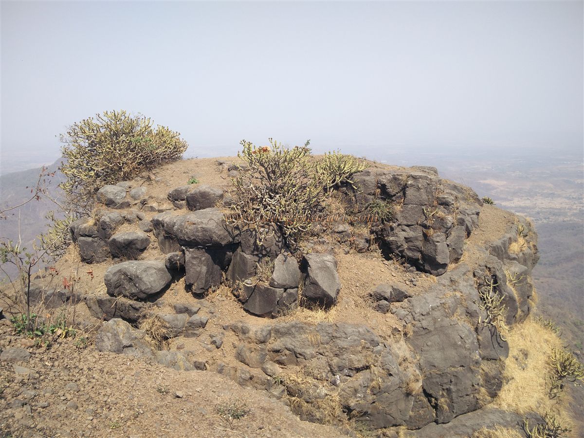
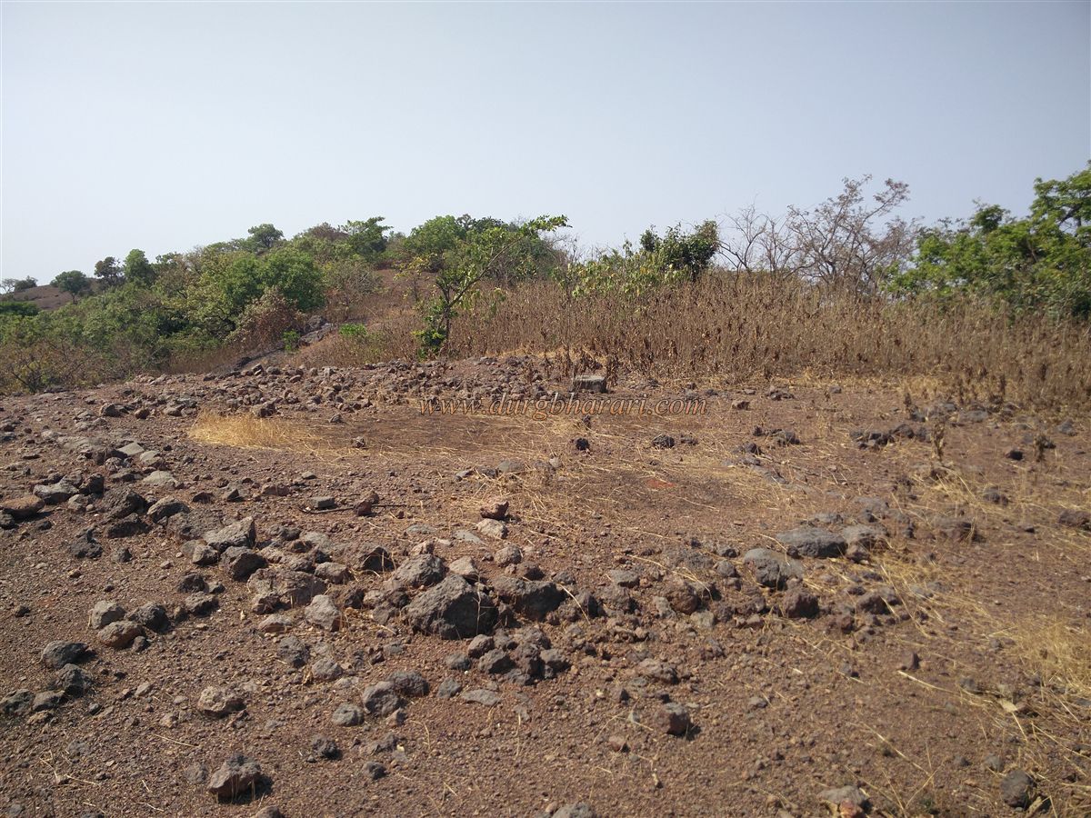
Palasgad is surrounded on all sides by natural cliffs, and apart from a small segment of wall on the north side, no fortifications are visible. After navigating through the dense bamboo forest in the valley, one ascends to Palsgad’s plateau. The gateway and wall here are entirely ruined. The summit consists of three narrow plateaus, detached from Mahuli. At 2410 feet above sea level, the fort spans 9 acres east to west. The summit is overgrown with karvi shrubs, concealing many ruins. Scattered remains of old houses are visible, but no significant standing structures. A set of carved steps is seen in one spot, but no water tanks are found.
From Palasgad, one can see Alang, Madan, Kulang, the Kalsubai range, the Tansa Lake, Tungareshwar, and Gumtara Fort to the north, and Harishchandragad and Ajoba to the east, with the Matheran range visible to the south. Exploring the fort takes about 1.5 hours. Judging by its design and structure, Palasgad likely served as a watchtower and protective outpost for Mahuli.
Though the builder of the fort is unknown, it likely came under the control of Malik Ahmad, founder of the Nizamshahi dynasty, around 1485, after the fall of the Bahamani Sultanate. Strategically located near the Kalyan Subha, it linked important regions such as Nashik, Surat, Junnar, and Ahmednagar. Mahuli became important due to its connectivity through Javhar to Surat and via Murbad–Naneghat to Junnar and Ahmednagar.
Palsgad’s history is closely tied to that of Mahuli. Around 1635–36, when Shahaji Raje tried to save the declining Nizamshahi, he took refuge at Mahuli. Mughal general Khan Zaman laid siege, and Shahaji sought help from the Portuguese, who refused — forcing Shahaji to surrender. Later, on 8 January 1658, Shivaji Maharaj seized the fort from the Mughals.
During the Treaty of Purandar (1665), 23 forts were handed over to the Mughals. Shivaji cleverly declared the fort trio of Mahuli, Bhandargad, and Palasgad as three separate forts, thus reducing the count. Mughal officer Manohardas Gaud was appointed fort commander and carried out several construction works. In February 1670, Shivaji personally attacked Mahuli to reclaim it, but 1,000 of his 1,500 Mavals were slain due to Gaud’s strong defence. Eventually, fearing the Marathas, Gaud abandoned the fort and was replaced by Allavardin Beg.
On 16 June 1670, after a two-month siege, Moropant Pingle recaptured Mahuli, Palasgad, and Bhandargad, integrating them into Swaraj. After Chhatrapati Sambhaji’s death, the fort commander Dwarakoji betrayed the Marathas and surrendered the fort to the Mughals. As direct assault was difficult, the Marathas later used espionage to reclaim the fort in 1735. Finally, Peshwa Bajirao II handed over Mahuli to the British in June 1818 after a peace treaty.
© Suresh Nimbalkar
GALLERY