PADMANABHDURG
TYPE : HILL FORT
DISTRICT : RATNAGIRI
HEIGHT : 320 FEET
GRADE : EASY
On the eastern side of Konkan, in the Sahyadri mountain range, there are several mountain passes leading down to the Konkan region, and many forts are situated along these routes. Some of these forts date back to the era of Chhatrapati Shivaji Maharaj, while others are even older. In Ratnagiri district’s Dapoli taluka, the village of Panhale Kazi is well-known for its rock-cut caves, but the ancient fort known by various names such as Padmanabha Durg, Panhala Durg, and Pranalak Durg, located in the same village, remains relatively unknown.
The village of Panhale Kazi enjoys both historical significance due to the fort and cultural heritage due to the caves. Nestled along the Kotjai River, this picturesque village is surrounded by lush greenery.
...
At least a full day is required to explore the entire area. The village is about 30 km from both Khed and Dapoli. From Khed, one can reach the cave complex at the base of the fort hill via Wakawali–Phansu. From Dapoli–Dabhol, one can reach directly near the fort through Terewayangani–Gavhane and arrive at the Zholai Temple. The village is located 18 km from the main road via both routes, but the road is in poor condition.
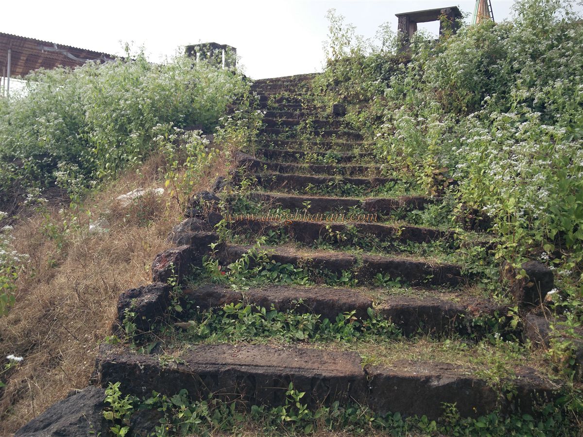
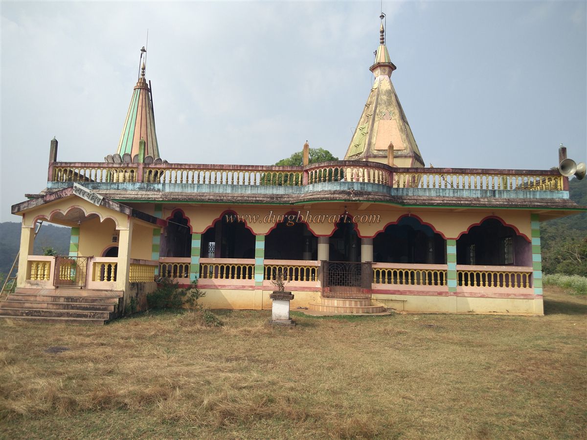
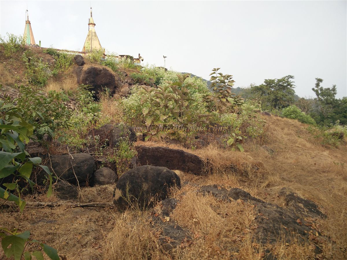
If one has a private vehicle, it is possible to drive right up to the Zholai Temple hill, near the fort. The Zholai Temple hill and the fort hill are of nearly the same height and are separated by a small pass. The Zholai Temple has been newly constructed, but in its premises, remnants of the ancient temple can be seen. Some ornately carved stones from the original structure were used while building the 15–20 steps leading up to the temple.
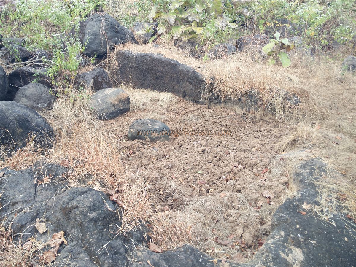
The hill directly in front of the temple is Pranalak Durg. While descending from the temple into the pass, three ancient water tanks partially filled with soil can be seen—likely, stones from these were used in temple construction. These tanks often go unnoticed as people head excitedly toward the fort.
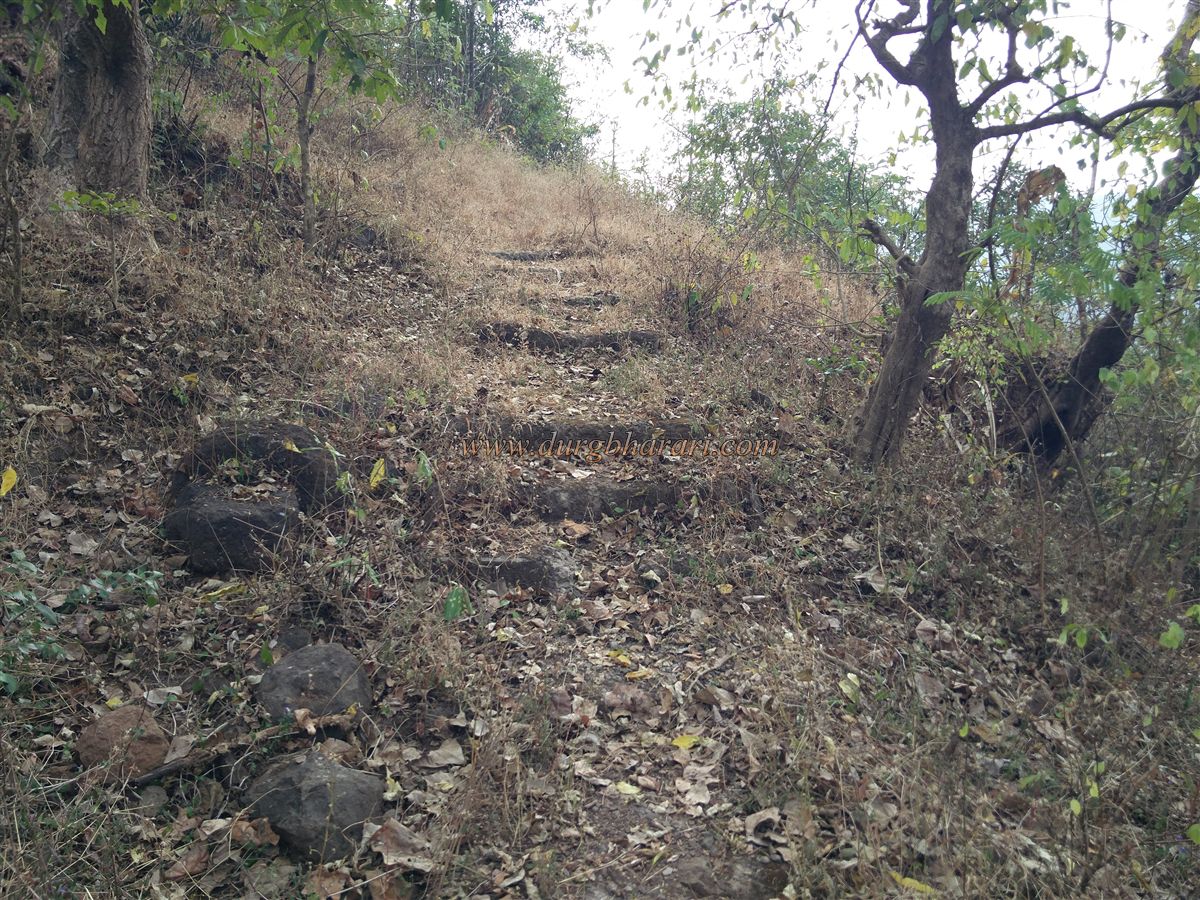
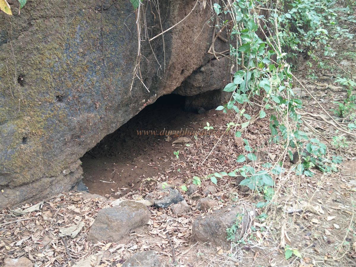
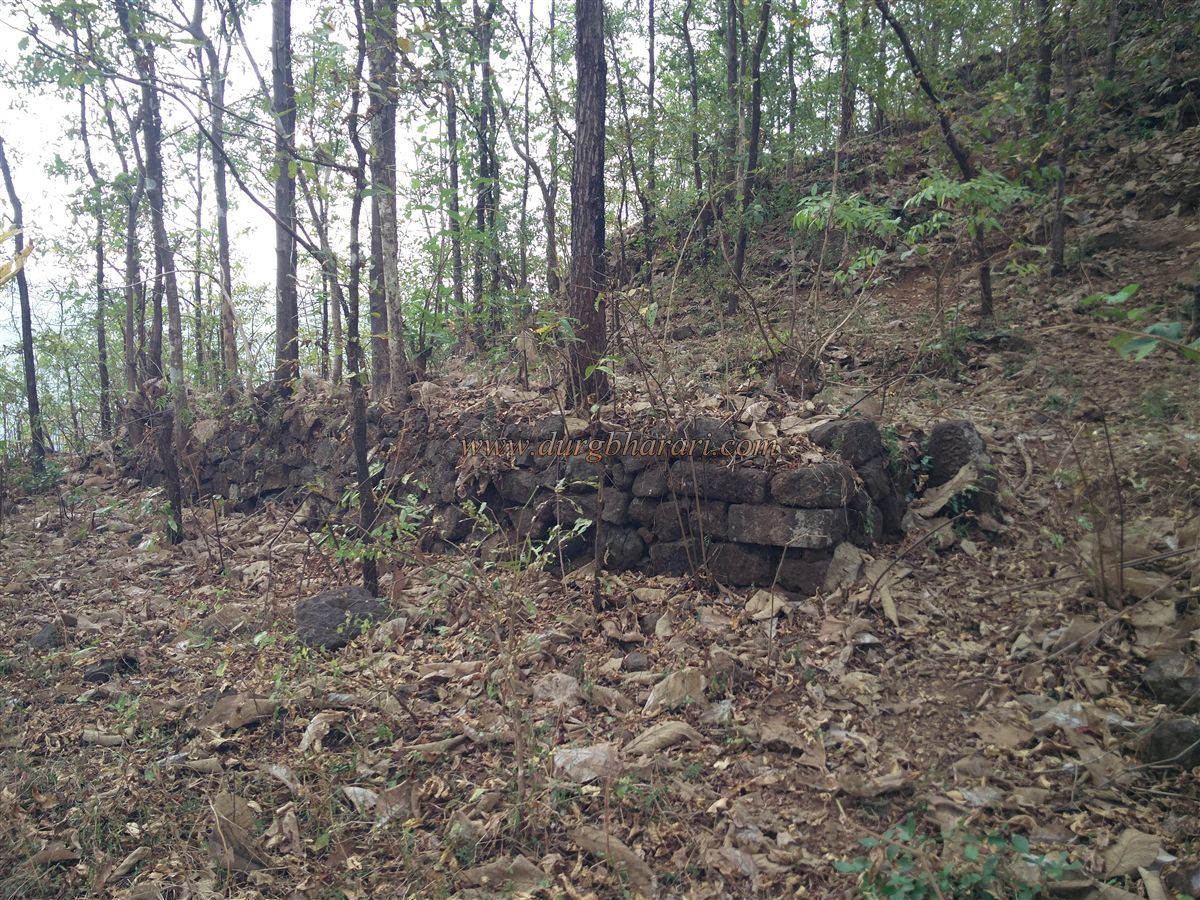
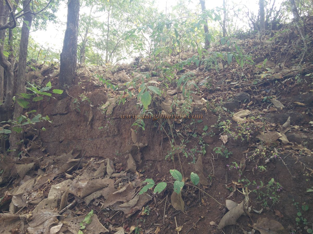
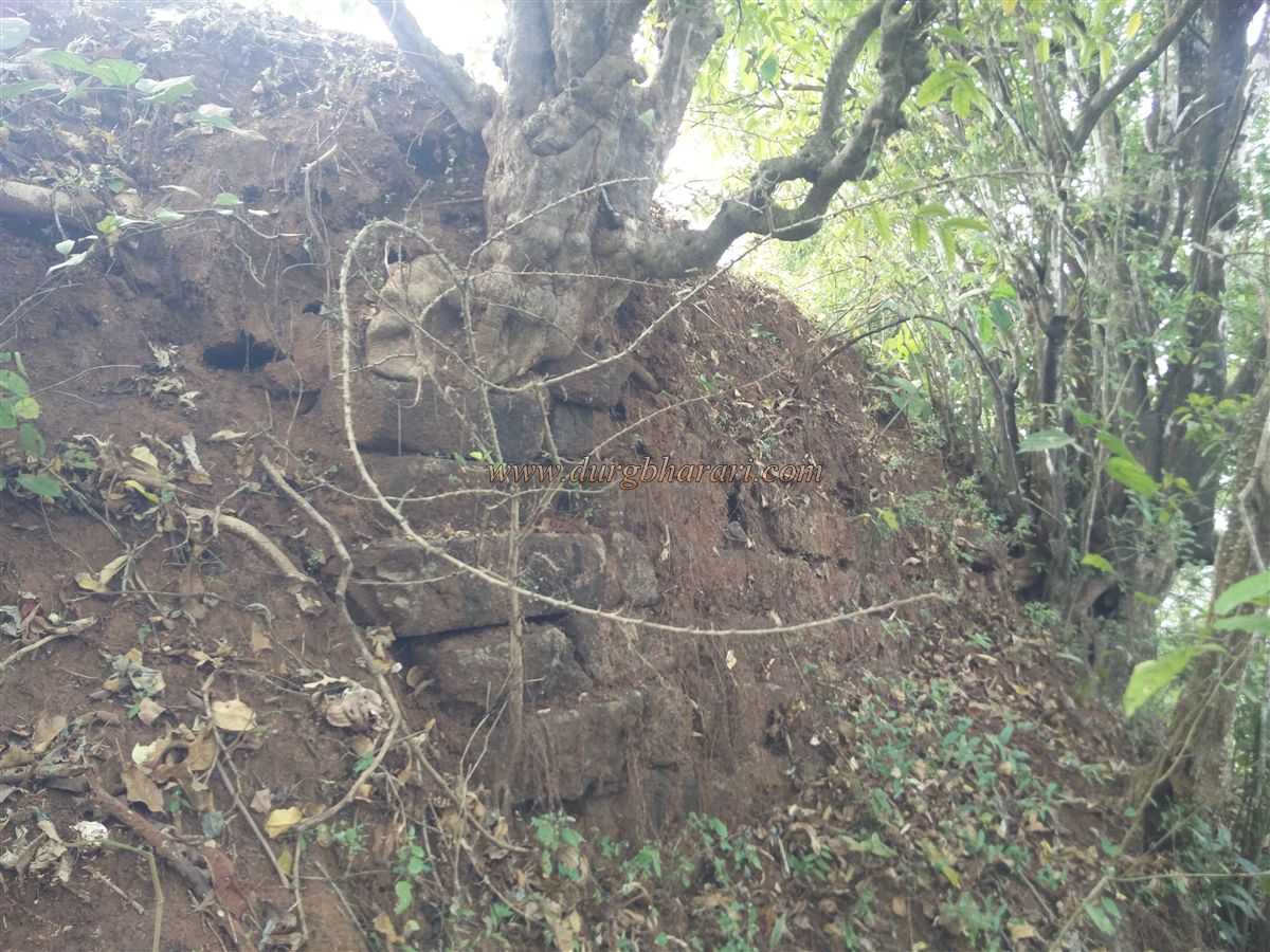
In the pass, cement steps built on both sides help to cross. This was once an old path between the two nearby villages, but with the construction of a tar road, it's now rarely used. Once in the pass, one can begin ascending toward the fort either by making a steep five-minute climb straight up or by taking the well-trodden path along the right side of the hill. As you walk this second path, you’ll spot a partially ruined fort wall. After about ten minutes, a side trail from the village leads right up the hill. Here, remnants of stone structures are visible, and to the right, there's a large rock-cut cistern with four carved pillars—though it is now heavily silted.
To the left of this tank is a broken staircase leading up to the fort's top via the crumbling fort wall. On the way up, the wall is seen to be built in two tiers. It takes about 15 minutes to reach from Zholai Temple.
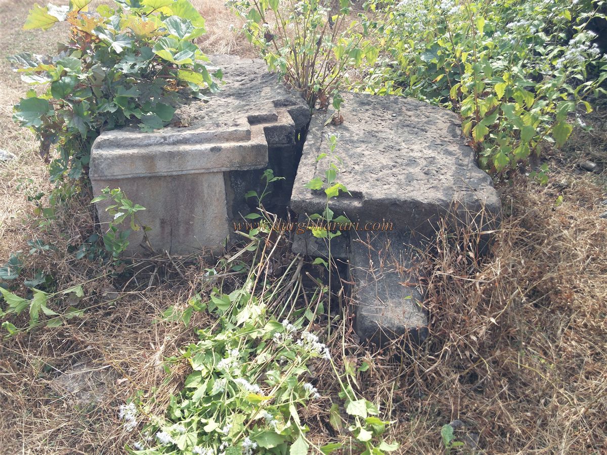
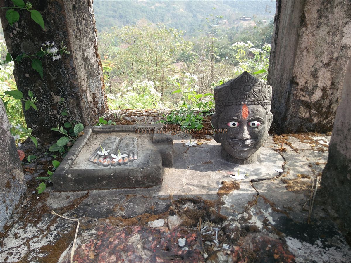
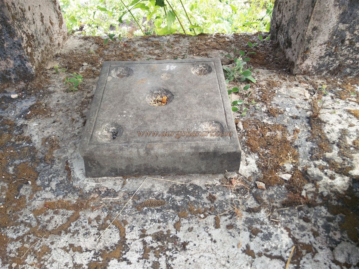
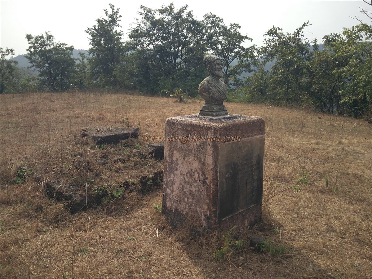
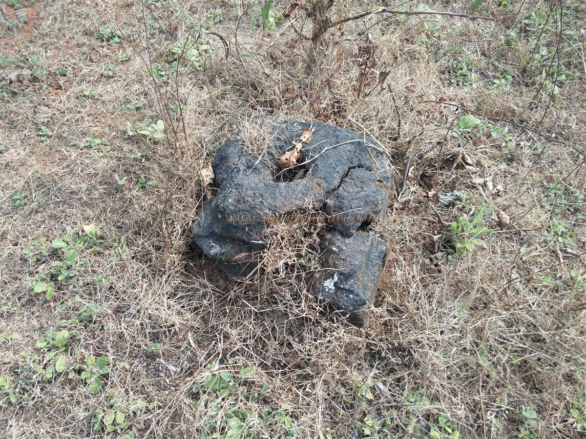
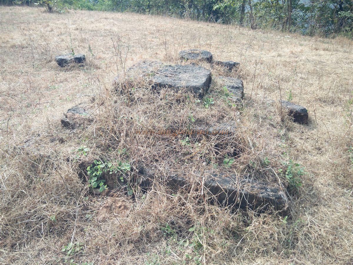
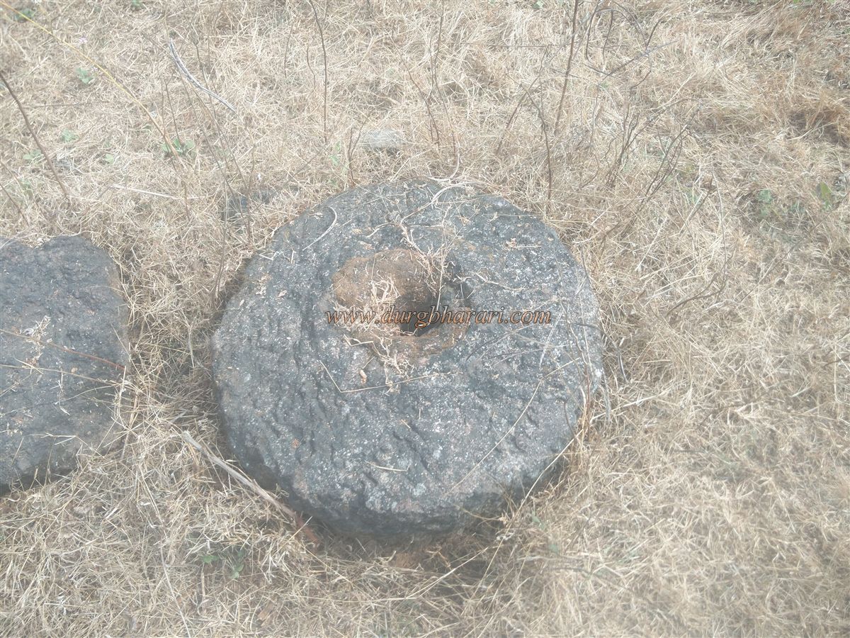
The fort is situated at 270 feet above sea level and stretches about two acres from south to north. Farming was once practiced on the hilltop, which destroyed many original remnants. In 1994, villagers installed a cement platform with a bust of Shivaji Maharaj, next to which the remaining artefacts from the fort have been placed. Behind the statue is a stone platform, and around it, one can see a stone grinding wheel, a carved slab four feet long, and other decorative stones. Scattered remnants of house foundations, burnt bricks, and pottery shards can also be seen. The fort's main gate location is not clearly identifiable due to the dilapidated state of the fortifications. A complete walk around the fort takes about half an hour.
Returning down the same path or via the route in front of the statue into the pass and back toward the Zholai Temple completes the visit. After viewing the fort, one should definitely visit the cave complex along the banks of the Kotjai River.
The nearby town of Dabhol—associated with the sage Dalabhya—is an ancient port in Konkan. The fort of Dabhol still exists today and is located near the Chandika Temple on a hill close to Dabhol creek. Up to the medieval period, goods arriving at the Dabhol port were transported inland via various routes. Although Dabhol was under Adilshahi rule and trade extended to Bijapur, the fort’s structure and nearby cave complexes suggest that the Pranalak Durg predates this period.
Shilahara king Aparaditya (1127–1148) defeated the second Jamkesh and appointed his son Vikramaditya as ruler of southern Konkan, establishing his capital at Pranal. He likely built this fort in the 12th century. There are no mentions of this fort during Shivaji's reign or afterward, suggesting that it was abandoned in later periods.
© Suresh Nimbalkar
GALLERY