PAARDI
TYPE : HILL FORT
DISTRICT : VAPI
HEIGHT : 90 FEET
GRADE : EASY
In the town of Killa Pardi, located in the border region between Maharashtra and Gujarat, there is a fort named Pardi. Although the town derives its name from this fort, which once held importance, the fort itself—situated on a small hillock in the central part of the town—is largely unknown to many locals. It is believed that the fort was constructed to keep watch over the Par River, which flows past the village of Pardi.
Once a part of the Maratha Empire, this region was later included in Gujarat due to linguistic state reorganization and other administrative reasons. Since it once belonged to the Swaraj, I am including this fort under the category of forts in Maharashtra.
...
Though Killa Pardi has a railway station, trains stop here irregularly, making it more convenient to travel from Valsad or Vapi. Located on the Mumbai-Ahmedabad Highway, Killa Pardi is about 13 km from Valsad and 17 km from Vapi. Shared rickshaws are available from both places to reach Pardi.
Behind the town’s post office, the fort stands atop a roughly 100-foot high hillock covered with vegetation. Since the fort is not well known among the locals, it is advisable to ask for directions to the post office rather than the fort. A 10-minute walk from the highway brings you to the base of the fort.
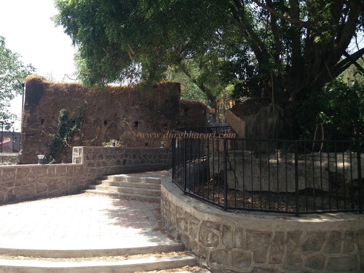
The fort is roughly rectangular, spread over an area of about 2.5 acres along a north-south axis. It has two entry gates, one on the north and one on the south. Approaching from the post office side, you enter through the northern gate. At the beginning of the steps leading up the fort, there is a half-sized statue of Chhatrapati Shivaji Maharaj.
While beautifying the fort, many changes have been made. In front of the original gate, a new cement arch has been constructed, obscuring the original gate behind it. To the left of this entrance stands a large octagonal bastion, which contains a 12-foot-high circular pillar built from finely carved stone. The bastion features embrasures for cannons and loopholes for firing guns.
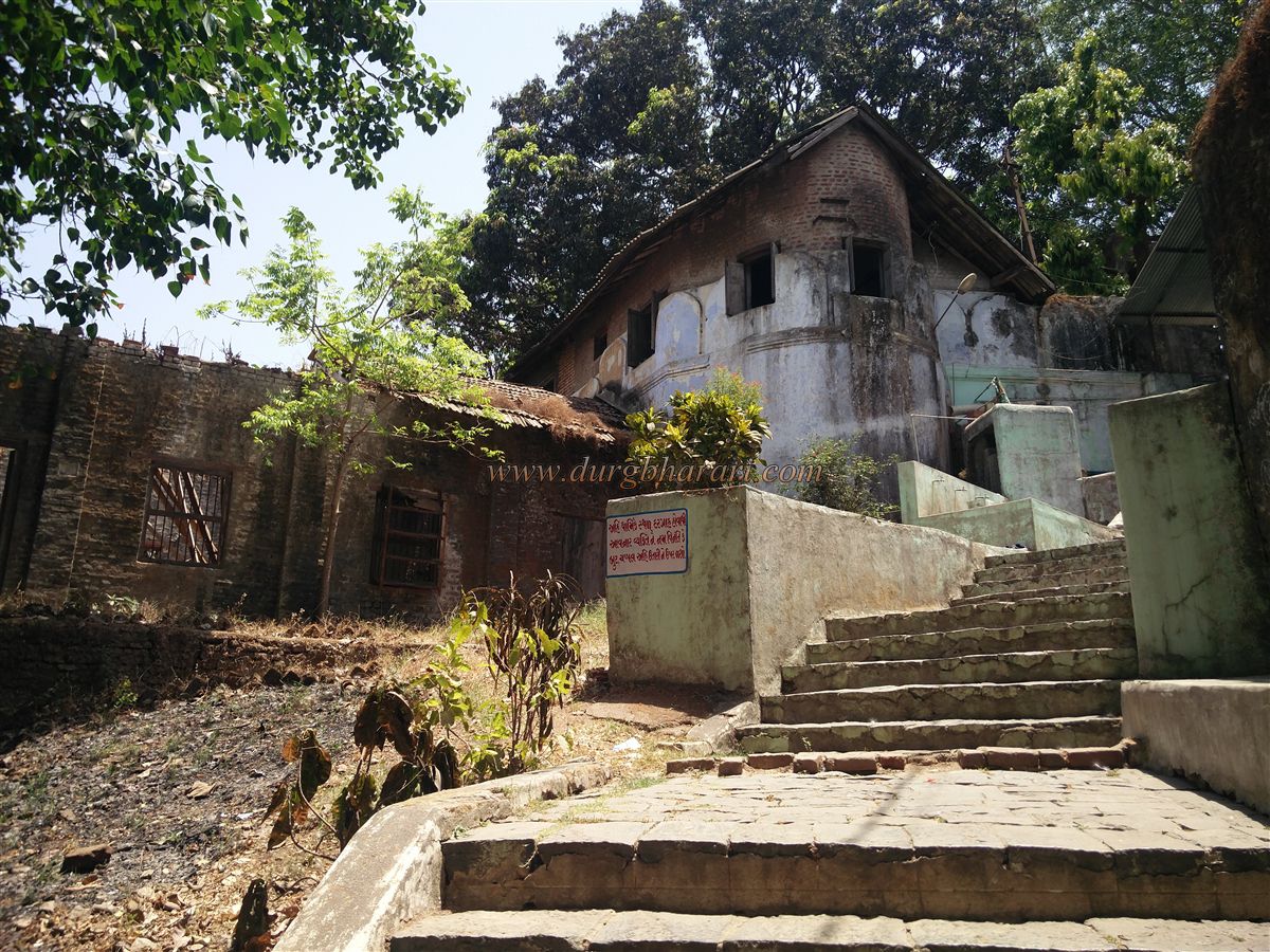
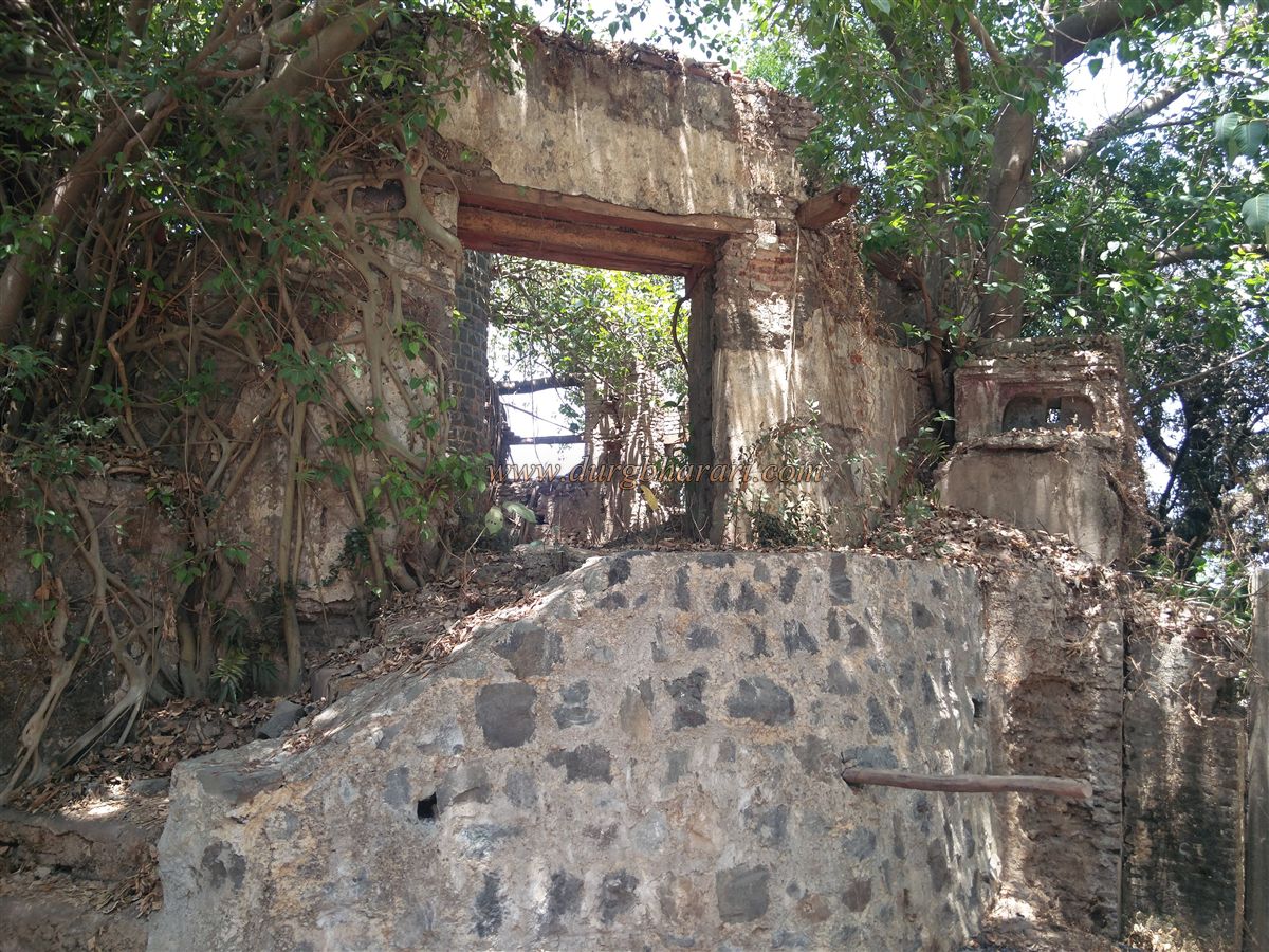
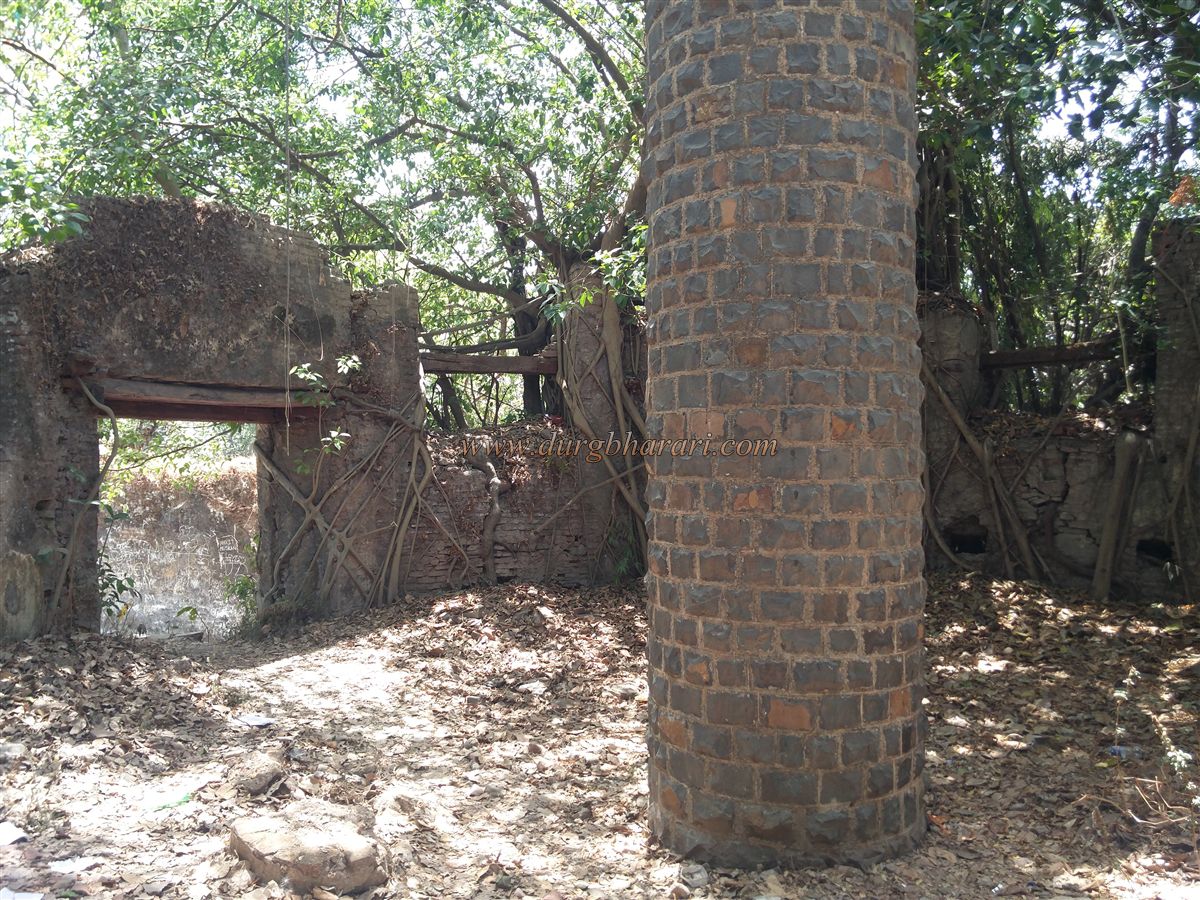
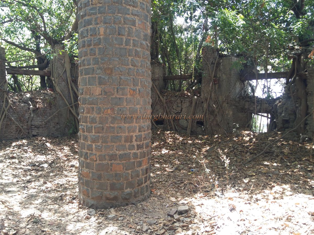
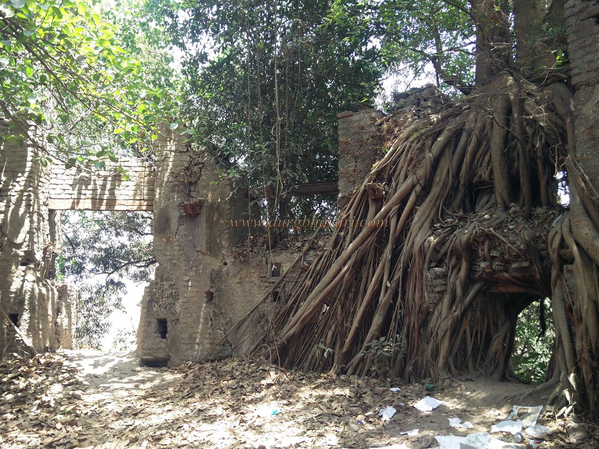
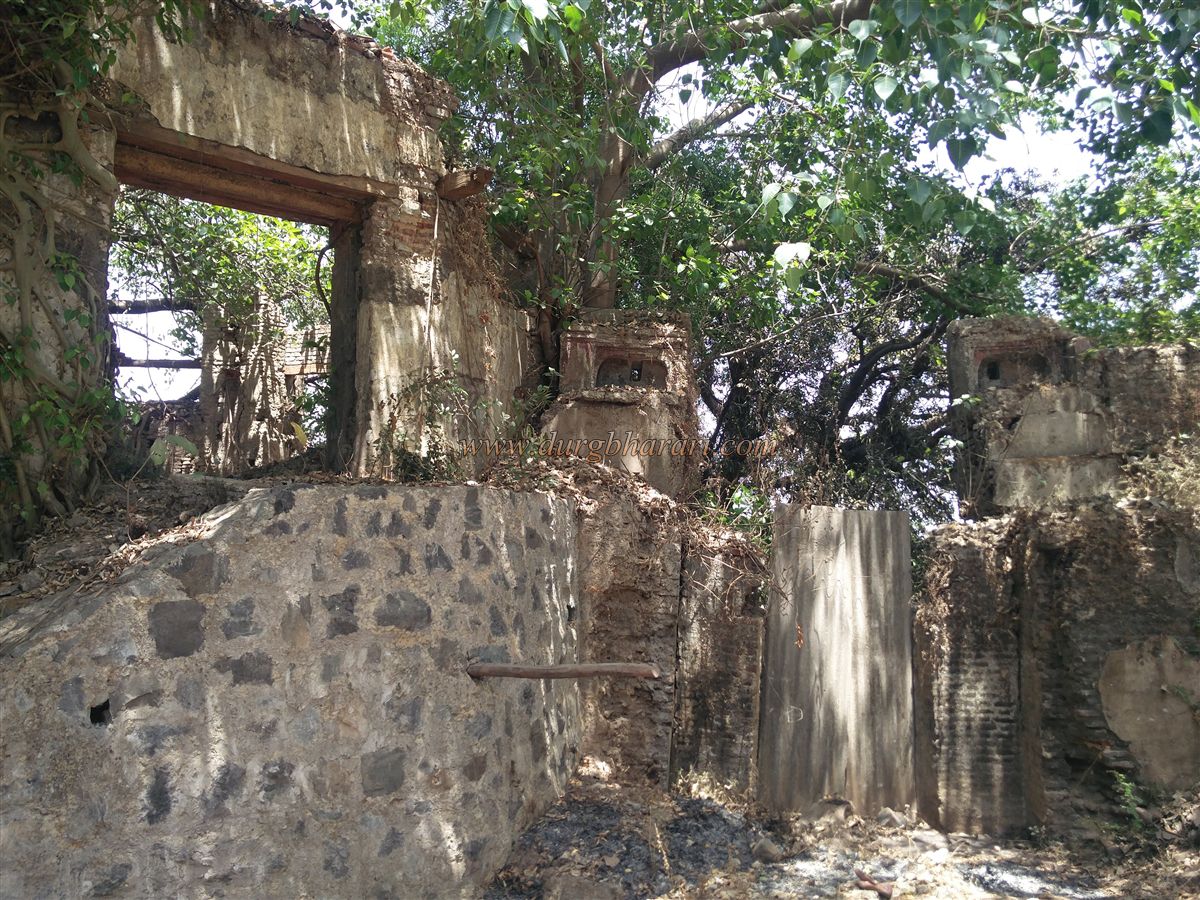
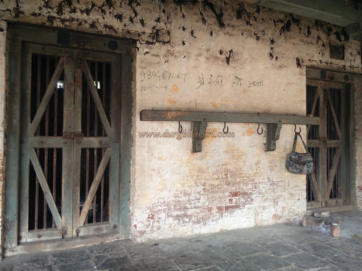
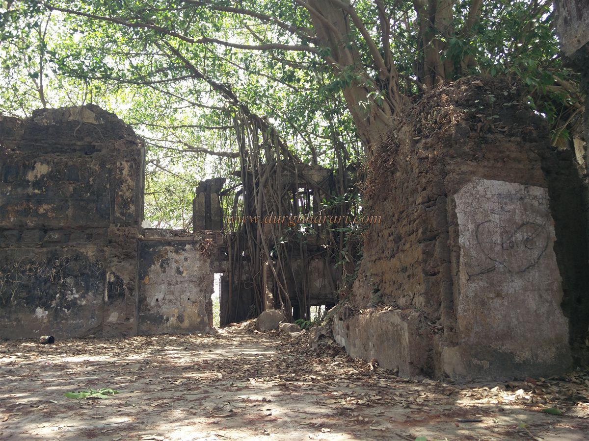
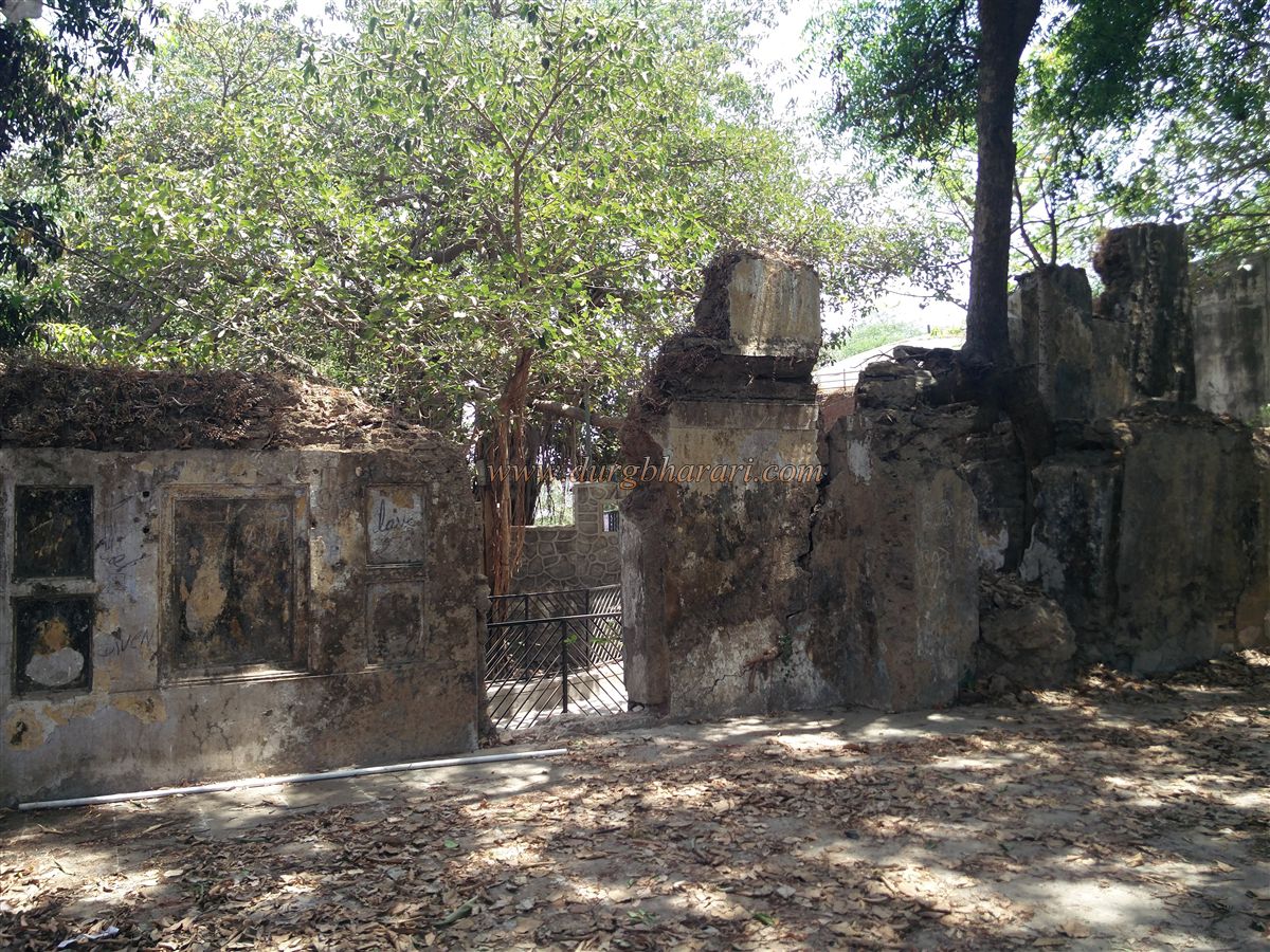
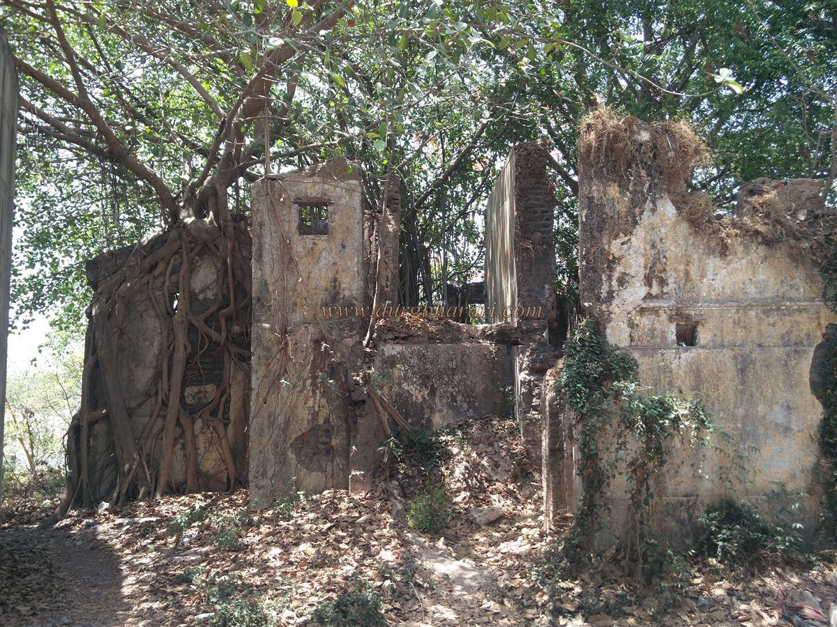
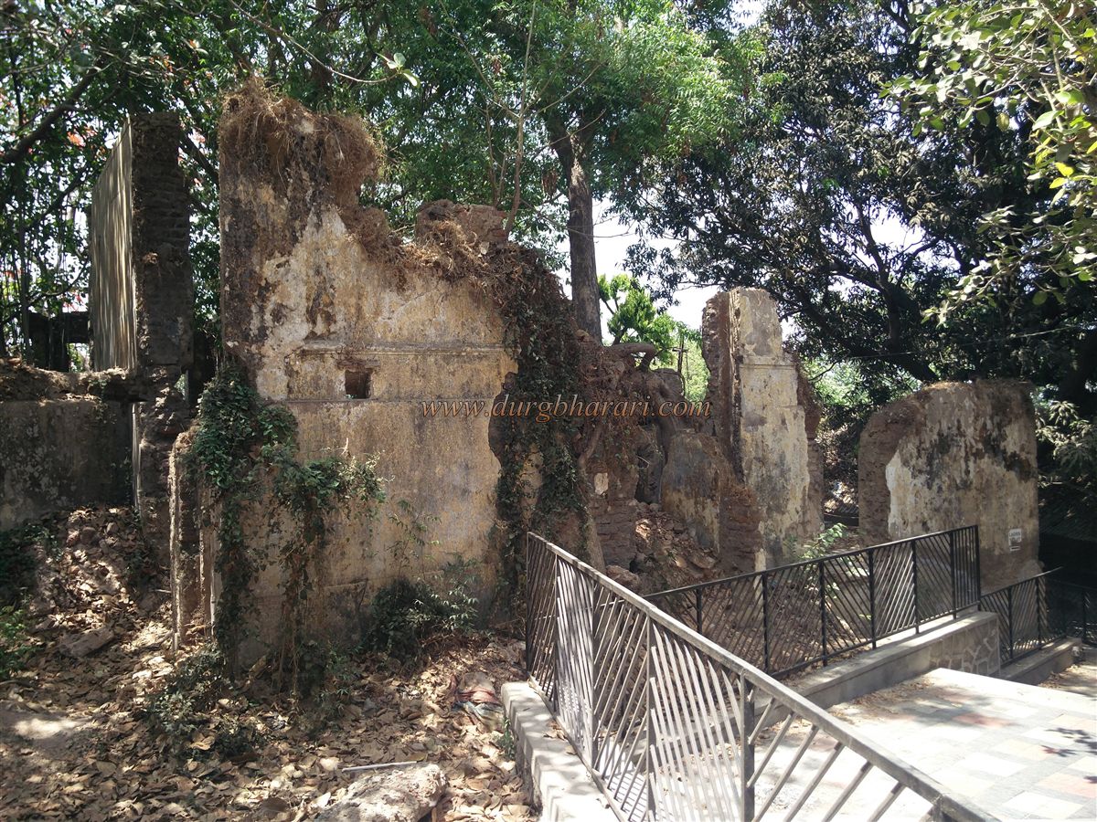
After climbing the steps and passing the bastion, on the left side near the rampart lies a tomb, while on the right, there are chambers built into another bastion and along the ramparts. These chambers were constructed during the British era when the fort was used as a prison. Opposite these chambers lie the remains of a few double-storied buildings, now overgrown with trees. The ramparts behind these structures have loopholes built for gunfire.
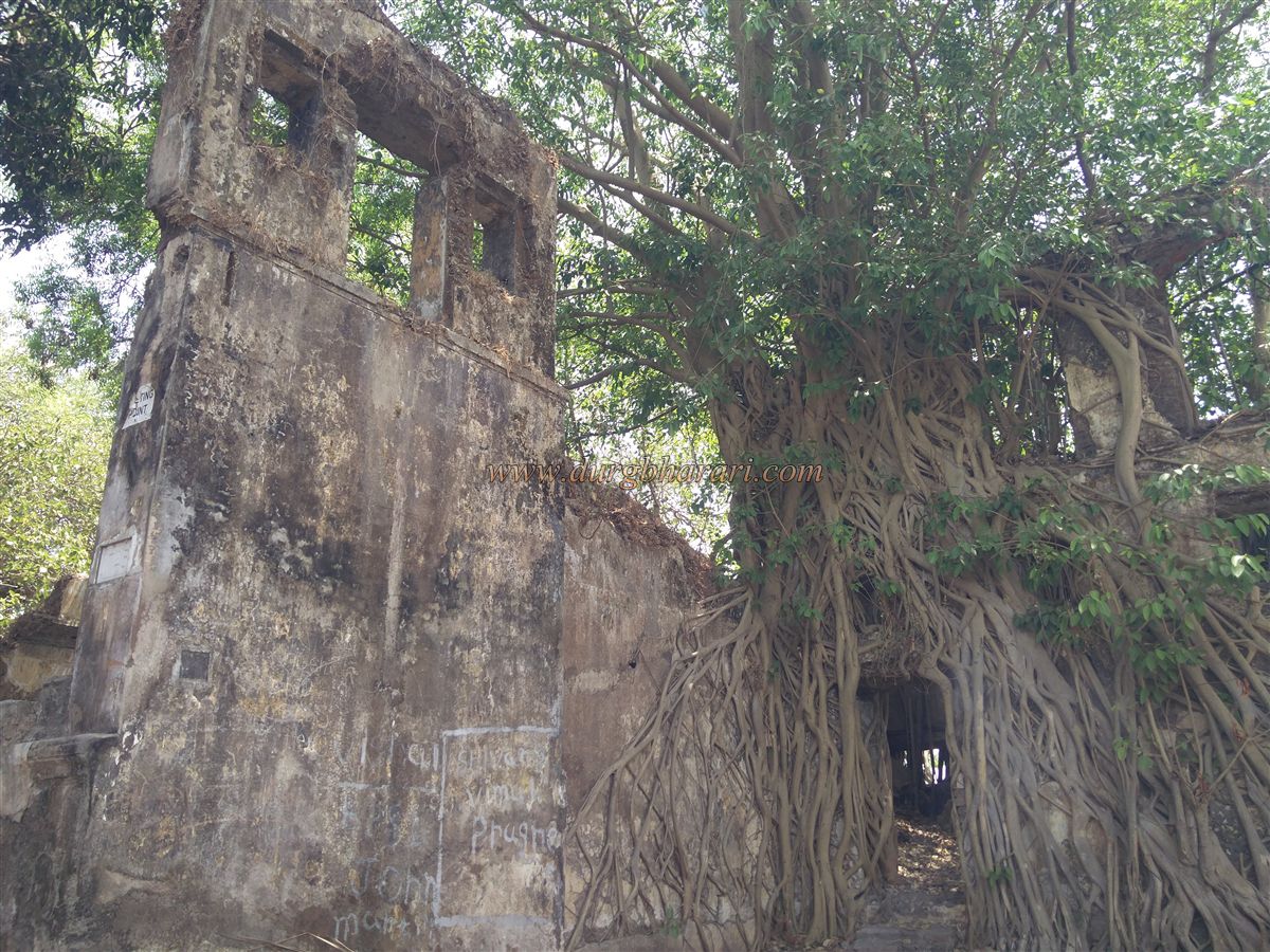
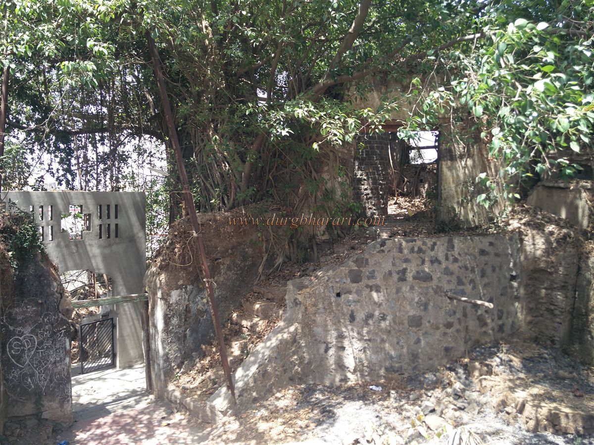
Further into the fort, there are newly constructed water tanks that supply water to the town of Pardi. Beyond these tanks, on the right side, there is a bastion in the rampart, while on the left, there is a deep well built to supply water to the fort. This well is now overgrown with vegetation and sits next to the ruins of an old structure. A garden for children has been developed in this area.
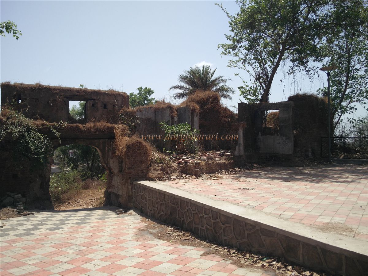
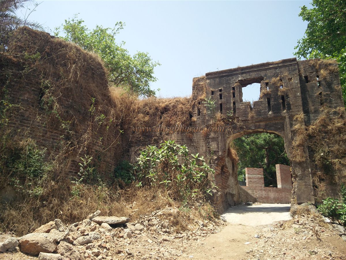
Beyond this section, one reaches the southern gate of the fort. This gate and its arch remain in good condition, with loopholes built above for gunfire. On the inner side of the gate, there are remnants of walls of some old structures adjoining the rampart. On the exterior side of the gate, decorative plasterwork can still be seen, and the adjoining bastion is entirely built of bricks.
This concludes the tour of the fort. A full exploration of the entire fort takes about half an hour.
© Suresh Nimbalkar
GALLERY