NIVTI
TYPE : COASTAL FORT
DISTRICT : SINDHUDURG
HEIGHT : 0
GRADE : EASY
The Konkan region is blessed with nature, but nature has given most of its beauty to Nivti village. It is common for a tourist to fall in love with the nature of this village, which is surrounded by the beauty of coconut forest, golden sand, and blue sea. The fort of Nivti is built on a high ridge in the sea, in the village of Nivti to the south of the creek where the Karli River meets the sea. There are two settlements in Nivti village and to visit Nivti fort you have to reach Kille Nivti settlement. Although it is not known exactly who built the Nivti fort, it is believed that Shivaji Maharaj built this fort while building a chain of sub-forts around Sindhudurg to protect it. Nivti village is 26 km from Malvan by the coastal highway and the distance from Kudal to Parule is 28 km.
...
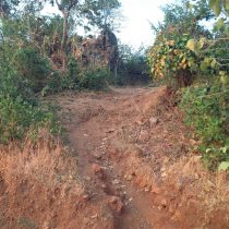
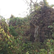
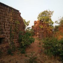
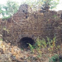
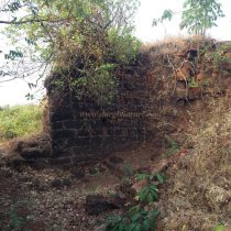
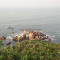
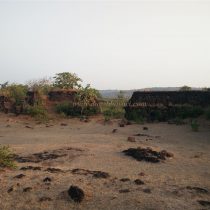
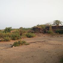
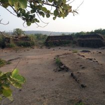
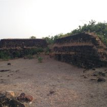
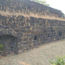
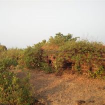
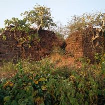
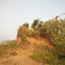
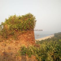
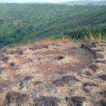
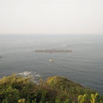
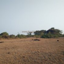
From the bus stand of Kille Nivti village, a paved road leads to the plateau in front of the fort and this road leads you directly to the gate of the fort. There are 8-10 carved stone steps in front of the gate of the fort and the rest of the steps and the moat in this direction have been destroyed due to the paved road on the plateau. The fort is separated from the plateau by digging a 15 feet wide and 20 feet deep moat between them. Today, a lot of bushes have grown inside this moat. Three bastions are built on the ramparts of the fort facing the plateau. The gate of the fort is facing east and the bastion adjacent to the gate has collapsed and its debris has fallen on the gate as a result of blocking the gate. Therefore, we enter the fort through the broken ramparts. There is a large number of bushes growing inside the door and if you come to the door, you can see the guard's porch in the bastion next to the door. The fort is about four and a half acres in size and has the main fort and a citadel in one corner. The area of the citadel is less than half an acre and a moat has been dug in front of the citadel to separate it from the main fort. The citadel is still in good condition and the path leading to the left from the gate leads to the citadel and the path leading straight leads to the other end of the fort. On the left-hand side, on the way to the citadel, you can see four large stone pillars at the four ends of a quadrangle structure. There should have been a big building here. The narrow path to the citadel leads directly to the gate of the citadel at the other end under the ramparts adjacent to the moat. The enemy on this road can be easily killed by the people from above. The entrance to the fort has two gates at right angles, one of which is still standing. The 15 feet high ramparts of the fort have collapsed in two places and there are various barrages in the ramparts to shoot guns and cannons. The fort has a flagpole on the bastion in the middle of the ramparts facing the sea. There are a large number of quadrangle structures in the premises of the citadel and there should also be a quadrangle structure of the fort's office over here. When you return after seeing the citadel, you should come to the door and start seeing the main fort from outside. Going straight through the doorway, you can see two bastions on the right. The first bastion has been demolished on the upper side and large trees have grown on it, while the second bastion at the end is in good condition and has a barrage for firing guns and cannons. From this bastion, you can see the Bhogve beach with golden sand and the area up to Karli creek, as well as boats for fishing and tourists. Coming straight from the ramparts, you can see a place for turning the cannon. Here, the fort has a bastion at the end of the sea. A new cement quadrangle structure has been constructed on this bastion to hoist the flag. From this place, at the foot of the fort, you can see the orange rocks in the sea and the Burnt Rocks lighthouse of Vengurla in the Arabian Sea at a long distance. Adjacent to this wall is a pit and steps can be seen in it. But this should not be a cistern, but a pit created by removing rocks for the construction of the fort. From here, on the way back to the door, you can see small quadrangle structures. In this part of the fort, many Karwanda trees and other thorny trees have grown. When you get to the door, your hour-long walk is over. Considering that there is no water supply anywhere on the fort, it was not built during Shivaji Maharaj’s period but in later times as most of the forts built by Shivaji Maharaj had water cisterns or a source of water in it. On the outer side of the fort, on the way to the sea, are two water cisterns carved in the rock. The locals know these cisterns as “Shivajichi Tali”. From Nivti fort, the sea stretching from Malvan to Vengurle is visible, so the ships plying in this sea are easily visible. Therefore, Nivti fort was important for patrolling the deep sea. In the book ‘Sawantwadi Sansthanacha Etihas’ it is mentioned that some forts were built between 1709-1738 when Fond Sawant II came to the throne in 1709. It mentions that Sawant built a Nivti fort at Kochre. In 1748, it is mentioned that Wadikar Sawant had possession of this fort. On December 2, 1748, Portuguese Viceroy Marquez Castello Novu sent an army under the command of Islam Khan to capture the fort of Nivti. Islam Khan captured Nivti fort on 4 December 1748 and set fire to the boats that were being built by Sawant at Karli. According to the treaty signed between the Portuguese and Wadikar Ramchandra Sawant on 25th October 1754, Nivti fort was returned after imposing certain conditions on Sawant. Around 1788, under the Sawantwadi Sansthan, the Chhatrapati of Karveer conquered Nivti, Vengurla, and Bharatgad. Till 1806 Sawant had to fight to get back the fort. According to the treaty signed between Karveerkar and the British in 1812, the province came under the control of the British, although Nivti fort was under the control of the Sawant’s. Along with other forts in Maharashtra, Nivti fort was captured on 4th February 1819 by Captain Keer, a British officer.
© Suresh Nimbalkar

