NAVTEDURG/GUDHE FORT
TYPE : GROUND FORT
DISTRICT : RATNAGIRI
HEIGHT : 0
GRADE : EASY
Today, many forts in Maharashtra have vanished from people's minds and it is not exactly known where these forts are. Mr. Sachin Joshi from Pune has done the research and published Kasardurg, Manikdurg, Navtedurg unknown fort in Ratnagiri district. Navtedurg is known to the locals as the fort of Gudha. This fort located in Chiplun taluka of Ratnagiri district of Konkan shows its existence in the document ‘Anjanvelchi Vahivat’. The fort, which has been in obscurity till date, is lost in the thicket and is on the verge of extinction if not conserved. Pathardi-Mirwane-Gudhe is the nearest road to Umroli on the way from Chiplun to Guhagar to visit this fort which is situated on a small hill by the stream in Gudhe village. The distance from Chiplun is 30 km. It is convenient to have a private vehicle with you as there is not much transport facility in this part of Konkan.
...
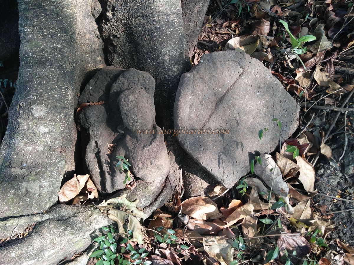
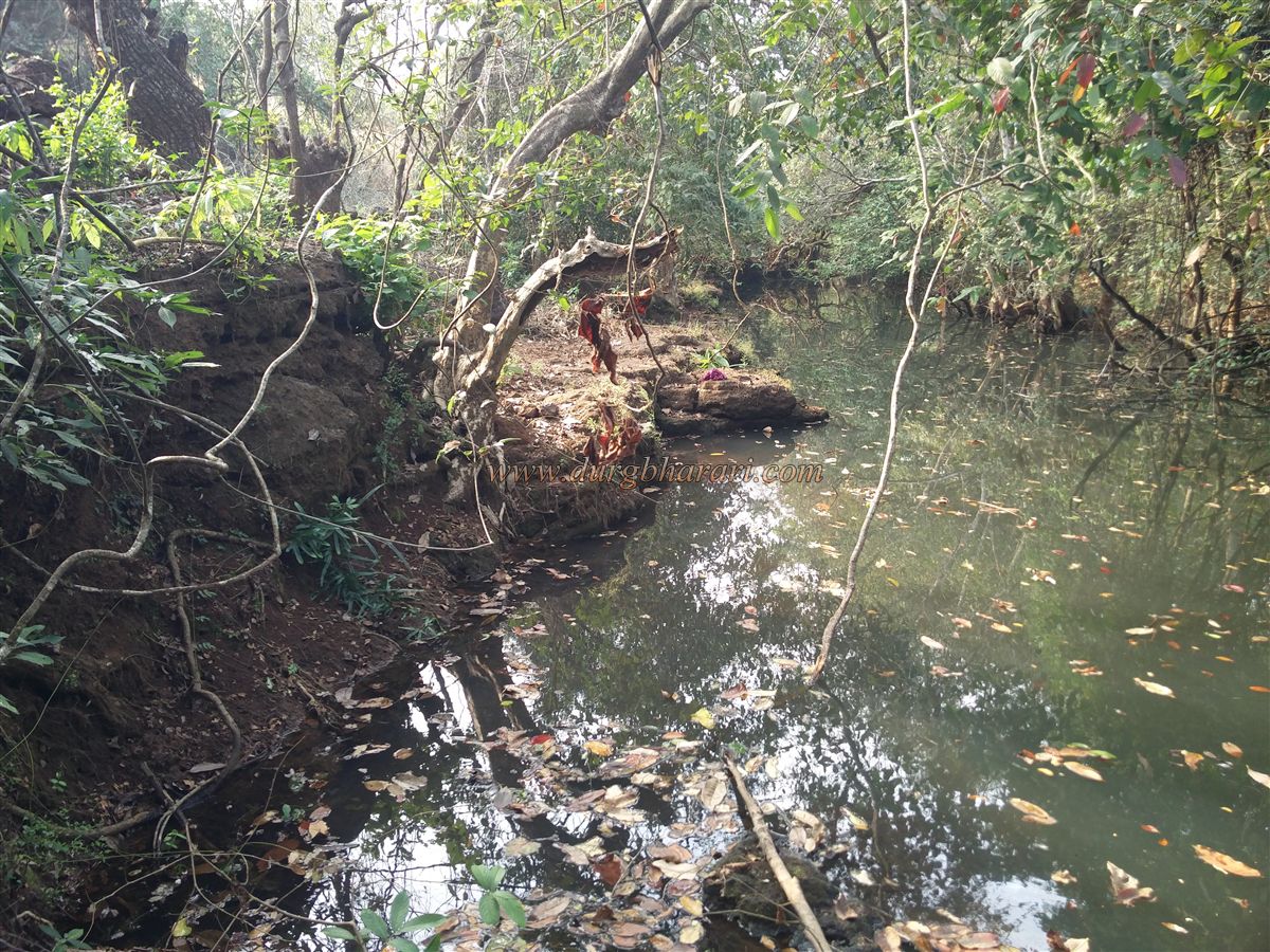
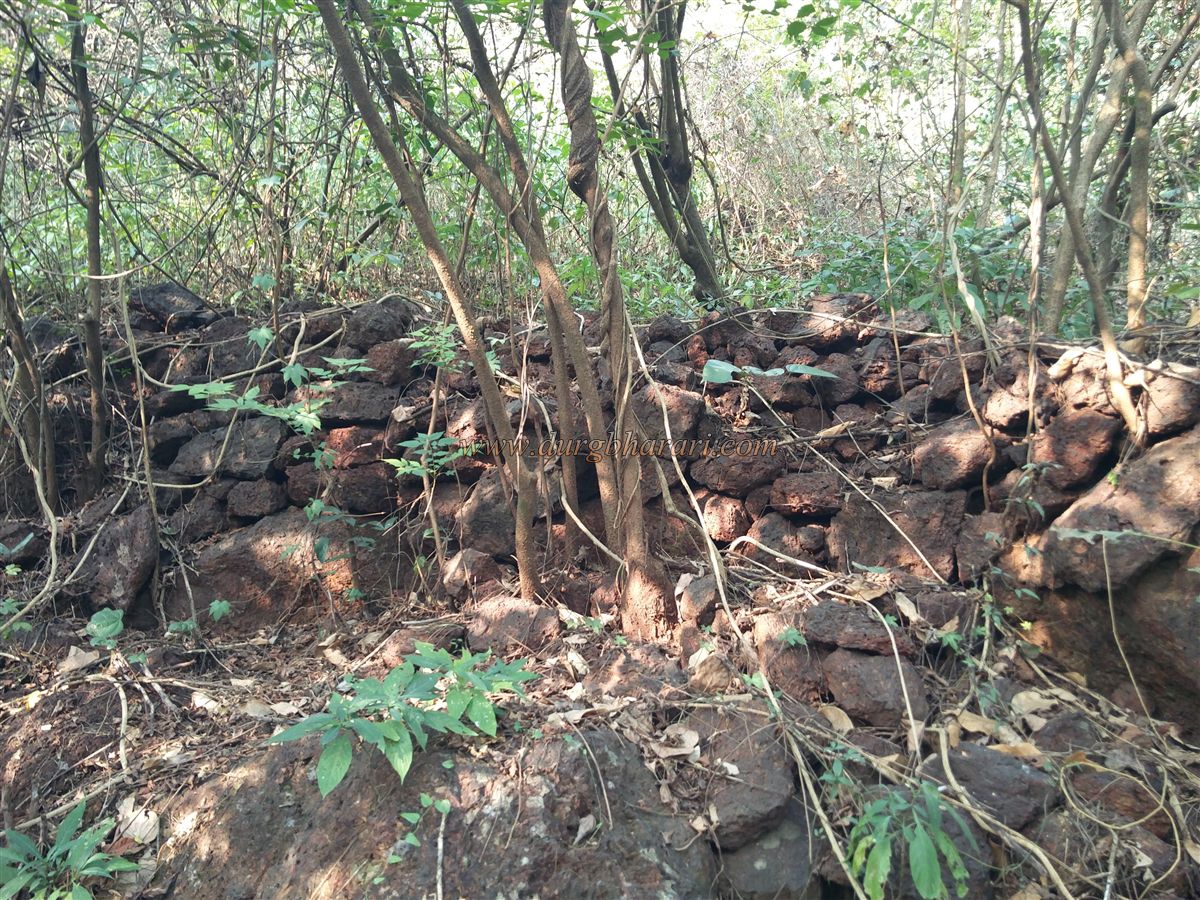
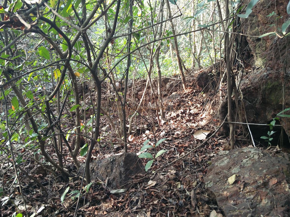
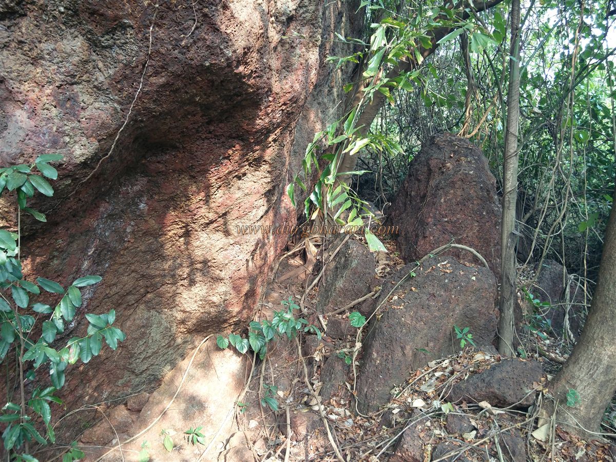
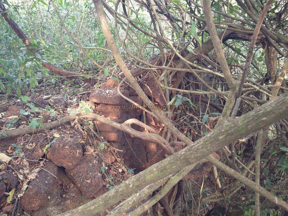
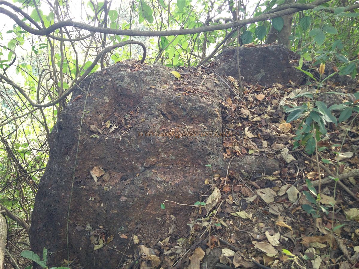
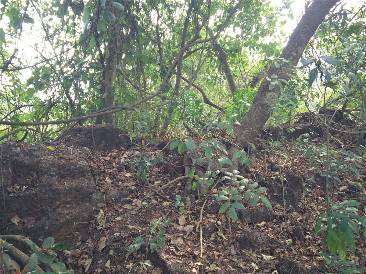
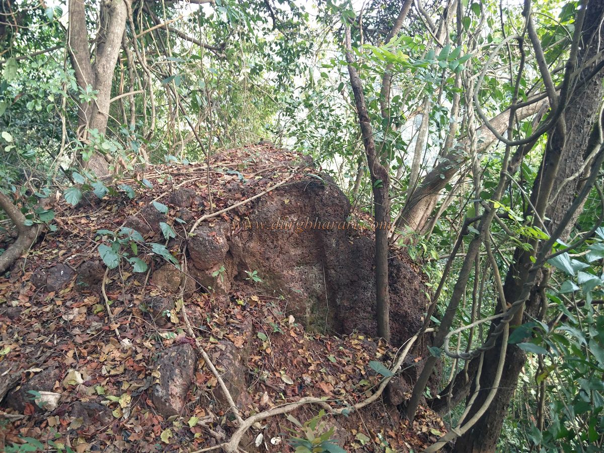
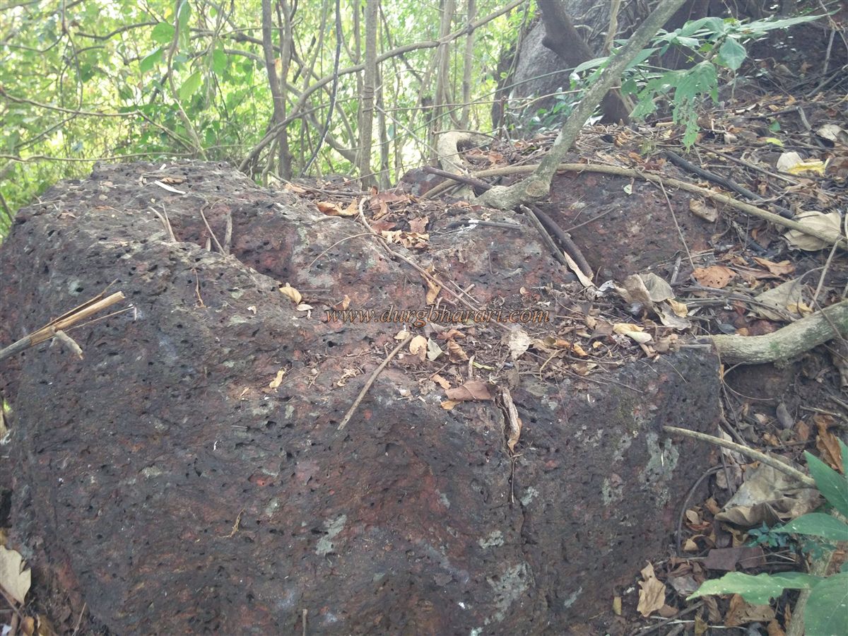
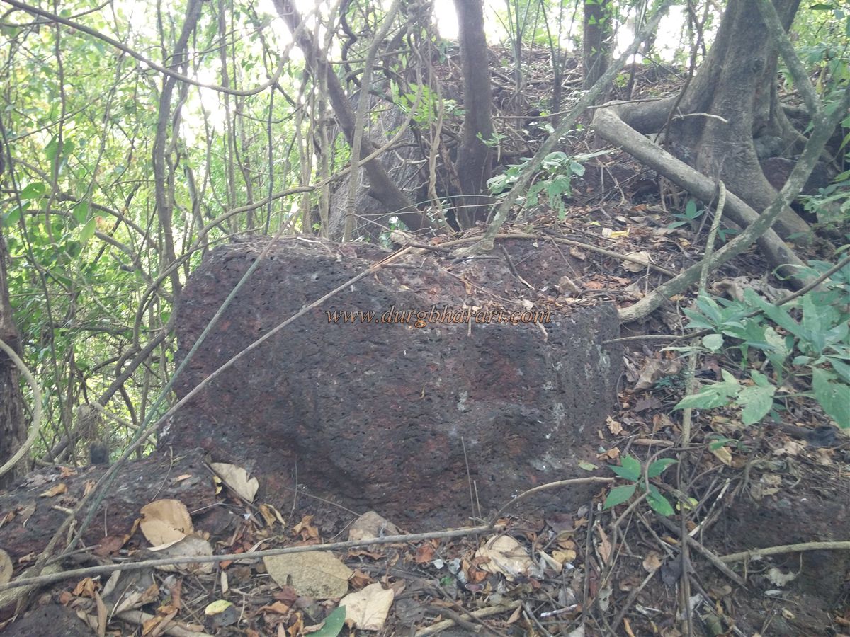
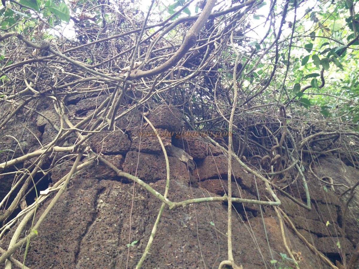
Although there are houses in the village, most of the people are in Mumbai for work, so the houses are closed, so very few people available to guide us. The people of the village show the location of the fort, but due to the overgrown bushes, it is difficult to enter and there is a possibility of getting lost, so if possible take a local villager with you while visiting the fort. Gudhe village has many mansions and the fort is situated on the bank of a stream outside the last mansion of the village. On the way to this fortress, you can see a very beautiful carved Shivling lying on the grass in the open. Turning left over the bridge on the stream we reach the other side of this stream. At a distance of about 400 feet, there is a slight slope and on the left side, under a tree, you can see some worn-out broken idols found in the fort. You can reach the fort by descending from the right side of this tree. Apart from this, the fort can be reached by crossing the stream from the Vamaneshwar temple on the opposite side of the stream. But if there is water in the stream, it is not possible to go this way. One of the similarities between the forts of Kasardurg and Navtedurg is that the forts are constructed by using the curved character of the river as a moat and building ramparts on the other side. A rampart about 15 feet high has been constructed from the rock scattered of the fort towards the stream. In places where the height of the rock is low, a rampart has been erected. At this place, there is a stream of water which was used by the fort there is a path to reach this stream. This route leads to the fort. On the inside of the fort, you can see eroded stones and some cracks in the ramparts. There are quadrangle structures of some buildings but there is a huge amount of bush growing on it. Walking through the hill area of the fort, one can see two bastions. The hill of the fort is in the middle of the stream and the stream flows in a circular pattern around this hill. There should be one or two more bastions in the upper part of the fort but it is not possible to move around much due to dense bushes. It takes 1 hour to search for the remains on the fort. In the document Anjanvel, which dated back around 1824, it is mentioned that this area is in the possession of a Sardar named Pawar of Vijayanagar and he built Navtedurg at Valambe towards Mauje Gudhe and established a market here. Kasardurg, Manikdurg, and Navtedurg are the three forts on the way from Palshet port to Karhad market. These forts may have been built on this route for tax collection and protection of traders. Around 1502 Mustafa Khan Sardar of Bijapur demolished these forts of Pawar and established a county at Dabhol. Considering the present condition of the fort, the fort must have been abandoned in the period after it was demolished.
© Suresh Nimbalkar
GALLERY