NAVRA NAVRI
TYPE : HILL FORT
DISTRICT : NASHIK
HEIGHT : 3202 FEET
GRADE : MEDIUM
Hidden in the Sahyadri Ranges: The Forgotten Fort of Kushegaon (Navra-Navri Fort)
Many forts nestled in the lap of the Sahyadri have lost their identity in the pages of history and remain hidden in the mists of time. However, thanks to the efforts of fort enthusiasts, some of these forgotten forts are coming back into the light. One such rediscovered fort is the Kushegaon Fort.
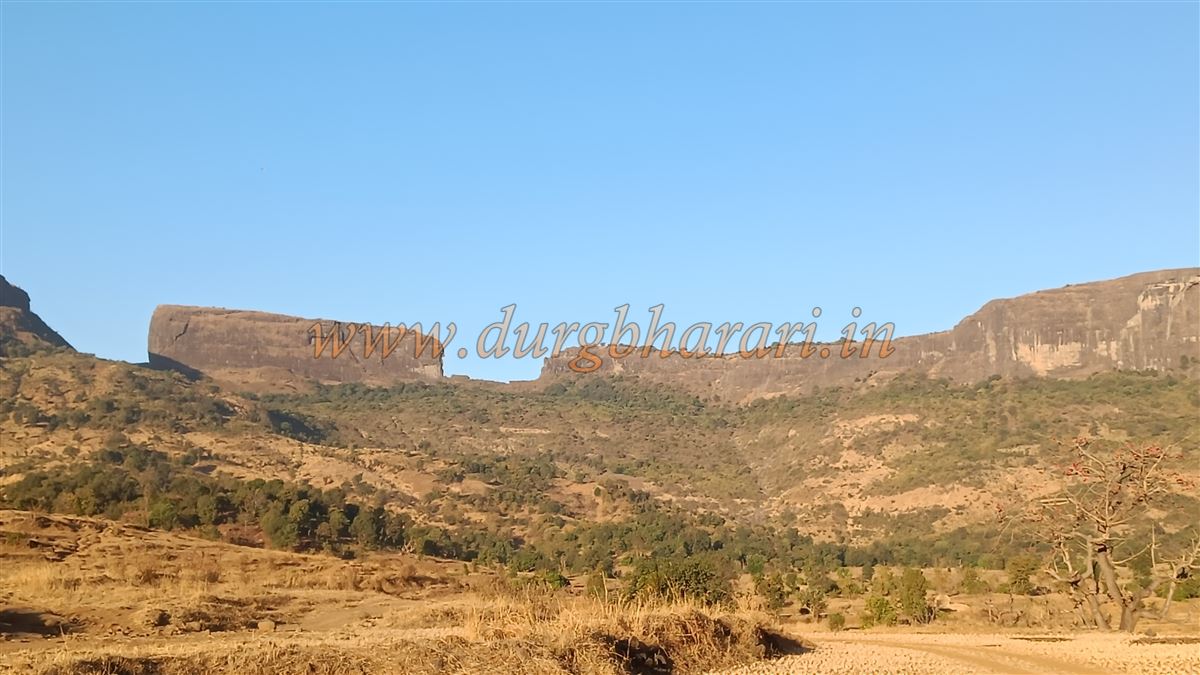
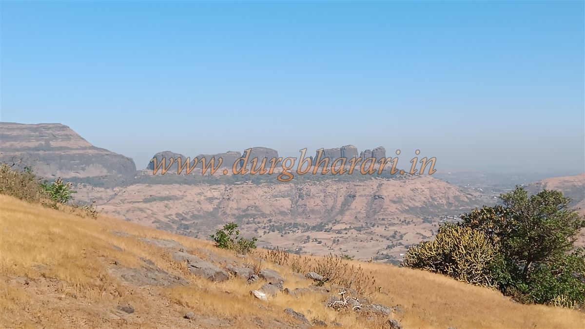
In Anand Palande’s book Durgvastu, this fort is referred to as Kushegaon Fort. However, in Bhagwan Chile’s book Gadakillyanchya Rajyat, it is affectionately known as Navra-Navri Fort (Bride and Groom Fort). Located in Kushegaon in the Igatpuri taluka of Nashik district, while a few fort enthusiasts refer to it as Kushegaon Fort, the locals call it Navra-Navri Fort, due to the appearance of two prominent pinnacles—one small and one large—resembling a bride and groom.
...
There are no prominent fort-like structures visible on the fort today, making it relatively unknown to trekkers and fort lovers. The fort can be accessed from two villages Pahine and Kushegaon but since both entrance paths lie toward Kushegaon, it is the more convenient starting point.
Getting There:
The distance from Igatpuri to Kushegaon is around 40 km. From Ghoti Phata on the Nashik Highway, it’s a 30 km journey via Wadiware. Wadiware to Kushegaon is just 14 km. The path to the fort begins from Pimpalwadi, a hamlet on the outskirts of Kushegaon. Since the trail is barely trodden, it is advisable to take a local guide.
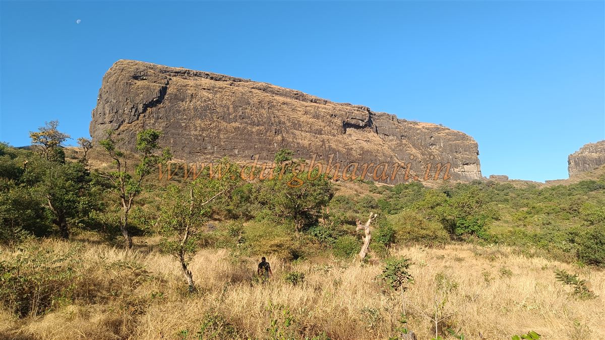
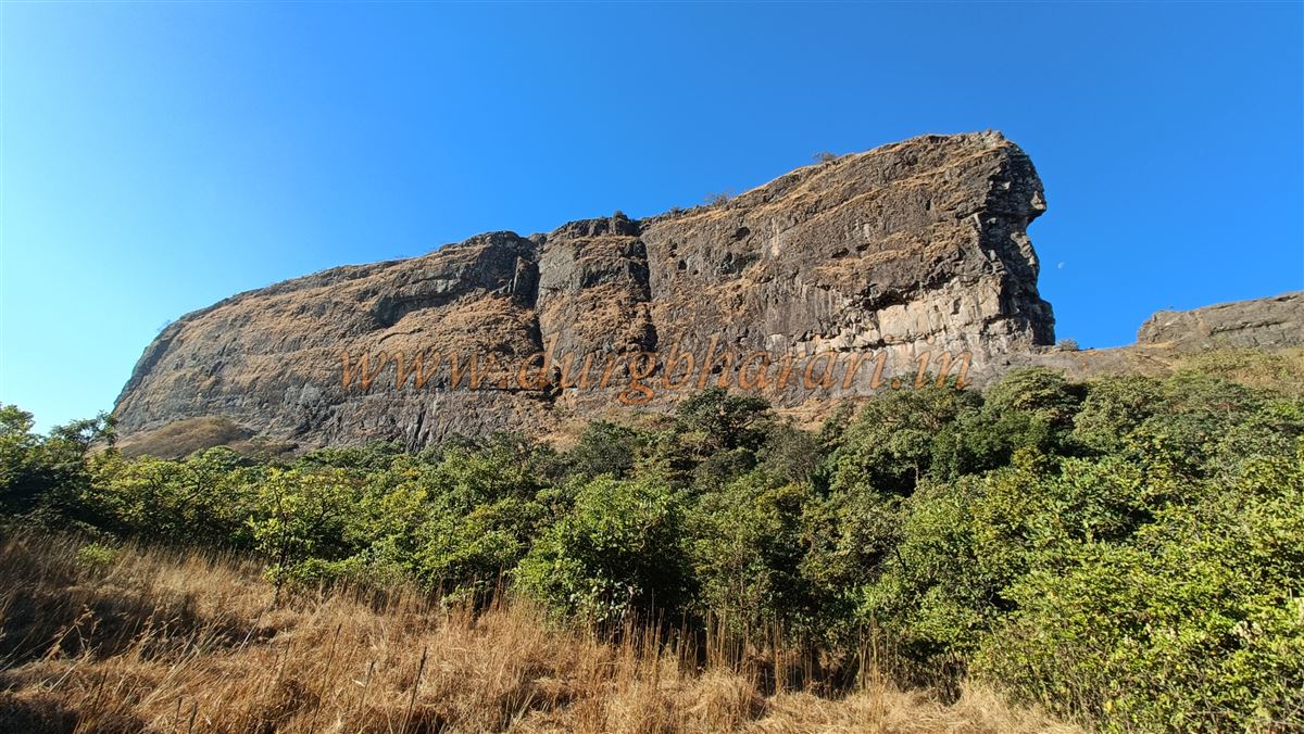
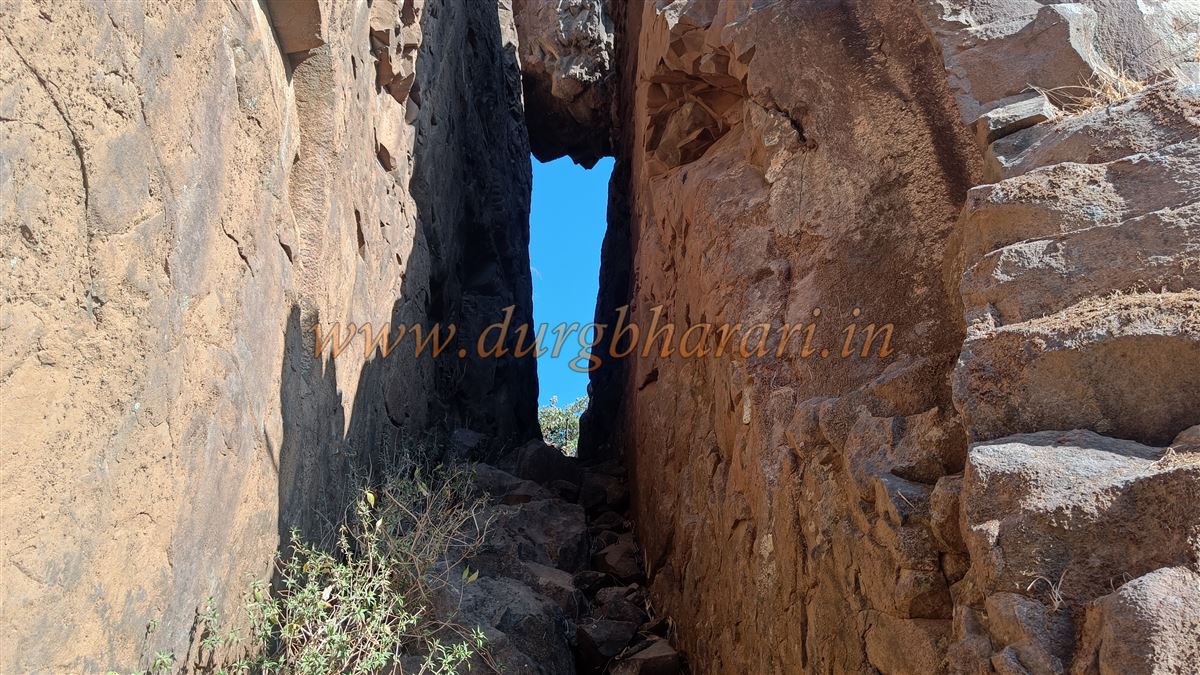
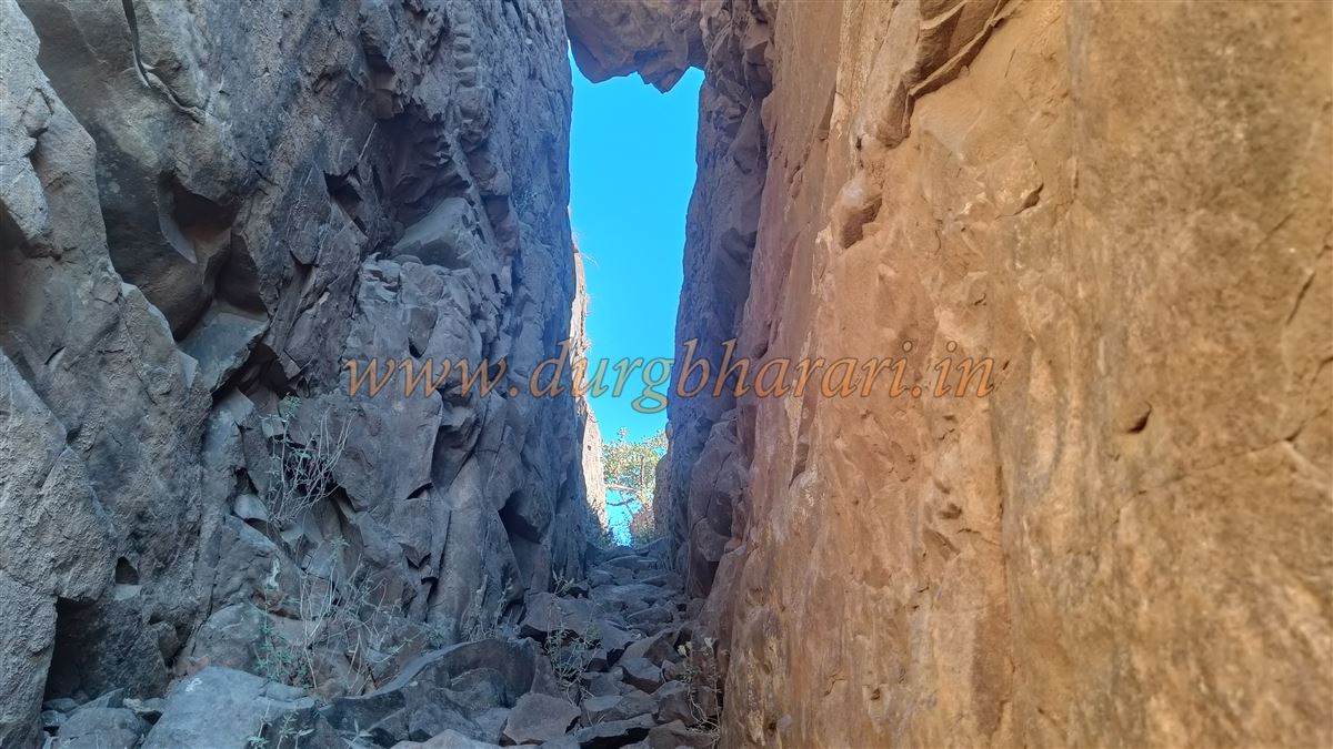
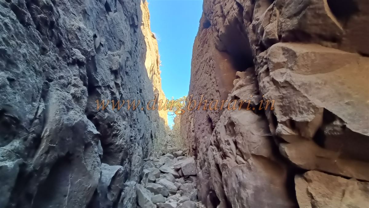
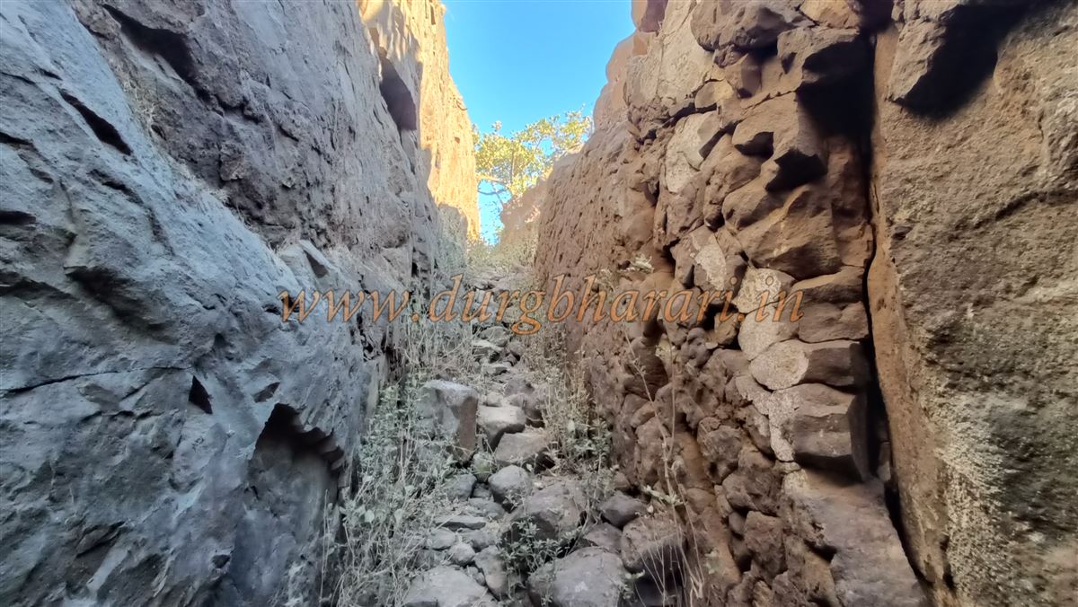
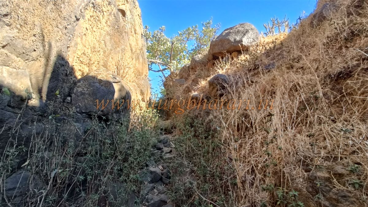
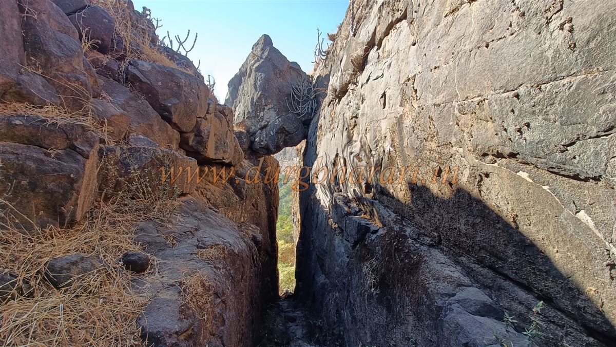
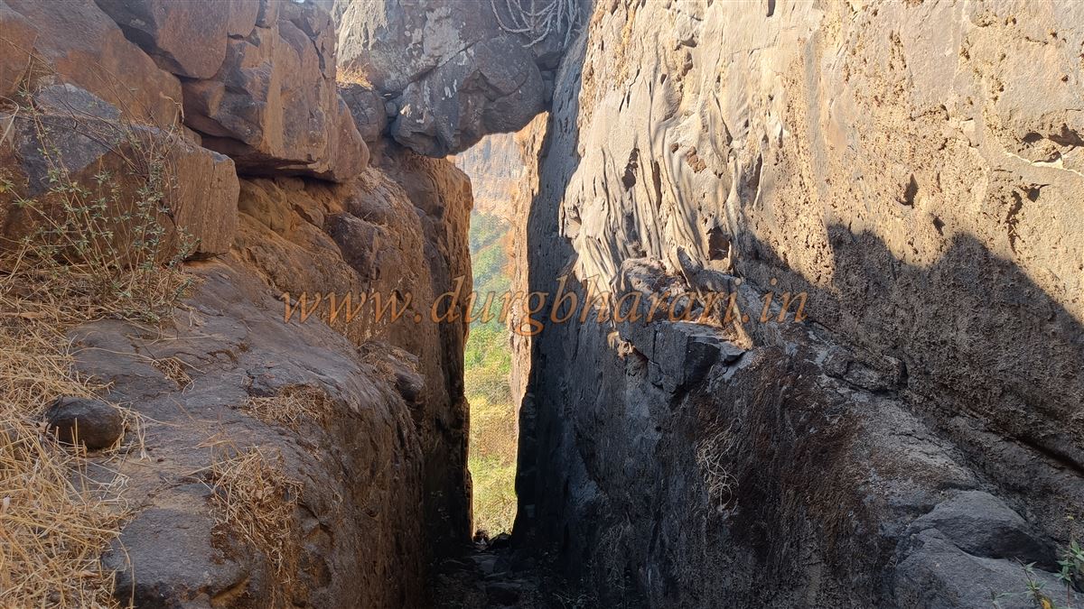
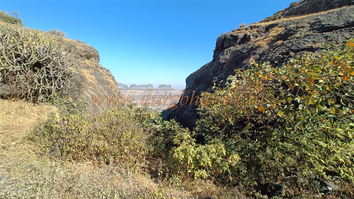
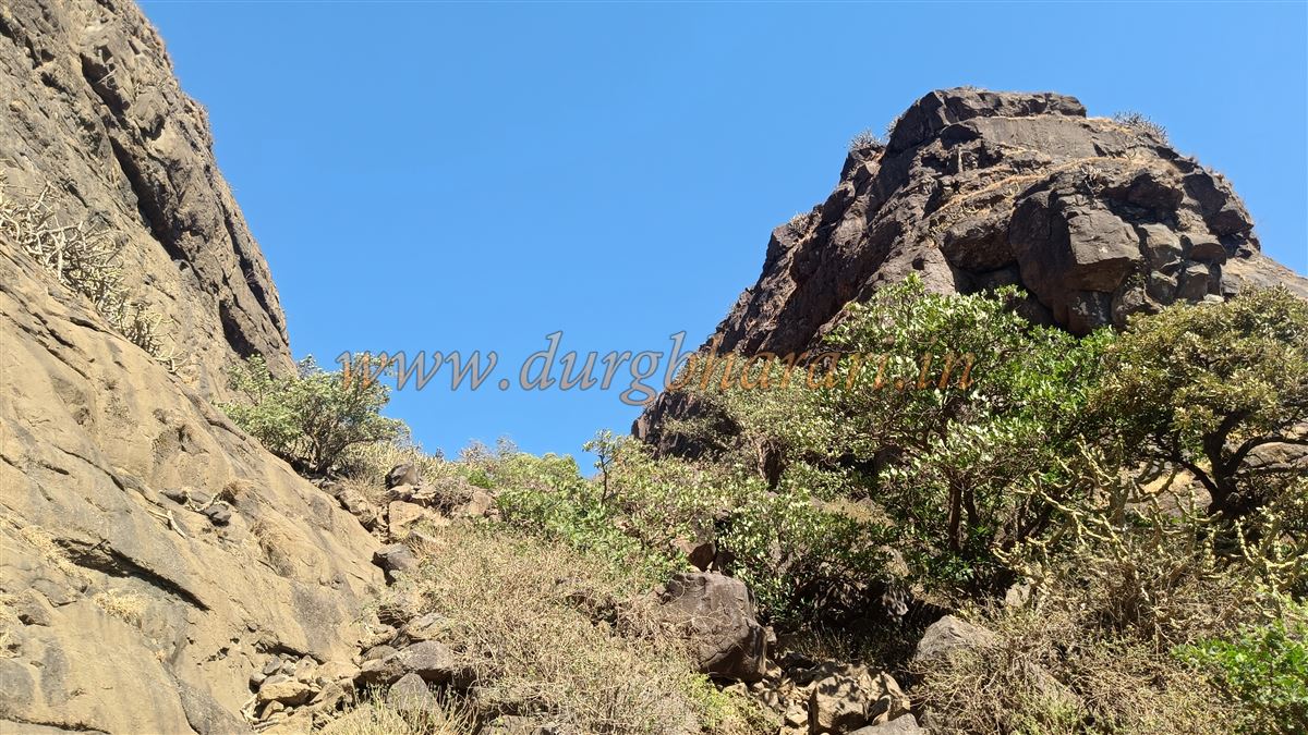
From Pimpalwadi, the fort hill stretches east to west. The rightmost narrow pinnacle is called Navri (bride), the central hill is Navra (groom), and the slightly detached left hill is called Bida (father-in-law). One path climbs towards the Bida hill and then turns right, following a stream-carved route to the top. The other path ascends through a narrow gorge in the Navra hill and is better used for descending, especially in the afternoon heat.
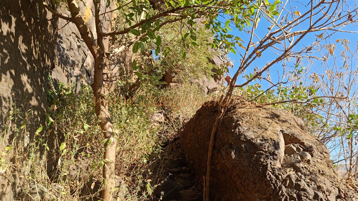
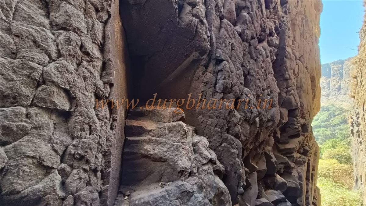
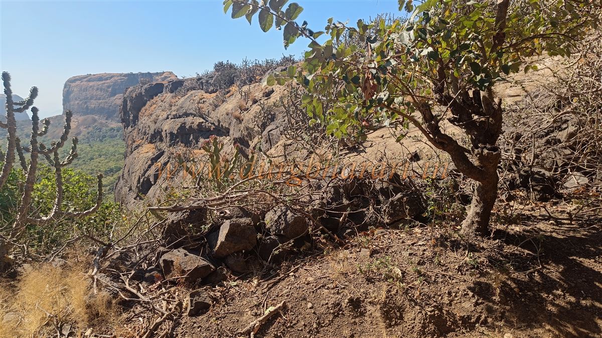
Climbing via the Bida side brings you to the base of the Navra hill. From there, the trail ascends through a dense forest and follows the rocky watercourse carved by stream flow, likely used as the original entrance path to the fort. The steps seem buried under debris from years of erosion. The trail is narrow and strategically advantageous for defense. Along the way, there is a small rock shelter with local deities placed inside.
Top of the Fort:
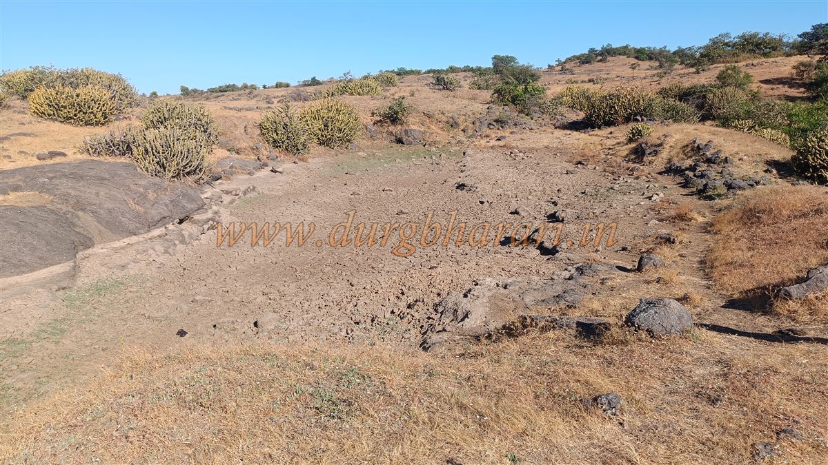
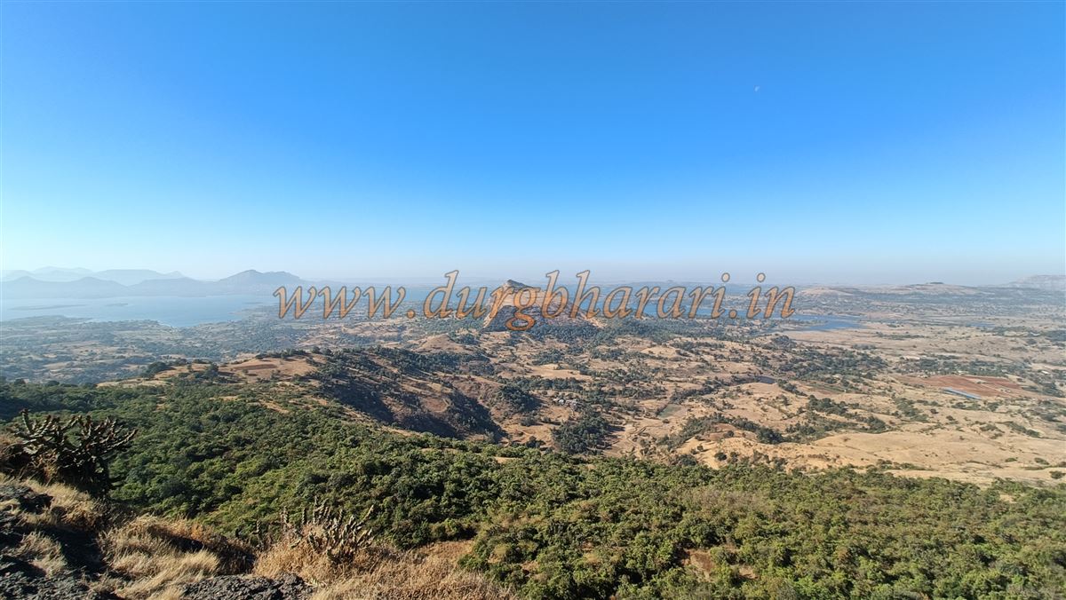
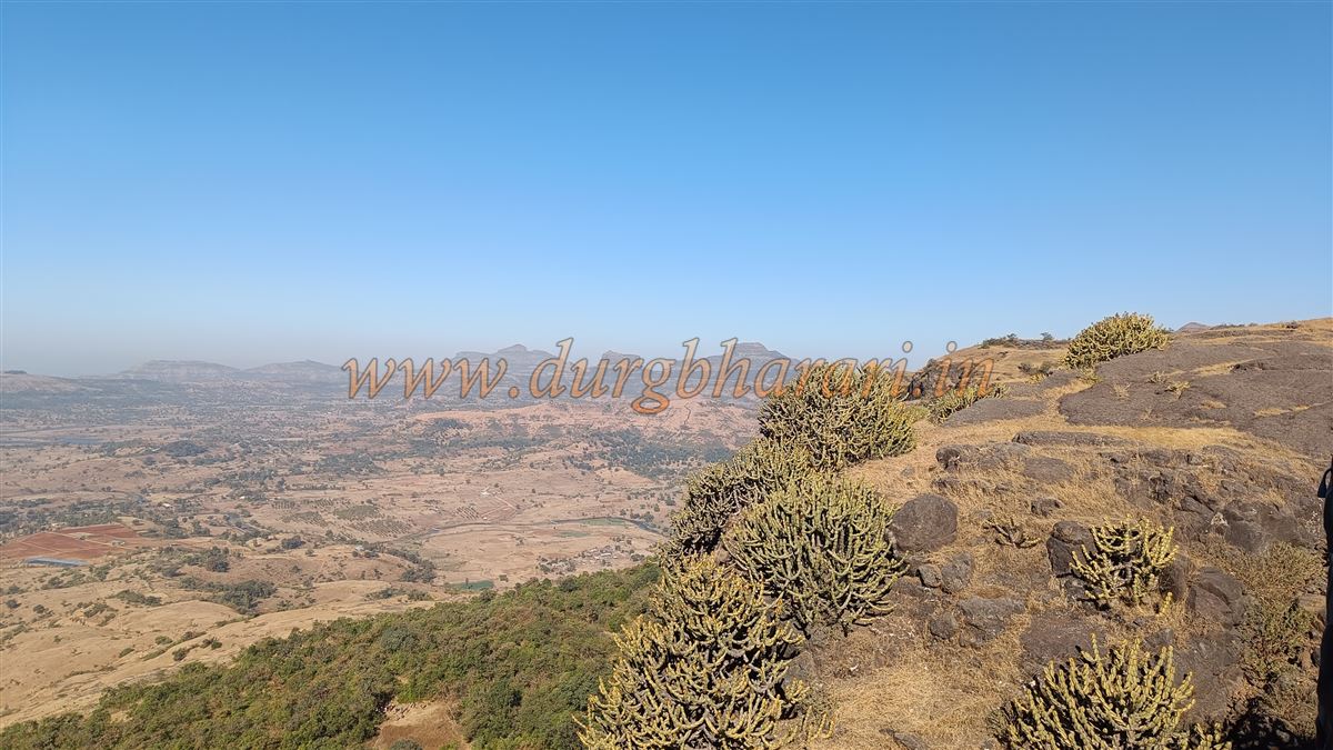
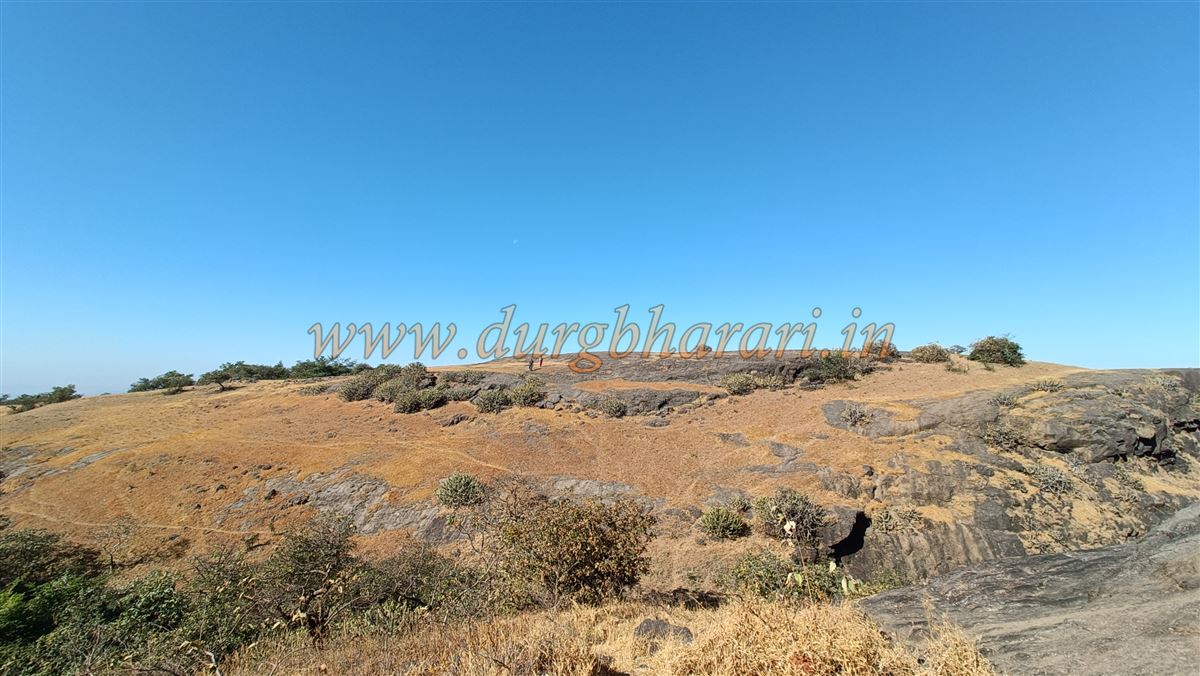
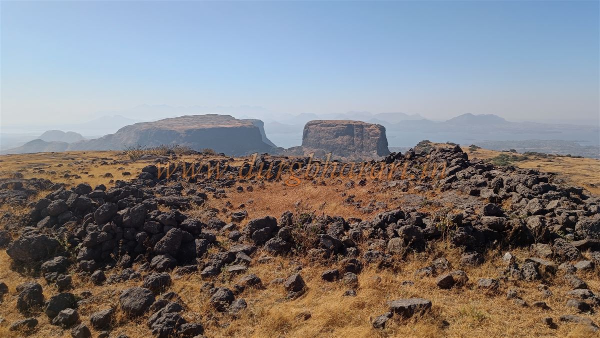
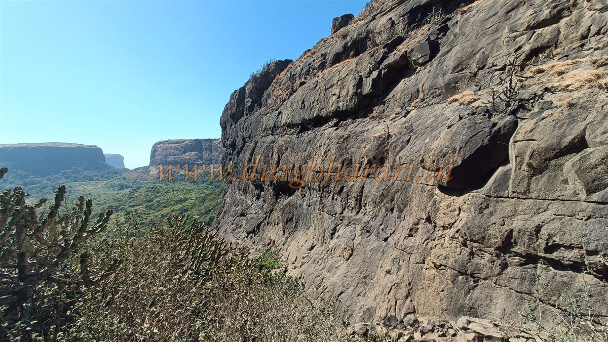
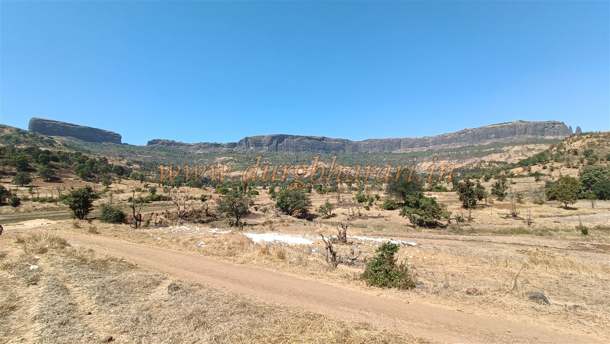
Upon reaching the top, a seasonal water tank is visible, which holds water only until October. Though the fort’s plateau is narrow, it stretches widely. The summit is at an elevation of 2,880 feet above sea level, offering clear views of Anjaneri, Harihar, Basgad, and Trimbakgad. The expansive Vaitrana Dam can also be seen from the edge.
Walking westward along the plateau leads to a medium-sized cave on the left above a gorge in the direction of Pahine. Inside the cave is a water cistern carved into the rock, with water available year-round (though it may need filtering). Though it appears natural, parts of the cave have been manmade.
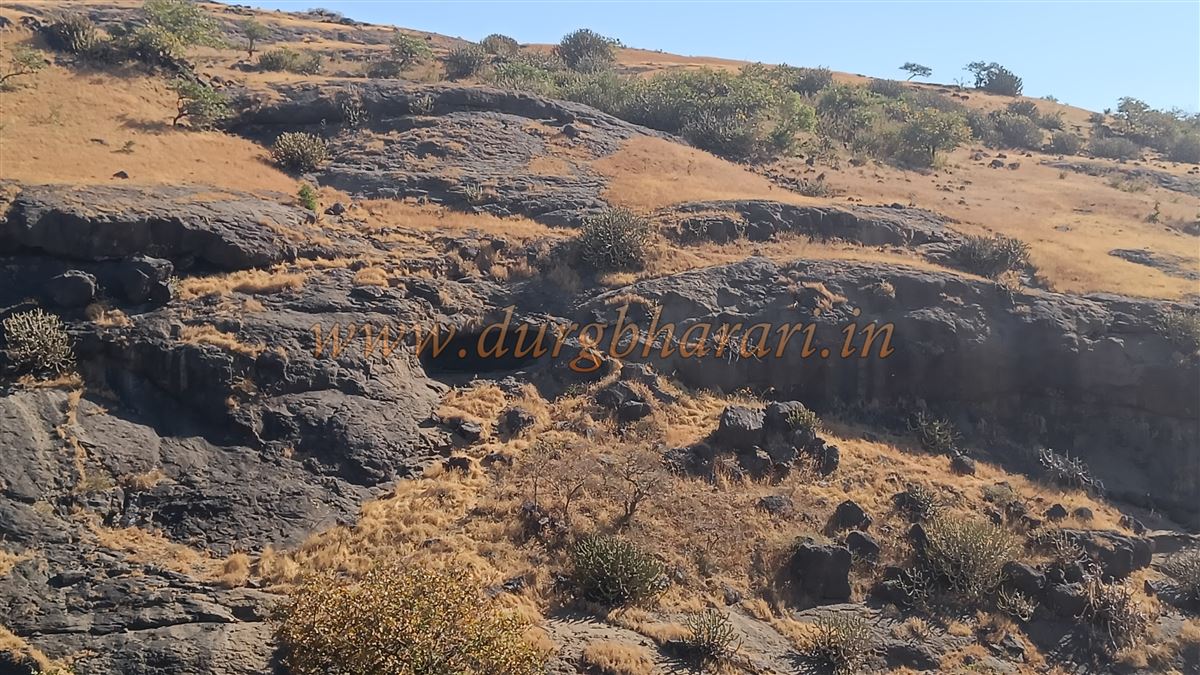
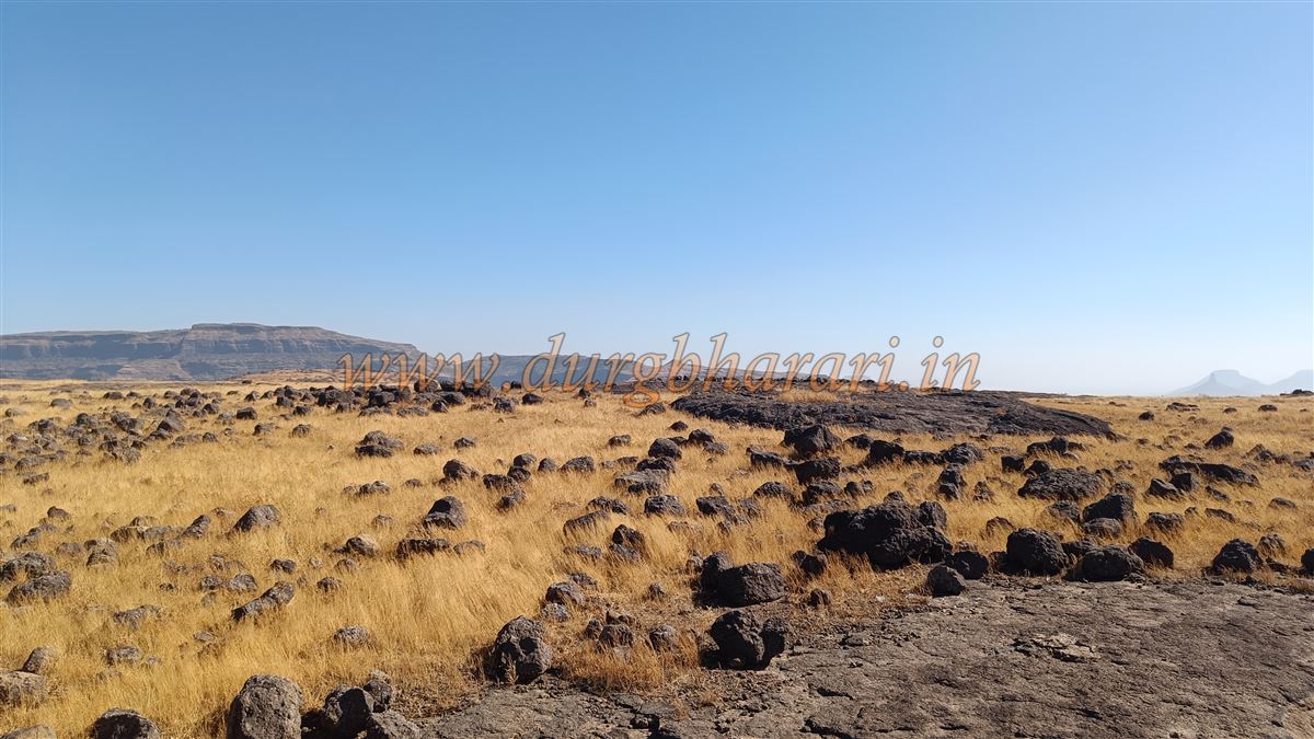
Above the cave on the plateau are platforms made of rough stone, perhaps remnants of ancient buildings or cattle shelters built later by shepherds. The treeless plateau can be explored in about an hour.
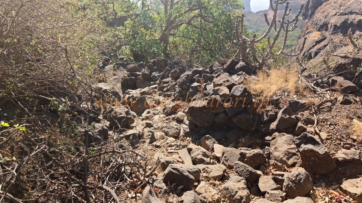
On the opposite side of the cave, a gorge offers an alternative route up or down the fort. At the upper end of this trail is a section of old stone fortification, now heavily ruined. Descending via this route takes about an hour to reach Pimpalwadi again.
Trekking Tips:
A full circuit—from the village to the fort and back—takes approximately five hours. If staying overnight, the temple at Pimpalwadi can provide basic shelter, though food arrangements must be made separately. Even though the fort has a water tank, it is stagnant and not recommended for drinking. Carry sufficient drinking water from the village.
Conclusion:
The original name of this fort is lost to time, and so is much of its history. However, judging by its location and incomplete construction, it may have been an unfinished fort or a watch post within the Trimbakgad region.
© Suresh Nimbalkar
GALLERY