NANDURBAR
TYPE : HILL FORT
DISTRICT : NANDURBAR
HEIGHT : 820 FEET
GRADE : EASY
Talking about Nandurbar and tourism everyone gets excited. People think that apart from Toranmal, the second coldest place in the state after Mahabaleshwar, there is no tourist destination. In this tribal-dominated Nandurbar district, not one or two but 15 forts existed at one time in the form of the hill fort, ground fort, and fortress. Apart from the 7 forts mentioned in the book ‘Maharashtratil Gadkille’, by Durga Maharshi Pramod Mande, there is no mention of these forts anywhere else. In today's modern age, information about these forts is not even available on the internet. A lot of information came out while our trekking group durgbharari has conducted a study tour of all these forts and I have tried to present this information on this website Durgbharari.
...
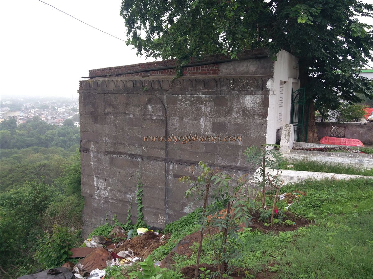
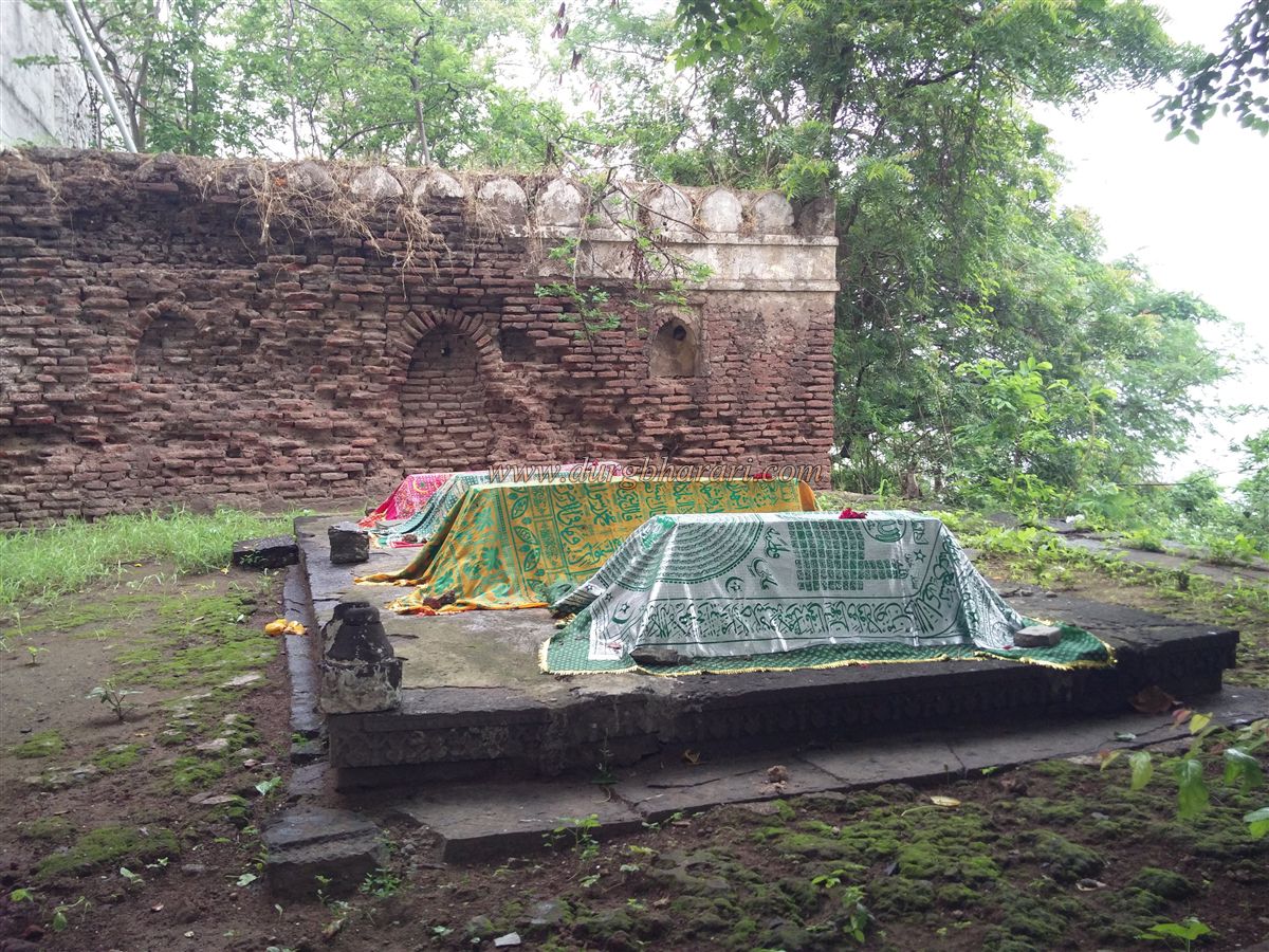
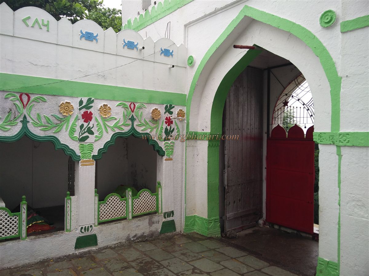
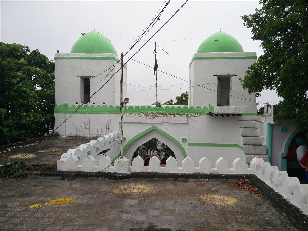
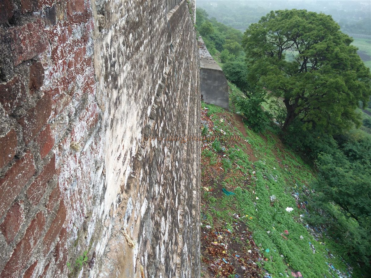
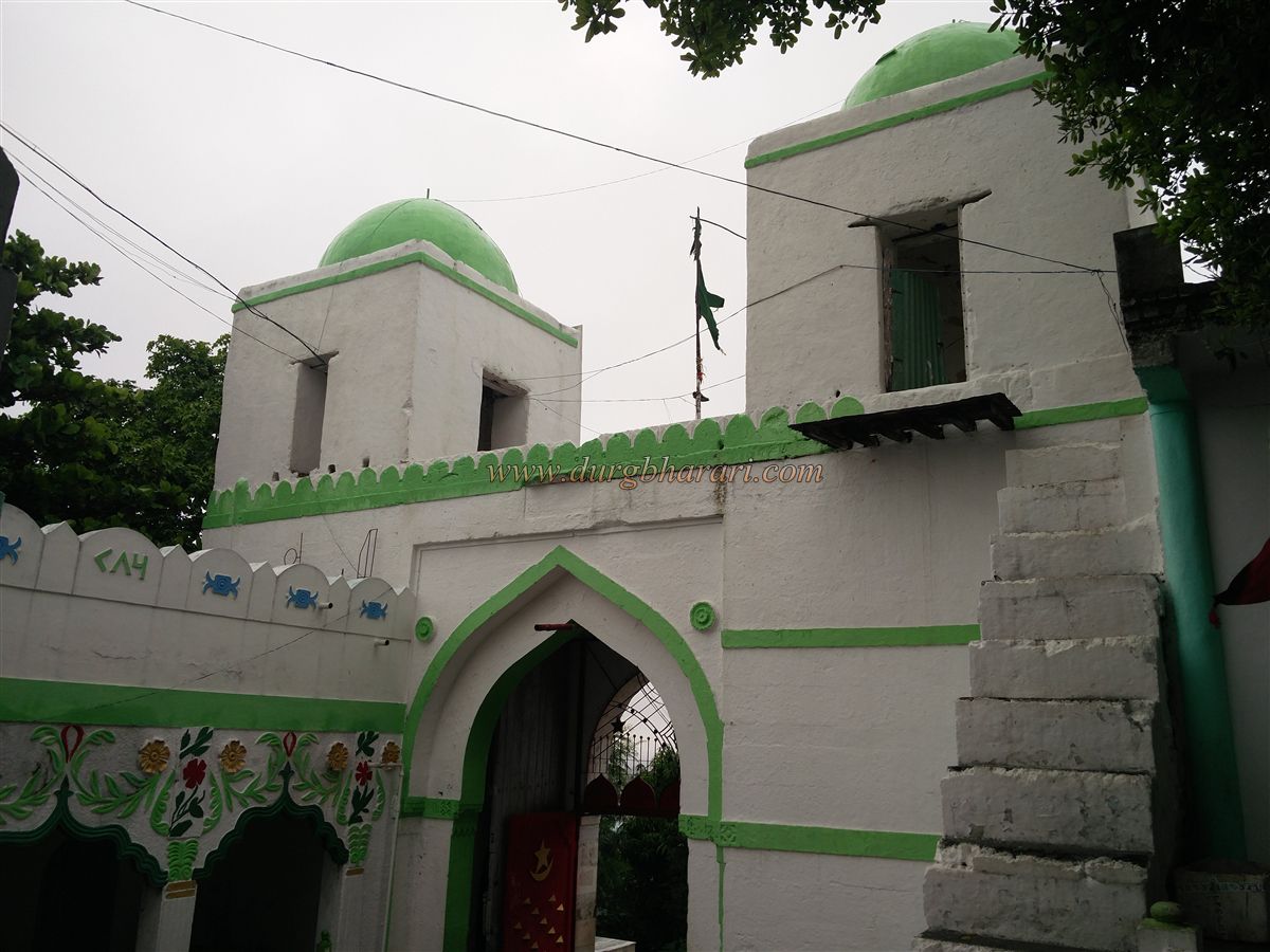
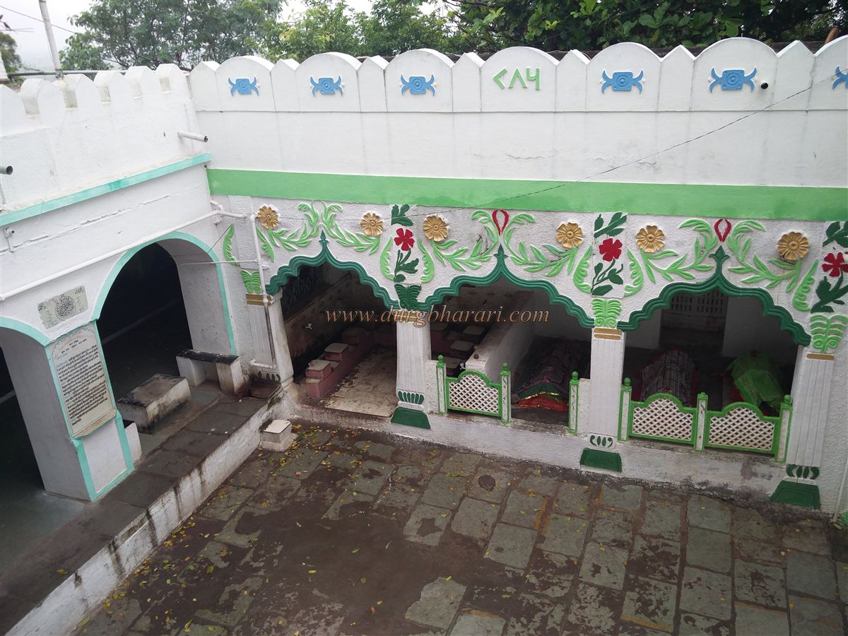
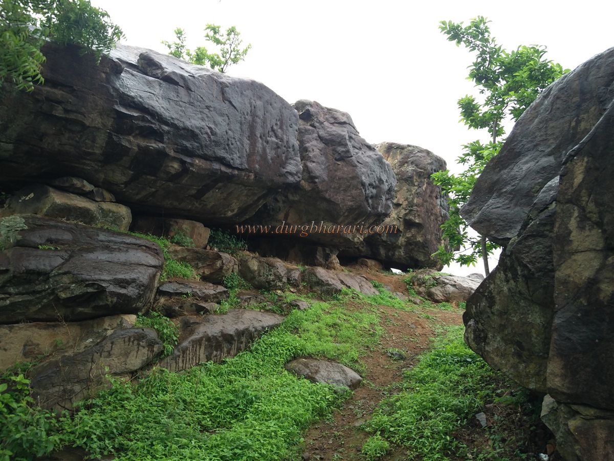
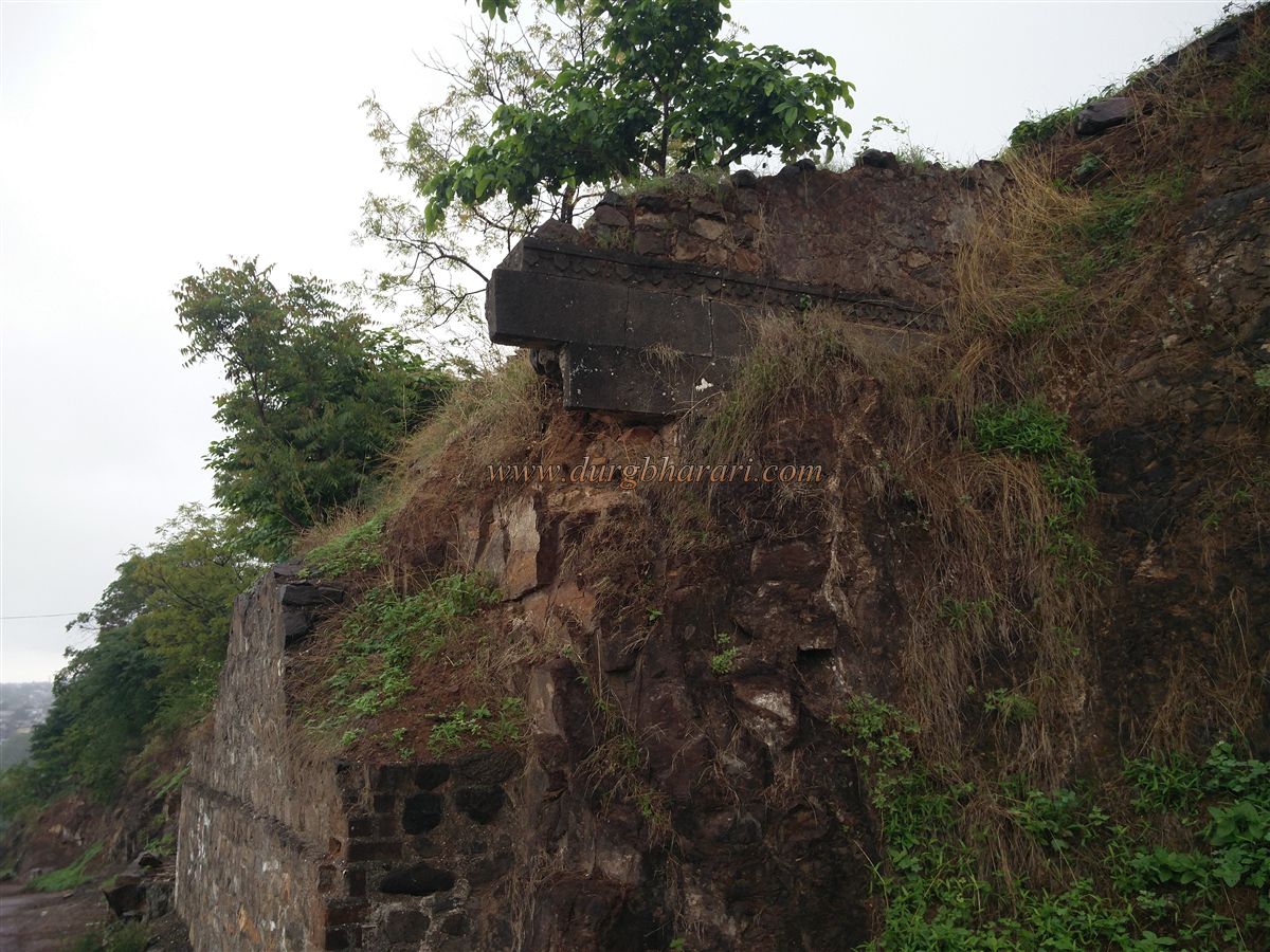
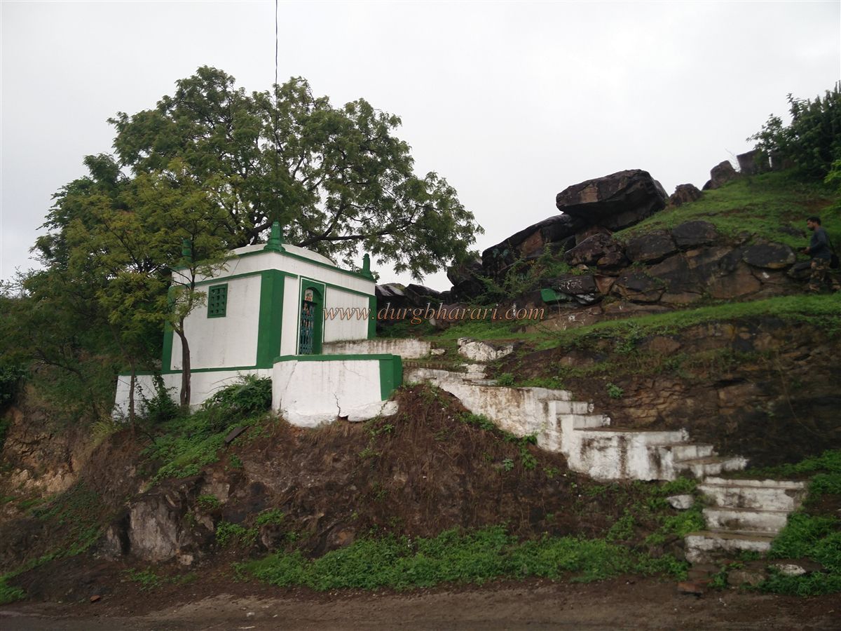
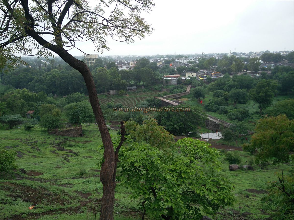
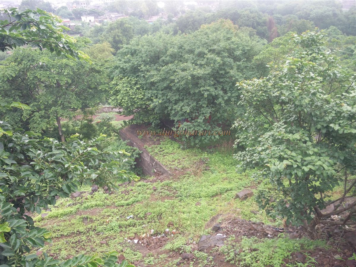
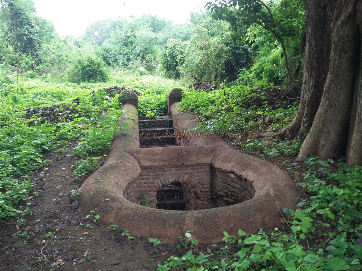
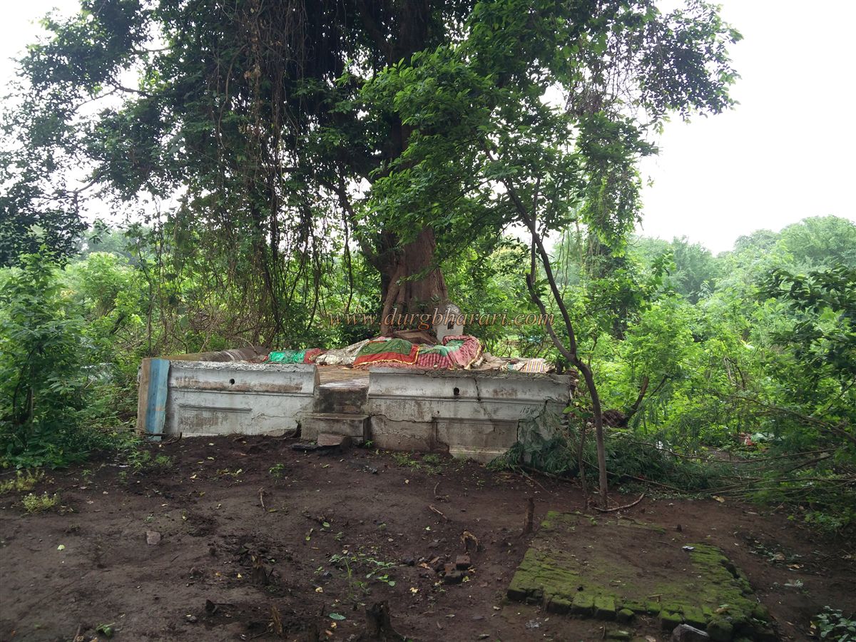
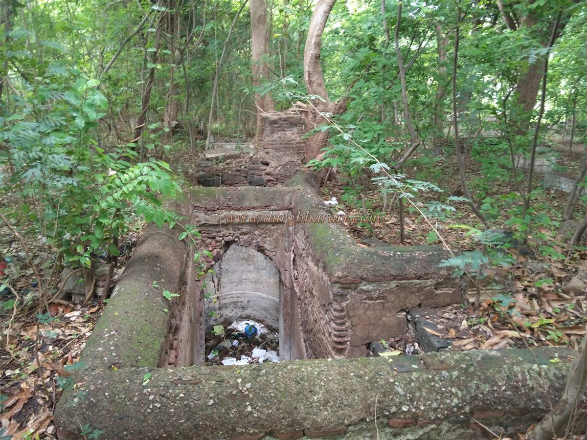
Out of these, two forts, Hatmoida and Ashte, have been destroyed and the remaining 13 forts are still standing today, taking care of their remains. These 13 forts have 1 hill fort, 5 ground forts, and the remaining 7 are fortress. As most of these villages are located in the forts themselves, the growing population of the village has demolished the remnants of these forts. We first visit Nandurbar, the only hill fort in the Nandurbar district. Nandurbar, which was once part of Khandesh, first became part of Dhule district after the partition of Khandesh and then on July 1, 1998, Nandurbar district was formed out of Dhule district with six talukas. Nandurbar district borders Madhya Pradesh and Gujarat directly. The city of Nandurbar is located at a distance of 360 km from Mumbai. The main city of Nandurbar district and is connected to the major cities of the country by road and railways. To visit the hill fort of Nandurbar, you first have to reach the city of Nandurbar. The fort is situated on the hill to the west of Nandurbar city and the height of the fort is 818 feet above sea level. This small fort is spread from east to west and the area of the fort is about 3 acres. The fort is known to the locals as Hazrat Imam Badshah Dargah. This Dargah is at the top of the fort and there is a paved road to reach there. On the way to the fort from the village, on both sides of the road at the foot of the hill, you can see two ancient wells and a large number of tombs of the royal family. Currently, a large amount of mud has accumulated in this well and a forest has been created around the tombs. On the way to the fort, on the right side of the road, on the hill slope, you can see a large number of architectural remains, as well as an old stone dam at the foot of the hill. Currently, the dam has low water reserves due to a large amount of silt accumulated in it. The ramparts of the fort were largely destroyed during the construction of the paved road to reach the fort. After crossing the first arch of the road, you will see a newly built Mosque on the left and an ancient building on the right. There is one tomb inside this building and one tomb outside it. Looking at the overall construction of this building, it should not be the original building of the Mosque but later it must have been transformed into a Mosque. On the left side of this road, you can see the stone wall of the fort and the remains of the door. After crossing the second arched gate, we reach the east-facing gate of the fort. The arch of the gate and the original wooden door of the citadel are still standing and marble floors have been laid on it to decorate the facade, but due to this, the original construction of the door has been lost. Going up the stairs, you can see the original construction of the fort in the ramparts. There are four tombs in a row in this place and some carved stones can be seen in the ramparts. Seeing this, turn back and enter the citadel. Upon entering the citadel, there is a marble plaque in front of which gives the names of the buildings on the fort and the information as to when and for whom they were built. On the inside of the doorway, steps are leading to the ramparts & bastion. In front of the gate are two rooms with the original construction of the citadel and another three are newly built. From here we climb a few steps to reach the Mosque at the citadel. The north and west ramparts of the citadel have a large number of rooms and at the back of the Mosque, there is a paved path leading down. There is an underground basement in this place and it is open on one side. This structure is the Rangmahal on the fort and the construction of this structure is mentioned by a Chikhali Chief during the reign of Mughal Emperor Shah Jahan. According to the Persian inscription on the door of the Mosque, the original tomb was built by Khandesh Sultan Nasir Farooqi and the present tomb was built by Gujarat Emperor Mahmud Begda. It is mentioned that there are three inscriptions on the fort but at present, this is the only inscription. From the top of the fort, the entire city of Nandurbar and the distant landscape can be seen. After exiting the citadel, go straight down the path on the right and you should reach the eastern end of the fort. There used to be a bastion in this place but now no remains can be seen. This is where your fort round ends. Half an hour is enough to see the entire fort. The city of Nandurbar is one of the oldest cities in Khandesh and is mentioned as Nandigad in an inscription in the caves at Kanheri. The village was founded by King Nand Gawli, a king of the Yadav dynasty, and was under his rule until the Muslim invasion. The village still has a half-ruined ground fort known as Nandgavali Raja's fort. Inn Batuta mentions the city of Nandurbar in his travelogue. The first Sultan of Khandesh, Farooqi Malikraj, founded the cities of Sultanpur and Nandurbar. Captured in 1530, but invaded by Gujarat Sultan Muzaffar, Farooqi Malikraj had to return to Thalnera. When Mahmudshah Begda (III) became the king of Gujarat in 1536, he gave Sultanpur and Nandurbar to Mubarak Khan Farooqi as he had confessed while he was imprisoned at Ashirgad. In the meantime, it was recaptured by the Chengizkhan of Gujarat, but it was soon abandoned. During Akbar's reign, the tax collection from Nandurbar district was worth five crores. The traveler Tavernier said that Nandurbar city is very prosperous. In 1666, the British set up a warehouse here and as it was doing well, they brought the Ahmedabad factory here in 1670 and the goods were sent to England from here. The warehouse was destroyed in the early nineteenth century. When Nandurbar came under the control of the British in 1818, it was half deserted.
© Suresh Nimbalkar
GALLERY