MURBE KOT
TYPE : COASTAL FORT
DISTRICT : PALGHAR
HEIGHT : 0
GRADE : EASY
Mumbai's location has geographically divided the Konkan region into North Konkan and South Konkan. The stretch from Vasai to Daman is known as North Konkan, while the stretch from Alibaug to Karwar is known as South Konkan. Due to prolonged Portuguese rule over North Konkan, they constructed several small coastal forts in this region for protection and administration. Most of these forts have suffered significant ruin, and only a few survive in remnants. Among them is the Murbe Fort, built by the Portuguese at the mouth of the Banganga creek, which now remains as a faint companion of the past.
I came to know about this fort through our fort-loving friend from Sahyaspandan, Jagdish Dhanmeher. The nearest access point to visit Murbe Fort is Boisar railway station on the Western Railway line, which is 11 km from the village of Murbe. Shared and private rickshaw services are available for reaching the village.
...
Since this fort is completely unknown to most except a few elderly locals, one must gather sufficient information before undertaking a visit.
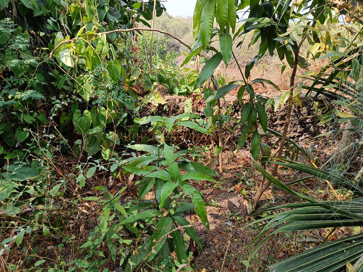
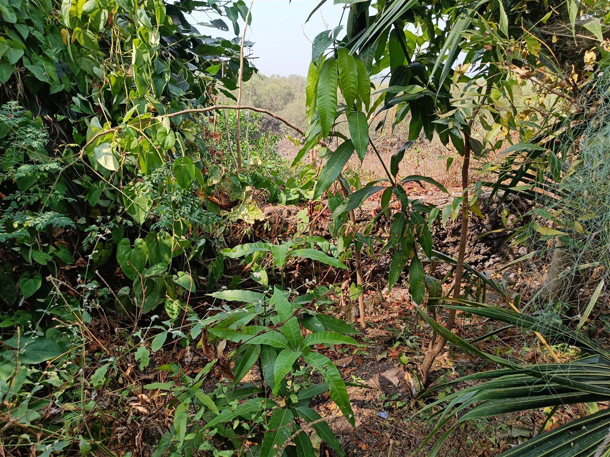
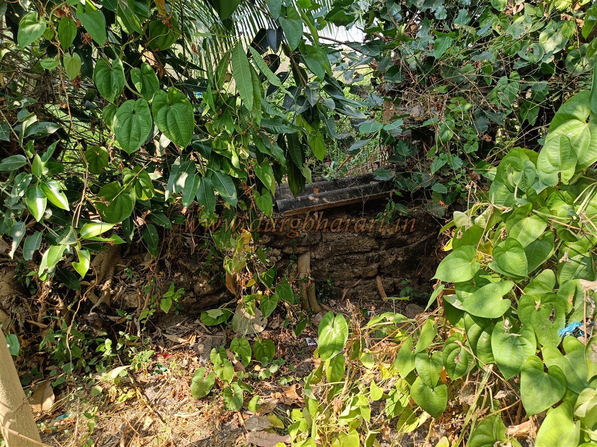
As one approaches Murbe village, before entering the village, on the left stands a closed petrol pump, followed by an archway leading to the Mahalakshmi Temple. Beside this arch, a tar road leads toward the creek. Following this road straight, without taking any turns, one reaches the edge of the creek through a local settlement. On the left side of this road, the last house of the locality has, just behind it, the only surviving wall of the fort, standing about 10 feet tall. A clue for identification is a set of five broken-down toilets located right in front of this wall.
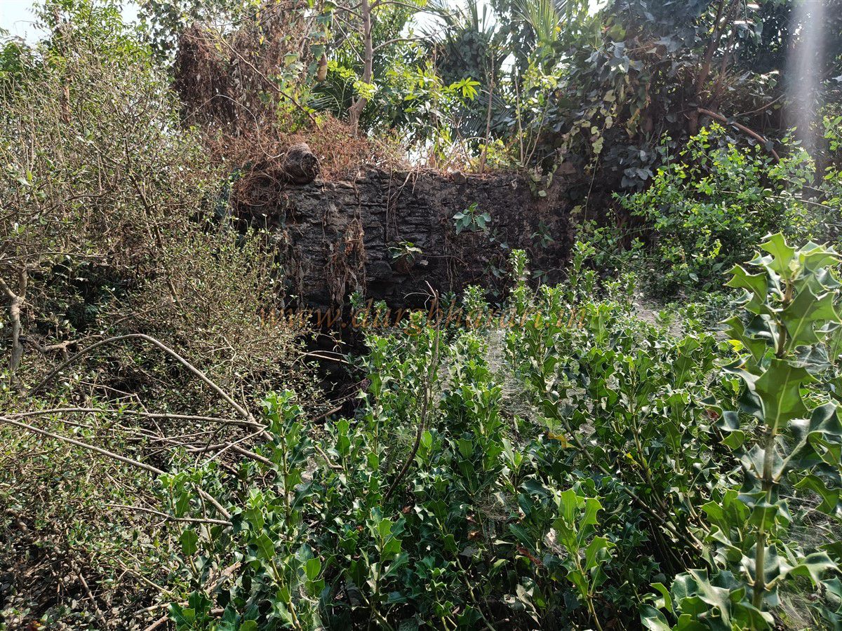
The fort wall is built with irregular stones and lime mortar. The rest of the fort lies there in a heap of rubble. One side of the surviving wall has been used to construct a septic tank for the house’s toilet. The entire area behind the house is swampy and overgrown with thickets, making it impossible to approach the wall directly. As a result, one has to complete their fort exploration by merely viewing it from a distance.
It is believed that this fort was built by the Portuguese sometime during the 16th century, along with other small forts in the region. The primary purpose of such forts was surveillance and protection of the coastal waterways. This particular fort was likely used to monitor traffic along the creek and to restrict incoming boats using long-range cannons. All of these were small forts equipped with watchtowers and long-range cannons, enabling the Portuguese to establish maritime dominance across North Konkan.
During the 1739 Vasai campaign, this region came under Maratha control, and with that, Portuguese dominance in the area ended permanently.
© Suresh Nimbalkar
GALLERY