MORGIRI
TYPE : HILL FORT
DISTRICT : PUNE
HEIGHT : 3540 FEET
GRADE : HARD
Lonavala is a city bustling with tourists from Mumbai and Pune. Nowadays, due to the tent accommodations available for overnight stays near the Pawna Dam area, even the less desirable type of tourists have started frequenting the region, and their presence is now evident on forts like Lohgad, Visapur, Tung, and Tikona. However, one fort that still remains detached and unknown is the Morgiri Fort. Since there is no historical record of this fort and because it falls into a somewhat difficult trekking category, no one other than dedicated fort enthusiasts ever attempts to visit it. As there are limited public transport options in the area, it is more convenient to use private vehicles. Today, we are going to explore this unfamiliar fort.
...
The ascent to Morgiri Fort happens in two stages, and there is only one path leading to the summit. A vast plateau spreads at the base of the fort, and there are multiple approaches to reach it. The village of Morave, situated at the foot of the plateau, is the nearest settlement to the fort and offers the closest access. Another path branches off near the Essar Agritech Company on the way to Tung Fort, but it is not frequently used. To reach Morave, a bus runs from Talegaon at 9 AM, 12 noon, and 5 PM via Kamshet, Pawna nagar, and Javan. Additionally, a bus departs from Swargate for Morave at 12 noon, but it is not very convenient. Alternatively, one can reach the base of the plateau via Ghusalkhamb from Lonavala. The distance from Kamshet to Morave is 33 km, from Lonavala via Ghusalkhamb its 23 km, and from Pune via Paud, Javan, Ajivali, to Morave its 63 km.
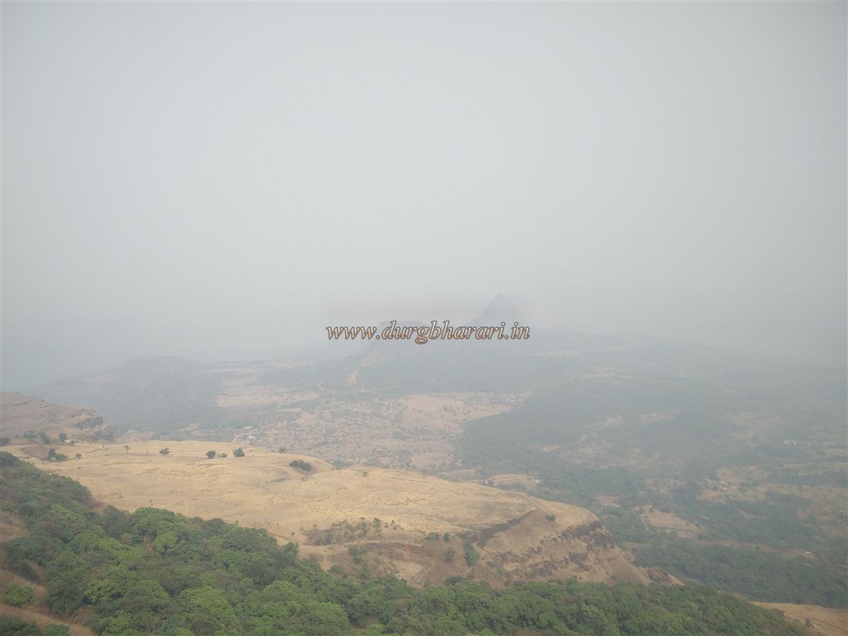
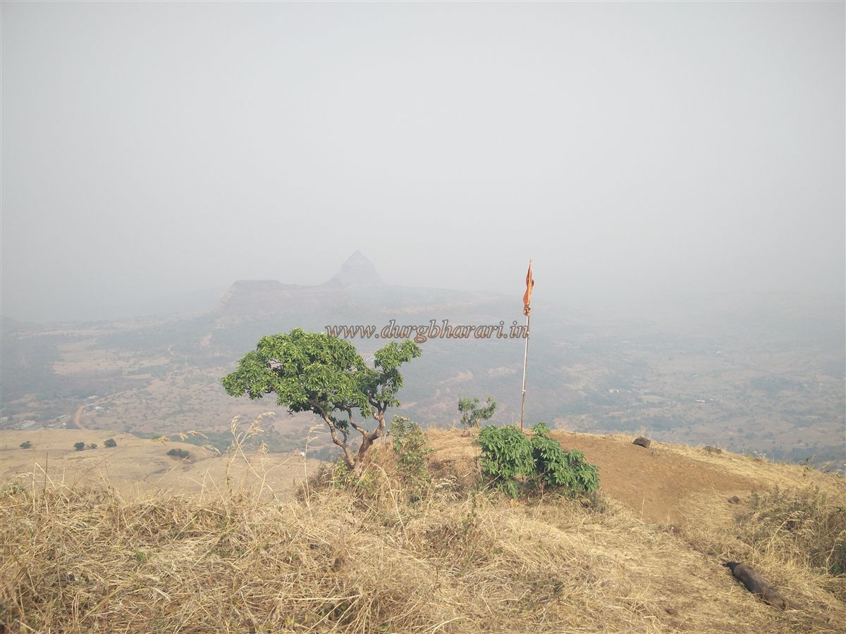
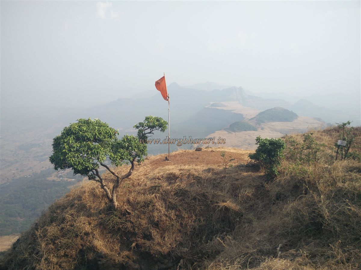
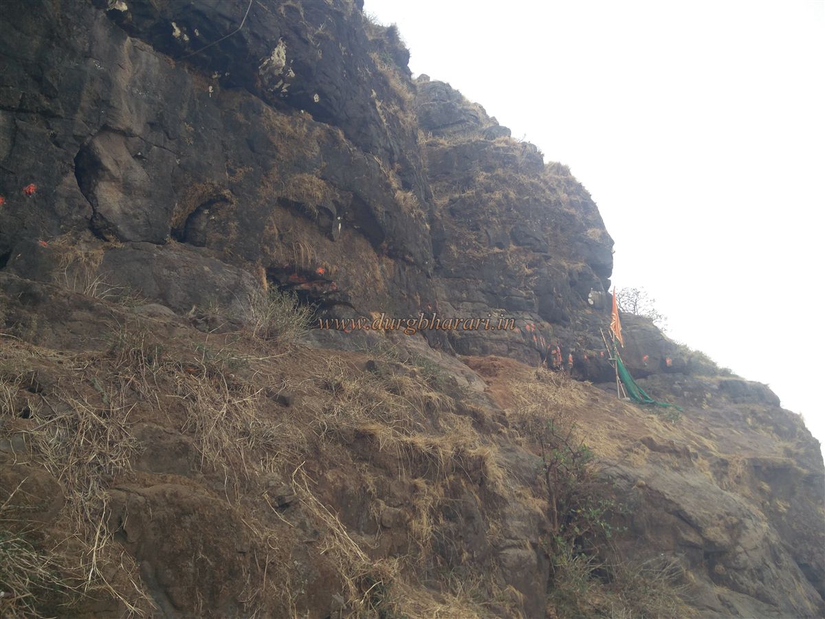
From Morave village, one can easily spot Morgiri Fort and the saffron flag atop it. About 2 km before reaching Lonavala from Morave, there is a housing complex called Brahma heaven. Just before this complex, a tar road turns left toward the hills. A signboard of Katyayani Upvan is seen there. Continuing on this road, a dilapidated hotel appears on the left, and a dirt track climbs uphill to the right. This dirt road leads directly to the base of the mountain, and if you have a vehicle, it can go all the way to the end. Where the road ends, a clearly marked trail enters the forest. This path descends into a gully in 10 minutes. Starting the climb from this gully, one reaches the plateau within half an hour. From here, through thick foliage to the left, the elongated summit of Morgiri Fort stretching south to north and the flag flying atop it are visible.
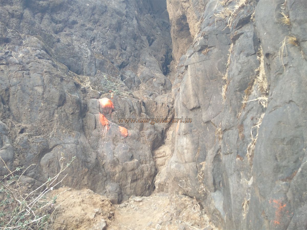
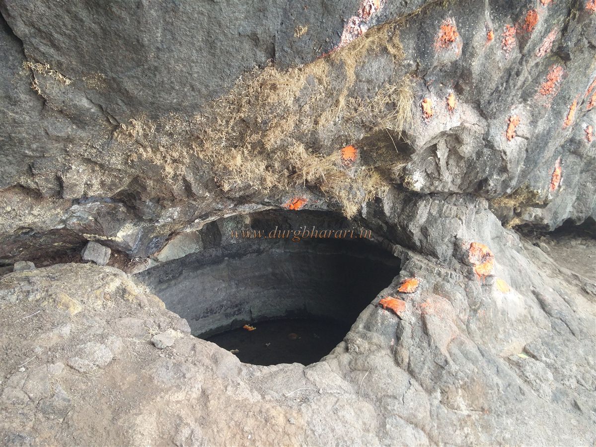
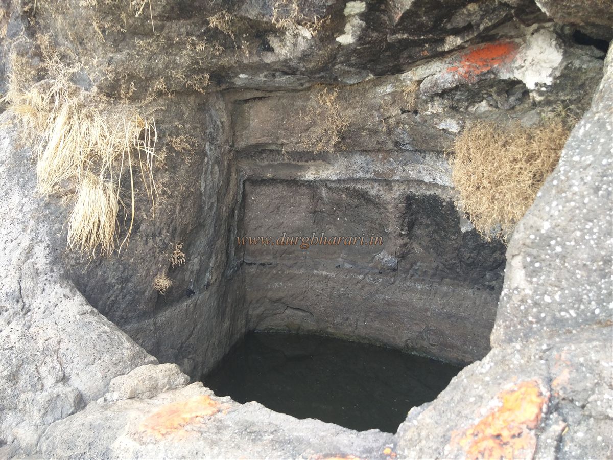
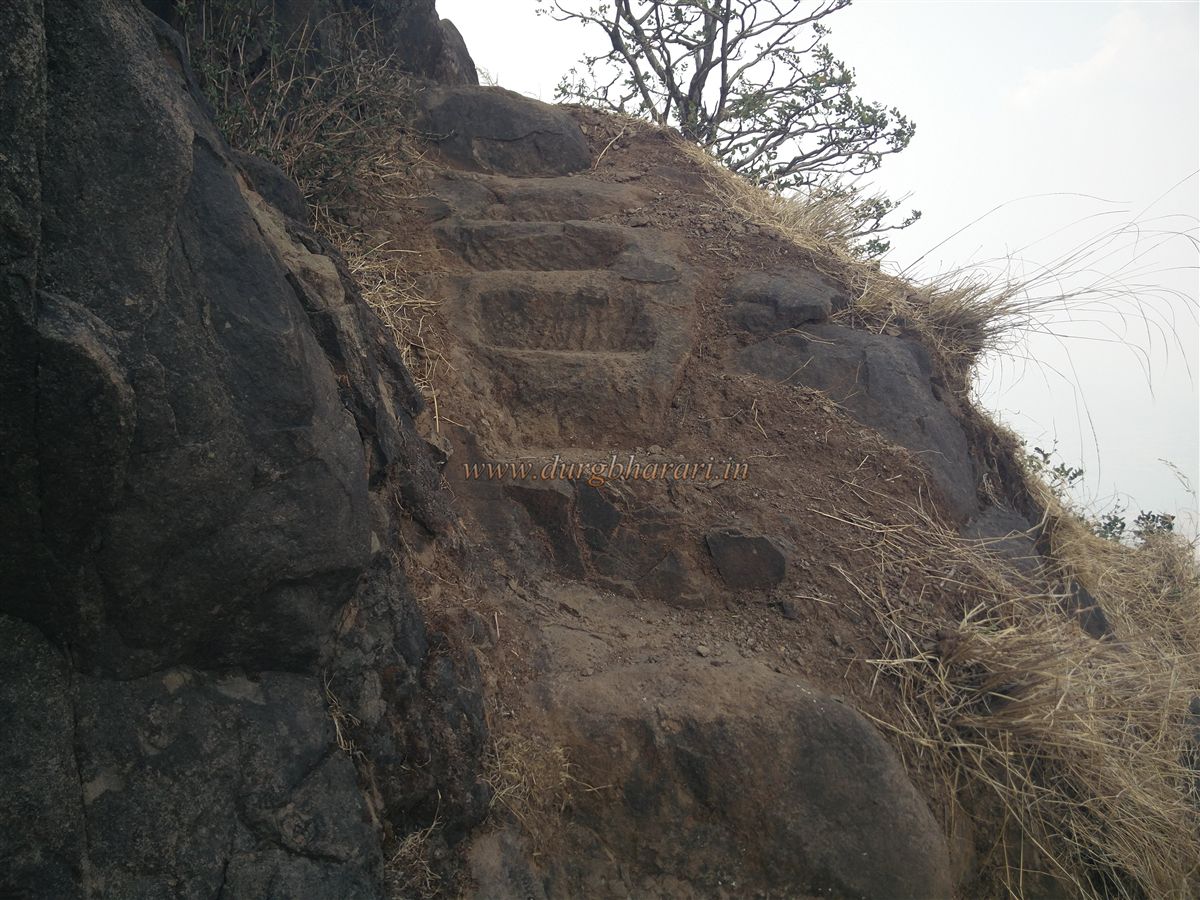
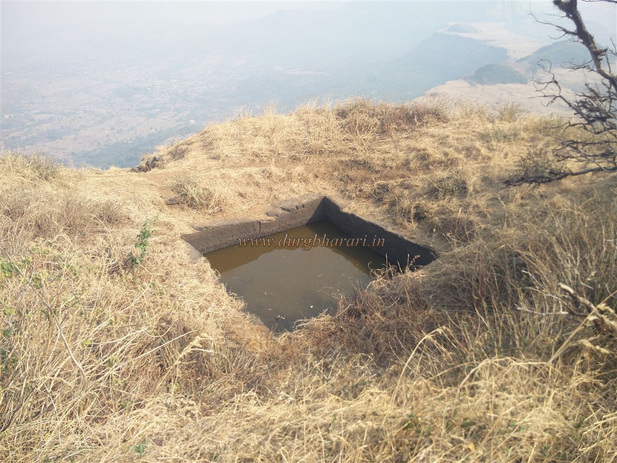
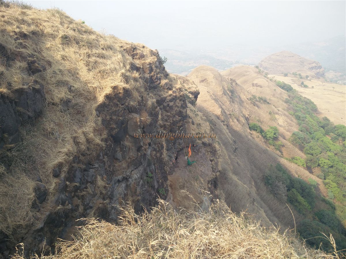
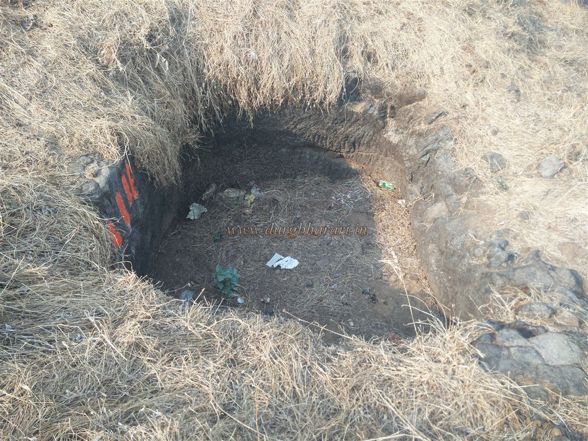
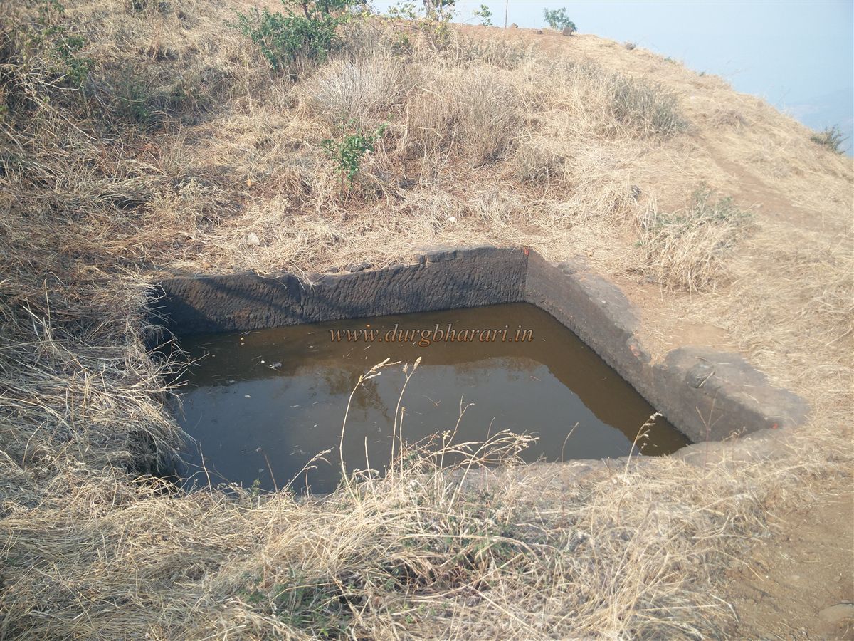
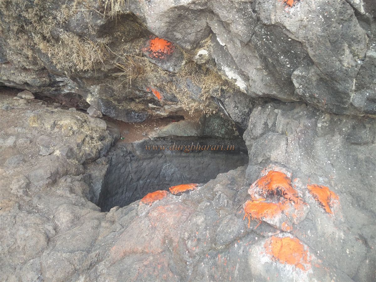
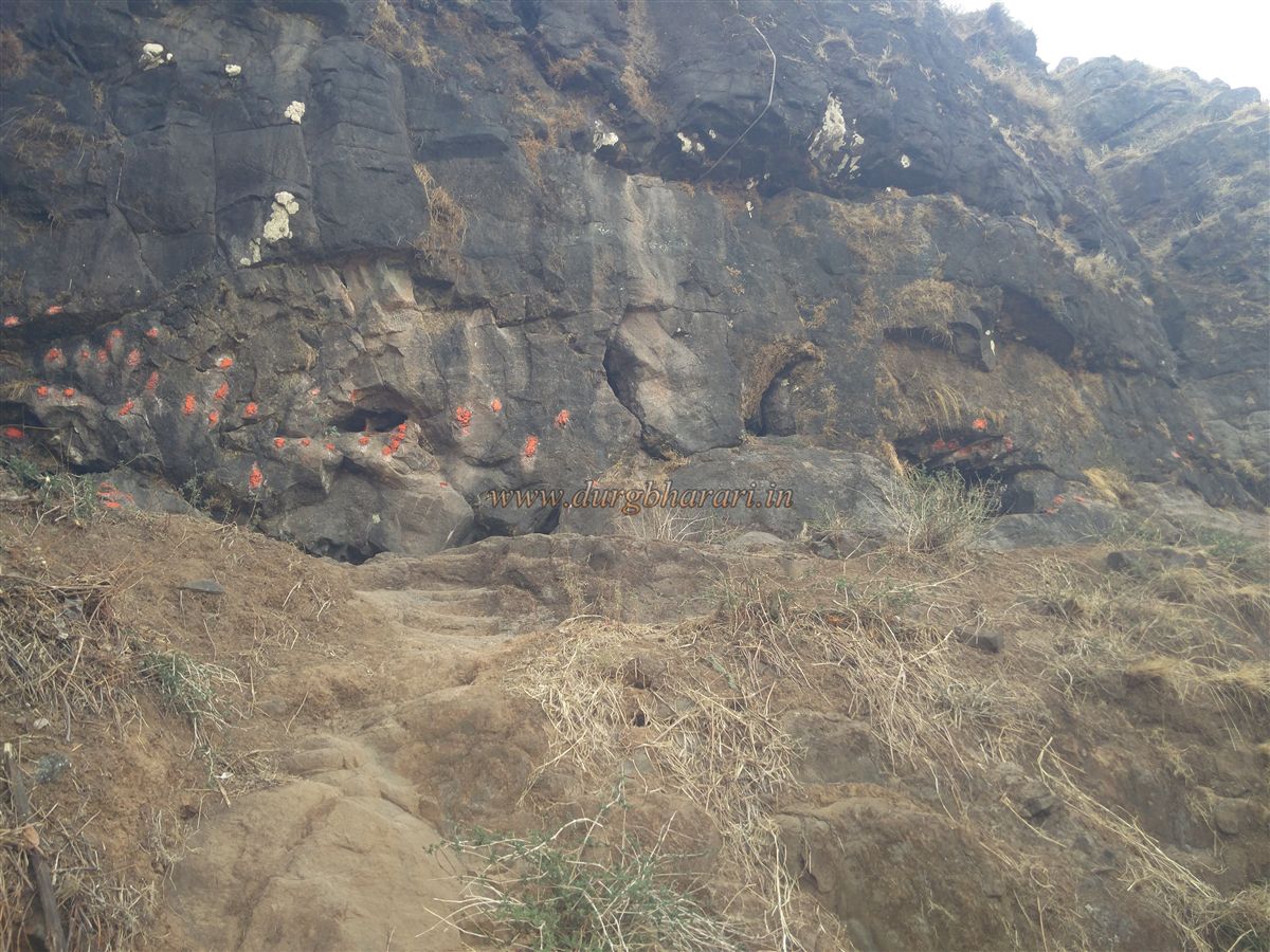
From the plateau, keeping the mountain to the right and the valley to the left, one starts walking along the trail. After about 10 minutes, one reaches the southern ridge descending from the fort. A pile of stones forming an arrow marks the way. The path from here is steep, and the initial five minutes go through dense forest. The remaining climb of about 30 minutes is sharply inclined and quite exhausting. At one point, the trail is slightly broken, and for safety, it is advisable to use a rope. After reaching the base of the rocky summit, one encounters 4–5 rock-cut steps. Climbing these leads to a water tank carved in rock. A second tank lies a little further ahead. Though both tanks contain water, it is not potable.
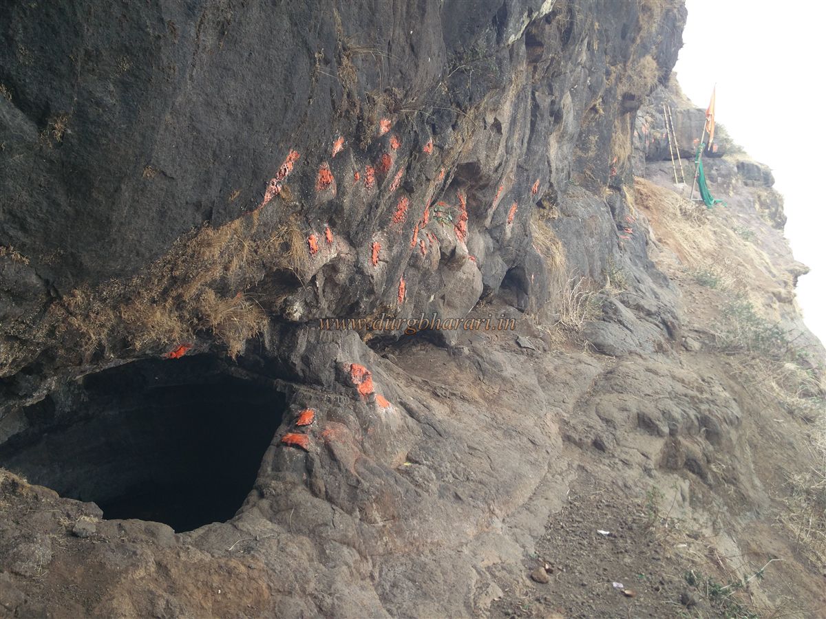
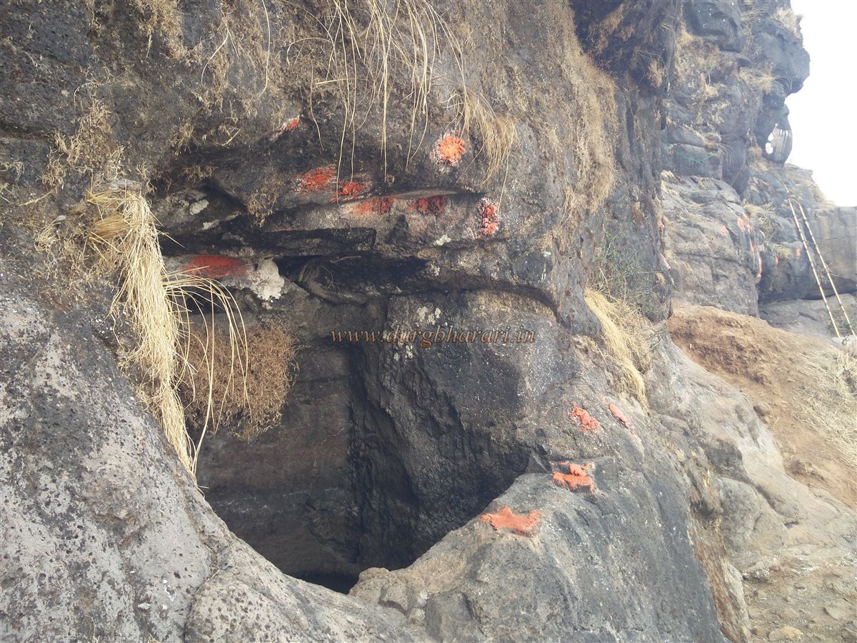
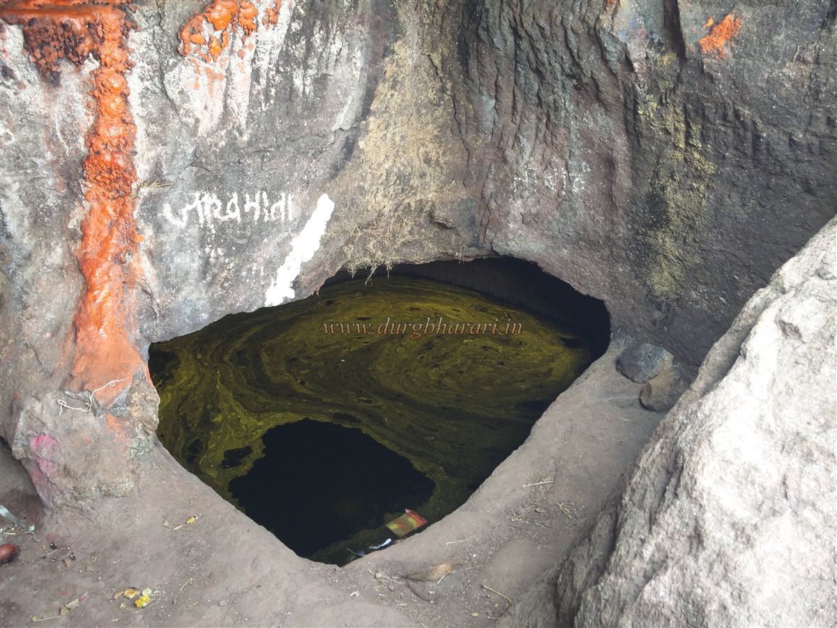
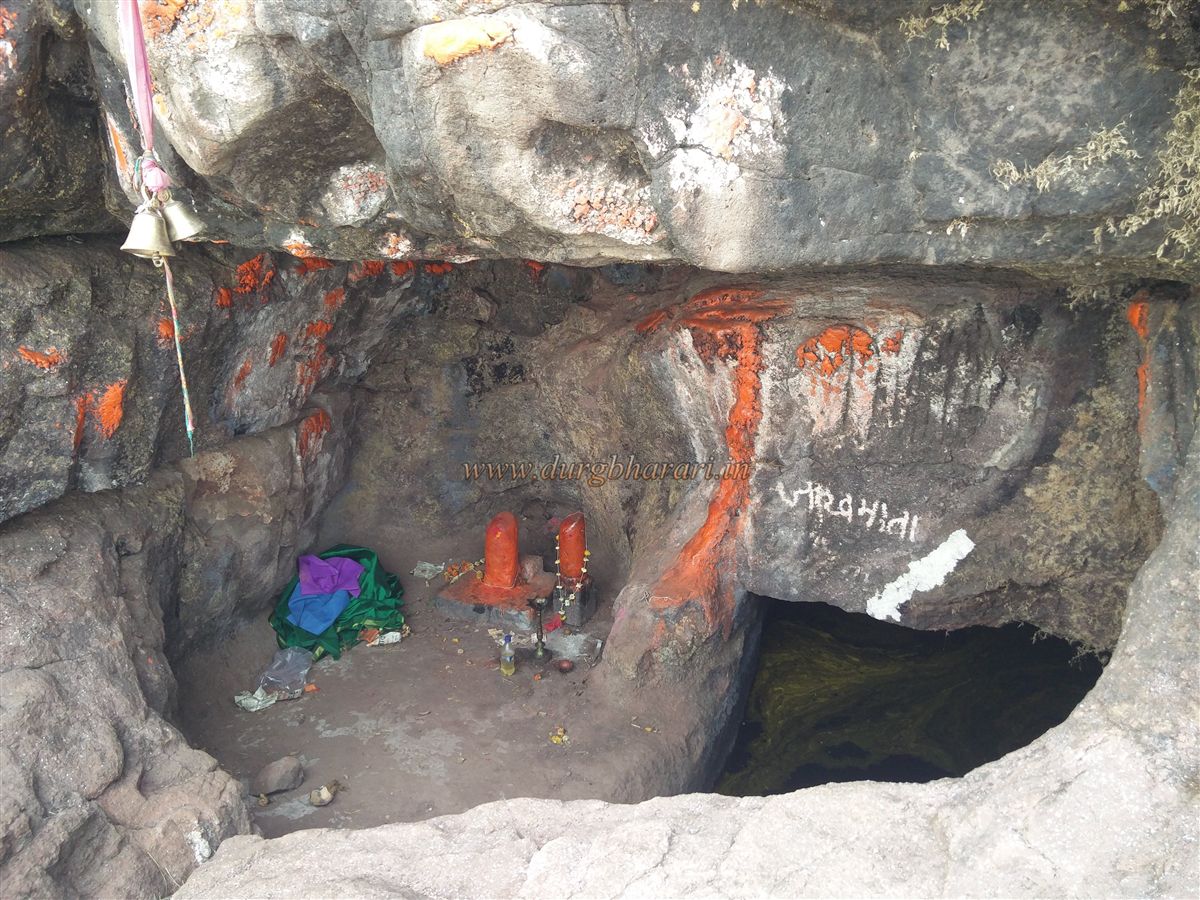
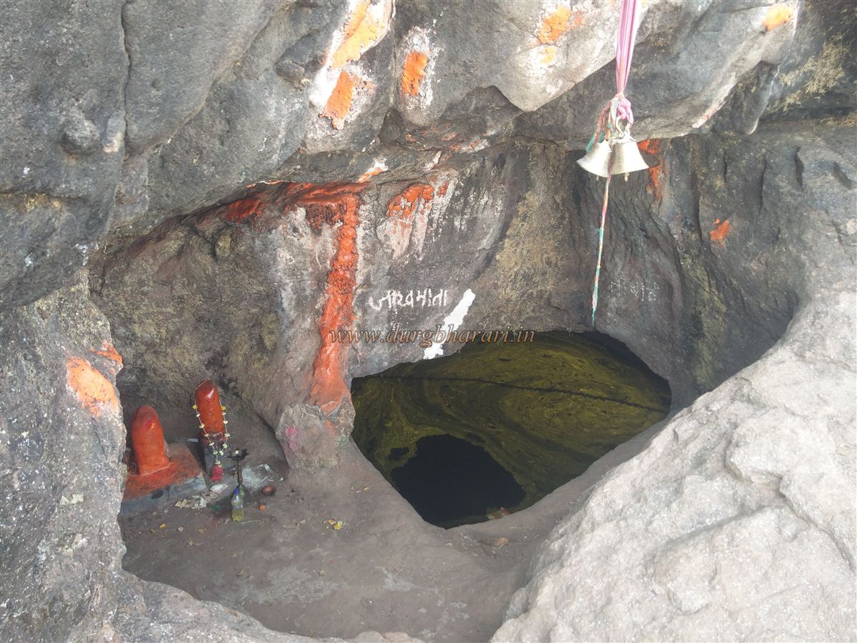
From here, a narrow ravine descends from the summit, but there is no path to climb up from it. Moving cautiously in the direction of the visible solar light, one reaches a small cave. This cave houses the shrine of goddess Jakhmata, with a neatly placed bundle of rice grains in place of an idol. The cave can accommodate 4–5 people and contains a water tank. Although moss floats on the surface, the water inside is drinkable. The steps to the right of the cave are broken. Earlier, one had to do a rock climb from here to reach the summit, but now a 10-foot iron ladder has been installed, making the ascent easy.
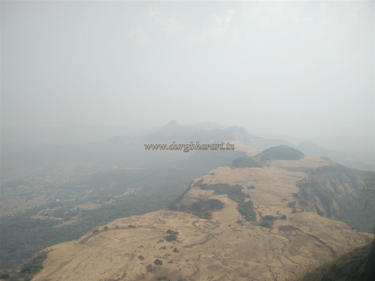
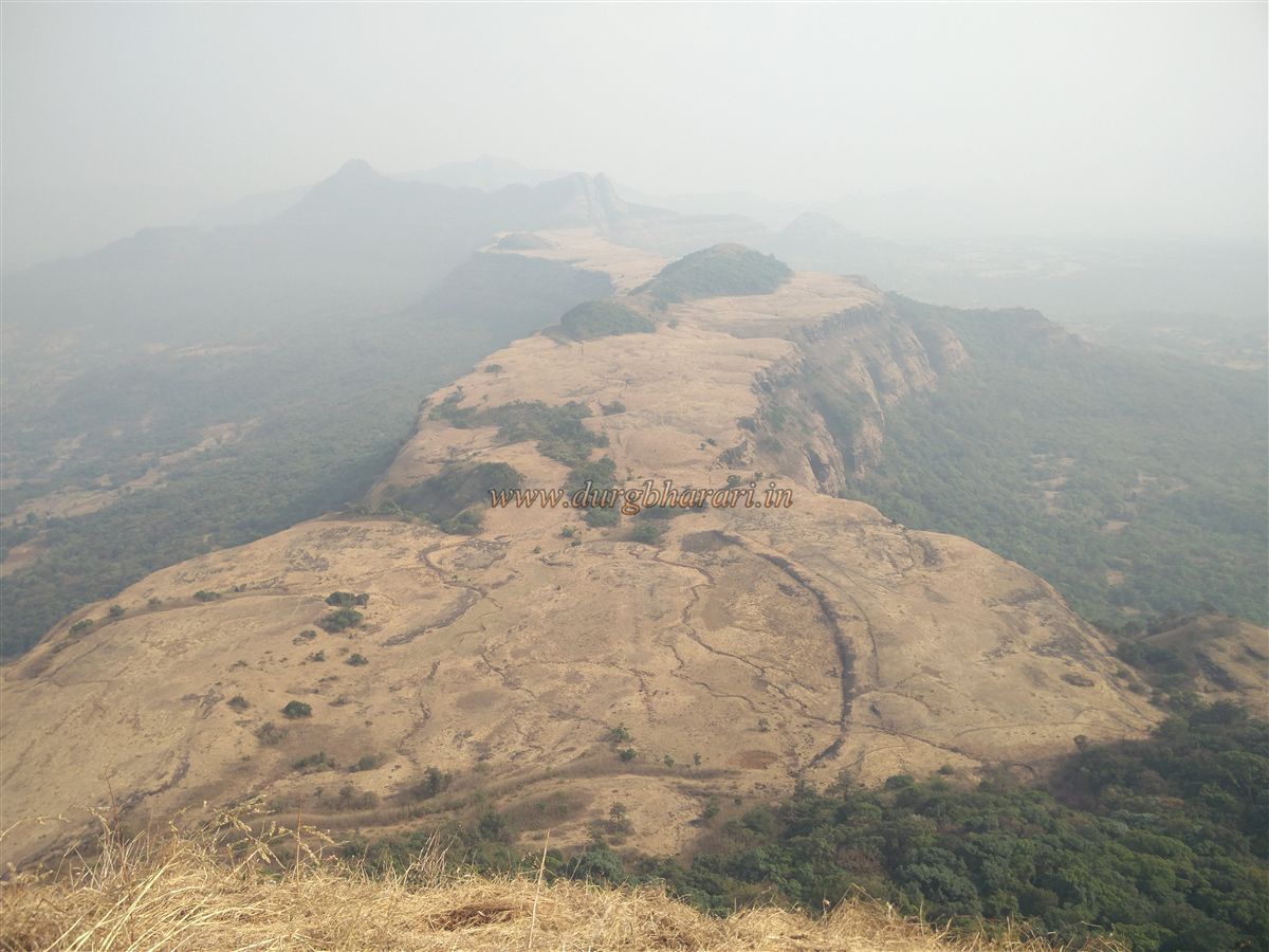
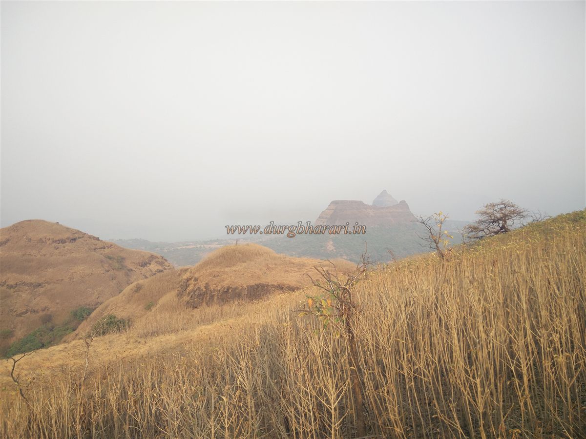
After climbing the ladder, 8–10 rock-cut steps appear ahead. Climbing these and the next short stretch brings one to the summit of the fort. The entire climb from the base takes about one and a half hours. The summit lies at an elevation of 3,540 feet above sea level and spans roughly half an acre. On the top, one can see remains of some old houses hidden in the thickets and two rock-cut water tanks. One of these tanks contains non-potable water, while the other is dry. There are no visible remnants of bastions or fortification walls. Exploring the summit takes about 10 minutes. From here, one gets panoramic views of Kailas gad, Ghangad, Telbaila, Korigad, Rajmachi, Lohgad, Visapur, Tung, Tikona forts, and a vast surrounding landscape.
Though situated on the main Sahyadri range, the broad plateau at the base of the fort is a distinctive feature. Judging by the location and remains on the fort, it was likely used as a watch point for monitoring passes like Kurvanda, Ambenali, Paymodi, and Sav that connect the Konkan region to the Deccan plateau. The Peshwa records mention that peacock feathers from Morave were sent to Pune, but whether this Morave is the same one at the base of Morgiri Fort remains uncertain.
Note: Since there is a tricky rock-climbing section on Morgiri, it is advisable to use a rope for safety. Avoid this trek during the monsoon, as it is dangerous, and if attempting it in other seasons, go only with experienced trekkers.
© Suresh Nimbalkar
GALLERY