MORDHAN
TYPE : HILL FORT
DISTRICT : NASHIK
HEIGHT : 3327 FEET
GRADE : MEDIUM
While walking around the hill fort, you may wonder why you call this hill a fort as there are no ramparts or fortifications on that hill. There are no cisterns or the remains of structures or any other thing that depict the hill as a fort. Then why bother in such a place, the only answer to this is because they are there. One of such forts is the Mordhan fort of Khairgaon near Ghoti. Nashik has been known as a market for a long time. In ancient times, goods from Kalyan, Sopara, and Dahanu ports used to come to this market through various wharf routes. Shirghat is one of the wharves that has been forgotten today. Mordhan is a watchtower on this road. Mordhan and Kavanai forts were one of the forts which were built in a line on the wharf to keep an eye on it and the road coming to Nashik. Khairgaon is a village at the base of the fort and the distance from Deola fork on Ghoti-Shirdi road on Mumbai-Nashik highway is 135 km.
...
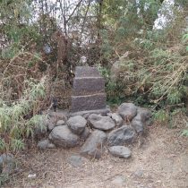
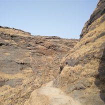
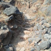
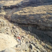
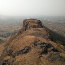
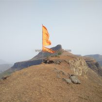
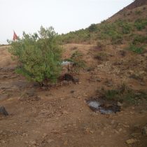
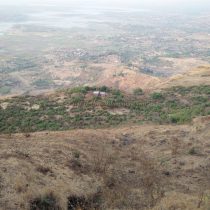
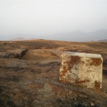
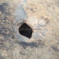
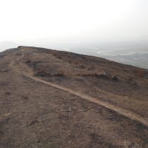
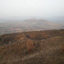
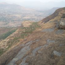
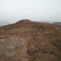
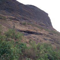
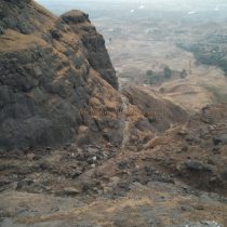
On the way to Khairgaon from Deola fork, one can see a submarine-shaped hill on the left side. In Khairgaon, this fort is known as Moradongar. Mordhan fort is a hill on the plateau of Mora mountain. The plateau of Mora mountain is unevenly spread, but the hill of the fort on this plateau is small in size and steep. To reach the fort, you have to climb both the hill as well as plateau. The way to the fort is from the Bhairavnath temple in the village. When you reach the temple premises, you can see an idol of Ganesha and a Shivling and Nandi beside it in the open. On the way to the plateau, at some distance from the village, on the left side, you can see the remains of a Samadhi (hero stone) in the bushes. On the plateau below the fort, the villagers are taking the goats and cattle to graze, so the path is visible as it is being used very often. Although it is very slippery up to the steep hill. This path takes a detour to the ridge and goes up to the plateau through the gorge of two mountains. At the entrance to the plateau, some remnants can be seen. It takes about an hour and a half to reach the plateau from the foothills. On reaching the plateau, one can see the steep hill spread north-south of Mordhan fort in front, while on the left side one can see the saffron flag fluttering on the steep plateau. Below the fort, at the other end of the plateau, another saffron flag can be seen placed on a tree. There are a temple and an ashram in this place and there are two small springs. The water of one of these springs is drinkable although the water in the other spring is consumed by the cattle on the plateau. To reach the fort, one has to cross the hill from the plateau to the right. The sign to identify this path is a ridge on the upper side of this path. There are a large number of cowherds on the plateau. In the last stage of this path, a large number of fallen stones of the ramparts can be seen. Half an hour is enough to reach the fort from the plateau. The height of the fort is 3510 feet above sea level and it is spread over 8 acres from south to north. On the way to the other end of the fort, you can see some recently built cement quadrangle structures. There is a water cistern carved in the rock but it is currently filled with mud. On the way, the path is carved in the rock, and in front of it, the remains of some houses can be seen. On the left side of the road, there are some remains of a mansion, and on the right side, there is a rainwater harvesting lake but now it is filled with mud. At the end of the fort, you can see the remnants of the watchtower and this is where your fort round ends. The blow of wind is constant while on the fort. From the top of the fort, Kalsubai Dongar, Alang, Madan, and Kulang forts can be seen on the east and Kavanai and Tringalwadi forts on the north. Since there is only one place for drinking water in the spring on the plateau, water should be kept with yourself. It takes 2 to 2.5 hours to reach Mordhan fort from Khairgaon. Considering the location of the fort and its remains, the Mordhan fort must have been used for surveillance.
© Suresh Nimbalkar

