MOHANGAD
TYPE : HILL FORT
DISTRICT : PUNE
HEIGHT : 3660 FEET
GRADE : MEDIUM
Where there is a mountain pass, there is usually a fort — this has been a long-established idea since ancient times. One of the important mountain routes connecting the Konkan region’s Raigad to the Deccan plateau’s Pune is the Veranda Ghat. To guard and monitor this historically vital pass, forts like Kavlya and Mohangad were constructed. Among these, the forgotten Mohangad, also known as Jaslodgad — or locally referred to as Durgadi or Janani’s Hill — was brought to light in 2008 by Sachin Joshi from Pune.
When asking locals for directions, one should refer to the fort as "Durgadi Fort" or "Janani's Hill," as the official name "Mohangad" is still unfamiliar in this region. A reference to Mohangad Fort in the Hirdas Maval region appears in a letter written by Chhatrapati Shivaji Maharaj to Baji Prabhu Deshpande in 1659.
...
However, the exact location of this fort remained unidentified for a long time. Due to this, many assumed that the Kavlya fort was the same as Mohangad or Jaslodgad — and some researchers still hold this view. Once Sachin Joshi realized this discrepancy, he studied the ruins on Janani’s Hill and, using criteria for fort architecture, presented a research paper to the Bharat Itihas Sanshodhak Mandal identifying this site as the true Mohangad.
To visit the Mohangad/Jaslodgad Fort from Mumbai, one must travel via Mahad to reach the Varandha Ghat. The distance from Mumbai to Varandha Ghat is 192 km. From there, Shirgaon is another 8 km away. After crossing Shirgaon, a turnoff to the right leads to the village of Durgadi. If coming from Pune via Bhor, this turn comes before Shirgaon, on the left. Durgadi, the village at the foot of the fort, is 4.5 km from Shirgaon. The total distance from Pune to Durgadi via Bhor is 102 km, but the road from Bhor to Varandha Ghat is in poor condition.
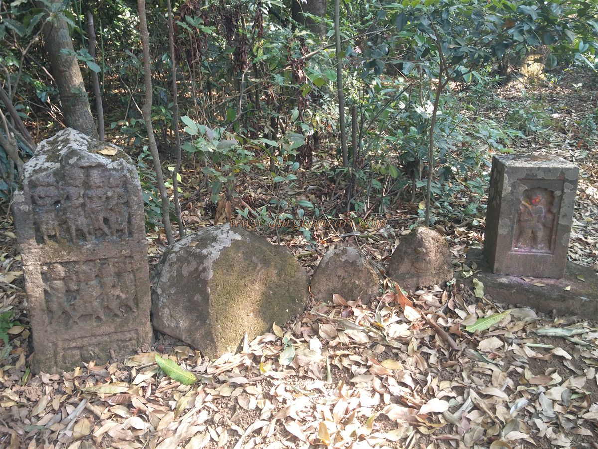
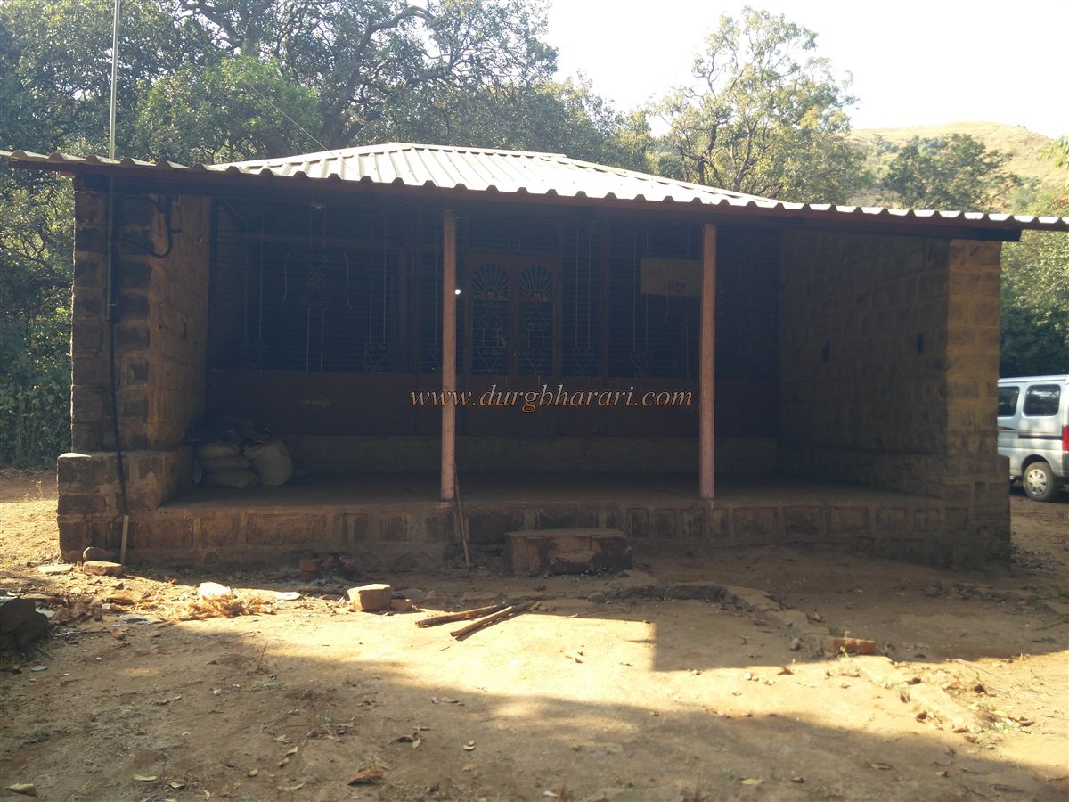
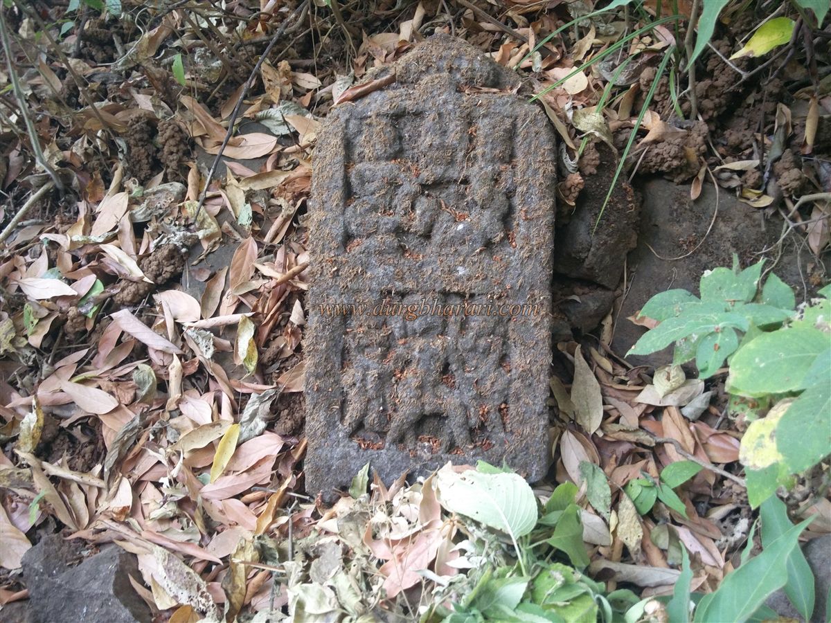
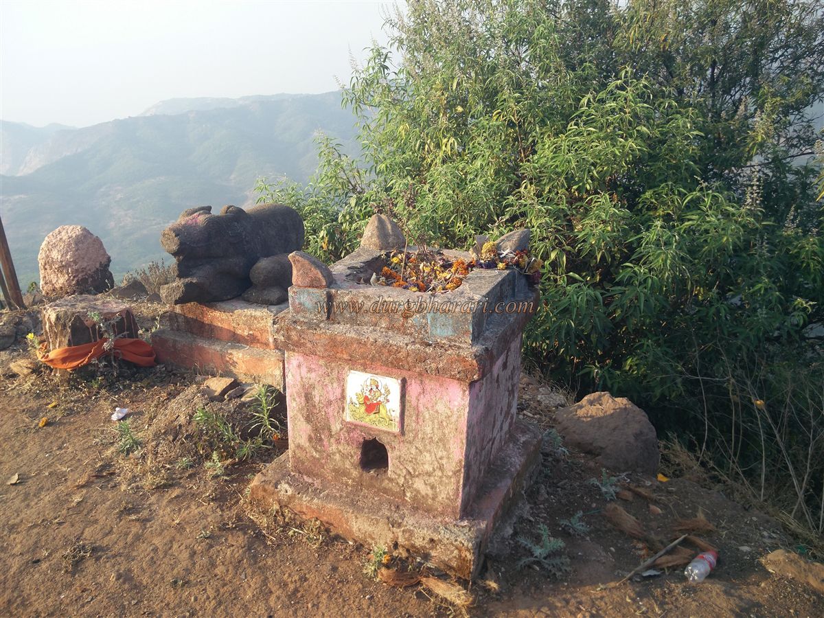
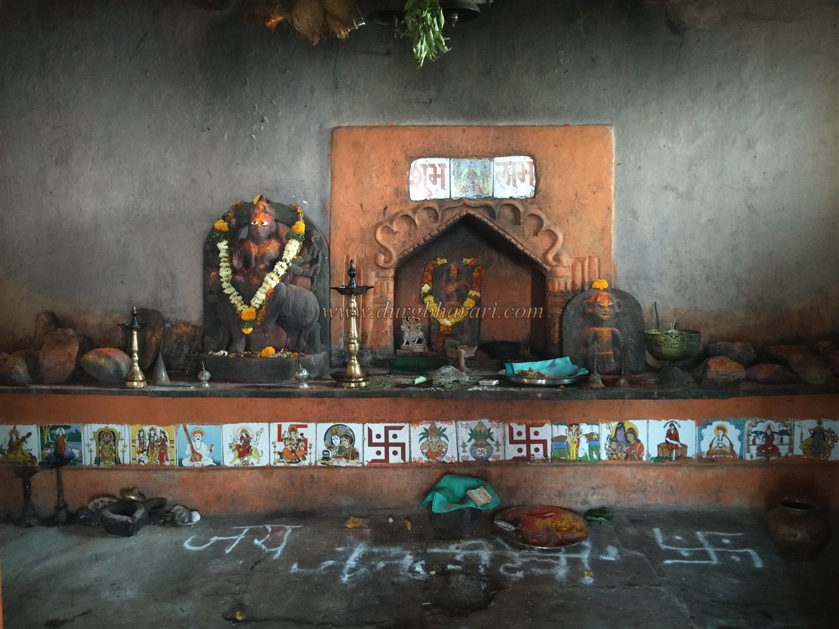
Upon reaching the Hanuman temple in Durgadi village, a dirt path to the right leads to the temple of Janani Devi, located on the hill behind the village. The temple, recently built by the villagers, is about 1.5 km away, and one can drive up to it by private vehicle, saving about half an hour of climbing. The temple is suitable for overnight stays, although there is no water source. In the temple premises, one can see some carved idols and hero stones (virgal). A trail behind the temple leads to the fort of Mohangad. Since villagers frequently use this path, it is well-worn.
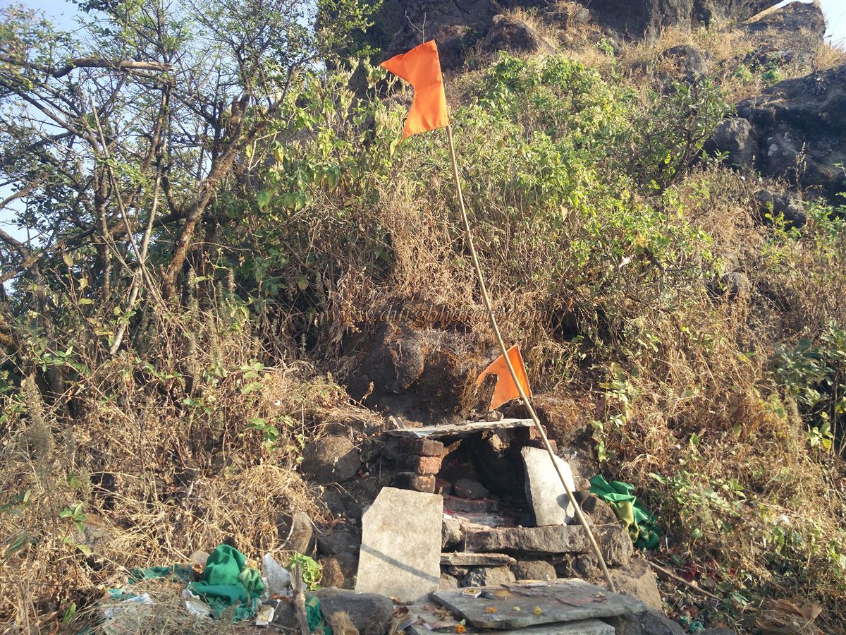
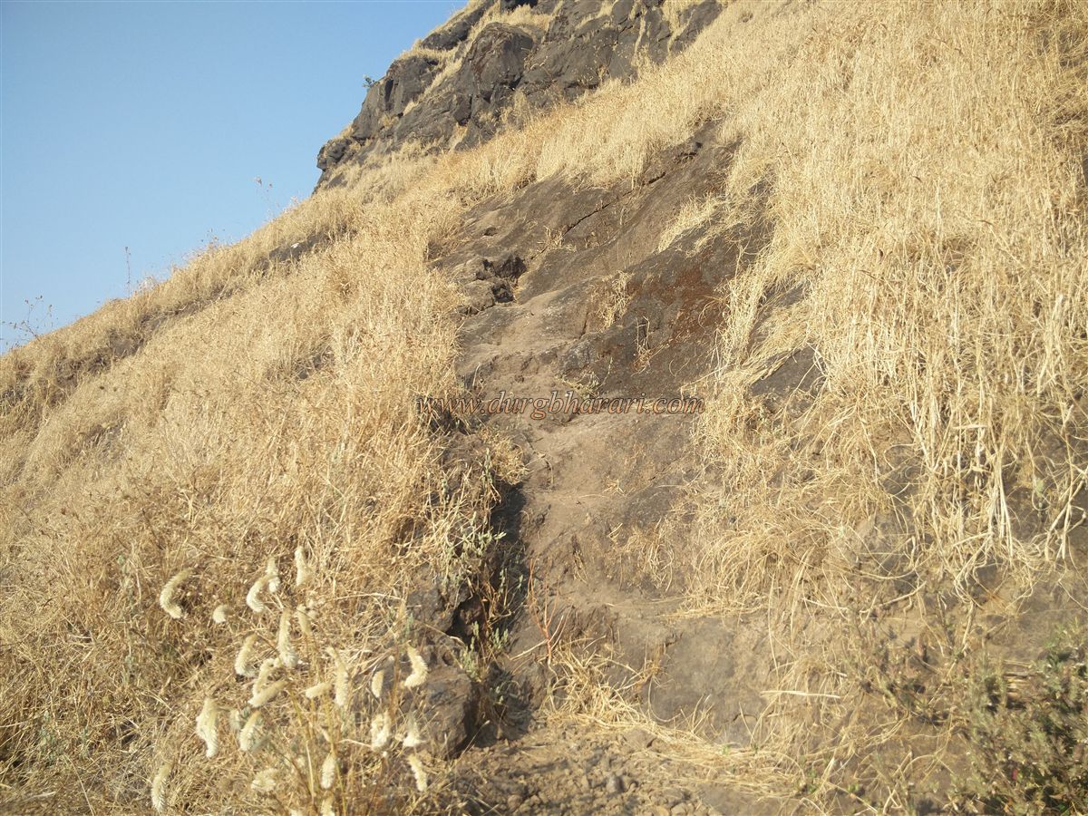
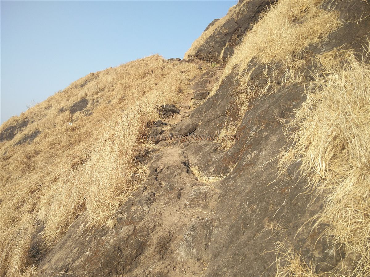
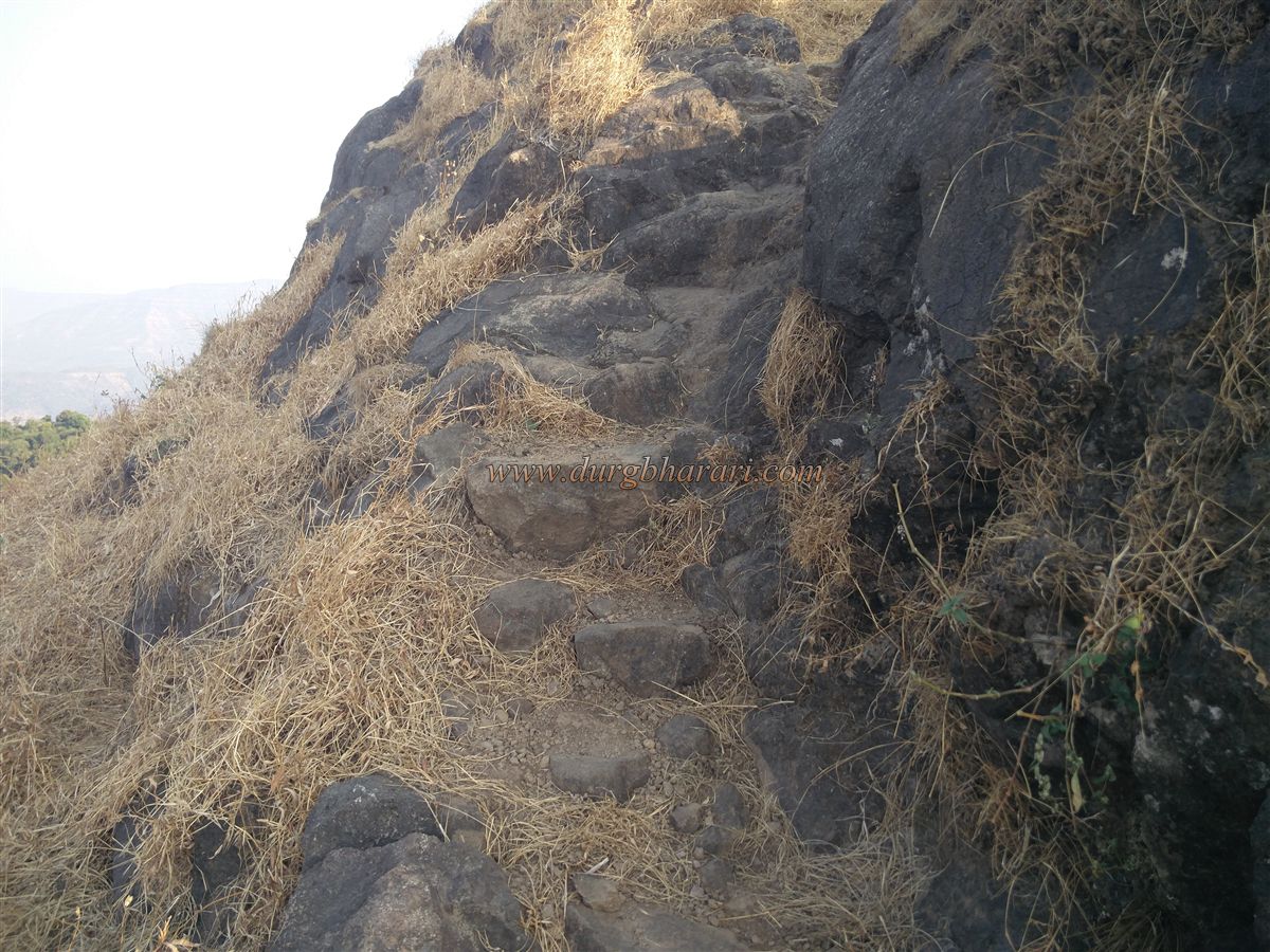
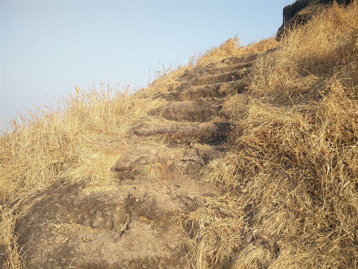
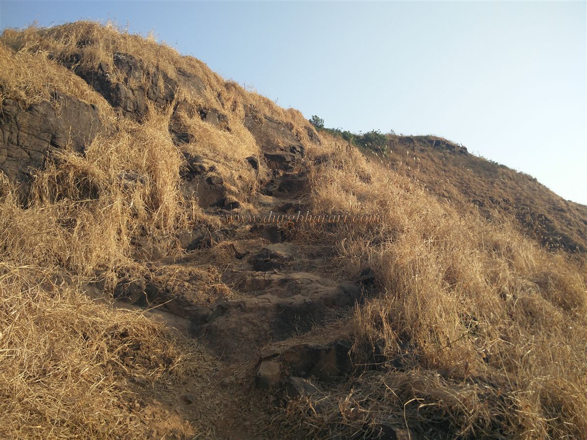
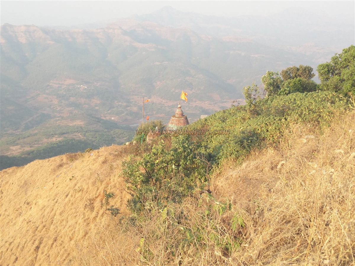
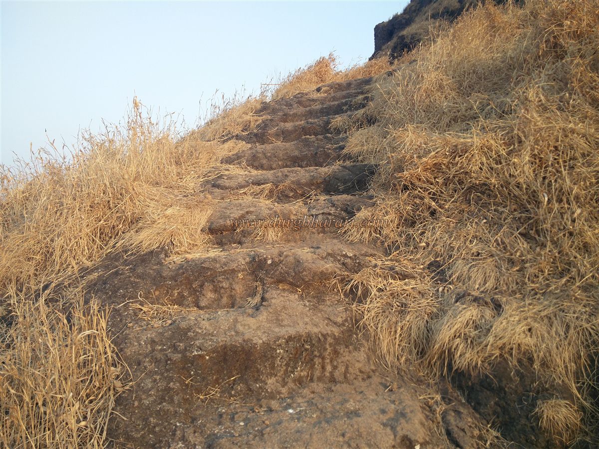
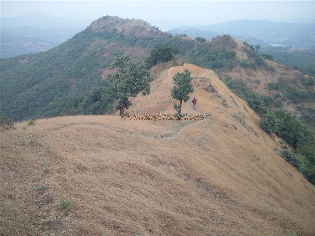
After a short climb, one can see the fort's ridge stretching north to south. One ridge extends eastward and descends into a pass on the left — this is the route to the fort. At the pass, a hero stone is visible, and the trail from Shirgaon meets here. A directional arrow marks the path to the fort. From here, one must cross a few plateaus to reach the base of the hill on which the fort sits. There is no direct trail to the fort — instead, one must circle the hill through dense forest to reach the far end. At that point, villagers have built a small shrine. The alternative trail from Shirgaon also leads here. From this point onward, there is only one path to the fort, which runs along the cliff edge. The ascent includes narrow rock-cut steps, carved foot-holds, and a rocky path hewn directly into the cliff. Within 10 minutes, one reaches the temple of Janani Mata.
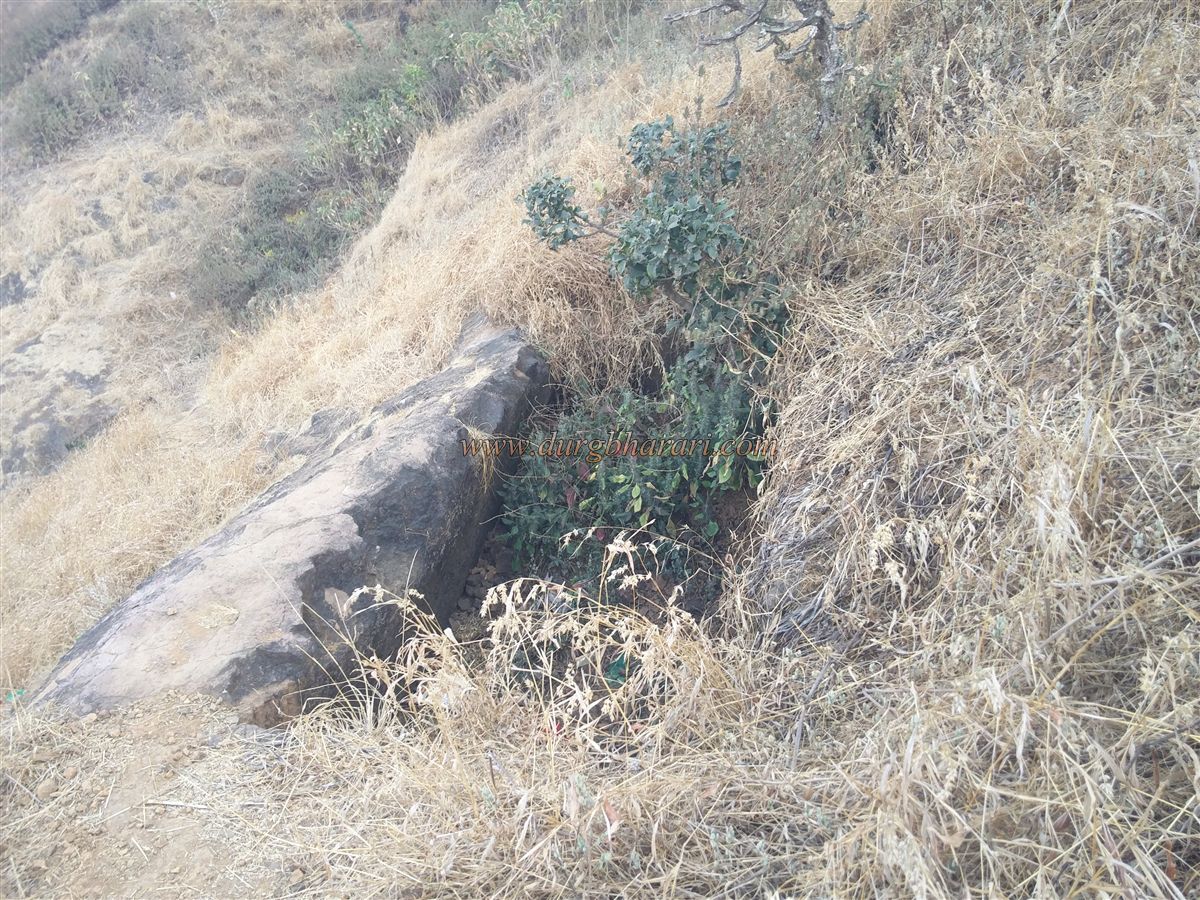
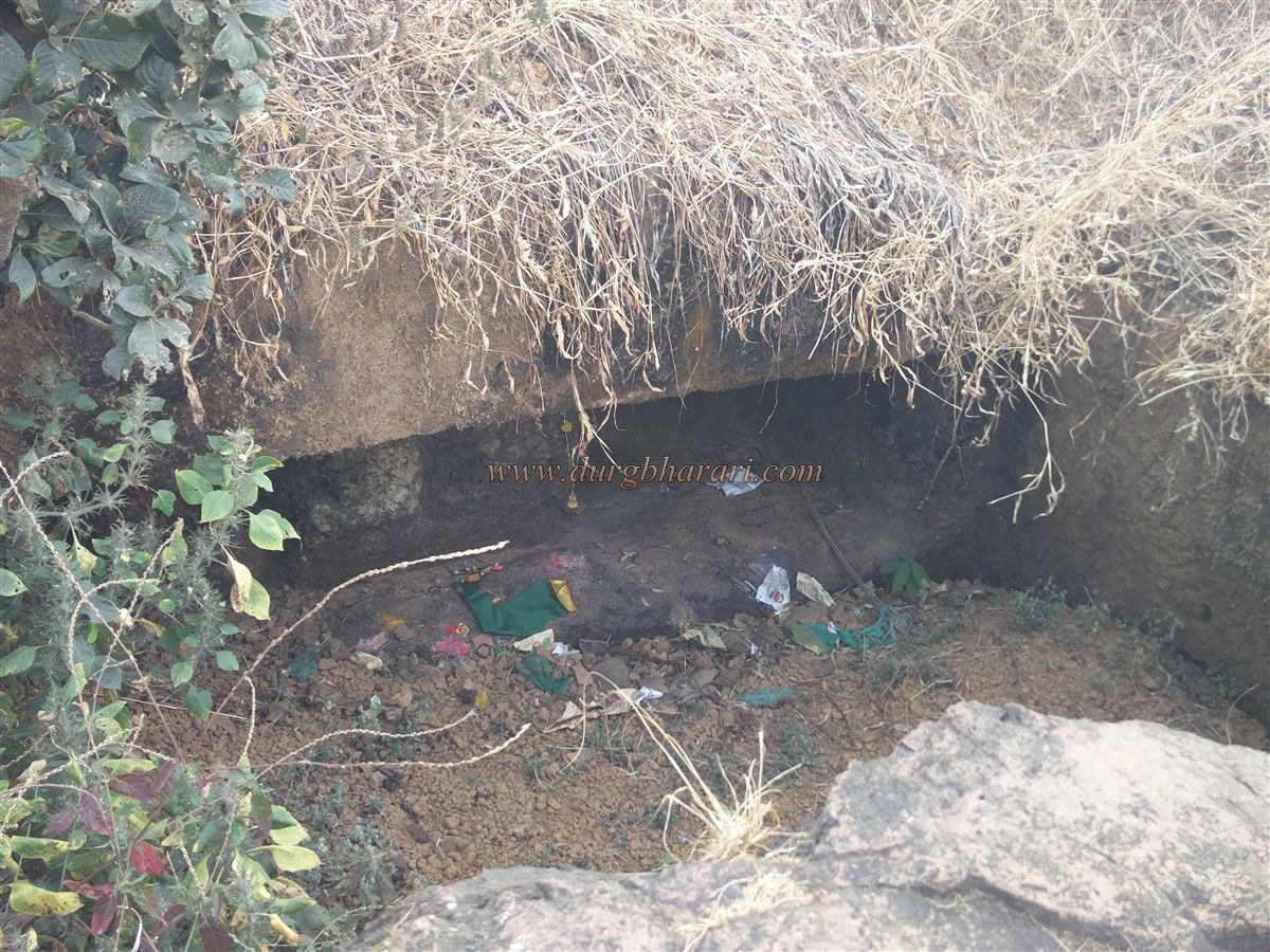
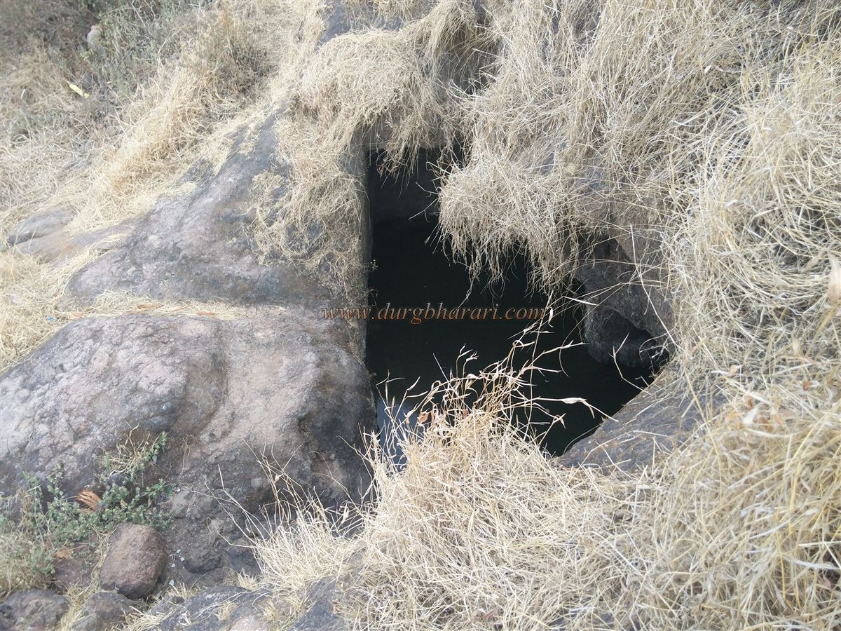
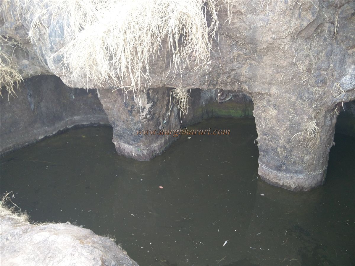
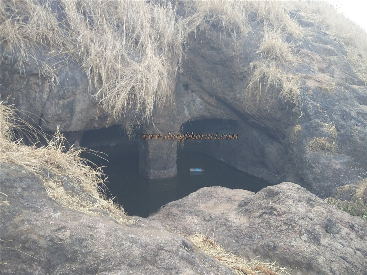
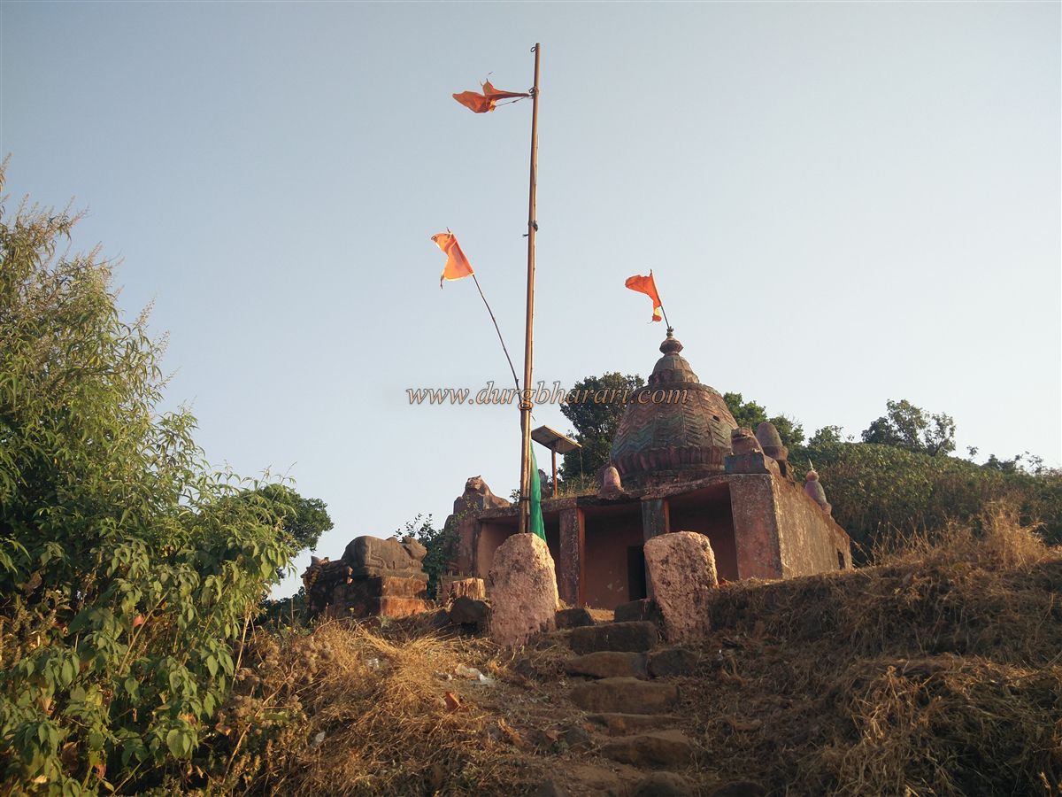
Just before reaching the temple, a trail branches to the left and descends to three water tanks carved into the rock. Two of them are filled with mud, while the third — known as Kham Bataki — contains drinkable water. Inside this tank, two carved pillars can be seen. After visiting the tanks, one returns to the Janani Devi temple. The full climb from the base to the temple takes about 1.5 to 2 hours. If staying overnight, the temple can accommodate 4–5 people. The temple houses a beautiful carved idol of the goddess, along with a Tulsi Vrindavan and a Nandi statue in the courtyard.
A trail behind the temple leads to the summit. Apart from a small platform hidden in the grass, no other remnants are visible on the summit. From the top, one can see the Hirdas Maval region, as well as Rajgad, Torna, Mangalgad, Kavlya, and the Raireshwar plateau.
There’s no flat area on the fort, nor are there any remains of fortification or bastions, making one question whether this place was ever a proper fort at all. According to archaeological researcher Sachin Joshi of Deccan College, this hill — known as Janani’s Hill — is the same as Jaslodgad or Mohangad, and likely dates back to the pre-Shivaji era. However, some senior historians argue that, due to the lack of flat terrain on Janani’s Hill, the fort known today as Kavlya is the true Jaslodgad/Mohangad.
The earliest documented reference to Jaslodgad (a.k.a. Mohangad) comes from a letter Shivaji Maharaj wrote to Baji Prabhu Deshpande on May 13, 1659, just before the Battle of Pratapgad during Afzal Khan's campaign. In the letter, Shivaji appoints Pilaji Bhosale as the fort commander of the abandoned Jaslodgad in Hirdas Maval, assigning him 25 soldiers. He instructs Baji Prabhu to rename the fort to Mohangad, build a commander’s residence, shelters for soldiers, strengthen the fort's defences, and only then proceed with other duties.
© Suresh Nimbalkar
GALLERY