MOHANDAR
TYPE : HILL FORT
DISTRICT : NASHIK
HEIGHT : 3385 FEET
GRADE : MEDIUM
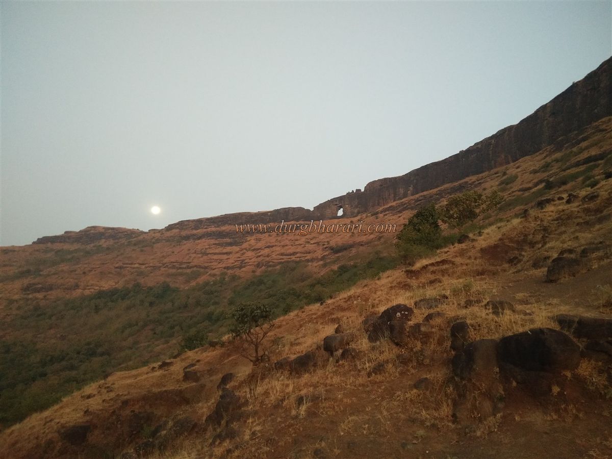
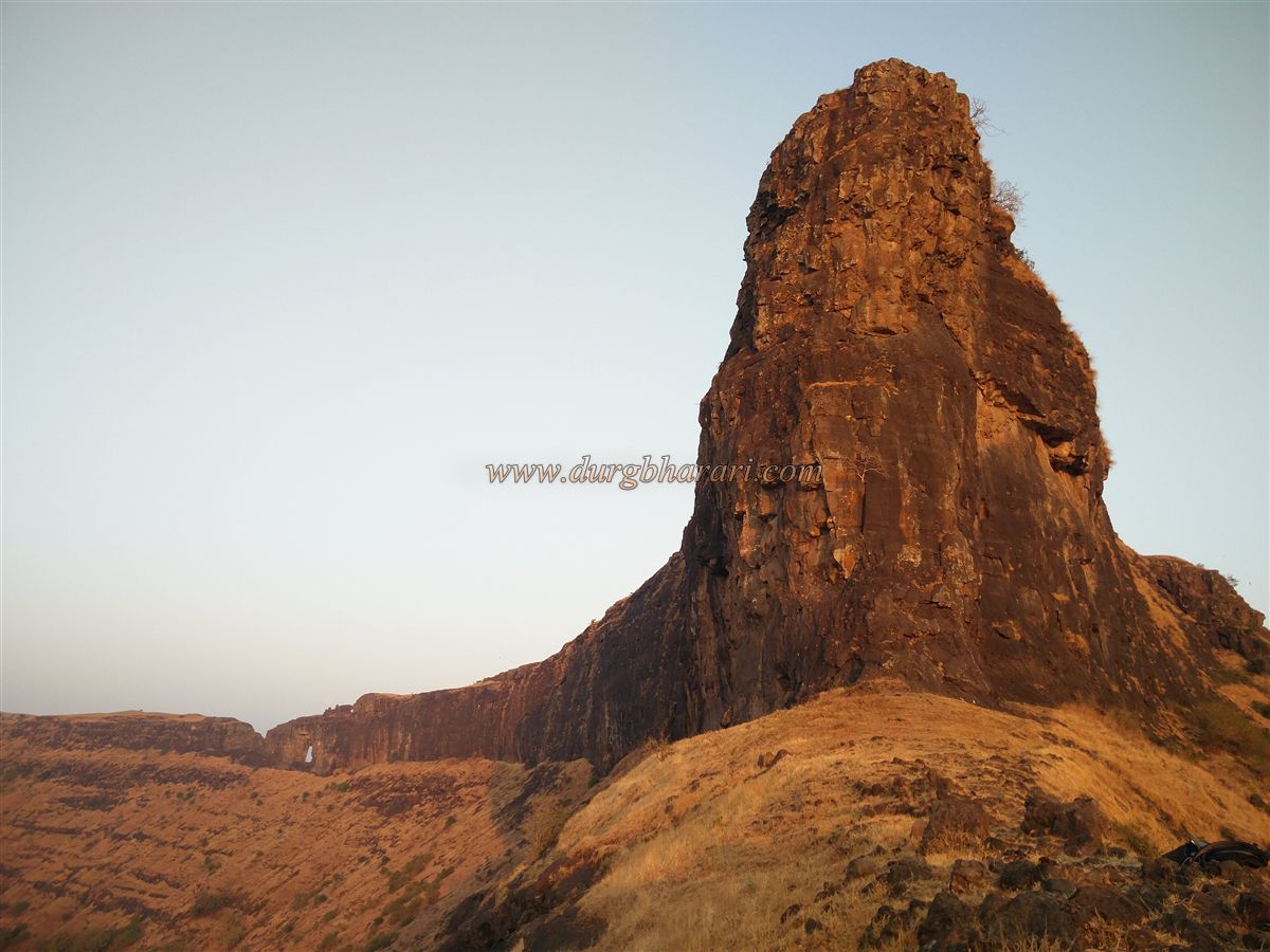
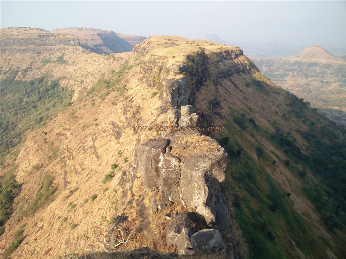
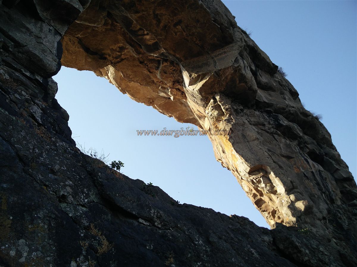
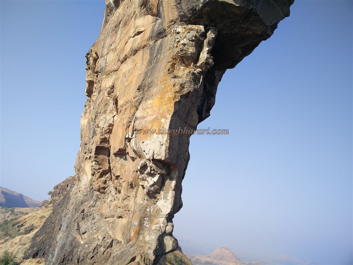
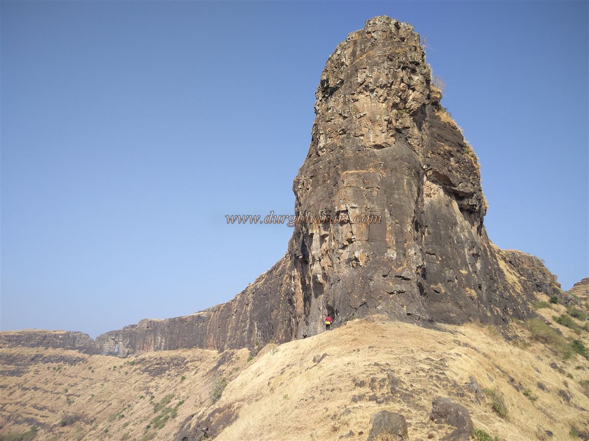
Each of the forts in Maharashtra has its own special identity. Some forts are famous for their history, some forts for their size, and some forts are famous due to the structures on them. Mohandar fort is located in the Satmala mountain range in Kalvan taluka of Nashik district and is famous for its natural wonder. The marvel in this fort is the needle hole in the hill. While exploring Maharashtra, you can see many needle holes in the mountains, but the needle holes in this mountain of Mohandar fort are very different and you have to visit Mohandar fort at least once to see it. Known in history as Shidka Fort, this fort is now known as Mohandar fort after the Mohandari village at the foothills of the fort. Explaining the origin of the name of Mohandari village, the villagers say that there was a large number of Moha trees in the eastern part of the village as well as in the valley of Supa in the west and also in the valley of these two hills, therefore the village was named after these trees.
...
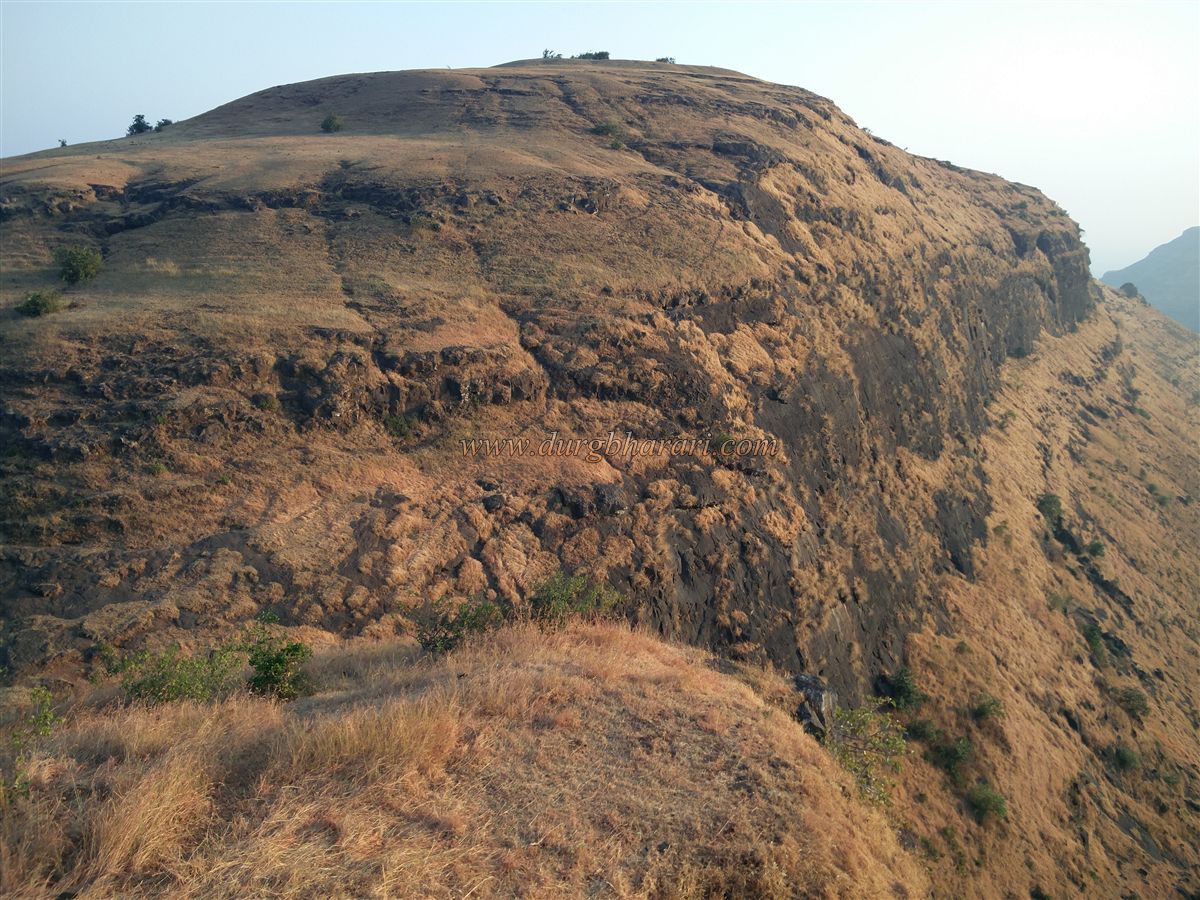
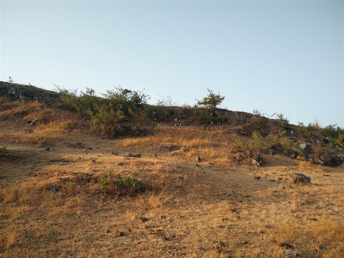
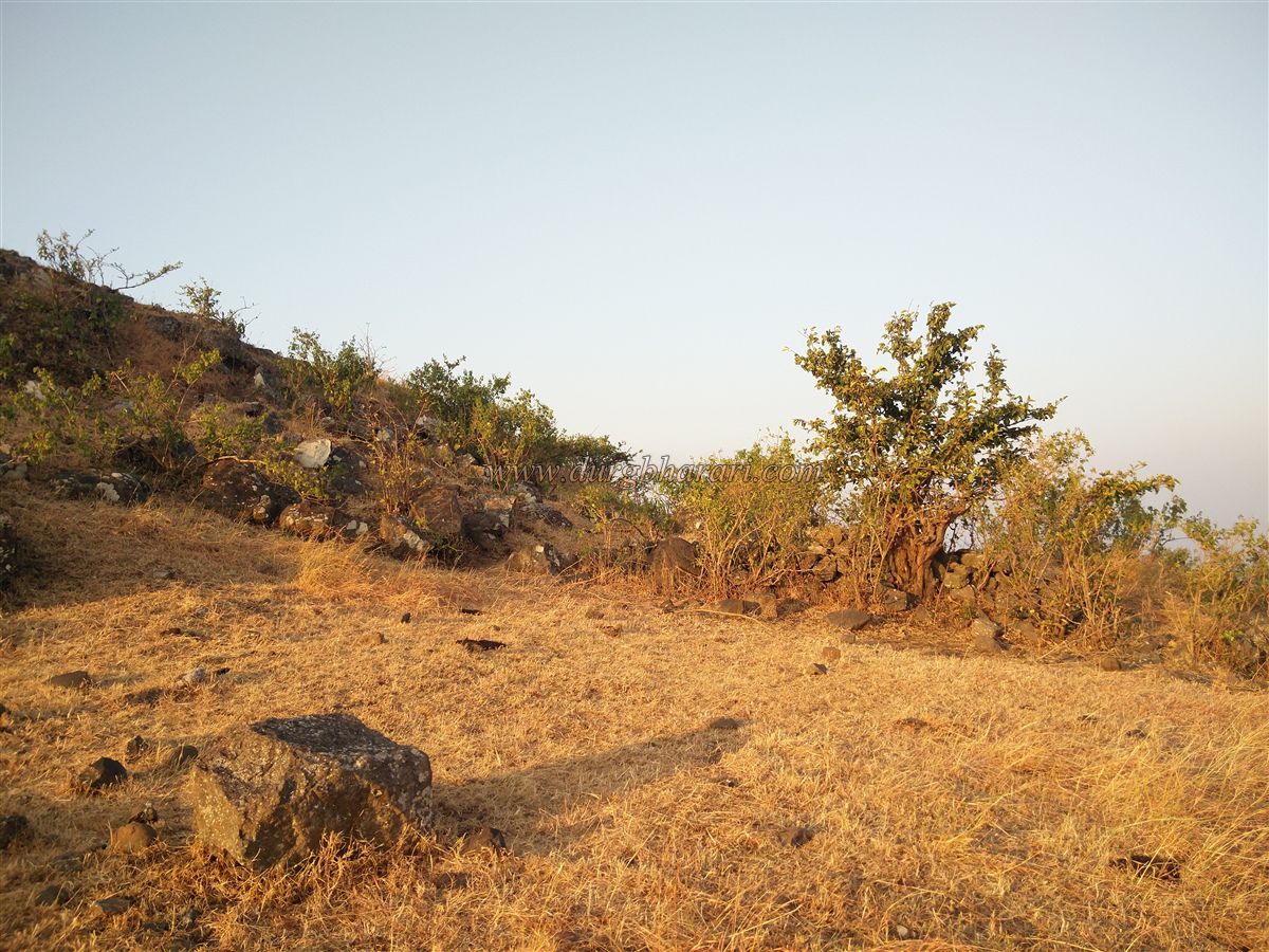
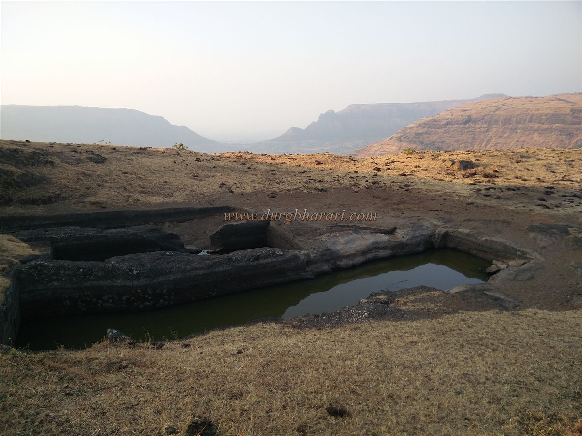
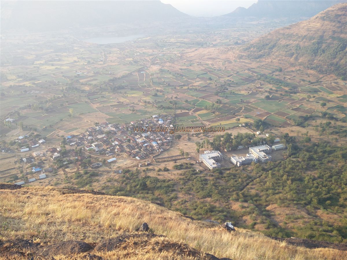
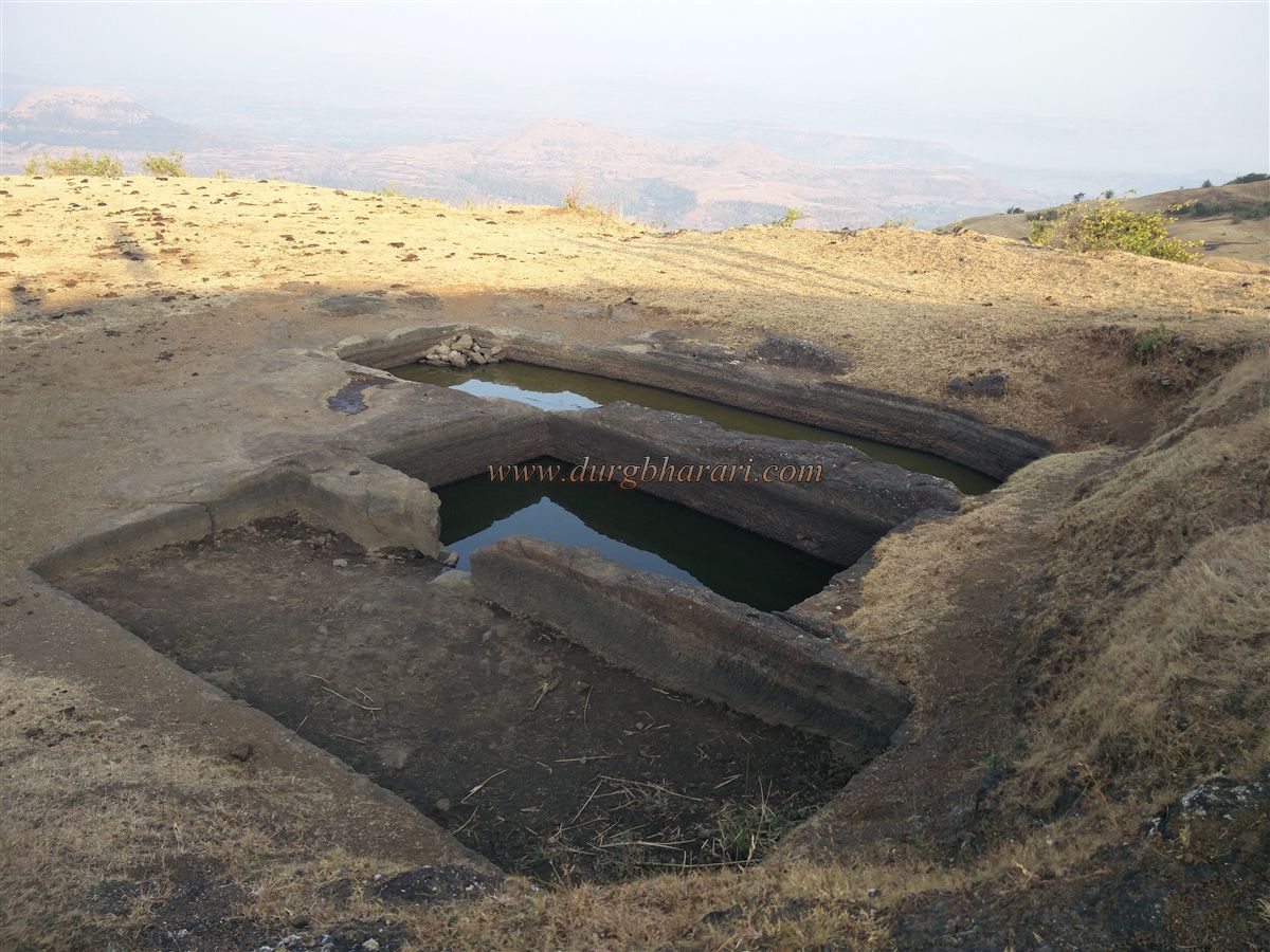
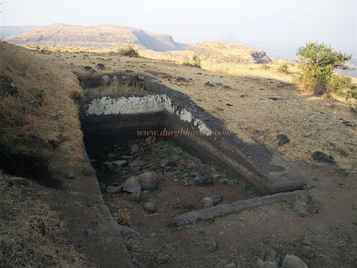
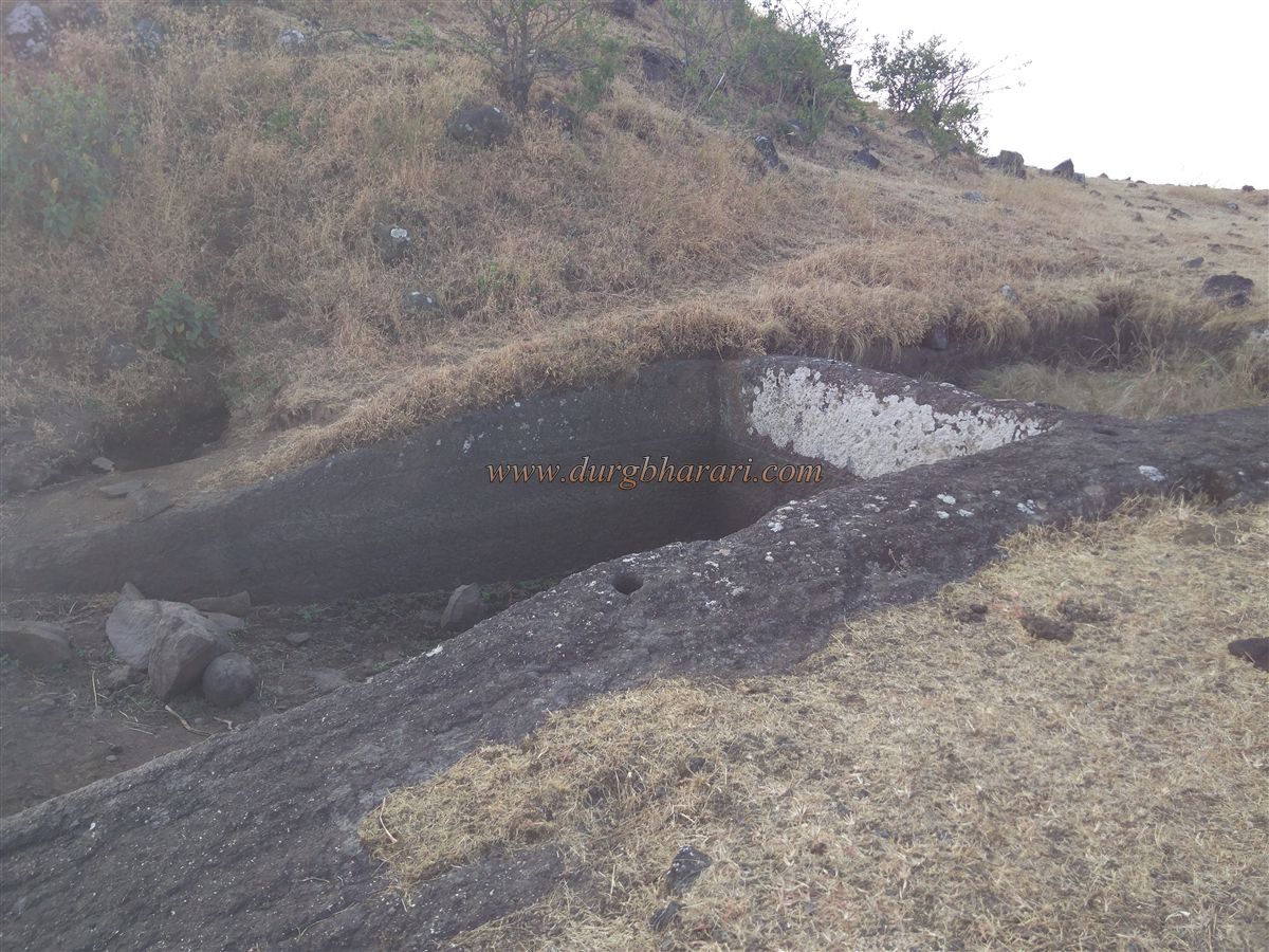
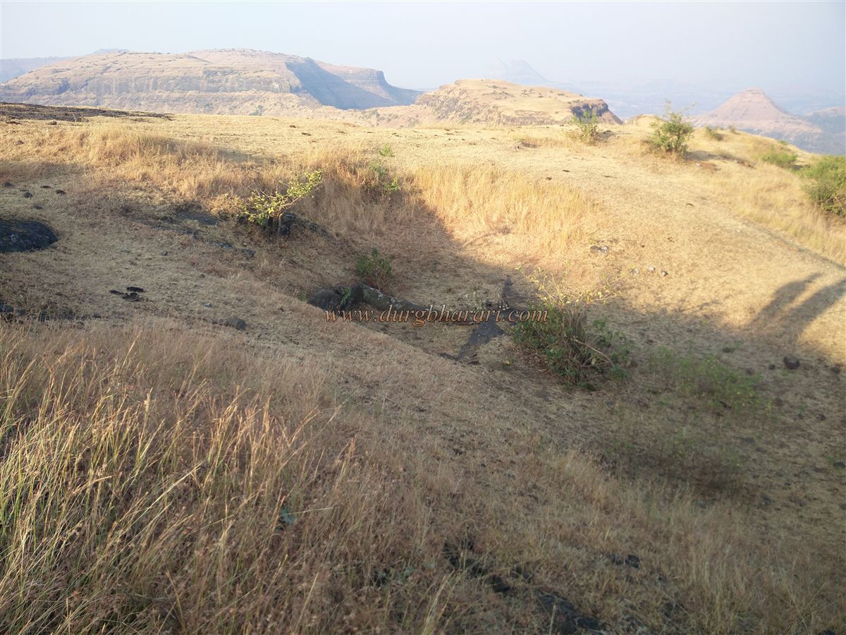
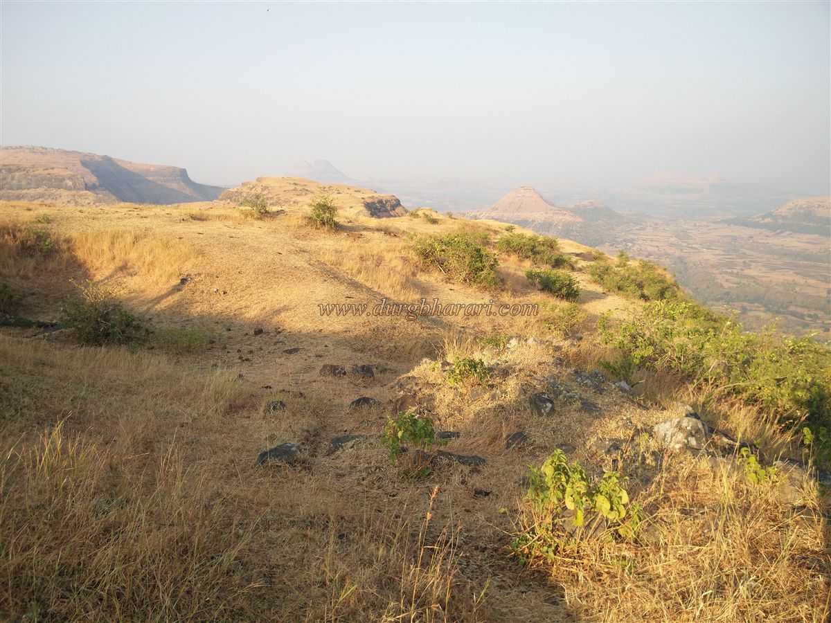
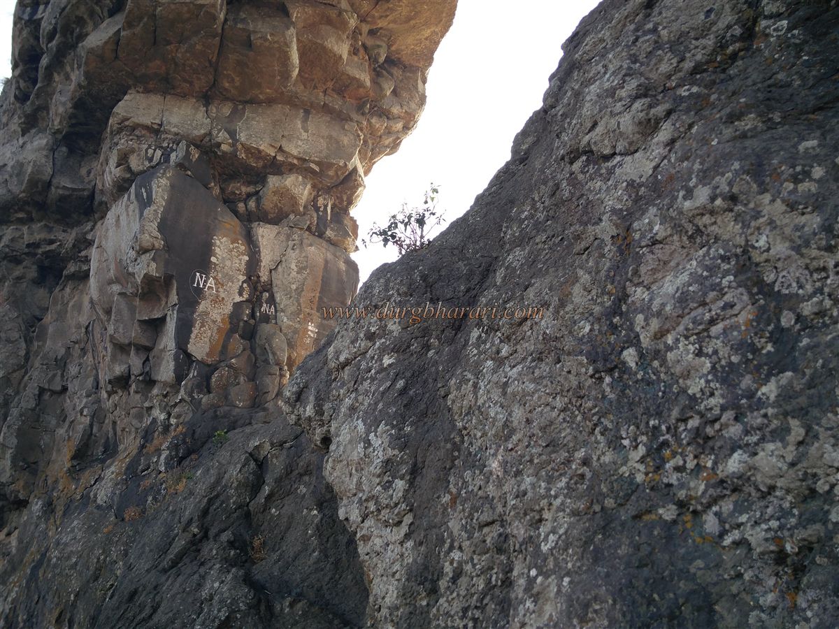
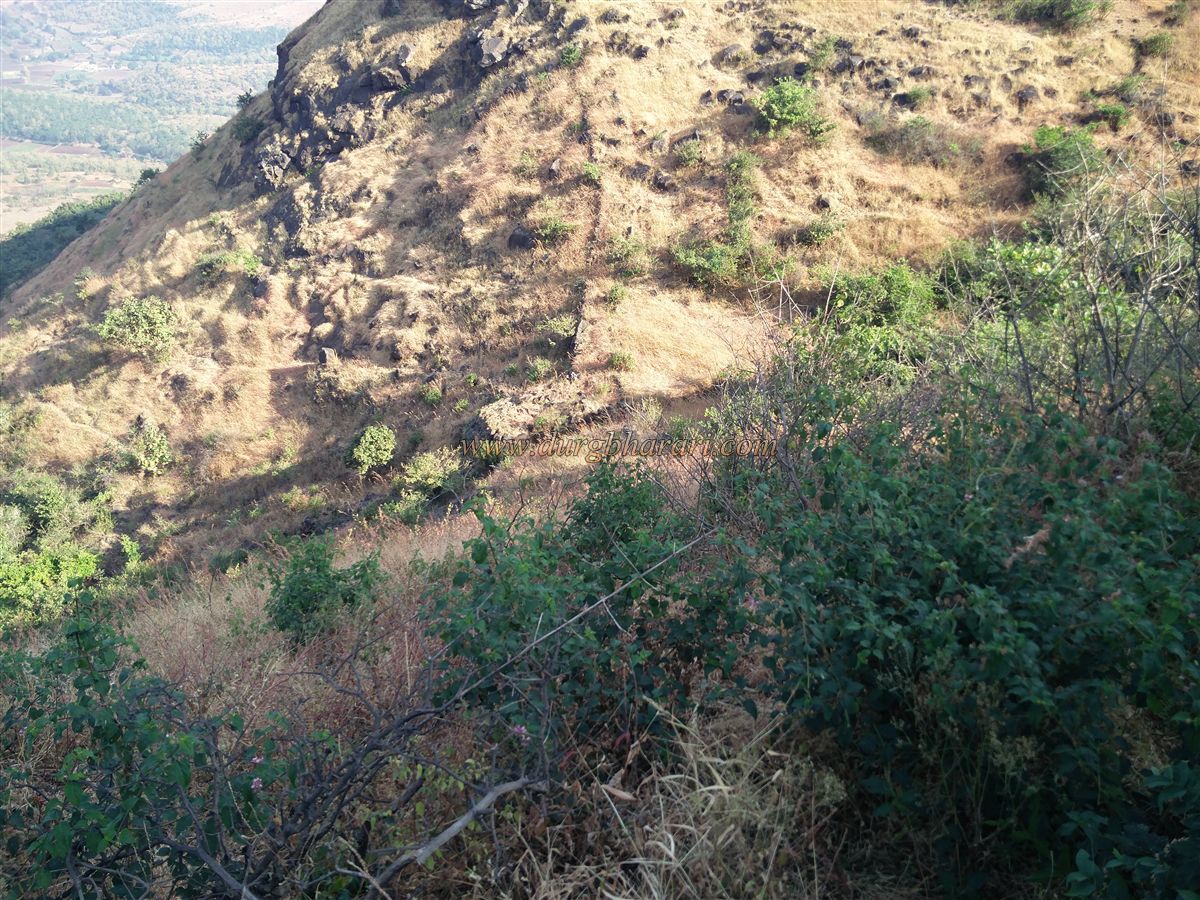
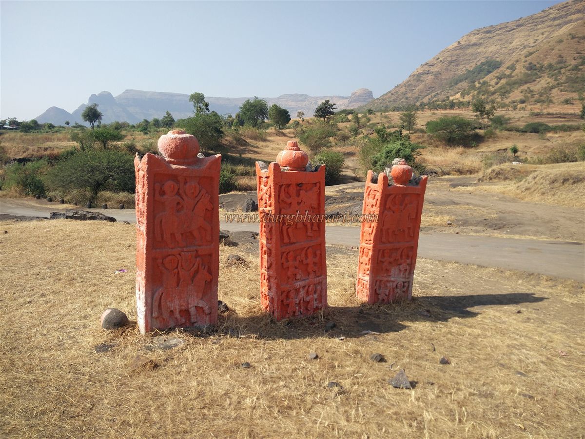
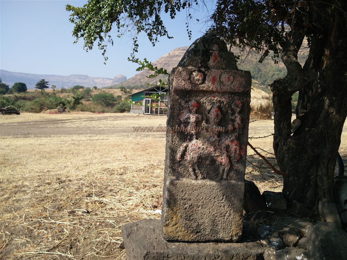
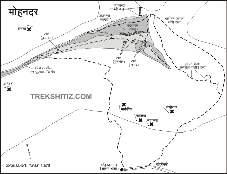
Mohandari village is 56 km from Nashik via Dindori-Wani road. This village is at a distance of 13 km from Wani. Before going to Nanduri village at the foot of Saptashringigad, 2 km before, recently, a fork in the road leading to Mohandari village can be seen. Mohandari village is 4 km from this fork. On the way to Mohandari village from the main road, the fort spreads in the east-west direction behind the village and its western side attracts our attention. On the way, you can see 4 Samadhi stones of 5 feet in height. While walking in this area, you can see such Samadhi stones everywhere. Although there are three ways to reach the fort, one way is slippery and time-consuming, while the other way requires rock climbing technique and equipment. But the third way is not slippery and you can easily visit the fort by this path in less time. It takes about four hours to reach the fort and since there is no drinking water on the fort, you have to carry water from the village. The climb to the fort starts from the school in Mohandari village. This path takes a detour to the eastern end of the fort and leads to the fort through the adjoining hills. This way, keep the hill of the fort on the left-hand side and start climbing towards the east end of the fort. In about half an hour we reach the eastern end of the fort. From here, leaving Mohandar Fort on the left-hand side, in half an hour you reach the gorge between the fort and the adjoining hill. The path near the edge is a bit slippery, but the rest of the path is easy. On reaching the gorge, the path on the left leads to the fort and the path on the right leads to the neighboring hill. There are two paths in front and the path parallel to the mountain leads to the needle hole, while the path leading down the gorge leads to the gate of the gorge. The first thing you need to do is walk around the fort on the left. After a five-minute ascent through the ravine, you enter the eastern part of the fort through the ruined ramparts. This is the highest part of the fort and it has a large number of broken ramparts as well as a ruined bastion facing the gorge. Some structures are also visible in this area. The height of the fort is 3390 feet above sea level and the tapering head of the fort is spread over four acres. There are two stages at the eastern end of the fort although no remains can be seen there. From here, on descending the hill to the western end of the fort, the first thing you see are three cisterns carved in the rock. Two of these cisterns contain mossy water and one cistern is extinguished with soil. In the further part of the road, you can see a dry joint cistern and another cistern filled with soil. The remains of the outpost can be seen in some places on the ramparts during the fort round. At the western end of the fort, there is a large cistern carved in the rock, which is filled with silt. In front of this cistern is the western end of the fort and a saffron flag is hoisted on it. This is where your fort round ends. The size of the fort is so narrow that half an hour is enough to complete the fort round. From the fort, one can see Ahivantgad, Kanhera, Saptashrungi, Markandya, Ravalya-javalya, Dhodap forts, and Chanakapur dam in the Satmal range. After walking around the fort, you have to come to the gorge to see the needle hole and proceed along the path sticking to the hill of the fort. This path leaves the hill of the fort on the left side and the valley on the right side. The path is easy except for the part with a lot of bushes. Since there is a hive of bees around the needle hole, care should be taken here. Going down the gorge, you can see the ruined east-facing gate of the fort and the adjoining bastion. Looking back at the door, you can see the remains of a structure on the slope on the left. This is where your fort round actually ends. Although there is no record of this fort in history, Shidka fort should be the protective fort of Ahiwant fort. At the time when Shivaji Maharaj conquered Ahivantgad in 1670, this fort must have also been added to the Swarajya.
© Suresh Nimbalkar
GALLERY