MIRGAD
TYPE : HILL FORT
DISTRICT : RAIGAD
HEIGHT : 1150 FEET
GRADE : MEDIUM
There are several forts in Maharashtra known as Songad or Songir. One of them stands on the Mahalmiriya Hill near Pen town. Since it is located on Mahalmiriya Hill, this fort is also known as Mirgad. Judging by its shape and the specific remains on it, the fort was probably used for surveillance. Being close to Mumbai and Pune, it can easily be visited in a single day, and with strict time planning, the nearby Ratnadurg Fort can also be seen along with it. The village of Jhāpdi, at the foot of the fort, is 102 km from Mumbai and 140 km from Pune. To reach Jhāpdi village, the route is Pen–Vadkhal–Pabal–Kondhavi–Jhāpdi. On the Mumbai–Goa highway, Vadkhal is the point from where there is a turn towards Pabal, which is 10 km away. From this junction, Jhāpdi is within 10 km. From Jhāpdi village, a dirt road leads to the settlement of Songirwadi on the fort’s machi, a small hamlet of about 10–12 houses.
...
If one has a jeep or similar vehicle, it is possible to reach the hamlet directly on the fort’s machi; otherwise, the 2 km distance must be covered on foot. It should be noted that two sharp bends on this road have loose soil in large quantities, causing even motorcycles to skid. However, the local youth cross it easily due to their daily familiarity with the route.
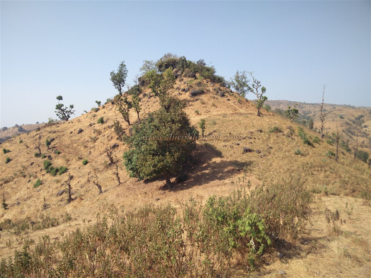
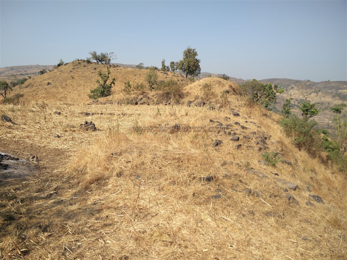
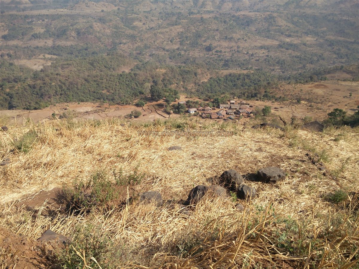
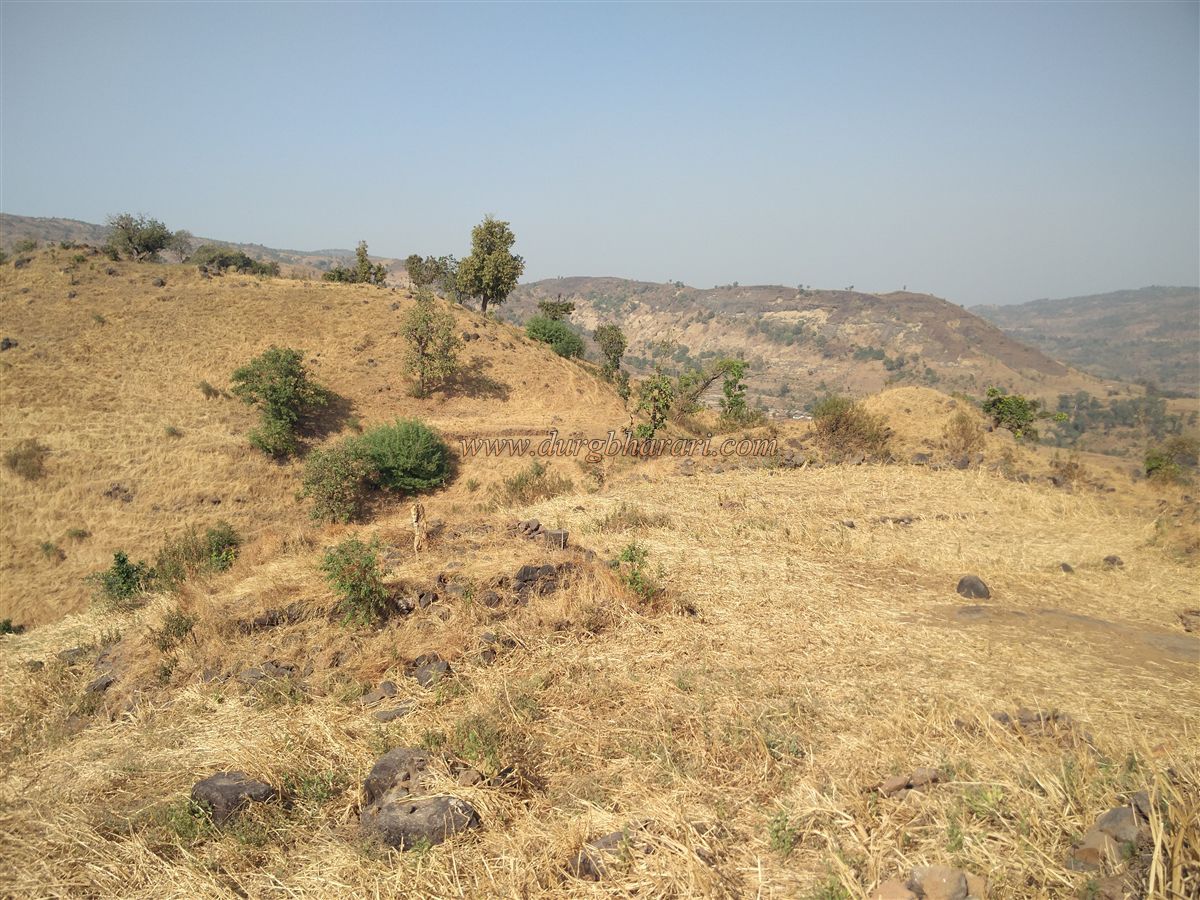
As you enter Songirwadi, you see four hills ahead. The second and third hills from the left together form the Songir, also called Mirgad Fort. From the outskirts of the hamlet, a path to the fort begins through a pass between the third hill’s slopes. Since the villagers cultivate nachni (finger millet) on the fort and graze their cattle there, the path is well-trodden, but it is still advisable to confirm the route from a villager or take one along at least to the starting point of the path. It takes about half an hour to climb from Songirwadi to the fort.
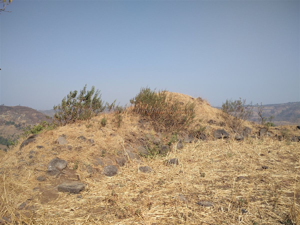
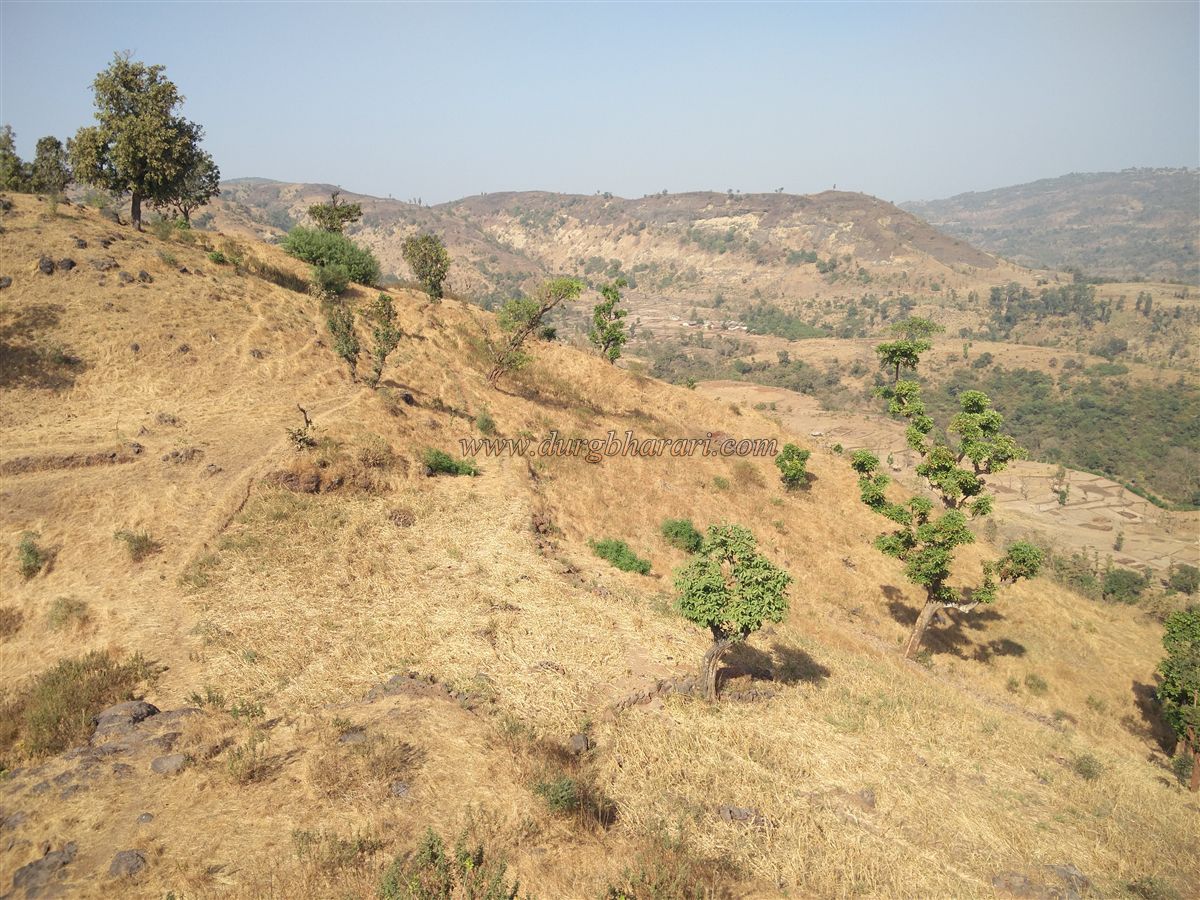
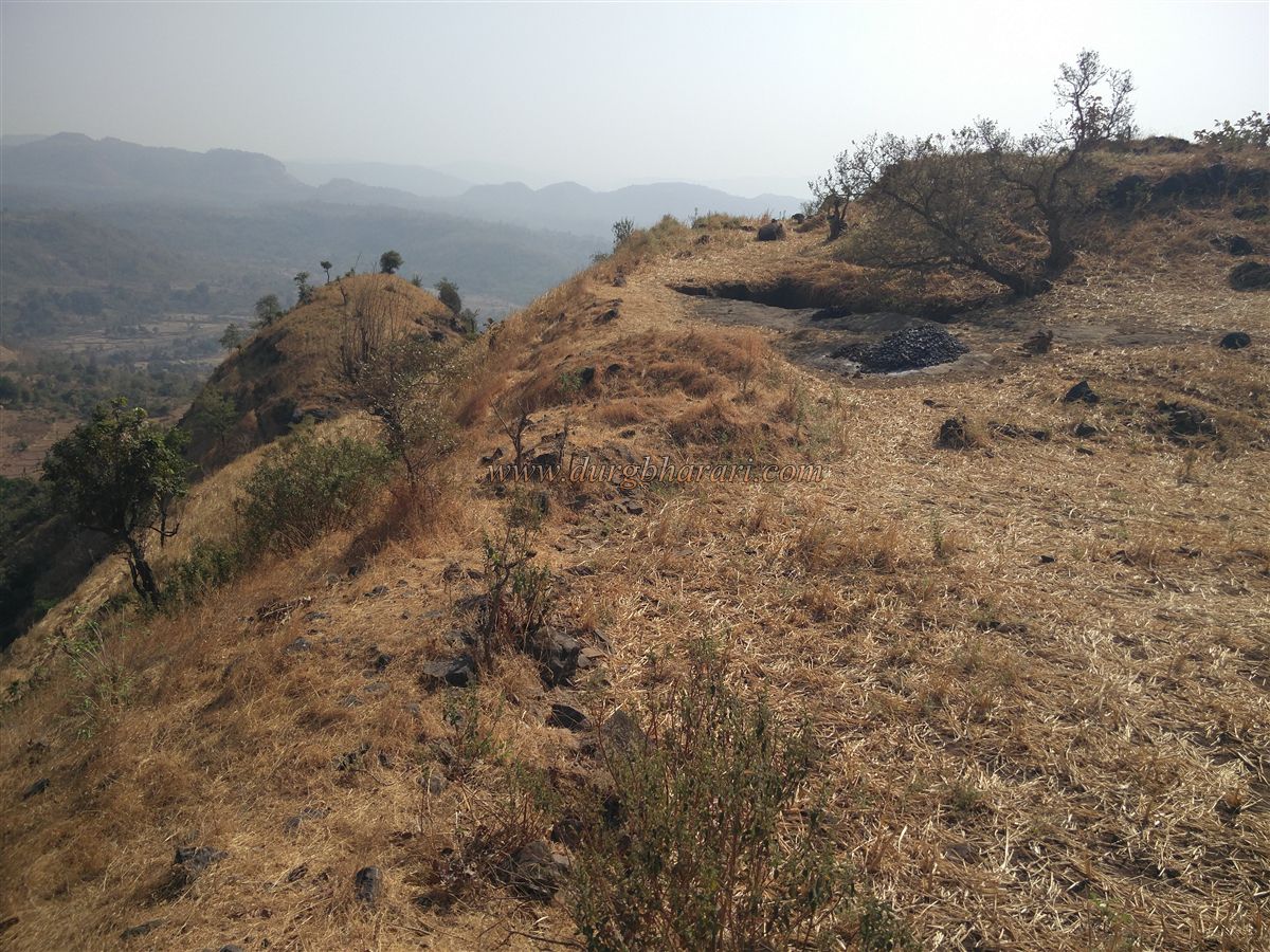
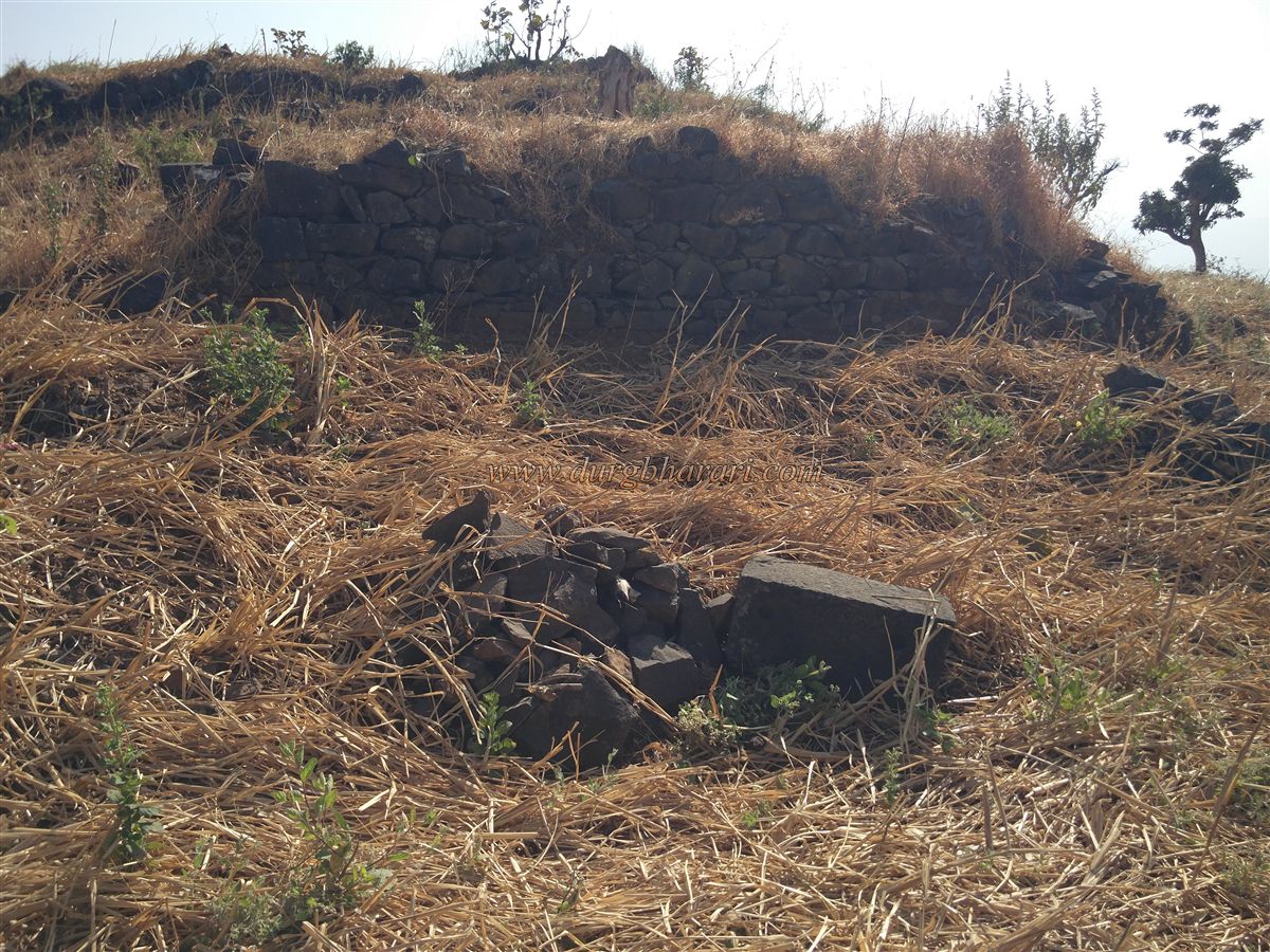
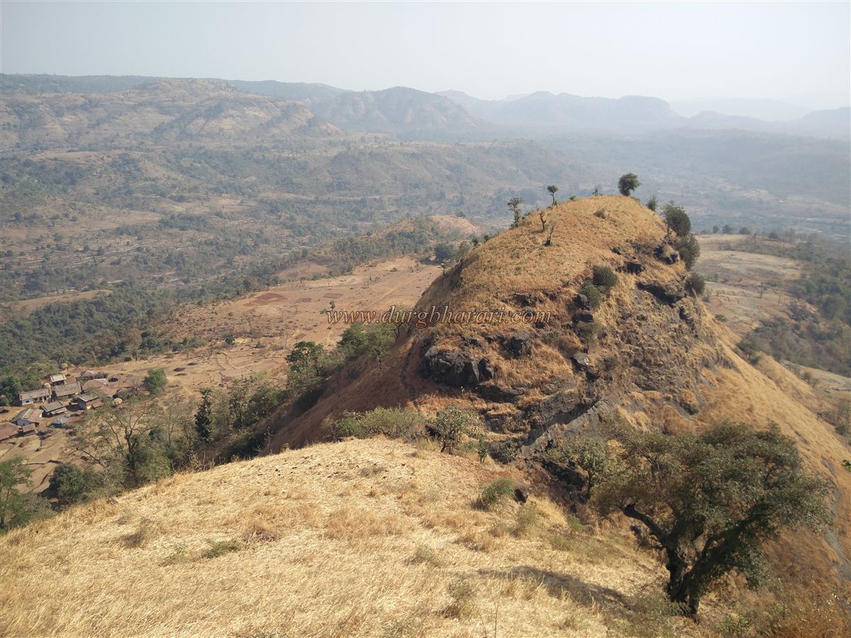
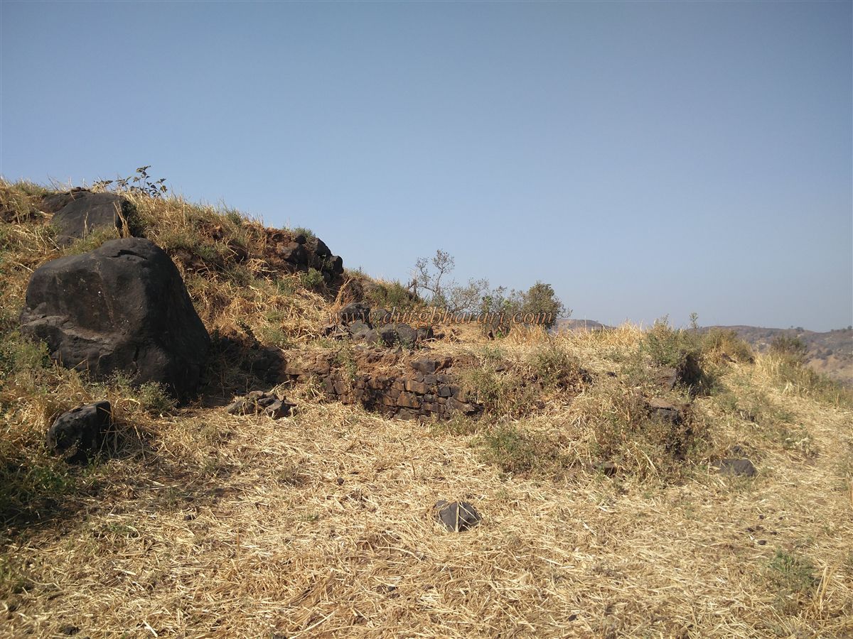
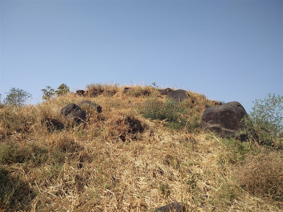
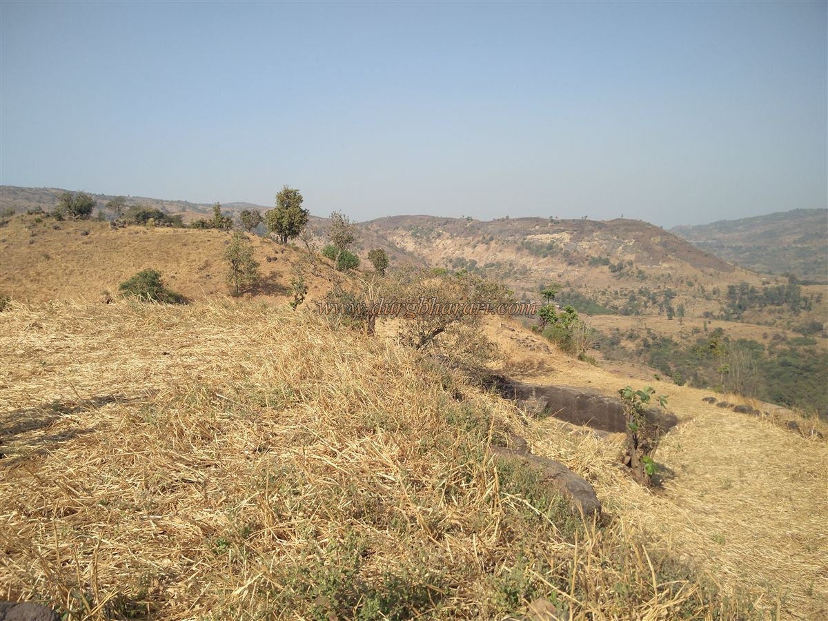
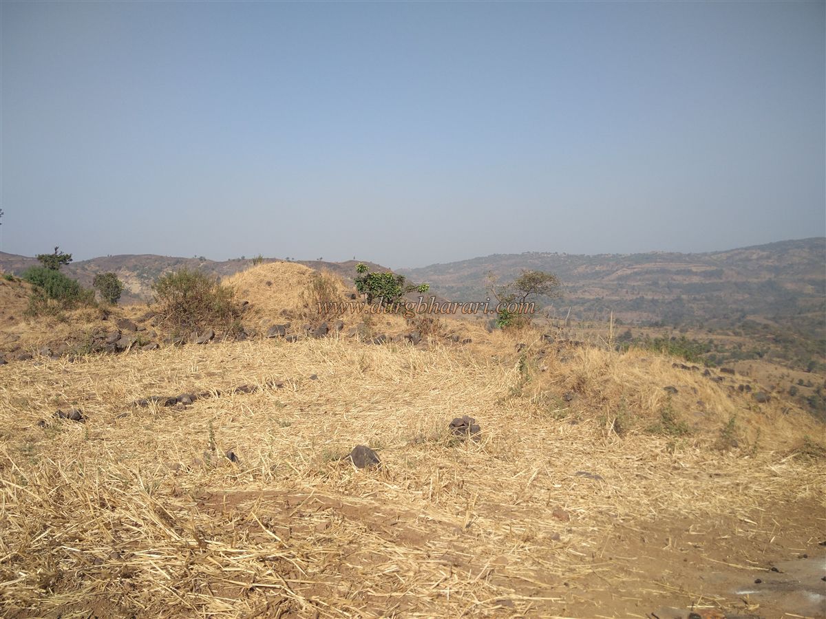
The fort is 1,040 feet above sea level, with the area containing its remains covering about one acre. On the first hill of the fort, there are a few scattered architectural ruins, and in the bushes here, villagers have placed two or three idols they found on the fort. From this point, one can see the main fort on the opposite hill along with all its remains. From the first hill, descending into the pass and climbing the second hill, entry into the fort is gained through a ruined section of fortification. The main entrance of the fort is now completely destroyed.
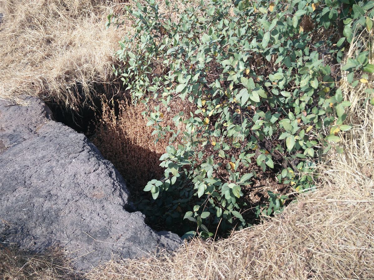
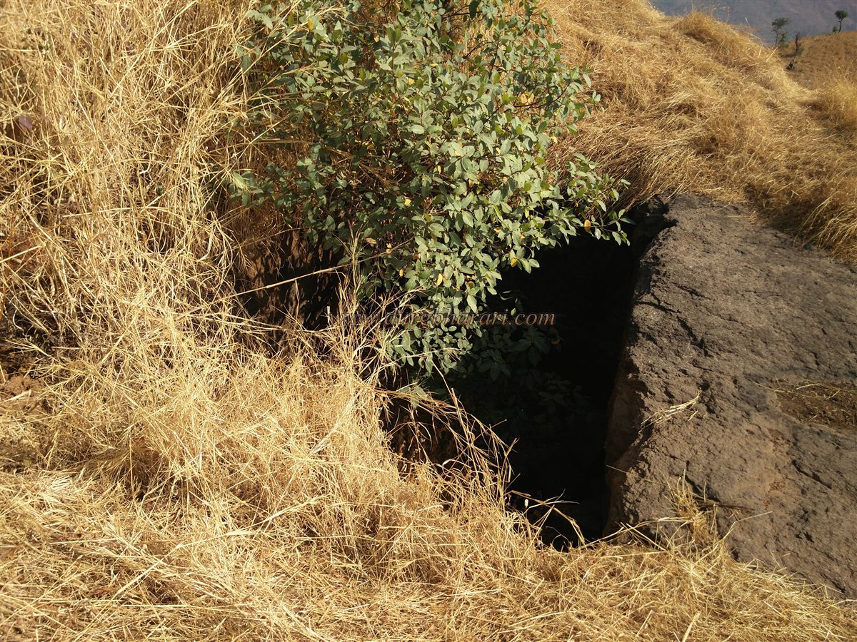
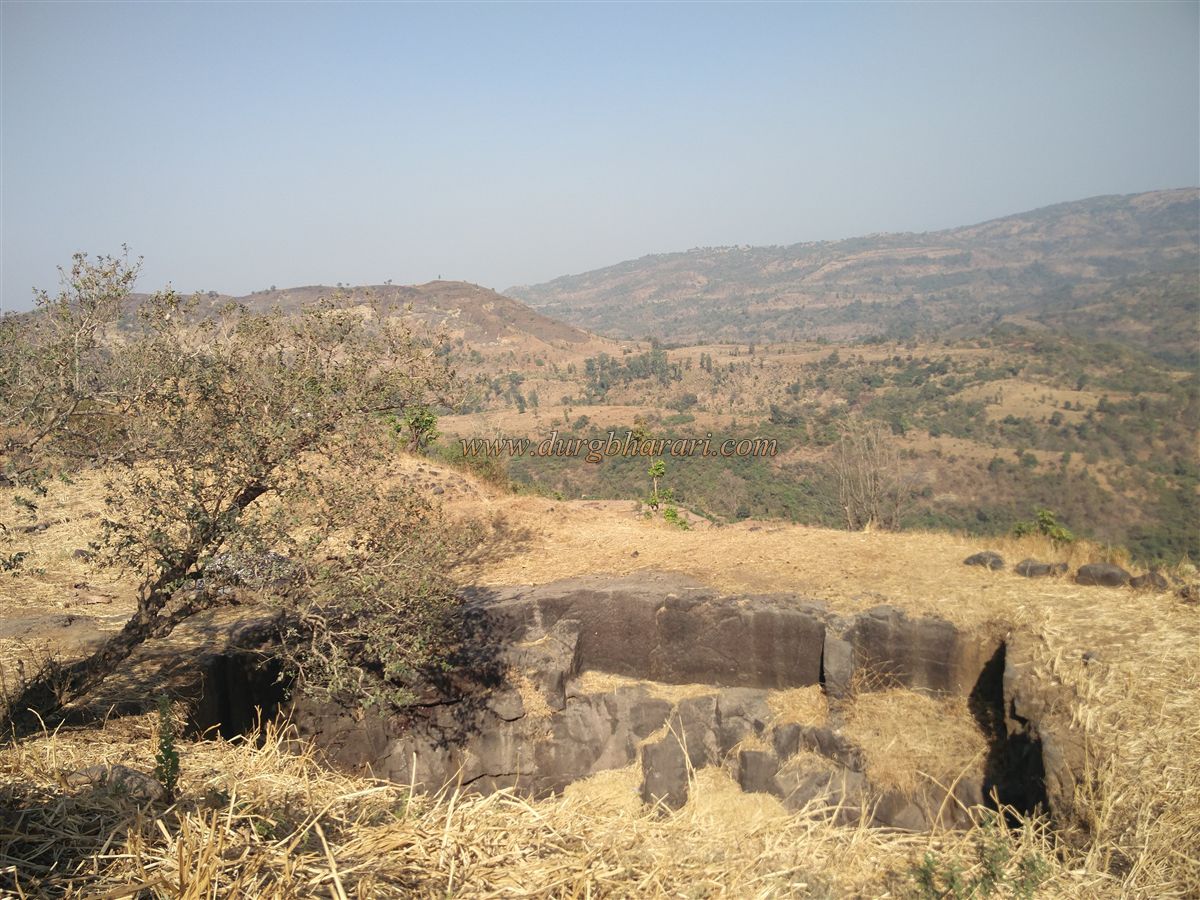
Inside the fort, on the right side is the base of a temple, while on the left is a crumbling bastion. Straight ahead, a large water tank carved into rock can be seen, though it is currently dry. Near the bastion is a platform of a former structure, though it is not prominent due to nachni cultivation over it. Beyond the tank, there are some scattered architectural remains, and on a mound to the right, a large platform is visible. In front of this mound is a small dried-up water tank. From this elevated part of the fort, one can see Karnala and Manikgad in the distance, with Ratnadurg Fort directly ahead. Exploring the fort takes about half an hour.
In 1662, when the Mughal commander Namdarkhan attacked the Pen area, records mention that Shivaji Maharaj took part in a battle in the Mirgad region. Later references to the fort appear in correspondence between the Peshwas and the Angres. In March 1740, when Balaji Bajirao, also known as Nanasaheb Peshwa, and Chimaji Appa came to assist Manaji Angre, they captured Tulaji Angre and took control of Pali and the Mirgad area.
© Suresh Nimbalkar
GALLERY