MESANA
TYPE : HILL FORT
DISTRICT : NASHIK
HEIGHT : 3065 FEET
GRADE : MEDIUM
While exploring the forts of Nashik district, one encounters many known and lesser-known forts—of which the latter are in greater number. These forts, often neglected and hidden in remote terrains, rarely receive the footsteps of trekkers or fort enthusiasts. Nashik district, apart from the main Sahyadri range, is traversed by several smaller hill chains such as Selbari, Dolbari, Ajanta, and Satmala. Among these, the Mesna Fort is situated on the Ajanta-Satmala hill range.
Considering its small size and limited structural remains, Mesna Fort likely served as a lookout post rather than a fully developed defensive structure. Located in Chandwad taluka of Nashik district, the base village for the fort is Mesankhede, situated 81 km from Nashik city and about 18 km from Chandwad. On the Chandwad–Manmad road, a diversion towards Mesankhede lies 16 km from Chandwad. From this junction, the fort’s base is another 4 km away.
...
As Mesna Fort is relatively unknown in the region, travellers should first inquire about Mesankhede village rather than the fort itself. Once at the village, locals can guide you toward "Mesna Dongar" (Mesna Hill). The fort is far from the main village, and since it is seldom visited, the paths leading to it are not well marked—mostly cattle tracks that can be misleading. It is advisable to get clear directions beforehand or take along a local guide, especially from the settlement of farm labourers near the base.
From this hamlet, a trail initially veers left, climbs through the centre of the hill, then bends left again. This path continues along a ledge with a valley on the right and eventually brings you to a plateau just before the mountain ridge. From here, one sees a small gorge above which a horizontal tree branch can be spotted—this is a key landmark. Head directly toward the gorge.
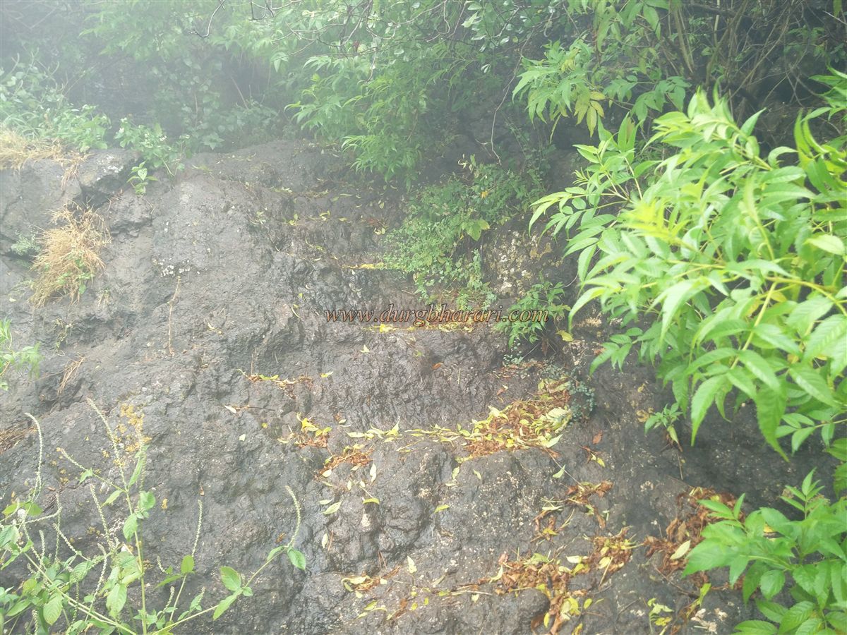
Though the forest cover is dense, the trail from this point is fairly defined and thus easy to follow. Along the way, there are 8–10 rock-cut steps and a small natural cave with vermilion marks, indicating local religious usage. Proceeding further along the narrow Cliffside trail, a vertical rock wall is climbed to reach the fort’s upper plateau.
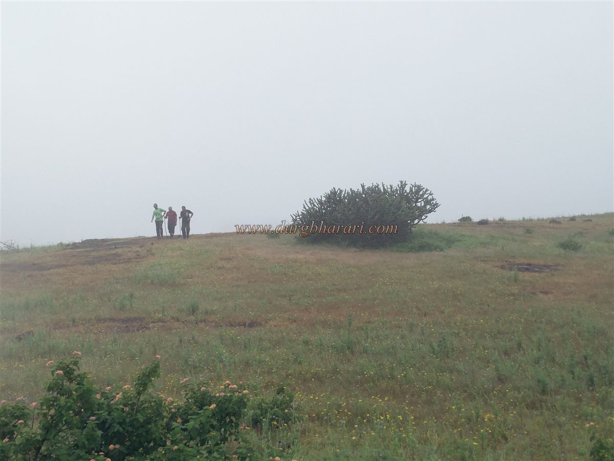
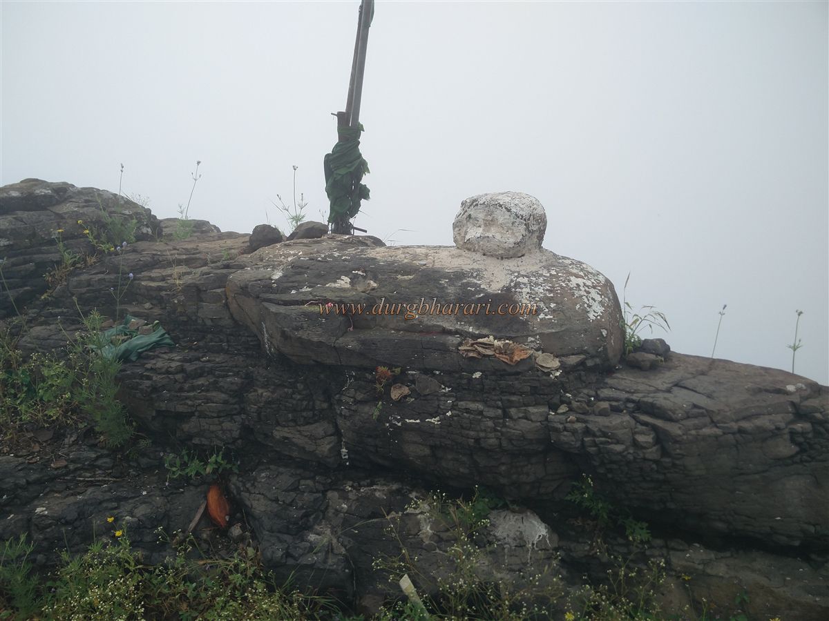
The summit of the fort is spread north to south across approximately 18 acres and is situated 3,060 feet above sea level. Upon reaching the plateau, one should head toward a small hillock directly in front. This hilltop, now housing a Pir (shrine), likely served as the fort’s original flag-post site and is the highest point of the fort.
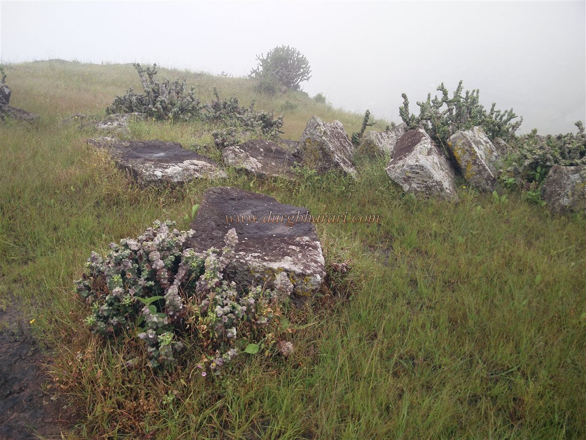
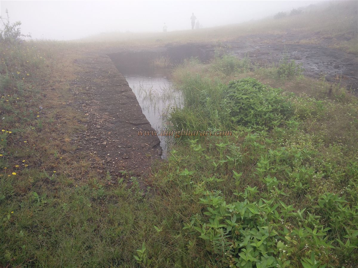
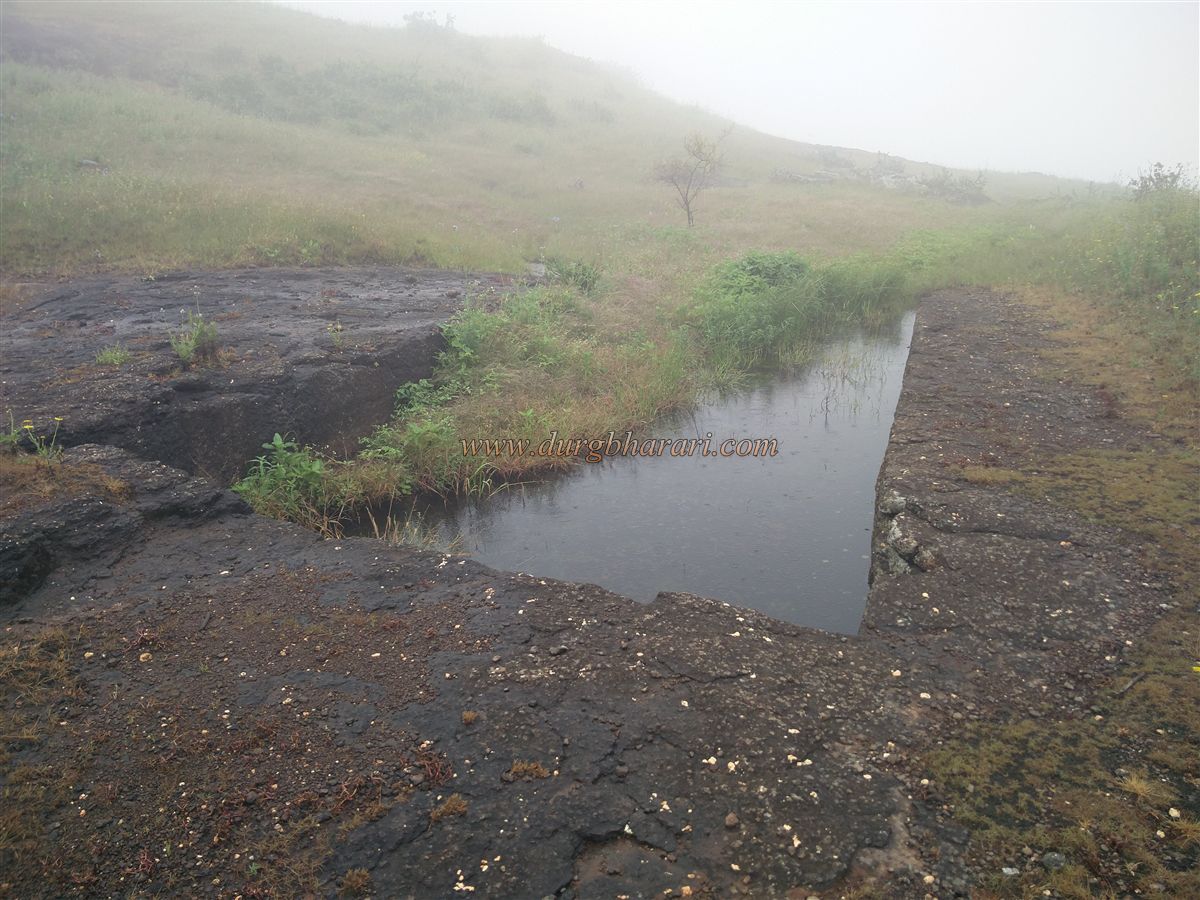
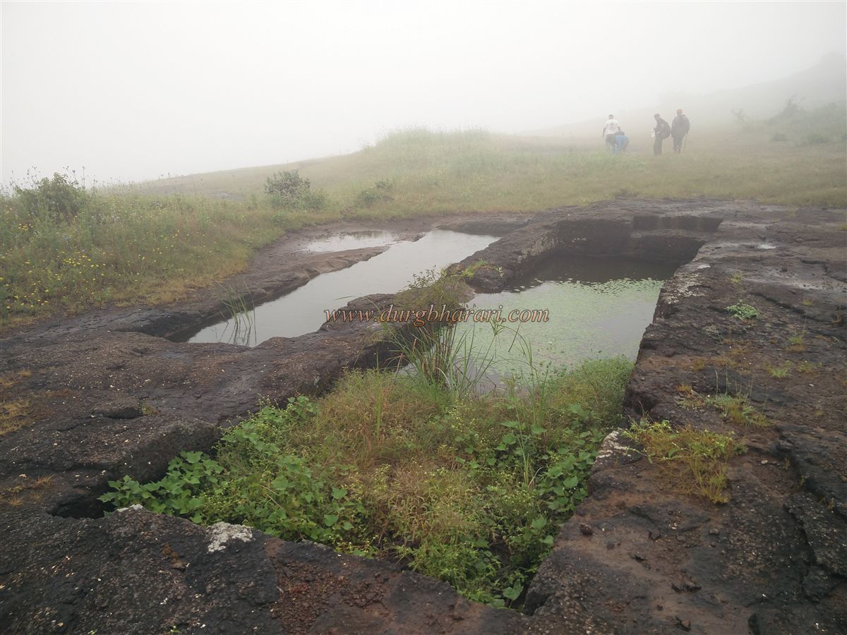
Descending from this hill and heading left, one reaches another part of the plateau. Further along the left-hand path are four rock-cut water cisterns in a linear arrangement. The first and last cisterns are separate, while the middle two are interconnected. All of them are currently filled with debris and the water is not potable. The dressed stone blocks excavated during the cistern’s construction are neatly stacked nearby, possibly meant for additional construction.
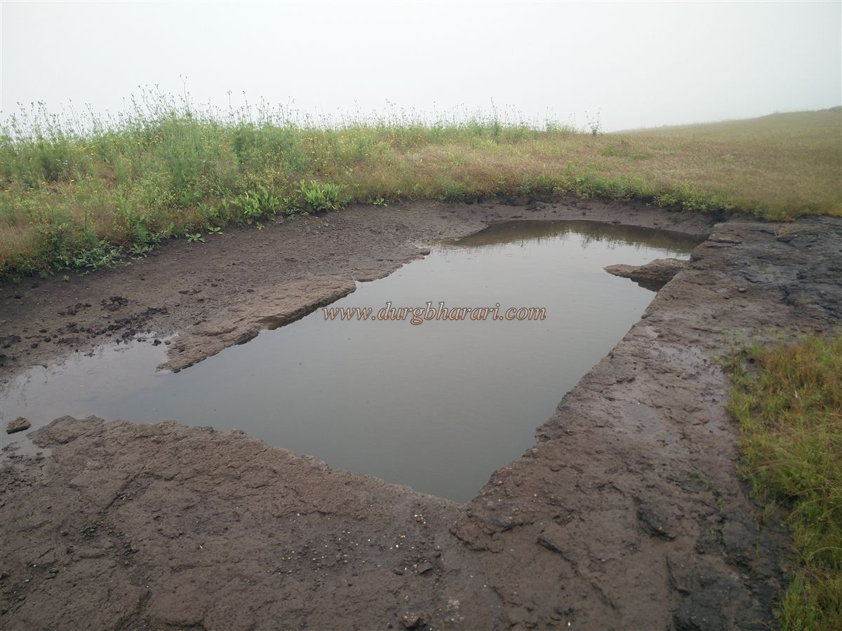
Moving further on the path, one comes across a small seasonal pond at the slope of the hill. The pond is currently silted up due to heavy soil accumulation. Eventually, this path brings you back to the fort’s original entry point along the cliff edge, marking the end of the circuit.
Due to the lack of substantial architectural remnants, an hour is sufficient to explore the entire fort. However, from the hilltop, one is rewarded with sweeping views of nearby forts such as Ankai-Tankai, Katragad, and Gorakhgad—making Mesna Fort a worthy destination for solitude seekers and keen observers of the Sahyadri vast fort network.
© Suresh Nimbalkar
GALLERY