MANSANTOSHGAD
TYPE : HILL FORT
DISTRICT : SINDHUDURG
HEIGHT : 2065 FEET
GRADE : VERY HARD
While there are many routes descending from the Sahyadri hill ranges to the Konkan, only a few were primarily used for trade in earlier times. Goods arriving at coastal ports would travel up these routes to reach markets atop the Ghats. Among these trade routes, Hanumant Ghat was one of the prominent ones, and to guard this strategic path, the twin forts of Rangana (atop the Ghat) and Manohar–Mansantosh (at the base) were established, possibly even before the time of Chhatrapati Shivaji Maharaj.
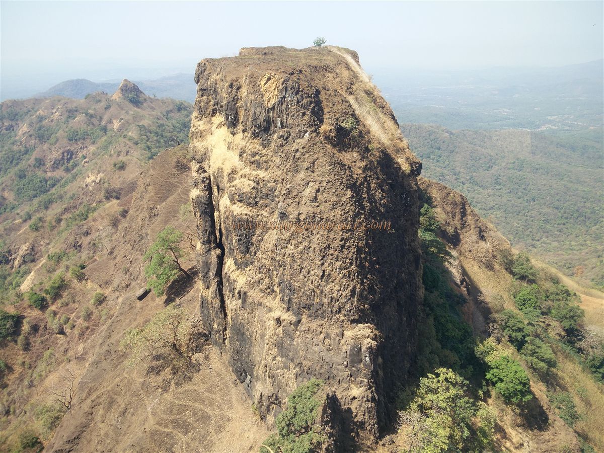
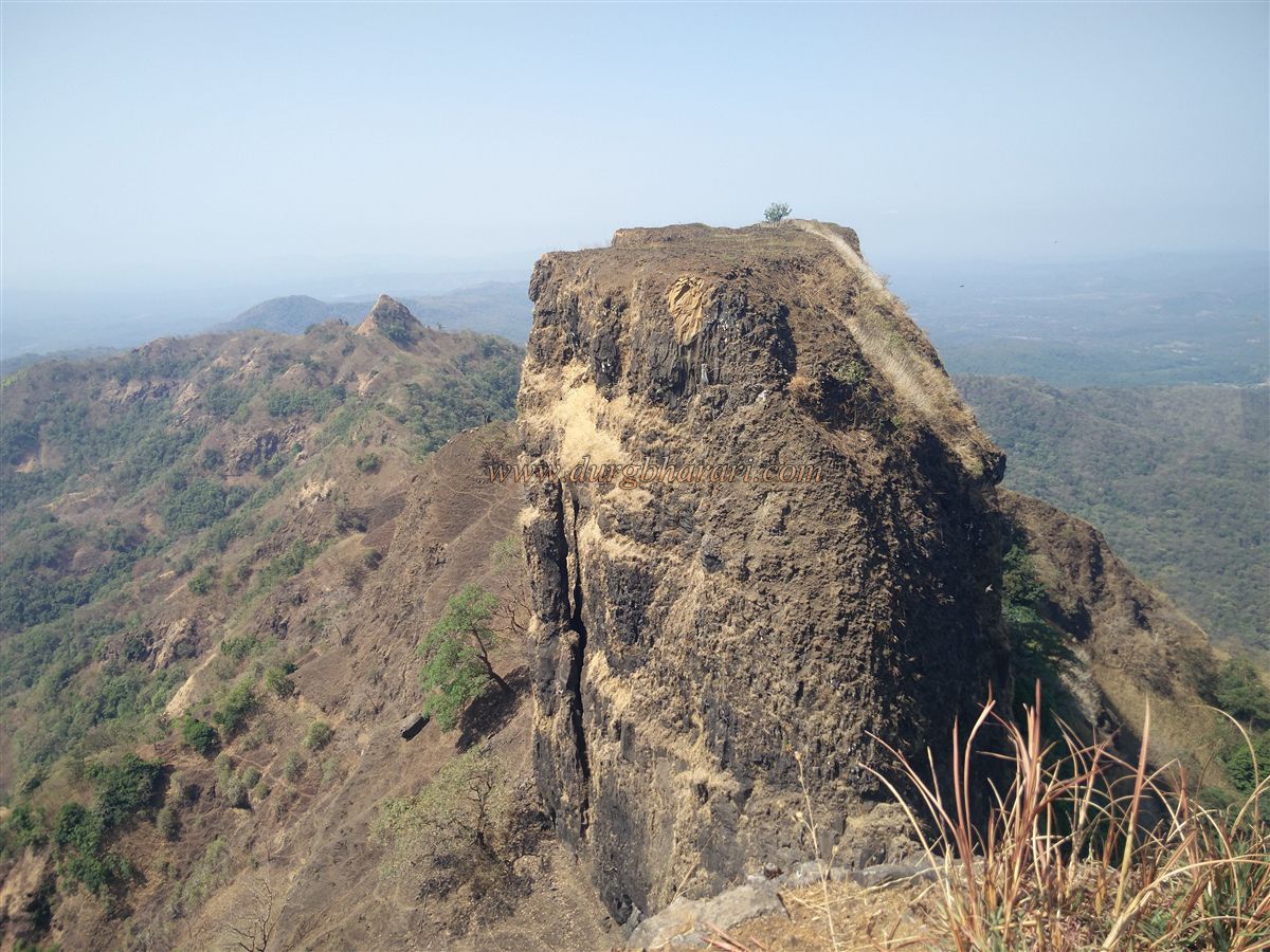
Despite their architectural and historical significance, the dense forests and poor accessibility mean these forts are rarely visited, even by seasoned fort trekkers. Of the Manohar–Mansantosh fort pair, the two are separated by a narrow saddle. While Manohar Fort is relatively easy to climb, Mansantosh Fort requires technical climbing equipment due to its steep and ruined access route.
...
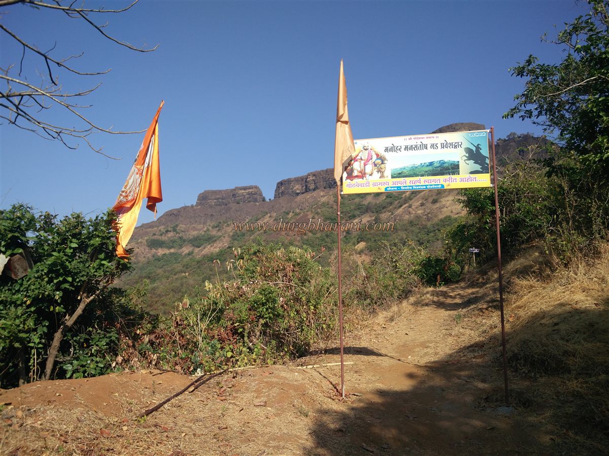
To reach the fort, one can begin from either Pethshivapur, which lies at the base of the fort, or Gothavewadi, located on the opposite side. These two villages are connected by a motorable road. However, the road from Pethshivapur to the fort saddle is unpaved, while the one from Gothavewadi is tarred, making Gothavewadi the preferred access point, especially when traveling by private vehicle.
From Sawantwadi, which lies 506 km from Mumbai via the Mumbai–Goa highway, one can reach Gothavewadi via Kalambaste–Shirsinge. The distance is approximately 30 km from Sawantwadi to Gothavewadi and about 40 km to Pethshivapur. The ascent from either village to the fort takes about 2 to 2.5 hours, but if one has a private vehicle, the 4 km uphill section beyond Gothavewadi can be driven, saving about 45 minutes of trekking time.
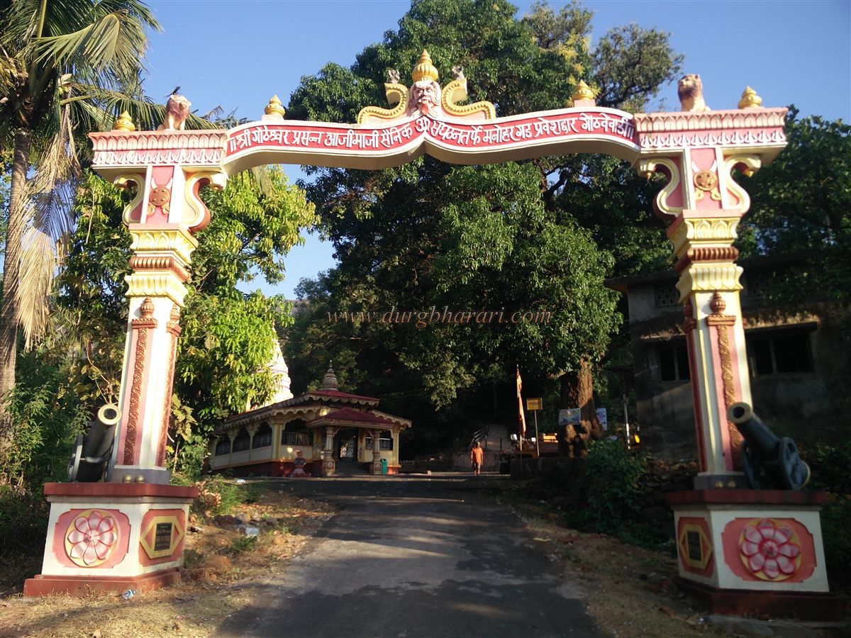
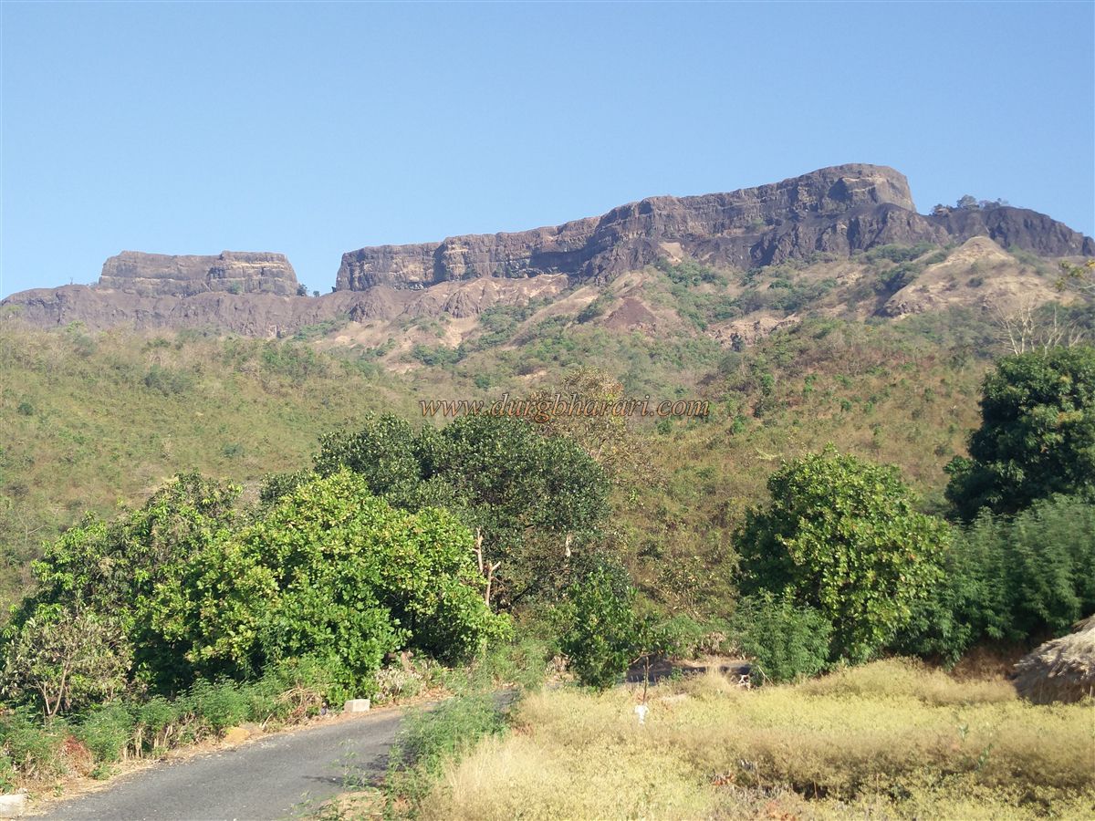
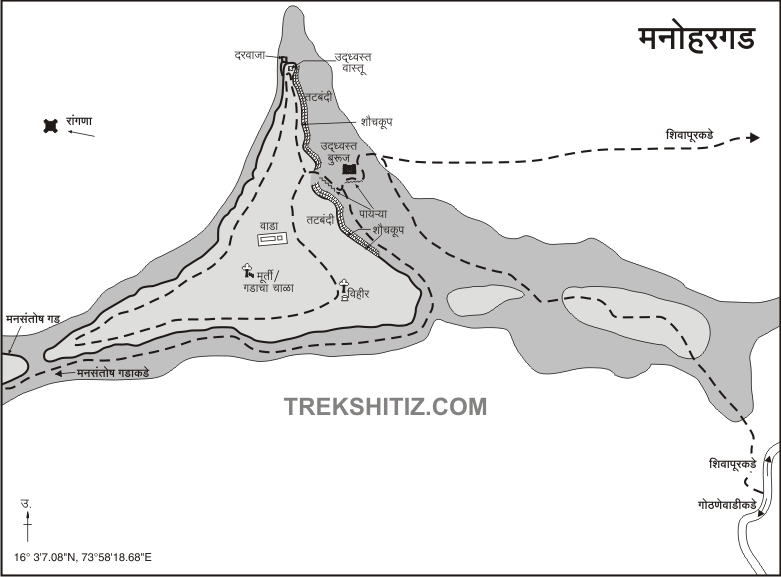
Upon reaching Gothavewadi, one is greeted with a spectacular view of the twin forts: the larger Manohar Fort and the smaller, more conical Mansantosh Fort. At the start of the trail, a ridge known as Garudzhaap extends downwards, marked with an arch built by local youths. The trail ascends this ridge and veers left around the hill, eventually meeting a path from Shivapur village. The initial part of the trail is open, but most of it lies under forest cover, shielding trekkers from the sun. Way finding is aided by signboards installed by locals.
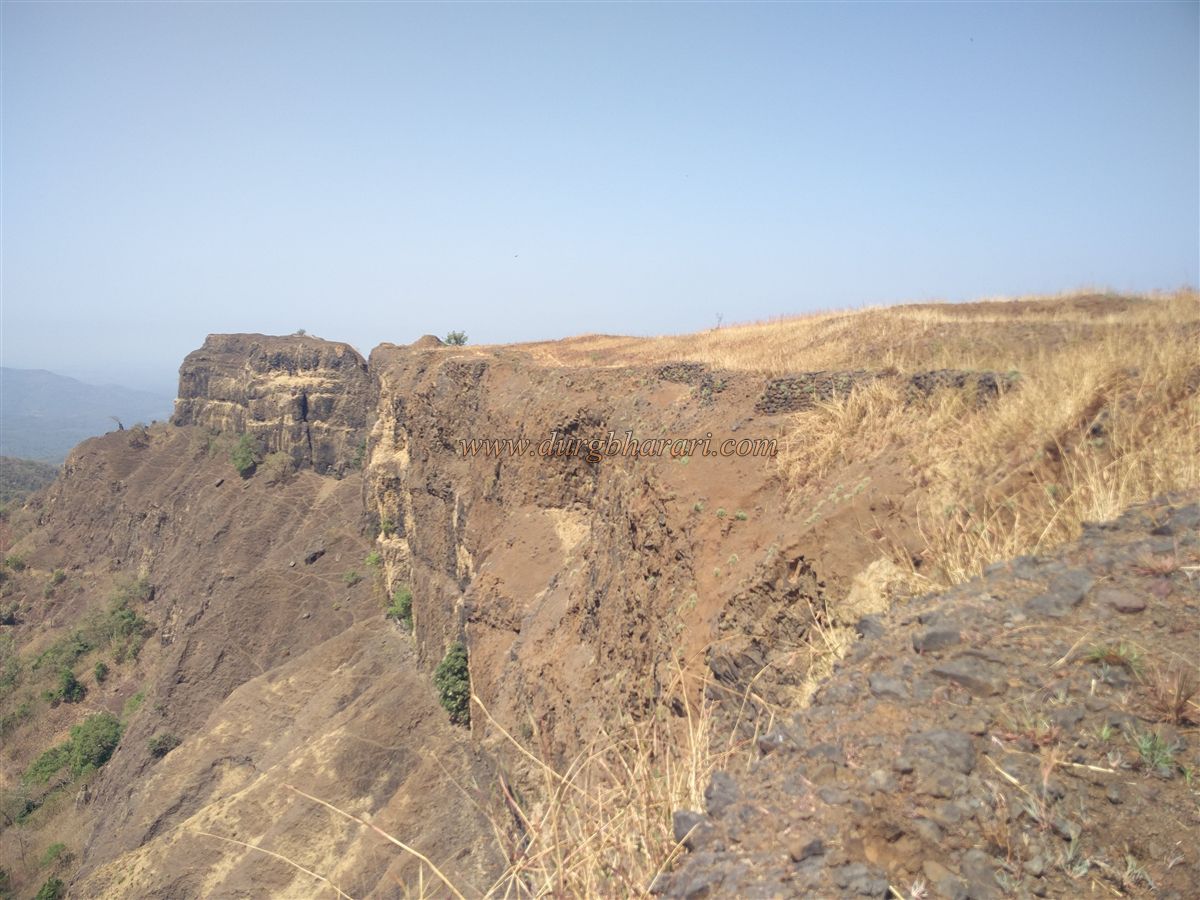
On the trail, one encounters a former military outpost, and a little further, the two approach paths merge. A further 15-minute climb over ruined steps and loose gravel brings you to the fortification wall. Here lies the first north-facing entrance to the fort, now entirely destroyed except for one remaining bastion.
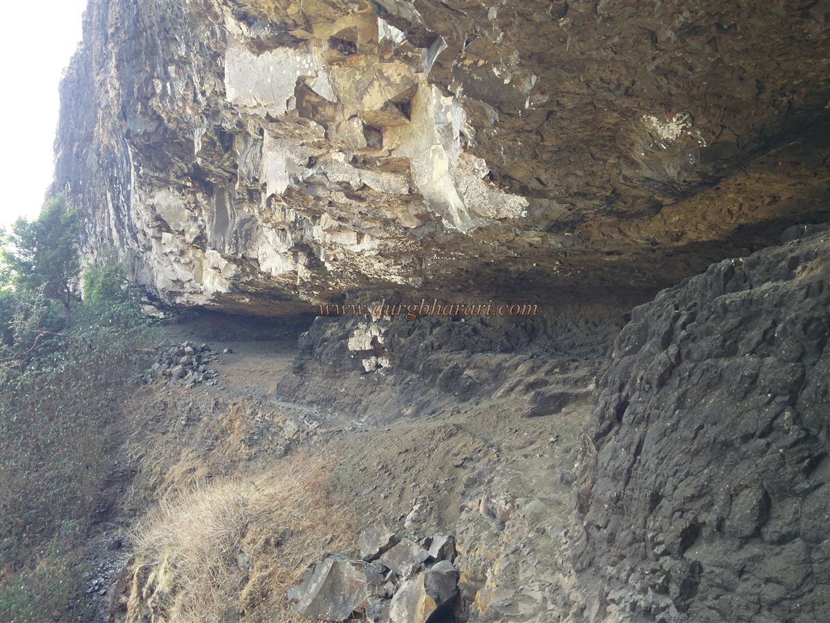
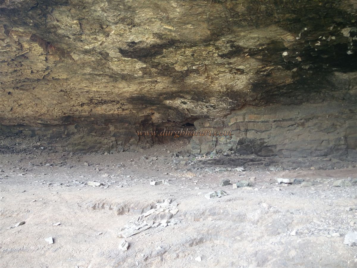
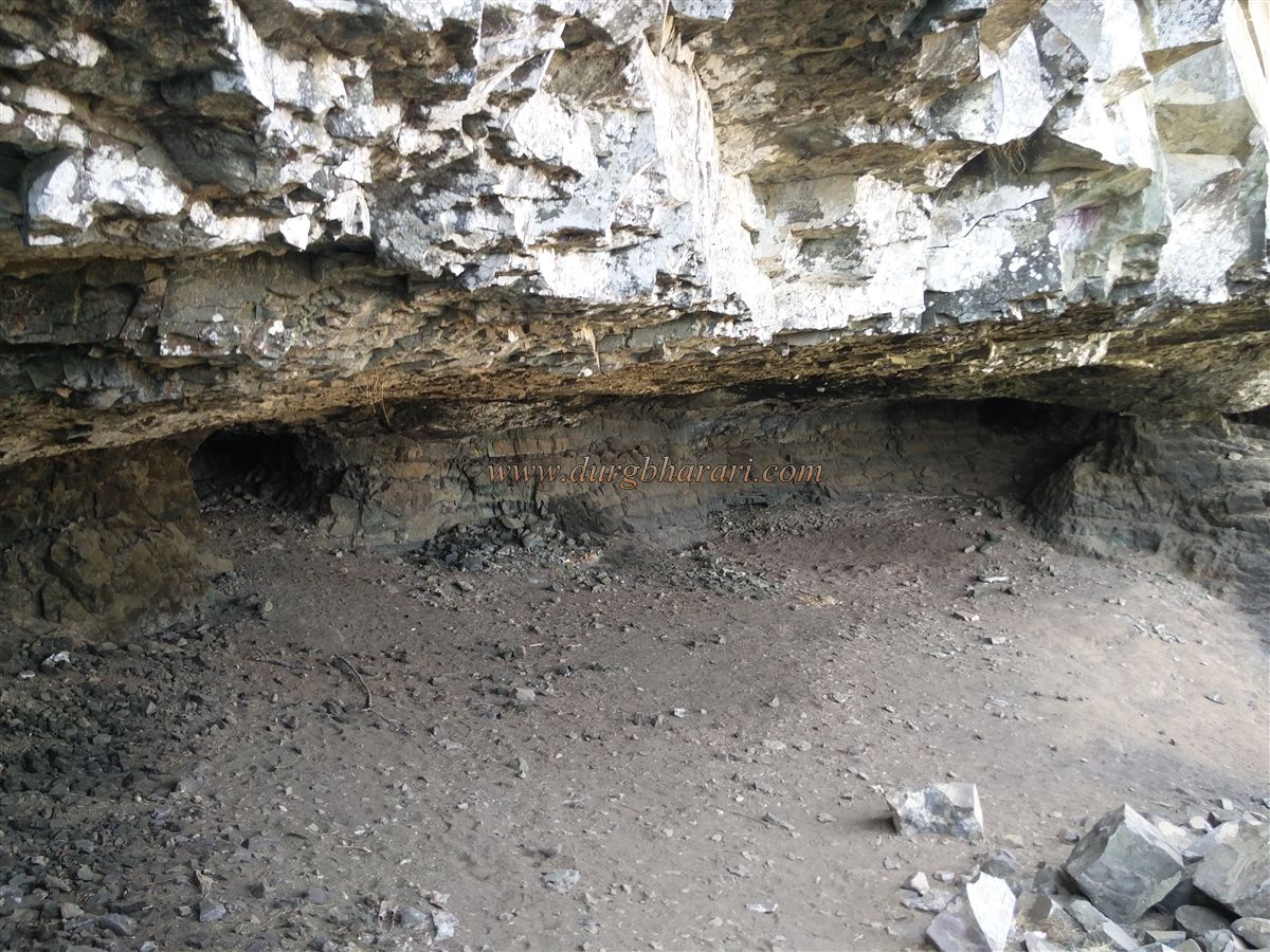
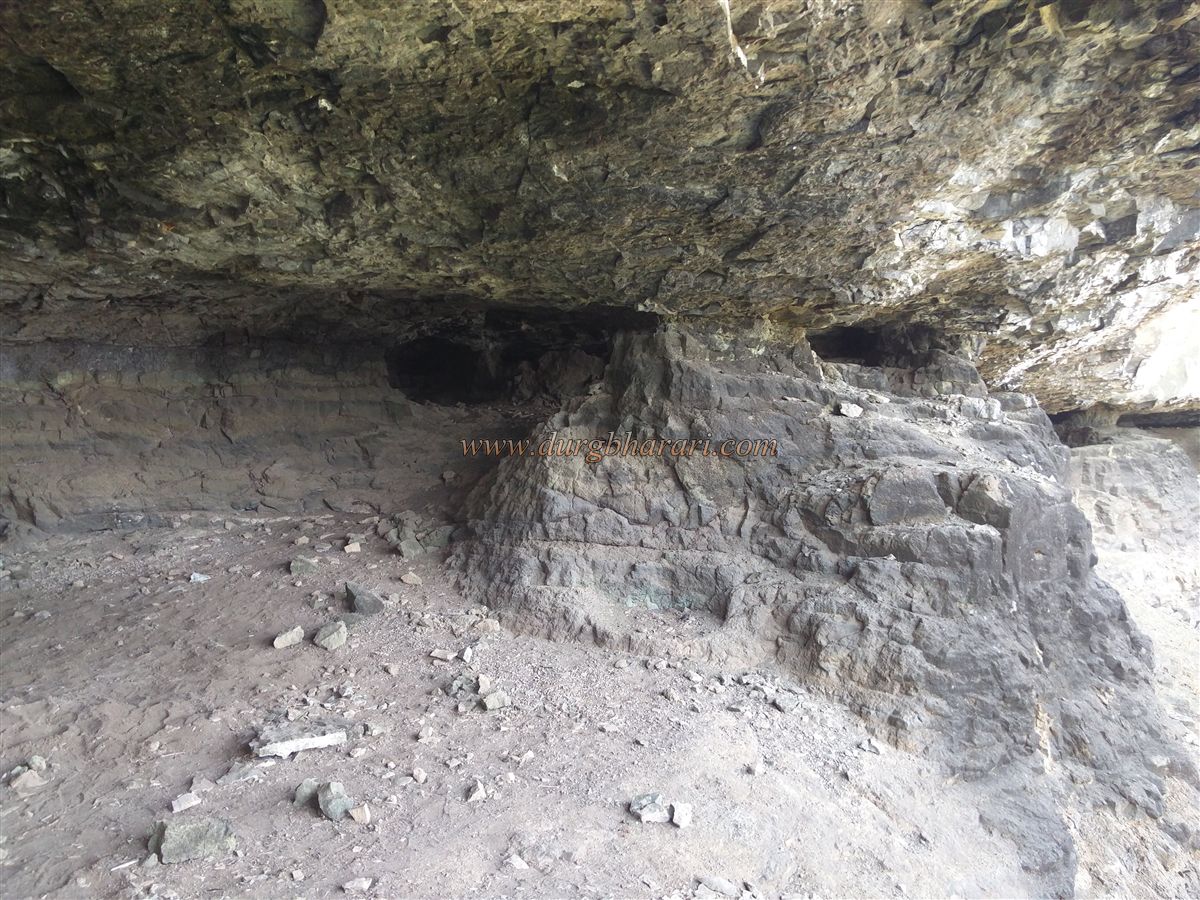
Upon entering, the path splits: the straight trail circumnavigates Manohar Fort to reach Mansantosh Fort, while the right path ascends to Manohar itself. Along the left trail, one passes several natural rock-cut caves, and eventually arrives at the saddle connecting the two forts.
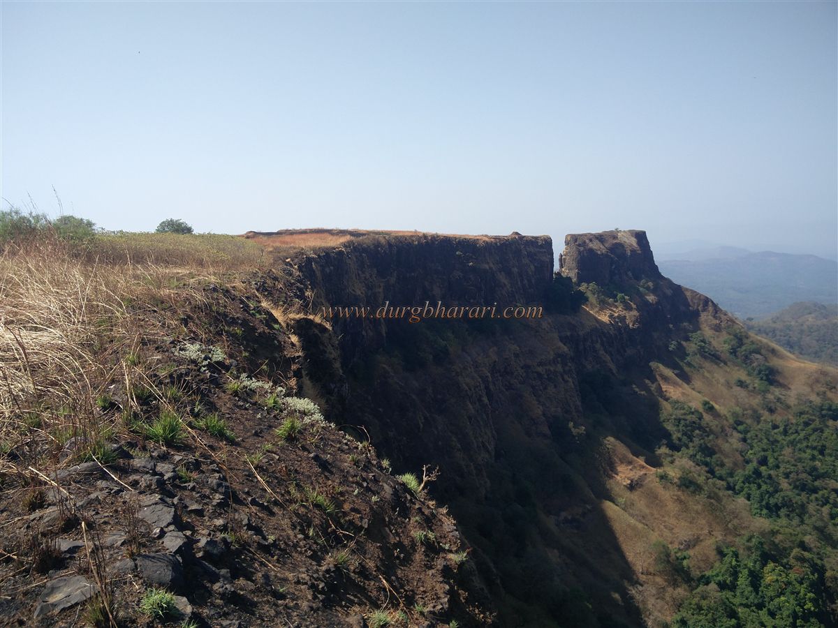
To climb Mansantosh Fort, one must descend a little and follow a trail to the base. This path leads to a set of stone-cut steps, the beginning of a route carved into the cliff itself. However, in 1845, the British shelled this path with cannons to destroy the fort, making the final section dangerous and requiring the use of ropes and climbing gear. Only experienced climbers should attempt this ascent; others can enjoy the view from Manohar Fort.
The path eventually leads to Mansantosh Fort’s ruined gate, from where a final push brings you to the summit. The fort's narrow plateau stretches east–west and spans around 1 acre, sitting at an elevation of about 2000 feet. Only a few ruined foundations and two dried water tanks remain on the summit. From here, one can see Parpoli Ghat, Narayanagad, Mahadev Gad, Rangana Fort, and vast areas of the Konkan region. Exploring Mansantosh takes roughly 15 minutes.
Historically, Manohar Fort is mentioned frequently in records from Shivaji's era and the Kolhapur Chhatrapati, but Mansantosh Fort is absent from such documentation. It's unclear whether it was considered a separate fort in that era, or simply part of Manohar. Therefore, Manohar’s history likely applies to Mansantosh as well.
Though the exact date and builder of the fort are unknown, it is believed that the fort was under Adilshahi control before it was captured by the Marathas in June–July of 1664. Adilshahi general Lakham Sawant of Sawantwadi put up a strong resistance but eventually had to retreat. Around 1666, records mention Baji Gholap as fort commandant, with Rudroji Tukdev, Bomaji Kaloji as Sarnobats, and Ramji Vishwanath as Sabnis.
Between 1681–1707, during Aurangzeb’s campaign in the Deccan, many forts fell, but Manohar–Mansantosh remained in Maratha hands. Later, the fort came under the Kolhapur Chhatrapati. In 1834, the garrison revolted, prompting Chhatrapati Shahu Maharaj to send Appajirao Jadhav to suppress the rebellion. Shahu Maharaj himself marched to the fort in 1836, arrested the insurgents, and seized two cannons.
In 1844, following the British annexation of Karveer (Kolhapur State), another rebellion erupted. The fort served as a key base for rebels. Major Benbo’s column camped at Nerur village, near the Hanumantghat base, while the rebels captured local officials and burned documents. Rebel leader Fond Sawant Tambulkar invited Anasaheb of Sawantwadi to join the revolt, sheltering him on the fort and collecting taxes in his name. They even set up a gunpowder manufacturing unit on the premises.
In response, the British dispatched Colonel Wallace and General Delmont. On 16 January 1845, Wallace launched an attack at Shivapur, followed by Delmont’s cannon fire from 26 January, which forced the rebels to surrender. Anasaheb escaped with his children to Goa, and the fort finally fell into British hands.
© Suresh Nimbalkar
GALLERY