MANIKPUNJ
TYPE : HILL FORT
DISTRICT : NASHIK
HEIGHT : 1975 FEET
GRADE : MEDIUM
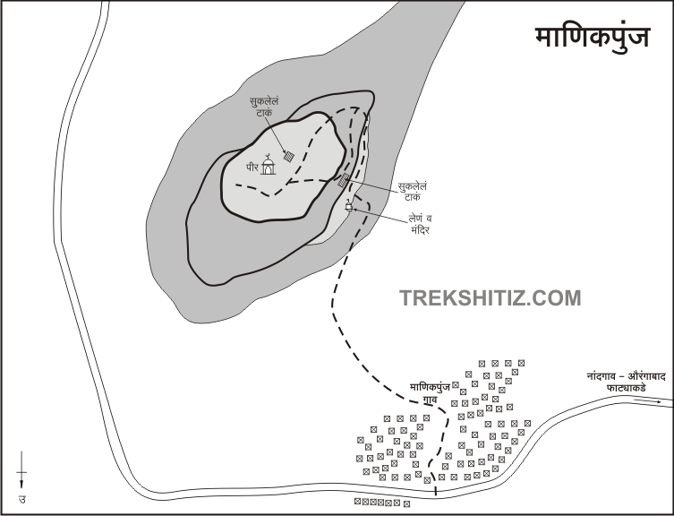
In the Nashik district, along with the main range of Sahyadri, various sub-ranges like Selbari-Dolbari and Ajanta-Satmal are seen running parallel to it. Many forts of medium and small size are situated on the Ajanta-Satmal mountain range mainly in three districts, Nashik, Jalgaon, and Aurangabad. If you have a period of two-three days, you can visit many unfamiliar forts in this range. Manikpunj is one such small fort located on this range. Considering the ancient caves on the fort and the size of the fort, this fort must have been used for surveillance since ancient times. To visit this fort in Nandgaon taluka of Nashik district, one has to reach Manikpunj, a village at the foot of the fort. Manikpunj village is 14 km from Nandgaon taluka. There is a fork in the distance from Bangaon on Nandgaon-Yeola road to Manikpunj.
...
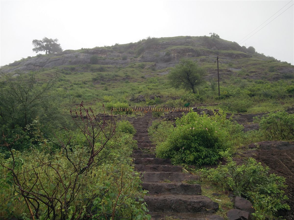
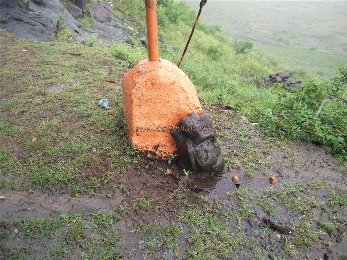
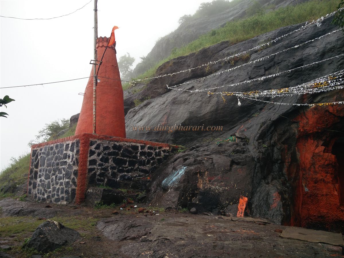
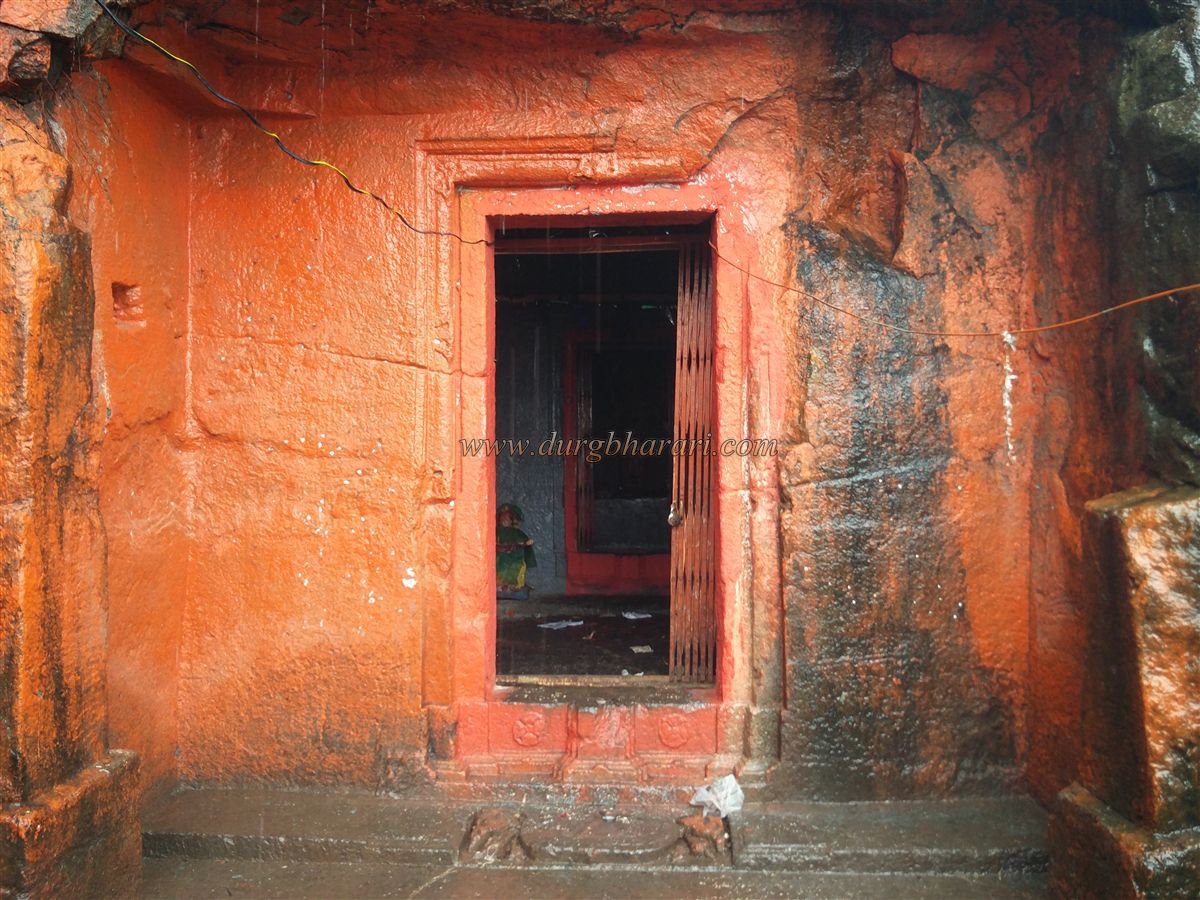
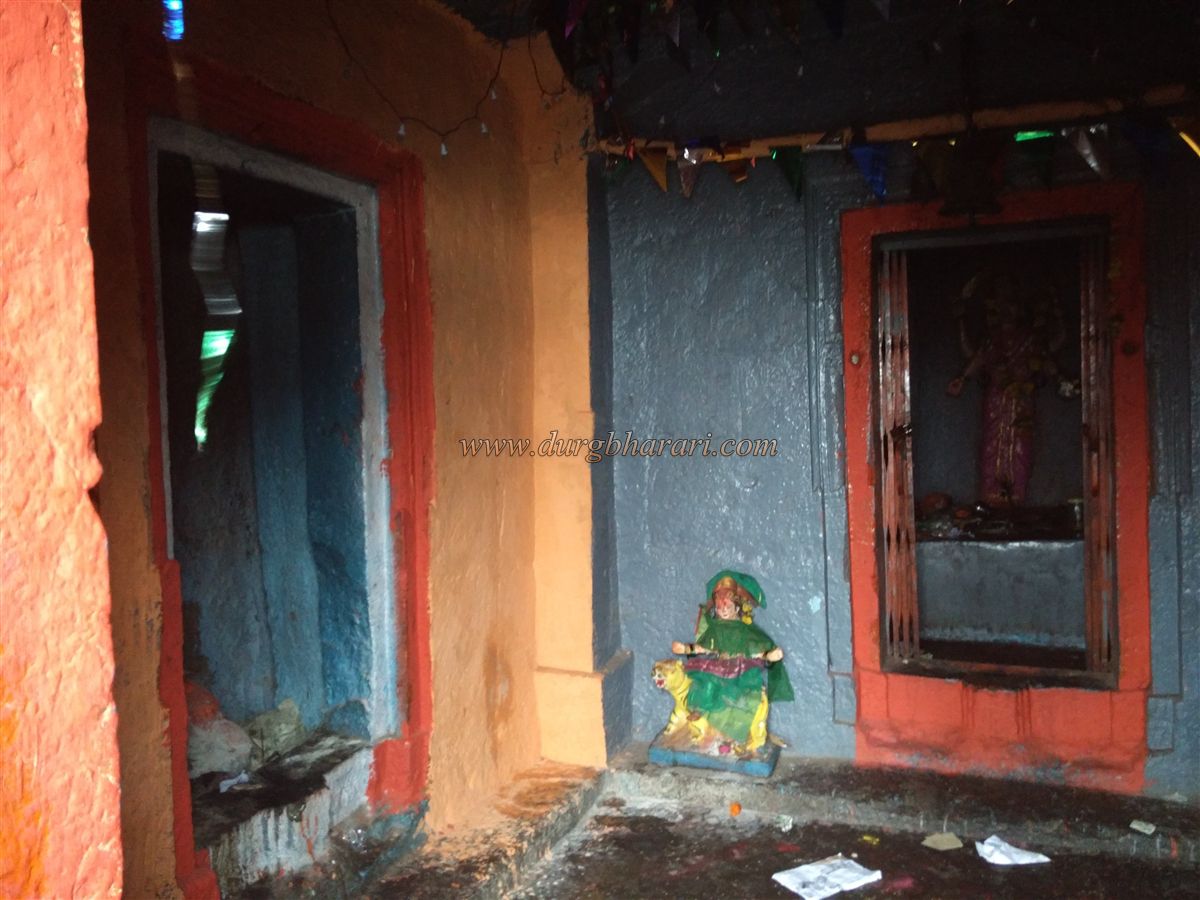
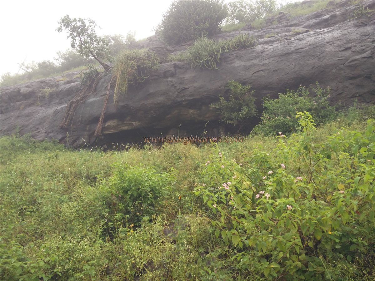
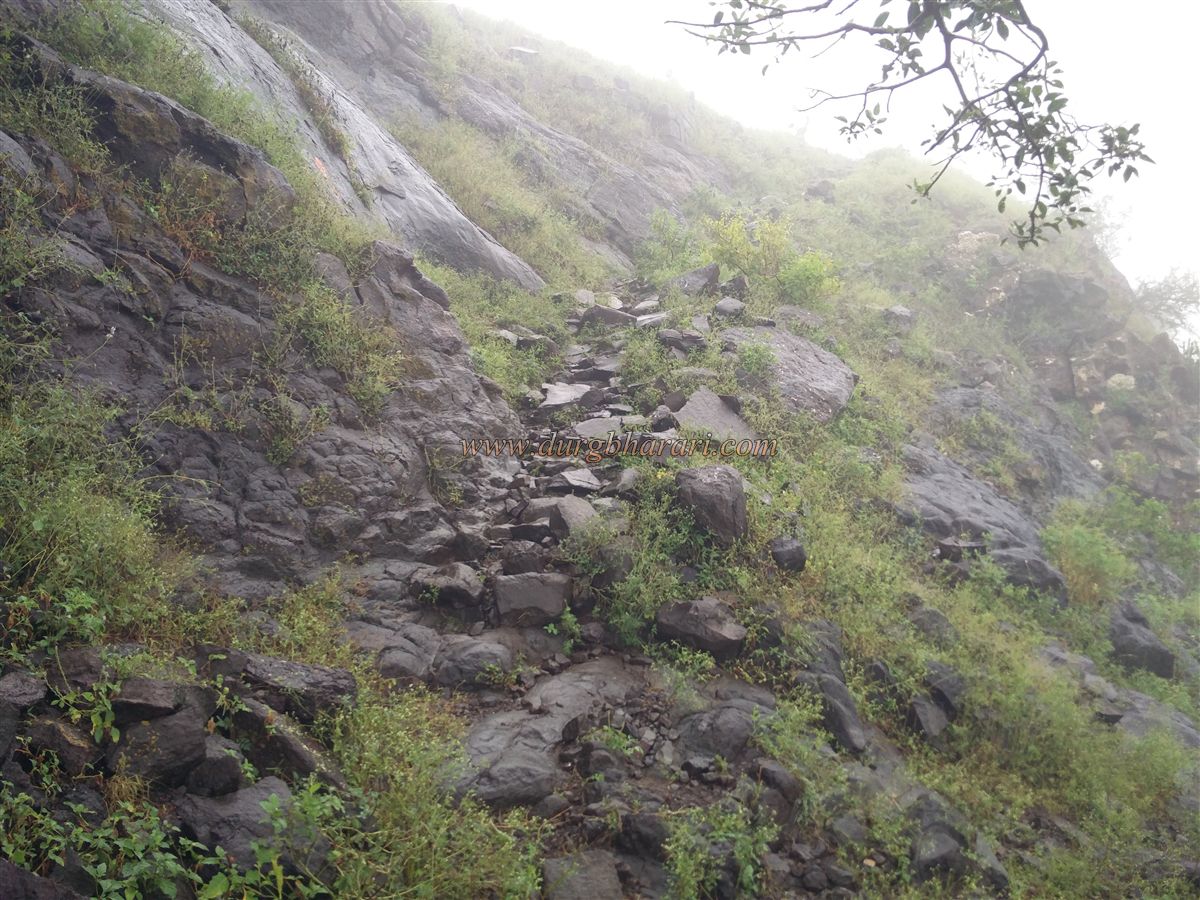
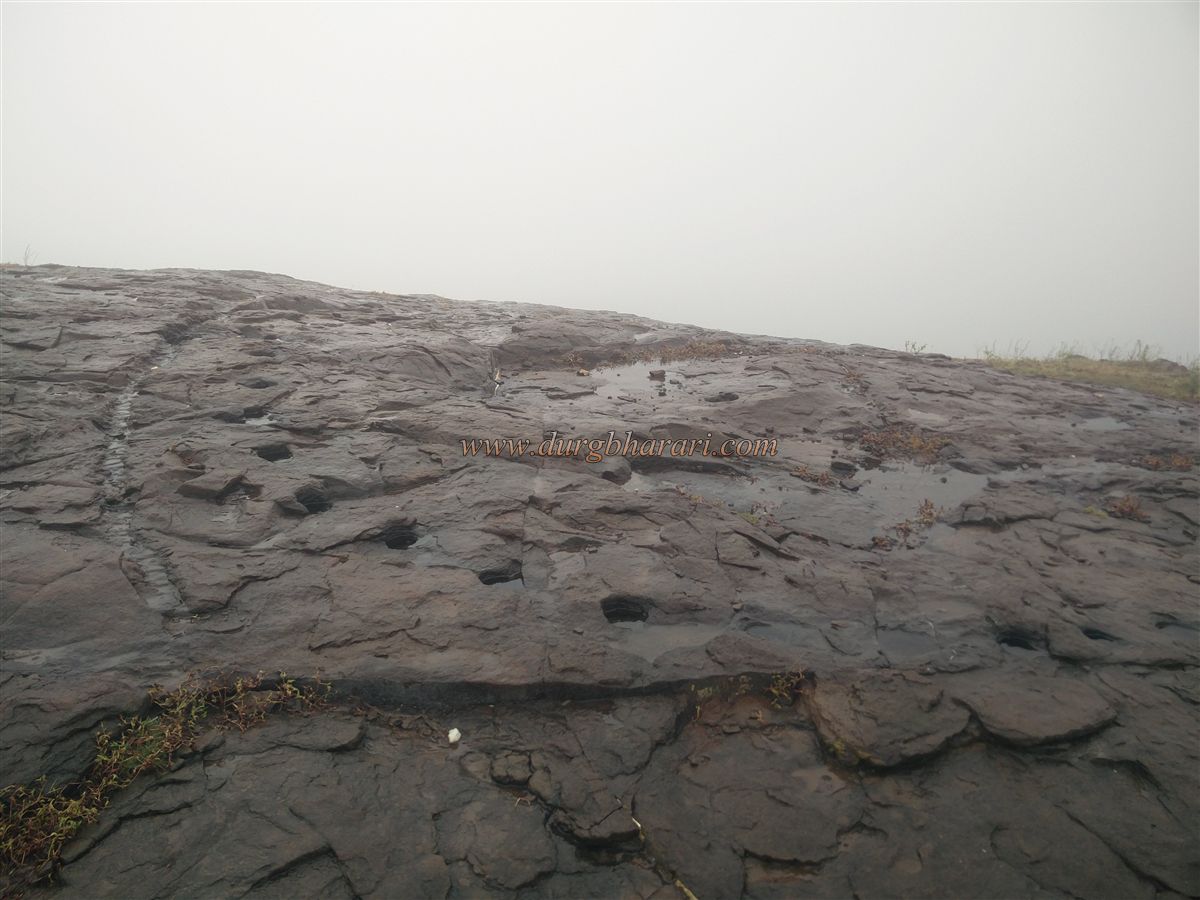
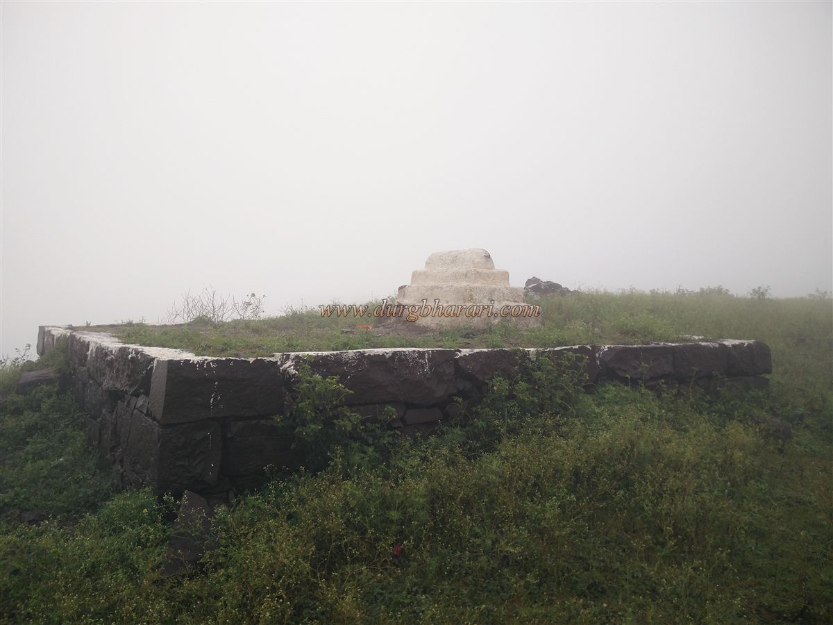
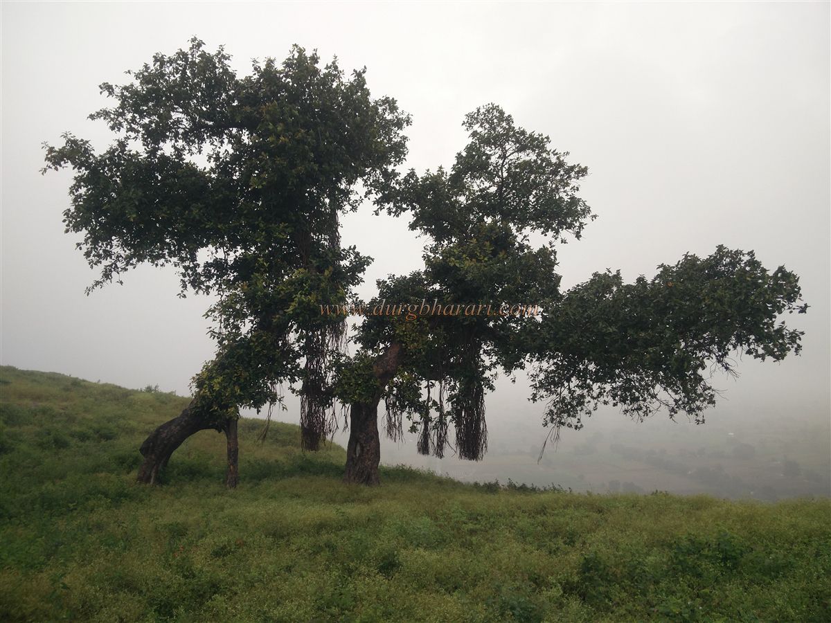
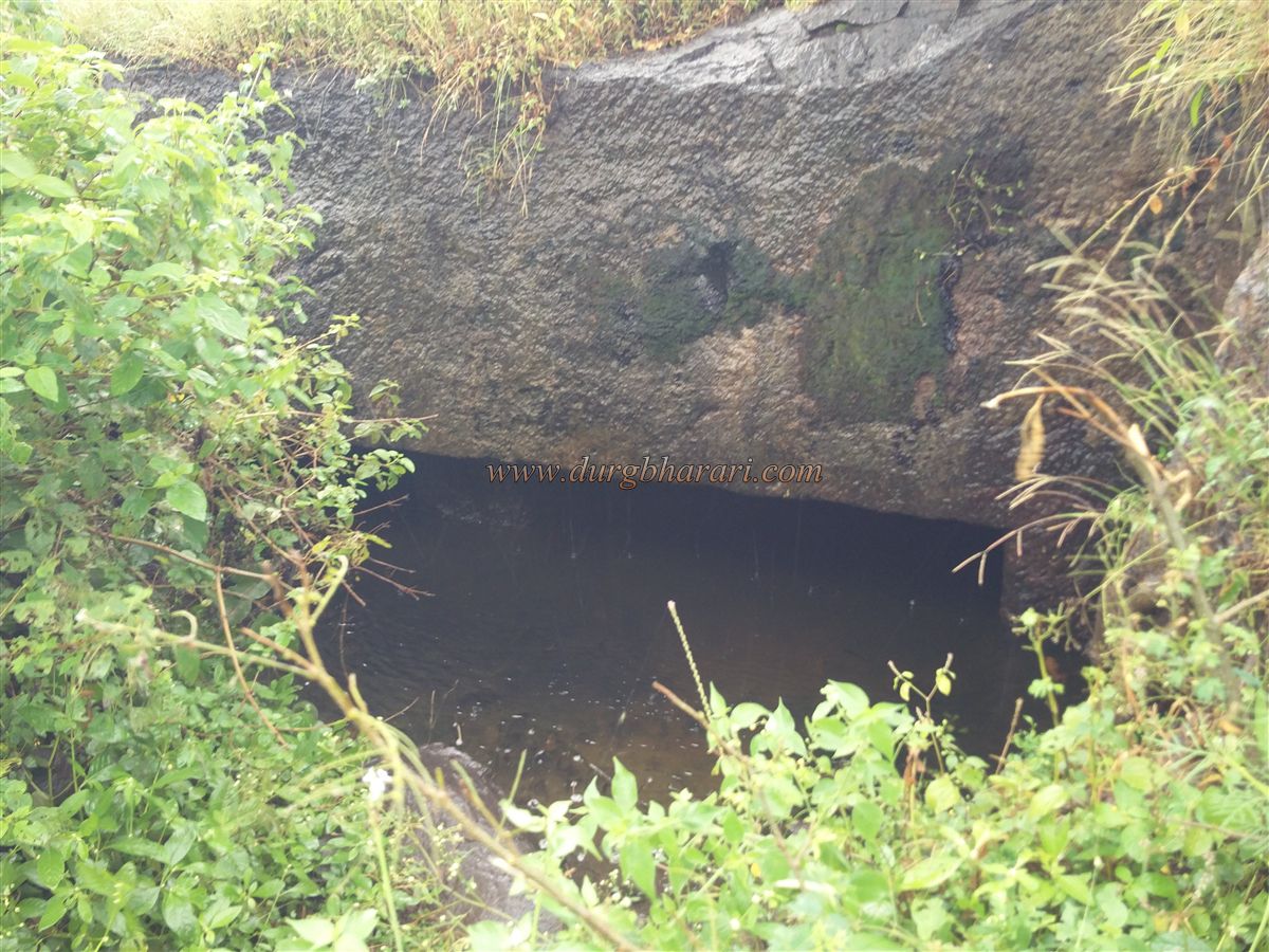
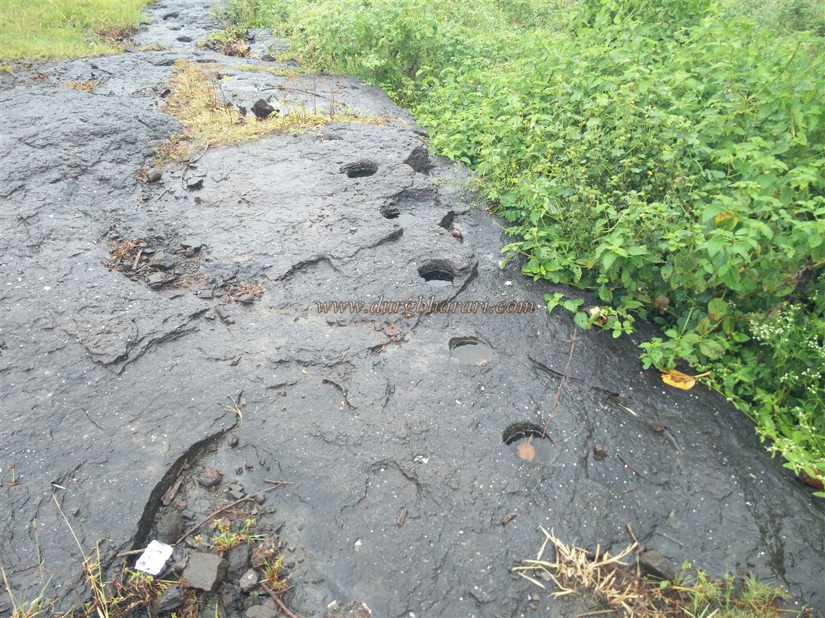
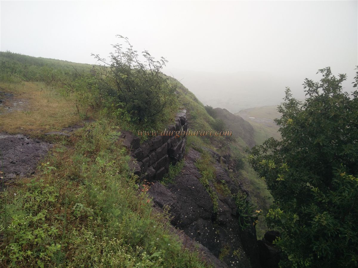
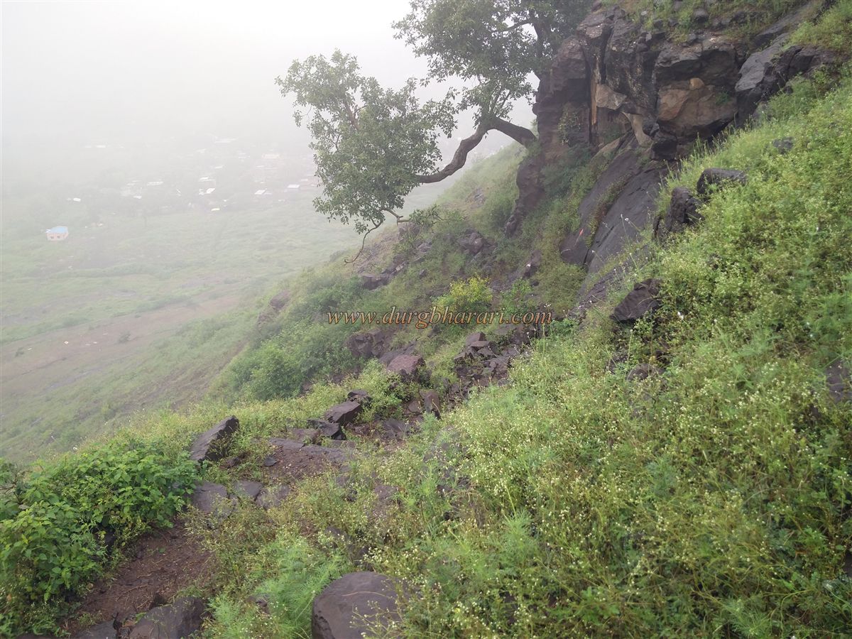
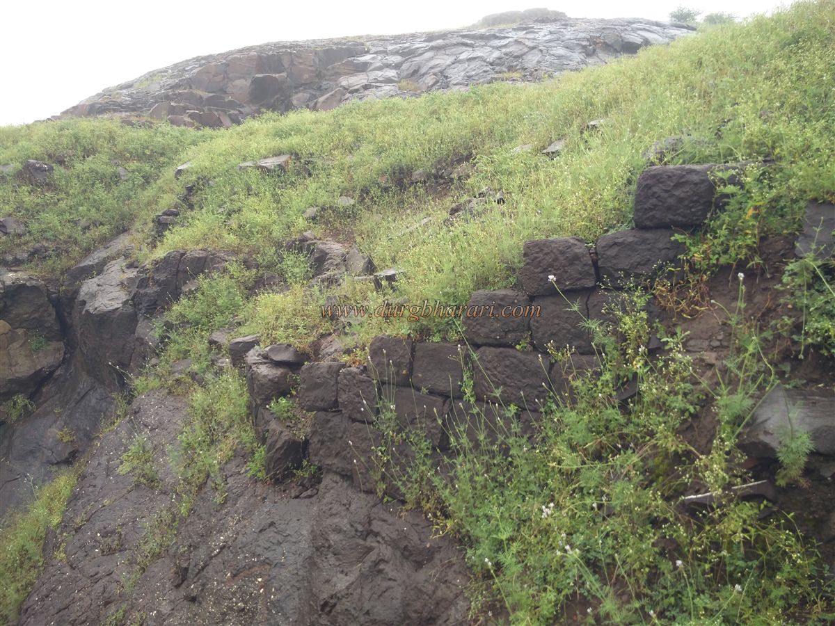
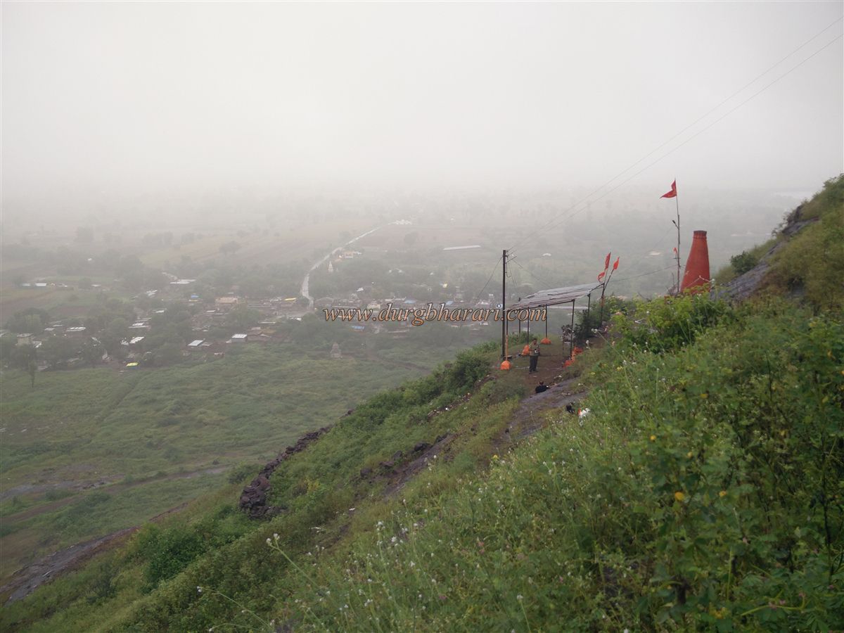
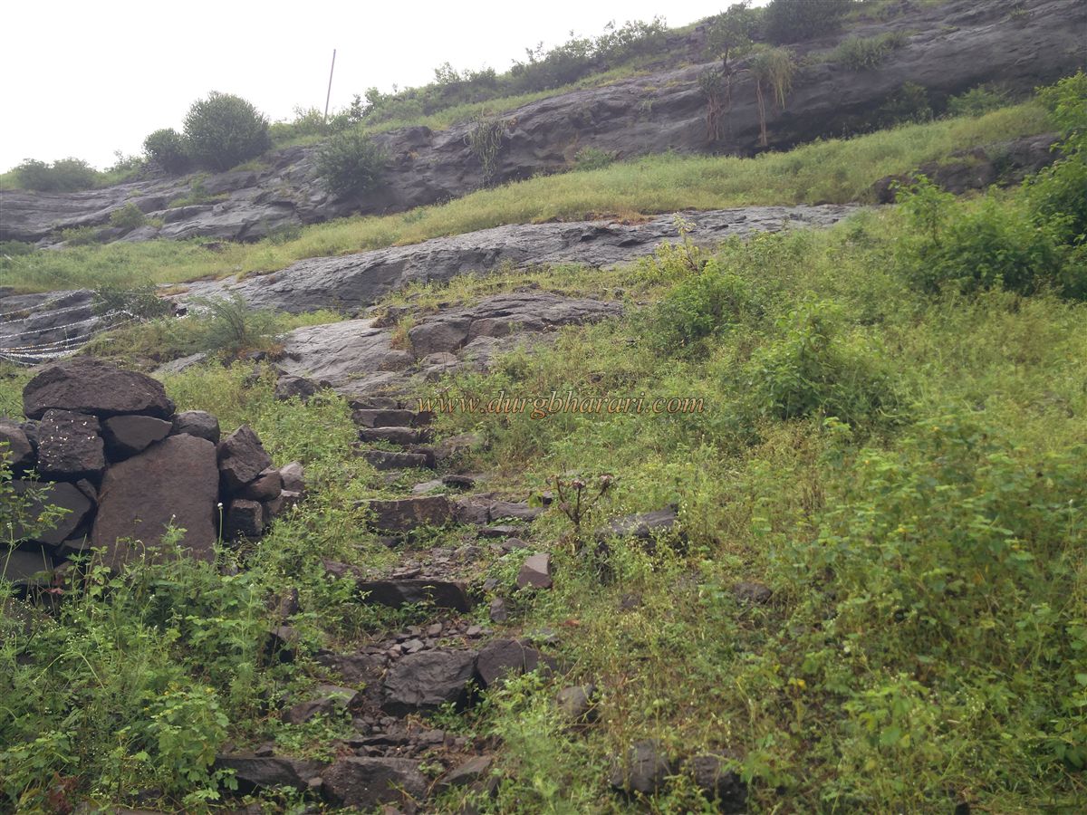
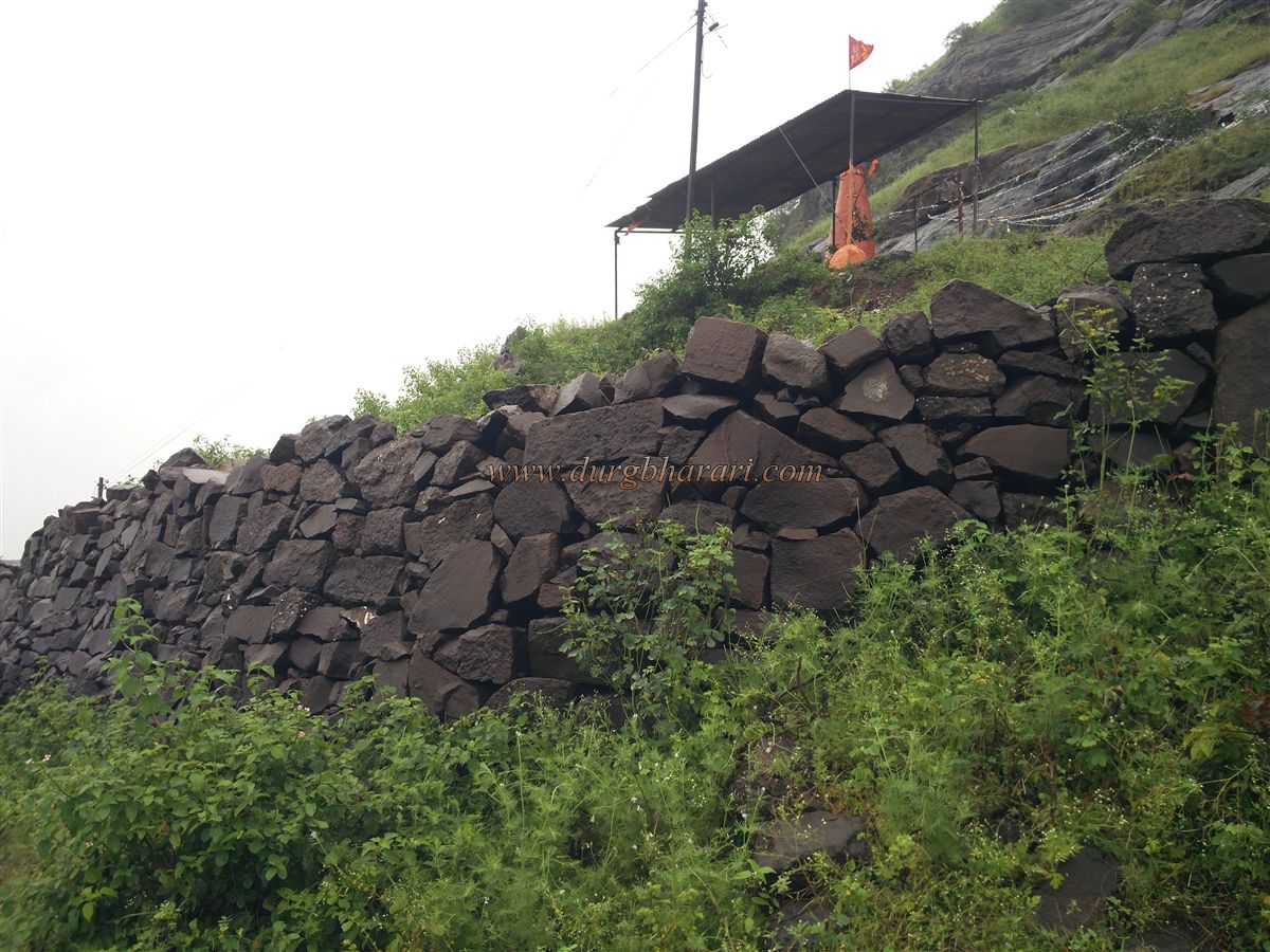
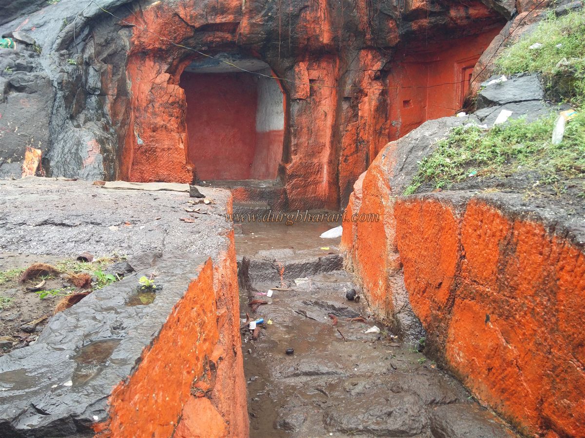
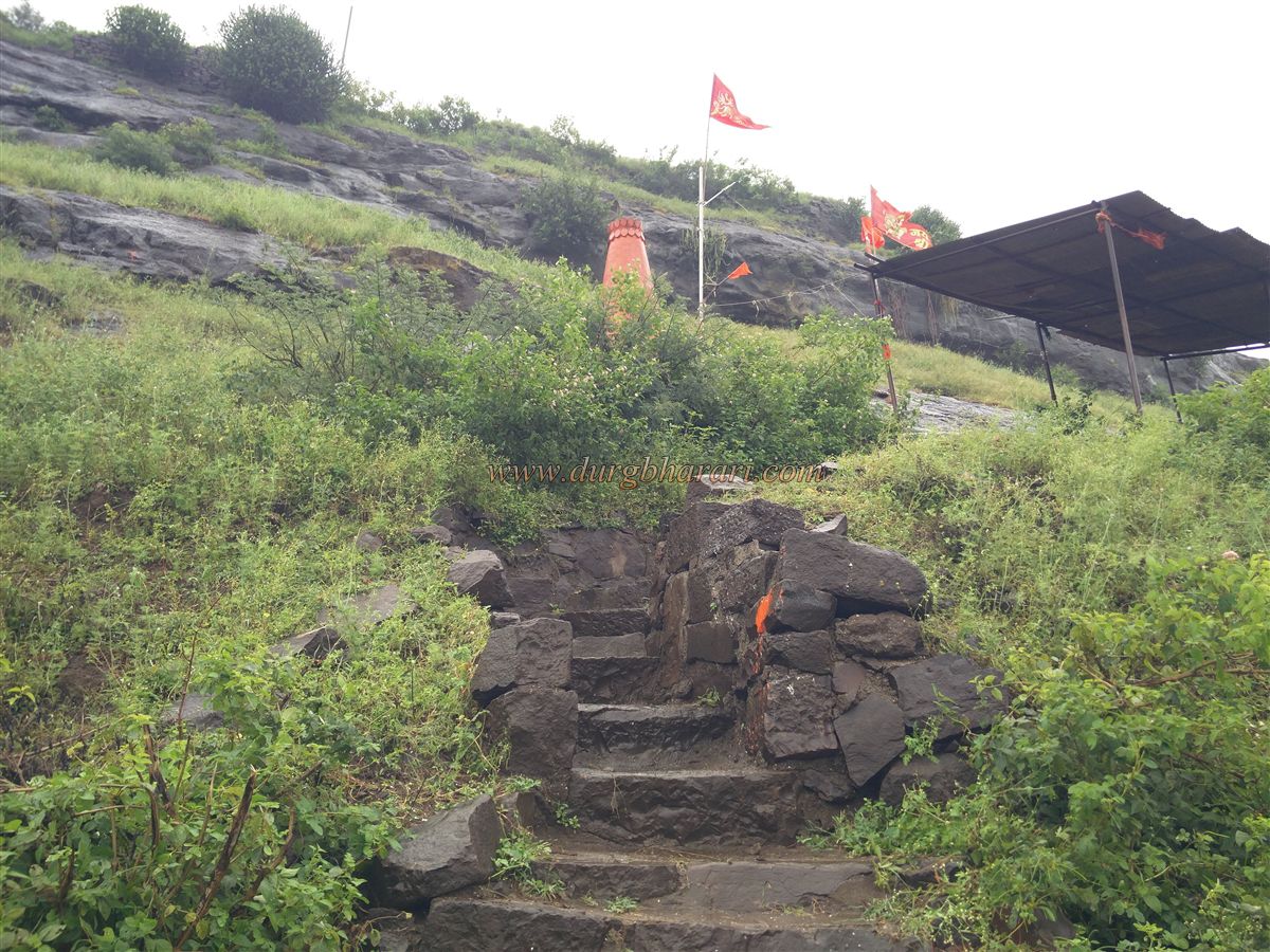
Manikpunj village is at a distance of 7 km from this fork. On entering the village, one can see the hill of the fort, which is separated from the main mountain range behind the village. There is a steep path from the village to the fort. As there is a temple of Bhavani Mata in the carved cave at half of the height of the fort, the villagers of Manikpunj have built steps to reach there and there are electricity poles up to this temple. 15 minutes is enough to reach this cave from Manikpunj village. The entrance to the cave is carved in the rock and the excavation of the cave is done in two parts. One of the caves has water cisterns and the other has three wells on three sides. In front of the door, a 5 feet high idol of Bhavani Mata is installed. There is a newly built Deepmal in front of the cave and there is a broken idol of Ganesha in the yard. We should go to the top of the fort after visiting the Bhavani Mata temple in the cave. Steps are carved into the cliff to the right of the cave to reach the head of the fort. At the bottom of this staircase is the old original road leading to the fort. The steps leading up to the cave are built in recent times. After climbing the steps carved in the rock, the path to the right leads you to the top of the fort, keeping the ridge to the left and the valley to the right. On the way, you can see the ruined ramparts of the fort on the edge of the cliff. The gate of the fort has completely collapsed and only the base remains. Through this ruined gate we enter the fort. Due to the low height of the fort, we reach the fort in half an hour from Manikpunj village. The head of the fort is spread over 7 acres from north to south and is 1970 feet above sea level. After reaching the top of the fort, you start your fort round in the direction of the hill in front. When you reach this hill, you can see a large water cistern carved in the rock on the left side, while on the right side, you can see a quadrangle structure of a building carved in the rock. The steps leading up to the quadrangle structure are also carved in the rock. When you come to this quadrangle structure, you will see the tomb in place of the flagpole on the top and when you go down from there, you will see some stones with Shendur applied on them under a tree. At this place, ramparts are built on the slopes. After descending the hill, turn left and you will see a pillared water cistern carved in the rock near a big tree. This cistern is partially extinguished. A third small but deep water cistern is visible from this cistern. This cistern contains a large amount of soil. When you see these cisterns, you can see the built cisterns carved in the rock on the slope of the hill. Since these cisterns are on a slope, they are filled with soil. Following this path straight ahead we reach the entrance to the fort. This part of the gate has some ramparts remaining. Going straight ahead without going down from here, we reach the northern end of the fort. At this point, the northern end of the fort is separated from the next hill by making a big ditch in between. Returning to the door from here, your fort round is complete. As you walk around the fort, you will see pits dug in the ground for removing stones used in the construction of the fort. Ankai-Tankai, Gorakhgad, and Katra forts can be seen from the top of the fort. As the head of the fort is small, half an hour is enough to see the fort. Manikpunj fort is mentioned in the battle between Bahmani and Gujarat Sultan in the early 16th century. Apart from this, on the bank of the lake in the village, there is an ancient temple of Shambhu Mahadev, and many beautiful idols, carved pillars, and carved stones can be seen around this temple.
© Suresh Nimbalkar
GALLERY