MANIKGAD
TYPE : HILL FORT
DISTRICT : CHANDRAPUR
HEIGHT : 1650 FEET
GRADE : EASY
The southern part of Chandrapur district is covered with dense forests. The city of Gadchandur in this area is famous everywhere because of the Manikgad Cement Factory located here. But the fort after which this factory was named “Manikgad” has remained largely unknown. There are two forts in Maharashtra named Manikgad—the one in Raigad district is well-known among fort enthusiasts, but information about the Manikgad Fort at the edge of Maharashtra in Chandrapur district is not easily available.
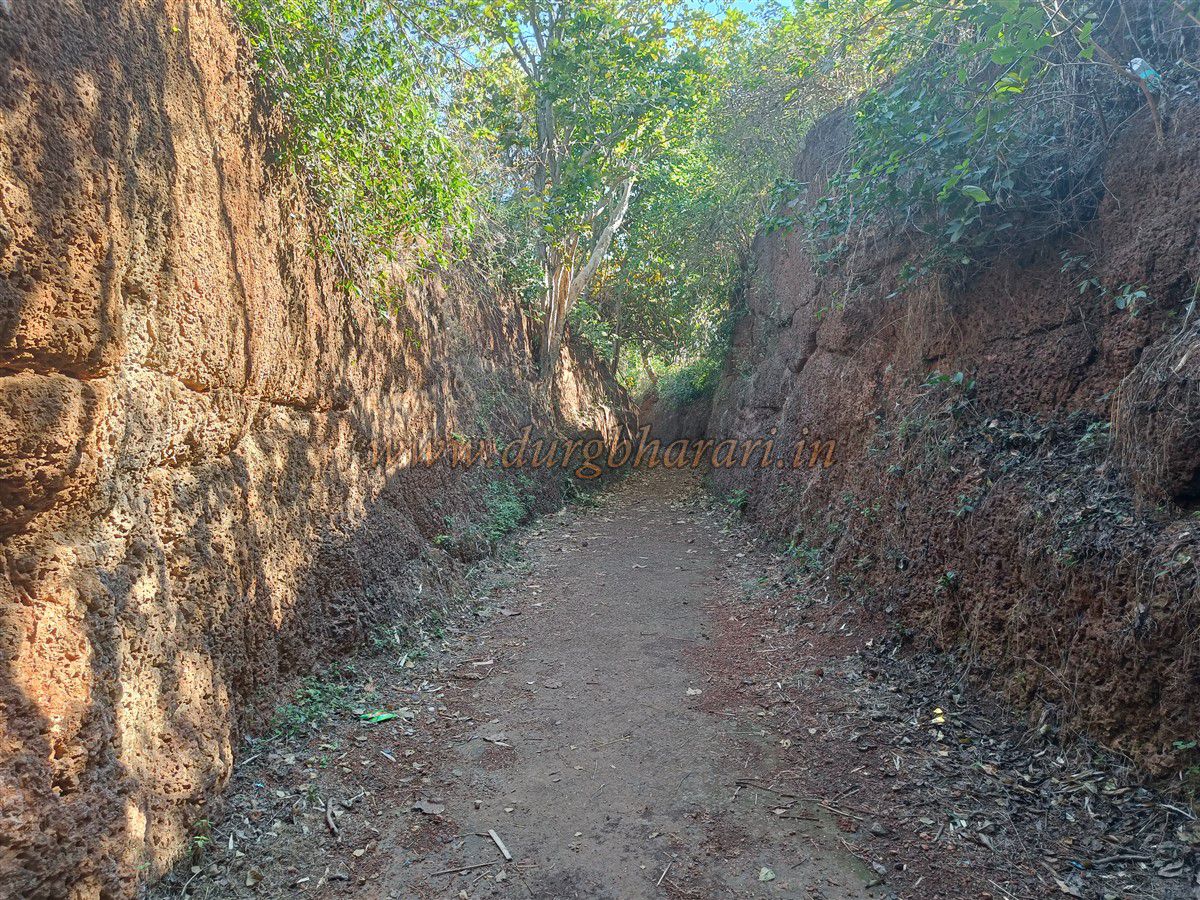
This fort, near Gadchandur city in Korapna taluka, is located 11 km from Gadchandur on the Gadchandur–Jivati road, resting amidst thick vegetation. From Gadchandur, a private vehicle can take you directly to the parking area near the fort. Since the fort is under the jurisdiction of the Forest Department, an entry fee of ₹10 per person is charged.
...
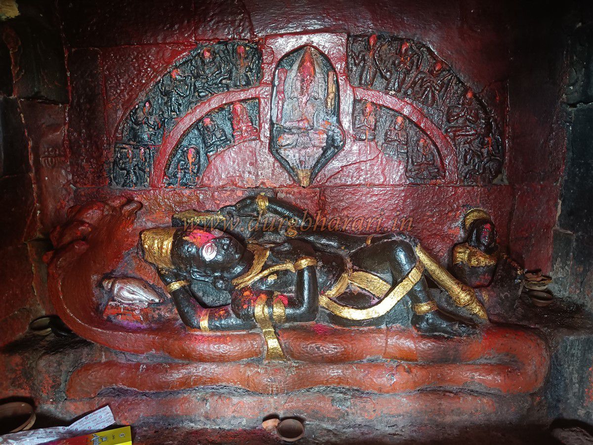
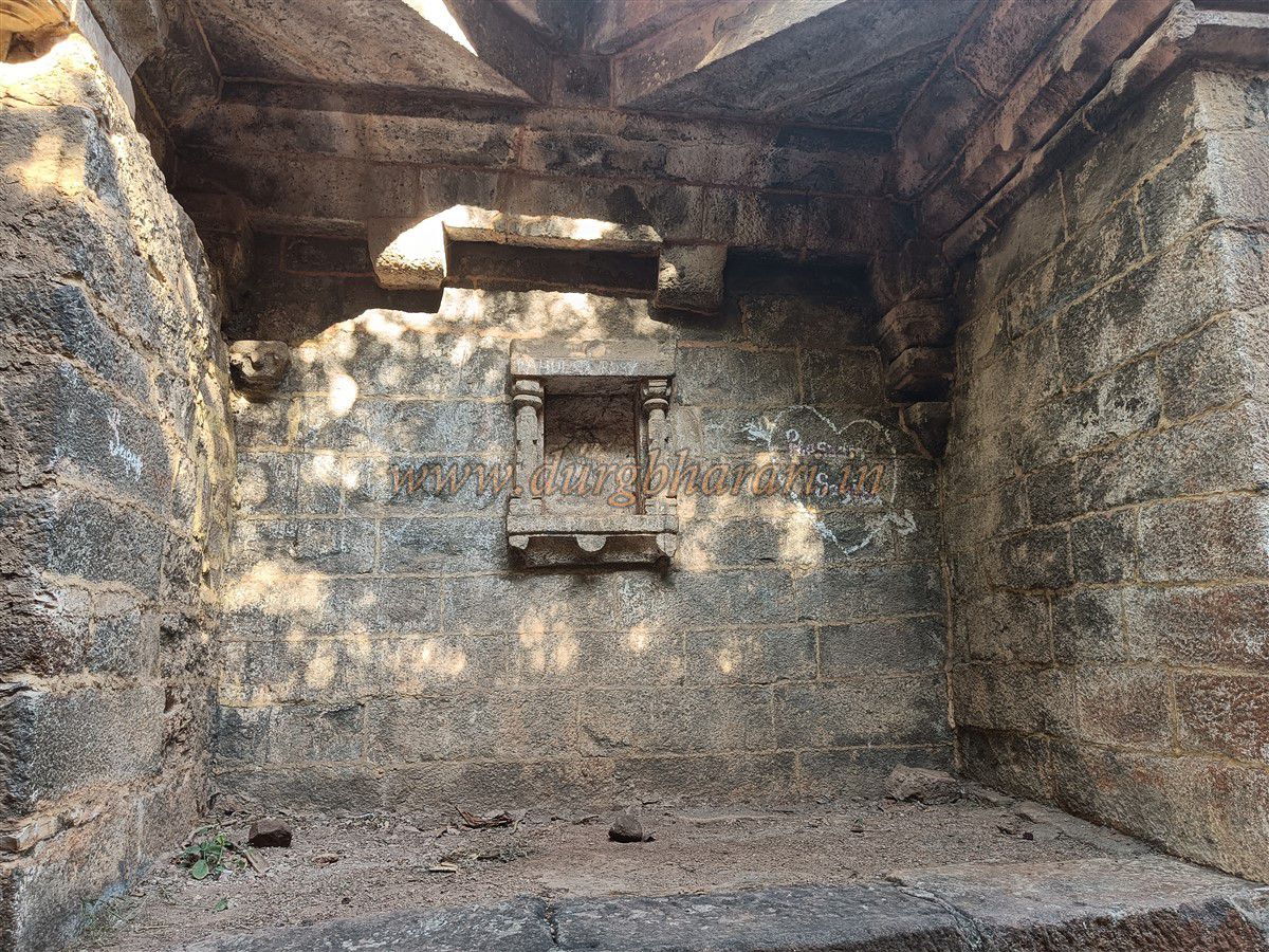
From the Forest Department outpost, a 5-minute walk to the left into the valley takes you to an ancient Vishnu temple. This temple is built on a stone platform, with its stone roof supported by 21 intricately carved pillars. The bases of these pillars have carvings of deities, as well as some erotic sculptures in places. The entire temple is richly decorated. It has two sanctums—one housing Seshashayi Vishnu, the other a Shiva lingam. Behind Vishnu, the halo is carved with the Dashavatar. Next to the temple is a sacred water tank (pushkarni) that has potable water year-round. Within the temple premises are other carved sculptures and deity statues.
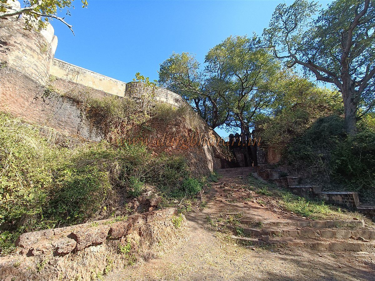
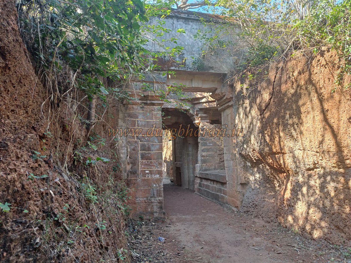
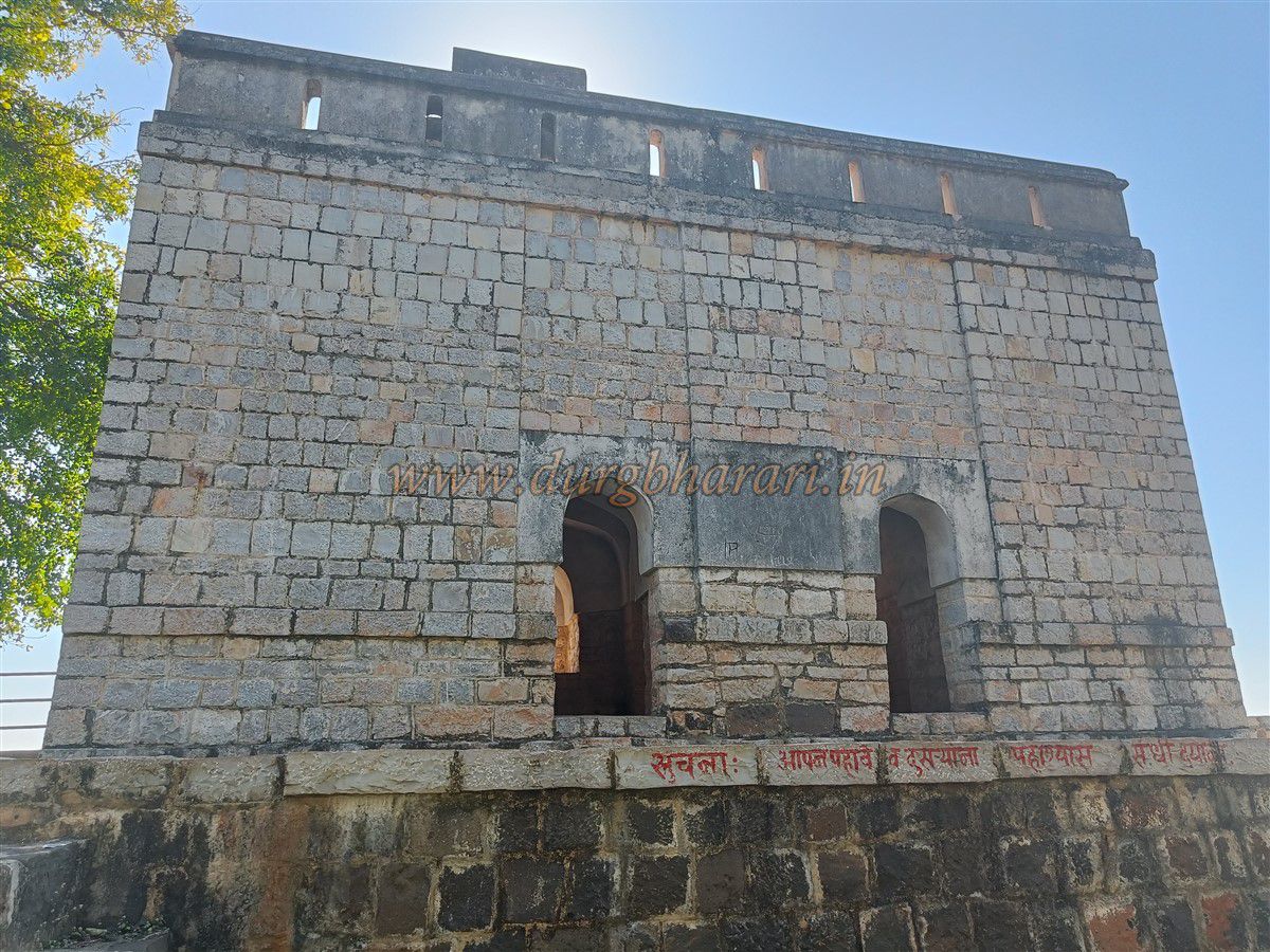
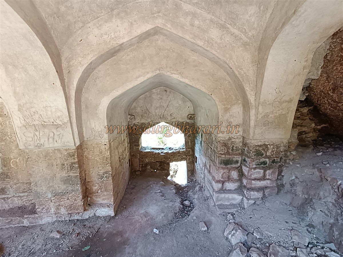
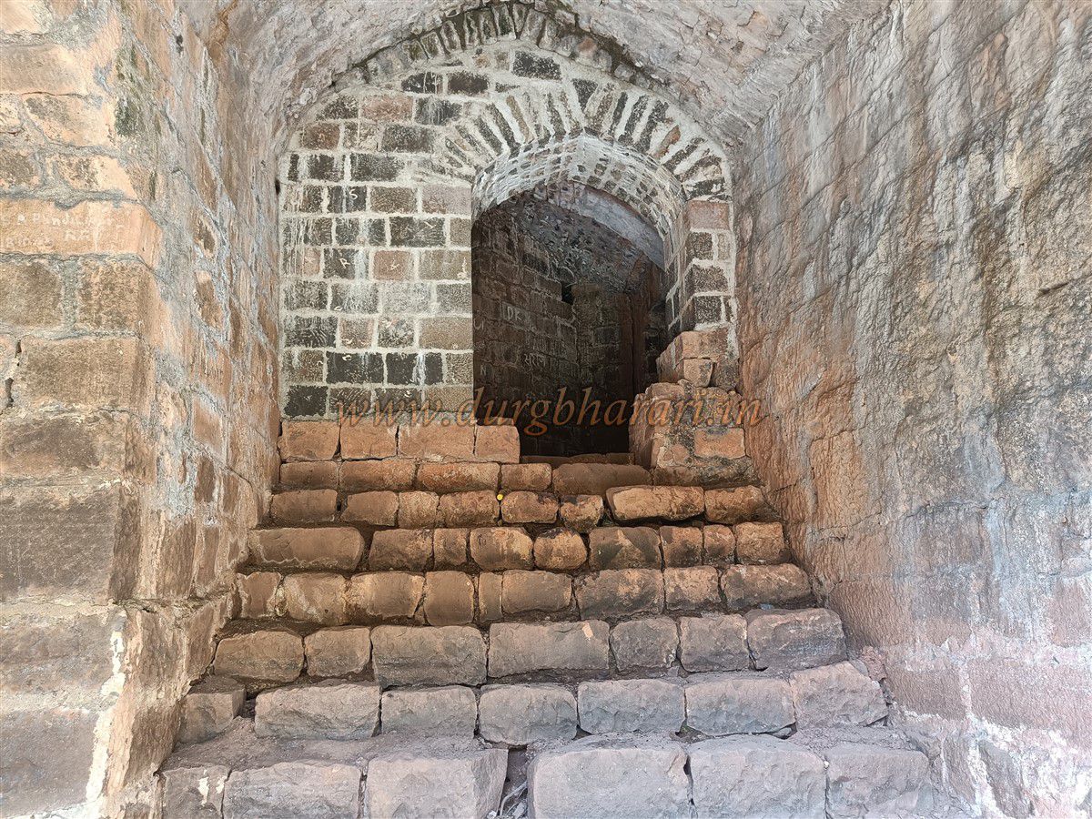
After visiting the temple, one returns to the Forest Department outpost. From here, a dirt path in front leads in 5 minutes to the north-facing entrance of the fort at the edge of a valley. This gate is still in good condition, having undergone partial restoration. On either side of the entrance façade are carvings of lions mounted on elephants—symbols of the Gond dynasty—along with wyverns, snake motifs, and other carvings. Passing through the gate leads into a courtyard enclosed on all four sides by fortifications.
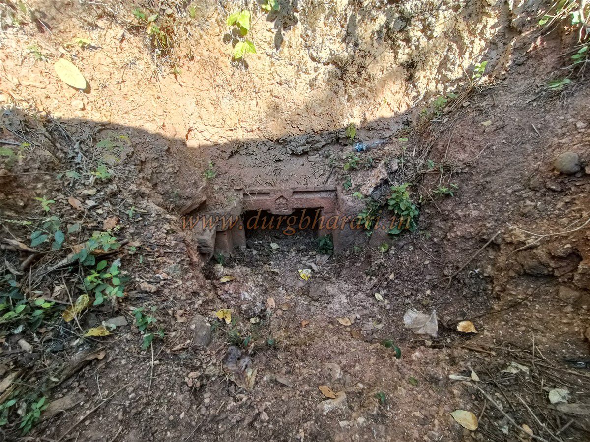
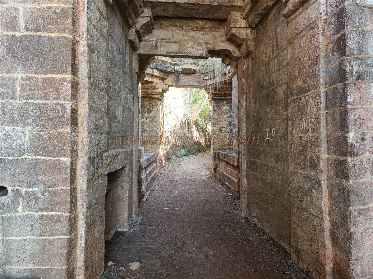
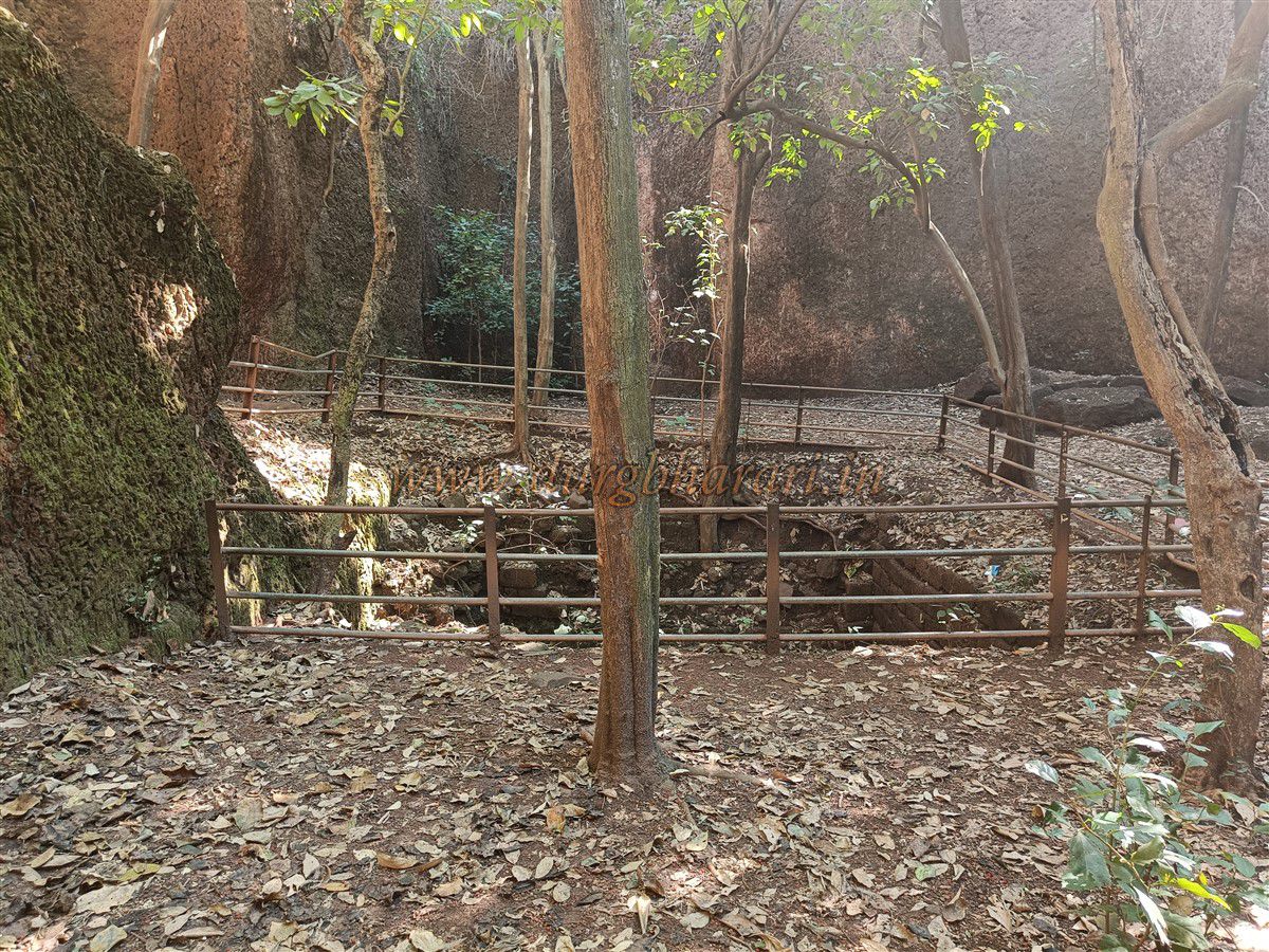
In front, along the fort wall, is a constructed water tank, and beside it the entrance to an underground passage leading outside the fort. This doorway is partially blocked by accumulated soil, but a carving of Lord Ganesha can be seen on the lintel. Inside the main gate, at a right angle, is the second, west-facing gate of the fort, within range for defensive attacks from the ramparts above. This second gate is artistically built, with guard chambers on both sides that have some carved work.
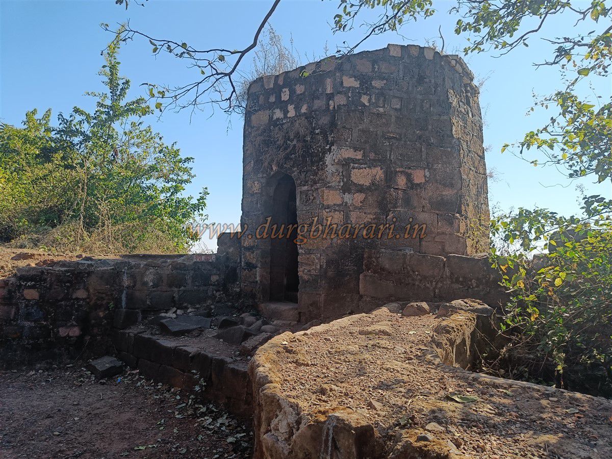
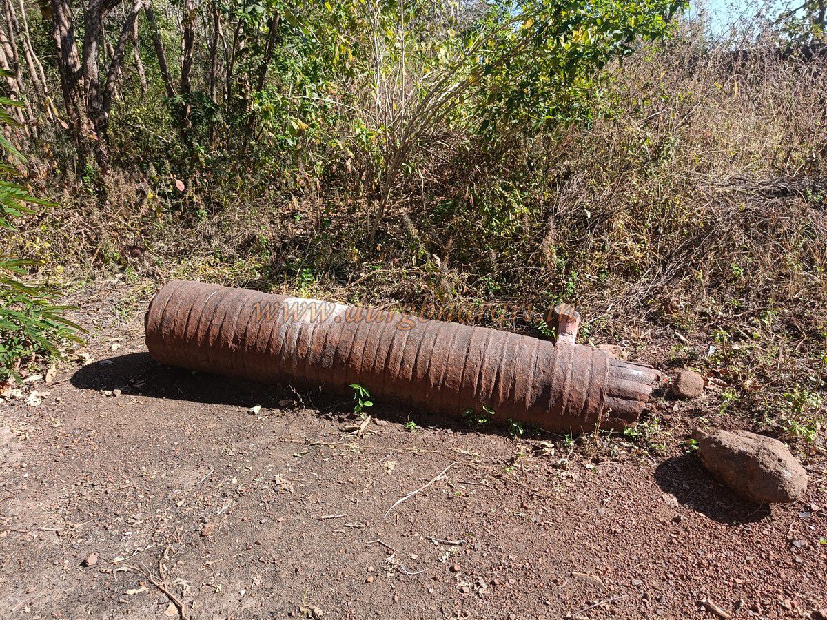
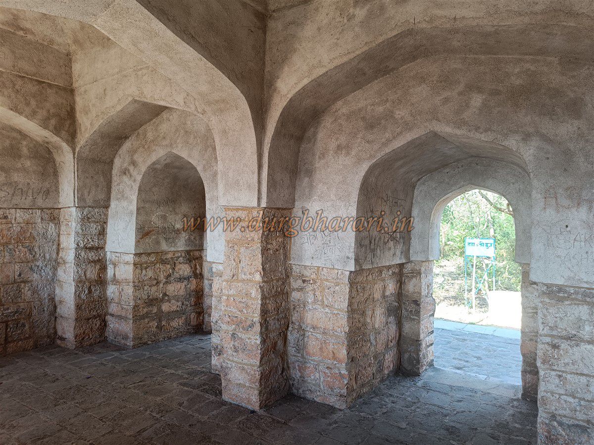
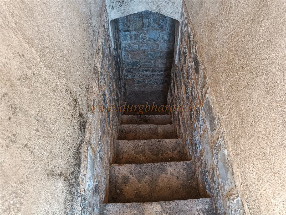
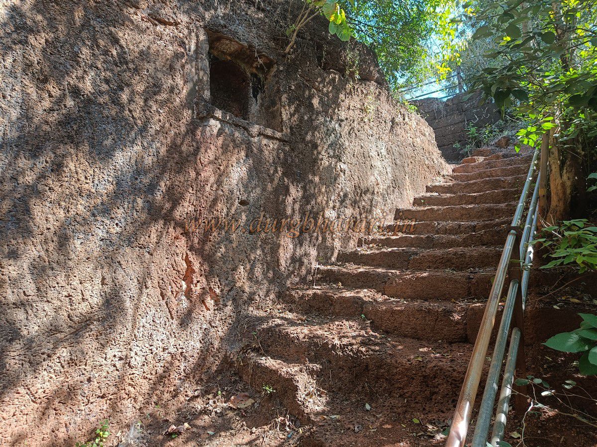
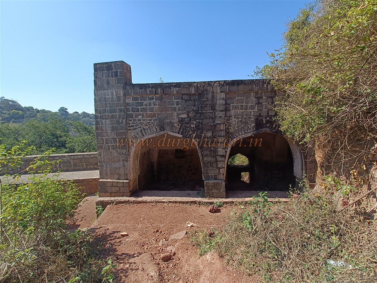
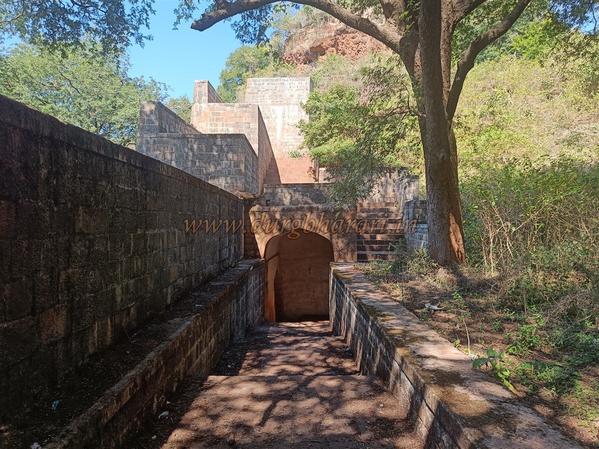
The fort is built into the side of a gorge, with this second gate located at its start. A little ahead, the path splits in two, where a board marks the fort’s ruins. Taking the right-hand path along the fort wall begins the fort tour. The path starts at a bastion with a stone-built sentry post resembling Portuguese capsule bastions. Further along, near the wall, is an 8-foot-long “Bangle Cannon.” Continuing on leads to the observation bastion, at an elevation of 1,650 feet above sea level. Here, the Forest Department has restored a structure believed to be a royal audience hall, with two doorways and a stone-arched roof. A staircase inside leads to the roof. In front of this bastion is a broken cannon, and inside the forest are the foundations of other buildings. Nearby is a lime-soaking tank.
Further ahead, the path splits again near a Forest Department shelter. Taking the left path leads to a massive square well measuring 80x80 feet in width and depth, created by quarrying stone for the fort. Both built and carved steps descend into it, though many are worn. On the left wall inside is a small carved shrine. Within the well is another smaller well, 15x15 feet that holds water year-round. This area has been fenced for protection.
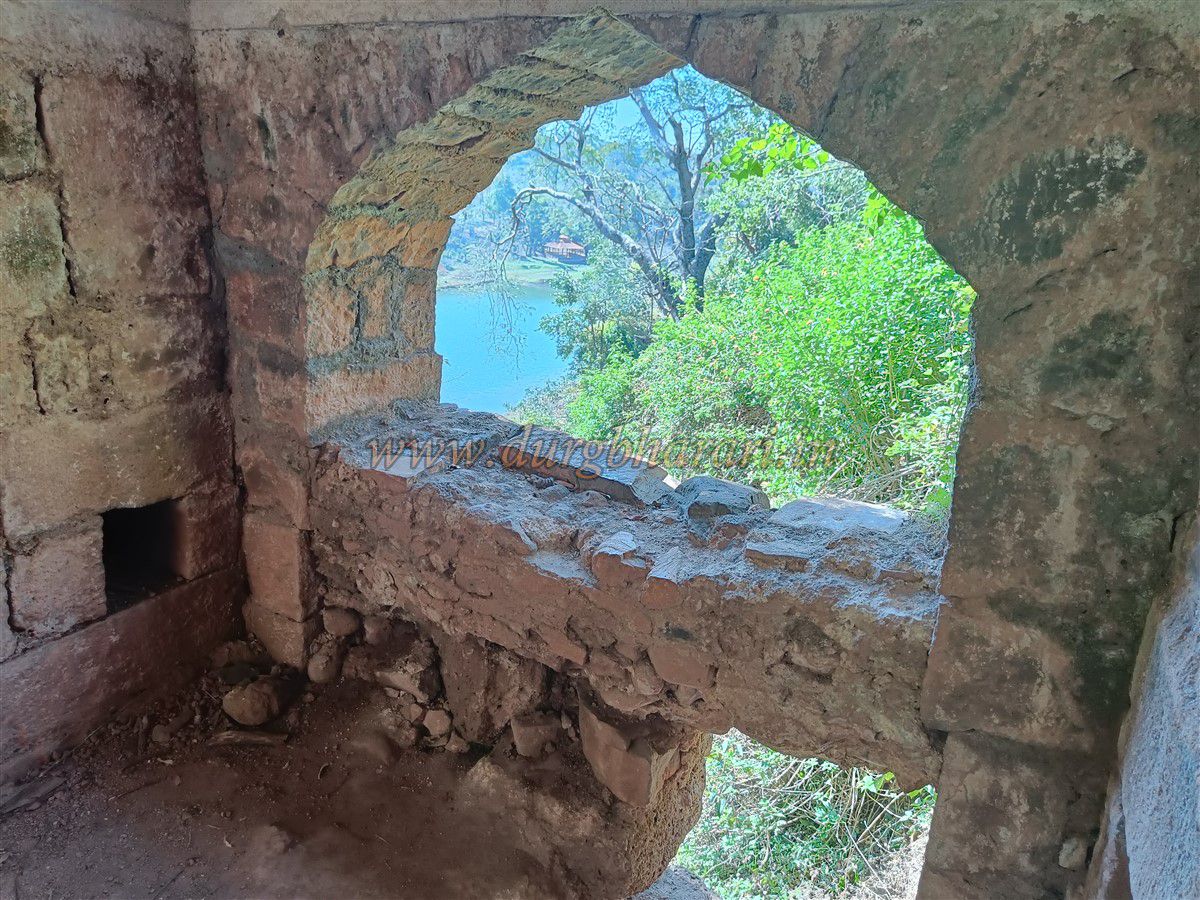
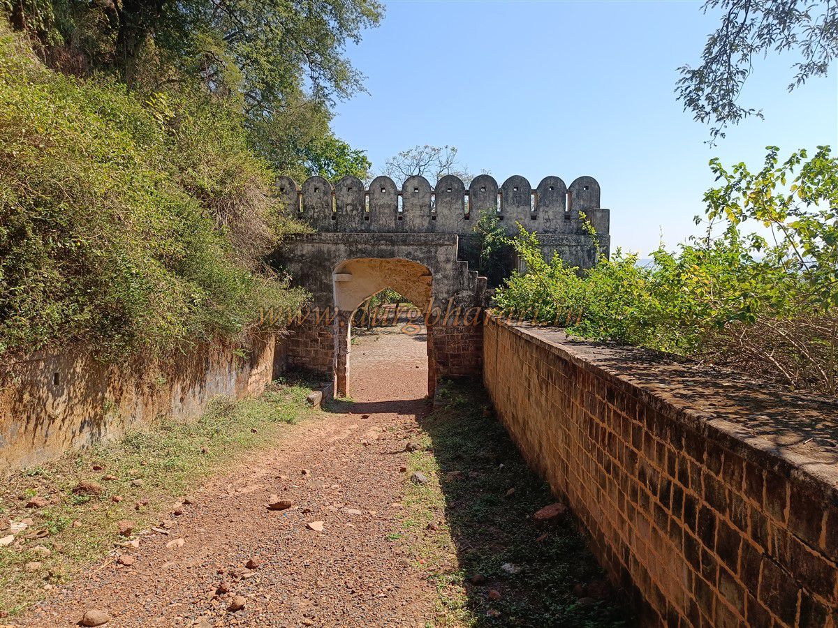
Returning to the main path, further ahead is an 8-foot-high gateway known on maps as “Horse Stables” (Ghodyachi Paga). However, this is actually a rectangular well now filled with soil, with a pulley system on one side and a doorway on the other. Continuing brings you to the opposite end of the fort, where a large bastion offers views all the way to Gadchandur. A small path here leads outside the wall—this is the fort’s escape route.
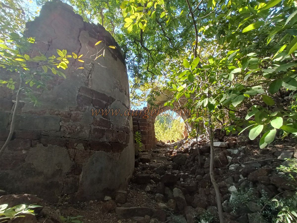
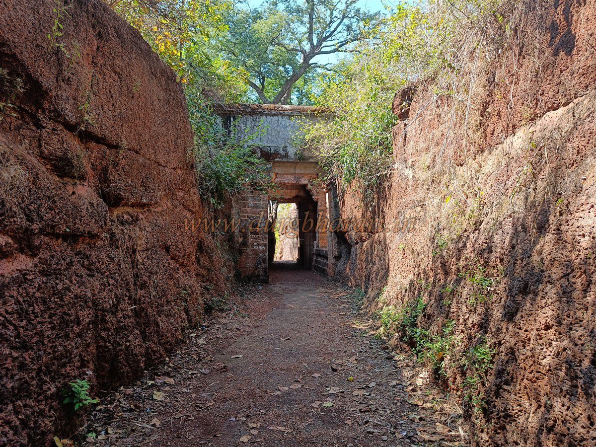
Following the wall leads to the Nijamgondi Gate, similar in design to the gorge entrance gate. This gate has been destroyed by water flowing down the slope, but the Forest Department has built a retaining wall to channel the water. Continuing on a worn path brings you to Ganpati Chowk, a junction where several fort paths meet. A Ganesha idol found elsewhere on the fort has been placed here. From here, the left path goes to the main entrance, while the right path leads to the Queen’s Palace and tanks.
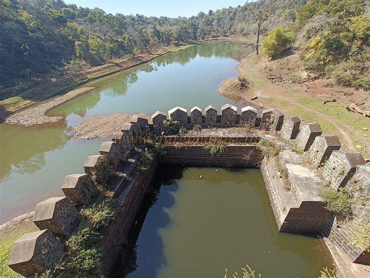
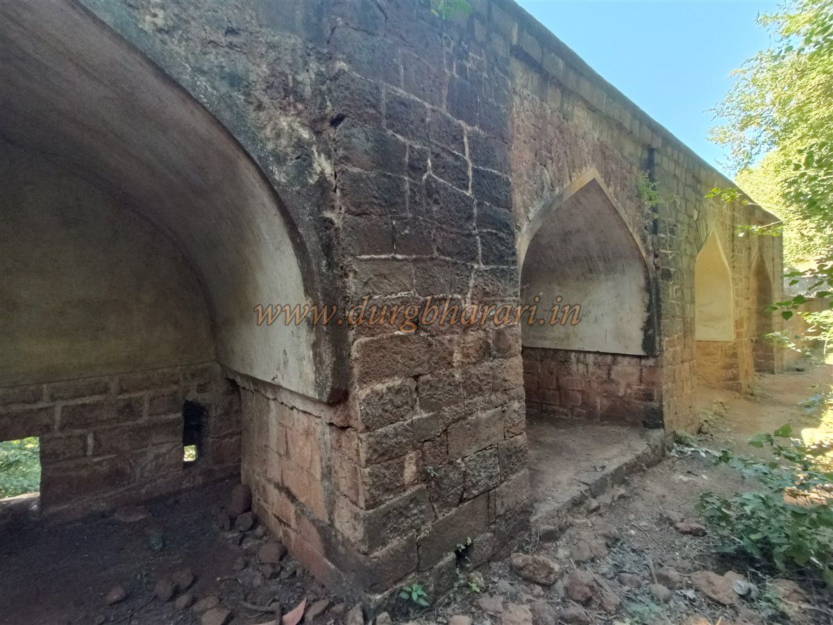
On this path, notches (charya) in the wall used for defense can still be seen. Descending further reveals numerous ruins, until you arrive at the Queen’s Palace—the most beautiful structure on the fort. Outside the wall is a large tank, with broad fort walls containing chambers facing the tank. A rectangular bastion juts out toward the tank, housing the reservoir. Inside the wall are two-story chambers—the upper level for living, the lower level with doors to the bastion tank and outside.
Inside the fort, a large overgrown reservoir can be seen. The rest of the wall ahead is inaccessible due to dense growth. Returning to Ganpati Chowk and taking the left path brings you back to the main entrance.
The fort covers around 95 acres and can be toured in about three hours. From ancient times, various dynasties ruled Vidarbha, building forts according to the era. After the Satavahana, in the 9th century, the Nagavanshi rulers of the Mana tribe established power here, ruling until the 12th century, and building forts like Vairagad, Manikgad, and Surjagad. Records suggest that King Mahindu (or Gehlua) of the Nagavanshi Mana dynasty built Manikgad Fort in the 9th century, naming it after the family deity Manikyadevi. Snake carvings on the gates support this.
In the 13th century, the Gond dynasty rose to power in Vidarbha, capturing and renovating forts like Vairagad, Manikgad, and Surjagad. The Gonds ruled for about 400 years, leaving their cultural imprint on the fort—the lion-on-elephant emblem at the entrance is their royal symbol. Apart from early conflicts, the Gonds later became vassals to Muslim rulers, avoiding major wars. Gond-era forts still seen in Vidarbha include Nagardhan, Bhadrawati, Ramtek, Nagpur, Pawni, Mahurgad, Ambagad, and Bhivgad.
In the early 18th century, internal disputes among the Gonds led to Nagpurkar Bhosle gaining dominance, establishing Maratha rule. In 1790, Nana Saheb Bhosle carried out repairs on the fort. In 1818, during Appasaheb Bhosale’s reign, the fort was captured by the British in the Anglo-Maratha War. After the death of Raghuji Bhosle of Nagpur without an heir, the British annexed his state, incorporating this region into their empire.
© Suresh Nimbalkar
GALLERY