MANGALGAD
TYPE : HILL FORT
DISTRICT : RAIGAD
HEIGHT : 2450 FEET
GRADE : MEDIUM
The city of Mahad has a glorious history dating back to the seventh century. The Pali word “Mahahat”, meaning big market, was later converted to Mahad. Mahad was the largest market in the area. Large scale trade was carried on by boat from the Savitri river. The goods unloaded at Mahad used to go to the markets on the top of the wharves through Bhopghat, Warandh Ghat, and Aswalkhind. To protect this trade route, a chain of forts like Daulatgad, Songad, Mahendragad, Chandragad, and Mangalgad were built on the wharf route. When Shivaji Maharaj chose Raigad as the capital of the Swarajya, forts like Konkandiva and Mangalgad were built on the way down to Konkan from the top of the wharf for the protection of Raigad. These forts gained more importance as they had to protect their capital fort.
...
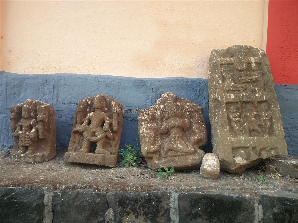
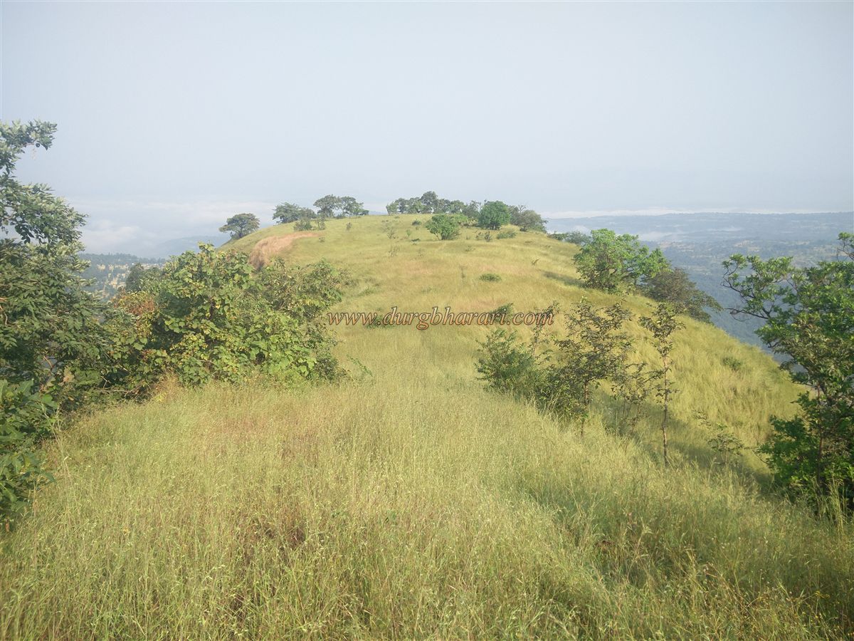
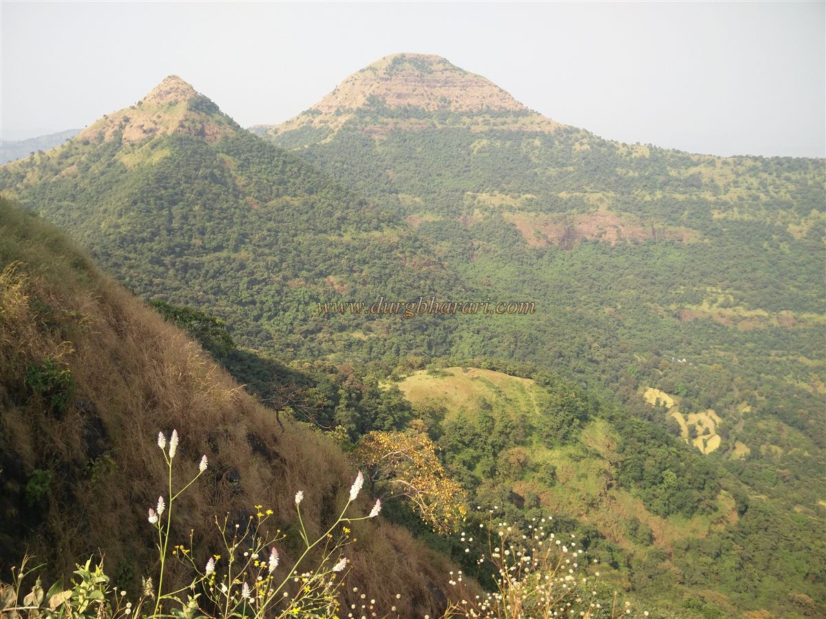
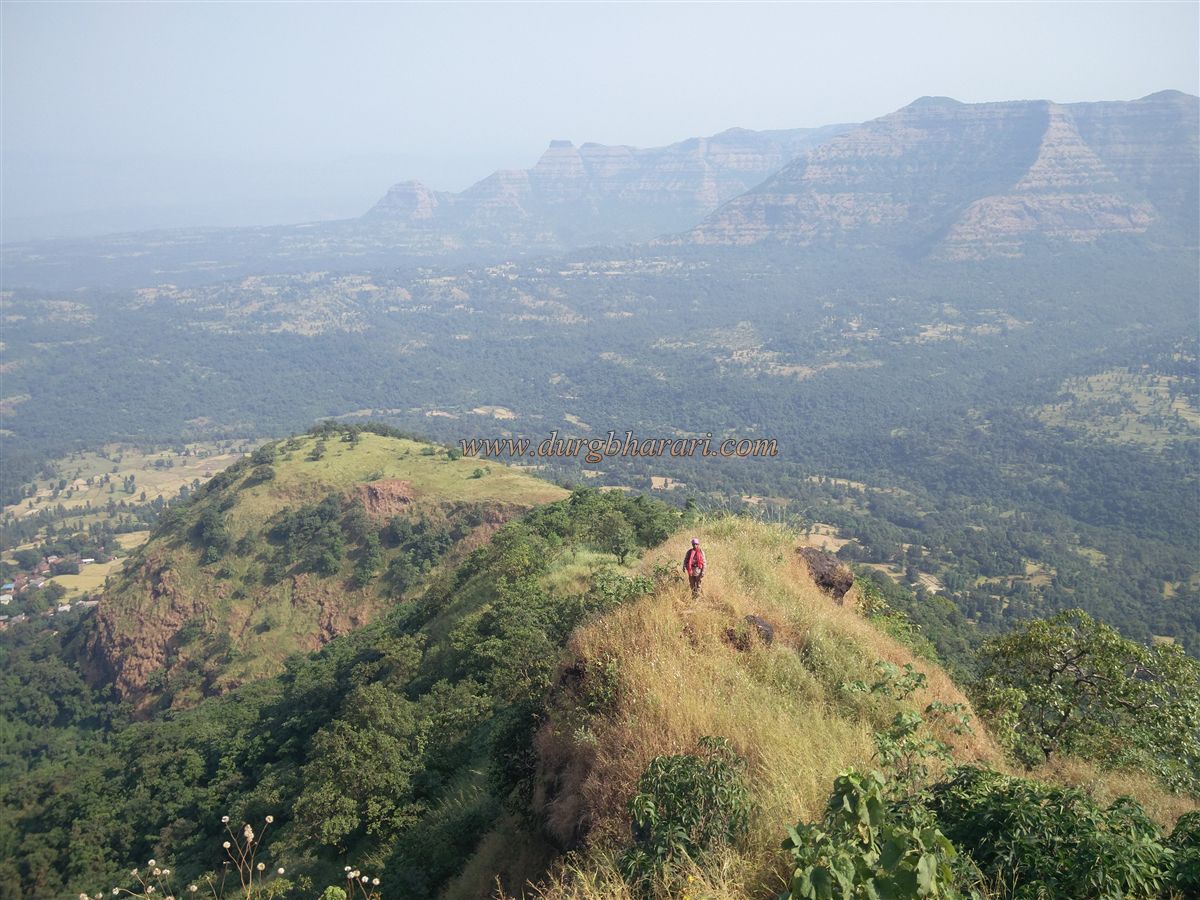
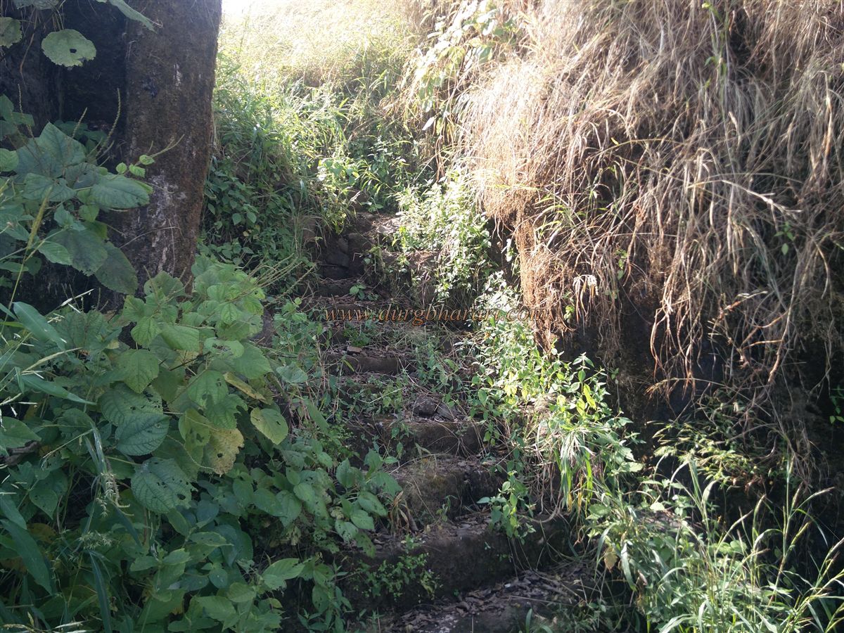
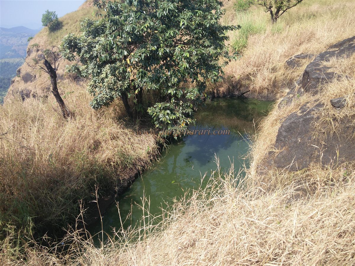
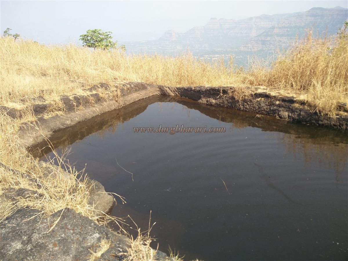
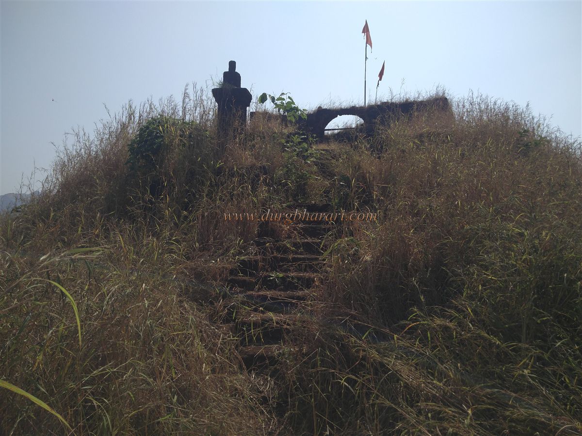
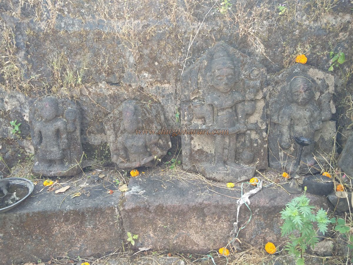
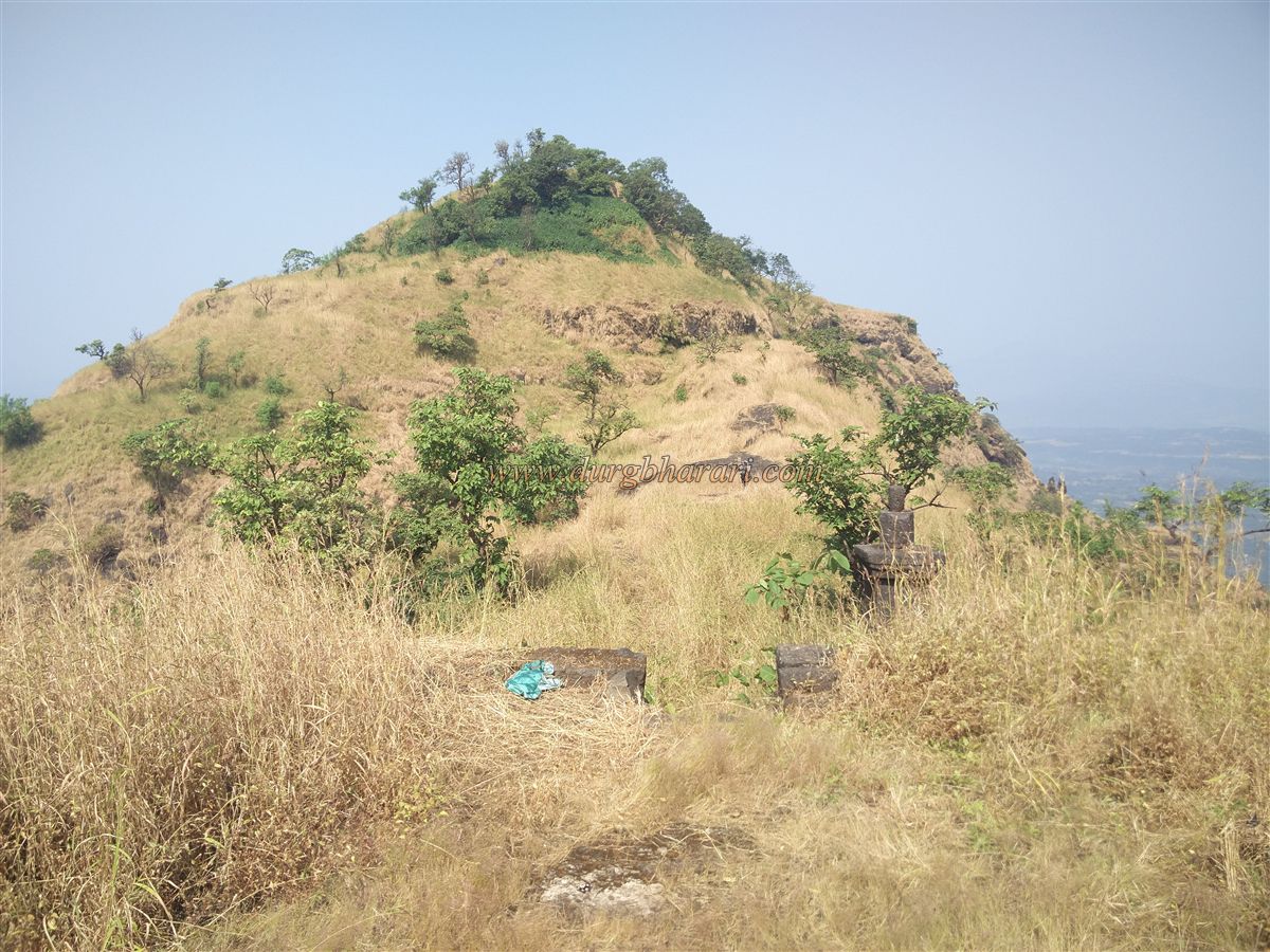
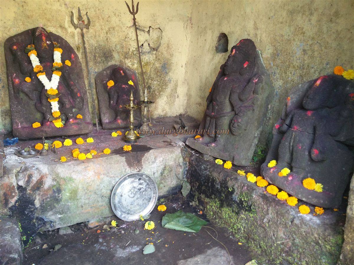
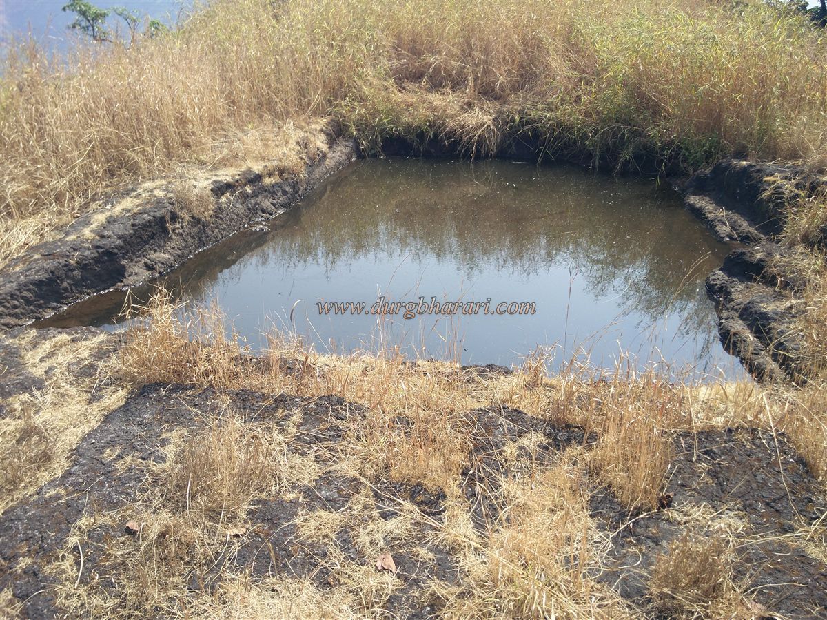
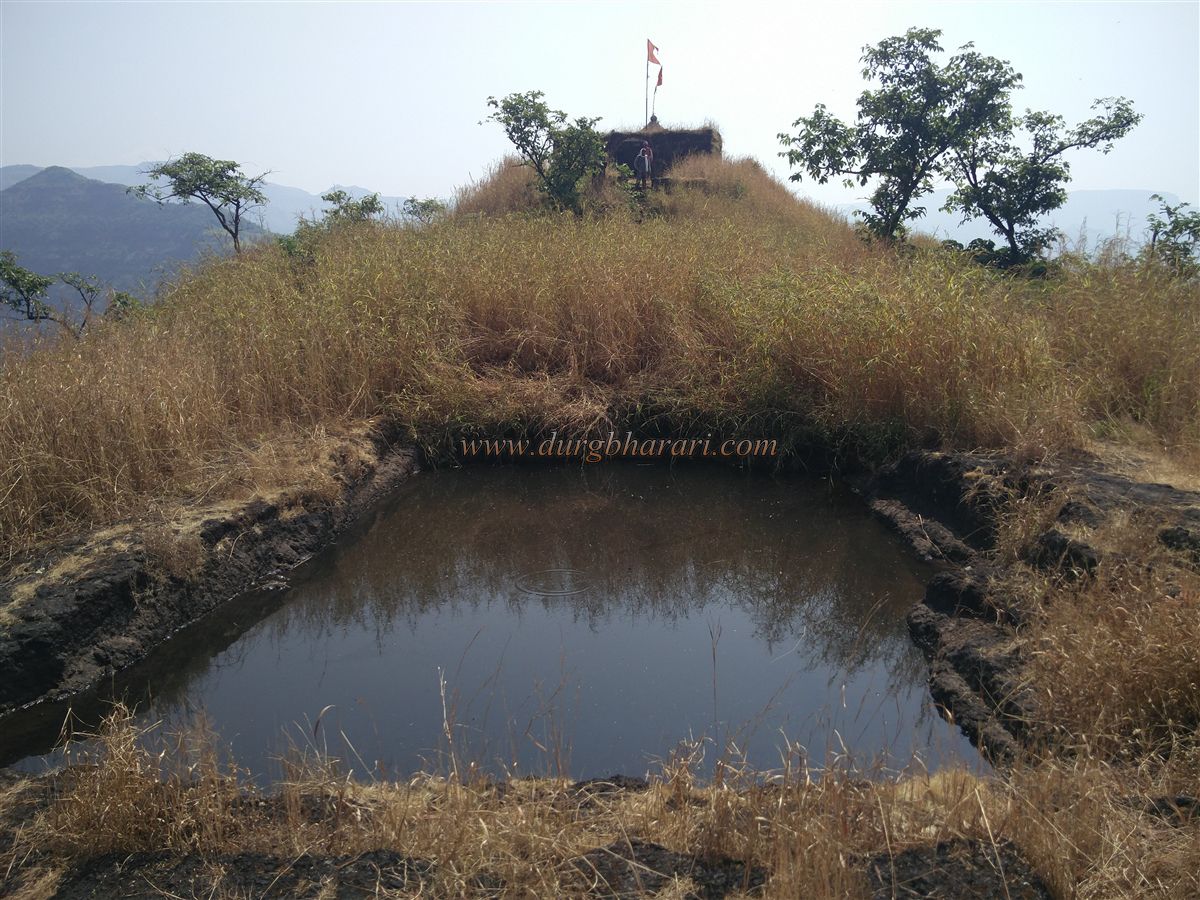
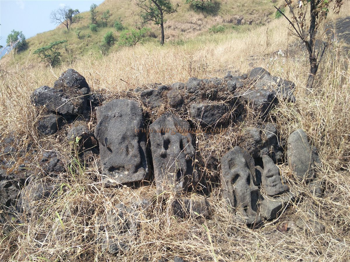
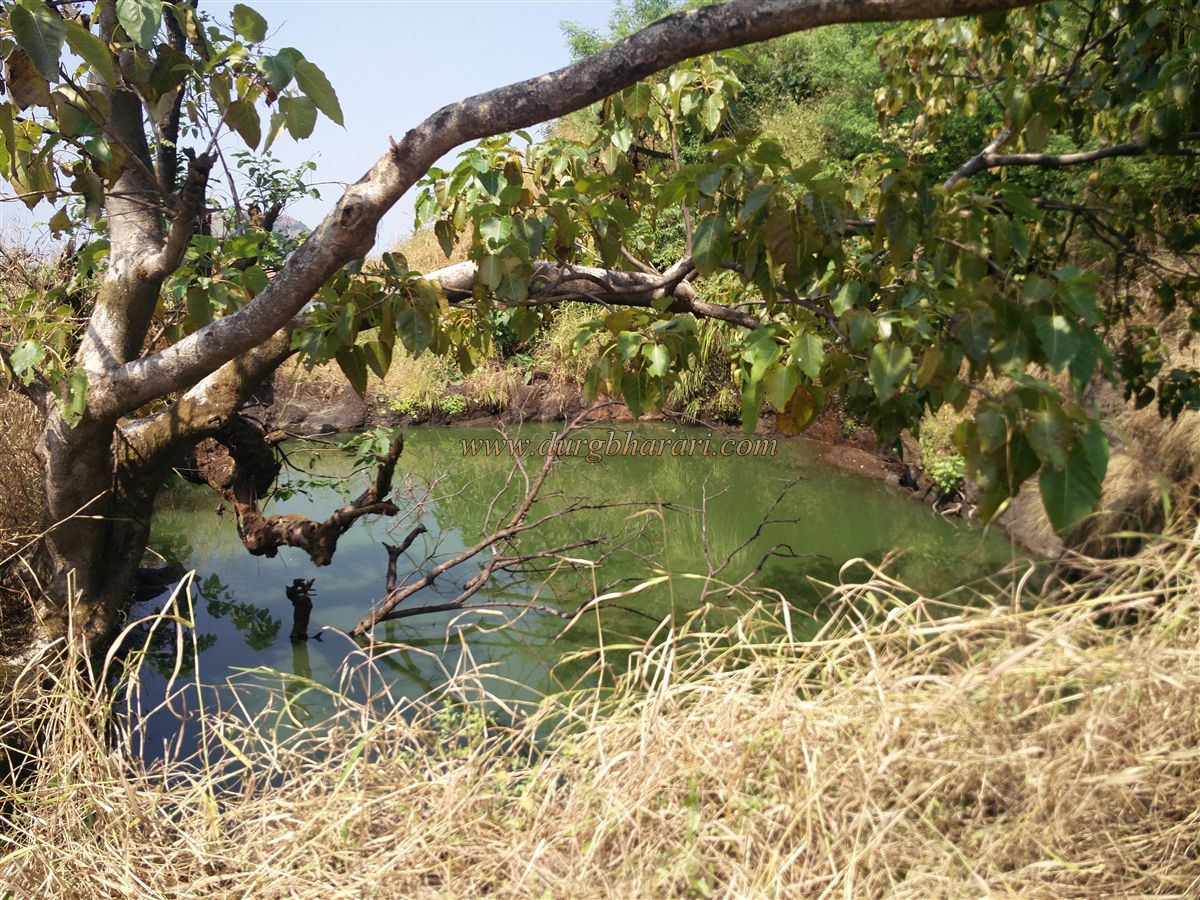
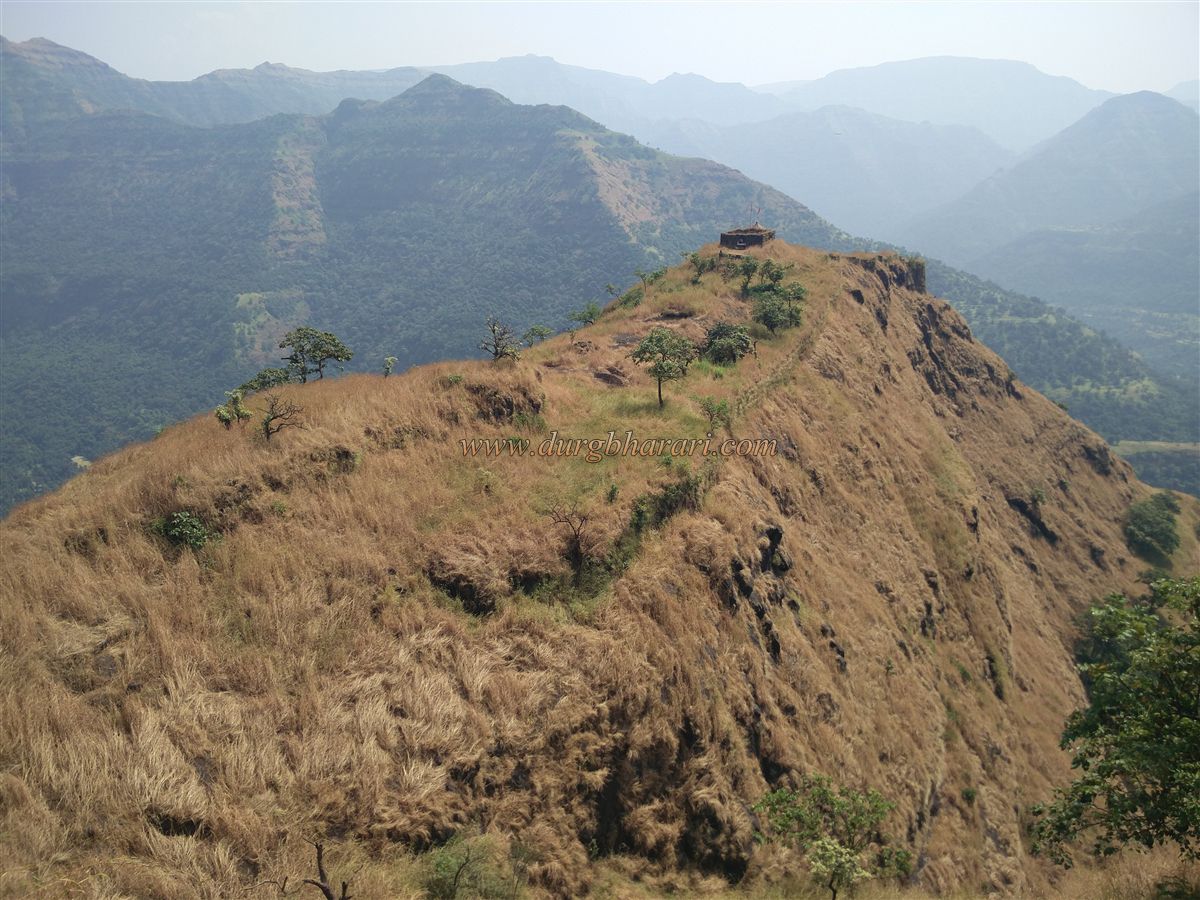
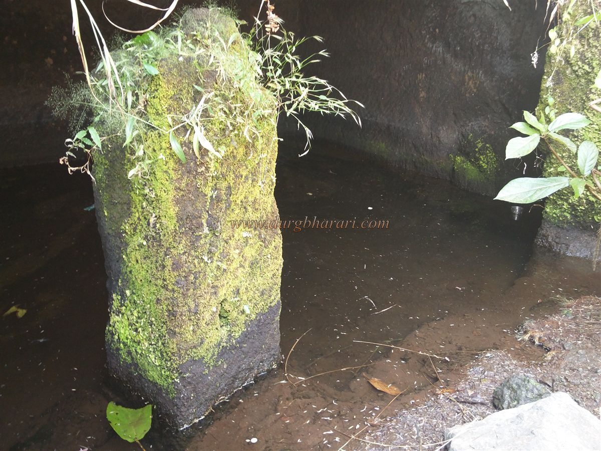
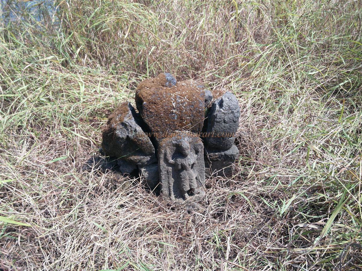
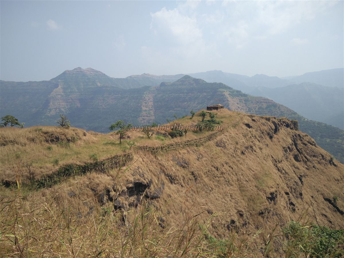
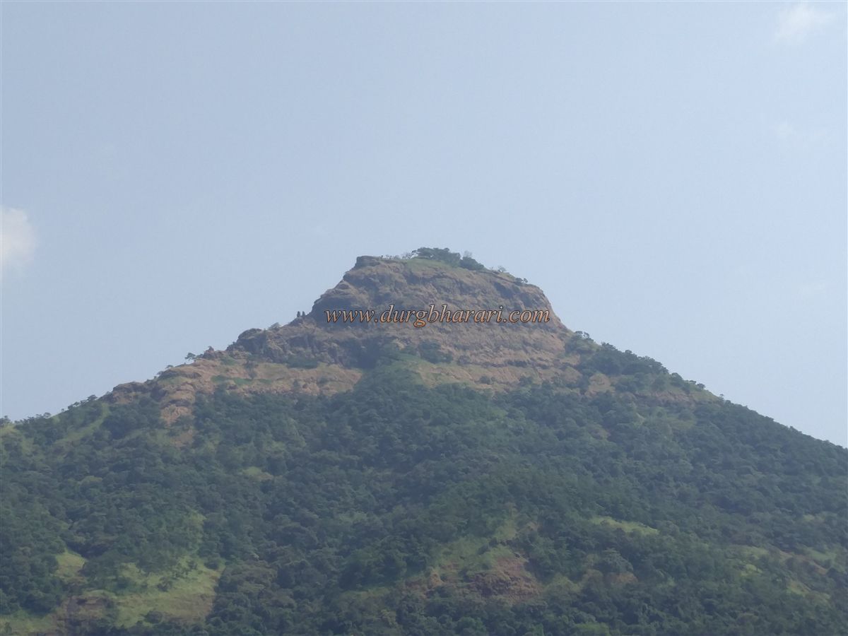
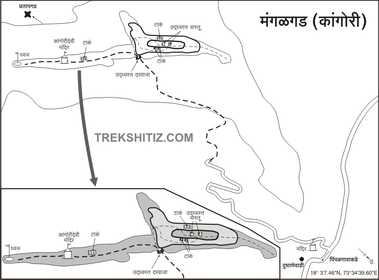
The chain of forts made it difficult for the enemy to reach the capital. Among the forts on the wharf route, Mangalgad aka Kangorigad is situated on a high hill in the valley of Jawali. Although the exact date of construction of this fort is not known, it is said that this fort was built by Chandrarao. Mangalgad is a sub-fort of Raigad on the way down to Konkan. This fort was an important fort for surveillance. To visit Mangalgad in Mahad taluka, one has to reach Dhalkathi village on Mahad Bhor road. The road turning right from this village leads to Pimpalwadi village at the foot of the fort. This village is at a distance of 25 km from Mahad. From Gogavalewadi in Pimpalwadi village, an unpaved road leads to the wide plateau on the hill below the fort. As this hill acts as an obstruction, you can’t see the fort from Gogavale valley. At the back of the Siddheshwar temple in Gogavale valley, you can see hero stones and ancient idols. It takes half an hour to reach the hill plateau from Pimpalwadi. At the point where this road ends at the plateau, there is a hill with the fort. As the hill trunk was broken to some extent during the construction of the unpaved road, the path leading up to the trunk is not immediately noticeable. When you start climbing from this trunk, you can see the temple of Goddess Kangori on the left side of the hill and the bastion at the front end. As we ascend towards this bastion, we cross a small stone staircase and reach the rock patch under the bastion. After climbing this hill, we come to the stage below the bastion. The path to the left from here takes you to the gate of the fort. Due to the large number of trees on this road, you can’t feel the heat of the sun. Broken iron fences can be seen in some places along the way. Under the bastion, you enter the fort in half an hour through the remains of a ruined east-facing gate. The fort is 2295 feet above sea level and the area of the fort is spread over 9 acres from east to west. Twelve steps are built on the lower side of the gate and the bastions and ramparts adjacent to the gate are in a state of collapsing. The fort is very large, with the Machi of the fort on the left and the citadel on the right. Before going to the citadel, visit the Machi of the fort. There is a temple of Goddess Kangori in the upper part of Machi and on the way to this temple, you can see cisterns carved in the rock with steps on the right side of the road. There are other cisterns on the way ahead and there are also many worn idols near these cisterns. As the temple of Goddess Kangori is on a hill, after climbing 12 steps, you enter the temple through a circular arch. The sanctum sanctorum and prayer hall of the temple has still standing but the roof of this prayer hall has collapsed. There are two more stone idols along with the idols of Kalbhairav and Kangori Devi and some broken stone idols are kept outside the temple. There is a small Deepmal in front of the temple. The villagers have kept cooking utensils in the temple as they visit the temple every year. If you want to stay at the fort, you can stay here except in the rainy season. The small machi at the back of the temple is built with a rampart. The footpath leading down from the temple leads directly to the flagpole on this bastion at the end of Machi. From this end of Machi, one can keep an eye on the remote region of the Jawali valley. After seeing this part of Machi, come to the main gate and take the path on the right towards the citadel. The beginning of the fort is very narrow and only one person can go at a time. In five minutes, we reach the largest cistern on the fort. From here, the path goes up to the end of the fort, while the path on the right takes a detour around the citadel and goes to the water cistern in the belly of the fort. Here, there are two pillared water cisterns carved in the rock and one of them has potable water all year round. After seeing these cisterns, come back to the previous cistern and from there go up the hill. After climbing to the citadel, the remains of two structures can be seen. One of these is the remains of the quadrangle structure of a mansion and the other is the walls of a structure. This wall is about eight to ten feet in height and has a window. There is a hummock near the quadrangle structure and there are two Shivlings. At some distance from Shivling, a broken Nandi can be seen. After descending a little from here, we reach the bastion at the end. This bastion’s height is about 20-25 feet. Below this bastion are two small pinnacles and the locals call them Navra-nawari pinnacles. From the fort, one can see Makrandgad, Pratapgad, Raigad, Lingana fort, and the plateaus of Rayareshwar, Koleshwar, and Mahabaleshwar. It takes 2 hours to reach the fort from the base and 1 hour to see the entire fort. When you come down from the citadel to the Machi, your fort round is complete. When Shivaji Maharaj captured Jawali in January 1656, the forts of Kangorigad, Vasota, Dhavalgad, and Rayari joined the Swarajya. Shivaji Maharaj repaired Kangorigad and renamed it Mangalgad. After the death of Sambhaji Maharaj, the Raigad fort was besieged and its treasures had to move to a secure place. So, this treasure was first shifted to Kangorigad and then to Panhala. In March 1689, when Zulfiqar Khan laid siege to Raigad and captured the surrounding forts, Mangalgad fell to the Mughals. In 1690, Ramchandrapant Amatya conquered Mangalgad. Due to its proximity to the capital, Raigad, Mangalgad was used to house political criminals. In 1817, Sardar Bapu Gokhale arrested Colonel Hunter and Morrison of the Madras Regiment and imprisoned them at Mangalgad. In May 1818, when the British laid siege to Raigad, a detachment of soldiers came from Mangalgad to defend Raigad. It is mentioned that this detachment fought with the British army near Birwadi. After the Raigad fort was defeated in 1818, it came under the possession of a British officer, Colonel Prother.
© Suresh Nimbalkar
GALLERY